
Joshua Tree Hiking: Best Trails by Difficulty and Access
Joshua Tree brings two deserts together in one park: the Mojave Desert in the northwest, covered with Joshua trees at elevations between 3,900 and 4,900 feet, and the Colorado Desert to the south, lower, hotter, and harsher. On foot, you move from one to the other without any transition: pink granite boulder fields, forests of twisted yuccas, and palm oases appearing out of nowhere. If you only have time for one hike, choose Ryan Mountain (3.0 miles round-trip, 1,050 feet of elevation gain). The view from the summit takes in the entire park. For a short outing that works for everyone, Barker Dam (1.3-mile loop, easy) is our top family pick. If you want a full day in the desert, Lost Palms Oasis (7.5 miles round-trip) is waiting for hikers with sturdy shoes and plenty of water.
Getting Ready for a Hike in Joshua Tree
Entrance fees and permits. You don't need a special permit for day hikes. The park entrance fee is all you need ($30 per vehicle, $15 per pedestrian or cyclist, 2025 rates). To camp outside developed campgrounds, you can get a free backcountry permit at the registration boards near the trail areas.
Water comes first. There are no water sources on Joshua Tree's trails. Bring at least 1 liter per hour per person, plus extra in case of heat or a faster pace. Dehydration is the park's leading cause of medical evacuations.
Heat. From June through September, temperatures regularly climb above 100°F around midday. During this period, start before 9 a.m. or after 4 p.m. Even in spring and fall, exposed trails are uncomfortable from 11 a.m. to 3 p.m.
Wildlife. Horned rattlesnakes, scorpions, and violin spiders live under rocks and in granite crevices. Never turn over a rock with your bare hands. You may observe protected desert tortoises, but don't touch them. The Joshua Tree wildlife guide lists the species to look for and the ones to avoid.
Dogs. Dogs aren't allowed on any trails in the park. They are allowed on a leash up to 6.5 feet long on paved roads, in parking lots, and in campgrounds. If you're traveling with a pet, arrange an alternative for your hikes.
Basic safety. Tell someone your route before you leave. Cell service is absent or very weak in several areas. For hikes longer than 3 hours, bring a headlamp and a lightweight emergency blanket. The general Joshua Tree guide covers the safety instructions and rules you need to know before you head out.
The Best Hikes by Area
Northwest Area: Hidden Valley, Barker Dam, and Cap Rock
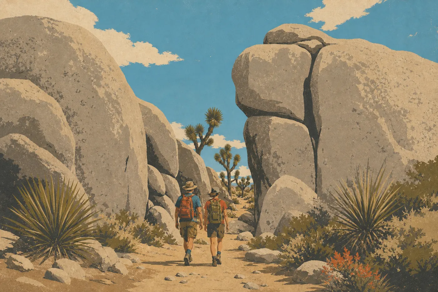
This area has most of the park's trails and hikers. The landscape is at its most cartoonish here: granite boulders stacked as if by a distracted giant, with Joshua trees reaching toward an oversized blue sky. You can get there through the West Entrance (Yucca Valley) or the North Entrance (Twentynine Palms).
Hidden Valley Trail 1.0-mile loop · flat · easy · about 45 min
What you'll see: a basin ringed by granite walls. Local legend says cowboys used it to hide stolen cattle. It's also the park's climbing headquarters, where climbers practice on the boulders year-round. Watching them is part of the experience. Trailhead and parking: Hidden Valley parking area on Park Boulevard, about 14 miles from the West Entrance. Tip: the parking lot fills by 8:30 a.m. on weekends from March through May. Pair it with Barker Dam by starting before 8 a.m.
Barker Dam Trail 1.3-mile loop · 100 feet of elevation gain · easy · about 1 hour
What you'll see: a reservoir built by ranchers in the early 20th century, Native American petroglyphs on a rock face, and the area's best concentration of wildlife, including bighorn sheep and migratory birds drawn by the water. It's our favorite for families and photography. Trailhead and parking: Barker Dam parking area, 1.2 miles north of Hidden Valley on a dirt road suitable for regular passenger cars. Warning: the petroglyphs are protected. Don't touch them or climb the rock face. Federal fines apply.
Cap Rock Trail About a 0.4-mile loop · flat · very easy · accessible to visitors with disabilities
What you'll see: a jumble of massive granite boulders in desert silence. It's an excellent introduction to the park's geology and is suitable for strollers and wheelchairs on nearly the entire route. Trailhead and parking: Cap Rock parking area, at the intersection of Park Boulevard and Keys View Road.
Central Area: Ryan Mountain and Lost Horse Mine
Ryan Mountain Trail 3.0 miles round-trip · 1,050 feet of elevation gain · moderate · about 2 to 2.5 hours
What you'll see: from the 5,279-foot summit, a 360-degree view of Pinto Basin, the Little San Bernardino Mountains, and, on clear days, snow-capped Mount San Jacinto. It's the most complete view in the park that's accessible on foot. Trailhead and parking: Ryan Mountain Trailhead on Park Boulevard, between the Keys View Road junction and Pinto Basin Road. Tip: the trail is completely exposed, with no shade. In every season, start before 9 a.m. In summer, save it strictly for first light.
Lost Horse Mine Trail 6.5 miles round-trip · 600 feet of elevation gain · moderate · about 3 to 4 hours
What you'll see: the remains of a gold and silver mine operated from 1893 to 1931, including its restored hoist wheel. Views over Lost Horse Valley are among the most open in the central area. Trailhead and parking: Lost Horse Mine Trailhead, at the end of Lost Horse Mine Road. The final 1.2 miles are on a dirt road suitable for an ordinary car in dry weather. Warning: the mine shafts are open and unsecured. Stay on the marked trail and keep away from the openings.
North Area: Indian Cove and Fortynine Palms Oasis
You can reach this area directly from CA-62 through Twentynine Palms without driving through the park on the main road. Visitors in a hurry often overlook this access point, which is a shame.
Indian Cove Nature Trail 0.6-mile loop · flat · very easy · about 30 min
What you'll see: an introduction to granite geology and Mojave Desert plants, with interpretive signs in English. It's perfect for a warm-up hike from Indian Cove Campground. Trailhead and parking: Indian Cove Campground, accessible from Indian Cove Road off CA-62.
Fortynine Palms Oasis Trail 3.0 miles round-trip · 425 feet of elevation gain · moderate · about 2 hours
What you'll see: after 1.5 miles on a rocky, completely exposed trail, a California fan palm oasis (Washingtonia filifera) appears in a rocky hollow. Pools, birds, and real shade await. It's one of the park's sharpest contrasts, as long as you arrive early. Trailhead and parking: trailhead on Canyon Road in Twentynine Palms. Warning: bring at least 1.5 liters of water per person. The route is exposed in both directions.
South Area: Cottonwood Springs
Lower in elevation, at about 3,000 feet, hotter, and radically different in its vegetation, with cholla, ocotillo, and palo verde, this part of the Colorado Desert is much less crowded. Enter through the South Entrance from I-10, Exit 168.
Lost Palms Oasis Trail 7.5 miles round-trip · 700 feet of elevation gain · difficult · about 4 to 5 hours
What you'll see: the park's largest palm oasis, with more than 100 Washingtonia palms in a steep-sided canyon. The final stretch down to the oasis is steep. The landscape is completely different from the north. Trailhead and parking: Cottonwood Spring Trailhead, South Entrance. Tip: save this hike for the cool season, from October through April. In summer, even when you're well hydrated, the Colorado Desert heat is dangerous over this distance.
Mastodon Peak Trail 3.0-mile loop · 330 feet of elevation gain · easy to moderate · about 1.5 to 2 hours
What you'll see: a summit with views of the Salton Sea on clear days, plus the ruins of an old gold mine along the way. It's a good way to explore the Cottonwood area without a major physical commitment. Trailhead and parking: same parking area as Lost Palms Oasis (Cottonwood Spring Trailhead).
Easy, Family-Friendly Hikes
The following four trails work for kids as young as 4 or 5, beginner hikers, and anyone getting back on the trail after a long break:
- Hidden Valley (1.0-mile loop): the rocks invite off-trail exploration, and kids can climb freely on the boulders around the basin.
- Cap Rock (about a 0.4-mile loop): hard-packed surface, with strollers allowed on nearly the entire route.
- Skull Rock Trail (1.7-mile loop from Jumbo Rocks Campground): includes the skull-shaped rock, which is highly photogenic, plus several unusual formations. Easy, with a few small steps.
- Cholla Cactus Garden (0.25-mile walk): a natural garden of cholla cacti with tiny, clinging spines. Educational, striking, and very short. One strict rule applies: don't touch the plants. The spines detach and stay in your skin.
For families planning a full day, including a picnic, shade, and activities for the kids, the Joshua Tree family guide brings together the practical options.
Challenging Hikes and Big Views
Looking for a full day on foot, a real climb, or wide-open views? Three options stand out.
Ryan Mountain is our unanimous recommendation for effort versus reward: a 2.5-hour round-trip hike to a panorama that stands as the park's signature view.
Willow Hole Trail (about 6.8 miles round-trip, moderate) starts at Wonderland of Rocks Trailhead and ends at a rocky pool with seasonal ponds and some of the park's most spectacular granite formations. It's one of the least crowded trails in the north. If the Hidden Valley parking lots are full, this is our recommended backup plan.
Lost Palms Oasis (7.5 miles round-trip) is the longest and most demanding hike on this list. It requires good physical fitness, suitable footwear for rocky terrain, and careful planning, including water, an early start, and the right season.
For climbers, Joshua Tree is one of the world's best-known granite climbing areas, with more than 8,000 routes documented on the park's boulders. The Joshua Tree activities guide covers ways to get started or improve with a guide.
Access, Trailheads, and Parking
The park has no shuttle. Every trailhead has its own parking area, and a car is still the only way to get between areas.
From I-10 West, Exit 117: take CA-62 toward Yucca Valley or Twentynine Palms. This route provides access to the West Entrance and North Entrance, and therefore to Hidden Valley, Barker Dam, Cap Rock, Ryan Mountain, Lost Horse Mine, Skull Rock, and Fortynine Palms Oasis.
From I-10 East, Exit 168: direct access to the South Entrance at Cottonwood Springs, the starting point for Lost Palms Oasis and Mastodon Peak.
Indian Cove: accessible only from Indian Cove Road off CA-62 in Twentynine Palms, without driving through the park on the main road.
The Hidden Valley, Barker Dam, and Ryan Mountain parking areas fill by 8:30 a.m. on weekends from March through May. You have two options: arrive before 8 a.m. or switch to the Cottonwood area trails, which are much less crowded for similar distances. There is no separate parking fee. The entrance fee covers all parking areas.
Detailed directions from Los Angeles or Palm Springs, along with driving times, are collected on the Joshua Tree access page.
When to Hike in Joshua Tree
Spring, from March through May, and fall, from October through November, are the two best windows. In spring, wildflowers sometimes cover the plains after good years of rain, and daytime temperatures range from 68 to 84°F. In fall, the light turns golden, nights are cool, and crowds thin out noticeably.
Winter, from December through February, works for daytime hikes, with temperatures from 54 to 64°F, but nights can freeze at higher elevations. Snow occasionally falls on the park's highest points.
Summer is strongly discouraged for hiking, except for extreme early risers: temperatures reach 100°F by midmorning, nighttime lows stay around 75°F, and most trails have no shade.
For month-by-month details and seasonal weather alerts, see the Joshua Tree guide to the best times to visit.
Which Hike Fits Your Style?
| Hiker profile | Recommended trail |
|---|---|
| Families, kids age 5 and up | Hidden Valley (1.0-mile loop) or Cap Rock (about 0.4 mile) |
| Fit hikers, half-day | Ryan Mountain (3.0 miles, 360-degree views) |
| Photography and morning light | Barker Dam (water, wildlife, petroglyphs) |
| Wildlife and plants | Fortynine Palms Oasis (palms, birds) |
| Full day, deep desert | Lost Palms Oasis (7.5 miles, Cottonwood area) |
| Rocky scenery, fewer people | Willow Hole (about 6.8 miles, Wonderland of Rocks) |
To plan your entire trip, from routes and lodging to budget and activities, our general Joshua Tree guide is the best place to start.
Frequently Asked Questions
What's the best hike in Joshua Tree?
The best Joshua Tree hike depends on your fitness and the time you have. For a complete view of the park, Ryan Mountain, a 3.0-mile round trip with 1,050 feet of elevation gain, is our benchmark. For a short, accessible introduction, Hidden Valley, a 1.0-mile loop, is the top choice.
Are Joshua Tree hikes difficult?
Joshua Tree hikes vary widely in difficulty. You can hike Cap Rock and Hidden Valley without special training, while Ryan Mountain and Lost Palms Oasis require good physical fitness. Summer heat is usually more limiting than elevation gain.
Is it safe to hike in Joshua Tree?
Hiking in Joshua Tree is safe if you follow three practical rules: bring at least 1 liter of water per hour per person, avoid outings between 11 a.m. and 3 p.m. from June through September, and stay on marked trails so you don't surprise rattlesnakes or scorpions. Always tell someone your route before you leave.
Do you need a permit to hike in Joshua Tree?
You don't need a permit for day hikes in Joshua Tree. The park entrance fee, $30 per vehicle, is enough. Only camping outside developed campgrounds requires a free backcountry permit, available at registration stations near the park boundary.
Are there easy, family-friendly hikes in Joshua Tree?
Yes, several easy hikes work well for families in Joshua Tree. Cap Rock, about 0.4 mile and stroller accessible; Hidden Valley, 1.0 mile with rocks to explore; and Skull Rock, 1.7 miles, are the three best options. Bring plenty of water and wear a hat in every season.
Can you hike with your dog in Joshua Tree?
No. Dogs aren't allowed on the trails in Joshua Tree National Park. They are allowed on a leash up to 6.5 feet long on paved roads, in parking lots, and in campgrounds, but not on trails.
When is the best time to hike in Joshua Tree?
The best time to hike in Joshua Tree is spring, from March through May, for wildflowers and mild temperatures, and fall, from October through November, for golden light and smaller crowds. Our When to Visit page details conditions month by month.
Are there loop hikes in Joshua Tree?
Yes, Joshua Tree has several loop hikes. Hidden Valley (1.0 mile), Barker Dam (1.3 miles), Cap Rock (about 0.4 mile), Skull Rock (1.7 miles), and Mastodon Peak (3.0 miles) are all loops. Ryan Mountain and Lost Palms Oasis are round trips.
How do you reach the trailheads, and is there a shuttle?
Joshua Tree has no shuttle. You can reach every trailhead by car, and each one has its own parking area. The Northwest Area parking lots, including Hidden Valley and Barker Dam, are the most congested from spring through the weekend. Our Access & Transportation page has directions from Los Angeles and Palm Springs.
Which trails are best for wildlife or views?
For wildlife, Barker Dam, with bighorn sheep and birds around the water, and Fortynine Palms Oasis, with palms and varied birdlife, are the most productive trails. For views, choose Ryan Mountain, with a 360-degree view from 5,279 feet, or Mastodon Peak, with views of the Salton Sea on clear days. Our Wildlife page covers the park's species and the best conditions for viewing them.