
Getting Around Joshua Tree: Entrances, Shuttles, and Parking
Joshua Tree doesn't have a shuttle. A car is the only way to get from one area to another, so you'll be behind the wheel. That's not a drawback. It's what lets you set your own pace in this park. But with five entrances, two main roads, and parking lots that fill up before 10 a.m. on weekends, a little logistical planning makes a big difference. In short, you'll visit Joshua Tree entirely in your own vehicle, with no required shuttle. For planning your overall trip, our complete Joshua Tree guide is the place to start.
For distances, roads, and transportation options from Los Angeles, Palm Springs, Las Vegas, or San Diego to Joshua Tree, see our guide to getting to Joshua Tree.
Park Entrances and Which One to Choose
Here's the key point for getting around inside the park: Indian Cove Entrance, reached from CA-62, doesn't connect to the park's internal road network. It only serves the Indian Cove area. To drive across Joshua Tree in one go, the classic route enters through the West Entrance and exits through the North Entrance, without turning around.
Getting Around the Park
By Car
Two roads carry virtually all traffic inside the park:
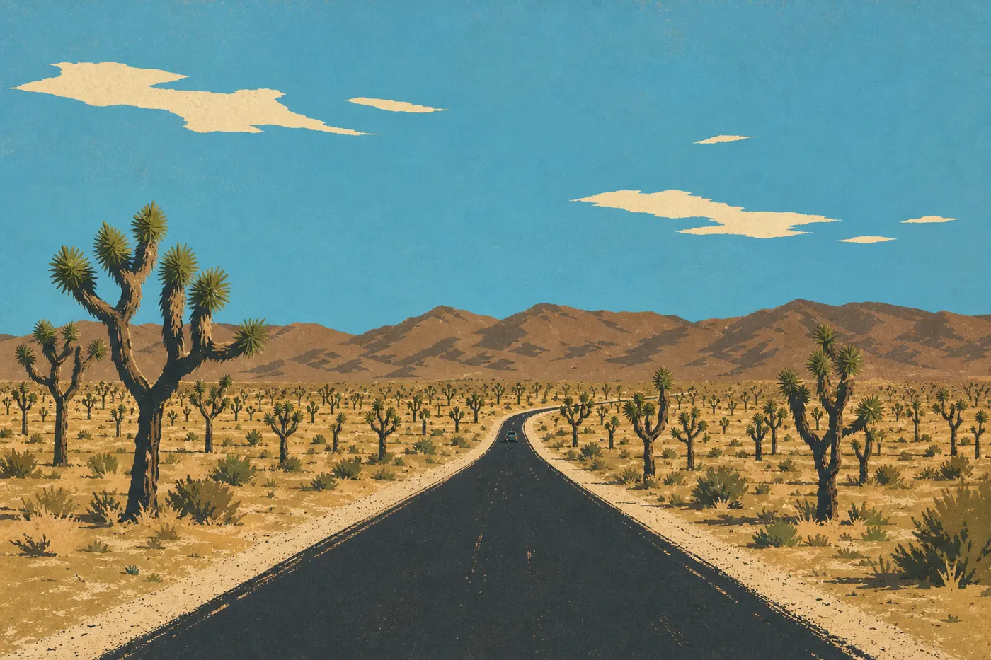
- Park Boulevard: The main paved road connects the West Entrance and North Entrance over about 29 miles. It runs through the heart of the park, past Hidden Valley, Skull Rock, Barker Dam, and Ryan Mountain, and serves most of the trailhead parking lots.
- Pinto Basin Road: From the central junction near Intersection Rock, it runs south to Cottonwood for about 31 miles. The landscape changes completely: the granite boulders disappear, replaced by the Cholla desert and Pinto Basin.
The speed limit is 45 mph on the main roads and 25 mph in campgrounds and picnic areas. Rangers issue tickets, and desert tortoise crossings can't be predicted. Slow down and stay alert.
There are a few dirt roads for high-clearance vehicles. Geology Tour Road, about 17 miles long, is the best known. A 4WD vehicle is recommended for the second half. Check with a visitor center before heading out.
By Shuttle
Joshua Tree has no in-park shuttle. Unlike Zion, where shuttles are required during the busy season, all traffic here travels by private vehicle.
By Bike
You can ride a bike on Park Boulevard, but the road has no dedicated bike lane. It's best left to cyclists who are comfortable riding alongside traffic. Geology Tour Road and several other dirt roads are better suited to mountain bikes. Either way, bring at least 4 liters of water per person. Dehydration comes on quickly and quietly in the desert.
Where to Park: Parking Lots and Roadside Parking
Every trail or point of interest has its own parking lot. There is no central parking area with connections to a shuttle network. That means you wait if a trailhead lot is full, or you come back later.
Keep a close eye on these lots:
- Hidden Valley and Barker Dam: Among the busiest in the park, both on weekdays and weekends.
- Ryan Mountain: Often full by 9 a.m. on a spring weekend.
- Keys View: A popular sunset spot with a small parking lot. Arrive before 4 p.m. during the busy season.
- Skull Rock: Accessible from Park Boulevard, with a decent number of spaces that fill quickly in the morning.
In practice, the main parking lots fill up before 10 a.m. on weekends from October through May. Plan to arrive between 7 and 8 a.m., or be prepared to wait. When we visited on a Sunday in April, the Ryan Mountain parking lot was packed at 8:45 a.m. You can park along the shoulder of Park Boulevard as long as your entire vehicle is off the road.
To find out when the park is quieter, our When to Visit page covers the slower periods and weekends to avoid. Current entrance fees, $30 per vehicle in 2026, are listed on our Fees & Passes page.
Distances and Drive Times Between Areas
Joshua Tree isn't a park you can cross in a few minutes. Driving from the West Entrance to Cottonwood via the southern route takes about 50 miles and 1.5 hours without stops. In practice, nobody makes that drive straight through.
Here are a few useful benchmarks:
- West Entrance → Skull Rock: about 11 miles, 20 minutes.
- Skull Rock → Cholla Cactus Garden: about 14 miles, 20 minutes.
- Cholla Cactus Garden → Cottonwood Visitor Center: about 19 miles, 25 minutes.
- West Entrance → Keys View: about 17 miles, 30 minutes via Cap Rock.
For a visit organized area by area, our Itinerary & Length page suggests sample days based on how much time you have.
Special Cases: RVs, Vans, Accessibility, and Pets
RVs and Vans
Most paved roads are suitable for a standard RV. Some trailhead parking lots have a maximum vehicle length, often 22 feet, so check before entering a narrow access road. Black Rock and Cottonwood are the best-equipped campgrounds for large vehicles, with hookups available. Jumbo Rocks Campground and Indian Cove work too, but they don't have hookups. Our Joshua Tree RV camping guide has details on sites, maximum vehicle lengths, and availability at each location.
Accessibility
The park has several accessible facilities. The Bajada All-Access Trail at Indian Cove, Cap Rock Nature Trail, and Cholla Cactus Garden area are paved and wheelchair accessible. Visitor centers have reserved accessible parking spaces.
Pets
Dogs are allowed in the park, but only on paved roads, in parking lots, and in campgrounds. They're not allowed on trails or in the backcountry. Leashes are required and may be no longer than 6 feet. In summer, the pavement can get hot enough to burn paw pads, so avoid walking dogs between 10 a.m. and 5 p.m.
Getting Around: Fuel, Cell Service, and Apps
Fuel: There are no gas stations inside the park. Fill up before entering in the towns of Joshua Tree, Twentynine Palms, or Yucca Valley to the north, or in Indio to the south before Exit 168. With stops, out-and-back drives, and dirt roads to explore, fuel use adds up quickly.
Cell service: It's nearly nonexistent across most of the park. You may get a few bars near visitor centers or at higher elevations, including Keys View and Ryan Mountain. Download your maps for offline use before entering with Maps.me, AllTrails, or the official NPS map.
NPS app: The official National Park Service app gives you offline access to maps, closure alerts, and road-condition information, as long as you download the content before leaving. It's free and more reliable than hoping for a signal.
Frequently Asked Questions
How do you get around Joshua Tree National Park?
A private vehicle is the only way to get around Joshua Tree. There is no in-park shuttle. Park Boulevard in the north and Pinto Basin Road in the south are the two main paved routes.
Can you visit Joshua Tree by car?
Yes, and you'll need to. All the major sites, including Skull Rock, Barker Dam, Keys View, and Hidden Valley, are accessible by paved roads. Some dirt roads require a 4WD vehicle.
Where can you park in Joshua Tree?
Each site has its own parking lot. Hidden Valley, Barker Dam, Ryan Mountain, and Keys View fill up first. Aim to arrive before 9 a.m. on spring or fall weekends.
Which entrance is best for Joshua Tree?
The West Entrance is the most convenient from Los Angeles or Palm Springs, and it lets you drive across the park toward the north. Cottonwood is the better choice if you're arriving from I-10 or Arizona.
Is there cell service in Joshua Tree National Park?
Very little. There's almost no signal across most of the park. Download maps and directions for offline use before entering.
Does Joshua Tree charge an entrance fee?
Yes. The fee is $30 per vehicle, $25 per motorcycle, or $15 for pedestrians and bicyclists. The America the Beautiful pass, $80, is valid at all U.S. national parks. For entrance fees and annual passes, see the National Parks Fees & Passes page.
How long do you need to visit Joshua Tree?
It depends on your priorities and pace. Our Itinerary & Length page suggests one-day, two-day, and three-day itineraries.