
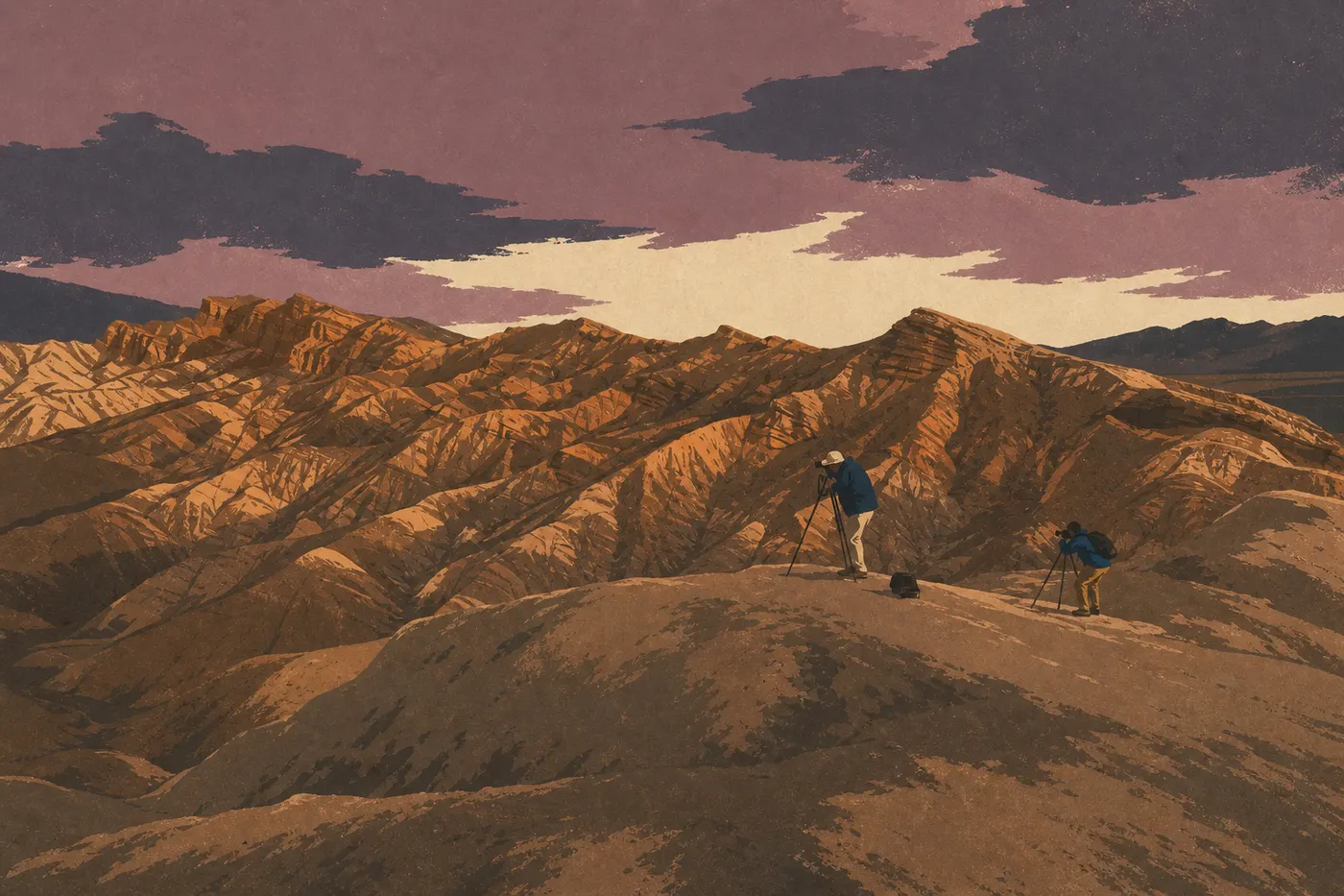
Death Valley Weather: Forecasts, Climate, and Current Conditions
Death Valley is a desert basin 282 feet below sea level, surrounded by rocky walls that trap hot air and prevent it from circulating. Its climate is hyper-arid, with about 2 inches of precipitation a year, roughly what some cities might get in a single rainy month. The short answer: the park is beautiful and manageable from October through April, demanding starting in May, and potentially dangerous from June through September without serious preparation.
Current readings are unavailable. See the seasonal averages farther down this page.
Open-Meteo readings · updating… · park time zone
Death Valley Climate Month by Month
The figures below are for Furnace Creek, the reference station located in the heart of the basin. Higher-elevation areas, including Dantes View at 5,476 feet and Telescope Peak at 11,044 feet, record considerably lower temperatures.
| Month | Low | High | Precipitation |
|---|---|---|---|
| January | 39°F | 64°F | 0.2 in |
| February | 45°F | 73°F | 0.2 in |
| March | 54°F | 82°F | 0.2 in |
| April | 63°F | 93°F | 0.1 in |
| May | 73°F | 104°F | 0.1 in |
| June | 84°F | 113°F | trace |
| July | 90°F | 117°F | 0.2 in |
| August | 88°F | 113°F | 0.2 in |
| September | 79°F | 104°F | 0.2 in |
| October | 64°F | 91°F | 0.1 in |
| November | 48°F | 75°F | 0.2 in |
| December | 39°F | 64°F | 0.2 in |
June, July, and August bring barely 0.4 inches between them. This extreme dryness, combined with the basin's bowl-shaped topography, pushes heat to levels found nowhere else in North America.
Is Death Valley Hot or Cold? Records and Extremes
Both, with no middle ground. Death Valley holds the official world record for air temperature, 134.1°F recorded at Furnace Creek on July 10, 1913 (World Meteorological Organization). At the other extreme, the thermometer has dropped below 16°F at the same station during exceptionally cold winter nights. The difference between the absolute extremes exceeds 117°F at the same geographic location.
This is more than a trivia fact. Geography explains it all: the basin below sea level traps hot air like a pressure cooker, while the near-total lack of humidity prevents natural cooling at night. The dryness intensifies the heat far beyond what a thermometer alone can suggest.
What to Wear and Pack by Season
November through April. Wear layers you can add or remove: a T-shirt or lightweight shirt during the day, plus a fleece or jacket for evenings and cool mornings. Sturdy, closed-toe hiking shoes are essential because the terrain is rocky and the salt in the basin is hard on thin soles. Wear a hat and sunglasses year-round. Sun reflecting off the salt flats is more intense than it looks, even in January.
May through October. The rules change dramatically. Wear lightweight long sleeves for sun protection, not a tank top, and a wide-brimmed hat. Bring at least 4 liters of water per person for every hour of hiking, and more if temperatures exceed 104°F. Leave your vehicle only before 9 a.m. or after 6 p.m. Check tire pressure before heading out. Heat causes tires to expand and can lead to a blowout on overheated asphalt. Never leave a child or pet in a parked vehicle, even for a few minutes.
Warnings and Conditions to Watch
Extreme heat. When air temperatures exceed 100°F, the NPS issues a Heat Advisory. Above 109°F, it becomes an Excessive Heat Warning. Stay in air-conditioned spaces. The Furnace Creek visitor center and the Stovepipe Wells station are the two main refuges along the park's central corridor.
Flash floods. The park's topography turns even a light shower on the ridges into a torrent on the canyon floor. A flood can arrive under clear skies in the valley, fed by a storm you can't see 19 miles away. Before entering a narrow canyon, make sure the sky is clear across all the surrounding high ground. Check National Weather Service alerts for the area before every outing in a confined canyon.
Road closures. Secondary roads, including Artists Drive, Titus Canyon, and the salt roads toward Badwater Basin, are often closed after rain or extreme heat. Check road conditions in real time on the park's official website or in our complete Death Valley guide before planning an unpaved excursion.
Frequently Asked Questions
What is the temperature record in Death Valley?
The world air-temperature record is 134.1°F, recorded at Furnace Creek (the Greenland Ranch station) on July 10, 1913, and recognized by the World Meteorological Organization. Ground temperatures can exceed 194°F on the salt flats in midsummer.
What is the temperature in Death Valley?
Temperatures in Death Valley range from a January low of 39°F to a July high of 117°F on the basin floor. From November through March, daytime highs range from 64 to 82°F, a very comfortable range for hiking and exploring the trails.
What is the average temperature in Death Valley?
The average annual temperature at Furnace Creek is around 77°F, but that figure is misleading. Winters are mild, with January temperatures from 39 to 64°F, while summers are extreme, with July temperatures from 90 to 117°F. In Death Valley, the season matters, not the annual average.