
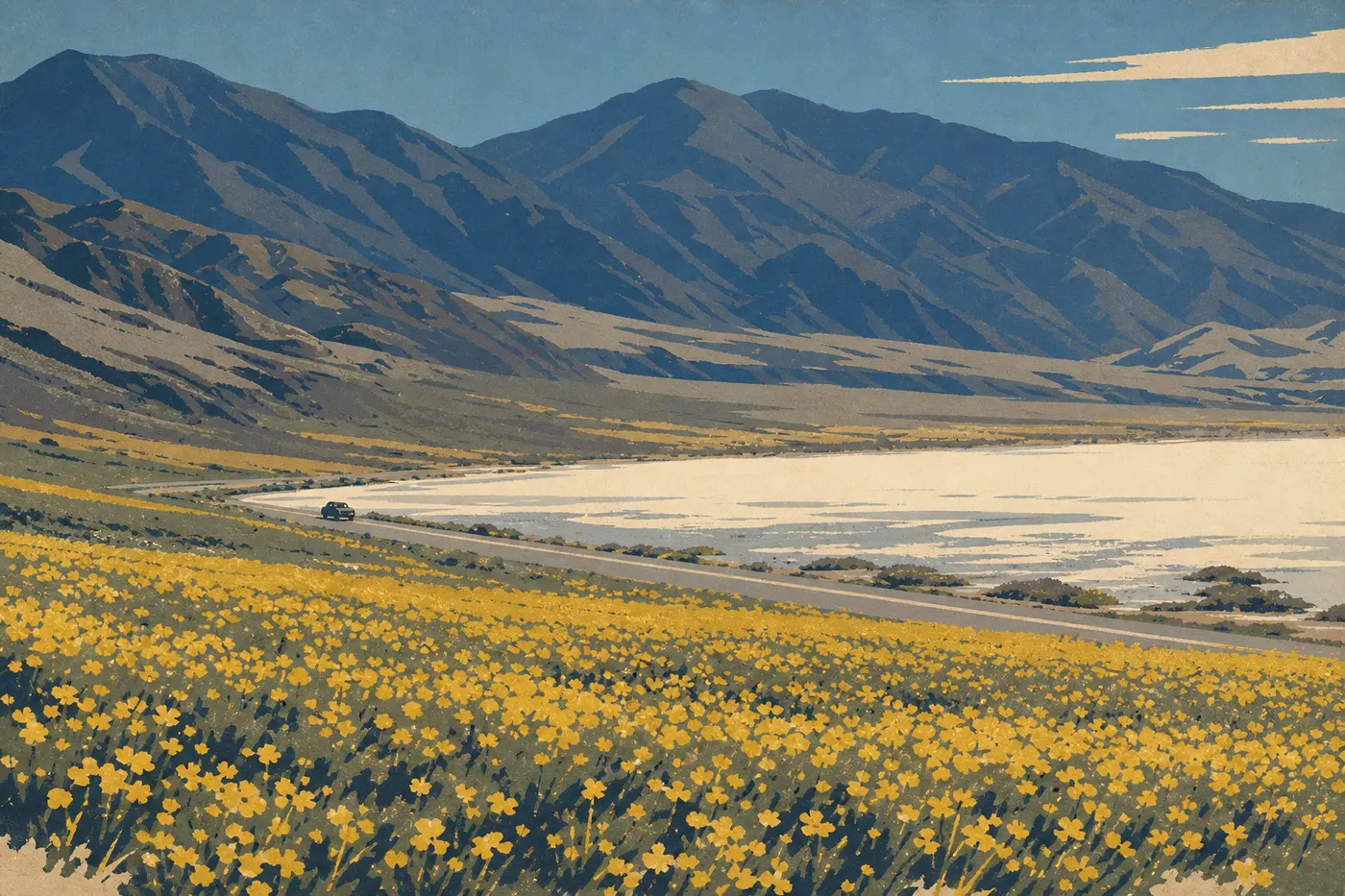
Getting Around Death Valley: Driving, Roads, and Parking
The short answer: You can only visit Death Valley by private vehicle. There are no shuttles, buses, or trains inside the park. Without a motorized vehicle, your options are limited to the immediate Furnace Creek area.
How to Get to Death Valley
Death Valley has no public transportation, so you'll need a motorized vehicle to reach the park, whether you're coming from Las Vegas (about 2 hours) or Los Angeles (about 4.5 hours). Several entrances are available depending on your direction. The guide to getting to Death Valley brings together routes, nearby airports, and organized shuttles from Las Vegas.
Your entrance pass is checked at every access point. For prices and the America the Beautiful pass, see our Fees and Passes page.
Getting Around the Park
By Car
A car is the only practical way to get around Death Valley. The park covers more than 5,200 square miles, and the distances between sites are far too great for any other option.
Highway 190 is the main east-west route. Paved roads reach all the major areas and sights, including Furnace Creek, Zabriskie Point, Badwater Basin, Artists Drive, Dantes View, Mesquite Flat Sand Dunes, and Stovepipe Wells. Two scenic roads are one-way: Artists Drive (5.6 miles) and Twenty Mule Team Canyon (4.3 miles). RVs and oversized vehicles aren't allowed on Titus Canyon, a 27-mile one-way dirt road.
You must follow the speed limits: 55 mph on open roads and 35 mph in villages and residential areas. Rangers regularly issue citations along these stretches, especially near Furnace Creek.
By Shuttle
There is no public shuttle in Death Valley. Unlike Zion or Yosemite, the NPS doesn't operate an internal shuttle. Some operators offer guided tours from Las Vegas. They're useful for a first look, but they won't let you explore the park at your own pace.
By Bicycle
Bicycles are allowed on paved roads. In practice, the distances, including more than 25 miles between Furnace Creek and Stovepipe Wells, and the heat make cycling impractical outside the October-to-March window, and then only in the early morning. In summer, heat stroke and dehydration can set in quickly. You should rule out this option entirely starting in May.
Where to Park in Death Valley National Park
Parking is free throughout the park, with no meters or reservations. Each site has its own parking area.
During the busy season, including February through April for wildflowers and fall weekends, some parking lots fill early:
Badwater Basin: The large parking lot can still be full before 9 a.m. during the busy season. Arrive before 8:30 a.m. or after 3:30 p.m. to find a spot without waiting.
Zabriskie Point: The parking lot is narrow, and cars often spill onto the roadside. For sunrise, arrive before 6:30 a.m. For late-day light, aim for after 4 p.m.
Mesquite Flat Sand Dunes: The spacious parking lot rarely fills except during peak weekend periods.
Dantes View: The access road is 6.2 miles long, narrow, and winding. RVs over 23 feet long can't use it. The parking area at the end is adequate, but it fills quickly on weekend mornings.
Furnace Creek (visitor center): This is the largest parking lot in the park. You'll almost always find a space, even during the busiest season.
Driving Distances and Times Between Areas
Distances inside the park often surprise first-time visitors. Here are the estimates from Furnace Creek, the park's central hub:
| Destination | Distance | Driving time |
|---|---|---|
| Zabriskie Point | ~5 miles | 10 min |
| Badwater Basin | ~17 miles | 25 min |
| Dantes View | ~25 miles | 45 min |
| Mesquite Flat Sand Dunes | ~24 miles | 35 min |
| Stovepipe Wells | ~25 miles | 40 min |
| Racetrack Playa | ~81 miles (4WD road) | 2.5 to 3 hours |
These times don't include stops along the way, and you will make some. To visit the areas in a logical order, see the 1-, 2-, or 3-day itinerary.
Special Cases: RVs, Vans, Accessibility, and Pets
RVs and large vans: The main roads are passable, but several areas have size restrictions. RVs aren't allowed in Titus Canyon. Racetrack Playa requires a standard-size 4WD vehicle. Vehicles over 23 feet are discouraged on the road to Dantes View. For specific parking information and dump stations, see the guide to visiting Death Valley by RV.
Visitors with mobility limitations: The Furnace Creek visitor center, main parking areas, and the lower platform at Badwater Basin are wheelchair accessible. Dantes View has an accessible viewing platform, but the path between the parking area and the viewpoint remains uneven.
Pets: Pets are allowed in the park on paved roads and in campgrounds, but not on trails or outside paved areas. In extreme heat, a dog left in a car, even with the windows cracked, can die in less than ten minutes.
Practical Transportation Information: Fuel, Cell Service, and Air Conditioning
Fuel: There are three gas stations inside the park: Furnace Creek, Stovepipe Wells, and Panamint Springs. Prices there are considerably higher than in Las Vegas or Ridgecrest. Fill up before entering the park, regardless of which entrance you use.
Air conditioning and engine safety: Long, steep passes, especially Townes Pass, put severe strain on the cooling system. The NPS specifically recommends turning off the air conditioning during sustained climbs. If the temperature warning light comes on, pull over in the shade and let the engine idle. Don't shut it off immediately, since the cooling system will keep working. Always carry several extra liters of water, both for the radiator and for yourself.
Cell service: Service is nearly nonexistent across most of the park. Some carriers provide a partial signal at Furnace Creek and Stovepipe Wells. Download offline maps before entering the park, using Google Maps or Maps.me, and pick up the free paper map at an entrance station. The NPS App works partially offline and includes road-closure alerts.
To understand how heat affects the logistics of a visit in each season, see the Death Valley weather guide.
Frequently Asked Questions
How do you get around Death Valley National Park?
You can only get around Death Valley by private vehicle. There are no shuttles or public transportation inside the park, which covers more than 5,200 square miles.
Can I drive across Death Valley?
Yes. Highway 190 crosses the park from east to west on a fully paved road. The drive takes about 1.5 hours without stops.
How long does it take to drive across Death Valley?
The drive alone takes between 1.5 and 2 hours, depending on your entry point. Allow a full day if you want to visit the main sights.
Why do you have to turn off the air conditioning in Death Valley?
On long climbs over mountain passes, especially Townes Pass, the air conditioner puts extra strain on the cooling system and can cause the engine to overheat. Turn it off during the climb and switch it back on once you're over the pass and on level ground.
Where can I park in Death Valley?
Parking is free in all of the park's parking areas. Popular sites such as Badwater Basin and Zabriskie Point fill before 9 a.m. during the busy season. Arrive before 8:30 a.m. or after 3:30 p.m.
Is there cell service in Death Valley National Park?
Cell service is nearly nonexistent in Death Valley. Some carriers provide a partial signal at Furnace Creek and Stovepipe Wells. Download offline maps before entering the park.