
Death Valley Itinerary: What to See in 1, 2, or 3 Days
Death Valley immediately exceeds expectations: 5,200 square miles of desert, terrain that drops 282 feet below sea level at Badwater Basin and rises to 11,056 feet at Telescope Peak, and sites separated by 19 to 31 miles of paved road. Two days is the reasonable minimum if you want to leave without feeling rushed: spend one night in Furnace Creek for the central and eastern areas and the south, then a second in Stovepipe Wells for the north. With three days, you can reach Racetrack Playa and its sailing stones, one of the most puzzling sights in the American West.
How Much Time Do You Need to Visit Death Valley?
1 day: possible from Las Vegas, about a 2.5-hour drive, if you focus on the three most iconic sites: Mesquite Flat Sand Dunes, Zabriskie Point, and Badwater Basin. It is tight, but doable if you leave before dawn and avoid May through September.
2 days: the ideal balance for most travelers. You will cover the central and eastern areas on day one, including Zabriskie Point, Dantes View, Badwater Basin, and Artists Drive, then the north on day two, with the dunes, Salt Creek, Titus Canyon, and Ubehebe Crater.
3 days or more: essential for Racetrack Playa, with 27 miles of unpaved road, a serious hike, or an exploration of the remains of Rhyolite Ghost Town.
The season changes everything here. Our guide to the best times to visit Death Valley covers every scenario month by month. In short, spring and fall are the ideal windows, while summer is genuinely dangerous. Temperatures of 122°F have been recorded in the valley.
Access, Entrances, and Getting Around the Park
The park is mainly accessible from Las Vegas, 155 miles away, Los Angeles, 250 miles away, and Beatty, Nevada.
There is no public transportation inside the park, so you need a car. An SUV or 4WD vehicle is essential for Racetrack Playa and Titus Canyon. Paved roads are accessible to all vehicles, but check road conditions before you leave. Flash floods can close a road for several days without warning.
The entrance fee is $30 per vehicle, valid for 7 days; $15 per person on foot or by bicycle; or $55 for the park's annual pass. The America the Beautiful pass and other options are listed on the National Parks Fees & Passes page. For getting to Death Valley from Reno, Phoenix, or San Francisco, see our access guide for routes.
Death Valley's Areas
The Central and Eastern Area: Furnace Creek
Furnace Creek is the park's logistical hub. You will find the NPS Visitor Center, gas stations, stores, hotels, and restaurants here. It is the natural base for your first two nights.
Within a 15-mile radius are the most photographed sites: Harmony Borax Works, the ruins of a 19th-century plant reached by a 20-minute walk; Golden Canyon, with vivid red conglomerate walls and a 3.1-mile round-trip hike; Zabriskie Point, with a dazzling view of volcanic-ash badlands at sunrise; Twenty Mule Team Canyon, a 5-mile driving loop through golden bentonite formations; and Dantes View, at 5,476 feet, with a panorama of Badwater Basin 5,758 feet below.
The Southern Area: Badwater Basin and Artists Drive
Thirty miles south of Furnace Creek, Badwater Basin is the lowest point in North America, 282 feet below sea level. The salt crust stretches for miles, and you can walk out onto the dry lake along a marked trail. Bring water and sunscreen, even outside summer.
Nearby, you will find Devils Golf Course, with jagged salt formations, a 5-minute drive from Badwater; Natural Bridge, a 1.6-mile round-trip hike beneath a natural conglomerate arch; and Artists Drive. This 9-mile one-way road runs along multicolored cliffs created by the oxidation of iron, manganese, and mica. The colors are at their most intense in the late afternoon.
The Northern Area: Stovepipe Wells, Titus Canyon, and Ubehebe Crater
Forty-five miles northwest of Furnace Creek, Stovepipe Wells Village offers lodging and a gas station. The Mesquite Flat Sand Dunes, just east of the village, rise about 100 feet. There is no marked trail, so you can roam freely, and the low light at dawn dramatically sculpts the ridges.
Salt Creek, 3 miles north, is home to the Mojave desert pupfish in winter and spring. This endemic species has survived in highly salty water since the last ice age. A 0.9-mile boardwalk follows the creek.
Titus Canyon Road, a 27-mile one-way drive entered from the east through Beatty, Nevada, winds through a canyon with 1,000-foot walls and Native American petroglyphs visible halfway through. Ubehebe Crater, 50 miles north of Furnace Creek on paved roads, is a volcanic crater 2,625 feet across and 656 feet deep. The 0.9-mile loop around the rim takes 30 to 40 minutes.
Day-by-Day Itinerary
Day 1: Zabriskie Point, the Southern Area, and Sunset at Artists Drive
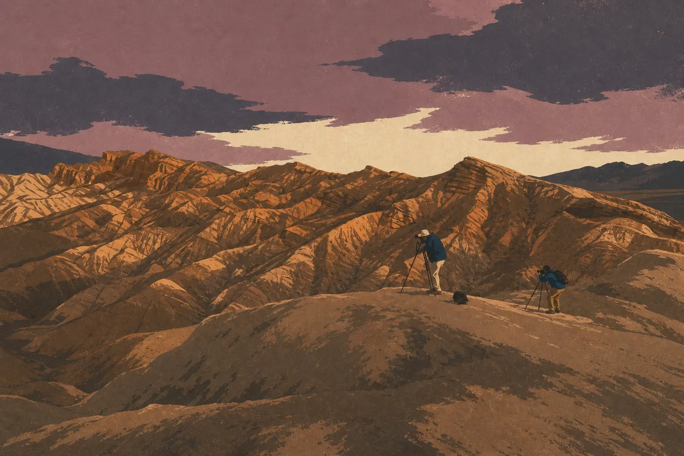
Leave Furnace Creek before 7 a.m. for Zabriskie Point, a 15-minute drive away. The soft morning light reveals shades of ocher, orange, and cream that the rest of the day washes out. When we visited in late March, we stayed for more than an hour. The colors change before your eyes as the sun climbs.
Head back down to tackle Golden Canyon, a 3.1-mile round-trip hike that takes about 2 hours. The vivid red conglomerate walls form a striking natural corridor, and you can extend the hike to Zabriskie Point on the trail if you want to make a 5-mile loop.
After lunch in Furnace Creek, drive up to Dantes View, a 25-minute drive. The elevation makes the heat more bearable, and the 5,758-foot contrast with Badwater Basin gives you a better sense of the park's scale than any other viewpoint. Then head south to Badwater Basin. Arrive after 3 p.m., when the sun is less intense and the light on the salt turns golden. Make a quick stop at Devils Golf Course on the way back.
Finish with Artists Drive, a 9-mile drive that takes about 1 hour with photo stops. The multicolored cliffs are at their best just before sunset.
Day 2: Sunrise at the Dunes, Salt Creek, and the North
Wake up before dawn and head for the Mesquite Flat Sand Dunes, 30 minutes from Furnace Creek. The low dawn light deepens the shadows in the ridges. Allow 1.5 to 2 hours to explore freely, with no set trail to follow.
On the way back to Stovepipe Wells, stop at Salt Creek if you are visiting between November and March. The pupfish in this salty trickle of water amid the desert is one of the park's most improbable contrasts.
Build your afternoon around Titus Canyon Road. Plan to leave the park on the east side via Scotty's Castle Road, then continue to Beatty, Nevada, to enter the canyon from the east. The logistics take a while, with 2 hours of driving before you even enter the canyon, but the 27 miles of narrow canyon are worth the effort. If the detour through Beatty does not appeal to you, spend the afternoon exploring the dunes freely or hiking from Stovepipe Wells instead.
End the day at Ubehebe Crater, 19 miles from Stovepipe Wells on paved roads. The rim walk takes 30 minutes at sunset and offers a dizzying view of a stark volcanic landscape.
Day 3: Racetrack Playa and Darwin Falls
Leave Ubehebe by 7 a.m. at the latest. The road to Racetrack Playa, 27 miles away, takes 1.5 to 2 hours depending on conditions. The sailing stones leave visible tracks across the playa's dried clay surface. Researchers at the Scripps Institution of Oceanography explained the phenomenon in 2014: thin sheets of nighttime ice push the stones along in the wind. You will not see the stones move, but their tracks across the cracked clay tell the whole story.
Keep three practical safety precautions in mind for this road. Check your tire pressure when you return, since quartz-rock flats are common; carry at least 4 liters of water per person; and make sure your spare tire is in good condition.
If you head back west, Darwin Falls is worth the 1-hour detour. A 1.9-mile round-trip trail through a shale canyon leads to a permanent waterfall surrounded by vegetation. It is one of the park's few shaded hikes. The route through Panamint Springs connects to CA-190 toward Los Angeles or the next leg of a regional road trip.
Variations Based on Your Time
One-day express. Focus on three visually striking sites: Mesquite Flat Sand Dunes at sunrise, leaving at 5:30 a.m.; Zabriskie Point in the morning; and Badwater Basin in the late afternoon. Stick to paved roads and avoid the entire May-through-September period without exception.
Classic 2 to 3 days. The day 1 and day 2 itineraries cover the heart of what the park has to offer. Add day 3 for Racetrack Playa if you have a suitable vehicle, such as an SUV or 4WD, and an extra night in Stovepipe Wells or at a campground near Ubehebe.
Regional road trip. Death Valley fits naturally into two major loops: Las Vegas → Death Valley → Sequoia/Kings Canyon → Yosemite, or Las Vegas → Death Valley → Joshua Tree → Los Angeles. Our Road Trips guide covers the combinations between parks, while our Mojave-Sierra Nevada Region guide covers the regional connections.
Itinerary Map
The NPS publishes an official Unigrid map available at the Furnace Creek Visitor Center and for download from the park's website. It shows paved roads, unpaved roads, campgrounds, elevations, and distances between sites. Ask for a paper copy when you arrive. The map is updated after every road closure and remains the most reliable reference in the field. Our Death Valley map offers an annotated version with sites and estimated driving times between each stop.
Where to Stay Along the Itinerary
There are two lodging hubs in the park: Furnace Creek, with The Inn and The Ranch at Death Valley, both managed by Xanterra, and Stovepipe Wells Village. Outside the park, Beatty, Nevada, on the east side, and Panamint Springs, on the west side, are both 30 to 50 minutes from the main sites.
There are many NPS campgrounds, and most are open year-round. Our guide to lodging in Death Valley compares all the options by price, location, and availability. The Hotels & Lodges and Camping pages go into detail on each property. For travelers in camper vans or RVs, our Death Valley RV camping guide explains where hookups are available and the overnight parking rules in and around the park.
Extend Your Trip: What to See Around Death Valley
Thirty minutes east via Beatty, Rhyolite Ghost Town, Nevada, is a mining town abandoned in 1916, with ruined buildings, a house made from recycled glass bottles, and free access. An hour and a half northeast, Red Rock Canyon, Nevada, offers red sandstone cliffs in a Western landscape. Las Vegas, 2.5 hours away, remains the natural gateway and exit for a road trip centered on the Great Basin.
To the southwest, Joshua Tree National Park, about 3 hours from Furnace Creek, completes a full circuit through the Mojave. For multi-park itineraries and regional extensions, our Road Trips guide and our complete Death Valley guide provide the connections and sequencing advice.
The Ideal Itinerary for Your Time
| Length | Recommended nights | What you'll cover |
|---|---|---|
| 1 day | None, day trip | Dunes, Zabriskie Point, Badwater Basin |
| 2 days | Furnace Creek + Stovepipe Wells | + Dantes View, Artists Drive, Ubehebe Crater |
| 3 days | Same, plus a second night in Stovepipe Wells or camping at Ubehebe | + Racetrack Playa, Darwin Falls, Titus Canyon |
Death Valley does not need superlatives. The numbers speak for themselves. Give it at least two days, or three if you want to reach the corners that turn a postcard visit into an experience.
Frequently Asked Questions
How long does it take to drive across Death Valley?
Driving across Death Valley from east to west on CA-190, from Death Valley Junction to Panamint Springs, covers about 81 miles and takes 2 hours without stops. The north-south crossing from Beatty to Shoshone via Furnace Creek takes more than 4 hours. The park is not a corridor. Distances between sites mean you need to plan every leg.
How long does it take to cross Death Valley by car?
With pure driving time and no stops, allow 2 hours on the east-west route, CA-190 from Death Valley Junction to Panamint Springs. If you include the main sites, such as Zabriskie Point, Badwater Basin, Artists Drive, and the dunes, plan on a full day of 8 to 10 hours in the park.
When is the best time to visit Death Valley?
The best time to visit Death Valley is spring, from March through April, with mild days, golden light, and the possibility of a superbloom if the winter rains were sufficient. Fall, from October through November, is the second recommended window. Summer, from May through September, is genuinely dangerous, with world heat records. Our When to Go page covers every scenario month by month.
Where should you stay to visit Death Valley?
The best options for a Death Valley visit are the lodges inside the park, in Furnace Creek and Stovepipe Wells, because they are close to the sites, and NPS campgrounds, most of which are open year-round, for budget travelers. Outside the park, Beatty and Panamint Springs round out the options. Our Where to Stay guide covers every option, with prices, locations, and seasonal availability.