
What to Do in Death Valley: Must-See Sights and Activities
Death Valley National Park stretches across 5,270 square miles between California and Nevada, with landscapes unlike anything else in North America. The five places to put at the top of your list are Badwater Basin (the lowest salt flat on the continent, 282 feet below sea level), Zabriskie Point (a breathtaking maze of golden badlands at dawn), Artist's Drive and its multicolored slopes, Mesquite Flat Sand Dunes, and the dizzying panorama from Dantes View. These five spots form the backbone of any successful visit, and everything else fits around them.
Death Valley at a Glance: Areas, Access, and Getting Around
The park follows a north-south route along CA-190. Four hubs shape most visits.
Furnace Creek is the headquarters. The visitor center, nearly all of the lodging, and the gas stations are concentrated here. It's the natural starting point for exploring in every direction.
South of Furnace Creek, the salt flat slopes toward Badwater Basin along Artist's Drive and Devils Golf Course.
To the east, Zabriskie Point and Dantes View overlook the valley from the Black Mountains.
Farther north, Stovepipe Wells is the second roadside village and the gateway to Mesquite Flat Sand Dunes and Mosaic Canyon.
The far north, including Ubehebe Crater, Scotty's Castle, and Racetrack Playa, requires more driving. Some of the roads also call for a vehicle with good ground clearance.
The park is open 365 days a year, with no seasonal access restrictions. The entrance fee is $30 per vehicle, valid for 7 days. The park's annual pass costs $55. For access details, the different entrances, and transportation options, see everything you need to know about getting to Death Valley. Before heading onto unpaved roads, check which roads are suitable for your vehicle in Death Valley.
How Much Time Do You Need to Visit Death Valley?
Two full days cover the major sights in the central valley: Badwater Basin, Zabriskie Point, Dantes View, Artist's Drive, and the dunes. A third day opens up the far north, including Ubehebe Crater, Titus Canyon, and Racetrack Playa, or a more demanding hike such as the climb to Telescope Peak.
A day trip from Las Vegas, about a 2-hour drive via US-95 and NV-373, is technically possible. Badwater Basin, Artist's Drive, and sunset at Zabriskie Point make for a respectable, if tight, itinerary. Still, it's a long day, and driving fatigue builds quickly after hours in the heat.
The Death Valley itinerary guide offers detailed 1-, 2-, and 3-day plans, with distances, drive times, and recommended schedules for each season.
Death Valley's Must-See Sights by Area
Furnace Creek Area: The Heart of the Park
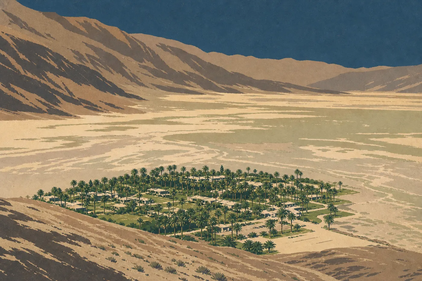
Furnace Creek Visitor Center is the logical first stop on any visit. Pick up the official NPS map, the day's weather bulletins, which are essential from April through October, and information about road closures. Park staff know the current road conditions.
Just a short distance away, Harmony Borax Works tells the story of the park's mining history in an open-air setting. The ruins of the 19th-century borax plant are reached by a flat 0.3-mile round-trip trail. You can still see the frames of the wagons pulled by the famous teams of twenty mules, the “Twenty Mule Teams,” which carried borax to the coast.
Salt Creek, a few miles northwest, is home to one of the park's most unusual species, the Salt Creek pupfish (Cyprinodon salinus). This fish has survived in the brackish water since the area was covered by lakes. A boardwalk follows the creek for a few hundred yards. Come early, before 9 a.m., when schools of fish are visible from the walkway.
Eastern Area: Badlands, Viewpoints, and Colorful Canyons
Zabriskie Point is Death Valley's signature view, a volcanic-rock terrace overlooking a maze of eroded ridges in yellow, gold, and ocher. At dawn, when the low-angled light colors the layers, the scene is striking. The parking lot fills quickly during the golden hours. Arrive 30 minutes before sunrise to find a spot. In midsummer, that means around 5:30 a.m.
Twenty Mule Team Canyon is a 3.7-mile unpaved drive. Low-clearance vehicles are not recommended. Cream, lavender, and pearl-gray bentonite formations contrast with the blue sky. It's one of the park's best-kept secrets and much quieter than the headline sights.
Dantes View rises to 5,476 feet. From the overlook, you can take in the full width of the valley at once, with Badwater Basin below to the left, its white salt glare visible to the naked eye, and Telescope Peak, at 11,050 feet, straight ahead. The access road is paved all the way to the top, but RVs longer than 30 feet are prohibited. In July and August, it's 18 to 27°F cooler than on the valley floor. Head up in the middle of the day if the heat below becomes unbearable.
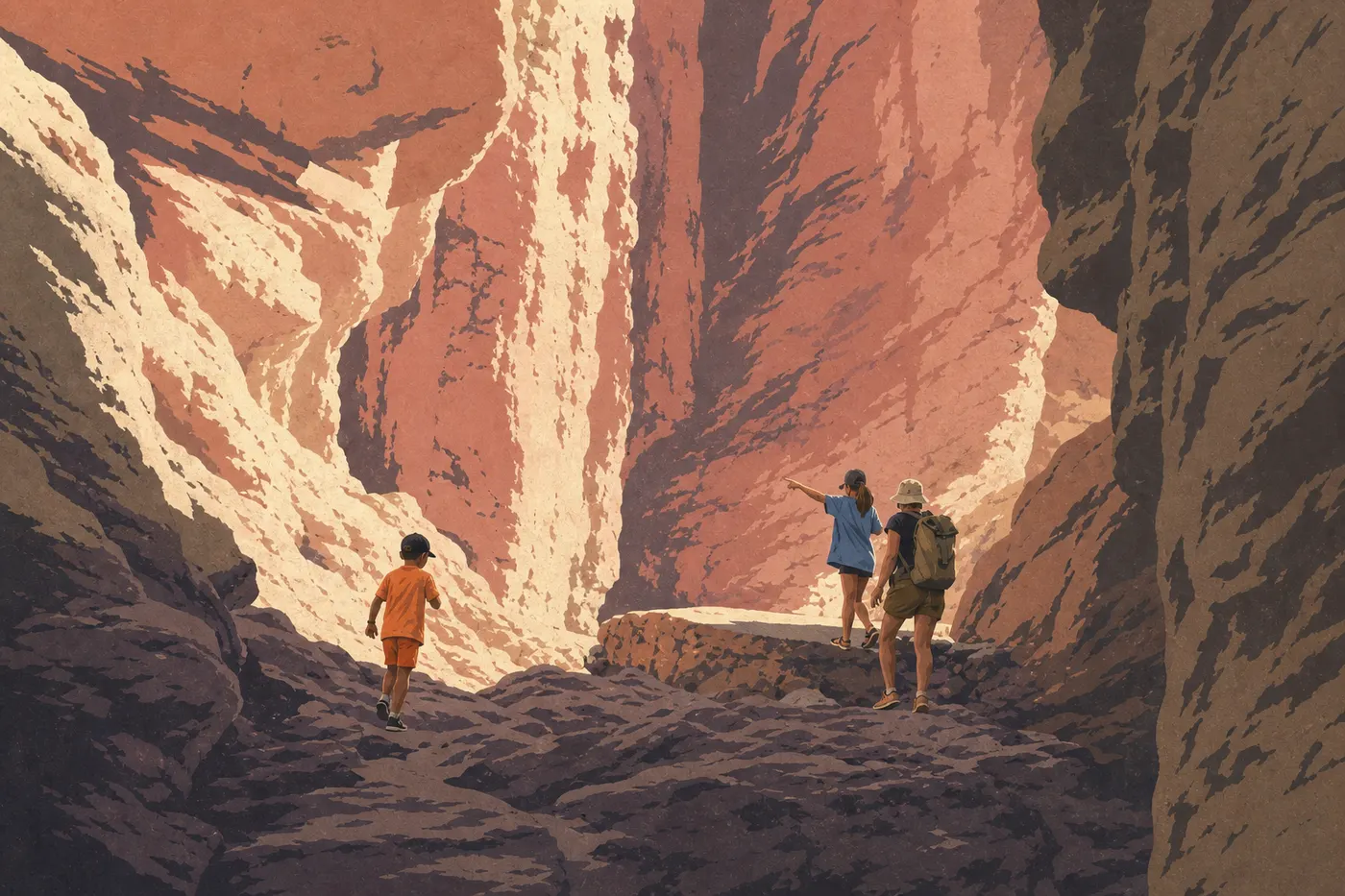
Golden Canyon is explored on foot from the parking area off Badwater Road. The trail climbs through the canyon between vivid red and orange walls. It's 1.2 miles one way to Red Cathedral, with no technical difficulty. It's a good choice with kids because it's mostly flat, colorful, and shaded in places.
Southern Area: Salt, Color, and Geological Formations
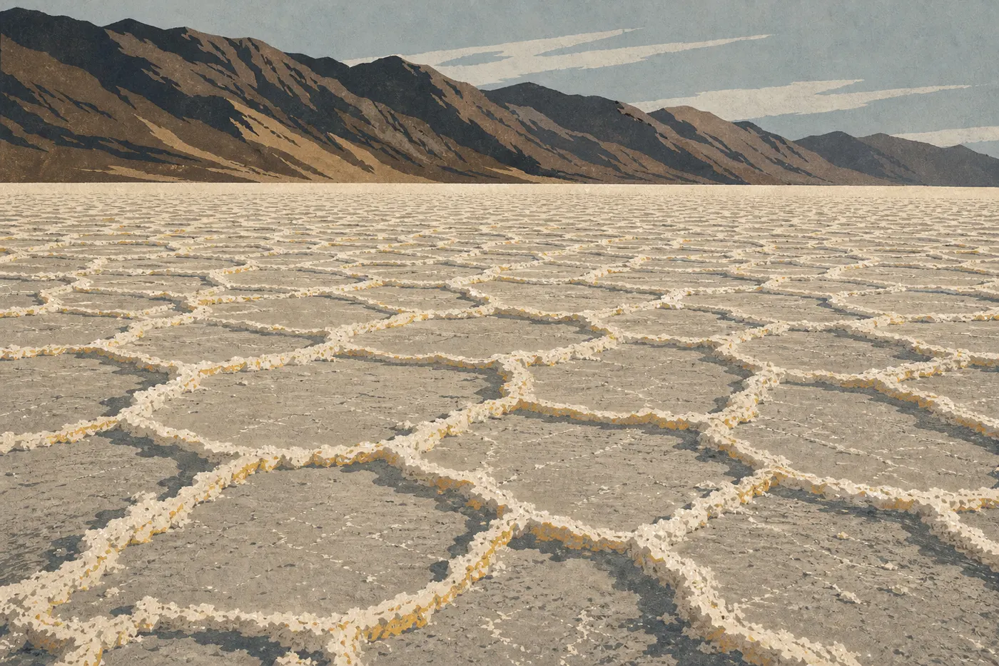
Badwater Basin is the lowest point in North America, 282 feet below sea level. You walk across a salt crust arranged in regular polygons, a crystallization pattern renewed after each rainfall. Allow 30 to 45 minutes to reach the larger polygons and return. Watch out in summer, when the ground can exceed 158°F. Closed-toe shoes are essential even for this short outing. On the cliff face opposite, a sign marks sea level, 282 feet above your feet.
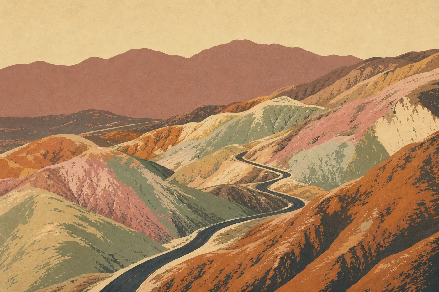
Artist's Drive is an 8.7-mile one-way loop from Badwater Road. Artists Palette is the highlight, a multicolored cliff in green, pink, purple, and yellow, colored by metal oxides in the volcanic rock. A dedicated parking area lets you leave your vehicle and walk closer. Vehicles longer than 20 feet, including RVs, are prohibited. If you're in an RV, leave it at the entrance to the loop and return with your rental car or a bicycle.
Devils Golf Course gets its name from a vast salt flat with crystals so sharp they tear through shoe soles. There is no marked trail, so you can walk freely among the white, translucent ridges. On hot, calm days, you can hear the crystals crack and collapse in the heat. It's an unexpected sound in this otherwise quiet environment.
Natural Bridge is reached from Badwater Road via a 2.5-mile unpaved road. The natural limestone arch is about 39 feet high, and a 15-minute walk from the parking area takes you to it. It's far less crowded than the main sights.
Stovepipe Wells Area: The Dunes and Mosaic Canyon
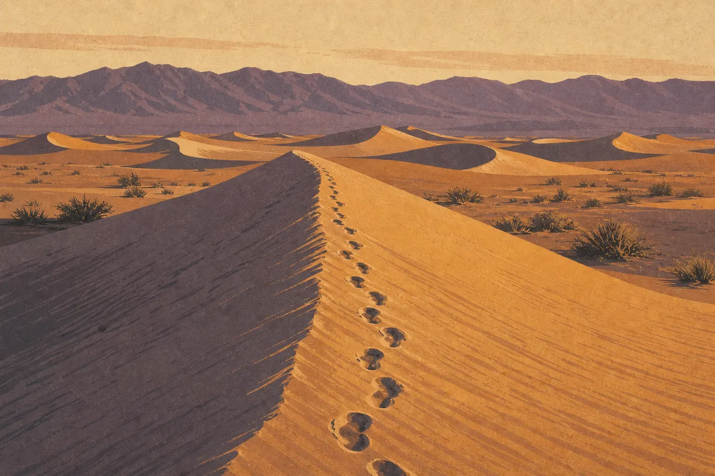
Mesquite Flat Sand Dunes are the park's only large dunes that are easy to reach on foot. The tallest rise about 100 feet. There is no marked trail, so you choose your own route. Sunrise and sunset are exceptional here, when the ridges draw precise shadow lines across the pale sand. At dawn, fresh tracks from foxes, coyotes, and rattlesnakes remain visible. In summer, come only early in the morning. The heat on the dunes is intense.
Mosaic Canyon lies just west of Stovepipe Wells, reached by a 2.5-mile road suitable for two-wheel-drive vehicles in dry weather. The trail enters a corridor of brecciated marble polished by flash floods, with sections where the walls narrow to less than 3 feet across. Plan on 1.2 to 2.5 miles, depending on how far you want to go, with no major technical difficulty. In the morning, the light reaches deep into the canyon.
Far North: Volcanic Crater, Legendary Road, and Abandoned Castle
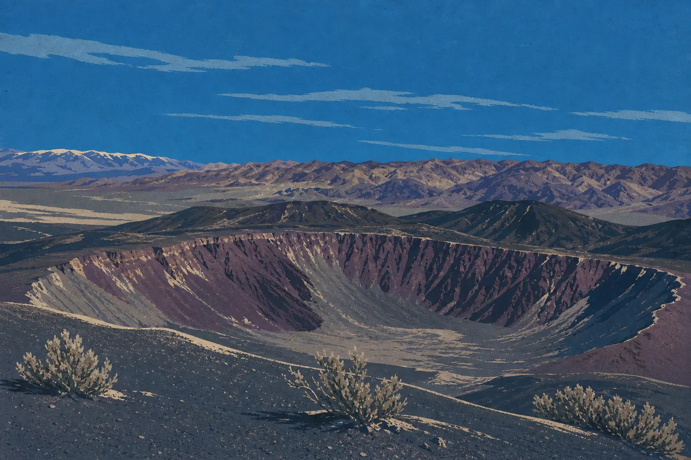
Ubehebe Crater is a volcanic crater 787 feet deep and 2,625 feet across, formed about 2,000 years ago by a phreatomagmatic explosion. A well-maintained 0.9-mile path circles it. The view down into the orange-and-black crater floor is striking. Allow 1 hr 15 min of driving from Furnace Creek to get there.
Scotty's Castle is an eccentric 1920s mansion built by a millionaire, Albert Johnson, for a charming con man, Walter Scott, also known as “Death Valley Scotty.” The building had been closed since the 2015 floods, and a partial reopening was underway. Be sure to check the NPS website for current progress before planning this detour, since the access road may also close depending on conditions.
Racetrack Playa is the park's most puzzling landscape. Stones weighing several pounds move across the clay surface on their own, leaving tracks that remain visible for years. Researchers solved the mystery in 2014. It involves thin sheets of nighttime ice that the wind pushes along in the early morning. To get there, drive 31 miles on an unpaved road from Ubehebe Crater, including rocky sections. An SUV with good ground clearance is essential. A true 4WD vehicle is preferable if you're not comfortable on this type of road. Arrive early, when the low-angle light makes the tracks easier to see.
Titus Canyon offers a 26-mile one-way road from Nevada, accessed via NV-374. The canyon gradually narrows into dramatic gorges. Recommended stops include the Native American petroglyphs carved into the rock and the ruins of Leadfield, an early-20th-century ghost town. In dry weather, the road is passable in a high-clearance two-wheel-drive vehicle. In wet weather, it closes because of the risk of flash flooding.
Death Valley's Best Hikes
The park has trails for every level. Easy options include Golden Canyon, a mostly flat 2.5-mile round trip, Natural Bridge, a 30-minute walk from the parking area, and the 0.9-mile Ubehebe Crater loop. Intermediate hikes include Mosaic Canyon, up to 2.5 miles, and the Darwin Falls trail, which leads to a waterfall in a green canyon west of the park. For a serious challenge outside the summer season, climb Telescope Peak, a 17.4-mile round trip with 5,600 feet of elevation gain from Mahogany Flat Campground.
Don't overlook this basic safety rule. Avoid hiking in the valley between 10 a.m. and 4 p.m. from May through October. The ground can exceed 158°F, and heatstroke can come on quickly, even for experienced hikers. Carry at least 1 liter of water per hour of planned exertion, wear a hat, and tell someone your route before you leave.
The Death Valley hiking guide covers every trail, including exact distance, elevation gain, difficulty, and the best time to go in each season.
Other Activities for Every Kind of Traveler
Wildlife Watching
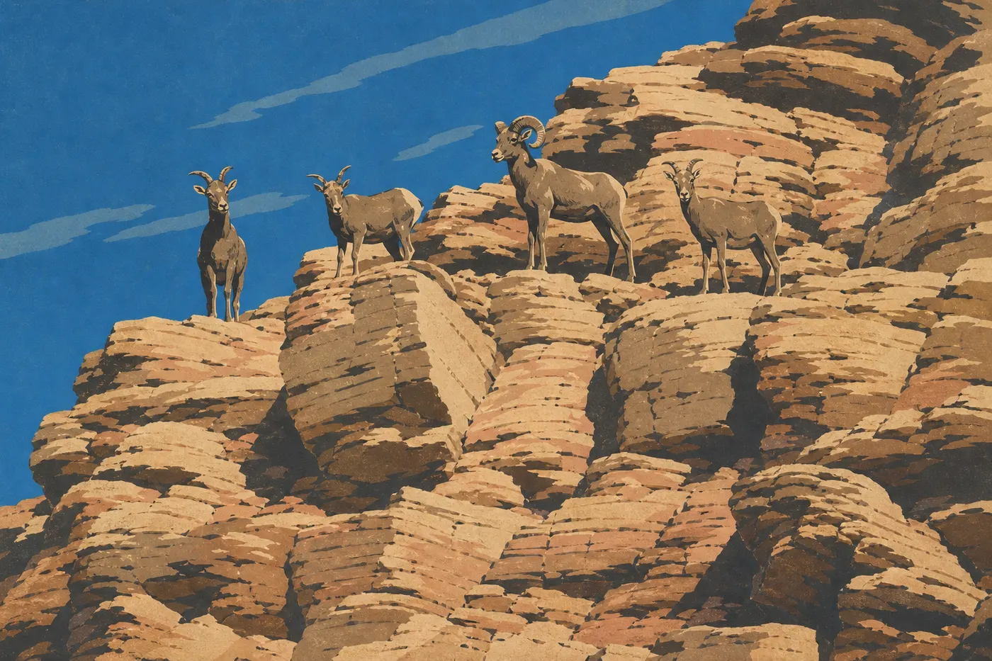
Death Valley is home to a discreet but varied wildlife population. Coyotes are the mammals you're most likely to see, often in the morning around campgrounds and picnic areas. Common Ravens are everywhere in the park. Reptile fans can easily spot zebra-tailed lizards on the hot roads.
The Saratoga Springs pupfish and Salt Creek pupfish live in isolated springs. They are remnants of the Quaternary wet period, when the region was covered by lakes. Watching these tiny fish in their harsh habitat is a unique experience. The Death Valley wildlife guide lists the park's signature species, along with the best conditions and places for spotting them.
Astrophotography and Night Sky Watching
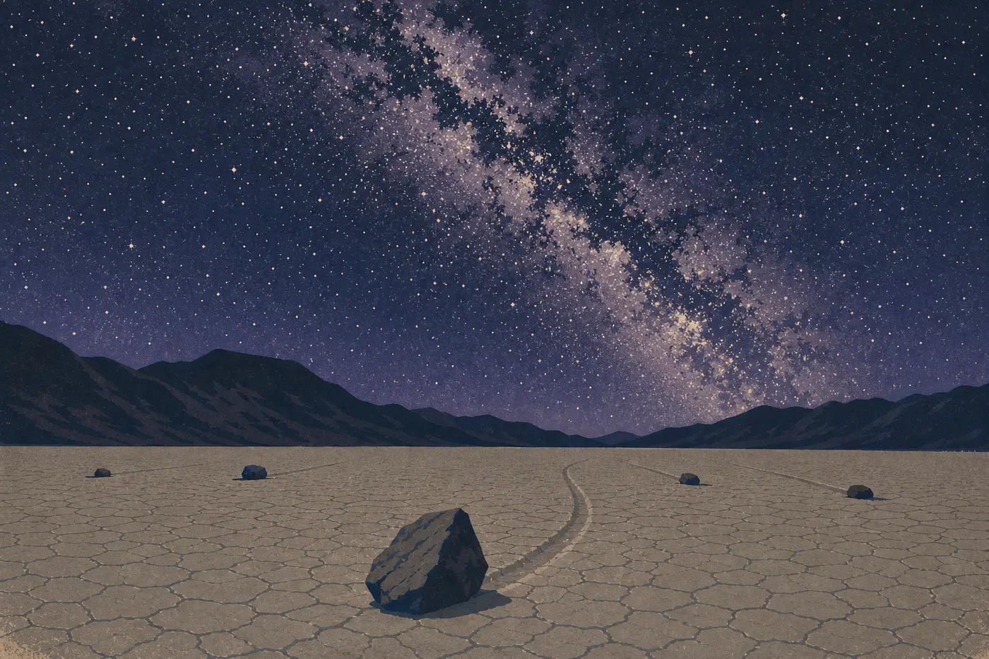
Death Valley is among the American national parks least affected by light pollution. On moonless nights, you can see the Milky Way with the naked eye from almost anywhere in the park. Mesquite Flat Sand Dunes, Badwater Basin, and Racetrack Playa are astrophotographers' favorite spots because of their open horizons and lack of stray light. Bring a sturdy tripod, and remember that nighttime temperatures can be chilly even in summer at some elevations.
Super Bloom: When the Desert Flowers
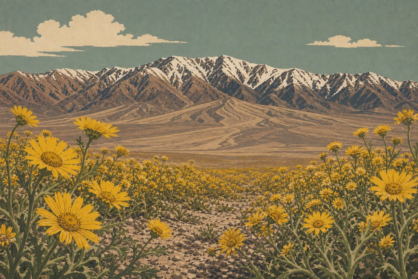
In spring, after a generous rainy season, wildflowers cover miles of desert. The phenomenon, known as a Super Bloom, remains unpredictable. Some years bring spectacular carpets of phacelia and desert poppies. In other years, the vegetation stays sparse. The favorable window generally runs from mid-February to mid-April. The park's official social media accounts and the NPS website publish real-time bloom updates as soon as the show begins to take shape.
Biking and Day Trips
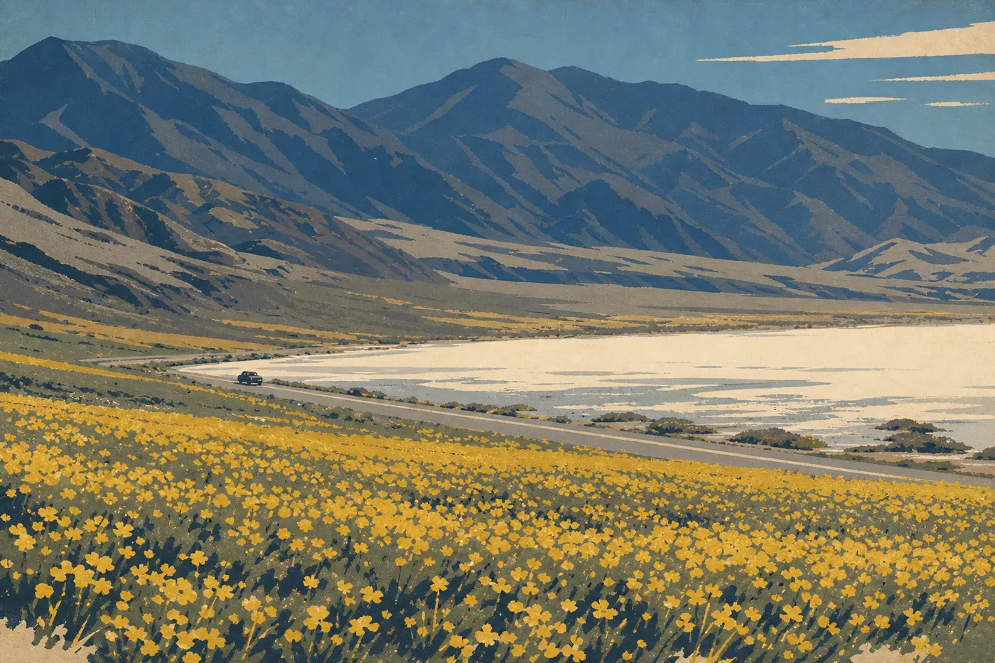
Road biking is allowed on all paved roads in the park. The loop around the valley, including Furnace Creek, Badwater Basin, and Artist's Drive, covers about 37 miles with little elevation gain, but it's only realistic in winter, from November through March. In summer, temperatures rule out any long bike ride in the valley. Mountain biking is allowed on certain clearly designated unpaved roads. Check the restrictions in person at the visitor center.
Visiting with Kids
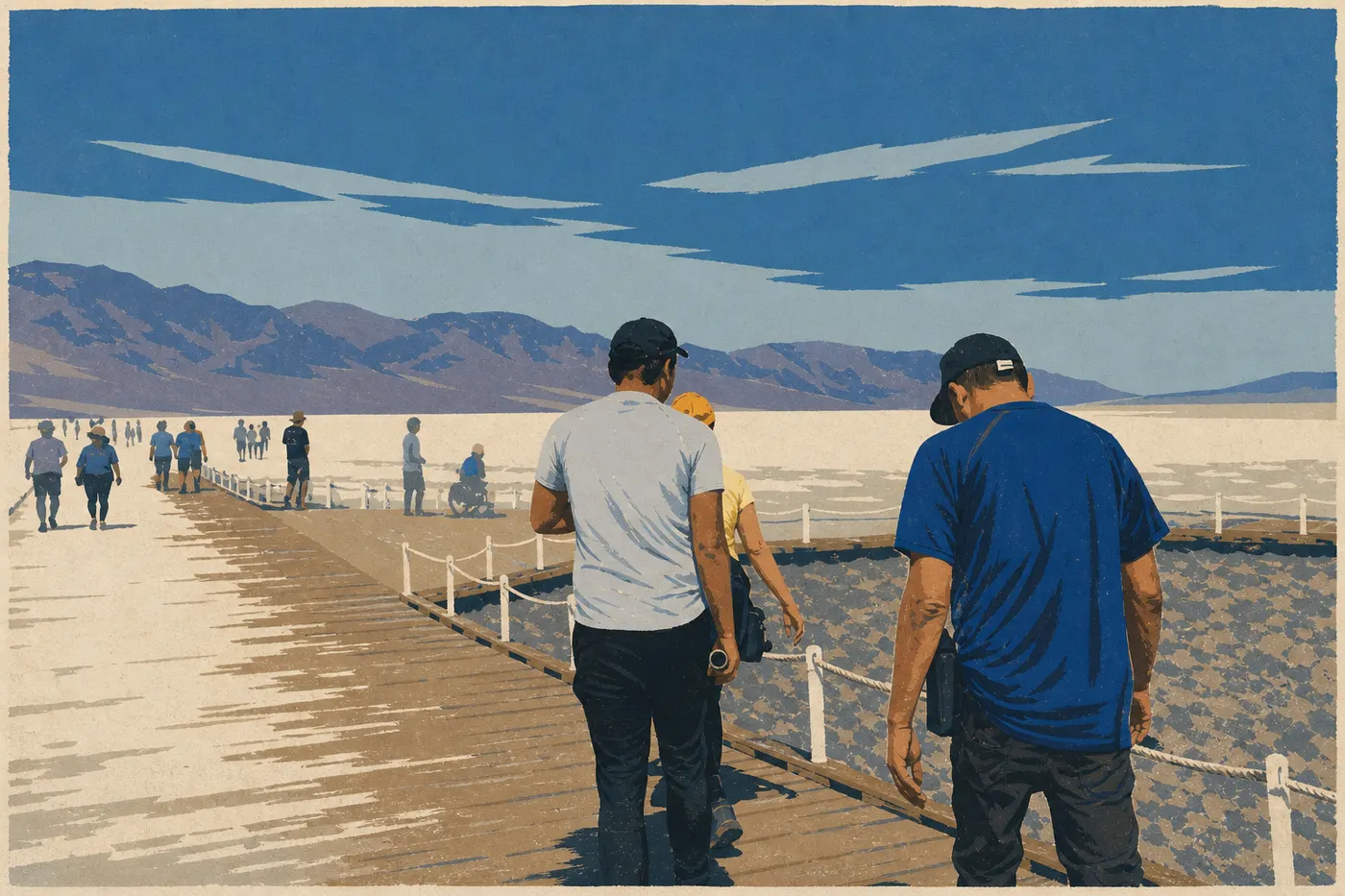
Death Valley is easy to visit with kids outside the summer season. Mesquite Flat Sand Dunes are ideal, with soft ground, plenty of freedom, and no required trail. Natural Bridge, a 15-minute walk with no elevation gain, Golden Canyon, which is flat and colorful, and the visitor center all work well with young children. The NPS Junior Ranger program, with an activity booklet available at the visitor center, keeps kids engaged throughout the visit. At the end, they receive an official badge. Our guide to visiting Death Valley with kids brings together practical advice, family-friendly sights, and safety precautions for families.
What to Do Around Death Valley
Las Vegas is the most common gateway, about a 2-hour drive via US-95 and NV-373 or NV-160, depending on which entrance you use. The city is also the logical base for overnight stays if you prefer not to sleep in the park, where lodging at Furnace Creek is limited and expensive.
Rhyolite is a ghost town 3 miles from the entrance to Beatty, Nevada, technically outside the park boundaries. The ruins of a concrete bank, a three-story hotel, and a train station bear witness to a brief mining boom in the early 20th century. The stop takes about 30 minutes and fits naturally into the drive from Las Vegas.
To the west, Lone Pine, California, is the gateway via US-395. The town is known for the Alabama Hills, a filming location for Hollywood westerns and the setting for an easy hike among rounded granite formations with Whitney Portal in the background.
To the south, Mojave National Preserve is about a 2-hour drive away. Wilder and less visited, the preserve has its own dunes, Kelso Dunes, and Joshua tree formations.
For routes from Death Valley that include other parks, the Road Trips and Regions sections offer guidance for planning these connections.
The Essentials: What to See First in Death Valley
If you've got just one day, three sites sum up the park: Badwater Basin for the valley floor and salt, Zabriskie Point for the light and badlands at sunrise or sunset, and Artist's Drive for the color. With two days, add Dantes View, Mesquite Flat Sand Dunes, and a hike in Golden Canyon or Mosaic Canyon. With three days or more, head into the far north for Ubehebe Crater, Titus Canyon, and, if you have the right vehicle, Racetrack Playa.
Death Valley rewards early risers. The light is better, the sites are less crowded, and the heat stays manageable until 10 a.m., even in midsummer. Plan your outings accordingly, and check the weather forecast every morning. Our Death Valley weather guide explains how the seasons work.
Frequently Asked Questions
What can you do and see in Death Valley?
Death Valley has about a dozen major sights spread across four geographic areas. In the center, there's Furnace Creek and its outdoor museums. To the east are Zabriskie Point and Dantes View. To the south are Badwater Basin, Artist's Drive, and Devils Golf Course. To the north are Mesquite Flat Sand Dunes, Ubehebe Crater, and Racetrack Playa. Activities range from hiking and astrophotography to scenic drives and wildlife watching.
How much time do you need to visit Death Valley?
Two full days are enough to cover the essential sights in the central valley: Badwater Basin, Zabriskie Point, Dantes View, Artist's Drive, and the dunes. A third day lets you reach the far north, including Ubehebe Crater, Racetrack Playa, and Titus Canyon, or take a longer hike. Our Itinerary & Duration guide offers detailed plans.
How many days do I need in Death Valley?
Three days is the right balance for visiting Death Valley without rushing. Spend two days on the highlights of the central valley and a third in the far north or on a serious hike. In one day from Las Vegas, you can see Badwater Basin, Artist's Drive, and sunset at Zabriskie Point, but the pace is tight.
Is Death Valley worth the trip?
Death Valley is absolutely worth the trip for its unique North American landscapes: endless salt flats, pale dunes beneath snow-capped peaks, multicolored canyons, and overlooks at 5,476 feet. This is a park that consistently surprises visitors who arrive expecting nothing more than a flat desert.
What are the must-do activities in Death Valley?
For a first visit, prioritize these Death Valley highlights: walk across the salt crust at Badwater Basin, watch sunrise at Zabriskie Point, drive Artist's Drive to Artists Palette, wander through Mesquite Flat Sand Dunes, and look out over the valley from Dantes View.
Which hike should I do in Death Valley?
The best Death Valley hike depends on your experience and the season. For beginners and families, choose Golden Canyon, a mostly flat 2.5-mile round trip, or Natural Bridge, a 30-minute walk. For an intermediate hike, try Mosaic Canyon or the Ubehebe Crater loop. For experienced hikers outside summer, climb Telescope Peak, a 17.4-mile round trip with 5,600 feet of elevation gain from Mahogany Flat Campground. Our Hiking page details every option.