
Death Valley Hiking: The Best Trails for Every Ability
Death Valley isn't just a desert you drive through from the comfort of your car. It's a genuinely diverse hiking landscape, with polished marble canyons, 100-foot dunes, salt flats 282 feet below sea level, and peaks rising above 9,800 feet. The one nonnegotiable? Pick the right season and never underestimate how much water you'll need.
If you only do one hike, make it Golden Canyon. It's a 3.0-mile round-trip through the colorful badlands along Badwater Road. The trail works for every ability, delivers striking scenery, and takes less than two hours. If you've got more time, add Mosaic Canyon (4.0 miles, with polished marble walls) and Mesquite Flat Sand Dunes for a full day on the trail.
Preparing for Your Death Valley Hike
Heat and Water: The Nonnegotiable Rule
Death Valley regularly sees temperatures above 122°F on the valley floor in summer. Hiking is practically impossible from mid-May through September, except before sunrise on short, shady trails. The sensible hiking season runs from November through April.
The NPS recommends carrying at least 1 liter of water per hour of exertion, and more when temperatures climb above 86°F. Bring more than you calculate you'll need. A twisted ankle or an unexpected detour can quickly turn a water shortage into a medical emergency. You can restock at Furnace Creek and Stovepipe Wells. There is nothing to refill on the trails.
Permits, Fees, and Basic Rules
You don't need a permit for day hikes in Death Valley. Park entry costs $30 per vehicle and is valid for 7 days. The annual Death Valley pass costs $55. Dispersed camping outside developed areas is allowed more than 1 mile from roads and busy areas, with no ground fires.
Dogs on the Trails
Dogs aren't allowed on any unpaved trails. They're allowed on paved roads and in campgrounds, but they must be leashed to a maximum length of 6 feet. Outside the coldest months, the heat is a serious risk for animals anyway.
Wildlife and Natural Hazards
Watch where you put your hands among the rocks. Rattlesnakes live throughout the park and become active in spring. If you're bitten, don't run. Stay calm and get to a vehicle quickly so you can reach medical care. Scorpions are common in rocky areas. If you're camping, shake out your shoes before putting them on in the morning.
The Best Hikes, Area by Area
Furnace Creek and Badwater Road
This is the heart of the park, with the highest concentration of trailheads and the area most visitors explore first.
Golden Canyon · 3.0 miles round-trip · 295 feet of elevation gain · 1.5 to 2 hours · easy to moderate · out-and-back
The trail follows a dry canyon between golden and brick-red walls to Red Cathedral, a 295-foot cliff whose colors shift with the daylight. The footing is stable and the route is intuitive. There is no shade, so start at dawn or late afternoon. Trailhead: Golden Canyon parking area on Badwater Road, 3 miles south of Furnace Creek.
Natural Bridge · 2.0 miles round-trip · 295 feet of elevation gain · 1 to 1.5 hours · easy · out-and-back
A natural rock bridge more than 50 feet high spans the canyon halfway along the route. The dry wash naturally leads you to the arch. This trail gets less traffic than Golden Canyon and is often cooler in the early morning. Trailhead: Natural Bridge parking area, 6 miles south of Furnace Creek, reached by a short dirt road suitable for cars.
Badwater Basin Walk · 2 to 4 miles, as far as you like · flat · very easy
This is technically a walk rather than a marked trail. Head out across the salt flats 282 feet below sea level as far as you want, then turn around. The crowds thin out quickly after the first few hundred yards, leaving you alone on a silent expanse of pure salt. There is no shade at all, so avoid it from 10 a.m. to 4 p.m. outside the cool season. Trailhead: Badwater parking area, 17 miles south of Furnace Creek.
Salt Creek Interpretive Trail · 0.7 mile · flat · very easy · loop
A wooden boardwalk follows Salt Creek to its end. This is the only habitat of the Salt Creek pupfish (Cyprinodon salinus), a species endemic to this one waterway. The fish are easiest to spot from February through April. For more of Death Valley's notable wildlife, see the Death Valley wildlife guide. Trailhead: Route 190, 11 miles north of Furnace Creek.
Stovepipe Wells and Mesquite Flat Sand Dunes
Mesquite Flat Sand Dunes · 0.6 to 2.5 miles, as far as you like · variable elevation gain · easy to moderate
There is no marked trail, so walk wherever you like. The dunes reach 100 feet high in the middle of the field, and climbing the ridges takes real effort in loose sand. Sunrise and sunset light casts dramatic shadows across the ripples. You can spend 30 minutes here or lose yourself for two hours, depending on your mood. Trailhead: Dunes parking area on Route 190, between Stovepipe Wells and Furnace Creek.
Mosaic Canyon · 4.0 miles round-trip · 590 feet of elevation gain · 2 to 3 hours · moderate · out-and-back
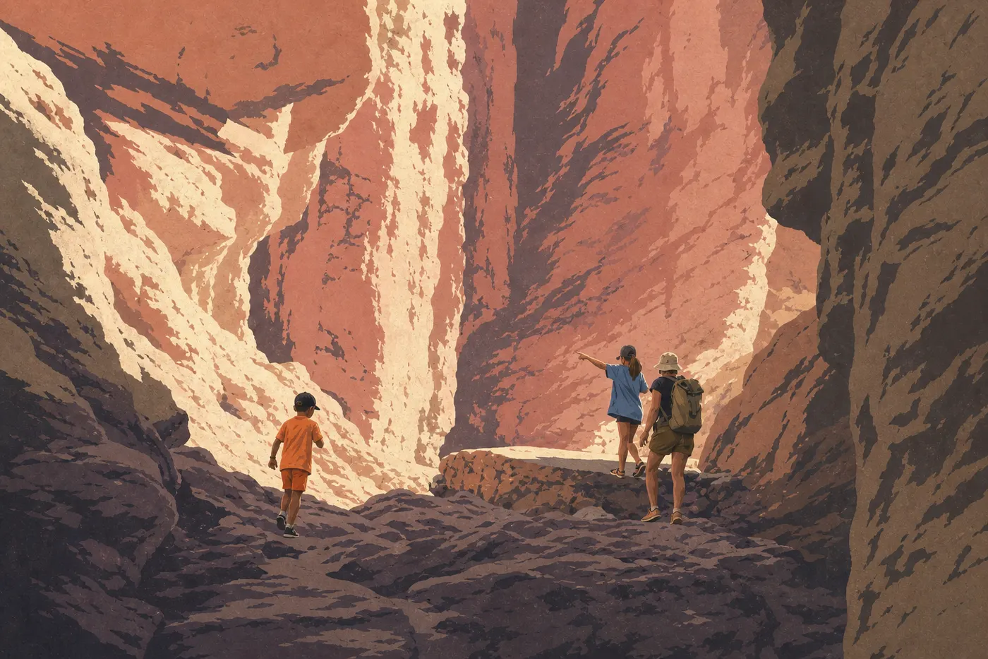
The polished mosaic dolomite walls lining this canyon are reason enough to make the detour. The route follows the canyon floor, with a few short rocky sections that require scrambling, to narrower, darker upper narrows. It's the most photogenic route in the northern part of the park. Trailhead: Mosaic Canyon parking area, 2.2 miles west of Stovepipe Wells via a dirt road suitable for cars in dry weather.
Northern Area: Ubehebe Crater
Ubehebe Crater Loop · 1.5 miles · 295 feet of elevation gain · 45 minutes to 1 hour · easy to moderate · loop
Ubehebe Crater is about half a mile wide and 656 feet deep. Follow the rim for sweeping views down into the dark crater and across ocher and rust-colored walls. Winds can be fierce along the rim. Trailhead: Ubehebe Crater parking area, 34 miles north of Furnace Creek.
Western Area: Darwin Falls and Wildrose
Darwin Falls · 2.0 miles round-trip · 295 feet of elevation gain · 1 hour 15 minutes to 1 hour 45 minutes · easy · out-and-back
This is the only waterfall you can reach on foot in the park, and one of the few permanent water sources. The trail climbs a narrow canyon lined with reeds and willows, with songbirds in the background, to a waterfall about 33 feet high. The contrast with the surrounding desert is striking. Access: 1.9 miles of dirt road from Route 190, west of Panamint Springs, suitable for a standard vehicle in dry weather.
Telescope Peak · 14 miles round-trip · 5,580 feet of elevation gain · 8 to 10 hours · difficult · out-and-back
The park's highest point, at 11,050 feet, rises from Mahogany Flat Campground at 6,890 feet through forests of juniper and bristlecone pine. The summit looks out over Badwater Basin, 11,330 feet below. Crampons and an ice axe may be necessary in winter. Trailhead: Mahogany Flat Campground, reached via the Wildrose Road, with four-wheel drive recommended. This hike is for experienced, well-equipped hikers who start at dawn.
Easy, Family-Friendly Hikes
Three trails work without reservation for kids and beginners.
The Salt Creek Interpretive Trail (0.7 mile, flat, boardwalk) is the safest choice, with stable footing, aquatic wildlife viewing, and a fully marked route. It works well for kids as young as 3 or 4.
The Mesquite Flat Sand Dunes have no fixed distance. Walk as far as you like, then turn around. Half an hour is enough for a first look, while two hours lets you reach the main ridges.
Badwater Basin is easy in regular walking shoes for the first few miles. Bring full sun protection and head back before the heat rises.
One tip applies to every family outing: carry far more water than you think you'll need, and turn around as soon as the kids show the first signs of fatigue or overheating.
Challenging Hikes and Big Views
Two routes stand out for hikers who are comfortable with elevation gain.
Mosaic Canyon in full can be extended to 5 miles round-trip by exploring the upper narrows beyond the standard sightseeing section. This becomes a true scramble, with sections that require getting on your knees, using your hands on the rock, and moving slowly, but the experience is deeply immersive.
Telescope Peak is a full-day project in the park. The route crosses three distinct vegetation zones before opening onto a 360-degree panorama from the roof of the desert. Check snow conditions before setting out. The NPS posts updated access bulletins on its website.
If you want an exceptional view without a major physical effort, note that Dantes View, at 6,780 feet, is reachable by car all the way to the overlook. It offers the park's broadest downward view.
Access, Trailheads, and Parking
The vast majority of trailheads are accessible by regular passenger car. There are a few notable exceptions.
Mosaic Canyon and Darwin Falls: compacted dirt roads that are passable in dry weather in a standard vehicle, but not recommended after rain.
Mahogany Flat for Telescope Peak: the Wildrose Road, with four-wheel drive recommended in winter conditions.
The Badwater Basin and Golden Canyon parking areas fill up between 9 a.m. and 3 p.m. from February through April. Arrive before 8 a.m. or after 4 p.m. to find a spot without waiting. There is no shuttle between areas of the park, so you'll need a vehicle to cover the 34 miles between Furnace Creek and Ubehebe Crater.
Park entrances, distances between areas, and options for travelers without their own car are covered in the Death Valley access guide.
When Should You Hike in Death Valley?
The best hiking window runs from November through April.
Fall, from October through November, brings low-angle light that's ideal for canyon photography. Winter, from December through February, is the most comfortable season in the valley, with mild daytime temperatures and cool nights. Telescope Peak may be snow-covered then. Spring, from March through April, is the busiest season, with perfect hiking conditions and, in some years, a superbloom of wildflowers after generous winter rains.
Summer, from May through September, is off-limits for hiking on the valley floor. High-elevation trails remain doable early in the morning for prepared hikers, but not for an improvised outing.
The Death Valley seasonal calendar describes conditions month by month, including temperatures, crowds, and natural events to anticipate.
Which Hike Fits Your Plans?
You only have half a day: Golden Canyon (3.0 miles, easy to moderate) gives you the best overview of the park in the least amount of time.
You're visiting with young kids: choose Salt Creek for the little ones and the Mesquite Flat Sand Dunes for kids ages 5 or 6 and up.
You love landscape photography: visit the Mesquite Flat Sand Dunes at sunrise, then Golden Canyon in the late-afternoon light.
You want something unexpected: Darwin Falls and its lush gallery vegetation are always a surprise in this desert setting.
You're planning a big hiking day: choose Telescope Peak, and plan ahead by checking the weather and access conditions on the road.
Our complete Death Valley guide covers the entire park and points you to all the practical information.
Frequently Asked Questions
What's the hardest hike in Death Valley?
The hardest hike in Death Valley is Telescope Peak (14 miles round-trip, 5,580 feet of elevation gain, with an 11,050-foot summit). It requires good fitness, appropriate winter gear, and a full day on the trail.
How long does it take to cross Death Valley on foot?
Crossing Death Valley in its entirety on foot isn't a standard hike. It's a multiday expedition in extreme conditions. The park's marked trails range from 0.7 mile (Salt Creek) to 14 miles (Telescope Peak).
Is hiking in Death Valley difficult?
The difficulty at Death Valley depends on the trail you choose. Golden Canyon and Salt Creek work for beginners. Mosaic Canyon is moderate. Telescope Peak is a demanding mountain hike. Heat is the common difficulty factor on every route outside the cool season.
Is it safe to hike in Death Valley?
Hiking in Death Valley is safe from November through April if you take hydration seriously, carrying at least 1 liter per hour, wear full sun protection, and tell someone your route. In summer, the valley heat can be fatal within a few hours.
Do you need a permit to hike in Death Valley?
You don't need a permit for day hikes in Death Valley. The only fee is park entry, which costs $30 per vehicle and is valid for 7 days.
Can you hike with your dog in Death Valley?
Dogs aren't allowed on unpaved trails in Death Valley. They're allowed on paved roads and in campgrounds, on leash. The heat is a serious risk for animals outside the winter season anyway.
Are there loop hikes in Death Valley?
Yes. The Ubehebe Crater Loop (1.5 miles) and the Salt Creek Interpretive Trail (0.7 mile) are complete loops. Most of the park's other trails are out-and-back routes.
What's the best time to hike in Death Valley?
The best time to hike in Death Valley is from November through April. Our When to Go guide breaks down conditions month by month.