
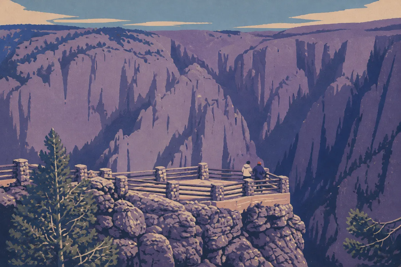
Hiking in Black Canyon of the Gunnison: The Best Trails for Every Skill Level
Black Canyon of the Gunnison can be disorienting at first glance. Sheer walls plunge as much as 2,700 feet, the canyon floor can narrow to barely 40 feet, and marked trails stop right at the edge. This isn't Zion, and it isn't the Grand Canyon. The hiking options are limited, but every outing makes an impression.
If you only do one hike, make it Oak Flat Loop (2.0 miles, moderate, South Rim). It's the only marked trail that actually descends into the canyon, with dramatic views of the Gunnison River from schist walls 1.8 billion years old. Plan on 1.5 hours, with no surprises. For distant views and solitude, North Vista Trail to Exclamation Point (3.0 miles round-trip, North Rim) is the obvious alternative. For a more demanding experience, the off-trail routes into the inner gorge are for experienced hikers and require a permit.
Get Ready for Your Hike in Black Canyon of the Gunnison
Permits
The marked trails on both rims don't require a day-use permit. Any descent into the inner gorge, however, requires a free wilderness permit, issued at the South Rim Visitor Center or the North Rim ranger station. The permit is issued to a named individual and includes safety information specific to your chosen route.
Safety: What to Know Before You Go
- Vertigo and falls. Many overlooks have no guardrails. Stay in marked areas and watch children closely near the edges at all times.
- Exposed terrain. Rock can be slippery after rain or in the morning dew. Wear shoes with aggressive tread.
- Summer thunderstorms. Afternoon storms can build quickly over the plateau from June through August. Start before 7:30 a.m. and head back down before 1 p.m.
- Heat. Daytime temperatures on the rims can reach 90°F in summer. Bring at least 2 liters of water per person for a half-day hike, and 3 liters for a longer outing.
- Inner gorge. The descent routes include slopes steeper than 60°. Some sections of the Gunnison Route require a rope and basic climbing skills. Don't attempt them on a whim.
Wildlife
Black bears, mule deer, and birds of prey such as peregrine falcons and golden eagles live in the park. If you encounter a bear, stay calm, don't run, speak firmly, and slowly back away while making yourself look larger. Store food in airtight containers.
Dogs
Dogs aren't allowed on trails, including rim trails and the access routes into the inner gorge. They're permitted on a leash along paved roads and in campgrounds. Arrange care for your dog if you're traveling with one.
Water
There are no drinking-water sources along the trails. Fill your water bottles at the South Rim Visitor Center or in the North Rim Campground parking area before setting out.
The Best Hikes, Area by Area
The park is divided into three areas: the South Rim, which is the most accessible and open year-round; the North Rim, which closes from mid-November to early May and is wilder and less visited; and the inner gorge, where off-trail routes require expert skills.
South Rim: Classic Trails Along the Edge
- Distance
- 2.0 miles
- Elevation gain
- about 400 feet
- Duration
- 1 hr 15 min to 1 hr 45 min
- Difficulty
- moderate
- Type
- loop
The park's signature hike is also the only marked loop that descends partway into the canyon. The trail starts at the South Rim Visitor Center and passes through scrub oak before opening onto several dramatic views of the Gunnison River and dark gneiss walls. The descent is gradual, and the trail is well defined. Start as soon as the area opens. The early morning light on the black walls is worth getting up for.
Trailhead: South Rim Visitor Center parking area.
- Distance
- 1.5 miles
- Elevation gain
- minimal elevation gain
- Duration
- 45 min to 1 hr
- Difficulty
- easy to moderate
- Type
- out-and-back
Starting at High Point, the highest point on the South Rim, this short trail follows the canyon edge to an open promontory overlooking the Gunnison Valley and the peaks of the Cimarron Range. You'll get a 180-degree view and very few people late in the day. It's ideal for the evening golden hour.
Trailhead: High Point parking area, at the end of South Rim Drive.
- Distance
- about 1.0 mile
- Elevation gain
- negligible elevation gain
- Duration
- 30 min
- Difficulty
- easy
- Type
- one way
This partly paved trail connects the South Rim Visitor Center with Gunnison Point. Geological interpretation panels line the route, and several developed overlooks offer views into the canyon. Strollers can manage most of the trail. It's a great introduction to the park and works well for visitors with limited mobility.
Trailhead: South Rim Visitor Center parking area.
- Distance
- about 0.9 mile
- Elevation gain
- slight elevation gain
- Duration
- 30 min
- Difficulty
- easy
- Type
- out-and-back
This short trail leads to Cedar Point, a rocky spur suspended above the canyon with a striking vertical view of several hundred feet of wall. The route is clearly marked and the ground is stable. It's very accessible, but the final overlook has no guardrail, so keep children within arm's reach.
Trailhead: Cedar Point parking area on South Rim Drive.
North Rim: Solitude and Views of the Entire Canyon
The North Rim draws only a fraction of the visitors who come to the South Rim. Trails start near North Rim Campground, in typical Colorado Plateau pinyon-juniper country.
- Distance
- 3.0 miles
- Elevation gain
- about 300 feet
- Duration
- 1.5 to 2 hours
- Difficulty
- moderate
- Type
- out-and-back
The trail passes through a conifer forest before reaching Exclamation Point, the park's most open overlook. From here, you can see the canyon in its full length, the opposite walls, and, on a clear day, the 13,100-foot peaks of the San Juan Mountains in the background. It's hard to find a panorama this outsized at the end of such a short hike.
Trailhead: North Rim Campground parking area.
More demanding option: The same trail continues to the summit of Green Mountain (7.0 miles round-trip, about 1,000 feet of cumulative elevation gain). Allow a full half-day. You'll get 360-degree views across the plateau without the crowds of the South Rim.
- Distance
- 5.0 miles
- Elevation gain
- slight elevation gain
- Duration
- 2 to 2.5 hours
- Difficulty
- easy
- Type
- out-and-back
This long but nontechnical trail follows an old cattle track toward an abandoned ranch. The terrain is flat, and there are few direct views of the canyon, but it has a wild plateau atmosphere you won't find on the South Rim. It's a good choice if you want to stretch your legs without a difficult hike.
Trailhead: same as North Vista Trail.
Inner Gorge: Expert Terrain, Permit Required
The access routes to the canyon floor aren't trails. They're unmarked off-trail routes over exposed, schist-covered terrain. On the South Rim, they include Gunnison Route, Warner Route, and S.O.B. Draw. On the North Rim, they include Long Draw, Slide Draw, and Red Rock Canyon.
Gunnison Route on the South Rim is the most popular. When you reach the bottom of the gorge, the first thing that strikes you is the sudden disappearance of the plateau's silence, replaced by the river roaring between walls so tall that you can see the sky only by looking straight up. It's hard to compare the experience with anything else.
You must have a free permit from the visitor center, wear shoes with aggressive tread, and bring a rope for an exposed section of Gunnison Route. Always tell someone your route and expected return time.
Easy and Family-Friendly Hikes
For families with young children, two South Rim trails stand out.
Rim Rock Trail is the most inclusive option. It's short and partly paved, with views impressive enough to make a lasting impression. The geological interpretation panels give curious kids plenty to explore. Pair it with a visit to the South Rim Visitor Center to pick up Junior Ranger program materials.
Cedar Point Nature Trail works for kids who can walk for 30 minutes without stopping. The final overlook above the drop-off delivers the expected wow factor. Keep a close eye on children along the unguarded edge.
With children, it's best to hike in the morning, before the heat and afternoon thunderstorms arrive. The guide to family activities in Black Canyon of the Gunnison covers activities for all age groups.
Challenging Day Hikes
North Vista Trail to Green Mountain (7.0 miles round-trip, 1,000 feet of elevation gain) is the most strenuous hike you can do without a permit. The final climb to the summit is exposed but doesn't require technical skills. Plan on spending 4 to 5 hours on the trail, and bring plenty of water and sturdy hiking boots.
For those looking for an experience unlike any other, descending into the inner gorge via Gunnison Route on the South Rim is a full day of serious effort. The Gunnison River at the bottom also offers well-known whitewater fly-fishing spots. Ask at the South Rim Visitor Center about the specific fishing regulations, including catch-and-release rules in some areas.
Access, Trailheads, and Parking
South Rim (main access): From US-50 east of Montrose, take CO-347 north for about 7 miles to the park entrance. The South Rim Visitor Center is the trailhead for Oak Flat Loop and Rim Rock Trail. South Rim Drive is one-way eastbound and then serves the Cedar Point and High Point parking areas for Warner Point Nature Trail.
North Rim: From Crawford, take CO-92 southwest, then turn west at the signed junction. The route includes about 11 miles of unpaved road, suitable for a standard car during a dry summer. The road closes from mid-November to early May.
Parking: South Rim parking areas can fill up on July and August weekends between 10 a.m. and 4 p.m. Arrive before 8:30 a.m. The park doesn't operate a shuttle.
Entrance fees: $30 per vehicle, valid for 7 days, or $15 per person entering on foot or by bicycle. The America the Beautiful pass ($80 per year) covers admission. The Fees and Passes page explains entrance fees and national passes.
When Should You Hike in Black Canyon of the Gunnison?
In short, plan on May through October for the South Rim and June through September for the North Rim. In winter, the South Rim remains open to snowshoers and winter hikers, with nighttime temperatures that can drop to 10°F. Summer conditions mean dealing with heat and afternoon thunderstorms. Spring, from May through June, and fall, from September through October, offer the most comfortable conditions and fewer visitors.
For month-by-month conditions and peak visitation periods in Black Canyon of the Gunnison, see the When to Visit guide.
Which Hike Fits Your Profile?
| Profile | Recommended trail | Duration |
|---|---|---|
| First visit, limited time | Oak Flat Loop (South Rim) | 1.5 hours |
| Family with children | Rim Rock Trail + Cedar Point | 1 hour |
| Views and solitude | North Vista Trail, Exclamation Point (North Rim) | 2 hours |
| Challenging half-day | North Vista Trail, Green Mountain (North Rim) | 4 to 5 hours |
| Full day of adventure | Gunnison Route, inner gorge (permit required) | full day |
| Photography, wildlife | Oak Flat Loop early in the morning | 1.5 hours |
To plan your trip around your hikes, see our complete guide to Black Canyon of the Gunnison and the Black Canyon of the Gunnison itinerary guide to figure out how much time to spend in the park.
Frequently Asked Questions
What's the best hike in Black Canyon of the Gunnison?
The best hike in Black Canyon of the Gunnison is Oak Flat Loop (2.0 miles, moderate, South Rim). It's the only marked trail that descends partway into the canyon and offers direct views of the Gunnison River. For views along the canyon's entire length, North Vista Trail to Exclamation Point on the North Rim is the most compelling alternative.
Is hiking in Black Canyon of the Gunnison difficult?
Hiking is accessible on the marked trails along both rims, which range from easy to moderate. Descents into the inner gorge are expert-level off-trail routes, with slopes steeper than 60° and, on some access routes, the need for a rope.
Is it safe to hike in Black Canyon of the Gunnison?
Hiking is safe on marked trails as long as you start early to avoid summer afternoon thunderstorms, stay away from unprotected edges, and carry enough water. The inner gorge has serious hazards from unmarked terrain and steep slopes.
Do I need a permit to hike in Black Canyon of the Gunnison?
No permit is required for day hikes on the marked trails along either rim. A free permit is mandatory for any descent into the inner gorge. Get one at the South Rim Visitor Center or the North Rim ranger station.
Are there easy or family-friendly hikes in Black Canyon of the Gunnison?
Several easy hikes in Black Canyon of the Gunnison work well for families. Rim Rock Trail (1.0 mile, partly paved) and Cedar Point Nature Trail (0.9 mile round-trip) are suitable for children. Hike in the morning to avoid the heat and afternoon thunderstorms.
Can I hike with my dog in Black Canyon of the Gunnison?
Dogs aren't allowed on park trails or in the inner gorge. They're permitted on a leash along paved roads and in campgrounds.
When is the best time to hike in Black Canyon of the Gunnison?
The best time to hike in Black Canyon of the Gunnison is May through October on the South Rim and June through September on the North Rim, whose road closes in winter. Our When to Visit page provides month-by-month conditions.
Are there loop hikes in Black Canyon of the Gunnison?
Oak Flat Loop (2.0 miles, South Rim) is the park's main marked loop hike. The other trails are out-and-back routes. The inner gorge's off-trail routes can form loops, but they're strictly for experienced hikers with a permit.
How do I reach the trailheads and parking areas?
The main access point is the South Rim Visitor Center, 7 miles from US-50 via CO-347. South Rim Drive then serves Cedar Point and High Point. Reach the North Rim from Crawford via CO-92 and 11 miles of unpaved road. There is no shuttle. Parking areas fill on summer weekends, so arrive before 8:30 a.m.
Which trails offer the best views or wildlife watching?
For views, North Vista Trail to Exclamation Point on the North Rim is the park's most open route. For wildlife such as peregrine falcons, golden eagles, and mule deer, the early morning hours on Oak Flat Loop offer the best viewing conditions.