
Black Canyon of the Gunnison Itinerary: What to See in 1, 2, or 3 Days
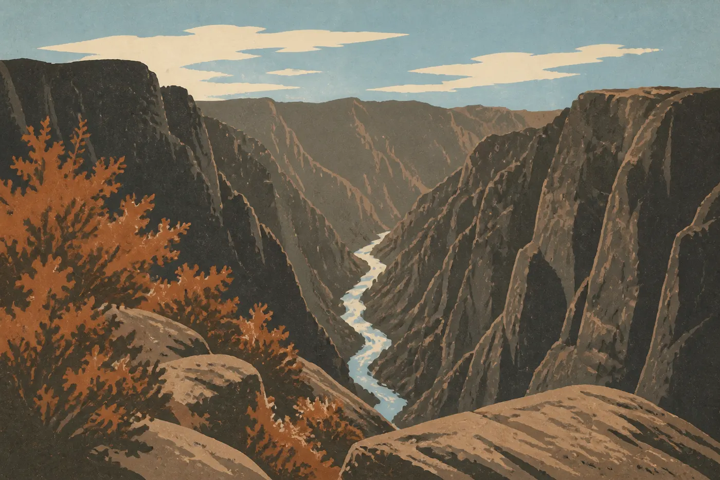
Dark, narrow, and dizzying. Black Canyon of the Gunnison isn't a park you can skim in two hours. Its cliffs plunge as much as 2,690 feet below your feet, while the Gunnison River roars far below, invisible from some overlooks. One day is enough to explore the South Rim and leave with unforgettable images. Two days let you add the North Rim, which has a completely different atmosphere. Three days open the way to the inner canyon, reserved for experienced hikers with the right gear. The route is straightforward: start on the South Rim, where access is easy and infrastructure is complete, move to the isolated, rugged North Rim, and, if time and energy allow, descend toward the river.
How Much Time Do You Need to Visit Black Canyon of the Gunnison?
One day is the bare minimum. Drive South Rim Road, stop at the main overlooks, and head back with your mind full of views. It's short, but the park is compact and the viewpoints follow one another without much downtime.
Two days is our comfortable recommendation. Take time for the Oak Flat Loop on day one, spend the night in Montrose or at South Rim Campground, and devote day two to the North Rim without rushing.
Three days or more make sense if you want to descend into the inner canyon. It's an extraordinary experience that calls for good physical fitness, suitable gear, and serious planning. The descent isn't marked, and it crosses loose rock and dense vegetation.
Here's one detail that captures the character of this place. At its narrowest point, the canyon gets only 33 minutes of direct sunlight each day. The light changes from hour to hour in these gorges, and the morning atmosphere is nothing like the evening atmosphere. That alone makes spending at least one night here worthwhile.
Access, Entrances, and Getting Around the Park
You can visit Black Canyon of the Gunnison through two separate entrances, with no internal road connecting them. To get from one rim to the other, you have to go around the canyon on the roads outside the park.
South Rim, the main entrance. From Montrose, Colorado, take US-50 east, then turn north onto CO-347. The visitor center is about 7 miles from that junction. This is the easiest entrance to reach. It's open 24 hours a day year-round, with a visitor center, developed campgrounds, and fully paved South Rim Road.
North Rim, the secondary entrance. From Crawford, Colorado, take CO-92 west, then follow the signs for North Rim for about 11 miles, including a stretch on gravel road. North Rim Road and the ranger station generally close in mid-November and reopen in early May. Be sure to check current conditions before you leave, especially during the shoulder seasons.
Getting around the park. There is no shuttle. You need a car. Each rim has its own scenic road, and no internal connection links them. For the overlooks, plan on short 5- to 15-minute walks from the parking areas, with no particular physical effort required.
The Black Canyon of the Gunnison access guide covers options from Denver, Grand Junction, and Gunnison, along with winter road conditions.
The Areas of Black Canyon of the Gunnison
The park divides into three distinct areas, each with its own way of exploring it.
South Rim
This is the go-to area for a first visit. South Rim Road runs about 9.3 miles round-trip to High Point along the canyon edge and serves a dozen overlooks that are accessible on foot from parking areas. The most memorable include the following.
Gunnison Point delivers the first visual shock as soon as you leave the visitor center. Painted Wall View looks out over Painted Wall, Colorado's tallest cliff, with 2,251 feet of dark rock streaked with white pegmatite veins. High Point, at the end of the road and an elevation of 8,465 feet, offers one of the broadest views across the entire canyon.
Two marked trails start on the South Rim. The Oak Flat Loop is 2 miles long and takes about 1 hour 15 minutes. It drops 360 feet below the rim through a Gambel oak forest, with side views of the canyon walls. The Rim Rock Trail is a flat 1-mile round-trip walk for all ability levels, with interpretive signs about the site's geology.
North Rim
Less visited and wilder, the North Rim is often called the hidden side of Black Canyon. North Rim Road, which is partly unpaved, leads to a series of overlooks facing the South Rim. You see the same canyon from the opposite edge, with new angles and different light depending on the time of day.
Kneeling Camel View and Balanced Rock View are among the most spectacular overlooks on this rim. North Rim Campground has about 15 sites and no running water. The atmosphere is very different from the main campground on the south side.
Only one marked trail starts in this area. The North Vista Trail is a 4.5-mile round-trip hike that climbs to the summit of Green Mountain, at 9,000 feet, with open views of the Elk Mountains in good weather.
The Inner Canyon
Descending to the Gunnison River isn't a decision to take lightly. The three descent routes, Gunnison Route, Warner Route, and East Portal Road, are unmarked and have no cables or other equipment. They cross slopes covered with loose rock and Gambel oak. Elevation gain and loss ranges from 1,840 to 2,395 feet, depending on the route.
A free self-issued permit is required. Pick it up at the South Rim visitor center before you set out. Bring at least 2 liters of water per person, hand protection, and high-top shoes with good traction. The Gunnison River is rated Class IV-V. Do not try to cross it.
There's a less demanding alternative. East Portal Road is paved and open to vehicles, letting you get close to the river near Crystal Dam without hiking down. Access is sometimes closed, so check with the visitor center before taking the road.
Day-by-Day Itinerary
Day 1: South Rim, from Gunnison Point to High Point
Arrive early to avoid full parking lots during the busy season in July and August. Start at the visitor center to pick up the free paper map and check for any closures that day.
Work your way through the overlooks as you drive east: Gunnison Point, Chasm View, Painted Wall View, and Cedar Point. Allow 5 to 10 minutes at each stop to walk to the edge and take in the depth of the gorge. The route is easy to follow. Parking areas are well marked and never very far apart.
In the middle of the morning, return to the Oak Flat Loop trailhead. The descent below the rim completely changes how you experience the park. You're no longer looking down from above; you're in the landscape. Allow 1.5 hours at an easy pace.
In the afternoon, continue east to High Point, then turn back and stop at the overlooks you passed quickly that morning. Sunset View makes the most sense in the late afternoon. Watch for frequent summer thunderstorms. If the sky darkens after 2 p.m., move away from exposed edges and open areas.
Day 2: North Rim, Mirror Views and Renewed Quiet
The drive from South Rim to North Rim on the outside roads takes about 1.5 to 2 hours, via Montrose or Crawford depending on where you start. Plan to leave after breakfast.
Once you're there, start with Kneeling Camel View and Balanced Rock View. The quiet here feels different from the South Rim. There are fewer people and less infrastructure, creating an end-of-the-road feeling that our team found especially striking during an early September visit.
In the early afternoon, put on your hiking shoes for the North Vista Trail. The climb to Green Mountain takes about 2 hours round-trip to complete the summit. If you'd rather keep the outing shorter, the point called Exclamation Point, 2 miles one way, offers a direct view into the canyon from a rocky prow. You can turn around without feeling as though you've missed out.
Bring all the water you'll need for the day. The North Rim has no reliable water source outside the campground. A cistern is available in summer only, and you should check before leaving.
Day 3: Inner Canyon, a Demanding Option
This day is for experienced hikers in good physical condition. Don't try to improvise it the night before.
Pick up your self-issued permit when the South Rim visitor center opens. Choose your descent route based on your experience. The Gunnison Route, from Gunnison Point, is generally considered the most accessible of the three, but the words “accessible” and “inner Black Canyon” never mean easy.
Set out early to reach the river before the afternoon heat arrives. The walls exposed to the sun heat up quickly. Enjoy the setting from the riverbank, watch raptors riding thermals between the walls, then climb back out at your own pace. Allow 6 to 8 hours round-trip, depending on your group's fitness and the route you choose.
The Black Canyon hiking guide details each descent route, including difficulty levels, timing, and specific precautions.
Options Based on Your Time
Express, 1 day. Focus on the full length of South Rim Road, from Gunnison Point to High Point, with 4 or 5 stops. If you still have energy late in the morning, add the Rim Rock Trail. You'll return that evening with the essential views of the park and won't have had to rush.
Classic, 2 to 3 days. Follow the itinerary above. The two rims give you a complete view of the canyon from its two sides. A third day opens the way into the inner canyon if your group is motivated and well prepared.
Regional road trip. Black Canyon combines naturally with Curecanti National Recreation Area, including Blue Mesa Reservoir, 15 minutes east on US-50, Colorado National Monument, 2 hours west, and Mesa Verde National Park, about 2.5 hours southwest. The Colorado Road Trip guide details these multi-park combinations, with the stops and route planning for several days.
Itinerary Map
The NPS publishes an official Unigrid map, available as a free download on the park website or as a paper copy at the visitor center at no extra charge. It shows both rims, the overlooks, the marked trails, and the descent routes into the inner canyon. This is the document to take into the field.
The Black Canyon map provides an annotated version with driving times between areas and the water sources available on each rim.
Where to Stay Along the Itinerary
The park has two NPS-managed campgrounds. South Rim Campground is open year-round, and reservations are strongly recommended from May through September. North Rim Campground opens only in summer and has no running water, with about 15 sites in a very natural setting. For more comfort, Montrose is the main service town, about 25 minutes from the South Rim. It has most of the area's hotels, motels, and restaurants.
Black Canyon lodging covers both campgrounds and lodging in Montrose and Crawford, and explains reservation rules and the amenities available at each site.
Extend Your Trip: What to See Around Black Canyon of the Gunnison
Curecanti National Recreation Area borders the park to the east along US-50. Blue Mesa Reservoir is Colorado's largest body of water. It's suited to trout fishing, kayaking, and shoreline hikes. Access from the road is free.
Colorado National Monument, 2 hours west, offers red sandstone formations that are completely different from Black Canyon's dark gabbro. It's a different geological setting with different light.
Farther away, Mesa Verde National Park, about 2.5 hours southwest, is a natural companion on a multi-park Colorado circuit. It offers ancestral Puebloan cliff dwellings, semiarid canyons, and archaeology in the field.
These combinations are detailed in the Colorado Region guide and the Road Trip guides.
The Ideal Itinerary for Your Available Time
| Length | Areas covered | Highlight | Overall level |
|---|---|---|---|
| 1 day | South Rim | Painted Wall, Oak Flat Loop | Easy |
| 2 days | South Rim + North Rim | Painted Wall, North Vista Trail | Moderate |
| 3 days | South + North + inner canyon | Gunnison Route descent | Demanding |
If you have only one day, don't try to see both rims. The drive around the outside takes 1.5 to 2 hours. Spend the whole day on the South Rim, hike the Oak Flat Loop, and leave satisfied.
If you have two days, spend one night in the area instead of making two round trips from Montrose. You'll reach the North Rim rested in the morning and enjoy the early-day light.
Three days is a comfortable pace that leaves room for everything, with a spare day if the weather forces you to take a break. Thunderstorms are common on both rims in the late afternoon in July and August. The North Rim remains closed in the off-season. The Black Canyon weather guide and the best times to visit guide explain the best visiting windows by season.
For entrance fees and annual passes, the National Parks Fees & Passes page provides an overview of admission fees and passes.
Frequently Asked Questions
How do you visit Black Canyon of the Gunnison?
Most visitors explore Black Canyon of the Gunnison by car, entering through the South Rim, which is accessible year-round via CO-347 from Montrose, and the North Rim, which is open roughly from early May to mid-November. The recommended sequence is South Rim on day one, North Rim on day two, and the inner canyon on day three for well-prepared hikers.
How do you reach the bottom of Black Canyon of the Gunnison?
To reach the bottom of the canyon, take one of the three unmarked descent routes: Gunnison Route, Warner Route, or East Portal Road, which is open to vehicles as far as the river near Crystal Dam. A free self-issued permit is required and is available at the South Rim visitor center. Allow 6 to 8 hours round-trip for a descent on foot.
What is the closest town to Black Canyon of the Gunnison?
Montrose, Colorado, is the closest town to the South Rim, about 25 minutes away by car. It has most of the lodging, restaurants, and services you'll need before and after your visit. Crawford, 20 minutes from the North Rim, is smaller but has a few basic options for nights near the north rim.
How many days do you need to visit Black Canyon of the Gunnison?
Two days is the recommended amount of time to see both the South Rim and North Rim without rushing. One day is enough for the essentials of the South Rim. Three days become necessary if you want to add a descent into the inner canyon.
Can you drive across Black Canyon of the Gunnison?
There is no road that crosses the canyon from rim to rim. Each rim has its own scenic road, and no internal road connects them. To get from South Rim to North Rim, you have to go around the outside of the park, which takes about 1.5 to 2 hours depending on the route.
How much does it cost to enter Black Canyon of the Gunnison?
Admission is $30 per private vehicle, $25 per motorcycle, and $15 per pedestrian or cyclist. The park's annual pass costs $55, and the America the Beautiful Pass, $80 per year, covers all U.S. national parks. For entrance fees and annual passes, see the National Parks Fees & Passes page.