
What to Do in Wrangell–St. Elias: Top Sights and Activities
Wrangell–St. Elias is the largest national park in the United States: 13.2 million hectares, or about 51,000 square miles, six times the size of Yellowstone and larger than Switzerland. Yet fewer than 100,000 people visit each year. The reason is the infrastructure. Two gravel roads reach the heart of the park, visitor centers close from mid-September through April, and the weather decides your schedule. An active volcano rises at its center, Mount Wrangell (14,163 feet), glaciers cover more than a third of the total area, and grizzlies roam much more freely than cars do.
Three highlights to start with: the abandoned copper mines at Kennecott, with glaciers close at hand; a flightseeing tour over the icefields from McCarthy; and at least half a day of backcountry hiking to experience what “vast” really means.
Wrangell–St. Elias at a Glance: Areas, Access, and Getting Around
The park is organized around two land-access corridors, both branching off the Richardson Highway (Hwy 4). The administrative center and main visitor center are in Copper Center, about 8 miles south of the junction with the Glenn Highway.
McCarthy Road (Wrangell–St. Elias Road, about 62 miles from Chitina): a gravel road connecting Chitina with the village of McCarthy, then continuing 5 miles farther to the historic Kennecott mines. The road ends on the bank of the Kennicott River. A footbridge leads to McCarthy. From there, a paid shuttle or a 5-mile walk on a private road takes you to Kennecott. This is the park's main corridor, the busiest and the one with the greatest concentration of activities.
Nabesna Road (about 43 miles from Slana): a road into the park's northeastern corner. It's less well known and draws more anglers, hunters, and hikers looking for solitude. A seasonal visitor center is open in Slana.
Two other visitor centers operate in summer: Copper Center, the main one, open through mid-September, and Kennecott, inside the park and open seasonally. Both close from mid-September through April. Call ahead before traveling outside the summer season. The park doesn't charge an entrance fee.
The real barrier to entry is logistics: road conditions, equipment, food and water supplies, and sanitation. See the guide to routes and road conditions for reaching Wrangell–St. Elias for shuttle options and seasonal access information.
For lodging, lodges, cabins, and campgrounds around McCarthy and the park are listed in the dedicated guide.
How Much Time Do You Need to Visit Wrangell–St. Elias?
Plan on at least 3 days to explore the Kennecott and McCarthy area: a guided mine tour, Root Glacier Trail, and a 60- to 90-minute flightseeing tour.
With 5 to 7 days, add Nabesna Road for solitude and wildlife, one night of backcountry camping, and a rafting or kayaking trip on the Copper River.
To explore the glaciers in depth or try mountaineering on the major peaks, plan on 10 to 14 days and arrange everything with a licensed local guide.
Don't underestimate travel times on gravel roads. McCarthy Road from Chitina takes 2 to 3 hours, depending on gravel conditions and rain ruts. Ready-to-use itineraries for Wrangell–St. Elias are available for different trip lengths.
Top Sights, Area by Area
McCarthy and Kennecott: The Historic and Glacial Heart of the Park
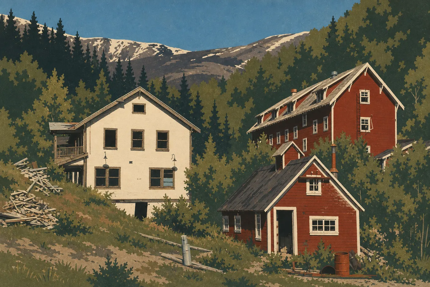
McCarthy is a village with a few dozen year-round residents and no paved road access. Its Old West Alaska atmosphere sets the tone as soon as you arrive. Stores, restaurants, guide services, and gear rentals cluster along a few gravel streets. It's the starting point for every exploration of the southern area.
Kennecott: 5 miles from McCarthy by shuttle or on foot, the Kennecott mines are a National Historic Landmark. They operated from 1903 to 1938 and produced more than a billion dollars' worth of copper in today's money before the ore ran out. The red-and-white buildings clinging to the mountainside, set against the Kennecott Glacier, create one of the most striking scenes in the national park system. Guided tours of the interiors, approved by the NPS, last 2 to 3 hours and are strongly recommended for understanding the site's industrial and human history. The miners' working conditions, the era's logistical feats, and the abrupt abandonment in 1938 leave a lasting impression.
Kennecott Glacier: accessible on foot from the village of the same name, it offers a first look at the icefields without specialized equipment. Its surface is partly covered by moraines, gravel and rock carried by the ice, which makes it easier to walk on dry ground. Local guides offer crampon-and-ice-ax trips for anyone who wants to venture farther out.
Root Glacier (Root Glacier Trail, 1.8 miles round-trip): next to Kennecott Glacier, accessible via a well-established trail from Kennecott. At the end of the trail, you can touch the blue ice directly. On a clear afternoon, the light on the seracs is remarkable. This is the area's classic hike, and it works for all ability levels.
Bonanza Mine (Bonanza Mine Trail, 5.6 miles round-trip, 2,900 feet of elevation gain): an uphill trail from Kennecott to the remains of Bonanza Mine, at 4,855 feet. It offers 360-degree views of the Wrangell Mountains and Saint Elias Mountains, the glaciers, and McCarthy Valley below. Allow 5 to 7 hours. Moderate to strenuous. Start early. Clouds often settle over the high country in the early afternoon.
Recommended time for this area: 2 to 3 full days.
Nabesna Road and the Northern Park
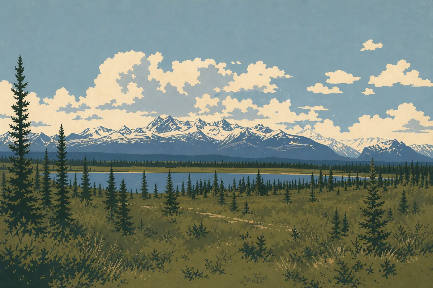
The northern area, reached from Slana via the Glenn Highway, feels like a different world. There are fewer visitors and services, but more wildlife and intentional solitude.
Twin Lakes: two mountain lakes reached by a short trail, about 1.2 miles round-trip, from Nabesna Road. A good place to look for diving ducks and woodpeckers. It works for families with kids as young as 5 if road conditions allow access by car.
Tanada Lake: a wilder lake farther up the valley, reached by an unmarked trail of 3 to 3.7 miles from Nabesna Road. Beavers, otters, and Dall sheep inhabit the surrounding ridges. Check conditions with the Slana visitor center before setting out. This area changes quickly after rain.
Nabesna River: a seasonal fishery for Arctic grayling and Dolly Varden, mainly in July and August. Local guides from the Slana area offer day trips. A high-clearance 4WD vehicle is essential on Nabesna Road, especially after the first 31 miles.
This area suits travelers who want to get beyond Kennecott's relative tourist flow and experience a less developed Alaska, where you can drive 19 miles without seeing another person.
Copper Center and the Park Entrance
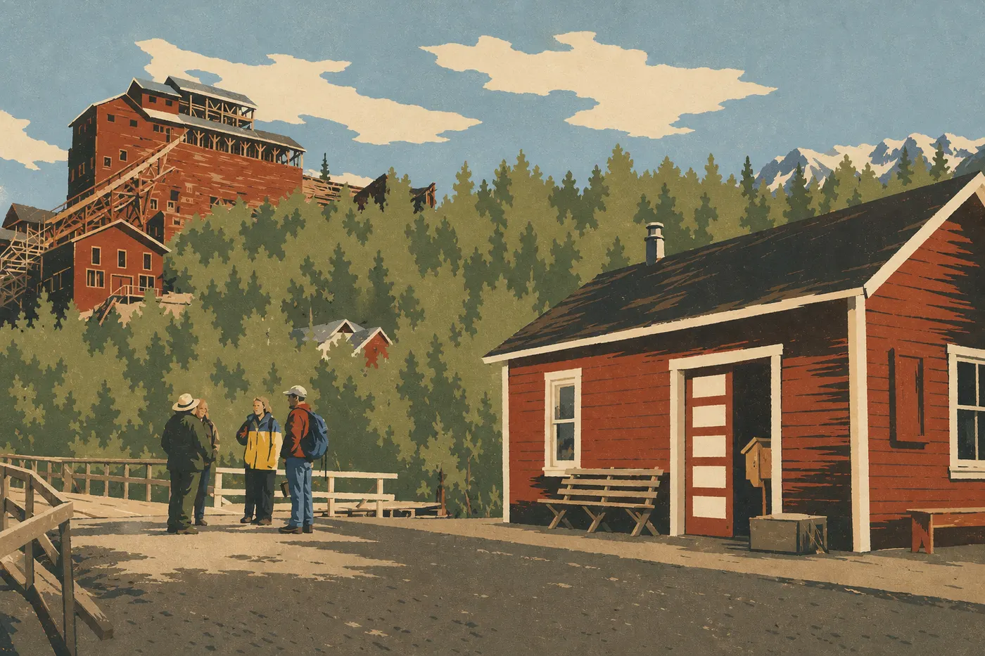
Copper Center isn't technically inside the park, but it's the main logistics base. The main visitor center, open in summer through mid-September, is a required stop before entering. Rangers update topographic maps, road conditions, weather alerts, and route advice every day.
Viewpoints of the Wrangell Mountains: heading north from the visitor center on the Richardson Highway, several pullouts open onto views of Mount Drum (12,011 feet) and Mount Sanford (16,237 feet), rising in the foreground above a broad plateau. On a clear day, this is one of the widest lowland views in all of Alaska. Take time to stop. It's easy to drive too fast on this road.
The Copper River: the river crosses the southwestern part of the park before reaching the Pacific at Cordova. It's a well-known sockeye salmon fishing area in July and August, as well as a migration corridor for caribou in spring.
The Backcountry: Untamed Alaska Without Compromise
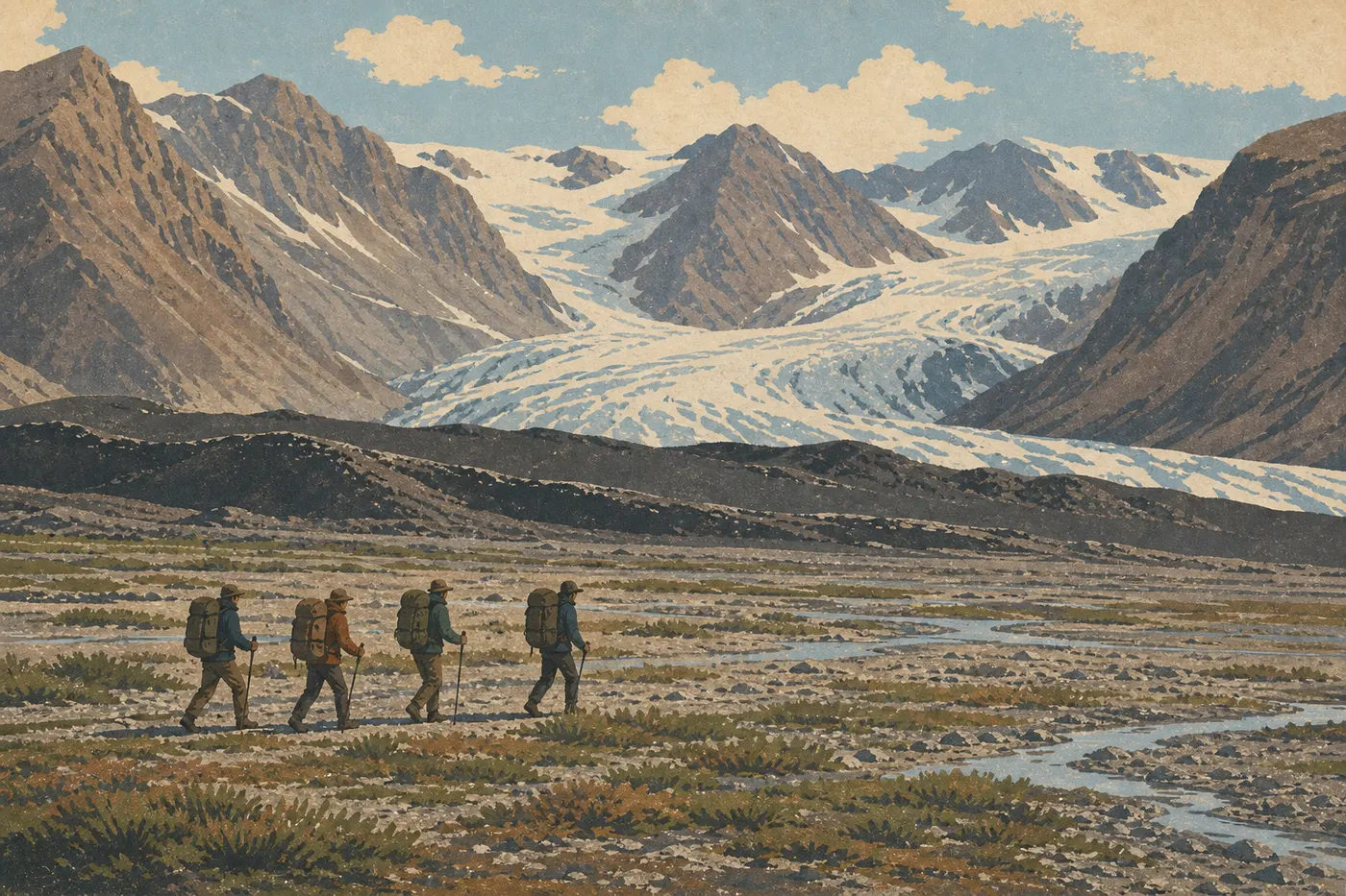
More than 99 percent of the park is designated wilderness. There are no facilities, no marked trails, and no cell service. This is what sets Wrangell–St. Elias apart from all the other major American national parks.
Bering Glacier: about 118 miles long, it's one of the largest temperate glaciers outside the polar regions. You can reach it only by plane, via an air taxi from McCarthy or Cordova, or on an expedition lasting several weeks. The Bagley Icefield that feeds it covers more than 1,900 square miles.
Mountaineering on Mount Saint Elias (18,009 feet): the second-highest peak in the United States. Reaching it requires a 2- to 4-week expedition with an air taxi and complete high-mountain gear. It's for experienced mountaineers with high-altitude and glacier experience.
Backcountry camping: no NPS reservation is required, but safety requirements are nonnegotiable. The NPS recommends a bear canister. A ranger will explain how to use it if it's your first time. You'll also need satellite communication, such as a SPOT phone or PLB, off-trail navigation skills, and careful weather planning with a 48-hour safety margin. Read the practical information about Wrangell–St. Elias before any backcountry departure.
The Best Hikes in Wrangell–St. Elias
Marked and developed trails are rare here. That's an intentional feature of the park, which preserves its wild character at the expense of tourist comforts.
Root Glacier Trail (1.8 miles round-trip, trailhead in Kennecott): the most accessible option. Flat and well established, with direct contact with the ice at the end. All ability levels. It's often the first hike of a trip, and it sets the tone.
Bonanza Mine Trail (5.6 miles round-trip, 2,900 feet of elevation gain): the classic climb in the Kennecott area. Glacial views and mining remains at the top. Moderate to strenuous.
Dixie Pass (11.8 miles round-trip, about 2,950 feet of elevation gain): a hike from McCarthy Road to the pass at 5,840 feet, with panoramic views of several mountain ranges. An overnight backcountry stay is possible at the pass.
Nugget Creek Trail (about 6.2 miles round-trip from Kennecott): a partly moraine-covered route to the mines in Nugget Creek Valley. The terrain is uneven, and sturdy hiking boots are strongly recommended.
For complete trail descriptions, including exact elevation gain, duration, water sources, and bear-related risks on each trail, see the detailed guide to trails in Wrangell–St. Elias.
Other Activities by Traveler Type
Flightseeing
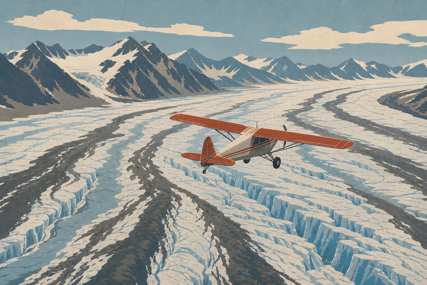
This is the activity that resets your sense of the park's scale, and it really can't be overstated. From McCarthy or Chitina, planes with tundra tires or floats carry passengers over glaciers, icefields, and peaks above 16,400 feet. Flights last from 45 minutes to 2 hours, depending on the operator.
Some flights include a glacier landing. The plane touches down on the ice, and passengers get out for a 20- to 30-minute walk. When we visited McCarthy, we chose this 90-minute option, and it was easily the best-value decision of the trip.
Typical prices range from $300 to $500 per person, depending on the flight's duration and type. It's expensive, but it's the only way to grasp the park's true scale in a few hours.
Wildlife Watching
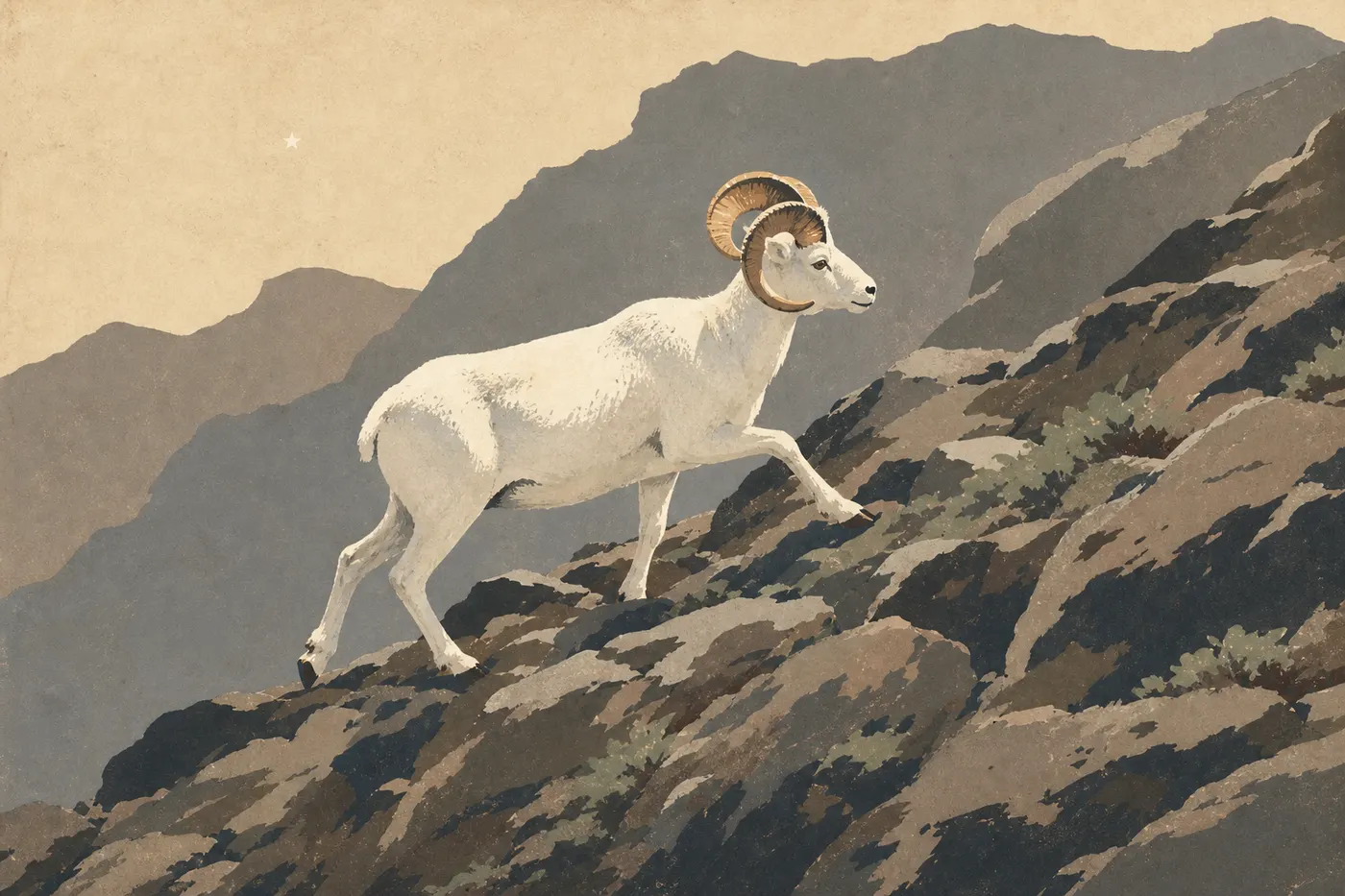
Wrangell–St. Elias supports significant populations of grizzlies, especially active from July through August near waterways during salmon runs; black bears in the forested southern area; Dall sheep on the Nabesna ridges and around Kennecott; caribou from the Wrangell Mountains herd; gray wolves; and moose in wetland areas.
Maintain a minimum distance of 100 yards from bears and 50 yards from other mammals. In the backcountry, always carry bear spray in a belt holster, not at the bottom of your pack. The Wrangell–St. Elias wildlife guide explains how to behave around each species and the best seasonal conditions for viewing them.
Rafting and Kayaking
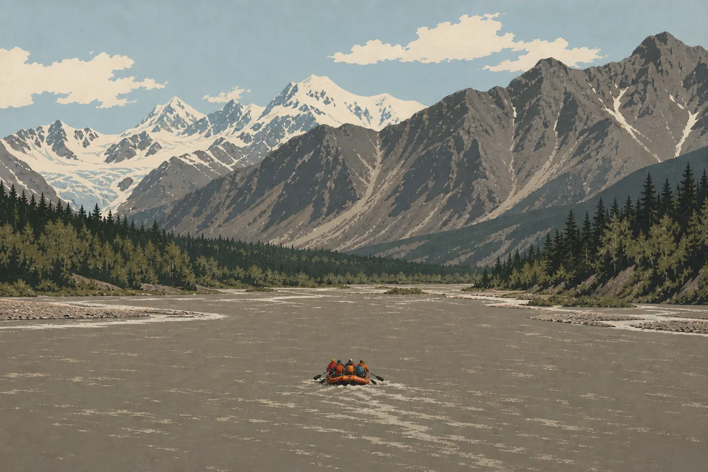
The Copper River and Chitina River offer sections for different ability levels. Several operators based in McCarthy offer beginner-friendly day trips on accessible sections. Running the full Copper River from the glaciers to the Pacific at Cordova takes several days and is reserved for experienced, self-sufficient teams.
Photography and Stargazing
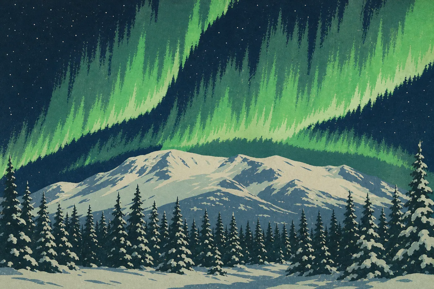
In June and July, night is almost absent at this latitude. Night photography is limited, but the low “white night” light is ideal for photographing glaciers and wildlife. By late August, the northern lights begin to appear and the skies remain largely clear. With no light pollution for hundreds of miles, the park offers exceptional stargazing conditions for anyone in the backcountry.
Visiting with Kids
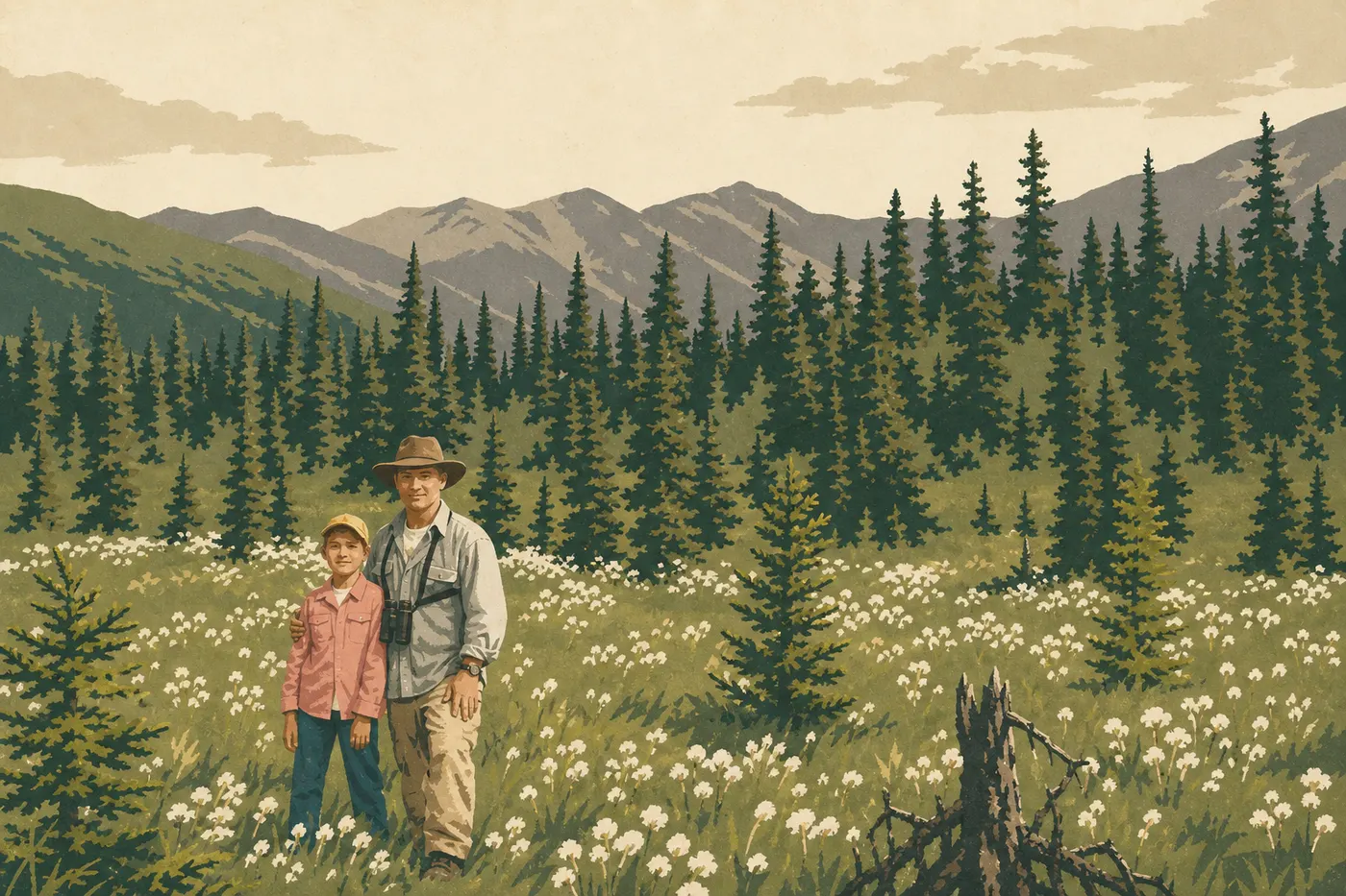
Root Glacier Trail and short flightseeing tours, lasting 45 minutes, work for kids ages 7 or 8 and up. McCarthy, with its end-of-the-road explorer-village atmosphere, easily captures younger children's imagination. The logistics, including the gravel road, long distances, and bears, still call for serious family preparation. The dedicated guide details age-appropriate activities and precautions for visiting Wrangell–St. Elias as a family.
Things to Do Around Wrangell–St. Elias
The park is part of a continental-scale protected area formed with Canada's Kluane and Tatshenshini-Alsek parks and Glacier Bay. It's the largest protected natural area on the planet and has been a UNESCO World Heritage Site since 1994.
Kluane National Park (Yukon, Canada): adjoining Wrangell–St. Elias along the Canada–United States border, Kluane is home to Mount Logan (19,551 feet), Canada's highest peak. A trip of 10 days or more can include the Canadian side via the Alaska Highway and Haines Junction, less than a day's drive from McCarthy through Tok.
Copper River Highway: this former railroad right-of-way has been converted into a rough road, impassable in places, where a high-clearance 4WD vehicle is required. It connects Chitina with Cordova on the coast, crossing the southern part of the park. Million Dollar Bridge east of Cordova, facing Miles and Childs Glaciers, is its most photographed endpoint. It's an adventure in its own right for travelers with time and a suitable vehicle.
Anchorage (217 miles west): the main logistics hub. Most travelers combine Wrangell–St. Elias with Kenai Fjords, 4 hours south, for whales and sea kayaking, or Denali, 5 hours north, for mountaineering and bears. Two- to three-week Alaska road trips make it possible to combine these destinations on one circuit.
The Essentials: What to See First in Wrangell–St. Elias
For 3 days: take McCarthy Road to Kennecott, tour the mines, hike Root Glacier Trail, and take a 60- to 90-minute flightseeing tour with a glacier landing if your budget allows.
For 5 to 7 days: add Nabesna Road for solitude and wildlife, one night of backcountry camping within reach of the glaciers, and a day of rafting on the Copper River.
Is Wrangell–St. Elias worth the trip? Absolutely, with one condition: come prepared. The park doesn't forgive improvisation, but it rewards the effort with scenery and a sense of space you won't find anywhere else in the national park system. You come home with a new idea of what “big” means.
Frequently Asked Questions
Is Wrangell, Alaska, worth visiting?
Wrangell–St. Elias is worth visiting if you're looking for a park where logistics are part of the adventure: no entrance fee, gravel roads instead of tourist highways, abundant wildlife, and unmatched glacial scenery in the American national park system. Prepare carefully or hire a local guide.
What is the most beautiful place in Alaska?
“Most beautiful” depends entirely on the traveler. In our experience, the combination of Kennecott's intact industrial history, a flightseeing tour over the icefields, and a grizzly sighting on the Copper River is hard to beat in Alaska.
What is the prettiest town in Alaska?
Cordova and Skagway are often mentioned for their character and historical roots. Anchorage is the logistics capital. McCarthy, the gateway to Wrangell–St. Elias, wins people over with its authentic Old West Alaska atmosphere, built for the place rather than for tourists.
What can you do in Alaska besides Wrangell–St. Elias?
Alaska offers Denali for mountaineering and grizzly viewing, Kenai Fjords for humpback whales and sea kayaking, Katmai for bears fishing for salmon at Brooks Falls in July, and hundreds of lesser-known protected areas. Wrangell–St. Elias fits easily into a two- to three-week road trip combining several of these destinations.