
Wrangell–St. Elias Map: Regions, Roads, and the Official Map
Wrangell–St. Elias lies in southern Alaska, about 186 miles east of Anchorage by road. It covers more than 20,500 square miles, making it the largest national park in the United States, slightly larger than Switzerland. The official NPS PDF map is free to download at nps.gov/wrst/maps. It shows the two road corridors, four visitor centers, and the park's main areas.
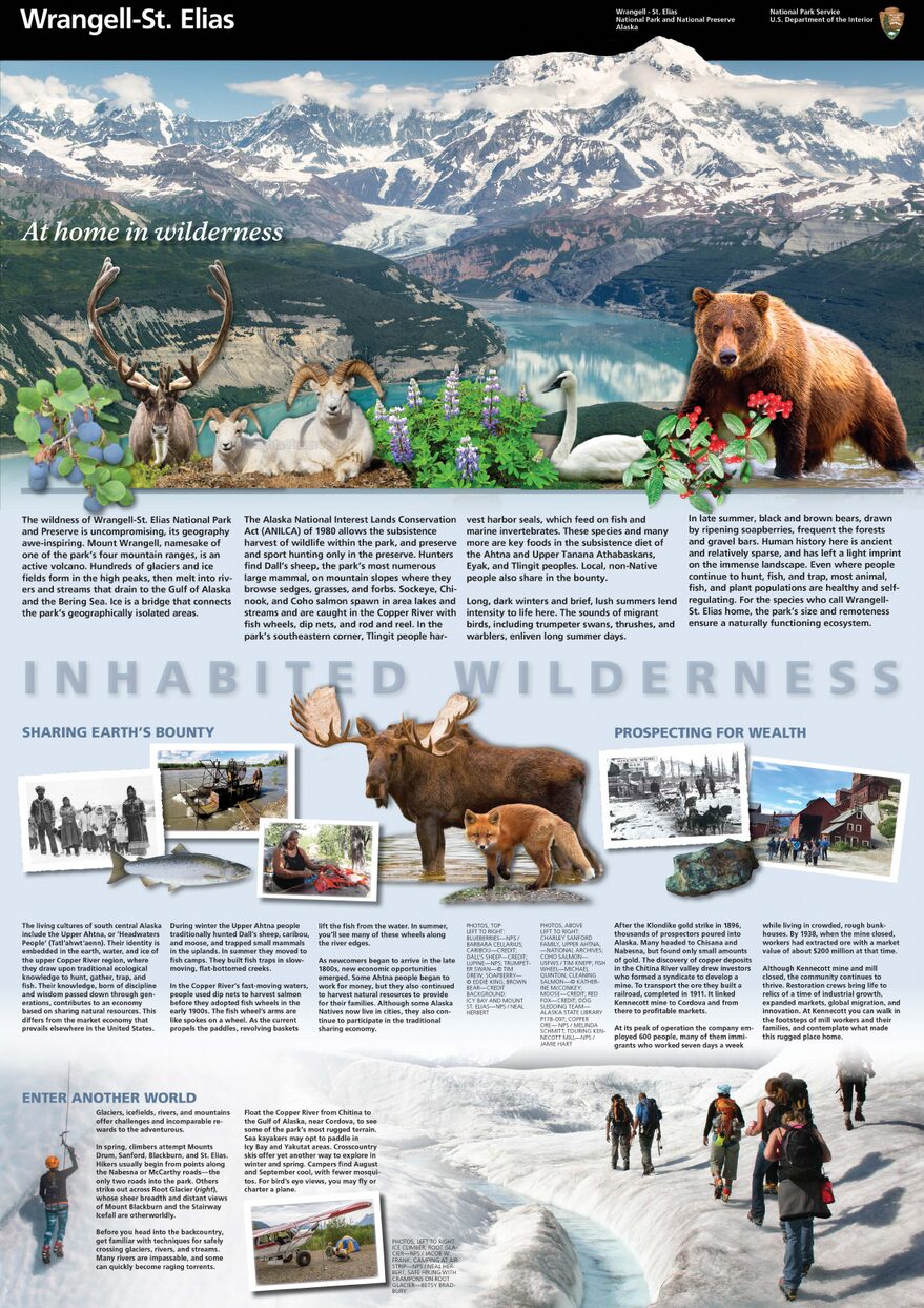
The official park map handed out at entrance stations, with roads, areas, visitor centers and services. View it here or download it for offline use.
Download the map (PDF) Public domain · National Park ServiceWhere Is Wrangell–St. Elias?
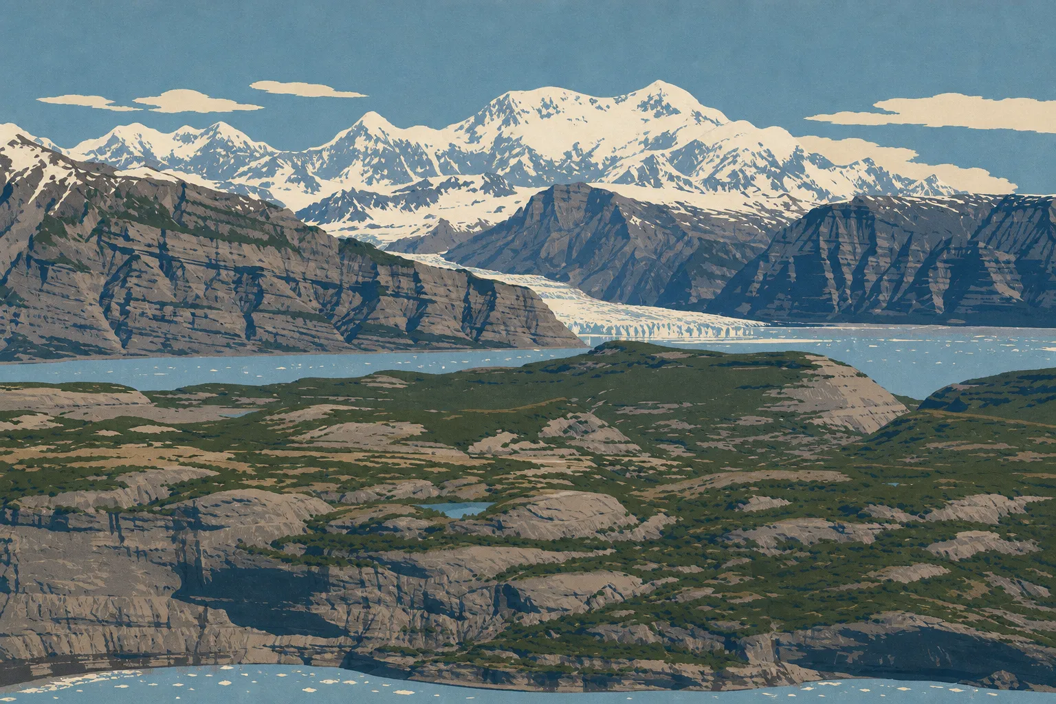
The park occupies southeastern Alaska, where four mountain ranges meet: the Wrangell Mountains, the Saint Elias Mountains, the Chugach Mountains, and the Alaska Range. It borders Canada to the east, including Yukon and British Columbia, and together with Kluane, Glacier Bay, and Tatshenshini-Alsek parks forms one of the largest protected natural areas listed as a UNESCO World Heritage Site. The town of Glennallen, to the west, is the main road gateway. The Wrangell–St. Elias access guide covers routes from Anchorage.
Download the Official Wrangell–St. Elias Map (NPS Unigrid)
The NPS publishes a free Unigrid PDF map of the park. It shows the two internal access roads, McCarthy Road and Nabesna Road, along with visitor centers, large wilderness areas, and the main peaks. Be prepared: cell service is almost nonexistent inside the park. A paper map is essential, no matter what digital equipment you carry.
Download it at nps.gov/wrst/maps. The map is in the public domain and free to use.
Wrangell–St. Elias Regions
The park is divided into two vehicle-accessible corridors and a vast wilderness backcountry accessible only on foot or by plane.
The McCarthy Corridor (McCarthy Road)
This is the most visited area. McCarthy Road is about 60 miles of unpaved road from Chitina, ending at the villages of McCarthy and Kennecott. Kennecott preserves the remains of the former copper mine, a National Historic Landmark, and serves as the base for most glacier hiking guides. The Wrangell–St. Elias activities guide covers the options in this area.
The Nabesna Corridor (Nabesna Road)
Nabesna Road runs about 40 miles from Slana into the northern part of the park. This wilder, far less visited area attracts people looking for solitude, hunters, and anglers. The road requires a high-clearance vehicle, and sometimes a 4WD vehicle, depending on conditions.
The Backcountry
About 97 percent of the park is designated wilderness. You can reach it only by air taxi, or bush plane, from Chitina, McCarthy, or Glennallen. This is where you'll find vast ice fields, including Bagley Icefield, the largest nonpolar ice field in North America. Wolves, grizzlies, caribou, and moose live here with little regular human contact.
Park Entrances and Driving Across the Park
You can't drive across Wrangell–St. Elias from one end to the other. Both internal roads are dead ends. McCarthy Road, from Chitina on Highway 10, and Nabesna Road, from Slana on the Glenn Highway, each enter the park without connecting to the other. There is no internal road loop.
The administrative center and main visitor center are in Copper Center, along the Richardson Highway (Hwy 4), 8 miles south of the junction with the Glenn Highway. Three other visitor centers serve the Kennecott, Chitina, and Slana areas. Their hours are seasonal: they're open in summer and closed from mid-September through April. The Wrangell–St. Elias driving guide covers seasonal road conditions.
Points of Interest on the Map
On the map, look first for these places:
- Kennecott: Historic buildings, access to Root Glacier, lodging, and dining.
- Kennicott and Root Glaciers: Visible and accessible from McCarthy, on foot or with a guide.
- Mount Blackburn (16,400 feet): The highest point in the Wrangell Mountains, visible from Nabesna Road in clear weather.
- Nabesna Village: The northern road's terminus and a starting point for the backcountry.
- Bagley Icefield: Accessible by bush plane with several local operators.
The Wrangell–St. Elias hiking guide locates the trails in each corridor, while the park wildlife guide explains where to look for the major species.
Nearest Towns and Airports
The nearest town to the administrative center is Glennallen, about 8 miles north of Copper Center on the Richardson Highway. For the McCarthy Corridor, Chitina is the last village before the road. The nearest international airport is Anchorage (about 186 miles west by road), served by major North American airlines. Regional flights also connect Anchorage with Glennallen and McCarthy for air-taxi access. Our Access & Transportation page covers transfer options. The park overview provides the big picture on logistics.
Paper Hiking Maps and Topographic Guides
For any trip outside the two road corridors, a USGS topographic map at a scale of 1:63,360 is essential. These maps cover the entire park and are available as free downloads from usgs.gov or from specialty travel bookstores. National Geographic Trails Illustrated maps cover the McCarthy–Kennecott area. Always carry a compass. GPS can be unreliable at high elevations in the mountains.
Frequently Asked Questions
Can you drive across Wrangell–St. Elias National Park?
No, you can't drive all the way across Wrangell–St. Elias. The two internal roads, McCarthy Road and Nabesna Road, are dead ends and don't connect.
Where is Wrangell–St. Elias?
Wrangell–St. Elias lies in southeastern Alaska, about 186 miles east of Anchorage by road. It borders Canada, including Yukon and British Columbia, to the east.
Is there a map of Wrangell–St. Elias? Can you download it?
Yes. The NPS publishes an official Unigrid PDF map, available for free at nps.gov/wrst/maps. It covers the entire park, including roads, visitor centers, and wilderness areas.
What is the nearest town to Wrangell–St. Elias?
The nearest town to the administrative center, Copper Center, is Glennallen, about 8 miles north. For the McCarthy area, Chitina is the last village before the road.
Are there wolves in Wrangell–St. Elias?
Yes. Wolves live in the park, mainly in the less visited wilderness areas. Sightings from the road corridors remain rare.
How did Wrangell–St. Elias get its name?
The park takes its name from two mountain ranges. The Wrangell Mountains are named for Baron Ferdinand von Wrangel, a Russian governor of Alaska in the 19th century. The Saint Elias Mountains recall the cape named by explorer Vitus Bering, who saw it on the feast day of Saint Elias in 1741.
Is Wrangell–St. Elias worth visiting?
If you enjoy vast wild landscapes, absolutely. The logistics require serious preparation, with long distances, demanding roads, and few services, but the park offers an unmatched immersion in a glacial and volcanic landscape in North America. Our complete guide will help you plan your visit.