
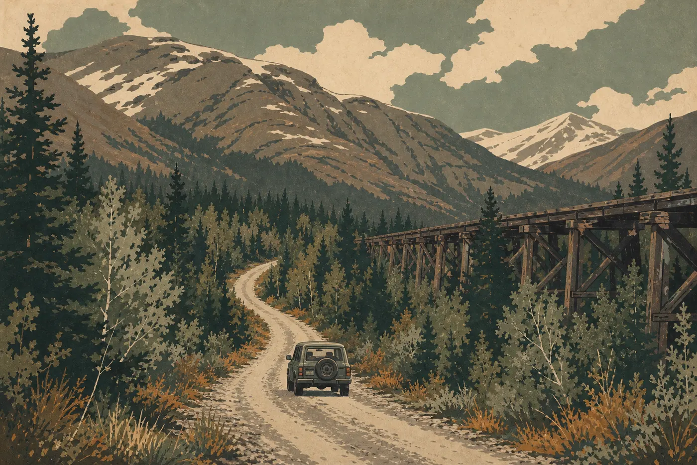
Getting Around Wrangell–St. Elias: Access, Roads, and Parking
The short answer: Wrangell–St. Elias has no organized shuttle service. Getting around means driving, often in a 4WD vehicle, on gravel roads. For areas beyond the road system, bush planes take over.
At 20,500 square miles, Wrangell–St. Elias is the largest national park in the United States, covering about six times the area of Yellowstone. Two roads provide vehicle access, and that's about it. There are no paved roads inside the park, no official shuttle, and no cell service. Planning isn't optional here. For an overview before getting into the logistics, start with our complete guide.
How to Get to Wrangell–St. Elias
From Anchorage, about 217 miles and 4 to 5 hours away, or Fairbanks, about 311 miles and 5 to 6 hours away, take the Richardson Highway to Copper Center. For all the details on access, airports, transportation options, and approach roads, the Wrangell–St. Elias access guide covers the essentials.
The Park Entrances and Which One to Choose
Wrangell–St. Elias has no gated entrance station or automatic entrance fee. Visiting the park is free. For entrance fees and annual passes, see our National Parks Fees and Passes page.
The park is organized around two road corridors.
Southern corridor (McCarthy Road): the busiest and most spectacular access route. You enter from Chitina, about 37 miles south of Copper Center. This corridor leads to the McCarthy area and the famous Kennecott mines, the historic heart of the park.
Northern corridor (Nabesna Road): access from Slana, on the Glenn Highway, about 47 miles west of Copper Center. Wilder and considerably less visited, it serves the park's northern side and a few remote trailheads.
The Headquarters Visitor Center in Copper Center is on the Richardson Highway, about 8 miles south of the Glenn/Richardson junction. Always stop before heading onto either road. The ranger staff can give you current road conditions and help you avoid unpleasant surprises. Contact number: (907) 822-7250.
Getting Around the Park
Driving on Gravel Roads
There are no paved roads inside the park. In dry weather, both corridors are passable in an ordinary car if you're properly equipped.
McCarthy Road, about 59 miles from Chitina: this former railroad grade follows the Chitina River before dropping into the Kennicott Valley. The surface is generally acceptable in midsummer, but sharp rocks, ruts, and potholes wear out tires faster than a Sunday drive. Carry at least one full-size spare tire; two are better. Keep your speed between 25 and 34 mph, depending on road conditions. The road ends at the parking area across from the Kennicott River. Cars can't go any farther.
Nabesna Road, about 43 miles from Slana: the first 16 to 19 miles are paved, and the rest is gravel. After sustained rain, some sections become waterlogged, and good ground clearance makes a real difference.
An ordinary vehicle can handle both roads in dry weather. After rain, an SUV or 4WD vehicle with good ground clearance is a sensible precaution.
By Bush Plane, Floatplane, and Light Aircraft
In this park, a bush plane isn't a gimmick. It's a true means of transportation. Fishing camps, backcountry hiking areas, and very remote trailheads are accessible only by air. Companies based in McCarthy, Chitina, or Glennallen offer charter flights to glaciers, mountain lakes, and valleys the roads never reach. If your plans go beyond the two corridors, include this cost in your budget.
On Foot and by Bike in the McCarthy–Kennecott Area
The Kennicott River parking area marks the end of the road for motor vehicles. To reach McCarthy, about 0.3 miles away, and then Kennecott, about 5 miles farther, you have three options.
Private local shuttle: several operators near the parking area run van service between the parking area and Kennecott. It's convenient with luggage or if you're tired after 59 miles of gravel road.
By bike: a pedestrian bridge crosses the Kennicott River to McCarthy. From there, the road to Kennecott is bikeable and very pleasant in good weather. Allow 20 to 30 minutes of riding from the parking area.
On foot: same bridge, same road, but allow 1.5 to 2 hours from the parking area to Kennecott. With heavy luggage, the private shuttle is the practical choice.
Where to Park
Kennicott River parking area at the end of McCarthy Road: this is the main parking area for visiting McCarthy and Kennecott. There's plenty of space, but July crowds can fill it quickly. Arrive before 9 a.m. during peak season to find a spot without stress. Parking is free and unattended.
Nabesna Road trailheads: a series of small, unattended parking areas lines the road. Lock your vehicle, keep everything out of sight, and let the rangers know your itinerary if you're heading into the backcountry for several days.
Headquarters Visitor Center in Copper Center: free parking with ample space, and a natural first stop before taking either of the two roads.
There are currently no paid parking areas in the park.
Distances and Driving Times Between Areas
| Leg | Approx. distance | Estimated time |
|---|---|---|
| Anchorage → Copper Center | ~217 miles | 4 to 5 hours |
| Copper Center → Chitina | ~37 miles | 45 minutes to 1 hour |
| Chitina → Kennicott River parking area | ~59 miles | 2 to 2.5 hours |
| Parking area → McCarthy, pedestrian bridge | ~0.3 miles | 10 minutes |
| McCarthy → Kennecott, road | ~5 miles | 20–30 minutes by bike, 1.5 hours on foot |
| Slana → end of Nabesna Road | ~43 miles | 1.5 to 2 hours |
These times apply in good summer weather. Allow more time after rain or if you stop at the overlooks.
To plan the order of your visits and determine how long to stay, see the suggested itineraries in the Wrangell–St. Elias itineraries guide.
Special Cases: RVs, Vans, Accessibility, and Pets
RVs and camper vans: both gravel roads are suitable for moderately sized vehicles, up to about 23 to 26 feet. Longer vehicles may find the tight turns on McCarthy Road and narrower sections challenging. The bridge over the Kennicott River has clearance and weight restrictions. Check the current limits with the visitor center before setting out. Camping areas and extended parking rules for RVs are covered in the Wrangell–St. Elias RV guide.
Visitors with limited mobility: unpaved roads greatly restrict motorized access. The Headquarters Visitor Center in Copper Center is wheelchair accessible and has accessible restrooms. At Kennecott, a few historic buildings are accessible, but the surrounding terrain remains rough. Call (907) 822-7250 before your visit for personalized advice.
Pets: dogs are allowed on roads, in parking areas, and in campgrounds, but not on trails or in the backcountry. Dogs must be on a leash no longer than 6.5 feet. This rule matters here. Bears, wolves, and caribou are everywhere, and your dog could trigger or draw an unwanted encounter in either direction.
Practical Travel Information: Fuel, Cell Service, and Weather
Fuel: fill up before entering the park. Gas stations are nearly nonexistent inside. Glennallen and Chitina have gas stations, but check their hours because some close early in the evening. For longer trips on Nabesna Road, carrying an extra 1.3 to 2.6 gallons of fuel is a sensible precaution.
Cell service: coverage disappears as soon as you leave the Richardson Highway. McCarthy, Kennecott, and nearly all of the roads are completely out of range. Download offline maps, such as Gaia GPS or Maps.me, before leaving. Tell someone you trust your itinerary and expected return time. For any backcountry trip, a satellite communicator such as a Garmin inReach or SPOT isn't overkill. It's a practical safety measure.
Weather: conditions change quickly in Alaska and vary with elevation and valley exposure. Check the forecast from Anchorage or Fairbanks, then confirm it again in Copper Center on the morning you leave. Find forecasts and weather resources in the Wrangell–St. Elias weather guide.
Facility operating season: the park is technically accessible year-round, but visitor centers in Copper Center and Kennecott operate only in summer and generally close from mid-September through April. McCarthy Road may be impassable or closed outside the summer season.
Frequently Asked Questions
How do you get around Wrangell–St. Elias National Park?
Getting around Wrangell–St. Elias mainly means driving on two gravel roads: McCarthy Road in the south and Nabesna Road in the north. There is no official shuttle in the park. For areas beyond the road system, bush planes, including floatplanes and light aircraft, are the only alternative.
Can you visit Wrangell–St. Elias by car?
Yes. In summer, an ordinary vehicle is enough for McCarthy Road and Nabesna Road in good weather, as long as you carry a full-size spare tire. The road ends at the Kennicott River parking area. From there, you can reach McCarthy and Kennecott on foot, by bike, or with a private local shuttle.
Where can you park in Wrangell–St. Elias?
The main parking area is at the end of McCarthy Road, across from the Kennicott River. It's free and unattended, but it can fill up in July, so aim to arrive before 9 a.m. Unattended trailhead parking areas also line Nabesna Road.
Which entrance is best for Wrangell–St. Elias?
For a first visit, the McCarthy Road corridor, accessed from Chitina, is the essential choice. It leads directly to McCarthy and the historic Kennecott mines. Nabesna Road is a better fit for hikers looking for solitude and the landscapes of the park's northern side.
Is there cell service in Wrangell–St. Elias National Park?
No. Cell coverage is absent across nearly the entire park once you leave the Richardson Highway. Download offline maps before you leave and consider carrying a satellite communicator for any backcountry trip.
How much time do you need to visit Wrangell–St. Elias?
It depends on your plans: two to three days for an overview of McCarthy and Kennecott, or several weeks to explore the backcountry. Our Itineraries and Length of Stay page lays out options for different amounts of time.