
Mount Rainier Itinerary: What to See in 1, 2, or 3 Days
Mount Rainier rises to 14,410 feet and dominates the skyline across Washington State. Around it, the national park offers more than 250 miles of trails, wildflower meadows in summer, and glaciers you can reach on foot from a parking lot. Three days is the ideal amount of time to cover the main areas: Paradise in the south, Ohanapecosh in the southeast, and Sunrise in the northeast. With just one day, focus entirely on the Longmire-to-Paradise corridor. That's where you'll find the densest scenery and the most direct views of the volcano.
How Much Time Do You Need to Visit Mount Rainier?
One day is enough for a solid first impression: enter through Nisqually Entrance, stop at Longmire, and head up to Paradise. Plan on spending six to eight hours in the park, not including driving time.
Two days let you add Stevens Canyon and Grove of the Patriarchs Trail. This is the most common plan for a long weekend from Seattle or Tacoma.
Three days cover the essentials: Paradise, Ohanapecosh, and Sunrise. This is what we recommend if you're traveling from the East Coast or Europe.
Beyond three days, the park pairs naturally with Mount St. Helens to the south or North Cascades National Park to the north. These destinations fit easily into a Cascades road trip.
Access, Entrances, and Getting Around the Park
Mount Rainier is in west-central Washington State. Seattle, Tacoma, and Yakima are all within about 200 miles. Portland, Oregon, is less than a four-hour drive away.
The park has four main entrances:
- Nisqually Entrance (southwest): the busiest entrance, accessible via State Route 706 from Ashford and open year-round. It's the natural starting point for Longmire and Paradise.
- White River Entrance (northeast): access to Sunrise via SR-410 from Enumclaw. It's closed in winter.
- Carbon River Entrance (northwest): the paved road ends at the campground. Beyond that, the area is explored on foot or by bike.
- Stevens Canyon Entrance / Ohanapecosh Entrance (southeast): accessible via SR-123 from Packwood. Stevens Canyon Road, which connects this area with Paradise, closes every winter, generally until May or June.
Inside the park, a car remains essential. The distances between areas are significant, and there's no inter-area shuttle. Seasonal shuttles do connect Longmire and Paradise during busy periods, however. Our Mount Rainier access guide explains the conditions in effect during each season.
Speed limits on park roads are generally 35 mph. Wildlife can cross at any time, so follow the limits.
Mount Rainier's Areas
Longmire and the Nisqually Valley (southwest)
Longmire is the first logical stop when you enter through Nisqually Entrance. You'll find a historic museum, a visitor center, and the National Park Inn, a century-old lodge that's open year-round. The conifer forest around the village is worth turning off the engine and exploring for a few minutes. The Rampart Ridge Trail, about 4.3 miles with moderate elevation gain, offers a sweeping view down into the valley.
Paradise, the Heart of the Park (south)
At about 5,400 feet, Paradise is the park's most visited area. In July and August, its meadows burst into bloom with wildflowers such as lupines, anemones, and avalanche lilies, with the volcano as a backdrop. The Henry M. Jackson Visitor Center features exhibits on Rainier's volcanic geology. The Skyline Trail, an 8.1-mile loop with about 1,500 feet of elevation gain, climbs to Panorama Point. From there, you'll have a direct view of Nisqually Glacier and, on clear days, the summit itself.
Ohanapecosh and Stevens Canyon (southeast)
Ohanapecosh is one of the least visited areas, which makes it one of the most pleasant during the busy season. Grove of the Patriarchs Trail winds through Engelmann spruce, Douglas firs, and centuries-old western red cedars, some more than six feet in diameter. The interpretive loop, about 0.9 miles long, is accessible to everyone. Stevens Canyon Road descends from Paradise alongside several waterfalls. Don't miss Box Canyon along the way, a narrow, deep gorge carved by the Cowlitz River.
Sunrise, the Park's High Point (northeast)
At about 6,400 feet, Sunrise is the highest point in the park accessible by car. On clear days, the view of Emmons Glacier, the largest glacier in the contiguous United States, is striking. The first light of morning paints the volcano pink and orange. If you're staying in the area, get up early. Sunrise doesn't reopen until July and closes in mid-October. Arriving just after the roads open, with spring snow still covering the meadows, adds a lot to the atmosphere.
Carbon River and Mowich Lake (northwest)
This area is home to one of the few temperate rainforests in the interior United States. The dense canopy, mosses, and ubiquitous ferns create an atmosphere very different from the rest of the park. The paved road ends at the Carbon River campground. Beyond that, the road is traveled on foot. Mowich Lake, the park's largest lake, is accessible by an unpaved road and makes a peaceful starting point for hikers looking to get away from the crowds.
Day-by-Day Itinerary
Day 1: Longmire to Paradise, the Classic Route
Enter through Nisqually Entrance via State Route 706. Make your first stop at Longmire. Visit the museum and stretch your legs on the Rampart Ridge Trail if you have enough time and energy. Then continue toward Paradise and try to arrive before 10 a.m. Parking fills up quickly during the busy season.
At Paradise, start at the Henry M. Jackson Visitor Center to check trail conditions and which areas are open that day. Then take the Skyline Trail for the full loop, 8.1 miles and three to four hours. Panorama Point is the hike's high point, with glaciers and the summit filling the view on clear days. In the late afternoon, spend a few minutes in the meadows above the parking lot. The low light on the volcano is worth drinking your coffee cold.
Head back down to Longmire or continue to your lodging in Ashford.
Day 2: Stevens Canyon and Grove of the Patriarchs Trail
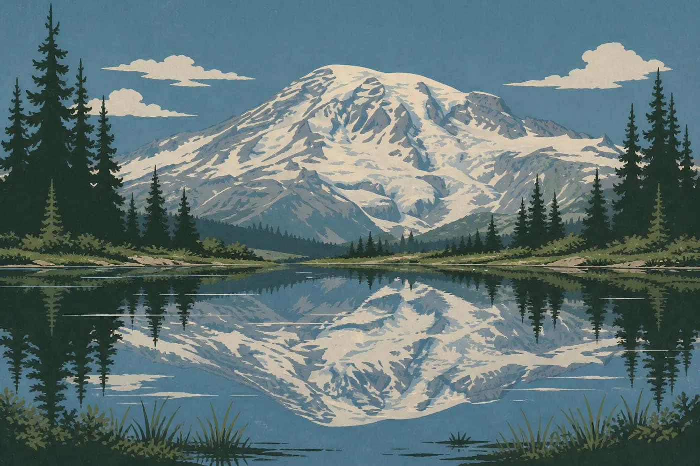
Leave Paradise and head east on Stevens Canyon Road. Make your first stop at Reflection Lakes. On a calm morning, the volcano's reflection in the lakes is one of the park's iconic images. Continue to Box Canyon for the footbridge over the gorge.
Then head down to Ohanapecosh and Grove of the Patriarchs Trail. Take time to complete the entire loop. You don't come across trees this size every day, and the area's relative quiet adds to the experience.
In the afternoon, head north on SR-123 and then SR-410 to reach the White River area. Greenwater or Enumclaw make good bases for the night.
Day 3: Sunrise and the Eastern Panorama
Set out early for Sunrise. Morning light on Emmons Glacier is worth the early start. Several short trails leave from the visitor center, including routes toward Frozen Lake and the Sourdough Ridge crest. Experienced hikers can go higher on the Burroughs Mountain Trail, which opens up a 360-degree panorama of the Cascades.
In the afternoon, head back down SR-410 toward White River Entrance and continue to your next stop. From Sunrise, allow about two hours of driving to get back to Seattle.
Options Based on Your Time
Just one day. Focus entirely on the Nisqually Entrance, Longmire, and Paradise corridor. Don't try to add Sunrise. The round trip from Paradise takes more than three hours of driving. It's better to explore Paradise in depth than rush through the entire park.
Two days. Spend all of Day 1 at Paradise and its surroundings. On Day 2, visit Stevens Canyon, Grove of the Patriarchs Trail, and Sunrise late in the day if you're staying on the north side. This plan covers the most iconic sites.
Four days or more. Add Carbon River for a change of scenery in the rainforest. Experienced hikers can also tackle sections of the Wonderland Trail, which circles the entire volcano for about 93 miles.
Winter. Only Nisqually Entrance remains open, generally as far as Longmire. Paradise is accessible on some weekends for snowshoers. Check Mount Rainier weather conditions before setting out.
Itinerary Map
The NPS provides official PDF maps known as "Unigrid" maps. They show roads, trails, areas, and entrances with the level of detail needed to plan a visit. Download one for free from the park website before you leave. The official Mount Rainier map brings together the park's available mapping resources.
Here's one practical point to know before plotting your route. The park's internal road system doesn't form a closed loop around the volcano. The northwest section between Carbon River and Sunrise is unpaved. Plan your driving accordingly.
Where to Stay Along the Itinerary
Lodging inside the park itself is limited. National Park Inn in Longmire and Paradise Inn, open from mid-May to early October, are the only two options in the mountain setting. Both need to be booked several months in advance. For campers, our Mount Rainier camping guide lists campsites and reservation requirements. Ashford on the Nisqually side and Enumclaw in the northeast are the main logistical bases. Our Mount Rainier lodging guide compares all the options accessible from the park.
Extend Your Trip: What to See Around Mount Rainier
About 93 miles south, Mount St. Helens National Volcanic Monument is a natural next stop on a Cascades volcano road trip. Farther north, North Cascades National Park offers a dramatically different landscape of glaciated peaks. These destinations fit naturally into a road trip through the Cascades' peaks and volcanoes.
The Ideal Itinerary for Your Time
1 day: Nisqually Entrance, Longmire, Paradise, and the Skyline Trail. The essentials, with no compromises.
2 days: Paradise on Day 1, Stevens Canyon and Grove of the Patriarchs Trail on Day 2. A well-spent weekend.
3 days: The full itinerary above, ending with Sunrise. This is what we recommend if you're traveling from far away.
4 days or more: Carbon River, sections of the Wonderland Trail, and a more relaxed pace.
To choose the right time to visit, see our Mount Rainier seasons guide and the park's full overview for the big picture.
Frequently Asked Questions
How many days do you need to visit Mount Rainier?
Two days let you cover Paradise, Stevens Canyon, and Grove of the Patriarchs Trail. Three days add Sunrise and give you a complete view of the main areas. One day is enough for a first visit centered on Paradise.
What's the best driving itinerary for Mount Rainier?
The classic route follows the Nisqually Entrance, Longmire, and Paradise corridor in the south, descends through Stevens Canyon to Ohanapecosh in the east, then heads back up to Sunrise via SR-123 and SR-410. The internal road system doesn't make a complete loop. You have to exit and reenter through another entrance to cover the northeast and northwest areas.
Can you drive across Mount Rainier?
Not on a closed loop. The road doesn't circle the entire volcano. The northwest section between Carbon River and Sunrise is unpaved. The park is divided into areas, with each entrance providing access to a distinct zone.
What should you see at Mount Rainier?
Don't-miss sites include Paradise, with its flower meadows, Nisqually Glacier, and the Skyline Trail; Grove of the Patriarchs Trail; Reflection Lakes; and Sunrise's overlook of Emmons Glacier. Our Things to Do page lists all the park's points of interest with practical details.
What's the standard route to climb Mount Rainier?
The most commonly used route goes through Camp Muir, at about 10,170 feet, reached on foot from Paradise. The climb to the summit at 14,410 feet is a technical mountaineering expedition. Glacier travel gear, good physical conditioning, and, in practice, a licensed guide are required. Allow at least two days and reserve your permit in advance.
How long does it take to climb Mount Rainier?
For most mountaineers, reaching the summit at 14,410 feet takes two days. They climb to Camp Muir on the first day and spend the night, then set out for the summit before dawn on the second. This isn't a hike. Serious preparation, glacier travel gear, and good physical conditioning are essential.
Can a beginner climb Mount Rainier?
Not to the summit, without specific mountaineering training and professional guidance. The park does offer dozens of trails for all ability levels from Paradise and Sunrise, including short loops suitable for families.
How much is admission to Mount Rainier?
Admission is $30 per private vehicle, valid for 7 days; $25 for a motorcycle; and $15 per person arriving on foot or by bike. The park's annual pass costs $55. The America the Beautiful pass, valid for one year at federal recreation sites nationwide, is an attractive alternative. For entrance fees and annual passes, see the National Parks Fees & Passes page.
When is the best time to visit Mount Rainier?
July and August offer the most favorable conditions: blooming meadows, all roads open, and the sunniest days. Our When to Go page compares weather, crowds, and road access month by month.
Is Mount Rainier worth visiting?
The volcano and its glaciers, Paradise's flower meadows in summer, Ohanapecosh's centuries-old trees, and Sunrise's panoramas offer a variety of landscapes that's hard to find in a single park. Two hours from Seattle, Mount Rainier is often the Northwest Coast's first big surprise for visitors.