
Guadalupe Mountains Hiking: The Best Trails for Every Level
Guadalupe Mountains National Park has more than 81 miles of trails through one of Texas's wildest landscapes. There are no shuttles, no overbuilt trail signage, and no crowds at the trailhead at 7 a.m. This is a long way from the packed parks of the American Southwest. That low-key atmosphere makes it a rewarding destination for hikers who want real desert mountain scenery without fighting for a parking spot.
The must-do hike is Guadalupe Peak Trail, which climbs to the highest point in Texas (8,750 feet). It's strenuous, windy, and rewards you with sweeping views of the Chihuahuan Desert. Two alternatives suit different ability levels: Devil's Hall Trail (moderate, with geological narrows) and McKittrick Canyon Trail to Pratt Cabin (easy, with spectacular fall colors).
Get ready for your Guadalupe Mountains hike
Permits. You don't need a permit for day hikes. Backcountry camping requires a free wilderness permit, available at Pine Springs Visitor Center or Dog Canyon Ranger Station.
Entrance fees. The fee is $10 per person for pedestrians, bicyclists, and motorcyclists. The $80 America the Beautiful pass or the $35 annual park pass covers everyone in a vehicle. You can pay at the entrance or through the NPS app.
Water. This is a desert park, and no reliable water sources exist along the trails. Bring at least 3 to 4 liters per person for a half-day outing, and more in summer. Water refill stations are available at Pine Springs Visitor Center.
Wind. Guadalupe Mountains is one of the windiest parks in the NPS system. Gusts over 62 mph occur year-round, even in midsummer. Always pack a windbreaker, even under perfectly clear skies.
Wildlife. Rattlesnakes use the rocky trails from May through October. Watch where you put your hands and feet, especially in talus areas. Mountain lions live in the high country. Report any sighting to a ranger.
Dogs. Dogs are prohibited on every trail in the park, with no exceptions. They're allowed in campgrounds and on paved areas, as long as they're leashed. Arrange pet care if you're traveling with an animal.
General safety. Tell someone your itinerary before you set out. Cell service is unavailable across much of the park.
The best hikes, area by area
Pine Springs: the park's hub
Pine Springs is home to the visitor center, the main trailheads, and the campground. It's the starting point for the park's most iconic trails, all within walking distance of the same parking lot.
- Distance
- 8.4 miles
- Elevation gain
- 3,000 feet of elevation gain
- Duration
- 5 to 7 hours
- Difficulty
- difficult
- Type
- Round-trip
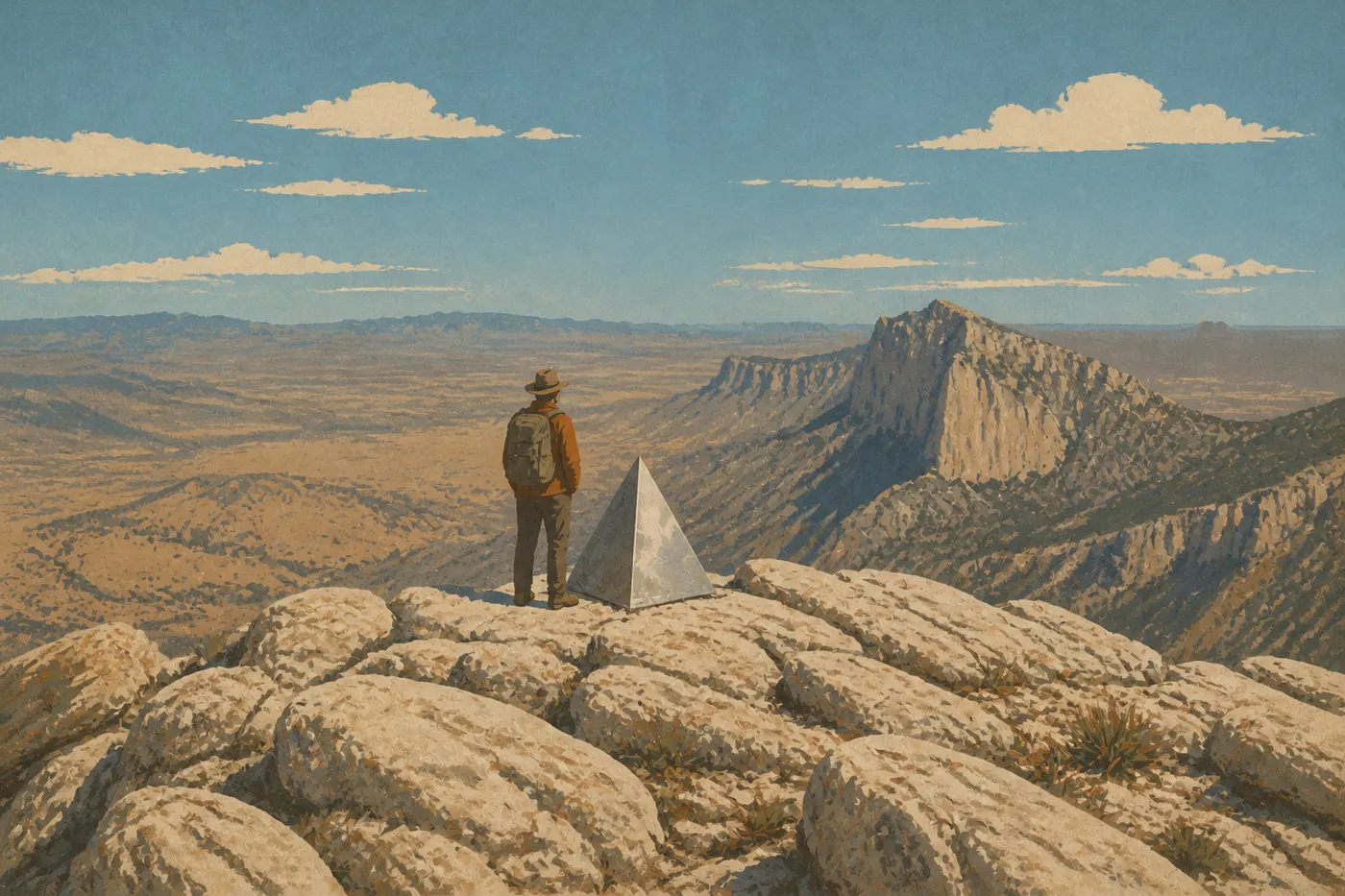
The 8,750-foot summit is the highest point in Texas. The trail climbs steadily over rocky limestone, with often-violent winds above 7,900 feet. The 360-degree views look down over the El Capitan escarpment, the Chihuahuan Desert to the west, and, on clear days, the mountains of New Mexico. Start: Pine Springs parking lot, on the north side of the visitor center. Tip: set out before 7 a.m. to reach the summit before the heat and afternoon thunderstorms arrive in summer. Trekking poles are strongly recommended for the descent.
- Distance
- 11.3 miles
- Elevation gain
- 1,510 feet of elevation gain
- Duration
- 6 to 8 hours
- Difficulty
- difficult
- Type
- Round-trip
This trail circles the base of El Capitan's limestone escarpment before heading back toward Pine Springs. The elevation gain is less than on Guadalupe Peak, but the distance and sun exposure make this a serious outing. Morning light on the cliff face is striking for photographers. Start: the same parking lot as Guadalupe Peak Trail. Experienced hikers can combine both trails via Tejas Trail for a long loop through the high country, with a backcountry overnight.
- Distance
- 4.2 miles
- Elevation gain
- 600 feet of elevation gain
- Duration
- 2 to 3 hours
- Difficulty
- moderate
- Type
- Round-trip
The trail follows Pine Spring Draw between walls that gradually close in, leading to the "Hiker's Staircase" (natural steps carved into the rock) and the narrow passage the park calls Devil's Hall. There are no painted trail markers in the rocky creek bed, so follow the cairns. This is the best effort-to-discovery ratio in the Pine Springs area.
McKittrick Canyon: fall colors and geology
McKittrick Canyon opens on the park's northeastern flank, reached by a side road about 5.6 miles from US 62/180. It's the busiest area in fall, when the maples, walnuts, and sumacs turn red and gold.
- Distance
- 4.8 miles
- Elevation gain
- little elevation gain
- Duration
- 2 to 3 hours
- Difficulty
- easy to moderate
- Type
- Round-trip
The trail follows an intermittent stream beneath an unusually dense canopy for a desert. It ends at Pratt Cabin, a restored pioneer cabin in the middle of the canyon. Most reasonably fit hikers can manage it. Longer option: continue to The Grotto (6.8 miles round-trip, 3 to 4 hours), a remarkable rock amphitheater.
- Distance
- 8.4 miles
- Elevation gain
- 2,000 feet of elevation gain
- Duration
- 5 to 6 hours
- Difficulty
- difficult
- Type
- Round-trip
This trail climbs the mountainside, exposing 260 million years of fossil reef, one of the best-preserved examples on Earth. Interpretive signs line the ascent. The bird's-eye view of McKittrick Canyon from the summit overlook makes the effort worthwhile. Start: McKittrick Canyon parking lot, separate from Pine Springs. Note: McKittrick Canyon has its own access hours, from dawn to 30 minutes after sunset. Check the hours on the NPS website before you go.
Frijole Ranch: an oasis for birding
Three miles east of Pine Springs, Frijole Ranch is a restored historic ranch surrounded by surprisingly lush vegetation fed by two natural springs.
- Distance
- 2.3 miles
- Elevation gain
- little elevation gain
- Duration
- 1 to 1.5 hours
- Difficulty
- easy
- Type
- Loop
The trail passes two springs, Manzanita Spring and Smith Spring, framed by willows, cottonwoods, and ferns. The vegetation is a surprise in the middle of the desert. It's the park's favorite spot for birdwatchers, with more than 300 species recorded in the park. The ranch's small museum is free and worth a look.
Dog Canyon: the end of the road
Dog Canyon lies on the park's north side and can only be reached through New Mexico via Highway 137. It's about a 1.5-hour drive from Pine Springs. This area is more wooded, cooler, and almost empty of visitors.
- Distance
- 0.6 miles
- Elevation gain
- negligible elevation gain
- Duration
- 30 to 45 minutes
- Difficulty
- very easy
- Type
- Loop
A short introduction to the canyon, with signs about local wildlife and plants. Mule deer visit the meadow in the evening. It's ideal for stretching your legs after setting up at the campground. Dog Canyon is also the starting point for the high country via Tejas Trail, with multi-day backcountry hikes.
Easy, family-friendly hikes
Guadalupe Mountains isn't the most welcoming park for young children. The terrain is rocky, the sun is relentless, and the wind can be discouraging. A few trails are still accessible.
Smith Spring Loop (Frijole Ranch, 2.3 miles, easy): start early and bring plenty of water. The oasis makes the walk fun, and younger kids are fascinated by the birds.
Indian Meadow Nature Trail (Dog Canyon, 0.6 miles, very easy): works for kids as young as 4 or 5, especially in the evening when you may spot deer.
Devil's Hall Trail (Pine Springs, 4.2 miles, moderate): manageable with children who are used to walking, thanks to the creek bed, which provides a natural progression and clear visual landmarks. Avoid it in summer between 10 a.m. and 4 p.m.
To plan an outing with kids, our guide to visiting Guadalupe Mountains with kids has practical advice.
Challenging hikes and big views
Two trails stand out for hikers looking for elevation gain and expansive scenery.
Guadalupe Peak Trail is the benchmark: 3,000 feet of elevation gain, 360-degree views of the Chihuahuan Desert and the surrounding ranges, plus the satisfaction of reaching the roof of Texas. No special technical skills are required, but you need to be in good shape.
Permian Reef Trail will appeal to amateur geologists and panorama lovers alike. The mountainside climb exposes unique fossil formations and ends at an overlook above McKittrick Canyon. It's less crowded than Guadalupe Peak and often offers a measure of solitude.
El Capitan Trail is for photographers and hikers who prefer distance to elevation gain. Seeing El Capitan's cliff face from its base gives you a sense of scale that summit photos can't convey.
Access, trailheads, and parking
Pine Springs is the main hub. The visitor center parking lot serves Guadalupe Peak Trail, El Capitan Trail, and Devil's Hall Trail. In peak season, spring and fall, the lot fills by 8 a.m. Arrive earlier for the more demanding trails.
McKittrick Canyon has its own parking lot, signposted from US 62/180. Allow an additional 10 to 15 minutes of driving from Pine Springs.
Frijole Ranch is signposted on the main road, 1.9 miles east of the visitor center.
Dog Canyon requires driving around the park through New Mexico. The straight-line distance is short, but there is no direct access through the park's interior. Allow 1.5 hours from Pine Springs. To reach Dog Canyon from El Paso or Carlsbad, the Guadalupe Mountains access guide provides detailed driving routes.
There is no shuttle inside the park, so you'll need your vehicle to get from one area to another.
When to hike in Guadalupe Mountains
Spring, from March through May, and fall, from September through November, offer the most comfortable conditions, with valley temperatures between 59 and 77°F and generally lighter winds. Fall adds McKittrick Canyon's colors, a rare sight in this desert.
Summer, from June through August, is possible but demanding. Temperatures can top 100°F in the lower park. Above 7,900 feet, expect temperatures about 11°F cooler. Monsoon thunderstorms often break out on August afternoons. An early-morning start isn't optional; it's the rule.
Winter, from December through February, is mild in the valley, with daytime temperatures from 50 to 70°F and possible overnight freezes. Occasional snowfalls whiten the summits. Trails remain passable, but the wind can bite along the ridges.
For detailed month-by-month weather, see the guide to the best times to hike in Guadalupe Mountains.
Which hike is right for you?
| Hiker profile | Recommended hike | Area |
|---|---|---|
| Athlete, summit goal | Guadalupe Peak Trail | Pine Springs |
| Photographer, morning light | El Capitan Trail | Pine Springs |
| Geology enthusiast | Permian Reef Trail | McKittrick Canyon |
| Fall colors | McKittrick Canyon (Pratt Cabin) | McKittrick Canyon |
| Family with kids | Smith Spring Loop | Frijole Ranch |
| Birdwatcher | Smith Spring Loop | Frijole Ranch |
| Solitude, backcountry | Dog Canyon + Tejas Trail | Dog Canyon |
| Intermediate, half-day | Devil's Hall Trail | Pine Springs |
To plan your trip, find lodging, access information, and practical details in the Guadalupe Mountains guide.
Frequently asked questions
What's the best hike in Guadalupe Mountains?
The most iconic hike is Guadalupe Peak Trail (8.4 miles round-trip, difficult), which leads to the highest point in Texas at 8,750 feet. For an intermediate hike, Devil's Hall Trail or McKittrick Canyon Trail to Pratt Cabin are two excellent alternatives.
Is hiking in Guadalupe Mountains difficult?
It depends on the trail. The Pine Springs trails leading to the summits, Guadalupe Peak and El Capitan, are rated difficult by the NPS, with significant elevation gain over rocky terrain. Devil's Hall Trail is moderate. Smith Spring Loop and McKittrick Canyon Trail to Pratt Cabin are accessible to reasonably fit hikers.
Is it safe to hike in Guadalupe Mountains?
Yes, as long as you prepare properly. The main risks are summer heat, wind, with gusts that can exceed 62 mph year-round, dehydration, and rattlesnakes. Bring at least 3 to 4 liters of water per person, a windbreaker, and high-top hiking shoes for the rocky trails. In summer, set out at dawn without fail.
Can you hike freely in Guadalupe Mountains? Do you need a permit?
Day hikes don't require a permit. Only backcountry camping requires a free wilderness permit, available at Pine Springs Visitor Center or Dog Canyon Ranger Station.
Are there easy, family-friendly hikes in Guadalupe Mountains?
Yes. Smith Spring Loop (2.3 miles, Frijole Ranch) and Indian Meadow Nature Trail (0.6 miles, Dog Canyon) work well for families with young children. Devil's Hall Trail (4.2 miles, moderate) is manageable with kids who are used to walking for several hours.
Can you hike with your dog in Guadalupe Mountains?
No. Dogs are strictly prohibited on all park trails. They're allowed in campgrounds and on paved areas, but must be leashed at all times.
When is the best time to hike in Guadalupe Mountains?
The best times are spring, from March through May, and fall, from September through November. Fall adds the spectacular colors of McKittrick Canyon. For month-by-month details, see our When to Go page.
Are there loop hikes in Guadalupe Mountains?
Loop hikes are rare in the park. Smith Spring Loop (2.3 miles) and Indian Meadow Nature Trail (0.6 miles) are two of them. The other main trails, Guadalupe Peak, Devil's Hall, McKittrick Canyon, and Permian Reef, are out-and-back routes. Long loops in the high country are possible via Tejas Trail, but they involve one or more backcountry nights and a permit.
How do you reach the trailheads and parking lots?
Each area has its own road access. Pine Springs, with the main trailheads, is directly on US 62/180. McKittrick Canyon is signposted 5.6 miles from the same highway. Dog Canyon is reached through New Mexico. There is no shuttle in the park. Our Access & Transportation Guide details the routes.
Which trails are best for wildlife viewing in Guadalupe Mountains?
Smith Spring Loop at Frijole Ranch is recommended for birdwatching. Indian Meadow Nature Trail in Dog Canyon offers good chances of seeing mule deer in the evening. Mountain lions live in the high country but are very elusive.