
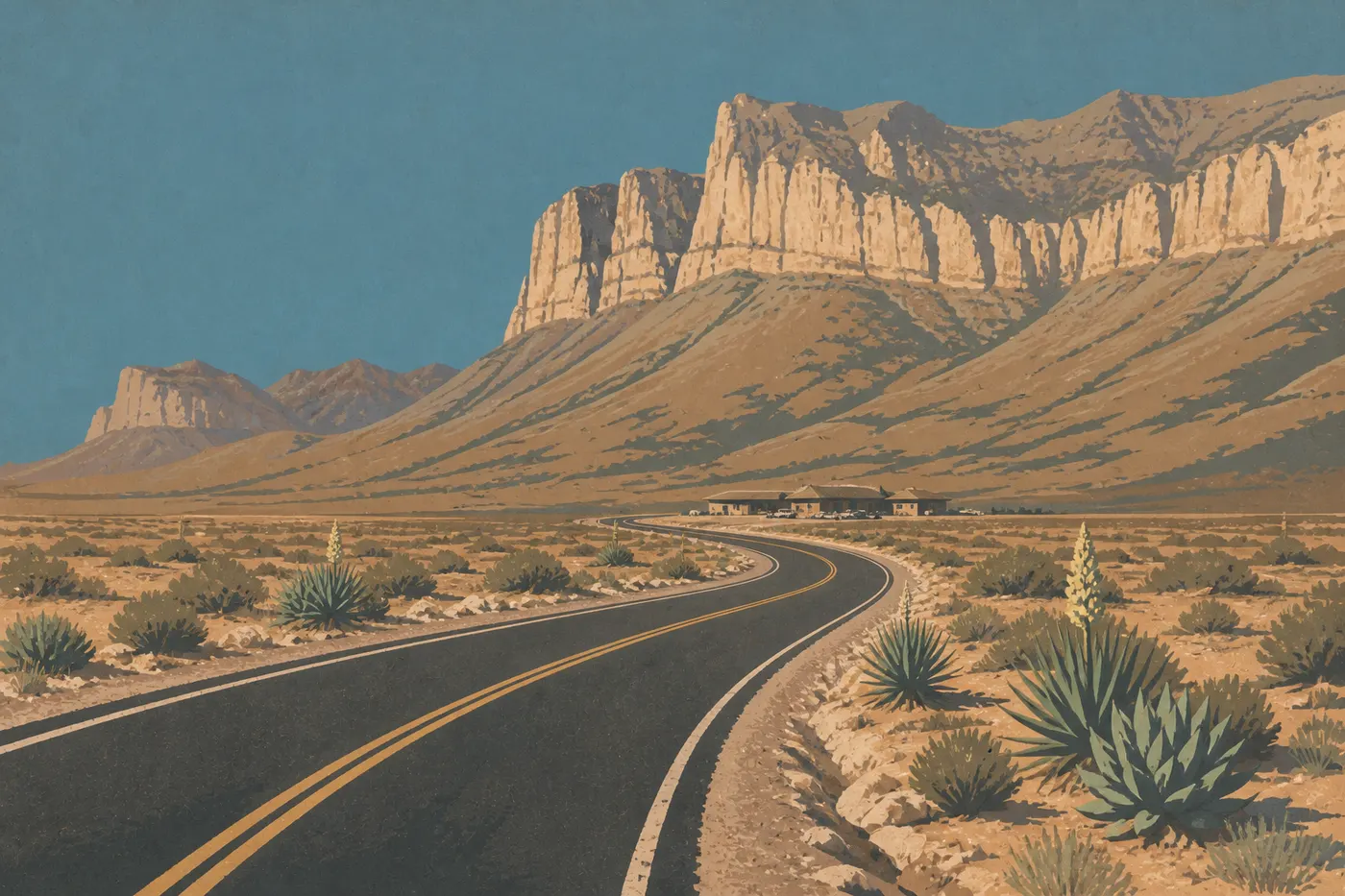
Getting Around Guadalupe Mountains: Access, Entrances, Roads, and Parking
Guadalupe Mountains has no internal shuttle service. A personal vehicle is the only way to reach the park and get between its four areas, which aren't connected by an internal road.
Visits work as out-and-back trips from each parking area: park at the area's entrance, explore on foot, then leave. It sounds simple, but a few things need to be sorted out before you leave El Paso. The access road to Salt Basin Dunes becomes impassable as soon as it rains, parking lots fill up on spring weekends, and there are no gas stations inside the park.
How to Get to Guadalupe Mountains
A car is essential from El Paso (110 miles, about 1 hr 45 min), Carlsbad (35 miles), or Midland (168 miles). Detailed directions, the closest airport, and access roads are covered in the Guadalupe Mountains access guide.
Park Entrances
The park is organized around four independent access points: Pine Springs (the main entrance, open year-round), McKittrick Canyon (about 7 miles northeast on US 62/180, with a gravel parking lot), Dog Canyon (north, via NM 137, with several miles of unpaved road on the final stretches, about 62 miles from Pine Springs), and Salt Basin Dunes (west, with a clay road, for daytime use only from sunrise until 30 minutes after sunset, and impassable in rainy weather). For help choosing an entrance for your plans, see the Guadalupe Mountains access guide.
Getting Around the Park
By Car
This is the only way to travel between the areas. The park has no loop road through its interior, so getting from Pine Springs to McKittrick Canyon means going back out to US 62/180. Reaching Dog Canyon or Salt Basin Dunes requires a significant detour outside the park.
Follow the posted speed limits on the interior access roads. Pay close attention to crosswinds. The NPS reports that winds can exceed 60 mph in exposed areas. Tall vehicles and RVs need to take this into account.
No Shuttle Service
Guadalupe Mountains has no official shuttle service, either during the busy season or the off-season. That's not a shortcoming. The park sees moderate visitation, and its areas are spread across a large territory. In practice, that means trails are much less crowded than those at Zion or Grand Canyon.
On Foot and by Bike
Within each area, you'll visit entirely on foot. The trails are rocky and aren't designed for bikes. No bike path connects the parking areas. Biking isn't a practical way to visit this park.
Where to Park: Parking Areas and Regulations
Pine Springs: large paved parking lot in front of the Visitor Center, accessible with your entrance ticket or pass. RVs and vehicles with trailers have designated spaces. Arrive before 9 a.m. on spring weekends. Parking really does fill up during the busy season.
McKittrick Canyon: limited-capacity gravel parking lot. It can fill up quickly during the fall peak, usually in October. There is no additional fee beyond the entrance fee.
Dog Canyon: small parking area at the end of a long road. Visitation stays low during the week, so parking pressure is limited.
Salt Basin Dunes: informal parking area at the end of the dirt road, accessible during daylight hours only.
There is no additional paid parking inside the park. The entrance fee ($10 per person, or $35 for the park's annual pass) covers access to the parking areas. For entrance fees and national passes, see the National Parks Fees & Passes page.
Distances and Drive Times Between Areas
The Guadalupe Mountains areas aren't connected by an internal road. You have to leave the park and use the external road network to get from one to another.
| Route | Distance | Estimated time |
|---|---|---|
| Pine Springs > McKittrick Canyon | about 7 miles | about 10 min |
| Pine Springs > Salt Basin Dunes | about 34 miles | about 50 min |
| Pine Springs > Dog Canyon | about 62 miles | about 1.5 hours |
These times assume good weather and passable roads. The road to Salt Basin Dunes may be impassable after rain, and the road to Dog Canyon includes unpaved sections. To build a practical itinerary for two or three days, see our Itinerary & Length of Stay guide.
Special Cases: RVs, Vans, Visitors with Disabilities, and Pets
RVs and vans: Pine Springs is accessible to RVs. The adjacent Pine Springs Campground accommodates motorized vehicles in designated sites. The road to Dog Canyon, however, isn't recommended for long vehicles. The clay road to Salt Basin Dunes isn't suitable for a typical RV. Check restrictions with the NPS before planning a visit to these areas. For RV sites and area-specific restrictions, see the Guadalupe Mountains RV guide.
Visitors with disabilities: the Pine Springs Visitor Center is accessible. The parking lot has designated spaces, and some picnic areas are accessible. The trails, however, are mostly unimproved rocky paths.
Pets: dogs are allowed in the park but must be kept on a leash no longer than 6 feet. They're allowed in certain areas, including several trails, but aren't allowed in backcountry camping areas. Check the current restrictions on the NPS website before your visit, since they can change.
Practical Mobility Information: Fuel, Cell Service, and Apps
Fuel: there are no gas stations inside the park. Fill up before entering. The closest options are in Whites City, New Mexico, to the east, and Dell City, Texas, to the west.
Cell service: coverage is nearly nonexistent throughout most of the park, especially at higher elevations and in the canyons. Don't count on real-time GPS navigation or phone calls once you're inside. Download your maps and directions for offline use before entering.
NPS App: the official National Park Service app lets you download Guadalupe Mountains maps for offline use. It's free and useful, especially when paired with a paper map available at the Pine Springs Visitor Center.
Wind and weather: gusts regularly reach 60 mph along the ridges. During high winds, the NPS may officially advise against some high-elevation trails or temporarily close them. Check alerts before heading out on Guadalupe Peak. For complete seasonal information, see the Guadalupe Mountains weather guide.
Frequently Asked Questions
Can you drive through Guadalupe Mountains National Park?
No. The park has no through road connecting its areas. You reach each entrance from outside via US 62/180 or secondary roads, then explore on foot from the parking area.
How do you get around Guadalupe Mountains National Park?
A car is the only way to travel between the areas. Within each area, you'll explore on foot. The park has neither shuttle service nor bike paths.
Where can you park at Guadalupe Mountains National Park?
The main parking lot is at Pine Springs, in front of the Visitor Center. McKittrick Canyon and Dog Canyon each have their own limited-capacity parking lot. Salt Basin Dunes has an informal parking area at the end of the dirt road, open during daylight hours only.
Is there cell service in Guadalupe Mountains National Park?
No. Coverage is very limited or nonexistent throughout most of the park. Download your maps and directions for offline use before entering.
How much is admission to Guadalupe Mountains?
The fee is $10 per person entering on foot or by bike. School groups enter free. For entrance fees and annual passes, see the National Parks Fees & Passes page.
How long does it take to visit Guadalupe Mountains?
Two days comfortably cover Pine Springs and McKittrick Canyon. Three days let you add Dog Canyon or Salt Basin Dunes. Our Itinerary & Length of Stay guide offers plans suited to different trip lengths.