
What to Do in Guadalupe Mountains: Top Things to See
Guadalupe Mountains is one of the least-known national parks in the United States, and that's exactly what makes it one of the most rewarding places to visit in the American Southwest. There are no scenic drives, no crowds, and no scheduled show every hour. Here, the park reveals itself to people who walk. The limestone range rises above 8,500 feet, hiding a canyon that blazes with color in October, white gypsum dunes in the middle of the Chihuahuan Desert, and a high-elevation pine forest that nobody expects to find in Texas.
The park protects the remains of a 265-million-year-old Permian coral reef, exposed by erosion over time. This reef gives the walls of McKittrick Canyon their distinctive ocher and beige tones, and explains why geologists from around the world make the trip.
The three must-sees are climbing Guadalupe Peak, the highest point in Texas at 8,750 feet; hiking down McKittrick Canyon in the fall for the color; and driving to Salt Basin Dunes at sunset.
Guadalupe Mountains at a glance: areas, access, and getting around
The park sits in far west Texas along US 62/180, 110 miles east of El Paso. It's divided into four main areas, each accessed separately, with no paved road connecting them inside the park. You'll need your own vehicle to get from one to another.
Pine Springs is the park's operational hub. The visitor center, main campground, major trailheads (Guadalupe Peak, El Capitan, and Tejas), and trailhead parking are all concentrated here. It's the natural entry point for most visitors.
McKittrick Canyon has its own entrance station, about 3.7 miles east of Pine Springs on the same highway. The canyon opens on a seasonal schedule. Check that day's hours at the visitor center or online before you go.
Dog Canyon is the isolated, remote northern area. You can only reach it from New Mexico, via partly unpaved roads. Allow about two hours from Pine Springs, making this a detour you have to earn.
Salt Basin Dunes lie to the west, reached by a clay dirt road from a track that runs alongside US 62/180. The NPS is clear about this: the road becomes dangerously slippery in the rain. When conditions are wet, don't drive onto it, even in an SUV.
The park has no internal shuttle. The Guadalupe Mountains access guide covers road conditions for each area, changing opening hours, and recommendations for different types of vehicles.
How much time do you need to visit Guadalupe Mountains?
Two full days is the reasonable minimum for covering Pine Springs and McKittrick Canyon without rushing. Three days lets you add Salt Basin Dunes and, for more adventurous travelers, a night at Dog Canyon.
For a one-day visit, spend the morning in Pine Springs, hiking to Guadalupe Peak or walking toward El Capitan, then go to McKittrick Canyon in the afternoon. It's doable if you leave early, ideally at dawn from Pine Springs.
The day-by-day Guadalupe Mountains itinerary gives recommended departure times by season and hiking ability.
Guadalupe Mountains highlights, area by area
Pine Springs: the big peaks and the heart of the park
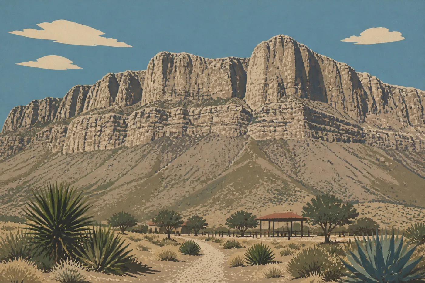
Pine Springs is home to the park's two signature climbs and the historic Pinery Ruins site.
Guadalupe Peak is the highest point in Texas at 8,750 feet. The round-trip trail is about 8.1 miles with roughly 2,950 feet of elevation gain. This isn't an easy hike. The trail climbs steadily along an exposed ridge with very little shade. At the top, you're rewarded with 360-degree views of the white salt basin to the west, the New Mexico ranges to the north, and the Texas plain to the east. Start early in the morning. Winds pick up around midday and can make the summit ridge uncomfortable, even dangerous. Gusts regularly top 59 mph throughout the park.
El Capitan is the park's other iconic landmark, a sheer limestone promontory at the southern end of the range that's visible from the highway for miles. The El Capitan Trail, about 9.3 miles round-trip from Pine Springs, circles its base through a sparsely visited landscape of desert and limestone rocks. It's longer and less strenuous than Guadalupe Peak, a good fit if you want the mileage without much elevation gain.
The Pinery Ruins are the remains of a Butterfield Overland Mail station, the stagecoach line that connected St. Louis and San Francisco in the mid-19th century. The dry-laid stone ruins are a few hundred yards from the Pine Springs parking area, with virtually no effort required. Allow 20 minutes for a useful bit of historical context before you hit the trails.
Pine Springs Visitor Center is worth a 20- to 30-minute stop before you hike. The NPS staff posts the day's trail conditions and wind alerts, which could keep you from getting caught halfway in a sandstorm.
McKittrick Canyon: the canyon ablaze with fall color
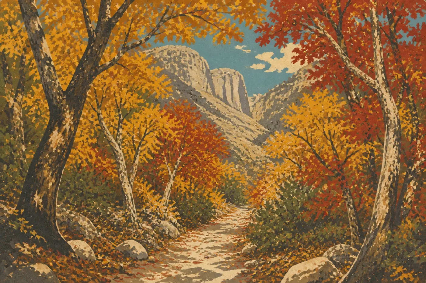
McKittrick Canyon is the park's postcard view. It's one of the few places in the Chihuahuan Desert with a year-round stream, allowing unexpected vegetation to thrive: bigtooth maples, walnuts, oaks, and wild mulberries. In October and early November, the whole canyon blazes orange, red, and gold against gray Permian limestone cliffs. The contrast is striking.
The canyon's main trail follows the creek on flat, shaded ground to the Pratt Lodge ruins, a stone house built in the 1920s by Wallace Pratt, an oil geologist who had the good sense to settle in this setting. Pratt eventually donated his property to the federal government, helping lead to the park's creation in 1972. The ruins are well preserved, and rangers sometimes give programs there.
Farther on, the trail climbs toward the Notch, a rocky pass with a sweeping view down the entire canyon. The climb is steeper, but the panorama of limestone layers and vegetation below is worth the effort.
Outside the fall season, McKittrick is still worth visiting. The tree shade and cool creek make it an ideal refuge on summer days, when Pine Springs bakes in temperatures of 95 to 100°F. Access follows a schedule, and the entrance station closes in the evening, so check current hours before you go.
Dog Canyon: the end of the world in the north
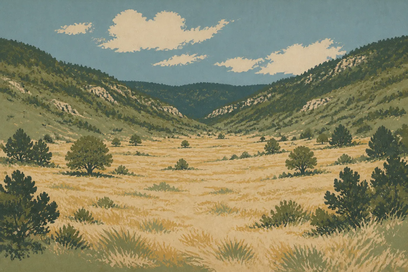
Dog Canyon is for people willing to take on the logistical challenge in exchange for solitude. The drive from Pine Springs passes through New Mexico and takes about two hours. The payoff is a tiny campground, nearly empty trailheads, and a genuine end-of-the-world atmosphere.
The elevation is higher here than at Pine Springs, so the vegetation is radically different: ponderosa pine and Gambel oak forests replace the Chihuahuan Desert. The Bush Mountain Trail climbs toward the high ridges, offering views that challenge everything you think you know about a Texas park.
This is also the best area for seeing large wildlife. Mule deer, elk, and black bears are much easier to spot here than at Pine Springs, simply because human pressure is nearly nonexistent. If you're looking for a quiet backcountry camp or a multiday loop between Dog Canyon and Pine Springs via the ridges, this is your area.
Salt Basin Dunes: gypsum dunes at sunset
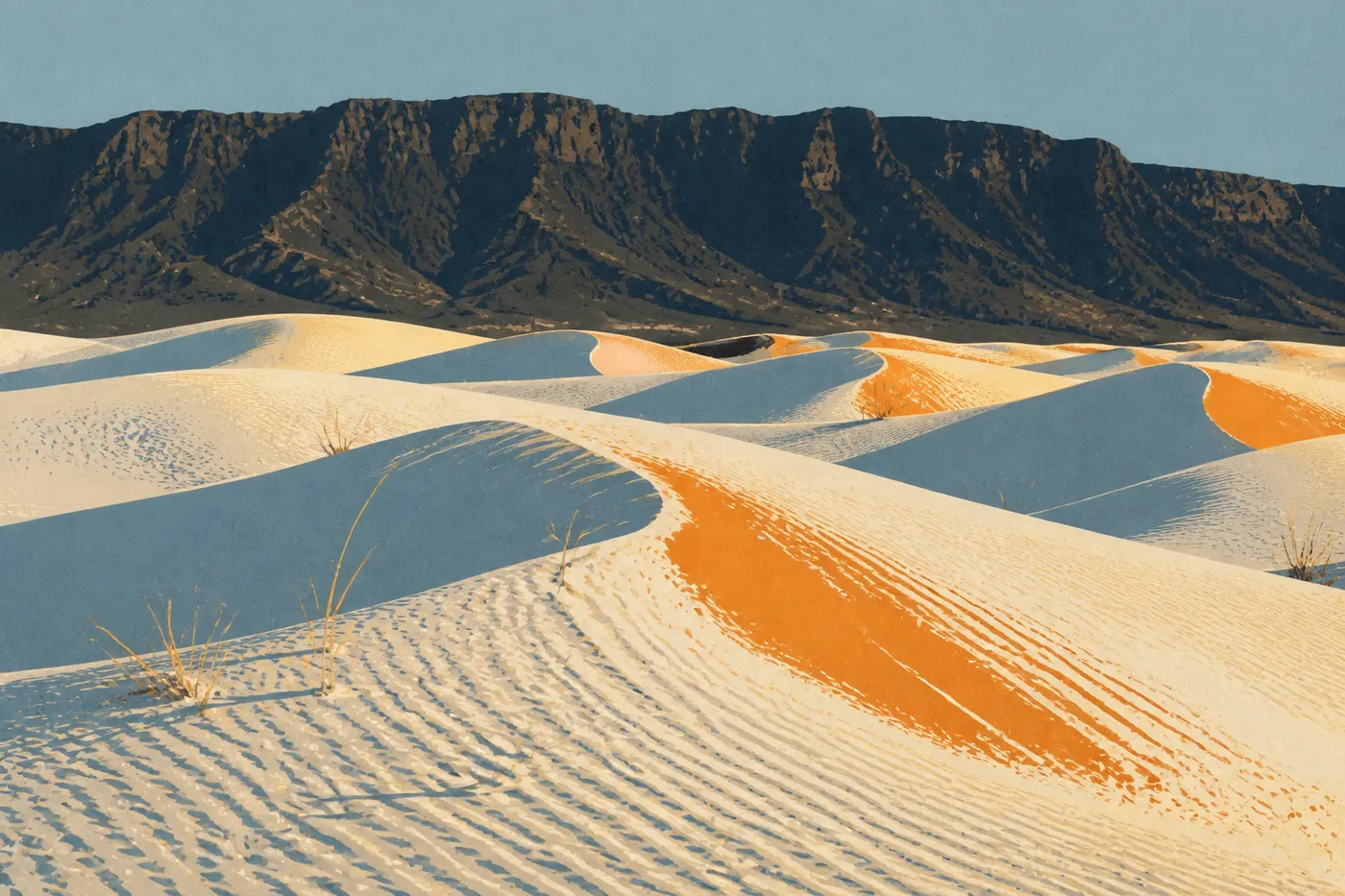
Salt Basin Dunes cover about 2,000 acres along the park's western edge, where the limestone range meets the Chihuahuan Desert's salt basin. These white gypsum dunes are the lesser-known little sisters of White Sands National Park, 81 miles to the northwest: smaller in scale, far less crowded, and especially charming late in the day.
The low light of golden hour brings out the shadows cast by the dune ridges across the white gypsum. The dark Guadalupe range in the background completes the scene. It's a rewarding photography experience with very little walking.
You reach the dunes via an unpaved clay dirt road. The NPS repeats the warning clearly: in rainy weather, the road becomes dangerously slippery and vehicles have gotten stuck. In dry conditions, any passenger car can make it without trouble. The area is open from sunrise until 30 minutes after sunset, and camping isn't allowed. Plan to visit in the afternoon.
The best hikes in Guadalupe Mountains
Guadalupe Mountains is, above all, a hiking park. There are no scenic roads or drive-up overlooks. Every site has to be earned on foot.
Trails are spread across the four areas. Pine Springs has the high-elevation trails, including Guadalupe Peak, El Capitan, Bush Mountain, and Tejas. McKittrick Canyon offers canyon-floor trails for beginners as well as more demanding climbs toward the Notch and the plateau. Dog Canyon provides long-distance connections to the ridges. Salt Basin Dunes are better for wandering than for a structured hike.
The required ability ranges from family walkers on the flat, shaded lower McKittrick Canyon to experienced hikers on Guadalupe Peak, with its exposure and significant elevation gain. The Guadalupe Mountains hiking guide lists every trail with distance, elevation gain, difficulty, and seasonal advice, so you can build an itinerary around your fitness and available time.
Other activities by interest
Wildlife watching
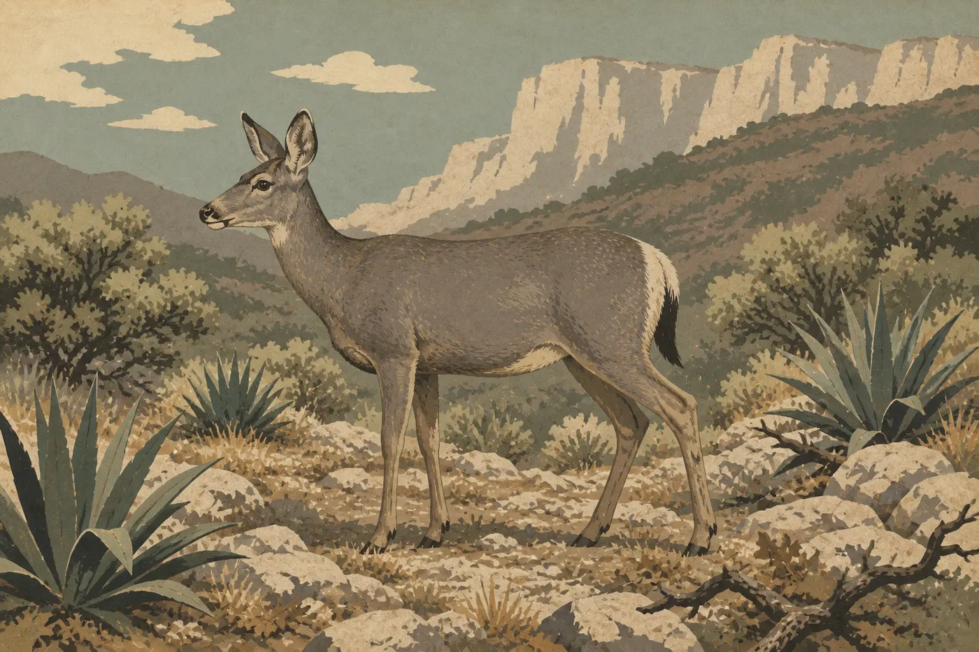
Guadalupe Mountains has more wildlife than the arid landscapes near the park entrance might suggest. Mule deer are the easiest to spot. You'll regularly see them around Pine Springs Campground, even during the day.
Elk frequent the higher-elevation forests and are easier to see at Dog Canyon, especially early in the morning. Black bears live in the park, mainly in the wooded areas above 6,600 feet. Encounters remain rare on the busiest trails, but the precautions always apply: keep all food out of your tent and vehicle, and store it in the campground's bear boxes.
Mountain lions live in the park, but a chance encounter is exceptionally rare. The ringtail (Bassariscus astutus), a small nocturnal mammal with a striped tail, hides among the rocky corners of McKittrick Canyon. It's hard to see during the day, but it's there.
Birders will find plenty to enjoy in McKittrick Canyon in spring, during songbird migration, and in the fall. The Guadalupe Mountains wildlife guide lists species by area and season, along with the best times to see them.
Stargazing and night skies
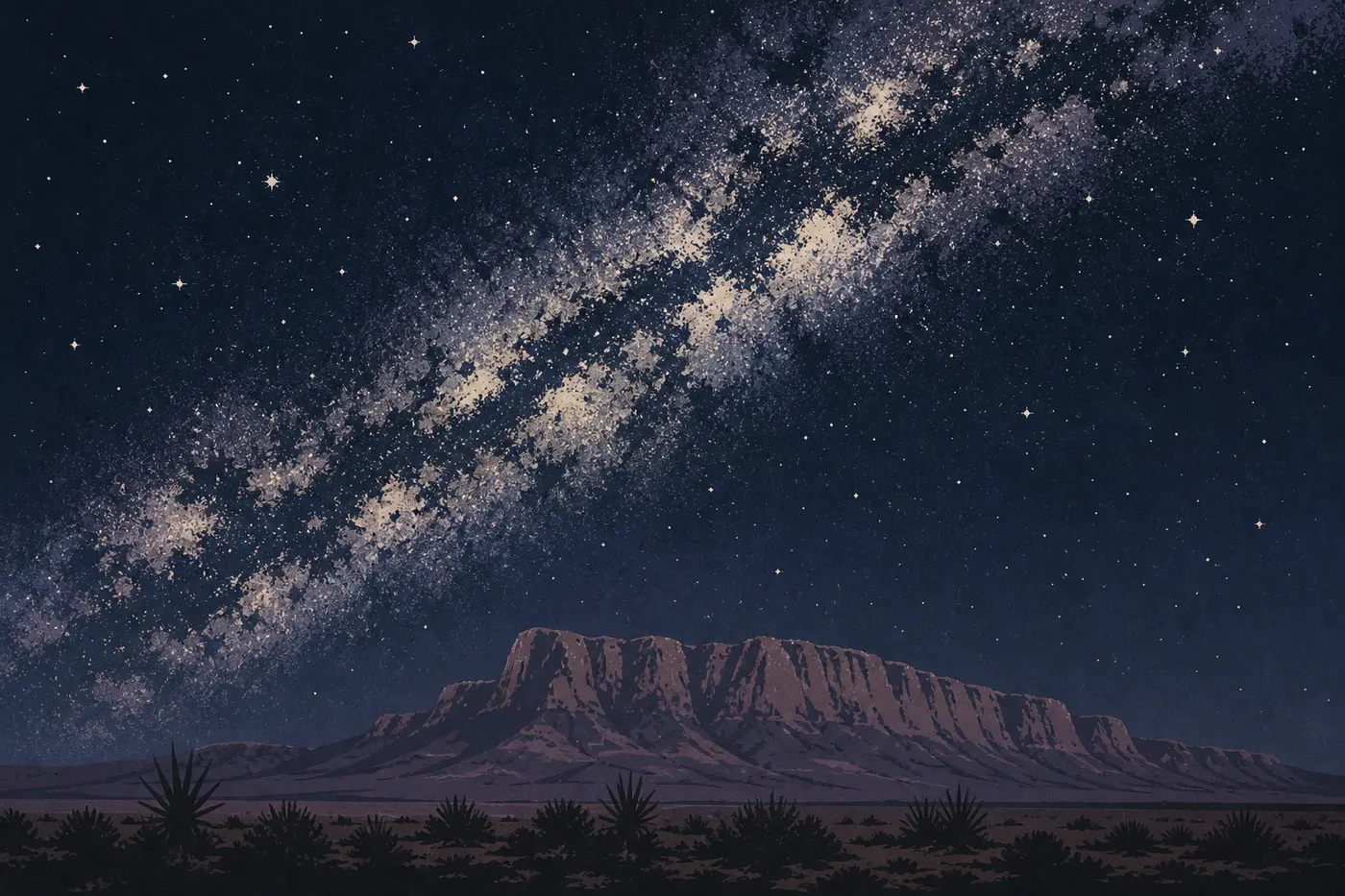
Guadalupe Mountains is one of the Texas parks least affected by light pollution. El Paso is 110 miles west, and the nearby towns to the east, including Van Horn and Pecos, are small. On moonless nights, you can see the Milky Way with the naked eye from Pine Springs, and even better from Dog Canyon.
You don't need specialized equipment to get started. A lounge chair, blanket, and a stargazing app are enough. Fall evenings are ideal: temperatures stay comfortable, and the desert's dry air offers remarkable atmospheric clarity.
Landscape photography
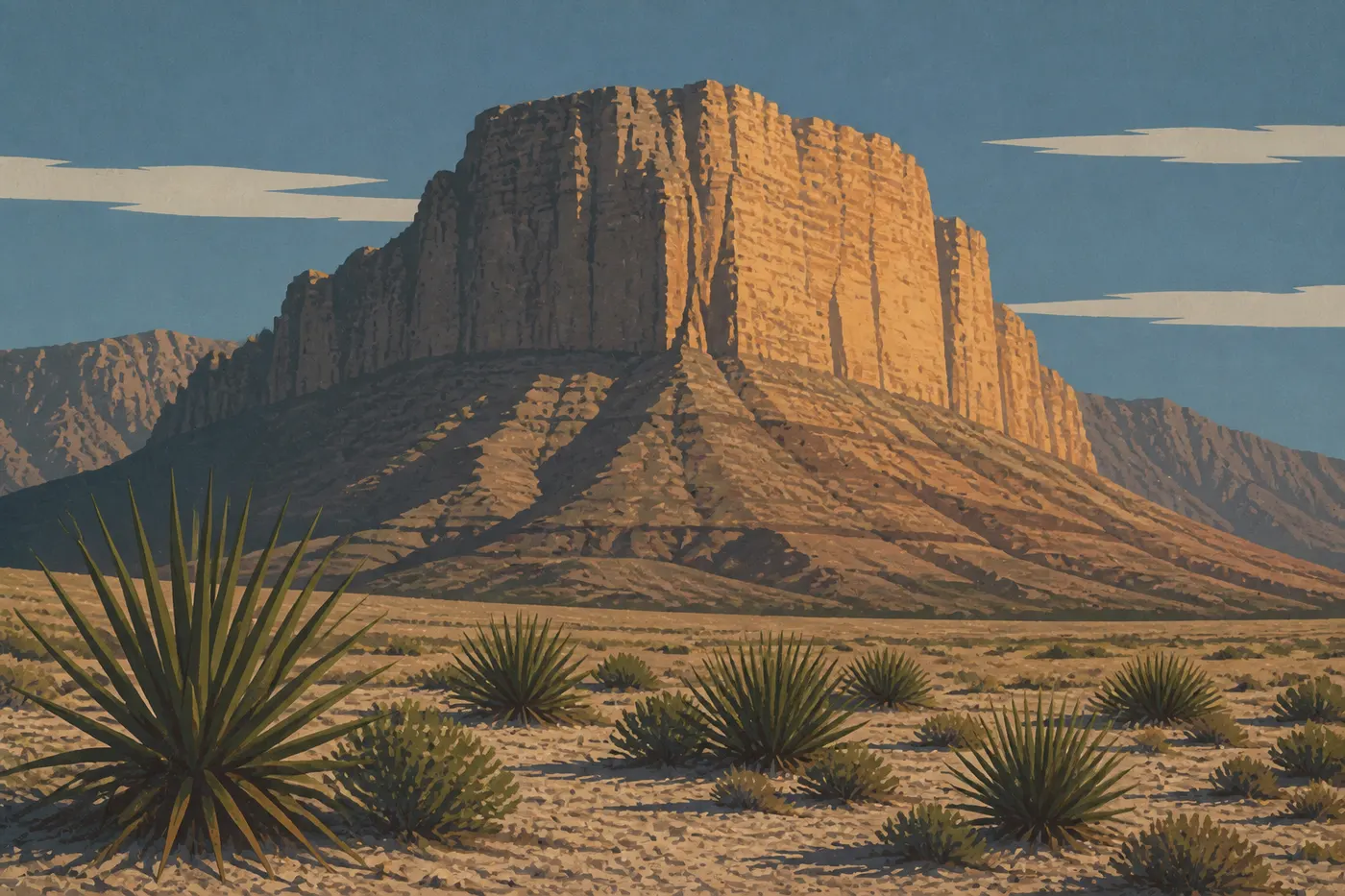
Two photographic opportunities stand out. The first is McKittrick Canyon in October, where fall color against gray limestone cliffs produces images you won't get anywhere else in Texas. The second is Salt Basin Dunes at golden hour, with low light on the white gypsum and the range's silhouette in the background.
El Capitan from US 62/180 in the morning light also offers a classic, effective composition without requiring a hike.
Visiting with kids
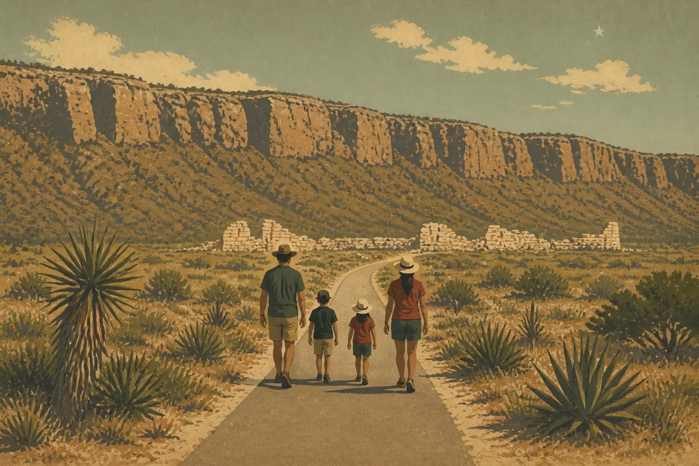
Guadalupe Mountains isn't a park built around immediate visual thrills. But families with curious kids will find plenty to enjoy. Lower McKittrick Canyon, flat and lined by a creek, works for kids around 6 or 7. Pine Springs Visitor Center offers a Junior Ranger program with an activity booklet. The Pinery Ruins, a few minutes from the parking area, appeal to children interested in the history of the Old West.
The guide to visiting Guadalupe Mountains with kids covers age-appropriate trails and hazards specific to the park, including heat, wind, and rattlesnakes.
Things to do around Guadalupe Mountains
Guadalupe Mountains fits naturally into a Chihuahuan Desert road trip. The two nearby parks are essential stops.
Carlsbad Caverns National Park (New Mexico) is about 31 miles northeast via US 62/180. Carlsbad Caverns is the natural complement to Guadalupe Mountains: one park unfolds outdoors across the ridges, while the other goes underground into chambers filled with breathtaking stalagmites and stalactites. The flight of Brazilian free-tailed bats out of the cave at dusk from May through October is a spectacle in its own right. You can easily combine both parks over a weekend.
White Sands National Park (New Mexico) is about 81 miles northwest. This entire park of white gypsum dunes is on a different scale from Guadalupe's Salt Basin Dunes. Half a day is enough to get the highlights. It pairs well with a night in Alamogordo or Las Cruces.
El Paso, 110 miles west, is the main logistics hub for reaching the park, with an international airport, rental cars, and big-box stores where you can stock up before heading into the desert. It's worth noting that El Paso also has a cultural and food scene, especially along International Boundary, making it a pleasant stop at the beginning or end of a road trip.
Van Horn, about 40 miles east, is the closest town for gas, a truck-stop meal, and a basic motel. It's a convenient stopping point if you're coming from the east, including San Antonio, Midland, or Pecos.
For an 8- to 10-day road trip combining Guadalupe Mountains, Carlsbad Caverns, White Sands, and Big Bend, our Road Trip Guide offers itineraries with lodging and daily driving distances.
The essentials: what to see first in Guadalupe Mountains
Guadalupe Mountains rewards people who come to hike and observe, not just to take pictures from the car. That's its strength, and its limitation, depending on what you're looking for.
For one day, do McKittrick Canyon in the morning, when it's cooler and the light is better, then take in the view from the Pine Springs parking area with El Capitan in the late afternoon. It's understated, but it works.
For two days, make Guadalupe Peak your priority on the first morning, leaving before 7 a.m. to beat the wind and heat. Do McKittrick Canyon that afternoon or the next morning, then visit Salt Basin Dunes at sunset on day two.
For three days or more, Dog Canyon is worth the logistics. It's the wildest, quietest area and the best for wildlife. You sleep in a small-scale campground, hike through wooded ridges, and understand why some visitors talk about nothing else when they get home.
The park is worth the trip for hikers of all abilities, photographers, geology enthusiasts, stargazers, and anyone who finds the major parks of the American Southwest too crowded. It's less suitable if you're looking for a park you can tour from inside a vehicle.
Find admission fees, opening hours, safety rules, and all the thematic guides on the main Guadalupe Mountains page.
Frequently asked questions
How long should you spend in Guadalupe Mountains National Park?
Plan on two full days to visit Guadalupe Mountains comfortably and cover Pine Springs and McKittrick Canyon. Three days lets you add Salt Basin Dunes and Dog Canyon. One day is possible if you focus on a single area, but it requires careful planning and a very early start.
What is the highest peak in Texas?
The highest peak in Texas is Guadalupe Peak, located in Guadalupe Mountains National Park, at 8,750 feet. An approximately 8.1-mile round-trip trail from Pine Springs leads to the summit. The climb is strenuous but requires no special technical skills. It's an athletic hike, not mountaineering.
Are there mountains in Texas?
Yes. The Guadalupe Mountains range in far west Texas rises above 8,500 feet. It belongs to the Basin and Range geological province, which stretches from New Mexico to Mexico. It's one of the surprises this park has in store for visitors who picture Texas as flat, dry, and featureless.
Is the park open year-round?
Yes, the park is accessible year-round. Pine Springs, including the visitor center, campground, and trailheads, operates throughout the year. McKittrick Canyon has its own opening hours, which you should check by season. Salt Basin Dunes are accessible from sunrise until 30 minutes after sunset year-round. Winter sometimes brings light snow at higher elevations, but it rarely lasts. Wind remains the main hazard, with gusts over 59 mph possible in any season.
Do you need to reserve in advance to visit Guadalupe Mountains?
You don't need an advance reservation to enter the park. There is no timed entry reservation system at this time. Pine Springs Campground reservations are available online in advance during the busy spring and fall seasons. Dog Canyon is often available without a reservation. Our Camping page brings together reservation and availability information.
Can you see bears in Guadalupe Mountains?
Black bears live in the park, mainly at higher elevations and in the wooded areas of Dog Canyon and the ridges. Encounters on the busy Pine Springs trails remain rare. Standard precautions are required: store all food in the campground's bear boxes, never leave food in your car overnight, and keep all food out of your tent.