
Hiking in Gates of the Arctic: The Best Wilderness Routes for Every Experience Level
Gates of the Arctic is unlike any other American national park. There are no marked trails, signs, or trailhead parking lots here. The park covers more than 13,100 square miles of Arctic tundra, the Brooks Range, and wild river valleys accessible only by air or on foot from nearby communities.
The quick answer: If you only do one route, make it the hike up the North Fork Koyukuk River valley from Bettles toward the two peaks explorer Bob Marshall named the “Gates of the Arctic” during his expeditions in the 1930s, Frigid Crags and Boreal Mountain. For a less committing first taste, a day trip around a lake after a floatplane drop-off is a foundational experience. For experienced wilderness hikers, the approach to the Arrigetch Peaks is the park’s most spectacular destination.
How to Prepare for a Hike in Gates of the Arctic
No Trails: The Number One Rule to Understand
Gates of the Arctic is pure wilderness. No trails are marked or maintained. You’ll navigate with a topographic map, preferably at a 1:63,360 scale, and a compass. Before you do anything else, stop by the visitor center in Bettles or Coldfoot and share your itinerary. This check-in isn’t legally required, but it could save your life.
Permits and Rules
You don’t need a permit for a day hike or for camping in the backcountry. Camping is unrestricted, but follow Leave No Trace principles, set up at least 200 feet from any waterway, and vary your campsites so you don’t leave lasting marks on the tundra. See the park’s general guide for the complete regulations.
Safety: The Non-Negotiables
Wildlife is abundant and truly wild. Grizzlies live throughout the park. Carry bear spray at all times and keep it within reach, not buried at the bottom of your pack. Caribou migrate in large herds during the summer. It’s an impressive but unpredictable phenomenon that can change your travel plans. River crossings are the main hazard. The water is cold, sometimes 37 to 43°F in midsummer, fast after rainfall, and never crossed by bridges. Find the right place to cross. Wider sections are generally shallower. Loosen your pack straps before entering the water, and use a stick as a third point of contact.
Mosquitoes deserve a special mention. From mid-June through mid-August, they can make some areas nearly unbearable without full protection: lightweight pants, a lightweight jacket, a head net, and insect repellent with at least 30% DEET.
There’s no cell service anywhere in the park. A satellite communicator such as a Garmin inReach is essential, not optional.
Dogs
Dogs are allowed in the park. In a place frequented by grizzlies and wolves, they can attract predators or trigger unpredictable behavior. Think very carefully before bringing one.
The Best Wilderness Routes, Area by Area
Because Gates of the Arctic has no official trails, hikers plan their trips by geographic area. Each area is a valley or mountain range accessible from a separate entry point.
Koyukuk / Bettles Area: The Valley of the “Gates of the Arctic”
- Distance
- about 34 to 50 miles round-trip, depending on the drop-off point
- Elevation gain
- moderate (alluvial valley)
- Duration
- 4 to 8 days
- Difficulty
- difficult (wilderness)
- Type
- out-and-back
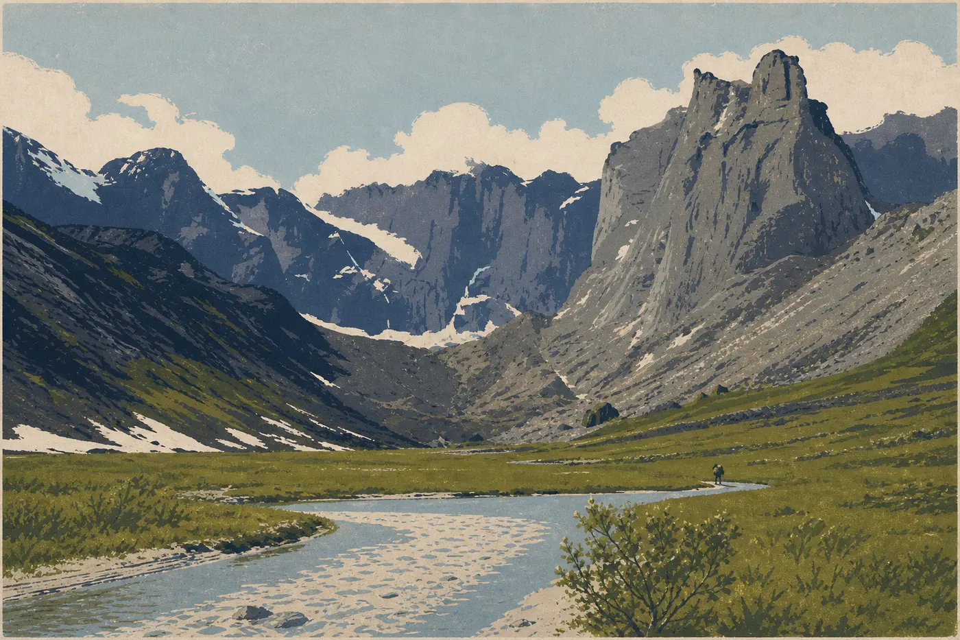
This is the park’s foundational route. You head up the North Fork valley, walking mostly on gravel bars, the easiest surface for making progress. Spruce forests gradually give way to alpine tundra, and the two peaks that gave the park its name rise at the far end of the valley. Start from Bettles, a village with daily air service from Fairbanks. The NPS visitor center there can give you an update on river conditions before you leave.
Seasonal tip: The ideal window runs from mid-July to early September, after peak mosquito season and before the first snow reaches the passes.
Arrigetch Peaks Area: Arctic Granite
- Distance
- 12 to 19 miles from the floatplane drop-off
- Elevation gain
- 1,300 to 2,600 feet, depending on the destination
- Duration
- 3 to 6 days
- Difficulty
- very difficult
- Type
- out-and-back
“Arrigetch” means “the outstretched fingers of the hand” in Alutiiq. The granite spires rising from the tundra fully live up to the name. Reach the area by floatplane on the Alatna River or Circle Lake, then follow the side valleys toward the base of the towers. The terrain combines tundra hiking over tussock grass, which is physically exhausting, with moraines and boulders. There’s no marked route here. You choose your valley and navigate by sight. Climbers will find high-quality rock climbing routes on the walls.
Access: Take a bush flight from Bettles or Fairbanks. Several companies offer this service. The Gates of the Arctic access guide lists air-service providers.
Atigun Pass / Dalton Highway Area: The Overland Entrance
- Distance
- 6 to 16 miles
- Elevation gain
- 1,000 to 2,300 feet
- Duration
- 1 to 3 days
- Difficulty
- moderate to difficult
- Type
- out-and-back
Atigun Pass, at about 4,740 feet, is the only point where the Dalton Highway comes close to the park’s eastern boundary. It’s the most affordable access point logistically. Park along the road, since there’s no official parking lot, cross into the park on foot, and follow the narrow valleys toward the Brooks Range ridges. Atigun Gorge, flanked by rock walls and cut by a swift river, makes a striking introduction to this landscape. Be careful: The valley floor can flood quickly after rain, even moderate rainfall.
Noatak Area: The Vastness of the West
- Distance
- variable, from 31 to 124 miles depending on the section
- Elevation gain
- easy (upper alluvial valley)
- Duration
- 7 to 20 days
- Difficulty
- difficult
- Type
- point-to-point
The Noatak River valley sees fewer visitors than the Koyukuk area. In a park that already receives very few visitors, that’s saying something. Access is by floatplane from Bettles or Fairbanks. The main draw is the sheer scale: days of hiking across open tundra without a trace of human presence, accompanied by migrating caribou herds and flights of tundra swans. This route is for highly experienced hikers comfortable with wilderness navigation and extended self-sufficient camping.
Accessible Hikes: Are There Options for Beginners?
The answer is no, if you mean “accessible” in the usual sense. Gates of the Arctic has no developed trail for a casual Sunday walker, and no outing here can honestly be called easy.
An introduction is still possible for fit hikers without extensive wilderness experience. The best option is a short outing, 3 to 6 miles, around a lake after a floatplane drop-off, on relatively flat terrain, with good gear and preferably a local guide. Bettles operators offer guided day trips, which are the least risky way to get an introduction to the park. If you’re traveling with kids, we recommend reading the Gates of the Arctic family guide before committing to a trip here.
Demanding Hikes: The Expeditions You’ll Remember
For experienced hikers who can navigate challenging terrain, Gates of the Arctic ranks among the world’s great wilderness hiking destinations. Two formats stand out.
North-south traverses in the Brooks Range, such as crossing from the North Slope to the Koyukuk valley, involve passes from 3,900 to 5,900 feet, rivers that regularly run high, and 10 to 20 days of self-sufficiency. Your gear needs to match the conditions: a four-season tent, since snowstorms are possible in mid-July, a certified bear-resistant food bag, and a redundant water-filtration system.
Climbing Mount Doonerak, at about 8,180 feet, the highest point in the Brooks Range within the park, is a full expedition in its own right. The approach through the North Fork valley takes several days by itself. The summit requires solid high-altitude experience and the ability to navigate without marked routes. To prepare for the weather conditions on these expeditions, see the Gates of the Arctic weather guide.
Access, Trailheads, and Parking
There are no true trailheads in the park. The two main gateways are as follows.
Bettles / Evansville: Reach this village by plane from Fairbanks, with a flight of about 1 hour. It has an NPS visitor center, an airstrip for floatplanes, and a few local outfitters offering guides and gear rentals. It’s the logistical hub for the Koyukuk and Arrigetch areas.
Coldfoot / Wiseman: These communities are on the Dalton Highway, about 250 miles north of Fairbanks. Coldfoot is the starting point for the Atigun Pass area, accessible by vehicle. There’s no official parking infrastructure. A small NPS visitor center is located there.
Floatplane drop-offs: For the Noatak and Arrigetch areas and the interior lakes, a flight is the only option. Companies based in Bettles or Fairbanks operate these flights by reservation. Build in several weather days. Flights are often postponed, sometimes for several days in a row.
For detailed logistics, see our Access & Transportation page and our complete park guide.
When Should You Hike in Gates of the Arctic?
The hiking season is short, from late June through mid-September. July and August bring the longest days, with nearly continuous daylight around the solstice, the mildest valley temperatures, from 50 to 68°F, and the most visible wildlife. Mid-July through late August is the best overall compromise between mosquito intensity, which peaks in June and July, and weather stability. September brings beautiful tundra colors and almost no mosquitoes, but the first snow can close the passes by the end of the month.
For a complete month-by-month analysis, see the When to Visit Gates of the Arctic guide.
Which Hike Should You Choose?
| Experience level | Recommendation |
|---|---|
| First wilderness experience | Guided day trip from Bettles (floatplane and lake, flat terrain) |
| Experienced hiker, 1 week | Koyukuk valley to the Gates, 5- to 7-day out-and-back |
| Climber or mountaineer | Arrigetch Peaks (Alatna approach, 4 to 7 days) |
| Road access (Dalton Highway) | Atigun Gorge, 1 to 3 days |
| Long expedition | Noatak River or Brooks Range traverse, 10 to 20 days |
| Family with young children | Not recommended (see the Family page for other Alaska parks) |
| Wildlife and caribou viewing | Open tundra, Koyukuk or Noatak area, August-September |
The park’s complete guide summarizes practical information that applies across the park, including lodging, budget, and general logistics, to round out your preparations.
Frequently Asked Questions
What’s the best hike in Gates of the Arctic?
The best hike in Gates of the Arctic is the route up the North Fork Koyukuk River valley from Bettles toward Frigid Crags and Boreal Mountain. It’s the park’s most iconic route, gradually gaining ground through the valley, and takes 5 to 8 days for an experienced hiker.
Is hiking in Gates of the Arctic difficult?
Hiking in Gates of the Arctic is inherently difficult. There are no marked trails, hiking over tussock grass is physically demanding, and unbridged rivers are the main technical hazard. Serious wilderness navigation experience is essential.
Is it safe to hike in Gates of the Arctic?
Hiking safely in Gates of the Arctic is entirely possible if you’re properly equipped and prepared. Grizzlies mean you must keep bear spray within reach at all times. Arctic weather changes quickly. With no cell service anywhere, a satellite communicator is non-negotiable. We strongly recommend checking in at the Bettles visitor center before entering the park.
Do you need a permit to hike in Gates of the Arctic?
You don’t need a permit for a day hike or backcountry camping in Gates of the Arctic. You should still check in at the visitor center before entering the park.
Are there easy or family-friendly hikes in Gates of the Arctic?
There are no truly easy hikes in the park. For an accessible first experience, guided day trips from Bettles are the best option. Families with children should consult our Family page for better-suited alternatives in other Alaska parks.
Can you hike with a dog in Gates of the Arctic?
Dogs are allowed in the park. In a place frequented by grizzlies and wolves, they can attract predators or provoke unpredictable reactions. Extra vigilance and keeping your dog leashed at all times are strongly recommended.
When is the best time to hike in Gates of the Arctic?
The best time to hike in Gates of the Arctic is from mid-July through mid-September, when mosquitoes are less intense, rivers are lower, and the weather is relatively stable. Our When to Visit page covers conditions month by month.
Are loop hikes possible in Gates of the Arctic?
Loop hikes are possible in Gates of the Arctic, but you’ll have to design them yourself with a map in hand. There are no marked loop trails. You build a loop by combining valleys, passes, and rivers according to your experience and self-sufficiency.
How do you access trailheads in Gates of the Arctic?
Access is either by plane from Fairbanks to Bettles, for the Koyukuk and Arrigetch areas, or via the Dalton Highway to Coldfoot or Atigun Pass, for the eastern area. Our Access & Transportation page has details on air carriers and road logistics.
Which routes are best for wildlife viewing in Gates of the Arctic?
Wildlife can be seen throughout the park, but the broad open valleys of the Koyukuk and Noatak offer the best opportunities to watch migrating caribou herds, especially from August through September. The Gates of the Arctic wildlife guide introduces the species found here and the behavior you should know.