
Getting Around Everglades National Park: Roads, Tram, and Parking
Everglades National Park isn't one continuous block of land. It's divided into three distinct sections, each with its own entrance, atmosphere, and way of getting around. The short answer is that you need a car to reach the park, and you'll mainly drive once you're inside, except at Shark Valley, where cars aren't allowed on the main loop.
For entrance fees and annual passes, the National Parks Fees & Passes page explains the costs and pass options. To plan your days in the park, the Everglades itineraries detail the possible combinations.
The three Everglades sections aren't connected by interior roads. To get from one to another, you'll have to leave the park and use the roads outside. For access from major cities and details about each entrance, see how to get to the Everglades.
Getting Around the Park
By Car
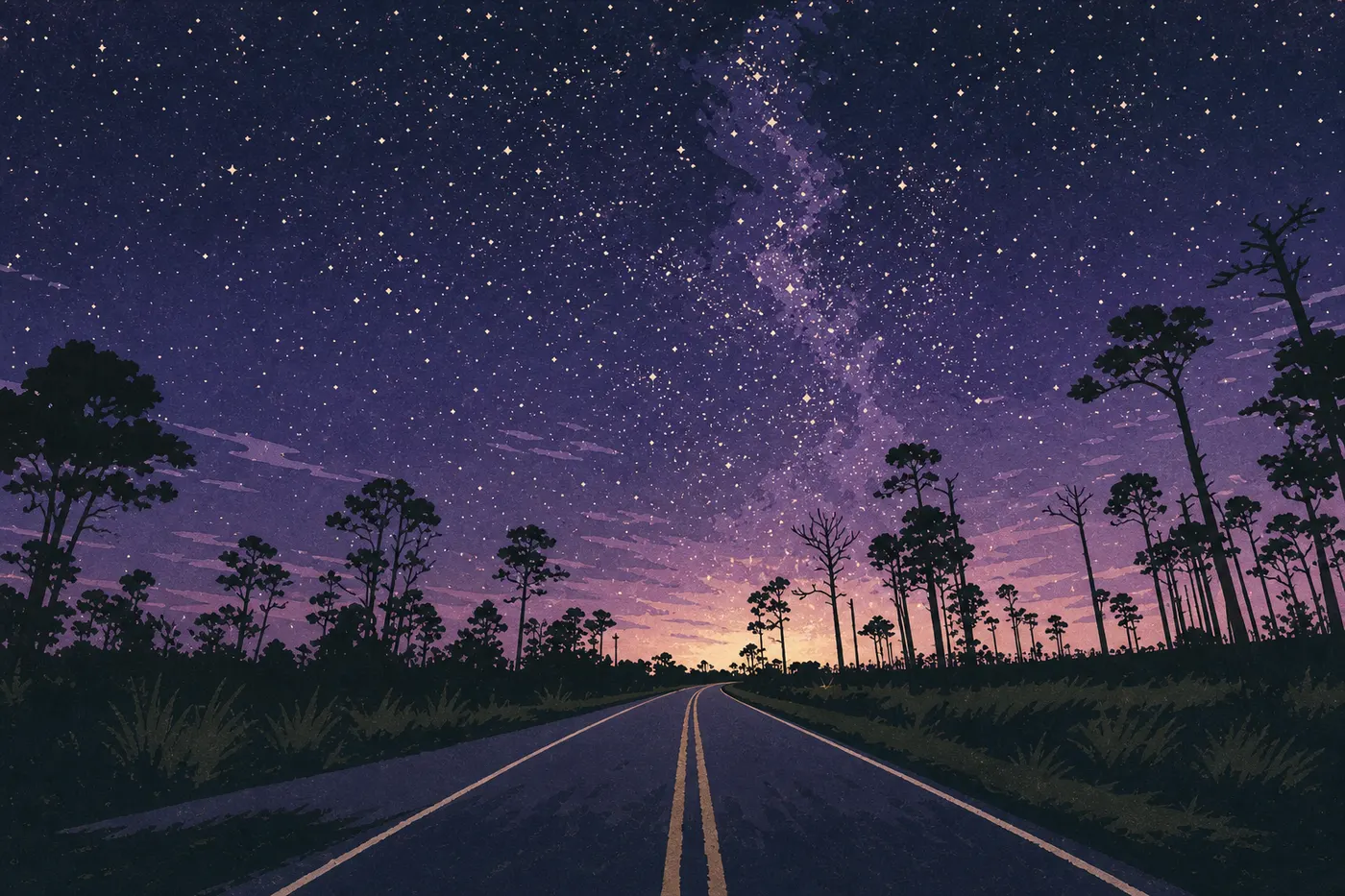
A car is the main way to get around the Ernest Coe and Gulf Coast sections. From the Ernest Coe entrance, Main Park Road (State Road 9336) runs about 62 miles to Flamingo, the southernmost point you can reach by vehicle, passing sawgrass prairies, mangroves, and hammocks along the way. Plan on 1.5 hours of nonstop driving. Allow twice that once you start stopping, and you will.
Observe the speed limits: 35 mph on Main Park Road and 25 mph near visitor centers. Alligators regularly cross the road, especially at dawn and dusk. If you stop to watch one, pull into a designated area and never get out on the traffic side.
By Tram (Shark Valley)
At Shark Valley, personal vehicles can't enter the central loop. The tram fills that gap with a 2-hour narrated tour along the 15-mile loop, including a stop at the observation tower in the middle. It's a practical option if you'd rather skip biking under the Florida sun.
The NPS doesn't operate any shuttle between sections. Between Ernest Coe, Shark Valley, and Everglades City, you'll need to get back in your car and use the roads outside the park.
By Bike
Shark Valley is the Everglades' biking hub: a flat, fully paved 15-mile loop with alligators along the trail that make the ride hard to forget. Bikes are available to rent on-site at the tram station.
In the Ernest Coe section, some trails allow bikes, but the 62-mile Main Park Road is long and exposed. Bring plenty of water and sun protection, and avoid the hottest part of the day.
Where to Park: Parking Areas and Spaces
Parking is included with the entrance fee in the Ernest Coe and Gulf Coast sections. At Shark Valley, parking costs extra.
Ernest F. Coe Visitor Center: Free parking with a decent amount of space. During the dry season, from December through April, it fills up in the morning. Arrive before 9 a.m. for the easiest parking.
Royal Palm (1.2 miles past Ernest Coe): A small, popular parking area and the starting point for the Anhinga Trail and Gumbo Limbo Trail. It fills by 8:30 a.m. during peak season. Start on a weekday or arrive very early in the morning.
Pa-hay-okee, Mahogany Hammock, and West Lake: Small parking areas with a few dozen spaces along Main Park Road. They rarely fill up except on peak weekends.
Flamingo: A larger parking area at the end of Main Park Road. When the intermediate parking areas are full, Flamingo is often still accessible. For the best times to visit during each season, the Everglades crowd calendar provides month-by-month guidance.
Shark Valley: Paid parking on top of the entrance fee. During peak season, it also fills before 10 a.m.
Distances and Drive Times Between Sections
The park covers about 2,400 square miles. Here are the key distances to keep in mind.
| Route | Distance | Approximate time |
|---|---|---|
| Ernest Coe → Flamingo | 62 miles (interior road) | 1.5 hours nonstop |
| Ernest Coe → Shark Valley | 109 miles via exterior roads | 2 hours |
| Shark Valley → Everglades City | 59 miles via US-41 | 1 hour 15 minutes |
These times don't include traffic. During peak season, US-41 can be busy on weekends between sections. To combine the sections in the right order, the Everglades itinerary guide offers practical plans based on how much time you have.
Special Cases: RVs, Accessibility, and Pets
RVs and vans: The Long Pine Key and Flamingo campgrounds accommodate RVs, with length restrictions that vary by site. Main Park Road, SR 9336, has no particular height restrictions. The Everglades RV guide covers everything you need to know about staying in a camper or RV.
Accessibility: The Shark Valley loop is fully paved and suitable for wheelchairs and strollers. The Gumbo Limbo Trail at Royal Palm is partially accessible. The visitor centers have accessible facilities.
Pets: Dogs and cats are allowed in the park only on paved areas, such as parking lots and roads, and in campgrounds. They must be leashed with a leash no longer than 6 feet. They are not allowed on any trails or in the backcountry. With Florida temperatures averaging 73 to 77°F year-round and running much higher in summer, never leave a pet alone in a parked vehicle.
Practical Transportation Info: Fuel, Cell Service, and Apps
Fuel: There are no gas stations inside the park. Be sure to fill up in Homestead or Florida City before entering through Ernest Coe. At Shark Valley, gas stations along US-41 are few and far between, so fill up in Miami. In Everglades City, you'll find stations along US-41 and in Naples.
Cell service: The signal disappears quickly after you enter the park. Don't count on online GPS or navigation apps once you're inside. Download offline maps from Google Maps, Maps.me, or AllTrails before leaving town. The Shark Valley observation tower and the Flamingo visitor center sometimes pick up a weak signal.
NPS app: The official National Park Service app offers downloadable Everglades maps, closure alerts, and trail conditions. It's free and recommended.
Frequently Asked Questions
How do you get around Everglades National Park?
You mainly get around the Everglades by car. Each section has its own road entrance, and Main Park Road runs 62 miles through the southern section to Flamingo. At Shark Valley, the 15-mile loop is reserved for bikes and trams. Personal vehicles aren't allowed on it.
Can you visit the Everglades by car?
Yes. Driving is possible and is also the most practical way to cover the southern section. Main Park Road runs from the Ernest Coe entrance to Flamingo, with plenty of developed stops along the way.
Where can you park in the Everglades?
Parking is free, meaning it's included with the entrance fee, in the Ernest Coe and Gulf Coast sections. The Royal Palm and Ernest F. Coe Visitor Center parking areas are the most popular, so arrive before 9 a.m. during peak season. Shark Valley has a separate paid parking area.
Which entrance is best for the Everglades?
The best entrance depends on your plans. Ernest Coe in Homestead is the most comprehensive choice for a first day exploring on land. Shark Valley is ideal for biking and close-up alligator viewing. Gulf Coast in Everglades City is the natural starting point for boat tours.
Is there cell service in the Everglades?
Cell service is nearly nonexistent across most of Everglades National Park. Download your maps and other information for offline use before entering, either from Homestead or along US-41.
How much does it cost to enter the Everglades?
For entrance fees and annual passes, see the National Parks Fees & Passes page.
How long does it take to visit the Everglades?
How much time you need depends on which sections you want to cover. The Everglades itinerary guide lays out combinations ranging from a focused half-day to several days exploring all three areas.