
What to Do in Big Bend: Must-See Sights and Activities
If you don't have time to read the rest, here's the short answer: there are three places you absolutely shouldn't miss. Santa Elena Canyon, with limestone walls rising 1,500 feet above the Rio Grande. Chisos Basin, the park's mountain heart, where you'll find the main hiking trails and temperatures 15 to 18°F cooler than the desert floor. And spend one night in the park to enjoy some of the darkest skies in the United States. Beyond that, Big Bend rewards visitors who linger. Plan on at least three days to see the essentials.
Big Bend at a Glance: Areas, Access, and Getting Around
Big Bend covers more than 1,250 square miles in the Chihuahuan Desert at the southwestern tip of Texas, along the Rio Grande, which forms the natural border with Mexico here. It's far from everywhere (250 miles from San Antonio and 342 miles from El Paso) and less visited than the major parks of the West. That's precisely what makes it special.
The park is divided into three main areas:
- The north area (Persimmon Gap): the park's northern gateway from Marathon via US 385, and your first look at the open desert.
- Chisos Basin (central): the park's mountains at about 5,900 feet, with the main lodging, the best-equipped campground, and the most popular trails.
- The southern and western areas: Rio Grande Village to the east, Castolon and Ross Maxwell Scenic Drive in the south-central part of the park, and Santa Elena Canyon to the southwest.
You can get around the park only by car (or by bike on roads and dirt roads). There is no shuttle or public transportation in the park. Fill up before you enter. The stations inside the park at Rio Grande Village and Panther Junction aren't open 24 hours a day. The main road network is paved. Old Maverick Road and some secondary roads require a high-clearance vehicle.
For full details on getting here from major cities and car rental options, see the Big Bend access guide.
How Much Time Do You Need to Visit Big Bend?
Two days is the bare minimum for the main sights, including Chisos Basin and Santa Elena Canyon. Three days let you add Rio Grande Village, a longer hike, and a night of camping for stargazing. Five days or more open up the canyons by kayak, the backcountry roads, and the chance to slow down and really take it in.
The park is open 24 hours a day, 365 days a year, with no timed entry reservation system. There is no timed entry requirement at this time.
For a day-by-day itinerary with distances and driving times between areas, see the Big Bend itinerary guide.
Big Bend's Must-See Sights by Area
Persimmon Gap: The Northern Gateway to the Chihuahuan Desert
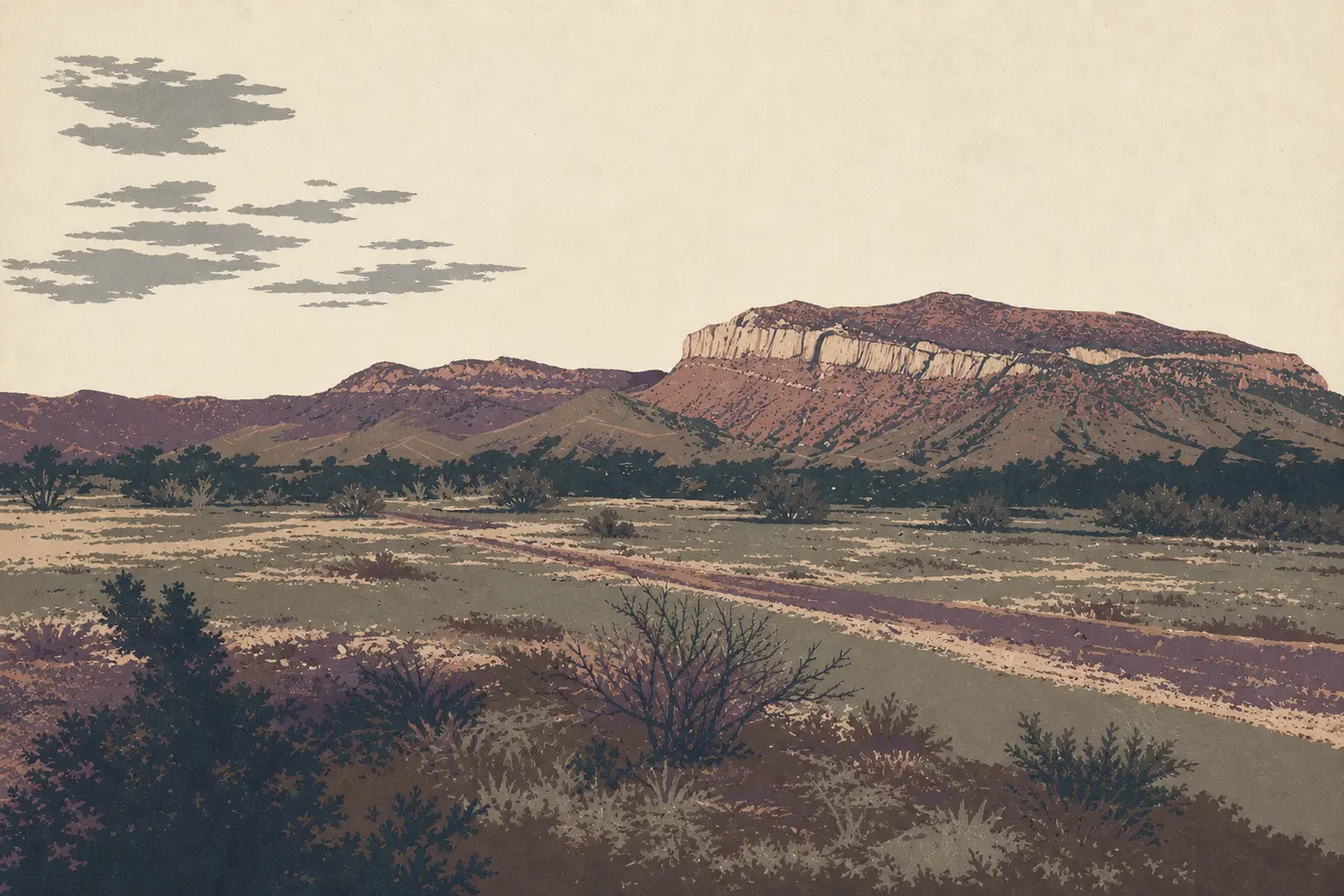
Seventy miles south of Marathon, Persimmon Gap is home to the park's northern visitor center. Small but useful, it provides maps and information about road conditions. The road south crosses a plain dominated by yuccas, agaves, and ocotillos, offering your first immersion in the Chihuahuan Desert.
The site takes its name from a gap in the mountains that the Comanche historically used as a raiding route into Mexico. The area's history comes through in the visitor center's interpretive panels.
This area is mainly a gateway. Allow 30 to 45 minutes before driving on to Chisos Basin, about an hour away.
Chisos Basin: The Park's Mountain Heart
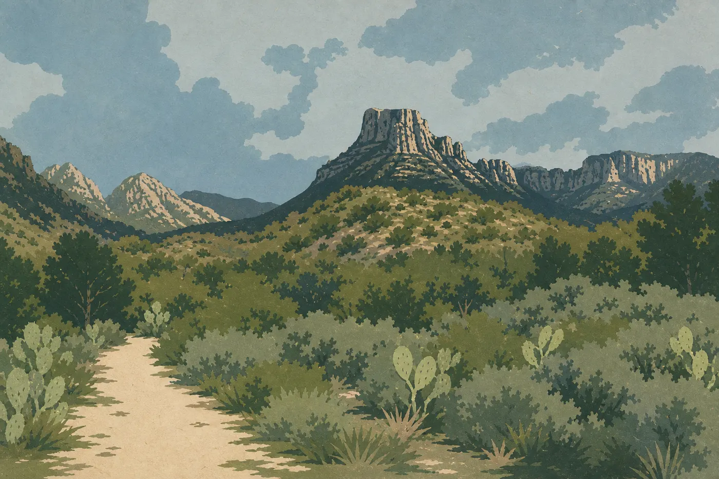
Chisos Basin is the heart of Big Bend. At about 5,900 feet, temperatures here are consistently 15 to 18°F cooler than on the desert floor. The Chisos Mountains form a natural enclosed basin, with ridges rising above 7,500 feet. This is where you'll find Chisos Mountains Lodge, the main developed campground, Chisos Basin Visitor Center, and the trailheads for the park's major hikes.
What to do here:
- Window View: a viewpoint overlooking the V-shaped opening in the rock to the west. It's especially good at sunset. The viewpoint is a 10-minute drive from the basin parking area.
- Hiking: the basin has the park's most popular and rewarding trails (see the next section).
- Wildlife watching: black bears, javelinas, white-tailed deer, and birdlife that includes rare Mexican species such as the Colima warbler and elegant trogon, which cross the border only in the Chisos.
Give the basin at least half a day, or a full day if you're planning serious hiking.
Ross Maxwell Scenic Drive and Castolon Historic District
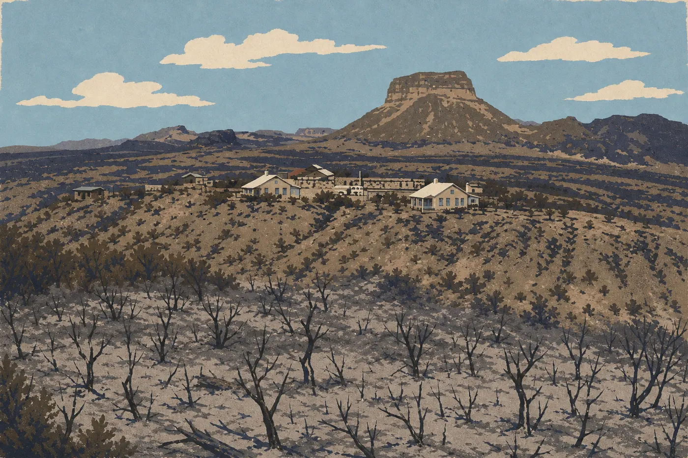
Ross Maxwell Scenic Drive is a 42-mile paved road that descends from the center of the park toward the Rio Grande, passing solidified volcanic flows, buttes, and rock formations sculpted by erosion. You can drive it in two hours without stopping, but that would be a shame.
Stops you shouldn't miss:
- Sotol Vista: a 360-degree panorama of the Chihuahuan Desert and the Chisos ridges to the east.
- Mule Ears Viewpoint: two vertical rock spires shaped like mule ears, among the park's most recognizable landmarks.
- Castolon Historic District: a former border trading post that is still operating, with a store where you can buy water and ice cream. The setting feels out of another era, and its location along the Rio Grande, with the Mexican cliffs across the river, makes it worth a stop.
The road ends at the Santa Elena Canyon parking area. Allow half a day for the whole drive.
Santa Elena Canyon: Along the Rio Grande Between Two Walls
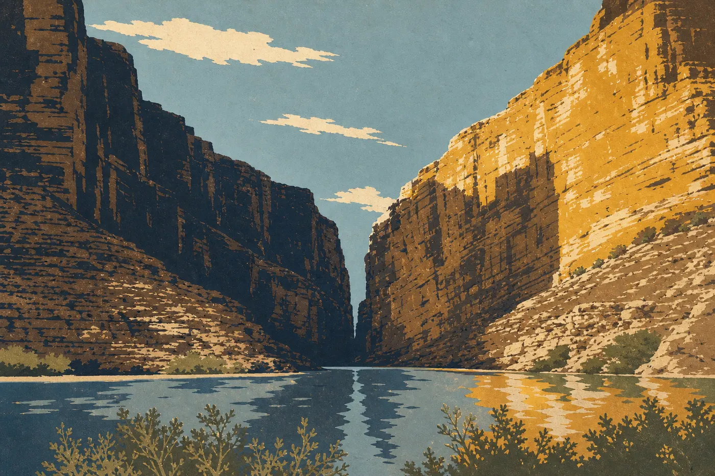
Santa Elena Canyon is Big Bend's signature sight. The Rio Grande cuts between two limestone cliffs that rise about 1,500 feet above the water. The north bank is in the United States and the south bank is in Mexico. In the late afternoon, the walls frame the light in a way that produces striking photos with very little effort.
A short trail, about 1.6 miles round-trip, starts at the parking area, crosses Terlingua Creek, and follows the American bank into the canyon. You'll walk at the base of the walls. Be careful during flood season, usually June through September, when Terlingua Creek can be difficult to cross. Check conditions at the visitor center before setting out.
Time on site: 1 to 2 hours.
Rio Grande Village: Hot Springs, Birds, and Boquillas Canyon
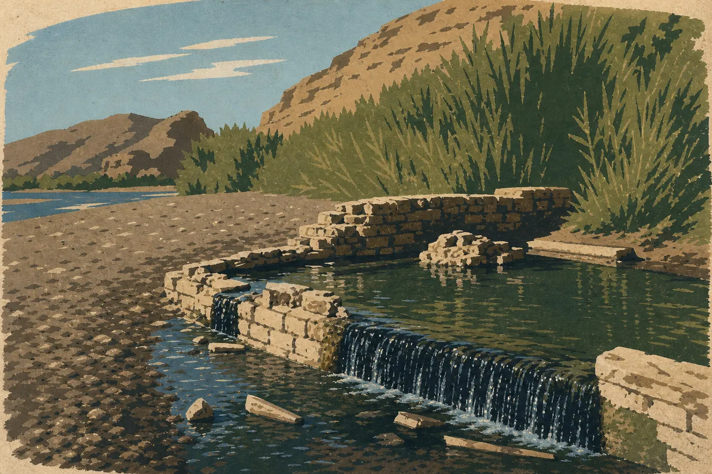
Rio Grande Village, at the eastern end of the park, is the greenest and most otherworldly area, with cottonwoods, reeds, and direct access to the river. It's also the best area for birding.
What to do here:
- Hot Springs Trail (1 mile round-trip): a very easy trail leading to natural hot springs, about 104°F, right along the Rio Grande. You can soak there. Sitting in a natural tub with Mexico across the river is a memorable experience, but conditions depend on the river level, so check with the visitor center before heading out.
- Boquillas Canyon Overlook: a short path leads to a viewpoint over the entrance to Boquillas Canyon. It's less famous than Santa Elena, but just as striking from the overlook.
- Rio Grande Village Nature Trail: a short interpretive trail through the river vegetation, excellent for birding, with warblers, herons, and spring migrants.
A store and gas station are available on site. Allow half a day.
Big Bend's Best Hikes
Big Bend is first and foremost a hiking park, and its trails are one of the main reasons to come. Trails range from a 30-minute walk to a multi-day backcountry trek.
Trails to know:
- Lost Mine Trail (4.7 miles round-trip, about 1,280 feet of elevation gain): views of Chisos Basin and the ridges from the summit. When we visited in March, it was the basin's most popular trail, and it's easy to see why. The effort-to-reward ratio is excellent.
- Window Trail (5 miles round-trip from the campground): a descent into the canyon toward the V-shaped opening. Easy on the way down, then uphill all the way back.
- South Rim (14 to 17 miles, depending on the route): the park's signature hike, with sweeping views from the ridges over the desert below. Fast hikers can do it in one long day, or you can take two days and spend a night in the backcountry. A wilderness permit is required and is available for free at visitor centers.
- Santa Elena Canyon Trail (1.6 miles round-trip): suitable for almost every ability level and reliably spectacular.
- Hot Springs Trail (1 mile round-trip): the easiest option, with hot springs as the reward.
For detailed descriptions, difficulty ratings, and trail-by-trail safety advice, see the Big Bend hiking guide.
Other Activities for Every Kind of Traveler
Stargazing
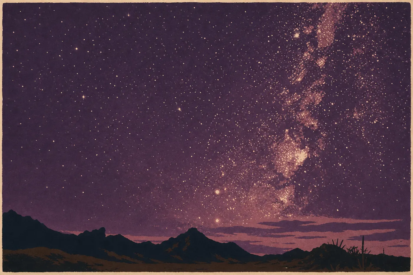
Big Bend is designated an International Dark-Sky Association (IDA) dark-sky park. It has some of the lowest light pollution in the United States. The nearest town with a significant population is more than 62 miles away. On a clear, moonless night, you can see the Milky Way with a sharpness that surprises even people who thought they knew it well.
Popular spots include the Rio Grande Village parking area, Chisos Basin, and any stop along Ross Maxwell Scenic Drive well away from the visitor center. Bring a ground pad, warm clothing (even in summer, nights cool quickly at elevation), and a red-light flashlight to preserve your night vision. The ranger program sometimes offers astronomy evenings, so ask when you arrive.
Birding
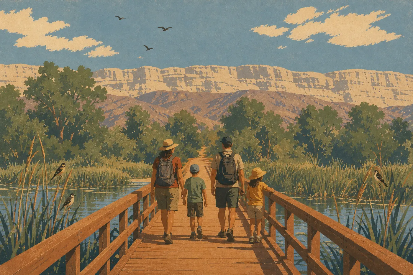
More than 450 bird species have been recorded in Big Bend National Park, making it one of Texas's best-known birding destinations. The park's special draw is that several Mexican species, including the Colima warbler and elegant trogon, cross the border only in the Chisos, attracting birders from across the country. Spring, especially April and May, is the busiest migration season. Rio Grande Village is the most productive area for river species.
For more on the park's wildlife, see the Big Bend wildlife guide.
Kayaking and Canoeing on the Rio Grande
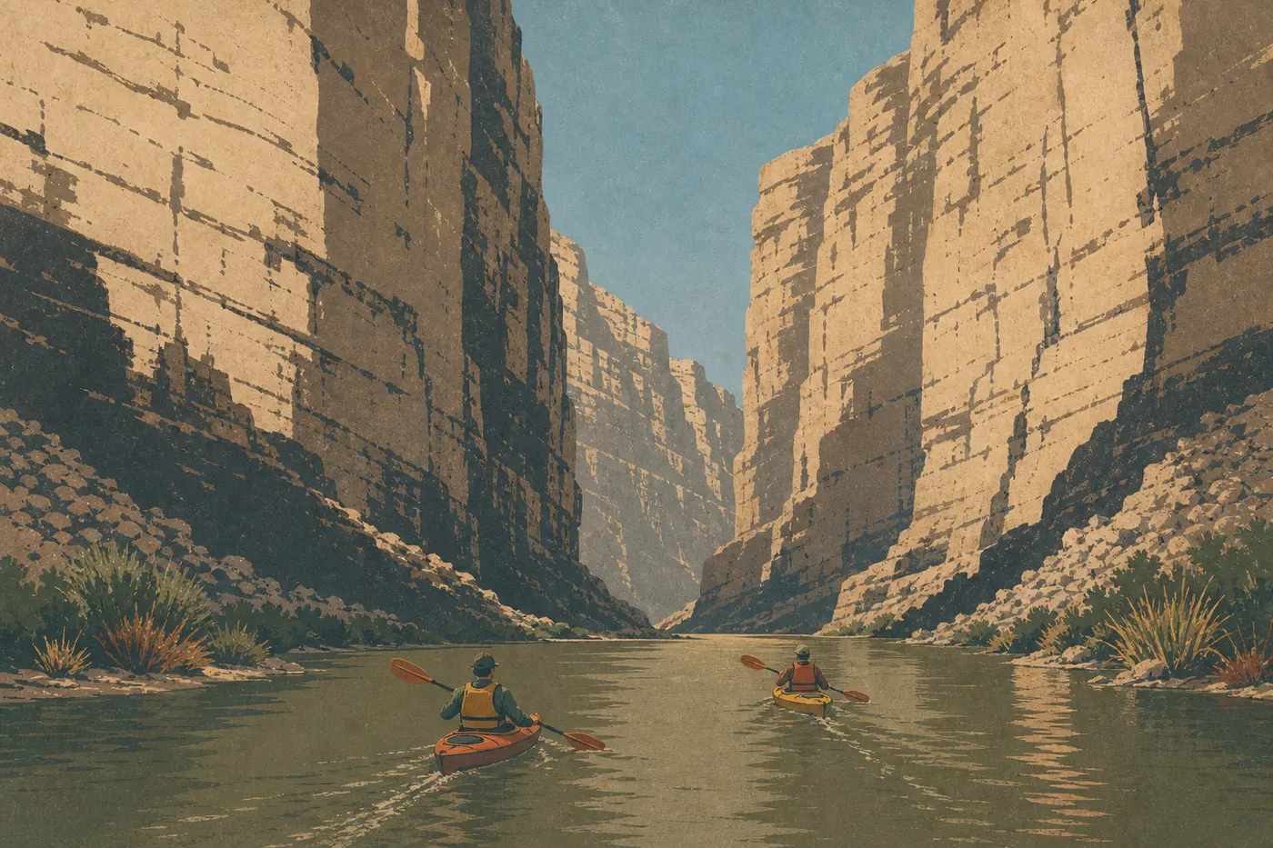
You can kayak or canoe several sections of the Rio Grande, including its three major canyons: Santa Elena, Mariscal, and Boquillas. Difficulty varies from calm water suitable for beginners to technical conditions during flood season. A wilderness permit is required to camp along the banks. It's free and available at visitor centers. Outfitters and guided tour operators are based in Terlingua, about 9 miles west of the main entrance.
Biking and Mountain Biking
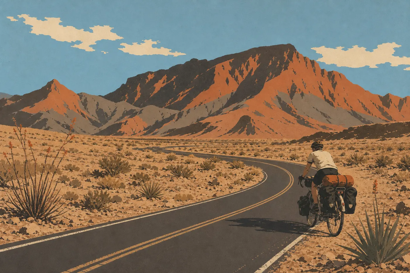
Bikes are allowed on all paved roads and dirt roads, but not on designated hiking trails. Old Maverick Road, an 18-mile unpaved round-trip route, is the most popular track for mountain bikers. The main challenge is the heat. Outside the winter months, set out before 8 a.m., carry at least 4 liters of water per person, and don't attempt a long ride without checking the weather.
Families
Big Bend requires real preparation for a family trip because of the long distances, heat, and isolation, but several activities work well for kids:
- Junior Ranger Program: available at visitor centers, it engages children ages 5 to 12 in observation and learning activities about the park. Pick up the booklet for free at the entrance.
- Santa Elena Canyon Trail and Hot Springs Trail: suitable for kids as young as 7 or 8 if they're in good shape and stay well hydrated.
- Nighttime stargazing: a shared family experience that makes an impression at any age.
For a complete itinerary designed for families with children, see the guide to visiting Big Bend with your family.
Things to Do Around Big Bend
Big Bend is geographically isolated, but the immediate area offers several worthwhile stops to add to a West Texas road trip.
Terlingua (about 8 miles west of the main entrance): a partly inhabited ghost town with an unapologetic end-of-the-world atmosphere, a few good restaurants, and rock bars at sunset. It's also the starting point for Rio Grande kayak outfitters. The Terlingua Chili Cook-Off, held every November, is a Texas institution.
Marfa (about 62 miles northwest): a small town known for its contemporary art galleries, Donald Judd's permanent installations, and the Marfa Lights, unexplained lights visible from an official overlook on US 67. The atmosphere is radically different from Big Bend.
Presidio and FM 170 (Camino del Rio): the road along the Rio Grande between Presidio and Study Butte is one of Texas's most popular scenic drives, with winding descents, deep valleys, and border towns. If you're arriving from the west, don't miss it.
Guadalupe Mountains National Park (about four hours northwest): Big Bend's mountainous counterpart, with Guadalupe Peak (8,750 feet, the highest point in Texas) and excellent trails. It's a worthwhile detour if your route heads toward El Paso or eastern New Mexico.
For road trips through West Texas and the border region, our Road Trip Guide and Regions section will offer suitable itineraries.
The Essentials: What to See First in Big Bend
Big Bend takes a real logistical effort to reach, and it pays you back many times over once you're there. The isolation is a strength, not a drawback: no crowds, no timed entry, and no packed shuttle at 7 a.m. Just desert, mountains, a river border, and a night sky that puts things back into perspective.
With two days: spend the first day in Chisos Basin, with Window View when you arrive and Lost Mine Trail the next morning, then drive Ross Maxwell Scenic Drive to Santa Elena Canyon in the afternoon. On the second day, visit Rio Grande Village and the hot springs in the morning, then return north through Persimmon Gap.
With three days or more: add a night of camping in the basin or along the Rio Grande, a day of kayaking on the river, and time to watch the sky after sunset.
The park is open year-round. July and August are punishing in the desert, where temperatures regularly exceed 100°F. We recommend March and April for mild weather and desert blooms, or October and November for ideal hiking conditions and fewer visitors. The Big Bend seasons guide compares every season in detail.
Frequently Asked Questions
What is there to do at Big Bend National Park?
Big Bend offers hiking in the Chisos Mountains, a visit to Santa Elena Canyon along the Rio Grande, stargazing in a certified dark-sky park, kayaking on the Rio Grande, birding with more than 450 recorded species, soaking in the natural hot springs at Rio Grande Village, and exploring the history of the U.S.-Mexico border in the park's historic districts.
How long do you need to visit Big Bend?
Plan on at least two days for the main sights, including Chisos Basin and Santa Elena Canyon. Three to five days allow for a complete visit with Rio Grande Village, the hot springs, and kayaking. Our Itinerary & Length page offers plans based on how much time you have.
Is Big Bend worth the trip?
Big Bend is worth the drive, even from distant cities such as San Antonio, four hours away, or Dallas, nine hours away. It's one of the least-visited national parks in the United States, offering a wilderness experience without the pressure of crowds. Santa Elena Canyon, the Chisos Basin trails, and the night sky are more than enough reason to go.
What are the must-see things to do in Big Bend?
Three absolute essentials are Santa Elena Canyon, with its 1.6-mile round-trip trail along the Rio Grande; a hike in Chisos Basin, with Lost Mine Trail for the views and Window Trail for the basin atmosphere; and one night in the park for stargazing. We also strongly recommend the hot springs at Rio Grande Village and Ross Maxwell Scenic Drive.
Which hike should you do in Big Bend?
Lost Mine Trail, a 4.7-mile round-trip hike with moderate elevation gain, offers some of the park's best views for the effort. South Rim, 14 to 17 miles, is the major trek, with sweeping views over the desert. For a short hike suitable for almost everyone, choose Santa Elena Canyon Trail, 1.6 miles, or Hot Springs Trail, 1 mile. Our Hiking page covers every trail and includes safety advice.
Can you swim at Big Bend?
You can soak in the natural hot springs at Rio Grande Village on Hot Springs Trail, where the water is about 104°F. You can reach the Rio Grande from its banks, but the current can be strong depending on the season and upstream rainfall. Check conditions at the visitor center before entering the water.
When should you go to Big Bend?
Spring, especially March and April, is the most pleasant season, with mild temperatures and desert blooms. Fall, especially October and November, is also excellent. Summer, particularly July and August, is very hot in the desert but remains manageable in Chisos Basin thanks to the elevation. Our When to Go page explains the pros and cons of each season.