
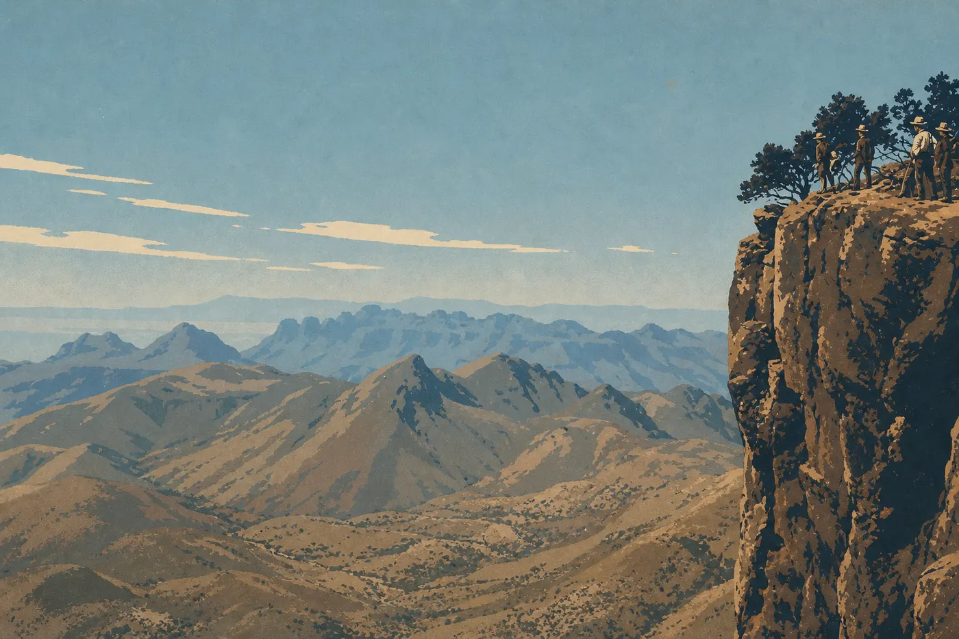
Big Bend Hiking: The Best Trails for Every Skill Level
Big Bend is remote, immense, and wild. It's also one of the most diverse national parks in the country for hikers, with the Chihuahuan Desert stretching to the horizon, Rio Grande canyons, and the Chisos Mountains rising above 7,500 feet. The scenery changes every hour, and sometimes every half hour.
If you only do one hike, make it the Lost Mine Trail. It's 4.8 miles round-trip from Chisos Basin, with 1,100 feet of elevation gain and 360-degree views across the park from the overlook. Most reasonably fit hikers can handle it. Two straightforward alternatives are the Window Trail for its funnel-shaped desert views, and the Santa Elena Canyon Trail if you'd rather walk through sand beneath 980-foot cliffs.
Get Ready for Your Big Bend Hike
Permits
Day hikes don't require any special permit. The park entrance fee, $30 per vehicle and valid for 7 days, is all you need. Any overnight stay outside developed campgrounds requires a free wilderness permit, available at the Panther Junction Visitor Center or Chisos Basin Visitor Center. During the busy season, from March through April, some backcountry areas have limited availability. Check ahead if you're planning to hike the South Rim.
Water: The 4-Liter Rule
This is the basic survival rule in the desert. Carry at least 4 liters per person for each day of hiking, and more from May through September. Potable water is available at the visitor centers and Chisos Basin Campground, but there's no reliable water source along almost all of the trails. Always set out with your containers full.
Heat and Safety
From May through August, the Big Bend desert regularly tops 100°F by 10 a.m. Here's what to do: set out before 7 a.m., wear a wide-brimmed hat, a light-colored long-sleeved shirt, and UV-protective sunglasses. If you feel dizzy or nauseated, or stop sweating, get into the shade immediately and call 911. Cell service is nearly nonexistent outside the visitor centers. Always leave your itinerary with a visitor center or someone you trust.
Wildlife to Watch For
Rattlesnakes turn up on rocky trails, especially at dawn and dusk. Watch where you put your feet and hands. Scorpions can crawl into shoes left outside overnight, so shake them out every morning before putting them on. Black bears live in the Chisos Mountains. Store your food in the lockers provided at campgrounds, and never feed wildlife.
Dogs
Dogs are prohibited on every trail in the park. They're allowed only in parking areas and on paved roads, where they must be leashed. If you're traveling with a pet, you'll find boarding facilities in Terlingua and Alpine.
The Best Hikes, Area by Area
Chisos Basin: The Mountain Heart of the Park
At 5,600 feet, Chisos Basin is 18 to 27°F cooler than the surrounding desert. It's the natural starting point for the park's most iconic trails.
Lost Mine Trail: 4.8 miles · +1,100 feet · 3 to 4 hours · moderate · out-and-back
The trail starts at the parking area near the Chisos Basin Road junction. It climbs steadily along a well-marked path to an overlook at 7,150 feet. You'll see the Sierra del Carmen in Mexico, Pine Canyon, and the entire basin. This is our top recommendation for anyone in intermediate shape or better. In March and April, arrive before 8 a.m. because the parking lot fills by 9.
Window Trail: 5.6 miles · +650 feet (downhill on the way in) · 3 to 4 hours · moderate · out-and-back
You can start from the amphitheater or from Chisos Basin Campground. The trail gradually descends to a rocky opening framed by two cliffs, known as the Window, where you look down onto the desert 980 feet below. Be warned: the entire return trip is uphill. It's beautiful in the late afternoon, when the low sunlight reaches the walls.
Emory Peak: 10.6 miles · +2,400 feet · 6 to 8 hours · difficult · out-and-back
Start at Chisos Basin Trailhead. At 7,825 feet, Emory Peak is the highest point in the park. The final 1,640 feet require easy scrambling, with your hands on the rock, but skip this hike if you're prone to vertigo. On a clear day, you can see all the way to Mexico's Sierra Madre Occidental.
South Rim Loop: 13 to 15 miles · +2,400 feet · 8 to 10 hours or 2 days · difficult · loop
This is the park's big hike. The South Rim overlooks Mexico from a ridge at 7,500 feet, with views stretching for hundreds of miles. A wilderness permit is required for any overnight stay on the trail. There are no water sources along the route, so carry 5 to 6 liters. We don't recommend doing the whole thing in one day from May through September.
Santa Elena Canyon and the Castolon Area
Santa Elena Canyon Trail: 1.7 miles · negligible elevation gain · 1 hour · easy · out-and-back
The trail begins at the end of Ross Maxwell Scenic Drive. It follows the Rio Grande through a 980-foot-high fissure cut into the Mesa de Anguila. A crossing of Terlingua Creek near the start can be tricky after rain, so check NPS alerts before you go. This hike offers the park's best payoff for minimal effort.
Rio Grande Village: Water, Birds, and Hot Springs
Hot Springs Historic Trail: 2.0 miles · flat · 1 hour · easy · out-and-back
Start at Hot Springs Historic Site, reached via Rio Grande Village Road. The trail passes the remains of a 1900s hot springs resort before reaching natural springs at 100°F on the bank of the Rio Grande. It's an unusual, pleasant stop that's especially appealing in winter. The opposite bank is in Mexico, at Boquillas del Carmen. Do not cross.
Boquillas Canyon Trail: 1.4 miles · flat · 45 minutes · easy · out-and-back
Start at Boquillas Canyon Trailhead, east of Rio Grande Village. A short initial climb leads to a sandy beach at the mouth of a canyon with ocher walls more than 490 feet high. The area is known for birding. More than 450 species have been recorded in the park, and most of them visit this riverside area.
Easy, Family-Friendly Hikes
Big Bend isn't an easygoing park in the usual sense. The heat and remoteness demand extra caution, even on flat trails. These trails work for kids 8 and older who are in good shape, as long as you start early and bring plenty of water.
Santa Elena Canyon Trail (1.7 miles): the best balance of effort and scenery for families. The canyon is spectacular enough that even kids who aren't excited about hiking will forget their hesitation within minutes.
Boquillas Canyon Trail (1.4 miles): sand, cliffs, and the Rio Grande. It's ideal for late afternoon and requires almost no physical effort.
Hot Springs Historic Trail (2.0 miles): short and flat, with historical signs along the way and the promise of a soak in hot springs at the end. It's educational and hands-on, which kids tend to enjoy.
Chisos Basin Loop (1.8 miles, from Chisos Basin Trailhead): a warm-up loop around the basin, suitable for young children or as a gentle way to start the day.
For practical details, including strollers, accessible campgrounds, and off-trail activities, see the Big Bend Family Guide.
Challenging and Full-Day Hikes
For hikers used to elevation gain and long days on the trail, Big Bend offers several substantial challenges.
Emory Peak is the signature full-day goal: 10.6 miles round-trip, 2,400 feet of elevation gain, and a final scramble that makes it more demanding. Start at 6 a.m. to reach the summit before the midday heat, and bring at least 4 liters of water.
South Rim Loop in one day (short version, 13 miles): technically doable, but grueling outside the cool season. We recommend it only for very well-trained hikers, from November through April.
Mule Ears Peaks Trail: 9.5 miles round-trip through open desert, with the two volcanic Mule Ears peaks as a constant landmark on the horizon. It's lightly traveled, quiet, and excellent for wide-angle landscape photography. Moderate in winter, it becomes strenuous as the heat rises.
For current conditions and active alerts, check official NPS updates before you leave.
Access, Trailheads, and Parking
Big Bend has no internal shuttle, so you'll need a personal vehicle to reach the trailheads. The distances between areas are long. Chisos Basin to Santa Elena Canyon is 39 miles, or about a 45-minute drive.
Chisos Basin Trailhead: reach it from Panther Junction via Chisos Basin Road, a 9.3-mile winding road not recommended for vehicles longer than 20 feet. Parking is free. Arrive before 8 a.m. in March and April.
Santa Elena Canyon Trailhead: at the end of Ross Maxwell Scenic Drive, 33 miles from Panther Junction. Free parking is available, with about 20 spaces. Check NPS alerts for current conditions at the Terlingua Creek crossing.
Rio Grande Village: 26 miles east of Panther Junction on a flat road. Free parking is available at Hot Springs Historic Site and Boquillas Canyon Trailhead.
For routes into the park from Alpine or Marathon, the Big Bend Access Guide covers the main approaches from nearby towns.
When to Hike in Big Bend
The best time to hike Big Bend is from November through April. Spring, from March through April, is the busy season, with mild lowland temperatures from 59 to 77°F, blooming cacti and yuccas. Fall, from October through November, is often quieter, with remarkable light for photography.
Summer, from May through August, is feasible only in the Chisos Mountains, where the elevation keeps temperatures manageable, provided you start very early. The low-elevation desert tops 100°F by 10 a.m. Trails such as Mule Ears and Santa Elena Canyon are best avoided from May through mid-September.
For a complete month-by-month overview, including rainfall, see the When to Visit Big Bend Guide, which breaks down conditions season by season.
Which Hike Is Right for You?
| Profile | Our recommendation |
|---|---|
| First visit, generally fit | Lost Mine Trail |
| Family with kids (8+) | Santa Elena Canyon Trail |
| Big views, good physical shape | South Rim Loop (2 days) |
| Summit and physical challenge | Emory Peak |
| Short and spectacular | Boquillas Canyon Trail + Hot Springs |
| Birding | Rio Grande Village (Boquillas Canyon) |
| Solitude and authentic desert | Mule Ears Peaks Trail |
| Planning the whole trip | Our Complete Big Bend Guide |
Frequently Asked Questions
Can you go hiking in Big Bend?
Yes. Hiking is the park's central activity. Big Bend offers more than 200 miles of marked trails, from one-hour family walks to multi-day backcountry loops.
What are the best hikes in Big Bend National Park?
The Lost Mine Trail is the standard recommendation: 4.8 miles round-trip, manageable if you're in good shape, with 360-degree views across the park from the overlook. For maximum scenery with minimal effort, Santa Elena Canyon Trail, at 1.7 miles, is hard to beat. Experienced hikers should look to the South Rim Loop and Emory Peak.
What's the most difficult hike in Big Bend?
The most difficult marked trail is the South Rim Loop, at 13 to 15 miles with 2,400 feet of elevation gain, especially when combined with the climb to Emory Peak. Backcountry treks through remote desert areas, such as the 13-mile Marufo Vega Trail loop, add even more isolation and exposure to the heat.
Is it safe to hike alone in Big Bend?
You can hike alone, but you'll need to take extra precautions. Leave a detailed itinerary with a visitor center or someone you trust, carry more water than you think you'll need, at least 4 liters, and remember that cell service is nearly nonexistent outside the visitor centers. It can take several hours for help to reach remote areas.
Do you need a permit to day hike in Big Bend?
No. Day hikes don't require a special permit. You only need the park entrance fee, $30 per vehicle and valid for 7 days. A free wilderness permit is required for any overnight stay outside developed campgrounds.
Are there easy, family-friendly hikes in Big Bend?
Yes. Santa Elena Canyon Trail (1.7 miles), Boquillas Canyon Trail (1.4 miles), and Hot Springs Historic Trail (2.0 miles) are manageable for kids in good shape, as long as you bring enough water and start early.
Can you hike with your dog in Big Bend?
No. Dogs are prohibited on every trail in the park. They're allowed only on paved roads and in parking areas, where they must be leashed.
Are there loop hikes in Big Bend?
Yes. The South Rim Loop, at 13 to 15 miles, is the park's signature loop. The 1.8-mile Chisos Basin Loop works well for beginners and families with young children.
What's the best time to hike in Big Bend?
November through April, with a preference for March and April, when cacti bloom and temperatures are mild, and October and November, when the park is quieter and the light is excellent. Summer hiking in the Chisos Mountains is still possible if you start very early. Avoid the lowland desert from May through September.