
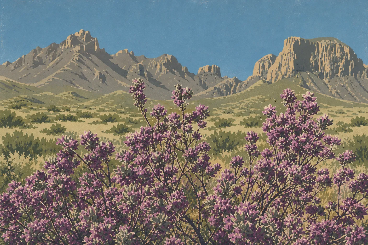
Big Bend National Park Map: Areas, Roads, and the Official Map
Big Bend National Park lies in the far southwest corner of Texas, along the Rio Grande, which forms the border with Mexico. The park covers more than 1,235 square miles of Chihuahuan Desert, canyons, and mountains, including the Chisos Mountains. It's a full day's drive from Dallas or Houston. The official NPS map is available as a free PDF on the National Park Service website. Download it before you leave, since cell service is almost nonexistent in the park.
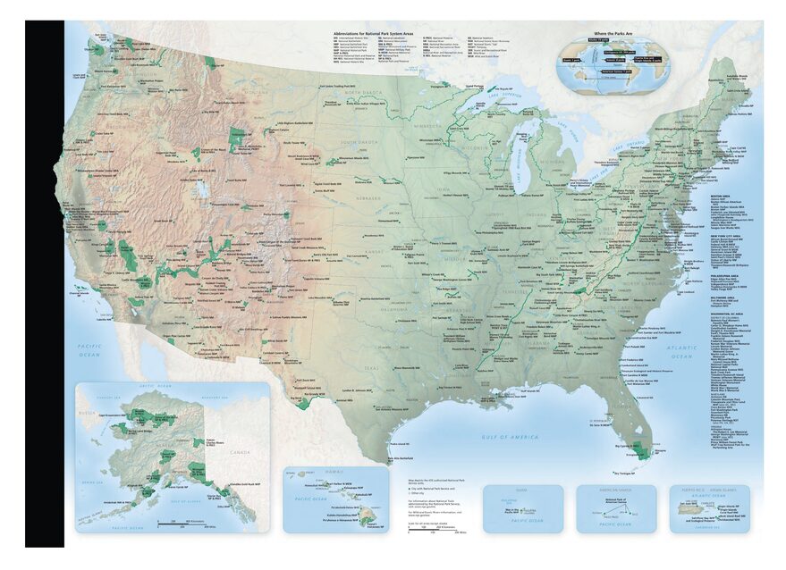
The official park map handed out at entrance stations, with roads, areas, visitor centers and services. View it here or download it for offline use.
Download the map (PDF) Public domain · National Park ServiceWhere Is Big Bend?
Big Bend occupies the Rio Grande's “big bend” in southwest Texas, on the border with the Mexican states of Chihuahua and Coahuila. The northern entrance at Persimmon Gap is about 71 miles south of Marathon, which you can reach via US 385 from San Antonio or Midland.
This isolated desert setting defines the park's character. There are no major roads or towns nearby, and light pollution is almost nonexistent. Big Bend is an International Dark Sky Park designated by the International Dark-Sky Association. On clear nights, the Milky Way is remarkably sharp.
To put Big Bend in context, it's part of the vast Chihuahuan Desert, which stretches into New Mexico and northern Mexico. The combination of desert, canyons, and mountains gives the park its distinctive landscape. Our complete Big Bend guide places the park in this broader context.
Download the Official Big Bend Map (NPS Unigrid)
The NPS publishes a free Unigrid map of Big Bend as a PDF. It covers the entire park, including paved roads, major unpaved roads, campgrounds, and main trails. It's the official reference map, and it's updated regularly.
Download it from the official NPS maps page before you leave the area with 4G coverage. Mobile data disappears well before the park's first entrance signs. Once printed and folded into quarters for your pocket, it can be more useful in the canyons than any GPS app.
Big Bend's Areas
Big Bend is divided into four distinct geographic areas. There are no shortcuts between them, so expect to drive dozens of miles on park roads at 35 to 50 mph.
Chisos Basin
The mountainous heart of the park sits at about 5,400 feet. Chisos Basin is home to the park's only lodge, a popular campground, the Chisos Basin Visitor Center, and trailheads for the main hikes. Temperatures are noticeably cooler than on the plains, making it a natural refuge during the hottest summer months. Keep in mind that vehicles longer than 20 feet are prohibited beyond the restriction sign at the entrance to the basin road.
The West Area: Castolon and Santa Elena Canyon
The road west gradually follows the Rio Grande through increasingly arid scenery. Castolon is a former border outpost that has been converted into a small park store. The area's highlight is Santa Elena Canyon, where the Rio Grande carved a gorge about 1,475 feet deep into the Mesa de Anguila. Mexico lies on the opposite bank.
The East Area: Rio Grande Village and Boquillas Canyon
Rio Grande Village has a campground, the park's only gas station, and access to the river crossing for Boquillas del Carmen, the Mexican village on the opposite bank. Boquillas Canyon is easier to reach on foot than Santa Elena and is often less crowded. It's a good choice if you're looking for peace and quiet. The Hot Springs are also in this area, along the Rio Grande.
The Northern Entrance: Persimmon Gap and the Desert
The main entrance from the Marathon side opens onto the Chihuahuan Desert. Expect flat terrain, low shrubs, and the silhouettes of giant cacti. The area is home to the Fossil Discovery Exhibit, an outdoor display about fossils found in the park. Panther Junction, the park headquarters, is about 25 miles south of Persimmon Gap.
Park Entrances and Internal Roads
Big Bend doesn't have a main loop road. Two major road accesses lead into the park:
- Persimmon Gap (north), on US 385 from Marathon, about 71 miles south.
- Study Butte (west), on TX 118 from Alpine or FM 170 from Presidio.
Internal roads connect Persimmon Gap to Panther Junction, then branch off toward Chisos Basin, Castolon and Santa Elena, and Rio Grande Village. The park is open 24 hours a day, 365 days a year, with no seasonal closures at the entrances. For driving rules on unpaved roads, including speed limits and vehicle requirements, see our Big Bend transportation guide.
For distances and fuel options before entering the park, see our guide to getting to Big Bend.
Map Landmarks to Find
Here are the landmarks to locate first on your map:
- Santa Elena Canyon (west area): The trail starts from the parking area along the Rio Grande, after a foot crossing whose feasibility depends on the water level.
- Window View (Chisos Basin): A short walk at sunset with views of the natural opening between the Chisos ridges.
- Lost Mine Trail (Chisos Basin): A climb with 360-degree views of the desert and surrounding peaks.
- Boquillas Canyon (east area): An easy trail where you're almost guaranteed quiet outside the busy season.
- Hot Springs (east area): Natural hot springs reached by an unpaved road from Rio Grande Village.
- Fossil Discovery Exhibit (north): An outdoor exhibit just steps from the Persimmon Gap entrance.
Things to do in Big Bend covers each experience in detail, and our Big Bend hiking guide covers the trails and their elevation profiles.
Nearest Towns and Airports
Big Bend is one of the most remote national parks in the United States. The nearest airports are Midland/Odessa (MAF, about 236 miles away) and El Paso (ELP, about 286 miles away), which has the best connections from Europe.
Hiking Maps and Paper Topographic Guides
The NPS Unigrid map works well for general orientation. If you're planning backcountry hikes, a dedicated topographic map is essential. A free permit is required for overnight stays outside official campgrounds.
- National Geographic Trails Illustrated No. 225 (Big Bend National Park): The standard map at a 1:80,000 scale, with water- and moisture-resistant materials.
- Specialist map retailers may stock these maps; check availability and delivery options to your location.
Frequently Asked Questions
Where is Big Bend National Park?
Big Bend National Park lies in the far southwest corner of Texas, along the Rio Grande, which forms the border with Mexico. The park is about 311 miles west of San Antonio and about 286 miles southeast of El Paso.
Is there an official Big Bend map to download?
Yes. The Big Bend Unigrid map is available as a free PDF on the NPS website. It covers the entire park, including roads, campgrounds, and main trails. Download it before entering because cell service is almost nonexistent in the park.
Can you drive across Big Bend?
You can drive through parts of Big Bend. Paved roads connect the three main areas via Panther Junction, but no road crosses the park from one side to the other. Allow at least two hours to drive from the northern entrance at Persimmon Gap to Santa Elena Canyon in the west area.
What is the best viewpoint in Big Bend?
Several spots stand out depending on your itinerary. Window View is ideal for sunset from Chisos Basin, Lost Mine Trail offers a 360-degree panorama, and Santa Elena Canyon has cliffs rising about 1,475 feet above the Rio Grande. Our Things to do in Big Bend guide compares them by accessibility and time required.
How long do you need to visit Big Bend?
Two days is the minimum for covering the three main areas. Three to four days gives you time to explore the park without rushing. Our Big Bend itinerary guide offers plans based on the time you have available.
What is the closest town to Big Bend?
Marathon, Texas, is the closest town to the main entrance at Persimmon Gap, about 71 miles north. Alpine, about 106 miles away, offers more services, including groceries, lodging, and medical care.