
Getting Around Big Bend: Access, Entrances, Shuttles, and Parking
Big Bend doesn't have a shuttle. It's one of the most remote national parks in the United States, and your car is the only practical way to get around. The short answer is simple: you'll need your own vehicle, there's no cell service, and you should fuel up before entering.
Before You Enter: Getting to Big Bend
Big Bend is one of the most remote parks in the United States. For airports, access roads, and towns where you can fill up before entering, the Big Bend access guide breaks down the routes based on your starting point.
Park Entrances and Which One to Choose
Big Bend National Park is open 24 hours a day, year-round, with no entrance gate or nighttime closure. You can enter or leave at any hour, which is convenient if you arrive late at night or leave before dawn to stargaze.
North entrance, Persimmon Gap: This is the main entrance from Marathon via US 385. A Visitor Center welcomes arriving visitors and offers a first look at the Chihuahuan Desert.
West entrance, Study Butte / Maverick: You can reach it from Alpine via TX 118 or from Presidio via FM 170. It puts you right on the road to Ross Maxwell Scenic Drive and Santa Elena Canyon.
Which one should you choose? If Chisos Basin and its mountain hikes are your priority, the north entrance is slightly faster. If you're heading for Ross Maxwell Scenic Drive or Santa Elena Canyon, enter from the west. Either way, you'll pass through Panther Junction, the park's central hub, where you'll find the main Visitor Center, gas station, and the latest on-the-ground information.
The entrance fee is $30 per vehicle. You'll find full details on passes and fees on our National Park Fees & Passes page.
Getting Around the Park
By Car
This is practically the only way to get around Big Bend. Paved main roads connect Panther Junction with the three major areas: Chisos Basin, Rio Grande Village, and Ross Maxwell Scenic Drive toward Santa Elena Canyon. The speed limit is 45 mph on the main roads and 25 mph in developed areas. Wildlife often crosses in the evening, so keep an eye out.
Some unpaved roads open access to the park's wildest areas:
- Old Maverick Road (about 13.7 miles): passable in dry weather with a high-clearance vehicle.
- River Road (about 51 miles, between Castolon and Rio Grande Village): difficult road; 4WD recommended, and water and a spare tire are required.
By Shuttle
There is no public shuttle in Big Bend. There is no equivalent of Zion's shuttle and no area bus. Every visitor needs their own vehicle.
By Bike
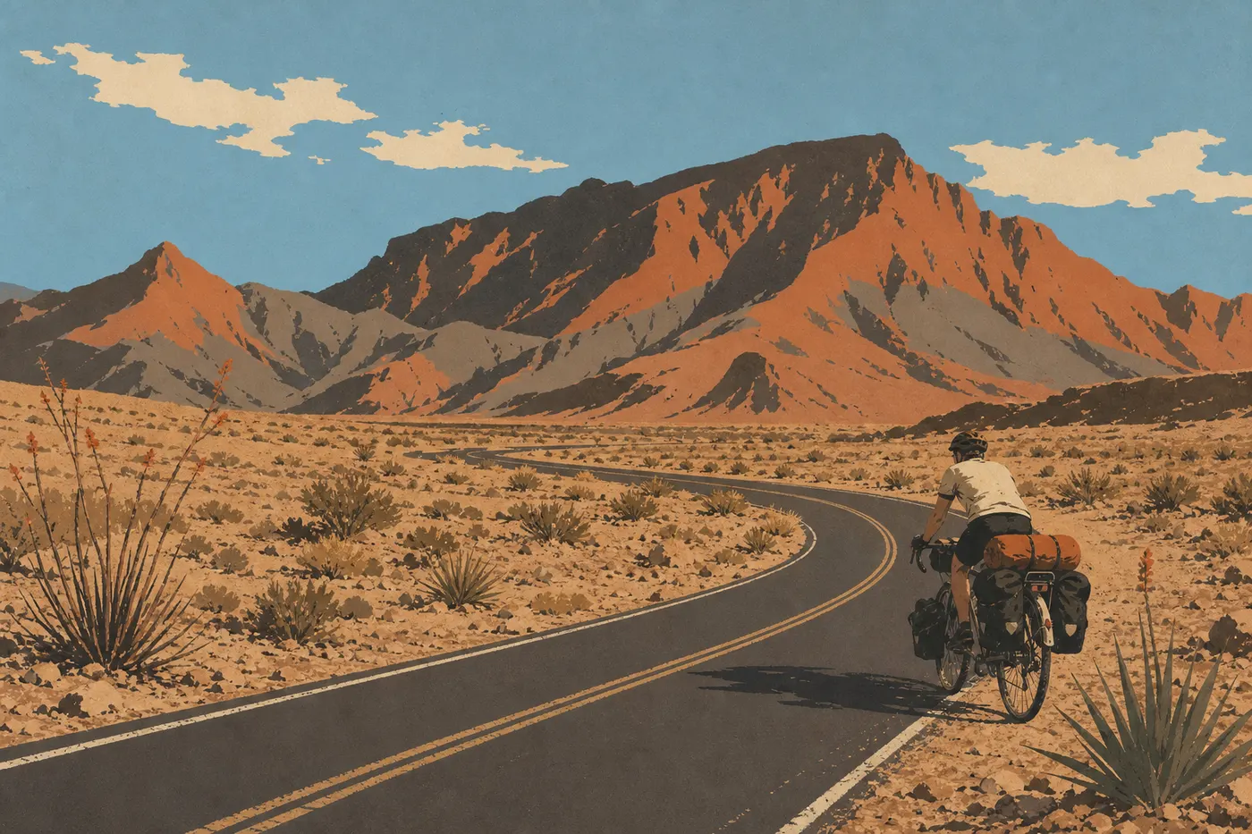
Bikes are allowed on all roads open to cars, as well as on some unpaved roads suitable for mountain bikes. The distances between areas, from 26 to 70 miles, and the extreme heat from May through September make cycling very demanding. The cool season, from November through March, is the only reasonable window. No bike rentals are available in the park, so bring your own equipment.
Where to Park: Parking Areas and Availability
Parking areas in Big Bend National Park are free, and reservations aren't required. It's first come, first served.
Chisos Basin: Central parking for all hikes in the basin, including Lost Mine Trail, Emory Peak, and the Window. During the busy seasons, in March and November, spaces fill before 9 a.m. Arrive early or plan your day accordingly.
Santa Elena Canyon: Small parking area at the end of Ross Maxwell Scenic Drive. It often fills up by midday in March.
Boquillas Canyon: Quieter and rarely full, except on spring weekends.
Rio Grande Village: Large parking area near the Visitor Center and campground. Availability is generally good.
Hot Springs: Access is via a 1.9-mile unpaved road from the main road. Spaces are limited.
Distances and Driving Times Between Areas
Big Bend covers about 1,251 square miles. Distances within the park come on top of the drive from the entrance, so they add up quickly.
| Route | Distance | Estimated time |
|---|---|---|
| Panther Junction → Chisos Basin | 8.1 miles | 20 min |
| Panther Junction → Rio Grande Village | 26 miles | 45 min |
| Panther Junction → Santa Elena Canyon | 34 miles | 1 hour |
| Study Butte → Panther Junction | 26 miles | 45 min |
| Marathon → Panther Junction | 70 miles | 1.5 hours |
You can visit all three major areas in one day, but it makes for a tight schedule. Plan on at least two days if you want to do any serious hiking. The Big Bend itinerary guide offers suggested plans based on the number of nights you have available.
Special Cases: RVs, Vans, Accessibility, and Pets
RVs and camper vans. The road to Chisos Basin is narrow and has tight turns. Vehicles longer than 24 feet aren't recommended on this stretch, and trailers longer than 20 feet aren't advised beyond Basin Junction. All other areas, including Ross Maxwell, Rio Grande Village, and Panther Junction, are accessible without vehicle-size restrictions. The Big Bend RV guide lists suitable sites and detailed restrictions.
Accessibility. The Panther Junction Visitor Center is wheelchair accessible. The Rio Grande Village Nature Trail includes about 0.6 miles of flat boardwalk. Facilities remain limited in this wild park, so check conditions on the official NPS website before you leave.
Pets. Dogs are allowed in the park on roads, in campgrounds, and in picnic areas, but they must be on a leash no longer than 6 feet. They're not allowed on hiking trails. In summer, never leave an animal in a parked vehicle. Interior temperatures can climb above 140°F in direct sun.
Getting Around: Fuel, Cell Service, and Apps
Fuel. There is one gas station at Panther Junction and another at Rio Grande Village, but their hours are limited and stockouts happen. Always fill up before entering the park. If you're planning to drive the remote roads, including River Road and Old Maverick Road, bring a gas can.
Cell service. It's practically nonexistent in the park. A few high points in the Chisos Mountains may pick up a sporadic signal, but it's not enough for navigation or calls. Download offline maps, using the NPS app or Maps.me, before you arrive. The Panther Junction Visitor Center has Wi-Fi access. Use it as soon as you arrive to sync your data and update park alerts.
In an emergency. Tell someone you trust your route and expected schedule before entering remote areas. The emergency network may work where regular service doesn't, but don't count on it.
Frequently Asked Questions
How do you get around Big Bend National Park?
Getting around Big Bend means driving your own vehicle. The park has no public shuttle or internal bus service. Main roads are paved, while secondary roads require good ground clearance, and River Road may require 4WD.
Can you visit Big Bend by car?
Yes. It's the only realistic way to do it. The areas are separated by dozens of miles, and alternatives such as biking or walking won't let you cover the park during a typical visit.
Where can you park at Big Bend National Park?
The main parking areas are at Chisos Basin, Santa Elena Canyon, Boquillas Canyon, and Rio Grande Village. They're all free, and reservations aren't required. During the busy season, arrive before 9 a.m. for Chisos Basin.
Which entrance is best for visiting Big Bend?
The north entrance, at Persimmon Gap via US 385 from Marathon, is the most direct option from the east and northern Texas. The west entrance, at Study Butte via TX 118 from Alpine, works well if you're coming from Midland, Marfa, or Presidio. Panther Junction, in the heart of the park, is where the two main routes meet.
Is there cell service in Big Bend National Park?
Practically none. Cell service is unavailable across most of the park. Download offline maps before entering, and tell someone you trust your route.
How long do you need to visit Big Bend?
The Big Bend Itinerary & Length of Stay page gives you the information you need to plan a visit lasting anywhere from two days to a week.