
Getting Around Badlands National Park: Entrances, Roads, and Parking
At Badlands National Park, a car is your only option. There is no public shuttle, and one main road, Badlands Loop Road, connects the two entrances. Fill up before you enter. There is no gas station inside the park.
How to Get to Badlands National Park
To reach Badlands National Park from Rapid City, Sioux Falls, or other access points, see the Badlands National Park Access Guide.
Park Entrances and Which One to Choose
Badlands National Park has two main entrances accessible from I-90, plus a less-visited south entrance.
Northeast Entrance (Exit 131, SD Highway 240): This is the recommended entrance. It provides direct access to Badlands Loop Road and the Ben Reifel Visitor Center, the park's main information hub. If you're only making one pass through Badlands National Park, enter here.
Pinnacles Entrance (west side, via Wall): This entrance is convenient if you're coming from Wall or want to drive Badlands Loop Road from west to east. The town of Wall, about 6 miles away, has gas, restaurants, and lodging (see the lodging options near Badlands National Park).
South Entrance (Highway 27, Interior): This entrance leads to the South Unit, which is managed in partnership with the Oglala Lakota Nation. Most areas have few facilities or require a specific tribal permit. Unless you're particularly interested in this area, the northern entrances are the logical choice.
The entrance fee is $30 per vehicle, payable at the entrance booth or with an America the Beautiful pass. For entrance fees and annual pass prices, see our National Park Fees and Passes page.
Getting Around the Park
By Car
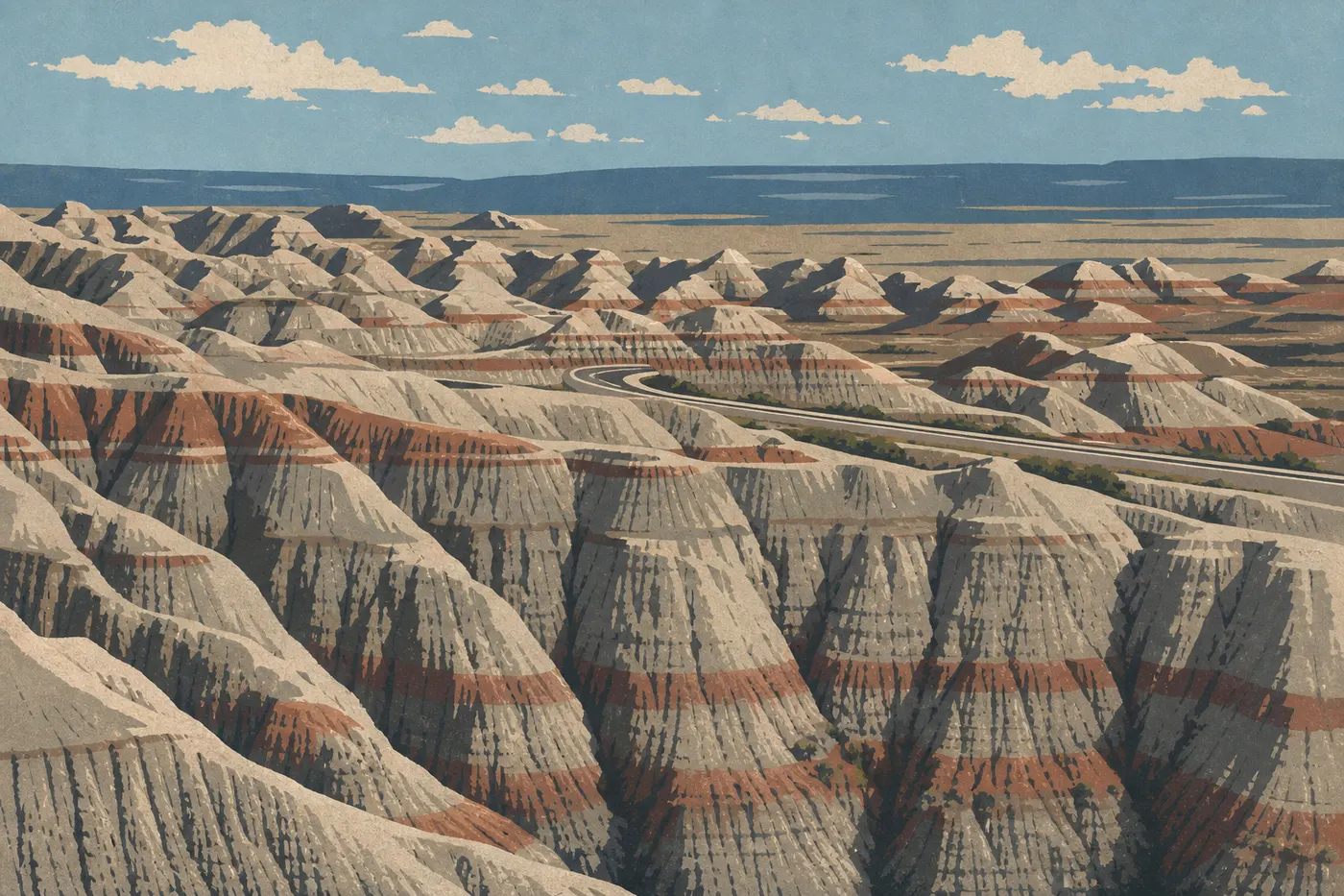
Badlands Loop Road (SD-240) is the park's main artery: a 40-mile paved road between the Northeast Entrance and Pinnacles Entrance, with about 30 marked overlooks and parking areas. You can drive the loop in either direction.
The speed limit is 45 mph on Badlands Loop Road. It's not just a suggestion. Bison, pronghorn, and prairie dogs cross the road whenever they please, at any time of day. We had to slam on the brakes twice for bison standing right in the middle of the pavement.
Sage Creek Rim Road (16 miles, unpaved) serves the park's northwest prairie section. It's suitable for a standard vehicle in dry weather, but avoid it after rain. The local clay turns the road into an ice rink.
By Shuttle
Badlands National Park has no public shuttle. No shuttle, no park bus. That's a notable difference from Zion or Grand Canyon South Rim, where the shuttle is mandatory. Here, a car is the only motorized way to get around inside the park.
By Bike
Bikes are allowed on all paved roads, including Badlands Loop Road. It's possible but demanding, with very little shade, temperatures that can exceed 113°F in summer, and steady wind. If you take on the ride, leave before 8 a.m., carry at least 2 liters of water per hour of riding, and check the weather. Thunderstorms can develop within minutes.
Where to Park: Parking Areas and Parking Rules
Parking is included with the entrance fee. There are no online reservations and no parking tags. It's first come, first served.
Ben Reifel Visitor Center (Cedar Pass): The park's main parking area has restrooms, drinking water, and a gift shop. During peak season (June through August), it often fills up before 10 a.m.
Badlands Loop Road pullouts: There are about 30 pullouts, with 5 to 30 spaces each. They fill up quickly near the most popular trails, including Door Trail, Window Trail, and Notch Trail. The good news is that spaces usually open up noticeably between 4 and 6 p.m. That's often the best time to revisit the iconic overlooks with fewer people around.
Sage Creek Campground: Open parking is available from Sage Creek Rim Road, making this a useful base for exploring the northwest section.
Arrive before 9 a.m. for the most sought-after spots. Our guide to the best times to visit Badlands National Park breaks down the busiest periods by season.
Distances and Drive Times Between Areas
The full loop is 40 miles. Without stopping, the drive takes 50 minutes. With a few short trails and the inevitable photo stops, allow 3 to 5 hours for the entire loop.
| Route | Distance | Estimated drive time |
|---|---|---|
| Northeast Entrance → Ben Reifel Visitor Center | 8 miles | 15 min |
| Ben Reifel Visitor Center → Pinnacles Entrance | 32 miles | 40 min |
To plan the order in which you'll visit the different areas or combine Badlands National Park with other Great Plains parks, see our Badlands National Park overview and our Itinerary and Trip Length Guide.
Special Cases: RVs, Camper Vans, Accessibility, and Pets
RVs and camper vans: Badlands Loop Road and I-90 have no vehicle-size restrictions. Sage Creek Rim Road is not recommended for vehicles longer than 23 feet in wet weather. Cedar Pass Campground accommodates RVs with electrical hookups, and reservations are recommended during the season. Full details are in our RV guide to Badlands National Park.
Accessibility: Ben Reifel Visitor Center is fully wheelchair accessible. About 10 overlooks along Badlands Loop Road are accessible from your vehicle without leaving the parking area. Fossil Exhibit Trail (0.25 mile round-trip) has a stabilized surface and ramps. For detailed accessibility information, see the Badlands National Park home page.
Dogs and pets: Pets are allowed in the park, but only on paved roads, in parking areas, and at campgrounds. They are not allowed on any trails or in prairie areas. Leashes are required and must be no longer than 6 feet. Wildlife is everywhere, and rattlesnakes frequent rocky areas, so keep an eye on your pets at all times.
Practical Transportation Information: Gas, Cell Service, and Apps
Gas: There is no gas station in the park. Fill up in Wall to the west or in Interior, 1.2 miles from the Northeast Entrance. A standard tank from Rapid City is enough for the full loop, but don't push your luck with the fuel gauge.
Cell service: Coverage is highly inconsistent. The Cedar Pass area gets a few bars, mainly on AT&T and Verizon. Most of Badlands Loop Road is often a dead zone. Download your maps and data before entering. The NPS App from the National Park Service stores maps and information for offline use. AllTrails offers the same feature for trails.
Weather and roads: Severe thunderstorms can close some roads without warning. In winter, from November through March, parts of Badlands Loop Road may close. Check NPS alerts before you leave. Our Badlands National Park weather guide details conditions by season.
Frequently Asked Questions
How do you get around Badlands National Park?
The only way to get around Badlands National Park is by car, using Badlands Loop Road, a 40-mile paved road. There is no public shuttle.
Can you visit Badlands National Park by car?
Yes. Driving is not only possible, it's the only way to cover the entire park. Badlands Loop Road is paved and accessible to all standard vehicles.
Where can you park in Badlands National Park?
The main parking area is at Ben Reifel Visitor Center (Cedar Pass). Parking pullouts line Badlands Loop Road. During peak season, arrive before 9 a.m. for the most popular trails.
Which entrance is best for Badlands National Park?
The best entrance is the Northeast Entrance at Exit 131 off I-90. It provides direct access to Badlands Loop Road and Ben Reifel Visitor Center.
Is there cell service in Badlands National Park?
Cell service in Badlands National Park is very limited. Download your maps and data for offline use before entering, through the NPS App or AllTrails.
What is the closest town to Badlands National Park?
The closest town to Badlands National Park is Wall, about 6 miles from Pinnacles Entrance. Rapid City, 75 miles away, is the main gateway city, with an airport and full services.