
Badlands National Park Itinerary: What to See in 1, 2, or 3 Days
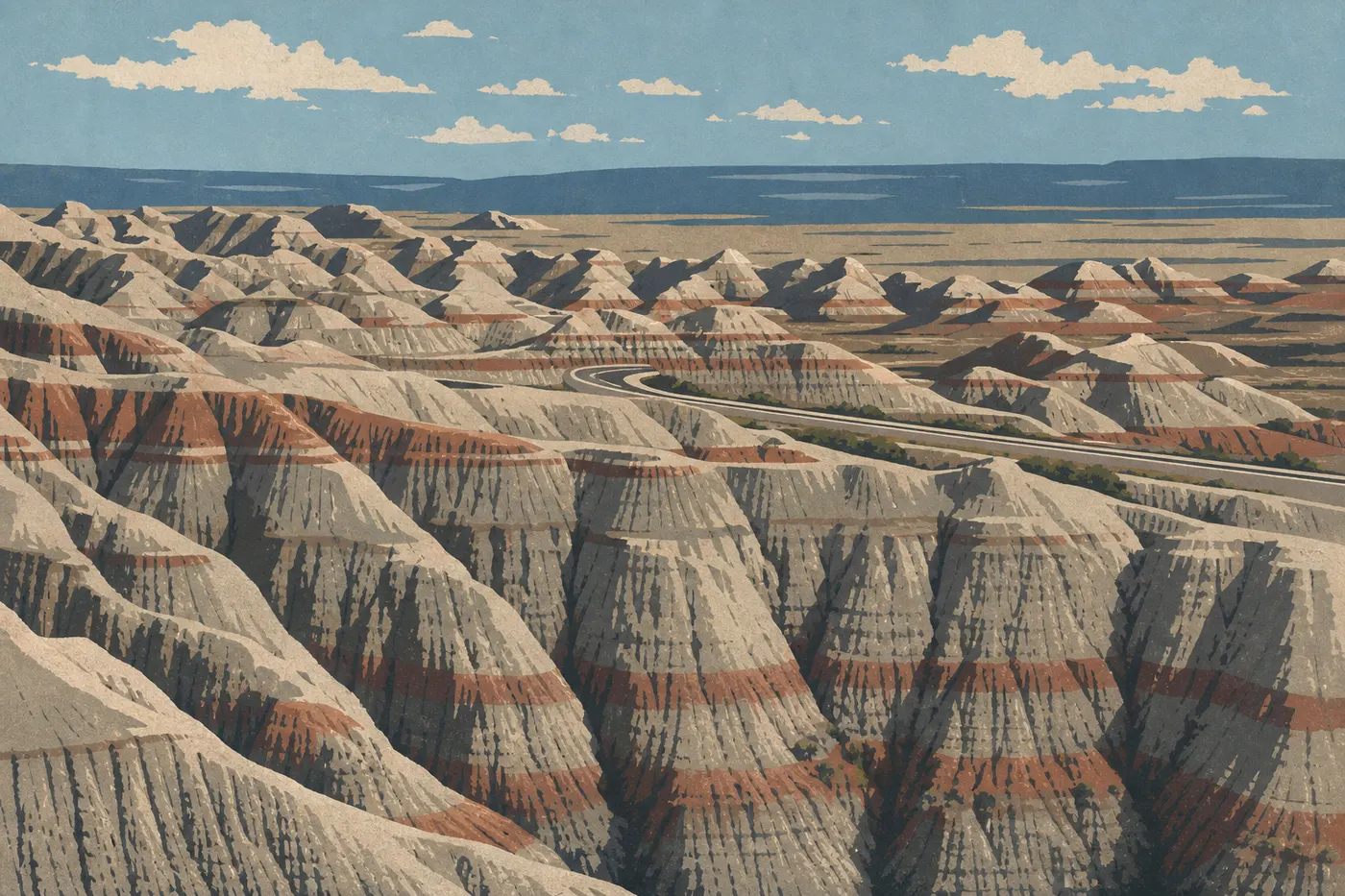
Badlands National Park rises out of the flat landscape like a science-fiction set. These eroded rock pinnacles, ocher gullies, and buttes streaked with off-white stretch across the South Dakota plateau, about 75 miles east of Rapid City. The park is compact, the main road forms a well-marked loop from I-90, and wildlife regularly wanders right along the pavement. It's one of the few American parks where a paved main road is enough to see the highlights.
In a nutshell: plan on two days for a complete and memorable visit, combining Badlands Loop Road with Sage Creek Rim Road and two or three trails. One day works for a stopover while traveling along I-90. Three days let you explore the wild South Unit, attend ranger programs, and enjoy starry skies.
How Much Time Do You Need to Visit Badlands National Park?
One day is enough to check off the essentials: Loop Road and two short trails. But enough isn't the same as having time to enjoy it.
Two days is our standard recommendation. That gives you time to spend the first day at a “photos and discovery” pace and devote the second to Sage Creek Rim Road, prairie dogs, and bison. Sunrise on the east side over the formations and sunset on the west side are completely different, and you won't want to miss either one.
Three days is the right pace if geology or paleontology is your thing. Fossil Preparation Lab deserves half a morning on its own. South Unit, the territory of the Oglala Lakota Sioux Nation, is an additional option for explorers. It requires special planning, and you should check access before you leave.
| Length | Format | What you'll see |
|---|---|---|
| 1 day | Express (I-90 stopover) | Loop Road + Door and Window Trail |
| 2 days | Classic | Loop Road + trails + Sage Creek + wildlife |
| 3 days | Immersive | Everything above + South Unit + night sky program |
Access, Entrances, and Getting Around the Park
Badlands National Park is in South Dakota, about 75 miles east of Rapid City. I-90 runs along the park's northern edge. That's your natural approach, whether you're coming from the east (Sioux Falls, Chicago) or the west (Rapid City, Mount Rushmore).
You'll need a car. There is no shuttle in the park. Badlands Loop Road is fully paved, while Sage Creek Rim Road is a dirt road that can become impassable after rain. Check conditions at the visitor center before heading out. Fill up before entering. There are no gas stations in the park.
Entrance fees (2025): $30 per vehicle, $25 for motorcycles, and $15 per person entering on foot or by bicycle. The America the Beautiful pass ($80/year) covers all U.S. federal recreation sites.
Getting to Badlands National Park from Rapid City: connections, distances, and road conditions by season.
Areas of Badlands National Park
The park has two distinct units. Most visitors explore the North Unit (Ben Reifel), which is already a very satisfying experience. South Unit, jointly managed with the Oglala Lakota Nation, remains lightly visited and has few signs.
Cedar Pass Area (Heart of the North Unit)
This is where everything begins. Ben Reifel Visitor Center at Cedar Pass is the essential orientation stop. Rangers validate your pass, hand out maps, and post trail conditions there. This hub is home to the main overlooks along Loop Road, the four iconic short trails (Door, Window, Notch, and Cliff Shelf), and Fossil Preparation Lab.
Fossil Exhibit Trail is a roughly quarter-mile boardwalk loop that offers a glimpse of fossils discovered in the park: prehistoric rhinoceroses, pig ancestors, and giant turtles. It's the right place to understand why Badlands National Park is also a global paleontology sanctuary.
Sage Creek Wilderness
Taking Sage Creek Rim Road west feels like entering a different park. The dirt road follows the edge of the wilderness area, with mixed-grass prairies, well-established prairie dog colonies, and bison crossing the road without a hurry. This area is less spectacular in terms of towering formations, but it's where you'll find the most wildlife.
Roberts Prairie Dog Town, reached from Sage Creek Rim Road, is an active colony. With the window down and the engine off, I spent a good half hour watching them without making them scatter. It's one of the funniest scenes in all of South Dakota. Here's one safety rule you shouldn't ignore: stay at least 75 feet from bison. They can charge without the slightest warning, and the “bison calmly crossing the road” can turn around in two seconds.
South Unit (White River)
South Unit lies south of the park, on the lands of the Oglala Lakota Sioux Nation. When it's open, White River Visitor Center provides valuable historical and cultural context about the relationship between the Lakota and this land. Access conditions vary by season. Check with the NPS before venturing out, especially outside the summer season.
Day-by-Day Itinerary
Day 1: Loop Road and North Unit Trails
Arrive early, by 7 a.m. if you can. Morning light on the formations has rare photographic quality, and the overlook parking lots are still empty.
Morning: Stop at Ben Reifel Visitor Center to pick up a paper map and check the weather conditions. Badlands weather is famously unpredictable. Severe thunderstorms can develop very quickly in summer, with hail and strong gusts, and tornadoes have been reported in the area. If alerts are posted on the board, take them seriously.
Head west on Loop Road. The first overlooks (Big Badlands Overlook and Yellow Mounds Overlook) offer a broad view of the landscape. Take your time here. The temptation to “just drive” is real, but the formations change in color and relief depending on your angle. Fossil Exhibit Trail, a quarter-mile boardwalk loop, fits well here as a warm-up.
Midday: Door Trail (about 0.75 miles round-trip, a natural surface marked by posts) takes you right into the formations. Beyond the marked area, there is no trail. Stay on hard rock and avoid the crumbly clay. Window Trail (0.25 miles round-trip) ends at a natural “window” cut into the wall, with a sweeping view down into an enclosed basin. Short, free, and unexpected.
Notch Trail (1.5 miles round-trip) is the most demanding trail in this area. You have to climb a log ladder fixed to the wall, then follow an exposed ledge across compacted clay. The reward at the top is an open view of Clay Table and the Plain of the Plat. Avoid it entirely in wet weather. The clay rock becomes as slippery as wet soap.
Evening: Cliff Shelf Nature Trail (0.75-mile loop) crosses a separate ecosystem: a suspended prairie above the formations, with denser vegetation and songbirds not found elsewhere in the park. End your day at one of the west-facing overlooks along Loop Road for sunset. The pinnacles shift from vivid orange to deep purple. Allow a good hour for golden light.
Day 2: Sage Creek and Wildlife
On this day, getting up before dawn isn't optional.
Morning: Make your way to Badlands Wilderness Overlook for sunrise. Low-angle light reveals textures and relief that disappear in the middle of the day. Then take Sage Creek Rim Road west from Loop Road at the signed junction. If it rained overnight, check conditions at the visitor center before heading onto the dirt road.
At Roberts Prairie Dog Town, plan on 20 to 30 minutes with the window down and the engine off. Prairie dogs are active in the morning and become even more animated when motionless visitors approach. Continue to Sage Creek Campground. It's one of the quietest places in South Dakota, and bison are common there.
Midday: Fossil Preparation Lab at Cedar Pass opens during the day and lets you watch paleontologists work on real fossils behind glass. Check the schedule posted at the visitor center the day before. If your hiking schedule isn't full, Saddle Pass Trail (0.5 miles, short but very steep) connects Loop Road with Castle Trail and offers a direct climb onto the ridge of the formations. Trekking poles are recommended, especially on the way down.
Afternoon: Use the rest of the afternoon to revisit overlooks that were too crowded the day before. The parking lots empty out late in the afternoon, and the light returns. Badlands National Park hikes covers these trails in detail, with difficulty levels and options for extending each outing.
Day 3: Ranger Programs, South Unit, or Extensions
The third day deserves a different pace.
Option A: ranger programs. The NPS organizes guided walks, night sky programs (Badlands' low light pollution makes it an exceptional natural observatory), and talks on geology or paleontology. Check the board at Ben Reifel Visitor Center the evening before for the schedule.
Option B: White River Visitor Center and South Unit. Take SD-27 south from I-90. When it's open, White River Visitor Center focuses on Lakota history and the wild landscape of South Unit. Check access conditions with the NPS beforehand.
Option C: regional extensions. Wall Drug, 9 miles from the west entrance, is a kitschy must-see along Route 90. Mount Rushmore is about 90 minutes west. Our Road Trips and Regions guides cover these multi-park combinations, including distances and overnight stops.
Options Based on How Long You Have
Express (1 day): Enter from the northeast at 8 a.m., drive the entire Loop Road without rushing, and stop at the Window and Door Trail overlooks. Finish with Fossil Exhibit Trail before leaving the park at 4 p.m. Cedar Pass Lodge, the only restaurant in the park, serves lunch on-site. This plan is designed for travelers passing through on I-90, not for maximizing the experience.
Classic (2 to 3 days): Follow the day-by-day itinerary above. Stay in Wall (hotels and motels along I-90) or at Cedar Pass Campground to remain close to the formations. Badlands National Park lodging, hotels and lodges, and campgrounds: every option, with prices and opening dates.
Regional road trip (5 to 7 days): Add Badlands National Park to a broader South Dakota circuit: Custer State Park and its Wildlife Loop Road (an exceptional setting for watching free-roaming bison), Wind Cave National Park (established in 1903, one of the first U.S. national parks), Jewel Cave National Monument, Mount Rushmore, and Crazy Horse Memorial (a monumental sculpture begun in 1948 that is still under construction today).
Itinerary Map
The NPS gives out a paper map free of charge at the entrance. It's all you need to navigate Loop Road and Sage Creek Rim Road. The Unigrid map is also available as a PDF download on the park's official website.
Here are a few useful reference points for planning your drive:
- From the northeast entrance to Ben Reifel Visitor Center: about 6 miles along Loop Road.
- From the visitor center to the Sage Creek Rim Road junction: another 12 miles or so.
- Complete Loop Road loop (northeast entrance to northwest entrance): about 37 miles.
Cell service is very limited in the park. Download the map for offline use before entering. The Badlands National Park map brings together all available mapping resources.
Where to Stay Along the Itinerary
Your choices center on two hubs. Wall, west on I-90, offers the widest selection: motels, chain hotels, and a few independent properties. Interior, inside the park itself, is quieter and closer to the formations.
Cedar Pass Lodge, operated by the NPS, offers cabins right in the park, with a deck facing the formations. Book several weeks ahead during the high season (June through August). For camping, Cedar Pass Campground accepts reservations through recreation.gov. Primitive and free, Sage Creek Campground works for travelers in vans or 4WD vehicles who don't mind spending the night without running water or electricity.
Don't underestimate summer nighttime heat. The formations give back some of the solar heat they absorb during the day. Our Where to Stay, Camping, and RV Camping pages cover every option, including amenities and opening dates.
Extend Your Trip: What to See Around Badlands National Park
Badlands National Park is rarely visited on its own. South Dakota is one of the most densely packed destinations for remarkable parks and monuments relative to its size.
West (less than 2 hours):
- Mount Rushmore: the four presidents carved into granite, with a summer evening sound-and-light program.
- Crazy Horse Memorial: a monumental sculpture begun in 1948 that is still under construction today.
- Custer State Park: Wildlife Loop Road, free-roaming bison, pronghorn, and bighorn sheep.
- Wind Cave National Park: established in 1903 and notable for its boxwork formations.
- Jewel Cave National Monument: one of the longest cave systems in the world.
Northwest:
- Devils Tower National Monument (Wyoming, about 3 hours away): a 870-foot volcanic neck that served as a setting for Close Encounters of the Third Kind.
Our Regions guide provides the key details for multi-park routes from Badlands National Park, including distances and lodging options between stops.
The Ideal Itinerary for Your Time
One day: Badlands Loop Road with stops at Door Trail and Window Trail. That's the bare minimum for getting a sense of this landscape.
Two days: Add Sage Creek Rim Road on the second morning. The wildlife and quiet of the western section completely change how you experience the park. This is our recommendation for most visitors.
Three days: Slow down. Attend a night sky program, tackle Notch Trail early in the morning before the heat, and explore South Unit if conditions allow.
In every case, check our complete Badlands National Park guide before you leave for an overview, along with our Weather page for current conditions. Summer thunderstorms in Badlands National Park give no warning, and a downpour can turn Sage Creek Rim Road into impassable terrain within minutes.
Frequently Asked Questions
What is the itinerary for Badlands National Park?
The standard Badlands National Park itinerary follows Badlands Loop Road (SD-240) from the northeast entrance to the northwest entrance, with stops at the main overlooks and two or three short trails (Door, Window, and Notch). Sage Creek Rim Road then takes you to the park's wild western section, where wildlife is concentrated.
What is the most scenic route through Badlands National Park?
The most scenic itinerary combines Loop Road from east to west, when morning light illuminates the formations from the east, with Sage Creek Rim Road on the return trip to catch bison and prairie dogs late in the morning. Notch Trail, which ends at a ledge overlooking the prairies, offers the most dramatic viewpoint accessible on foot.
Where is Badlands National Park?
Badlands National Park is in western South Dakota, about 75 miles east of Rapid City. I-90 runs along the park's northern edge. The main entrance is accessible from Exit 131 on I-90.
What is a badland?
A “badland” is a landscape formed by the intense erosion of soft sedimentary rock, here deposited by ancient seas and volcanic ash 26 to 37 million years ago. The term comes from the Lakota and from the French used by early explorers. The result is a landscape of pinnacles, striped buttes, and almost lunar gullies that is poorly suited to farming but extraordinary to see.
How many days do you need to visit Badlands National Park?
Two full days is our recommendation for a satisfying visit. One day lets you see the essentials while traveling along I-90. Three days works for travelers who want to explore the park's wild section and attend ranger programs.
Can you drive through Badlands National Park?
Yes. Badlands Loop Road (SD-240) crosses the park from northeast to northwest for about 37 fully paved miles. It connects Exits 131 and 110 on I-90. The unpaved Sage Creek Rim Road extends the drive west.
How much does it cost to enter Badlands National Park?
$30 per vehicle, $25 for motorcycles, and $15 per person entering on foot or by bicycle (2025 rates). The park's annual pass costs $55. The America the Beautiful pass ($80/year) covers all U.S. federal recreation sites. For entrance fees and annual passes, see the National Parks Fees & Passes page.
When is the best time to visit Badlands National Park?
The complete answer is on our When to Go page. In short, spring (May to June) and fall (September to October) offer mild temperatures and fewer visitors. Summer is very hot, with temperatures as high as 117°F, stormy, and busy. Winter is cold and windy, but the formations under snow offer a rarely seen spectacle.