
American West Road Trip: The Grand National Parks Loop from Las Vegas
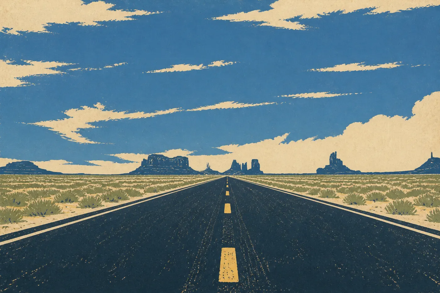
Five in the morning, a parking lot still warm at the foot of a cliff two thousand steps high. Zion's shuttle hasn't started, and headlamps are already climbing toward Angels Landing in the dark. Two days later at Bryce Canyon, we're blowing mist into the June dawn, 8,500 feet higher, in front of an amphitheater of hoodoos that the sun lights up one by one. Farther on, a road barely wider than two cars runs along a sandstone ridge, with a drop on either side, and no one around. Then comes Moab's red sandstone bristling with arches, Monument Valley's Mittens rising from the Navajo desert, the green curve of Horseshoe Bend, and finally the mile-deep chasm that takes your breath away at Mather Point. We head home along Route 66, neon signs and diners, as if coming down from a dream.
This road trip ties those images together in one loop. It starts in Las Vegas, heads due north toward Utah's canyons, turns east across the Colorado Plateau, drops into Arizona to the South Rim of the Grand Canyon, then returns to its starting point along old Route 66. Twelve to 18 days on the road, six national parks and a marquee detour to the lowest point on the continent. This is the heart of the American West, packed into one loop that you can lengthen or shorten as you please.
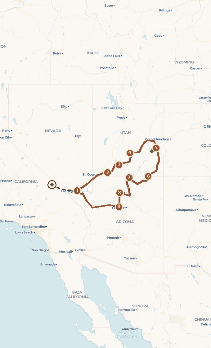 Base map © OpenStreetMap · © CARTO
 - 1. Las Vegas, porte d'entrée de la boucle
- 2. Springdale et Zion
- 3. Bryce Canyon et la Scenic Byway 12
- 4. Torrey et Capitol Reef
- 5. Moab : Arches et Canyonlands
- 6. Monument Valley
- 7. Page : lac Powell, Antelope Canyon, Horseshoe Bend
- 8. Grand Canyon, rive sud
- 9. Williams et la Route 66
- ↳ detour to Death Valley
1 stop national park on the route detour
Which way should you drive the loop, and how long will it take
You can drive a loop in either direction, but the choice matters. We drive counterclockwise, with Zion first and the Grand Canyon as the penultimate act. It starts with a crescendo. You enter through Zion's red walls, reach Bryce's hoodoos, discover Moab's sandstone, touch the myth at Monument Valley, and save the Grand Canyon for last, once your eye has learned how to read these landscapes. You can only grasp the scale of that final chasm after everything that comes before it.
There's a practical reason, too. Bryce and Scenic Byway 12 rise above 8,200 feet, so we cross them early in the trip, with fresh legs, before Arizona's canyon heat sets in. Death Valley, the marquee detour, fits at the Las Vegas hinge, either at the beginning or the end, never in the hottest part of the route. And the return along Route 66 makes for a perfect decompression: after the wonders, American nostalgia gently leads us back toward the airport.
As for timing, allow 12 days for the fast version and 18 for a more comfortable pace. The loop covers roughly 1,240 miles, but beginners often make the mistake of thinking in miles. Here, you need to think in parks. No driving leg is longer than three hours, and most days are spent on foot, not behind the wheel.
Las Vegas, getting started
We land in Las Vegas, pick up the car and resist the city. One night is enough to reset from jet lag and load the trunk. The Strip is a gateway, not a stop. The real trip begins when the last casinos disappear in the rearview mirror and Interstate 15 heads due north through the Mojave Desert.
The landscape sets the stage within an hour. Neon gives way to Joshua trees, then a stretch of Arizona, before Utah opens up its red sandstone plateaus. Passing through the Virgin River Gorge just before Zion is the opening sequence: the road slips between walls that suddenly soar, and we realize we've entered another world. Springdale, Zion's gateway town, marks the first real stop.
Zion and Bryce, a climb through color
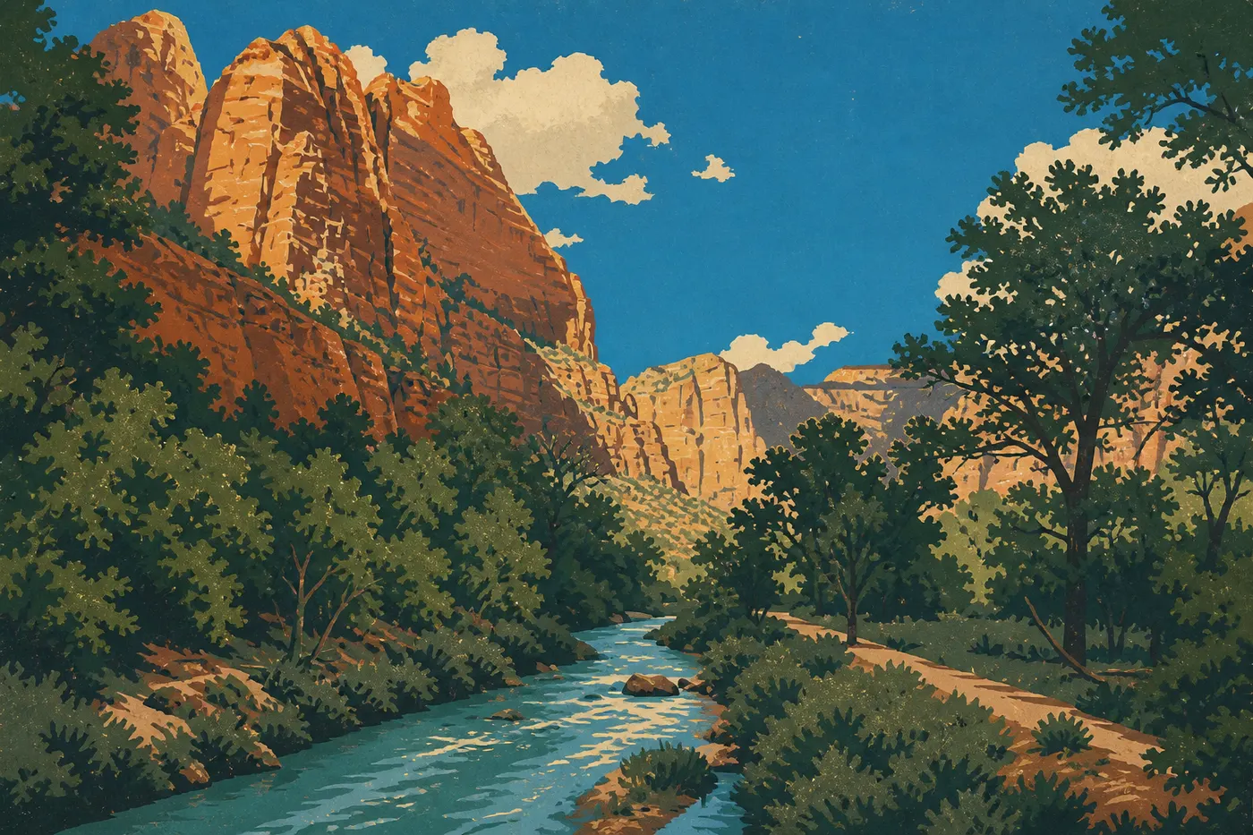
At Zion, the Virgin River carved a 1,640-foot-deep gash into the plateau, and we walk at its base with our heads tilted back. The main canyon is reached by mandatory shuttle for much of the year. We get off at one stop and hop back on farther along, without ever hunting for a parking space. Two hikes have made the park famous. Angels Landing climbs a dizzying ridge secured by chains, now requiring a permit obtained through a lottery. The Narrows takes you up the river, between walls that tighten until they seem to touch the sky. We leave with stiff necks and wet shoes, which is a good sign.
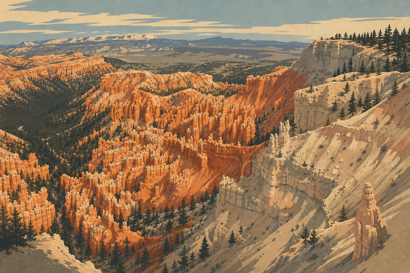
An hour and a half northeast, the scenery changes completely. Bryce Canyon isn't a canyon but an amphitheater, an entire slope bristling with thousands of orange hoodoos sculpted by frost winter after winter. You arrive at the top, above 8,500 feet, and discover the drop as you approach the rim. Sunrise Point is worth the cold early wake-up: the low light sets the hoodoos aglow from the bottom up. Then we descend among them on the Queen's Garden and Navajo Loop, the only way to grasp their size, tiny at the foot of those columns.
Scenic Byway 12 and Capitol Reef, the West's most underrated drive
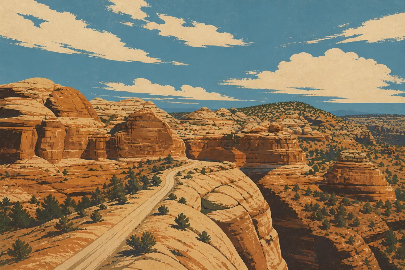
Between Bryce and Torrey, Scenic Byway 12 is one of those roads worth an entire day of its own. Designated an All-American Road, it crosses 93 miles of wild country, follows Grand Staircase-Escalante, and climbs the Hogback, a sandstone ridge so narrow that the pavement barely fits between two drop-offs. There are no guardrails or houses, just rock, pines and the horizon. We drive slowly, stop at the overlooks at Head of the Rocks and Calf Creek, and eventually cross Boulder Mountain's forest at nearly 9,800 feet, the last mountain before the desert.
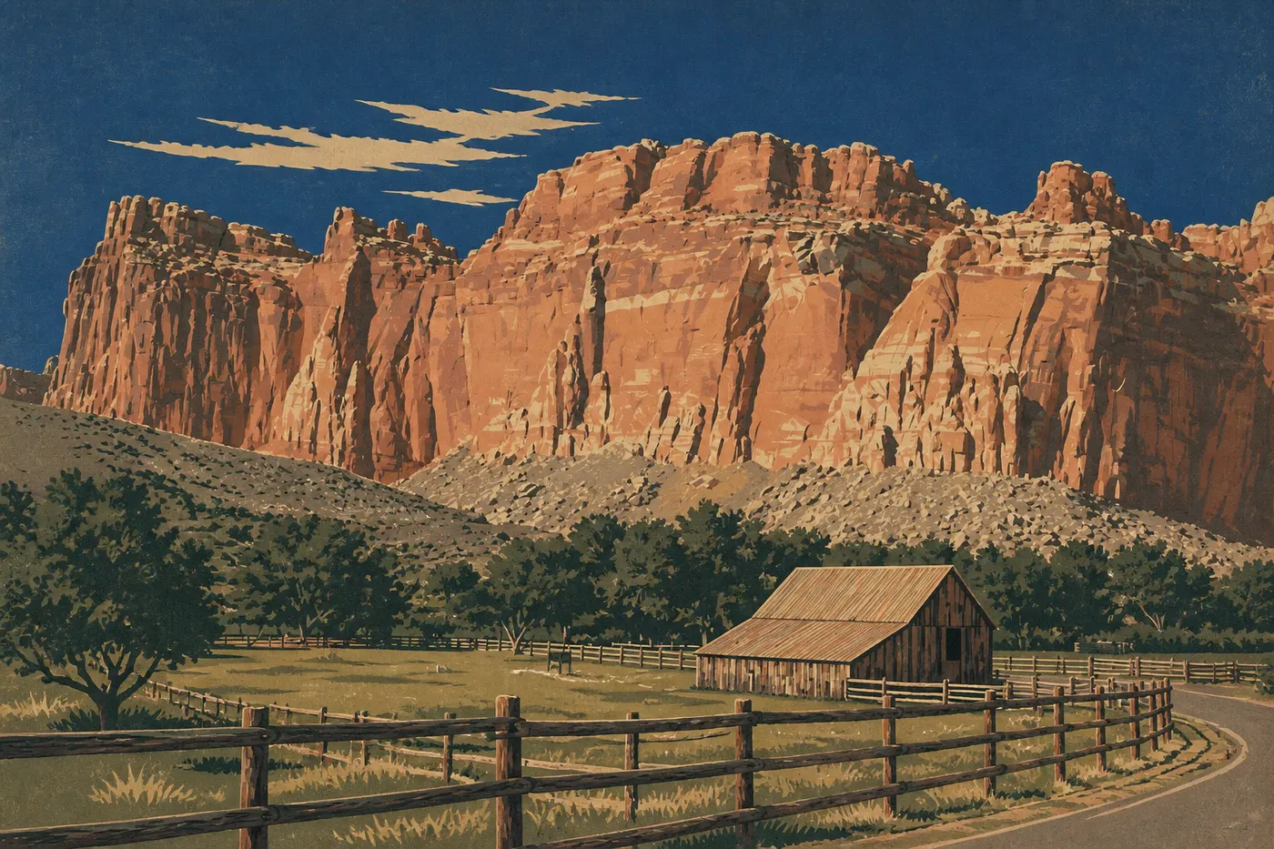
The road leads to Capitol Reef, the park everyone forgets to put on the itinerary, and wrongly so. It protects the Waterpocket Fold, a gigantic wrinkle in the Earth's crust stretching 93 miles. At the heart of the park, the old Mormon settlement of Fruita still has its orchards. In season, you can pick your own apples and cherries, then leave with a pie from Gifford House. Fremont petroglyphs cover the walls, carved a thousand years ago. Here the crowds disappear, and that's precisely what makes the park so valuable.
Moab, sandstone country: Arches and Canyonlands
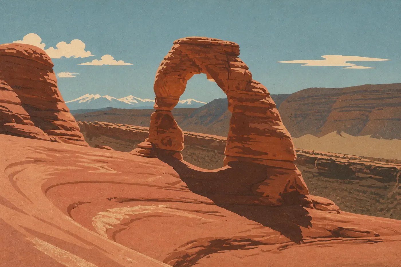
From Torrey, we head east to Moab, an adventure capital set on the Colorado River and an ideal base for two neighboring, contrasting parks. Arches contains more than 2,000 arches, including famous Delicate Arch, the freestanding arch perched above the void that appears on Utah license plates. We hike there late in the day, when the sandstone turns incandescent and shadows lengthen every curve. Elsewhere, Landscape Arch stretches out as an impossibly thin ribbon of stone, while the Windows line up like openings cut into a wall.
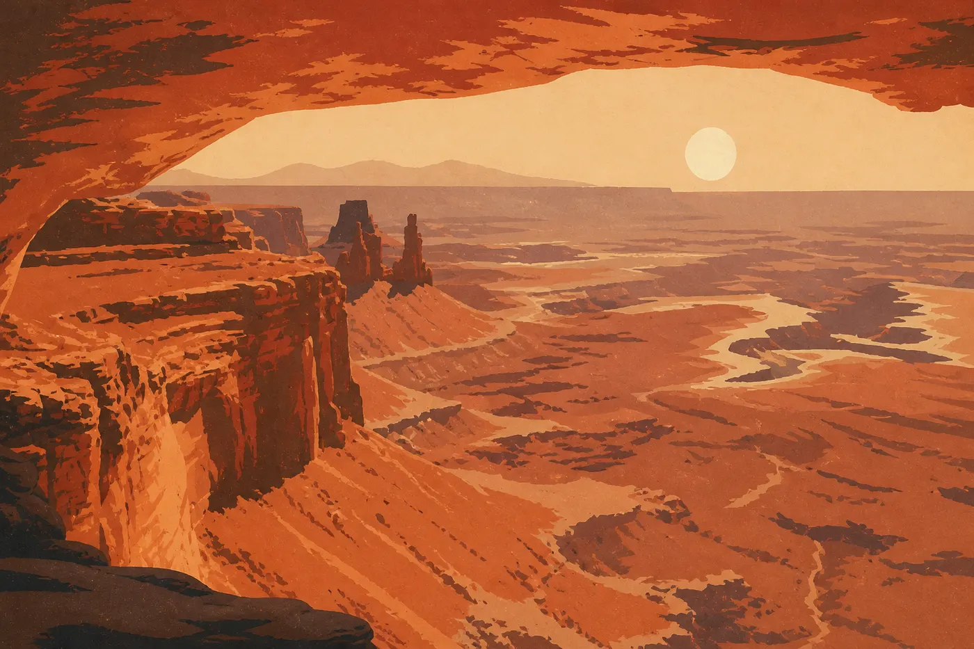
Canyonlands takes the opposite approach: vastness and silence. From the Island in the Sky district, we look out over a maze of canyons carved by the Colorado and Green rivers, extending as far as we can see. At sunrise, Mesa Arch frames that immensity and catches fire from below as light bounces beneath the arch. It's one of the West's most popular spectacles, and it lives up to its reputation. Grand View Point brings the mesa to a close at an overlook where you finally understand the scale of the plateau.
Monument Valley and Navajo Country
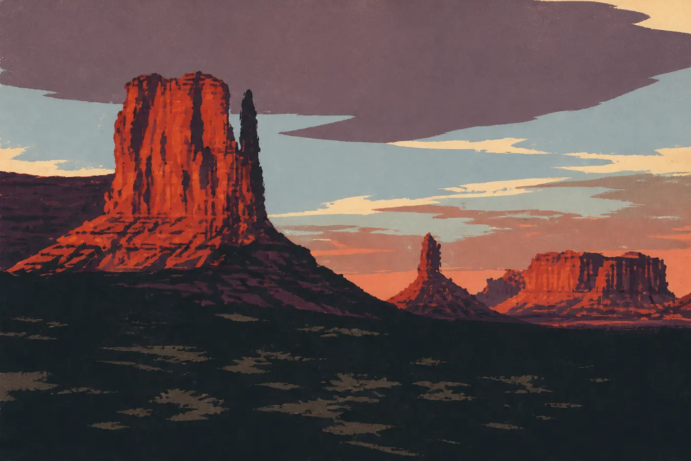
From Moab, the road drops south and the West leaves its national parks behind to enter the realm of myth. Monument Valley isn't a federal park but a Navajo tribal park, and that changes everything. We arrive on US-163, the perfect straight line filmed by Hollywood a thousand times, until the Mittens and Merrick Butte appear, three blocks of red sandstone standing alone in the vastness. John Ford filmed his westerns here, and we understand why. No backdrop has ever done it better.
The Valley Drive heads between the buttes along 11 miles of dirt road. It's suitable for a regular car in dry weather if you drive slowly. But the best way to see the valley is with a Navajo guide. Guides open areas closed to the public, tell the story of their homeland, and direct tourism dollars back to the Nation that lives here. We spend at least one night so we can watch the sun set and rise over the Mittens, the site's one truly essential show.
Page, the Grand Canyon and Route 66 home
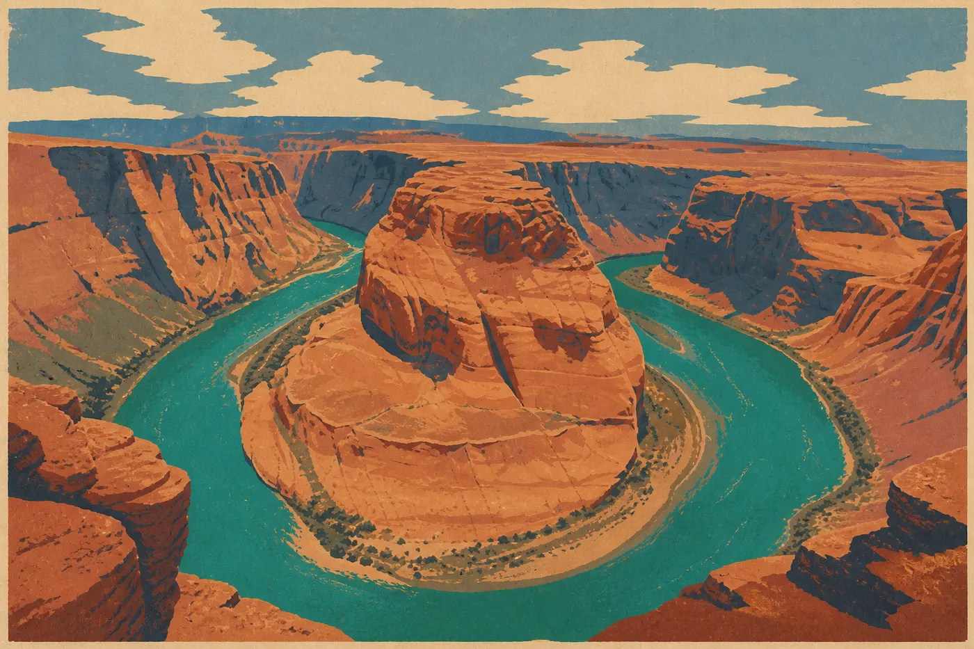
We head west to Page, a small town born from Glen Canyon Dam and Lake Powell. Two wonders nearly touch here. Antelope Canyon is a slot canyon where light falls in columns onto sandstone walls rippled like velvet. You can only visit with a Navajo guide, and you need to book ahead. Ten minutes away, Horseshoe Bend loops the Colorado River in a perfect curve, 660 feet below. A short walk through sand leads to the overlook. That emerald-green horseshoe set in red sandstone is a postcard earned in half an hour on level ground.
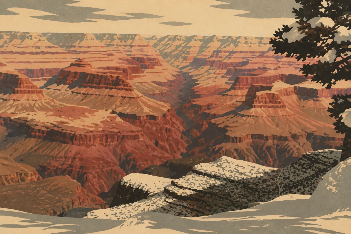
Then comes the giant. The South Rim of the Grand Canyon opens without warning at Mather Point, and that first look stays with you: a 211-mile-long chasm, 0.9 miles deep, where the Colorado is reduced to a silver thread. We follow the Rim Trail from overlook to overlook, continue east to Desert View Watchtower, and, if our legs hold up, descend partway down Bright Angel to change our sense of scale. Sunset at Hopi Point sets the layers ablaze one after another. This is the high point of the trip, saved for last as it should be.
Then comes the comedown, and it's a gentle one. We reach Williams, the last Route 66 town bypassed by the freeway, then Seligman, where the old road has come back to life. Chrome diners, vintage gas stations, kitschy shops and neon signs: we drive through postcard America to Kingman, then close the loop in Las Vegas. After all those geological wonders, this final leg tastes sweetly of nostalgia.
The marquee detour, Death Valley
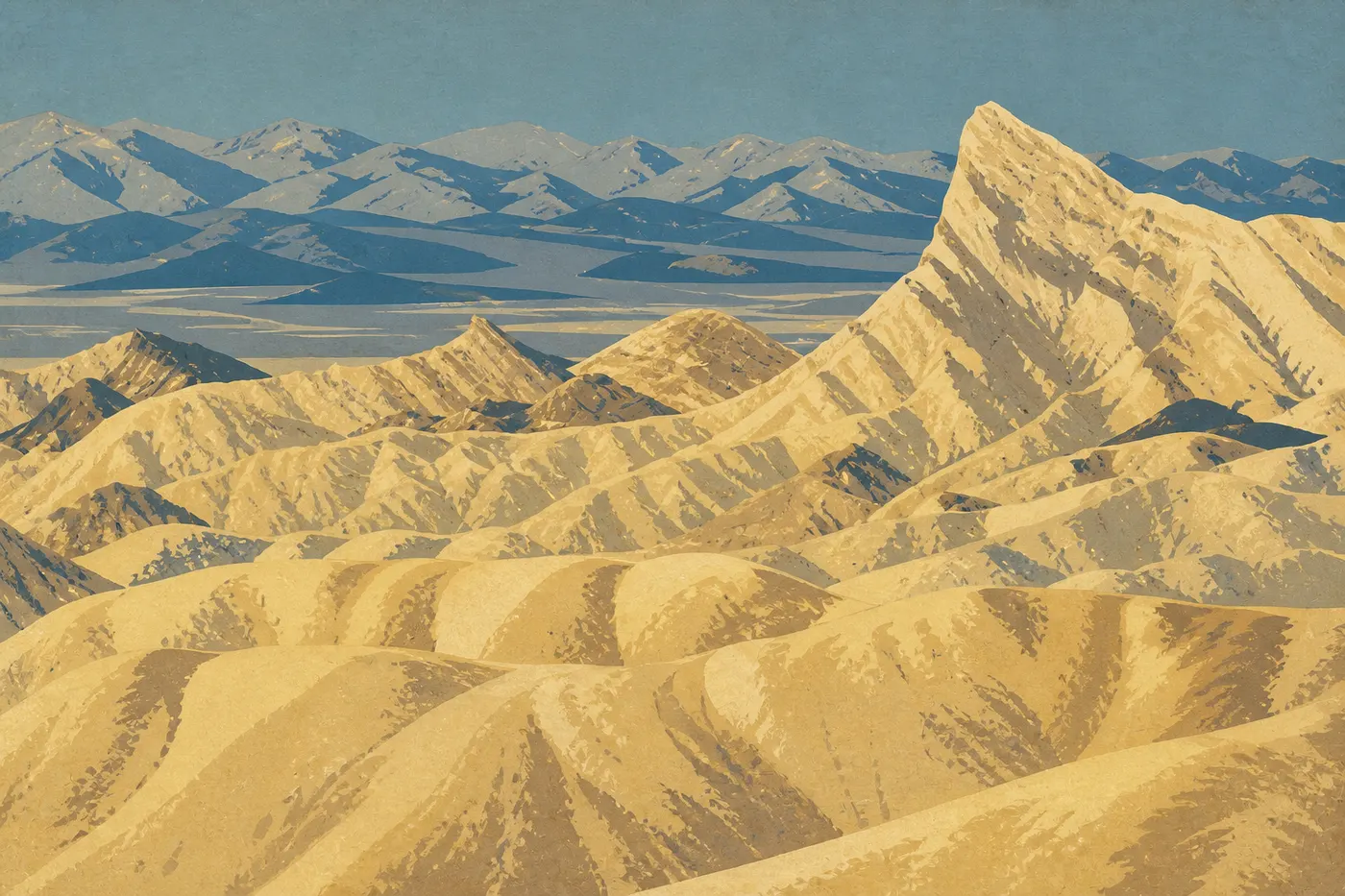
Only one detour is worth forcing into the route, and it fits at the Las Vegas hinge: Death Valley, the largest national park in the contiguous United States and the most extreme. Two hours from the Strip is enough to carry you into another world. At Zabriskie Point, a sea of golden badlands ripples in the morning light like a frozen ocean. At Badwater Basin, we walk across a hexagonal salt crust 282 feet below sea level, the lowest point in North America. Mesquite Flat Sand Dunes, Artist's Palette, Dante's View. The valley collects extremes.
We add it at the beginning or end of the loop, never in the hottest part of summer. Death Valley has earned its nickname: it's the hottest place on Earth, with records above 122°F. One or two days in spring or fall make it a distinct climax, the absolute opposite of Bryce's cool heights.
The national parks on this road trip
When to go
This is the real question for this circuit because it has no single ideal season. You have to balance elevation, heat and crowds. Spring, from April through early June, and fall, from mid-September through October, are the prime windows. Arizona's canyons remain manageable, Bryce has finished clearing snow from its trails, Death Valley is still hikeable, and summer crowds haven't taken over Zion's shuttles. That's our favorite time, with fall in first place for its warm light.
Summer, from June through August, is peak season, with its advantages and traps. Everything is open, including the high roads through Bryce and Byway 12, but Moab and the Grand Canyon swelter and parking lots overflow. We hike at dawn, retreat to higher elevations during the hottest hours, and book absolutely everything ahead of time. Death Valley becomes genuinely dangerous, so we save it for another season.
Winter has its fans and its limitations. The South Rim of the Grand Canyon stays open year-round, dusted with snow and wonderfully quiet, but Bryce and Byway 12 can be covered in snow and ice, and some secondary roads close. The full loop is still possible if you're willing to deal with the cold and check the weather day by day. For details on each park, every guide covers its own month-by-month climate. See the “When to go” section for Zion, Bryce Canyon and the Grand Canyon.
The road trip map to print
The route map at the top of this page is also available as a printable version. It's the illustrated background of the module, showing the loop, nine numbered stops, six parks and the detour to Death Valley. It lets you see the whole circuit at a glance and keep it in the glove box. Open it full-size, then save it to take offline. It's useful in the Colorado Plateau's dead zones.
Download the road trip map (image)
The American West with kids
This loop works very well with kids as long as you lighten the schedule. The golden rule is shorter drives and more nights in the same place, even if that means skipping Capitol Reef or shortening Byway 12. Two nights at each base beat a long string of hotels, and we leave half-days for breaks, including motel-pool time.
The Junior Ranger program is a parent's best ally. At every park, kids complete an activity booklet and receive a badge after taking the pledge with a ranger. Six parks, six badges. The collection becomes a thread running through the trip and gives every visit a purpose. For walking, three easy trails carry the trip without wearing anyone out: Zion's flat, shaded Riverside Walk along the river; Bryce's Queen's Garden Loop, the gentlest descent among the hoodoos; and the Grand Canyon's Rim Trail, which follows the edge safely, with shuttles to cut things short when little legs get tired.
Variations on the loop
This grand loop is the template. You can tighten it, stretch it or shift it depending on your time and interests. Here are the versions we cover elsewhere, each with its own story and map.
15 days. The two-week version of this same loop from Las Vegas, tightened around the essentials: Zion, Bryce, Byway 12, Moab, Monument Valley and the Grand Canyon, with no wasted time. A good compromise for a first big trip to the West. See the 15-day Western road trip.
3 weeks. The longer version, starting in Los Angeles and adding California to the loop: Joshua Tree, Death Valley, Yosemite and Highway 1, for travelers with time to see it all. See the 3-week Western road trip.
The Grand Circle, Utah and Arizona. The same canyon loop refocused on Utah and Arizona's parks, with a detour to Mesa Verde. It's the concentrated version of red sandstone, without California. See the Utah and Arizona road trip.
California's parks. A neighboring, complementary loop along the Pacific: Yosemite, Sequoia, the deserts and Highway 1 from San Francisco. See the California parks road trip.
Yellowstone and Grand Teton. Farther north, the other great Western road trip, following geysers and wildlife in a loop from Salt Lake City. A trip in its own right, to save for next summer. See the Yellowstone and Grand Teton road trip.
By RV. The same freedom, but with nights in the parks. The Western loop is wonderfully suited to an RV as long as you reserve campsites. See the Western road trip by RV.
Frequently asked questions
Where should you start a Western road trip?
In Las Vegas, the loop's natural gateway. Its airport has the best concentration of rental cars at the best rates, and canyon country begins less than two hours away. Returning the car to the same place closes the loop without a one-way fee.
How long does the American West loop take?
Twelve to 18 days. Twelve days are enough to string together the six parks without dead time, while 18 lets you linger, add Death Valley and spend extra nights in the best places. In less than 12 days, it's better to cut the loop short than race through it.
Which way should you drive the loop?
We drive counterclockwise, with Zion first and the Grand Canyon as the penultimate act, building toward the trip's high point and keeping Bryce's cool elevations for the beginning. The reverse direction works, too. The choice is about the story, not the road.
When should you visit the American West?
Spring, from April through early June, and fall, from mid-September through October, offer the best balance of manageable heat and reasonable crowds. Summer opens everything up but brings intense heat and heavy crowds. Winter is still possible at the Grand Canyon, but more complicated at Bryce's elevations and along Byway 12.
Is the Death Valley detour worth it?
Yes, if the season allows. Two hours from Las Vegas, the valley brings together North America's lowest point and the badlands of Zabriskie Point. Add it at the beginning or end of the loop, in spring or fall, never in the hottest part of summer.