
3-Week USA Road Trip: The Ultimate Western Loop from Los Angeles
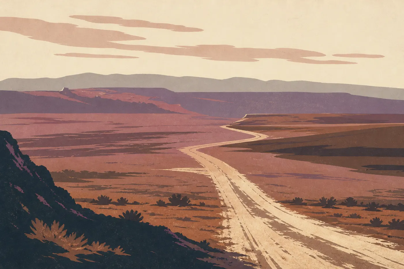
It's past noon at Badwater Basin, the lowest point in North America, 282 feet below sea level. Salt crackles under our shoes, the air burns at over 113°F, and the horizon shimmers. Twenty-four hours later, just a two-hour drive away, we're looking up from the rounded rocks of Alabama Hills at a granite wall still white with snow: Mount Whitney, 14,505 feet, the roof of the contiguous United States. Between the two, there's only one valley to cross. That's the kind of dramatic contrast this trip stacks up, day after day.
Three days earlier, the Virgin River reached our knees in Zion's Narrows corridor. A week before that, Joshua Tree's giant yuccas cut their silhouettes into a desert sky. And farther along the map, there's a 5,000-foot-deep hole where silence has weight, the South Rim of the Grand Canyon, followed by Bryce's hoodoos, Moab's arches, Monument Valley's mesas, Yosemite's granite domes and, at the very end, Highway 1 suspended above the Pacific.
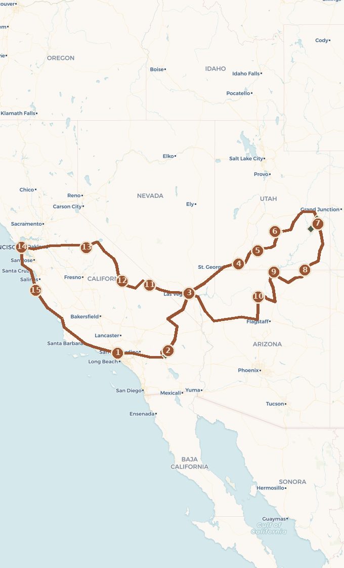
This road trip links those images into one loop. We leave Los Angeles, warm up in the Joshua Tree desert, climb into the Grand Circle through Zion and Bryce, cross sandstone country to Moab, stop at Monument Valley and the Grand Canyon, plunge into Death Valley, climb the Sierra along Tioga Road to Yosemite, then return to Los Angeles through San Francisco and along Highway 1. Nine national parks, 1,550 miles of desert and 620 miles of coast, three full weeks. It's the most complete trip the American West can offer in one turn of the wheel.
 Base map © OpenStreetMap · © CARTO
 - 1. Los Angeles
- 2. Twentynine Palms et Joshua Tree
- 3. Las Vegas
- 4. Springdale et Zion
- 5. Bryce Canyon et la Scenic Byway 12
- 6. Torrey et Capitol Reef
- 7. Moab : Arches et Canyonlands
- 8. Monument Valley
- 9. Page et le lac Powell
- 10. Grand Canyon, rive sud
- 11. Furnace Creek, Death Valley
- 12. Lone Pine et les Alabama Hills
- 13. Yosemite Valley par la Tioga Road
- 14. San Francisco
- 15. Highway 1 : Monterey et Big Sur
1 stop national park on the route detour
Which Way to Drive This Loop, and How Long to Spend
You can drive the loop in either direction, but the route we recommend has a clear logic built around three arguments.
First comes the desert's dramatic arc. The trip builds in intensity through its first half: Joshua Tree's yuccas as a warm-up, Zion's walls, Bryce's hoodoos, Moab's arches, the Navajo mesas, then the Grand Canyon's vast emptiness as the first high point. Saving the Grand Canyon for the end of the desert sequence gives this part of the trip a natural climax.
Then there's the great contrast. After the Grand Canyon, we head straight west into Death Valley, the lowest and hottest point on the continent, then climb in one sweep toward Mount Whitney, the highest peak in the contiguous United States. That leap from lowest to highest in two days only works in this direction, from east to west. It's the hidden hinge of the route.
Finally, there's the Sierra crossing and the coastal finale. From Lone Pine, Tioga Road crosses the Sierra Nevada via the only pass that cuts through its middle and reaches Yosemite from above. We finish gently with San Francisco and Highway 1, which brings us back to Los Angeles without repeating the same road. The loop closes where it began, with the car returned to its starting point.
Act I. Los Angeles and Joshua Tree, a Desert Warm-Up
We pick up the car in Los Angeles, cross the metro area without lingering, and reach the desert in under three hours, heading east. Twentynine Palms guards the north entrance to Joshua Tree, and the park is the perfect way to get started: wild enough to set the tone, gentle enough to settle into the rhythm before the long days begin.
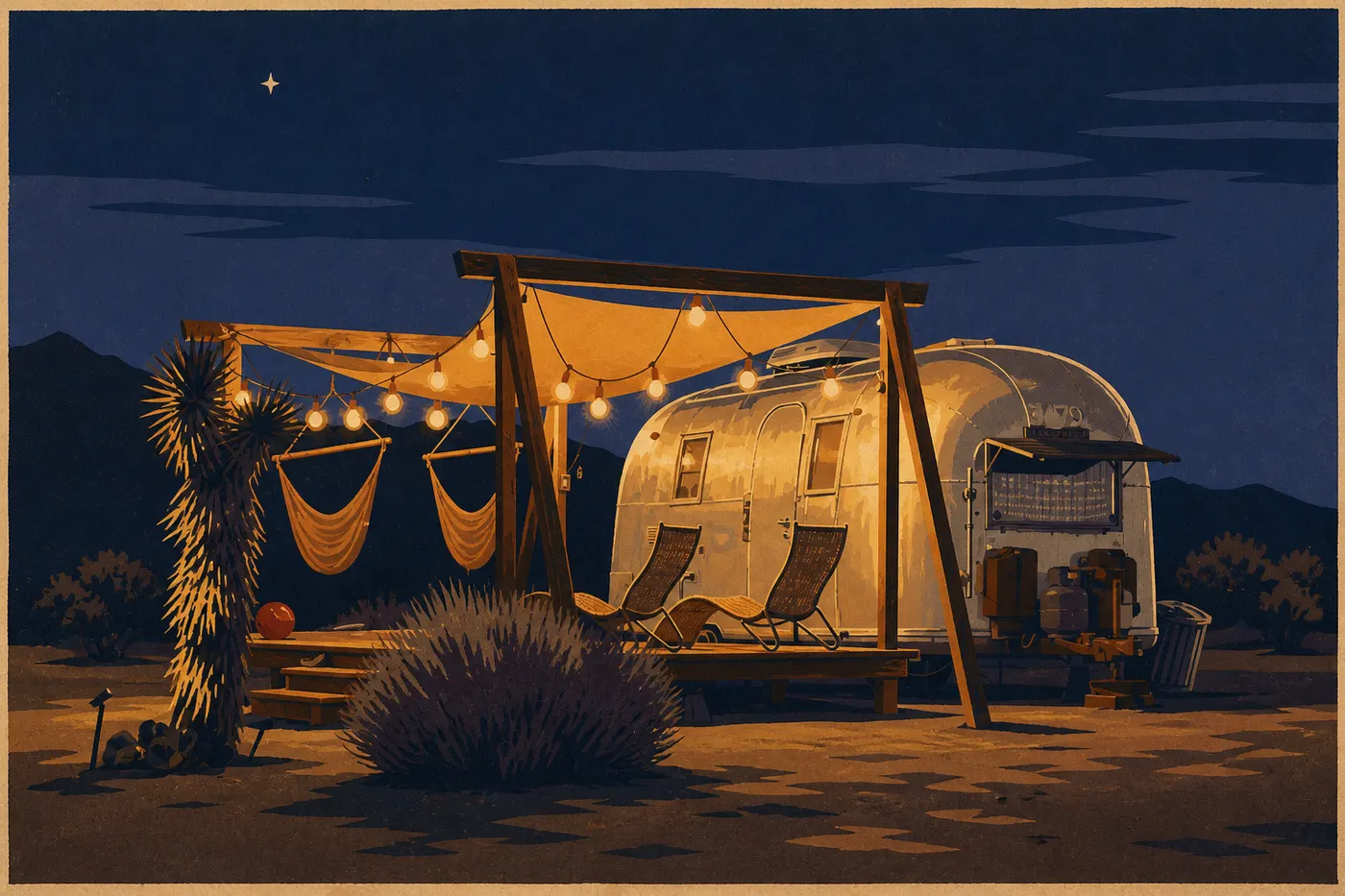
Two deserts meet here. Below, the Colorado Desert is dry and mineral, bristling with cholla gardens that catch the evening light. Above, the Mojave lets Joshua trees grow, those twisted-armed yuccas that gave the park its name and draw climbers from around the world to scramble among the monzogranite boulders. We climb to Keys View for a sweeping look across the Coachella Valley and, on a clear day, the San Andreas Fault. At night, far from the coastal lights, the sky fills with stars. Joshua Tree is an International Dark Sky Park, and we spend the trip's first night looking up.
Act II. Las Vegas, Then Zion and Bryce, Entering the Grand Circle
From Joshua Tree, we head northeast through Las Vegas, more of a logistical stop than a destination. The city is the ideal place to buy groceries, fill the tank and spend a night before tackling the canyons: weekday prices are low, and everything stays open around the clock. An evening on the Strip, a good night's sleep, and we're on the road at dawn while the city is still asleep. In under three hours, the neon gives way to the first red cliffs.
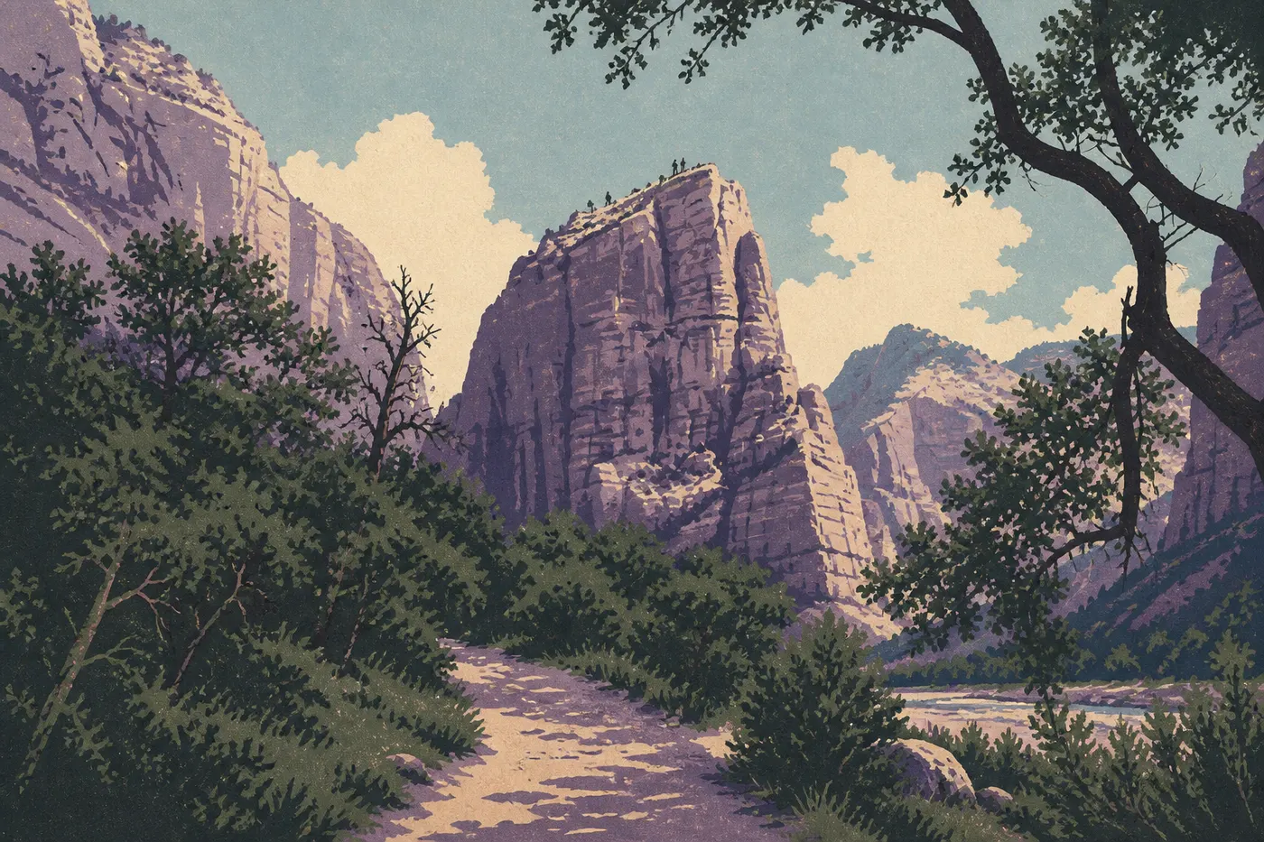
Springdale announces Zion before you even reach the entrance. The small town stretches beneath walls that rise straight into the sky. In season, a mandatory shuttle runs up the canyon, with private cars banned from the scenic road, making the area surprisingly peaceful. We get off at Temple of Sinawava for the Riverside Walk, then, if the flow and weather allow, step into the river. The Narrows lead up the Virgin River between walls so close together that they block out the sun. Strong-legged hikers set their sights on Angels Landing and its chain-assisted ridge, now subject to a permit lottery. Everyone else can stick to the Emerald Pools or Canyon Overlook. At Zion, even the easy walks deliver.
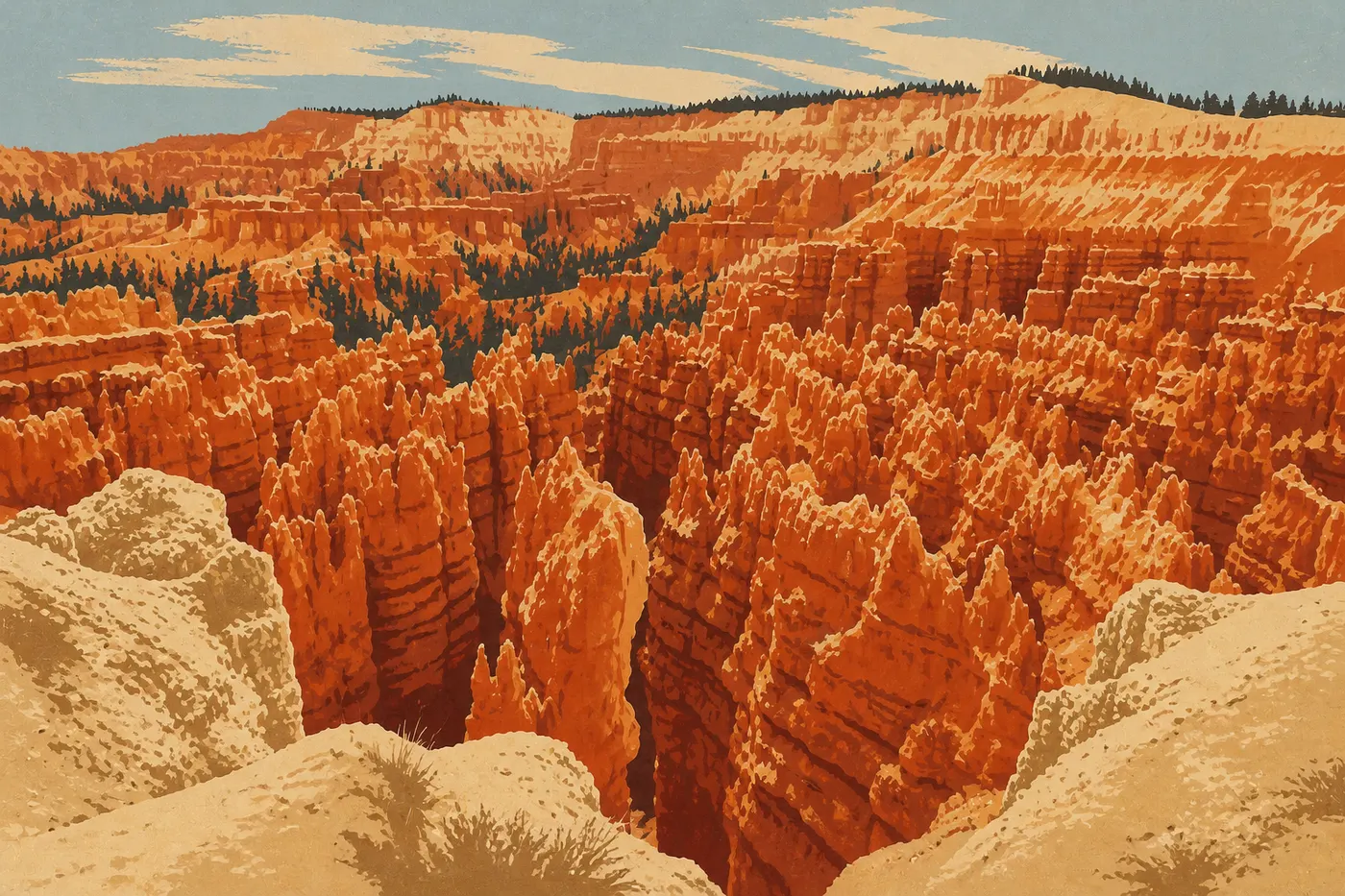
The next day, we leave Zion through the east entrance along the Zion-Mount Carmel Highway, a road carved into sandstone that dives through a tunnel from another era before emerging onto a higher, cooler plateau. It takes just 1.5 hours to reach Bryce Canyon, and the contrast is total. This isn't a river-carved canyon, but a cliff edge eaten away by frost into an army of hoodoos, orange limestone spires that the sunrise sets ablaze. We take in Sunrise, Sunset and Inspiration Points, then descend into the amphitheater via the Navajo Loop and Queen's Garden. Walking among the spires with your head tilted back is worth every overlook above. Bryce rises above 7,900 feet and can freeze even in summer. It's the trip's first major jump in elevation.
Act III. Scenic Byway 12, Capitol Reef and Moab, Sandstone Country
Between Bryce and Moab, we could take the shortest route. Instead, we choose Scenic Byway 12, one of the country's finest roads and an official All-American Road. It winds into Grand Staircase-Escalante, crosses wooded passes, then tightens along the Hogback, a strip of pavement barely wider than the roadway with a drop on either side. The Calf Creek stop, a waterfall at the end of a sandstone canyon, breaks up the drive midway. At the end, Byway 12 climbs the slopes of Boulder Mountain and drops back down to Torrey, the gateway to Capitol Reef.
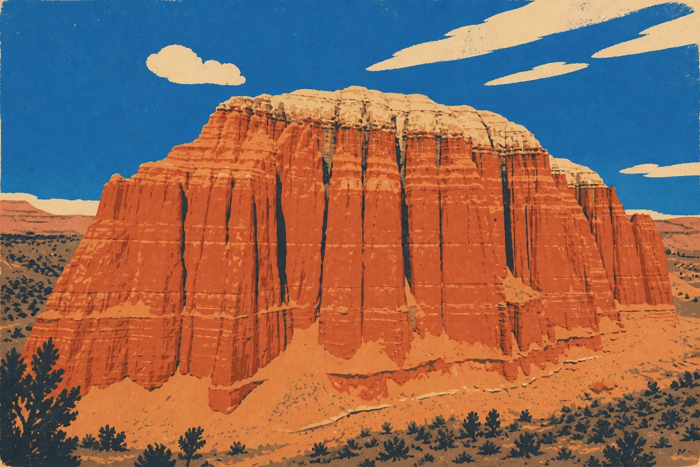
Capitol Reef is the quiet park on this route, and often the favorite of people who discover it. It protects the Waterpocket Fold, a 100-mile wrinkle in the Earth's crust, a folded rock wall that the road cuts through at a break. In the heart of the park, the Fruita settlement preserves the orchards planted by Mormon settlers. In season, you can pick your own apples and apricots, and Gifford House sells pies worth stopping for. The Scenic Drive then runs beneath the cliffs to Fremont culture petroglyphs. We head east late in the day. Via Route 24 and Interstate 70, Moab is 2.5 hours away.
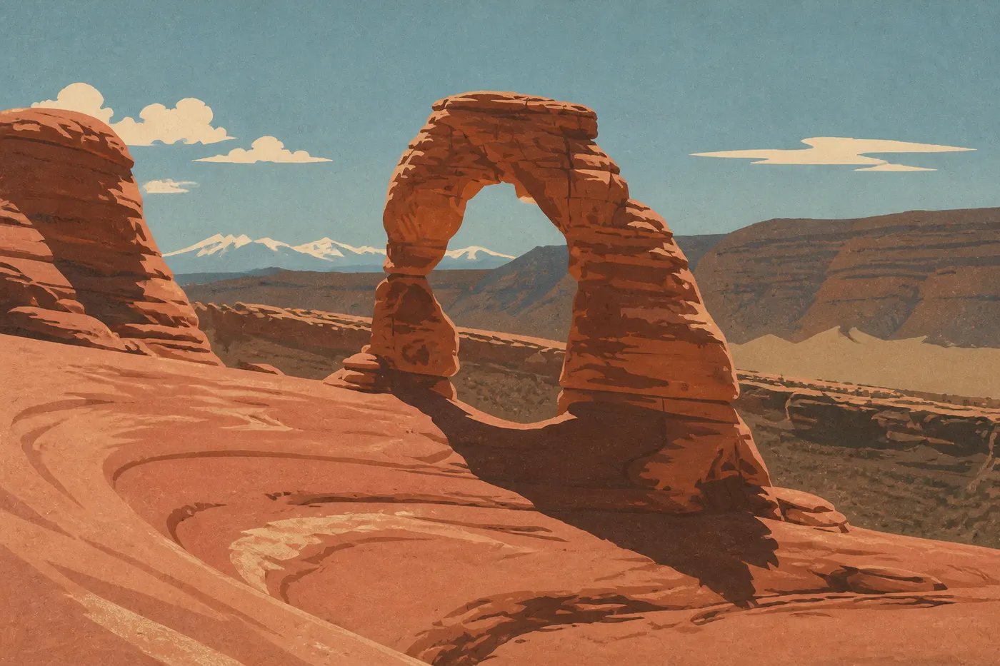
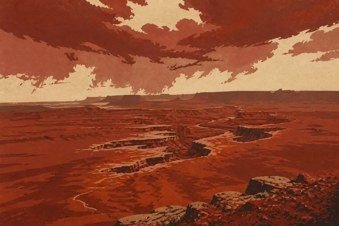
Moab is the only real town on the route, tucked into a bend of the Colorado River and surrounded by red rock on every side. We base ourselves here for three nights to visit two neighboring, contrasting parks. We start early each morning. The light is better and the heat is easier to handle. Arches lives up to its name: the park catalogs more than 2,000 sandstone arches, and the most famous, Delicate Arch, rewards an approximately one-hour climb over bare rock, with the snowcapped La Sal Mountains in its frame. During peak season, timed entry reservations are required. Canyonlands plays a different tune, one of sheer scale. In the Island in the Sky district, we hurry to Mesa Arch at dawn, when the low sun sets the underside of the arch glowing, then continue to Grand View Point, open to layered canyons stretching to the horizon.
Act IV. Monument Valley, Page and the Grand Canyon, the Navajo Grand Finale
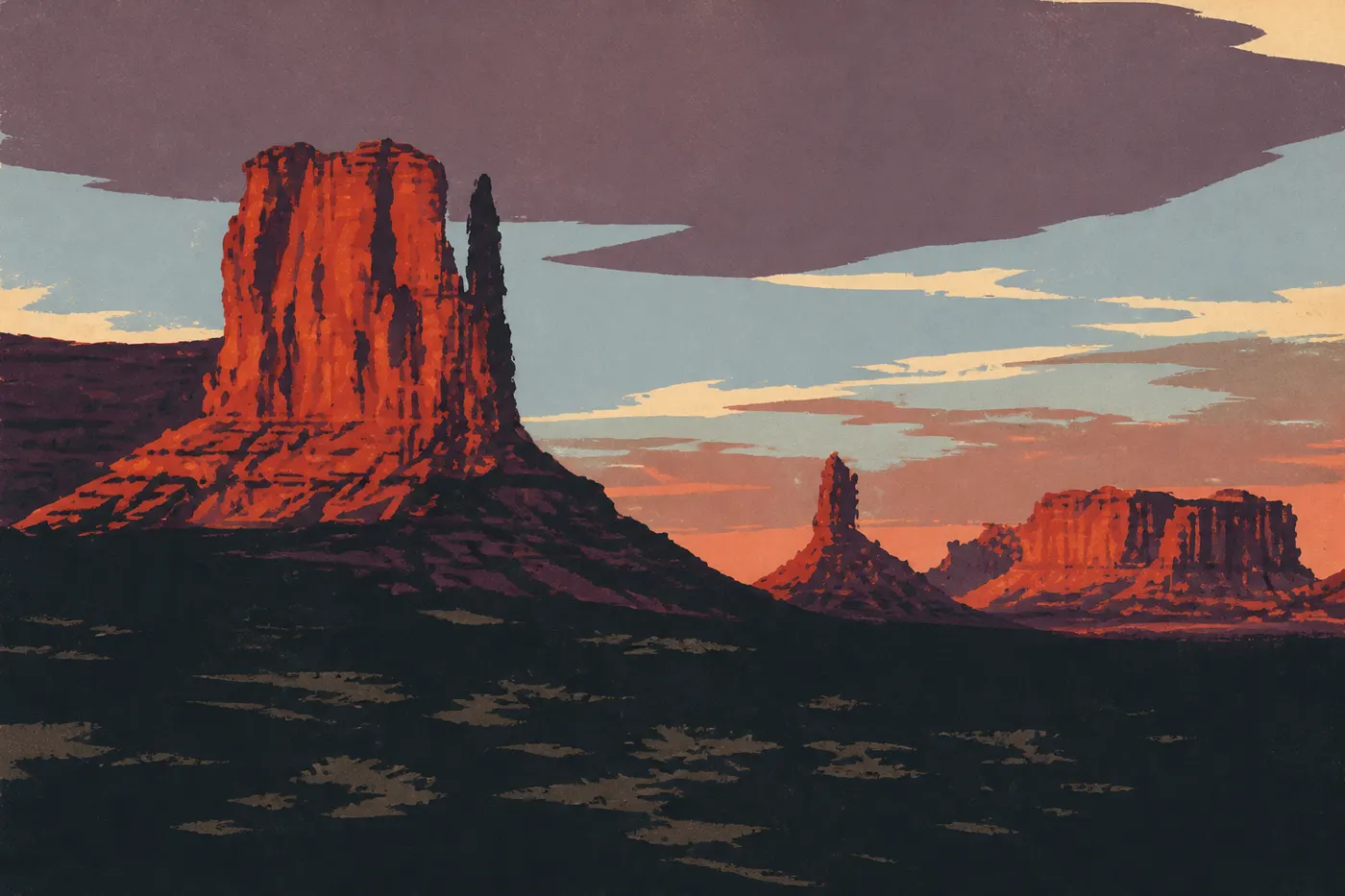
From Moab, we head straight south into the Navajo Nation. Routes 191 and 163 cross increasingly mineral desert before reaching Monument Valley along the famous straightaway at Forrest Gump Point, where the pavement runs toward the mesas like a runway. This isn't a national park but a Navajo tribal park, managed by the Nation with its own entrance fee. The distinction matters for time zones too. The Navajo Nation observes daylight saving time, unlike the rest of Arizona, a classic trap when planning sunrise. The heart of the site is reached via Valley Drive, a 17-mile dirt road winding among the buttes: West Mitten, East Mitten and Merrick Butte, sandstone hands with raised fingers that John Ford filmed in his westerns. Sunset from The View's terrace closes the day.
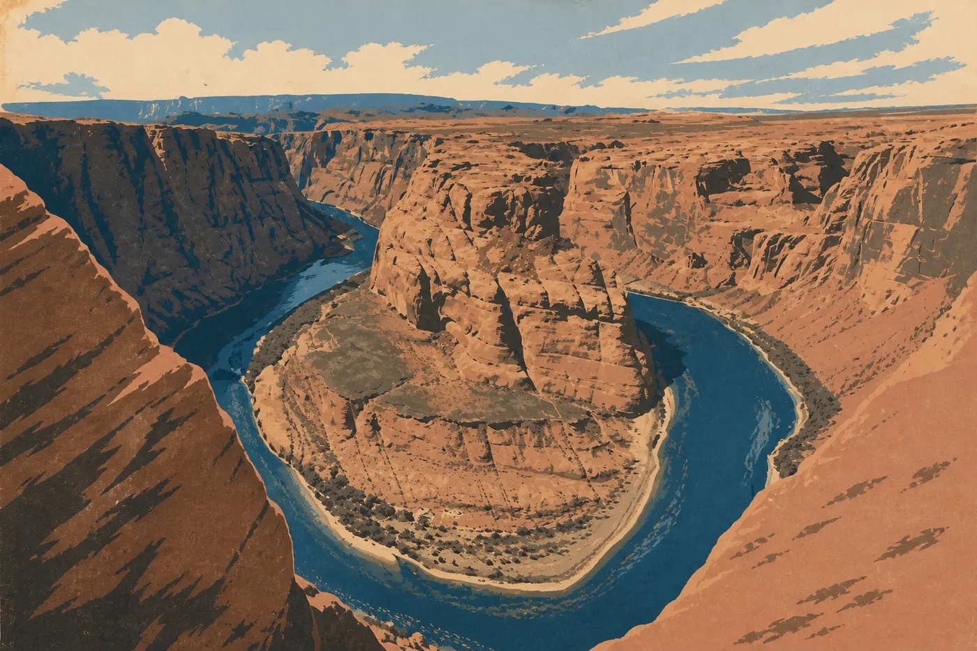
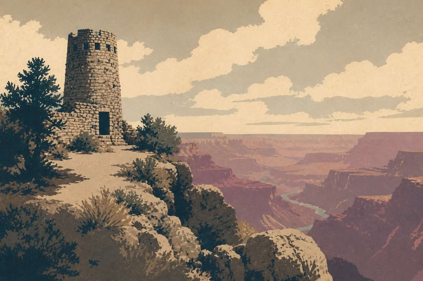
The next day, a two-hour drive west brings us to Page, the town on Lake Powell. Here, the Colorado River, held back by Glen Canyon Dam, has shaped two wonders. First comes Horseshoe Bend, the horseshoe-shaped meander viewed from the end of a short walk from the parking lot, with the river coiled 1,000 feet below around a sandstone butte. Then Antelope Canyon, the slot canyon with undulating walls where light falls in columns through the dust, accessible only with a Navajo guide. Then we head toward the main event through the most beautiful entrance. From Cameron, we enter the Grand Canyon from the east at Desert View, where the watchtower designed by Mary Colter in 1932 overlooks the first view of the gorge.
Nothing really prepares you for the scale: 5,000 feet deep, nearly 280 miles long, with the Colorado River reduced to a green thread far below. We spend a full day on the South Rim. The free shuttle serves overlooks closed to cars, the Rim Trail follows the edge almost entirely level, and stronger hikers descend partway along South Kaibab or Bright Angel, remembering that the climb back costs twice as much. Sunset from Mather Point or Hopi Point closes the desert sequence with its broadest image. You might think this is the end of the trip. It's only the halfway point.
Act V. Death Valley and Climbing the Sierra Through Lone Pine
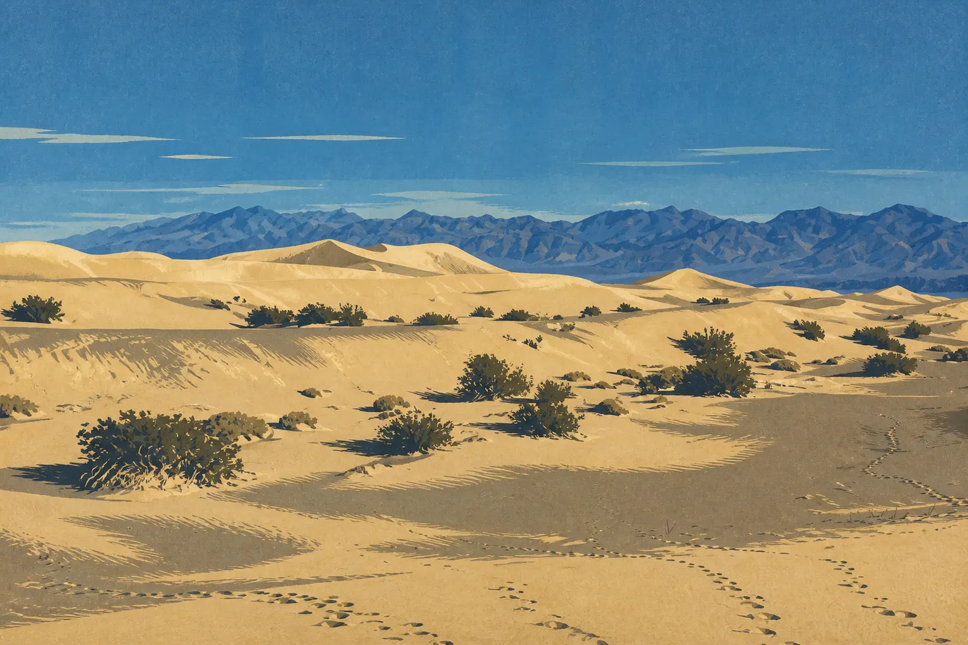
The trip's longest transfer starts here, and it's worth every mile. From the Grand Canyon, we head west, skirt Las Vegas and then drop into Death Valley, a world apart. The park breaks records. It's the hottest place on Earth, the driest in the United States and the lowest point in North America. At Badwater Basin, we walk across a hexagonal salt crust, 282 feet below sea level. Mesquite Flat's dunes ripple at sunrise, Zabriskie Point unfolds golden badlands, and Artist's Palette spreads green and pink oxides across the mountainside. You can cross Death Valley in one long day, but a night at Furnace Creek lets you catch the low morning and evening light, the only light that does the place justice.
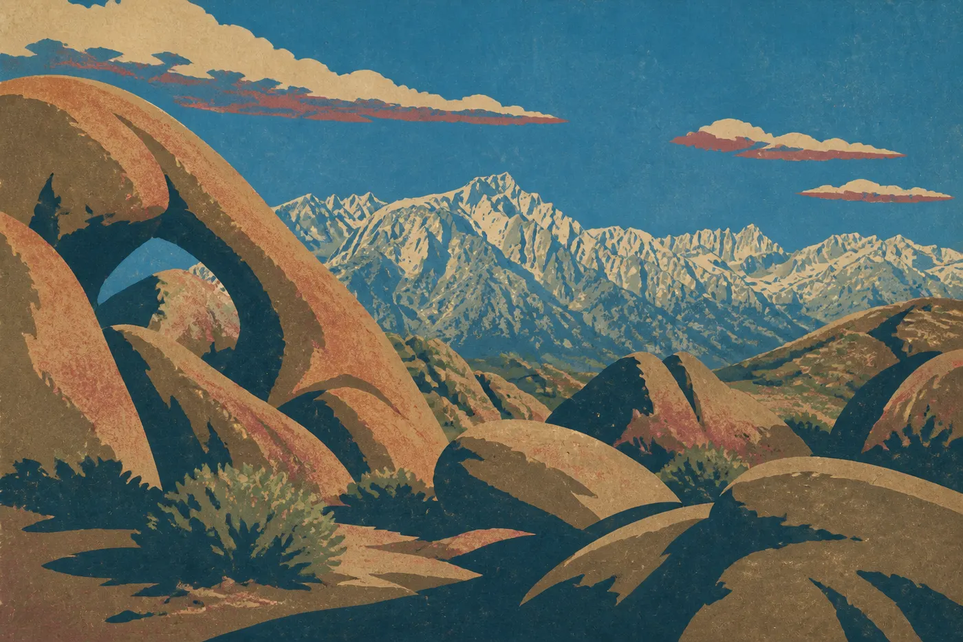
Then comes the great contrast. From Furnace Creek, the road climbs over the Panamint Mountains, drops to Panamint Springs and emerges in the Owens Valley at the foot of the Sierra Nevada. In Lone Pine, we look up. The granite wall fills the horizon, with Mount Whitney piercing it at 14,505 feet, the highest point in the contiguous United States. Two days earlier, we were at the continent's lowest point. Now we're looking at the highest. Just west of town, Alabama Hills lines up its rounded rocks and natural arches, including Mobius Arch, which frames Whitney perfectly. Hollywood filmed hundreds of westerns here, and the light on the granite at sunset makes it easy to see why.
Act VI. Yosemite, San Francisco and the Return Along Highway 1
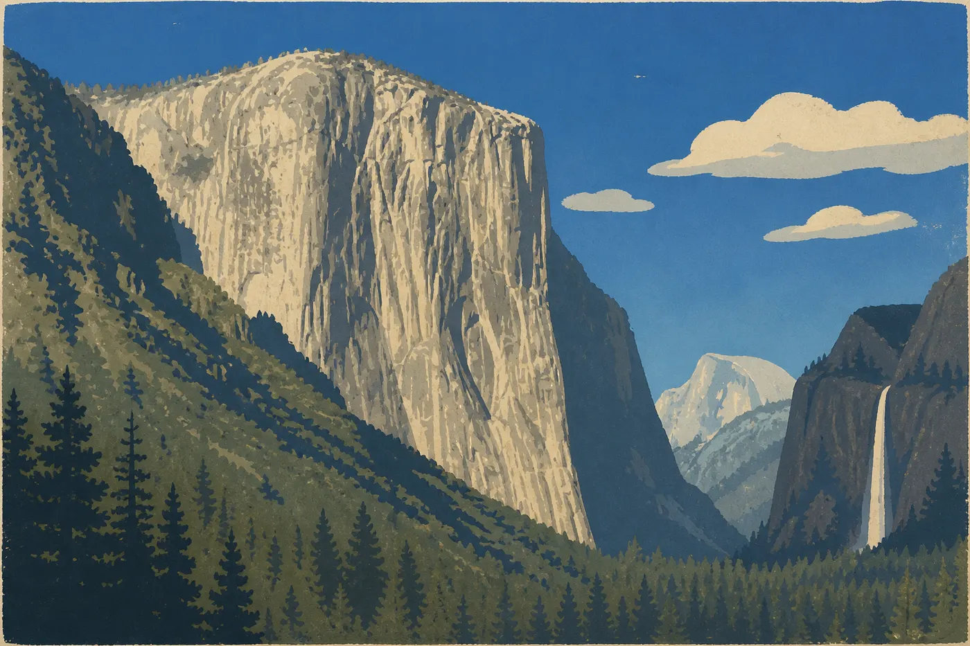
From Lone Pine, we tackle the Sierra via Tioga Road, California's highest east-west route. It climbs to Tioga Pass, above 10,000 feet, skirts the high-country meadows and lakes of Tuolumne Meadows, then descends toward the valley of Yosemite. Arriving through Tunnel View remains one of the trip's great moments. The valley opens all at once, El Capitan raises its 3,000-foot granite wall on the left, Bridalveil Fall drops on the right, and Half Dome closes the view in the distance. We spend two nights there, enough time to look up beneath El Capitan, walk at the foot of the waterfalls and, for strong legs, climb toward Glacier Point or Vernal Fall. Yosemite is the trip's green high point after so much bare rock.
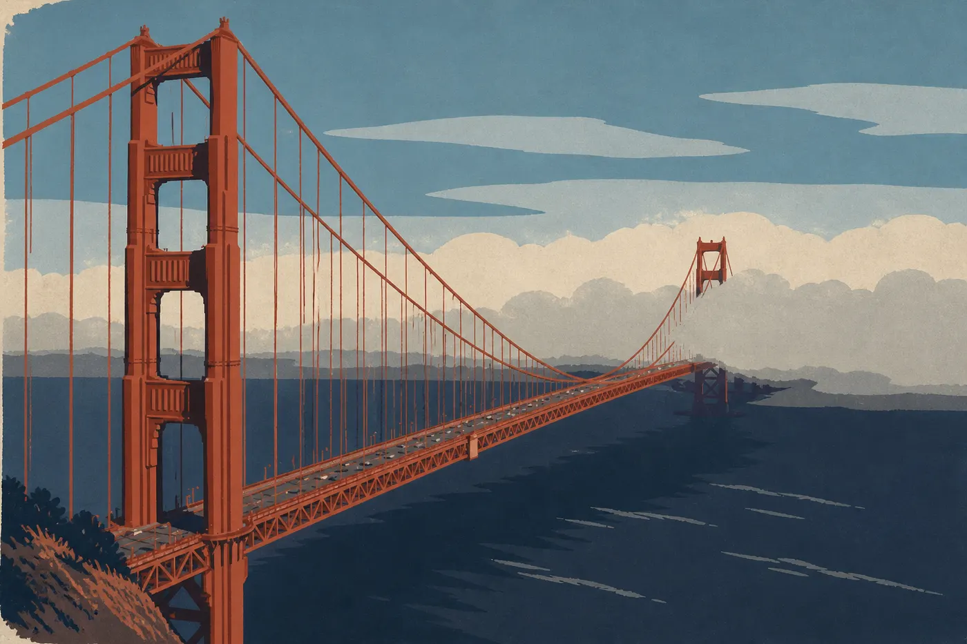
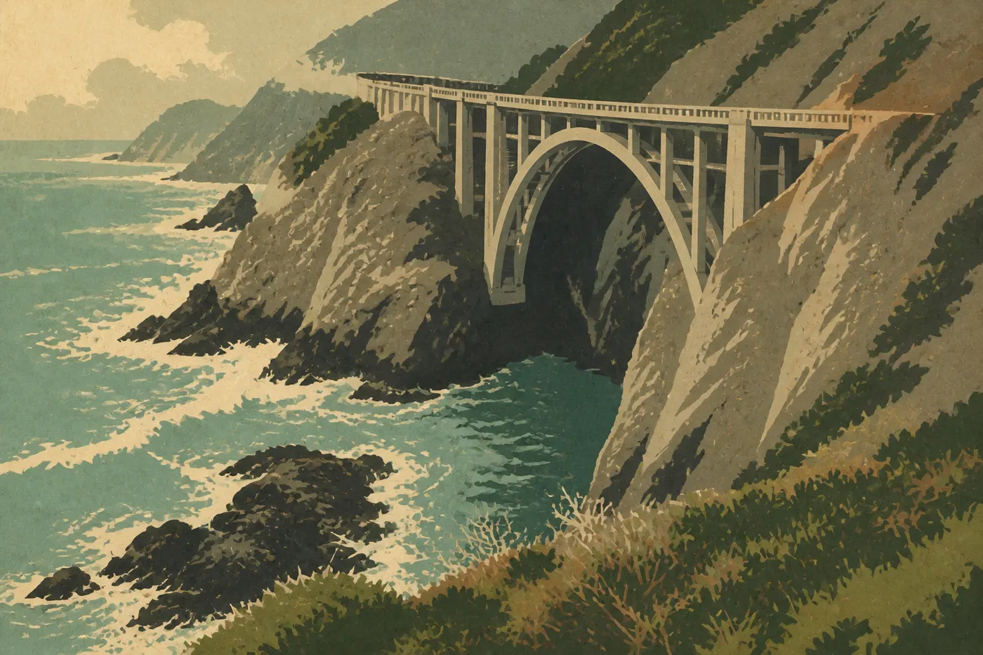
We then descend west toward the Bay Area. San Francisco deserves two nights, if only to watch the fog swallow the Golden Gate and give it back, orange against gray. Alcatraz, the steep streets and the neighborhoods along the bay give us an urban breather before the final stretch. We leave south, reach Monterey and its aquarium, one of the country's finest, then join Highway 1. Big Sur unfolds its cliffs: Bixby Creek Bridge thrown over the void, McWay Falls dropping straight onto an inaccessible beach, viewpoints around every bend. We drive slowly, stop often and return to Los Angeles with our heads full, three weeks after leaving. The loop is complete.
The 21-Day Itinerary, Day by Day
Here's how the three weeks fit together without rushing, act by act. Drive times are rough estimates, so adjust them using current maps. Four nights are non-negotiable and deserve to be booked first: two nights in Yosemite and two at the Grand Canyon, where crowds fill the lodging months ahead.
When to Go, and the Tioga Road Question
This route has one constraint that controls the calendar: Tioga Road, which crosses the Sierra to Yosemite, stays closed under snow all winter. It generally opens only in late spring, often not before late May or June, and closes again with the first major snowfalls, sometimes as early as October. To drive the loop as described here, aim for June through early October. Late spring and early fall offer the best combination: clear light, thinner crowds, canyon heat that's still manageable and Tioga Pass open.
Summer brings the most visitors and intense heat in the deserts. In Moab, the low-elevation canyons and especially Death Valley, the thermometer readily climbs above 104°F and often much higher. Hike at dawn or skip it. Bryce, the Grand Canyon and Tioga Pass are all at elevation and stay cool even in July, so pack layers. The temperature difference between Death Valley and Tioga Pass can run into the dozens of degrees in a single week.
The Cost of Three Weeks
We give rough estimates in dollars per person for two travelers. Western prices change quickly, so build your exact budget from current quotes. Three weeks inevitably cost more than a short trip, but the loop from Los Angeles removes the most devious expense, the one-way car rental fee.
If you're flying from abroad, the flight to Los Angeles is the first major expense, and its cost varies with the season, departure point and connections. The 21-day car rental comes next: the daily rate multiplied by the length of the trip, plus insurance. For two people, count on a substantial share of the budget, without a one-way fee since you return the car in Los Angeles. For about 2,500 miles of driving, fuel costs depend on your vehicle and current prices.
Lodging is the real variable, and it creates the biggest gap between the two styles of travel. A couple who camps, stays in budget motels, cooks some meals and targets smaller towns can keep nightly costs relatively low. A couple who strings together downtown hotels and park lodges, eats at restaurants and wants to sleep near the sights will spend substantially more. Over 20 nights, the difference adds up quickly. For the parks, one purchase changes everything: the America the Beautiful pass, around $80 for the year, covers admission to the route's nine federal national parks for the entire vehicle. At roughly $30 per park, it pays for itself by the third one.
One final word on official fees: check the prices in effect when you leave. A surcharge for nonresident visitors to national parks has been discussed for 2026.
The national parks on this road trip
Variations on the Route
Reverse direction, San Francisco first. Nothing stops you from driving the loop the other way: land in Los Angeles, head first along Highway 1 to San Francisco, cross the Sierra east via Tioga Road, drop into Death Valley, then travel back through the entire Grand Circle to Zion before returning through Joshua Tree. This direction keeps the car on the ocean side of Highway 1, a real advantage at the overlooks, but puts the Grand Canyon and deserts at the end rather than as a midpoint climax. It's a matter of taste. Do you want to open on the coast or save it for last?
Skip the coast and return the car in Las Vegas. No time for the Sierra and Highway 1? Cut the loop after the Grand Canyon and return the car in Las Vegas. The trip then focuses on its desert half, the Grand Circle and the Utah and Arizona parks, in about two weeks. You lose Death Valley, Yosemite and the coast, but gain a denser trip with less driving. The coast gets its own full treatment in our Pacific Coast road trip, given the time it deserves.
Frequently Asked Questions
Is three weeks enough for this Western USA road trip?
Yes, and it's the right length to see everything without rushing. This three-week Western USA road trip takes in everything the region has to offer at an unhurried pace. Twenty-one days give you time to connect Joshua Tree, Zion, Bryce, Capitol Reef, Arches, Canyonlands, Monument Valley, the Grand Canyon, Death Valley and Yosemite, with a full day for each highlight and Highway 1 as a bonus. With fewer than eighteen days, you'll need to cut either the coast or the Sierra.
Which way should you drive this three-week USA road trip?
We leave Los Angeles heading east, travel up the Grand Circle to the Grand Canyon, cross Death Valley, climb the Sierra via Tioga Road, then return through San Francisco and along Highway 1. This direction builds the desert section toward the Grand Canyon, creates the great contrast between the country's lowest and highest points, and finishes gently on the coast.
What budget should you plan for a three-week USA road trip?
Flight costs vary widely by departure point, season and connections. The rental car and gas make up the second major block, while lodging changes everything, from budget motels and camping to much more expensive hotels and lodges. The America the Beautiful pass, about $80, covers the route's nine national parks. Watch out for extras outside the pass and rental add-ons.
Can you do this route in winter?
Not as written. Tioga Road, which crosses the Sierra toward Yosemite, stays closed under snow all winter. Outside the June-to-October window, take the southern alternative via Bakersfield and Fresno to reach Yosemite, or skip the Sierra and head straight to the coast.
Do you need a national parks pass?
The America the Beautiful pass, around $80 for the year, covers admission to the route's nine federal national parks for the entire vehicle and pays for itself by the third park. Monument Valley, a Navajo tribal park, along with Horseshoe Bend and Antelope Canyon near Page, charge separate entrance fees payable on site.