
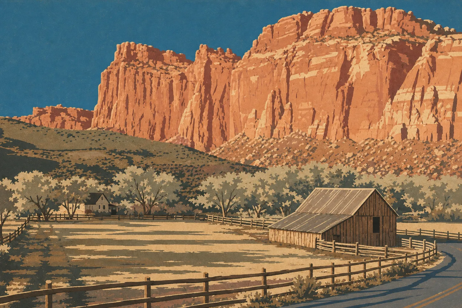
Capitol Reef National Park: The Complete Visitor Guide
Capitol Reef is the park most road-trippers drive through without stopping, and they are missing out. Tucked between Bryce Canyon and Moab, this south-central Utah park protects the Waterpocket Fold, a massive rock fold stretching nearly 100 miles. You will find pioneer orchards, white sandstone domes, Fremont petroglyphs, and roads leading to classic Far West landscapes. Allow half a day for the highlights you can reach by car, and one to two full days if you want to hike and venture into the more remote areas.
The short answer: Capitol Reef is explored along Highway 24, which is free, and the fee-based Scenic Drive. The main visitor area, Fruita, takes 2 to 3 hours to see. Plan a full day if you want to add a hike, and two days if Cathedral Valley in the north is on your list.
Capitol Reef at a Glance: Where the Park Is and How to Get There
The park stretches across south-central Utah along a long north-south corridor that follows the Waterpocket Fold. The only paved road crossing it is Highway 24, running east to west. The nearest gateway town is Torrey, about 10 minutes from the visitor center.
From the east and Interstate 70, take exit 149, then UT-24 toward Hanksville. The drive is about 43 miles, followed by another 37 miles west on UT-24. From the west and I-15, reach the park via Scipio and then Highways 50 and 24. Capitol Reef has no shuttle service, so you need a car. Any vehicle is fine for the paved roads.
The park is open 24 hours a day, every day of the year. The visitor center is open daily except on certain holidays, with hours that change by season. Make it your first stop. You will find maps, road conditions, and the day's weather there.
Entrance Fees, Passes, and Reservations
Entry to Capitol Reef costs $20 per private vehicle and is valid for 7 days. The fee is $15 for motorcycles and $10 per person for visitors arriving on foot or by bicycle. If you are visiting several parks in the West, the America the Beautiful pass, which covers all federal parks for a year, is usually the better deal. Capitol Reef also offers its own annual pass for $35.
Here is what is free: driving Highway 24, stopping at the visitor center, hiking to Hickman Bridge, and visiting Fruita. The fee starts at Scenic Drive, the paved road that heads south toward Capitol Gorge. Pay at a self-service kiosk, and bring a payment method in case the visitor center is closed. Capitol Reef does not currently require a timed entry reservation, unlike nearby Arches.
For current fees, passes, and free activities, head to our Fees & Passes page. And if you collect stamps, the visitor center desk can update your Passport & Stamps.
Reservations, Permits, and Rules to Know
To enter the park: You do not currently need a timed entry reservation. Just show up at the entrance, at any hour.
For camping: Reserve Fruita Campground through Recreation.gov, especially from April through October. Outside those months, sites are first-come, first-served. Cathedral Valley and Cedar Mesa campgrounds are also first-come, first-served, with no facilities. In most cases, there is no water or restroom.
For hikes: Standard trails do not require a permit. Some multi-day backpacking routes require a free permit, available at the visitor center.
Rules to know before you enter:
- Dogs are allowed in the park but prohibited on nearly all trails. Keep them leashed at all times.
- Do not collect rocks, fossils, or natural objects. It is a federal offense.
- Drones are strictly prohibited in all U.S. national parks.
- You may pick fruit in the designated Fruita orchards. It is free to eat on site and costs extra to take fruit with you.
For rules on off-trail travel and wilderness areas, see our Practical Information, Rules & Safety page or ask a ranger directly.
Getting Around Capitol Reef
Plan your visit around two paved roads and several wilder areas. Here is how the park fits together.
Highway 24 crosses the park from east to west. It provides access to the visitor center, Fruita, Fremont petroglyphs, and the trailhead for the hike to Hickman Bridge. It is free and drivable in all weather.
Scenic Drive heads south from the visitor center for about 6 miles on pavement. It serves the Fruita orchards, then reaches two spectacular dead ends on short dirt roads: Grand Wash and Capitol Gorge. Both are gorges where you walk between towering walls.
The remote areas, including Cathedral Valley to the north and the Waterpocket Fold to the south, require high clearance, often four-wheel drive, and dirt roads that become impassable after rain. Do not head out on a whim. Check road conditions at the visitor center before you go.
How Much Time Do You Need to Visit Capitol Reef?
It depends on how much you want to hike. If you are passing through, allow 2 to 3 hours for a stop at the visitor center, a look around Fruita, and a quick round-trip hike to Hickman Bridge. For a full day, add the entire Scenic Drive, a walk through Grand Wash or Capitol Gorge, and a slice of pie at Gifford Homestead.
Two days let you see much more of the park. Spend one day in Fruita and on the central area's trails, including Cassidy Arch, Cohab Canyon, and Navajo Knobs. Use the second for an adventure into Cathedral Valley and its monoliths. Beyond that, Capitol Reef is best enjoyed at a slower pace, away from the crowds.
To fit this timing into a day-by-day itinerary, we have laid out several options on our Itineraries & Time page.
Plan your visit
What to See and Do in Capitol Reef
The park unfolds by area, from the most accessible places to the wildest ones. Here is the big picture. You will find the details in our Things to Do page.
Road trip journal · 4 areas
Fruita, the Heart of the Park
Fruita is a former Mormon pioneer settlement tucked along the Fremont River and surrounded by orchards planted in the late 19th century. In season, you can pick your own apples, pears, or cherries in the open orchards for a small fee. Gifford Homestead, a restored historic house, sells homemade pies and preserves that are worth a stop. Nearby, the old Fruita Schoolhouse and the Fremont petroglyph panel tell the story of a thousand years of human presence.
Scenic Drive and Its Gorges
The paved road runs straight south beneath cliffs streaked with red and ocher. At the end, you can usually walk through two dry gorges: Grand Wash, a broad corridor between sandstone walls, and Capitol Gorge, where pioneers carved their names into the rock. The famous Pioneer Register is here. Grand Wash also leads uphill to Cassidy Arch, which you look down on rather than up at.
Cathedral Valley, the Northern Area
North of Highway 24, a desert of isolated monoliths rises from a bare plain. Temple of the Sun and Temple of the Moon, two red sandstone towers, are the highlights. The loop follows dirt roads and includes a ford across the Fremont River. You need a suitable vehicle, and you must check road conditions before setting out.
The Waterpocket Fold, the Southern Area
This is the park's geological backbone: a nearly 100-mile monocline formed millions of years ago, where rock layers rose and then eroded into a barrier, or the “reef” in the park's name. The southern area around Notom-Bullfrog Road and Strike Valley Overlook offers the broadest views of this landform, far from everything.
Explore the park
The Best Hikes in Capitol Reef
Capitol Reef has hikes for every ability level. Hickman Bridge, a short round-trip hike from Highway 24, leads to a massive natural arch and is the quintessential family hike. Cohab Canyon climbs from Fruita into a hidden canyon lined with sandstone alcoves. Cassidy Arch rewards a sustained climb with a sweeping view over the arch. For strong legs, Navajo Knobs climbs steadily to a 360-degree overlook of the entire park.
Trail elevation gains, times, and maps, along with our advice to start early, are collected on our Hiking page.
The detailed guide The Best Capitol Reef Hikes for Every Skill Level The best Capitol Reef hikes by area and difficulty, with trailheads, elevation… Read the guide →Wildlife and Plants to Look For
The contrast is striking. On one side is a sandstone desert; on the other is Fruita's green oasis, fed by the river. You will likely see mule deer in the orchards early in the morning, as well as marmots, antelope squirrels, and a wide variety of birds along the Fremont River. Lucky visitors may spot a bighorn sheep on the higher ground. Fruita's historic orchards and cottonwoods turn bright yellow in the fall.
What you see depends heavily on the time of day and the season. We cover species and the best viewing spots on our Wildlife page.
The detailed guide Capitol Reef Wildlife: What Animals to See and Where to Find Them Mule deer, bighorn sheep, mountain lions, and lizards Read the guide →When to Visit Capitol Reef
Spring, from April through May, and fall, from September through October, offer the mildest conditions: pleasant temperatures, low-angle light, and fewer visitors. Fall also brings the orchard harvest and autumn color. Summer is hot and stormy. Monsoon rains can trigger flash floods in narrow canyons and make dirt roads impassable. Winter is quiet and sometimes snowy, with red domes dusted in white.
The park posts the day's weather at the visitor center. Check it before any hike through a gorge, and never enter a narrow canyon if rain threatens or has just fallen nearby. For a month-by-month breakdown, see our When to Go page. For real-time conditions and seasonal information, see our Weather page.
The detailed guide When to Visit Capitol Reef: Best Seasons and Month-by-Month Guide The best time to visit Capitol Reef is April-May and September-October Read the guide →Where to Stay in Capitol Reef
The park has no hotel. The only lodging inside the park is Fruita Campground, shaded by orchards and especially popular in spring and fall. For a real bed, Torrey, a few minutes west, has motels, lodges, and charming places to stay. Much farther east, Hanksville works as an overnight stop.
The dedicated pages below have the details and comparisons for each place to stay.
Stay in the park
Where to Eat in Capitol Reef
Inside the park, food options are limited to the pies and preserves at Gifford Homestead. They will take the edge off, but they are not dinner. For a full meal, Torrey has several good options, from an American diner to more polished restaurants. Bring water and a picnic for hiking days because once you are on the dirt roads, places to restock are scarce. Our tested recommendations are on our Where to Eat page.
Around Capitol Reef: Things to Do Nearby
Capitol Reef's location makes it a natural stop on a western road trip. To the west, Scenic Byway 12 climbs toward Boulder, Escalante, and Bryce Canyon along some of the country's most spectacular scenic roads. To the northeast, Goblin Valley State Park and its sandstone hoodoos are worth the detour. Head east to reach Moab, Arches, and Canyonlands.
To link these stops, use our Road Trips and Regions pages dedicated to Utah and the American West.
Our Take: Is Capitol Reef Worth the Detour?
Yes, for one simple reason: it is one of the “Mighty Five” parks that has kept visitor numbers manageable. While Zion and Arches are packed, Capitol Reef gives you room to breathe. When we visited one October morning, we had half of Grand Wash to ourselves, with golden cottonwoods thrown in. If you are only after the postcard views, Fruita and Scenic Drive are enough for half a day. If you like hiking, digging into geology, and getting off the beaten path, the park gives back many times the time you spend there.
Frequently Asked Questions
How Do You Visit Capitol Reef?
You visit Capitol Reef by car, along two routes: Highway 24, which is free and runs east to west, and Scenic Drive, which heads south and requires a fee. Start at the visitor center for weather and road conditions, explore Fruita, then hike to Hickman Bridge or through Grand Wash and Capitol Gorge. The remote areas of Cathedral Valley and the Waterpocket Fold require a high-clearance vehicle.
How Many Hours Should You Plan for Capitol Reef National Park?
Allow 2 to 3 hours for the highlights you can reach by car, including the visitor center, Fruita, and a short round-trip hike to Hickman Bridge. Plan a full day if you want to add Scenic Drive and a hike, and two days if you want to reach Cathedral Valley in the north. Our Itineraries & Time page offers schedules based on how much time you have.
What Are the Must-See Places to Visit in Utah?
Utah's must-see sites include the five national parks known as the “Mighty Five”: Zion, Bryce Canyon, Capitol Reef, Arches, and Canyonlands. Many travelers also add Monument Valley, Grand Staircase-Escalante, and Goblin Valley State Park. Quieter than its neighbors, Capitol Reef fits perfectly between Bryce and Moab on a western road trip.
Does Capitol Reef Have an Entrance Fee?
There is only a fee for part of Capitol Reef: $20 per vehicle to drive Scenic Drive, valid for 7 days. Highway 24, Fruita, the petroglyphs, and the hike to Hickman Bridge remain free. The America the Beautiful pass covers the fee if you are visiting several federal parks. Details are on our Fees & Passes page.
The American Parks shop
Bring Capitol Reef home
Our park-inspired creations, made to order and shipped to your door.
Latest park news
- Capitol Reef: The Scenic Drive Goes to Bikes on Two September SaturdaysOn Saturdays, September 19 and 26, 2026, Capitol Reef's Scenic Drive closes to cars until 3 pm for cyclists and walkers, while Highway 24 stays open.
- Capitol Reef Hands the Scenic Drive Back to Cyclists on Two September SundaysOn September 19 and 26, Capitol Reef closes its Scenic Drive to cars until 3 p.m. and reserves it for cyclists, walkers, and runners.
- Capitol Reef: No Running Water Right Now, Fill Your Bottles Before You Go InA pumping failure has left Capitol Reef without running water and closed the plumbed restrooms. Here's how to adjust your visit right now.