
A 15-Day American Southwest Road Trip: Las Vegas, Zion, Bryce, Moab, and the Grand Canyon
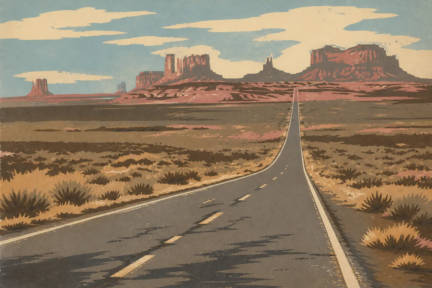
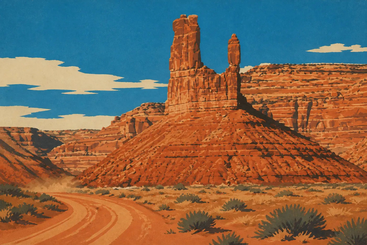
Six in the morning on U.S. 163, somewhere south of the Utah state line. The pavement runs straight to the horizon, without a bend, and meets three blocks of red sandstone rising from the desert: Monument Valley's mesas, still pink in the first light. It's the image Hollywood made famous, and it doesn't disappoint. Two days earlier, 186 miles to the north, the Virgin River reached our knees as we waded between walls hundreds of feet high in Zion's Narrows. Just the day before, Bryce's amphitheater had suddenly lit up at sunrise, with 10,000 orange limestone spires standing below us. And farther ahead on the map, there's a hole more than 3,000 feet deep where silence has real weight: the South Rim of the Grand Canyon.
This road trip links those images in one tidy loop. We leave Las Vegas, climb toward Utah's canyons, cross the Colorado Plateau through Zion, Bryce, Scenic Byway 12, and Capitol Reef, set up camp in Moab for Arches and Canyonlands, head south to Monument Valley, finish at the Grand Canyon, then return to Las Vegas along Route 66. Six national parks, two states, about 1,240 miles, and one constraint we stick to from start to finish: 15 full days, or two weeks for a trip that has room to breathe instead of racing the clock.
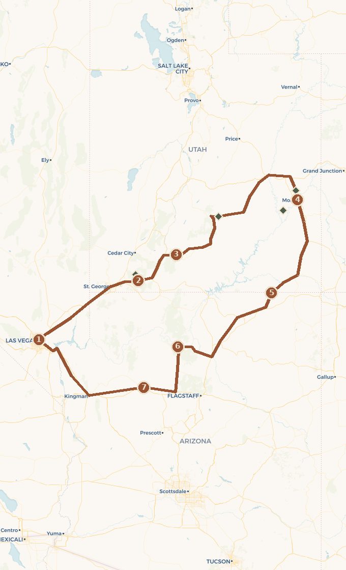 Base map © OpenStreetMap · © CARTO
 - 1. Las Vegas
- 2. Springdale et Zion
- 3. Bryce Canyon
- 4. Moab : Arches et Canyonlands, par la Byway 12
- 5. Monument Valley
- 6. Grand Canyon, rive sud
- 7. Seligman et la Route 66
1 stop national park on the route detour
Which Way to Drive This Loop, and How Long to Allow
You can drive the loop in either direction, but the one we recommend has a logic to it. We head first toward Utah's canyons, save the Grand Canyon for last, and return via Route 66. There are three reasons.
First, the elevation. Las Vegas sits almost at desert level, Zion eases you in, and Bryce peaks at around 8,200 feet. Gaining elevation gradually gives your body time to adjust and keeps you from tackling your first hike out of breath.
Then there's the drama. The route builds in intensity: Zion's walls, Bryce's hoodoos, Moab's arches, Navajo Country's monuments, and finally the Grand Canyon's absolute emptiness. Saving it for the penultimate act gives the trip its true climax. Drive the other way and you'd put the Grand Canyon on day two, then finish in the Strip's traffic. The tension fades.
Finally, the return. Route 66 between the Grand Canyon and Las Vegas makes an ideal, nostalgic, easygoing finale before you return the car. You end on a gentle note rather than in traffic.
Las Vegas and Getting Your Legs Under You
The trip begins with noise and neon, and that's just fine. Las Vegas is the most convenient airport for reaching Utah's parks, rental cars are available around the clock, and spending your first night there helps you get over jet lag before you take the wheel. We don't linger more than one evening: the Strip, dinner, a good night's sleep, and we're off early while the city is still asleep.
The drive northeast out of Las Vegas quickly shifts into the Mojave Desert, then into the Virgin River Gorge at the Arizona border. In just under three hours, the casinos have given way to the first red cliffs. Fill the tank and stock up on groceries before leaving town. Prices rise as you get closer to the parks, and gas stations become scarce on some stretches.
Zion, Then Bryce: The First Two Big Hits
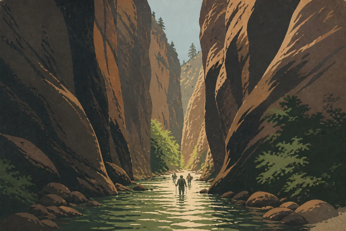
Springdale announces Zion before you even reach the park entrance. The little town stretches beneath cliffs that rise straight into the sky. Past the entrance, the mandatory shuttle runs up the canyon in season, and private cars are banned from the scenic road, which makes the place surprisingly quiet. We get off at Temple of Sinawava for the Riverside Walk, then, if the water level and weather allow, step into the river. The Narrows lead up the Virgin River between walls so close together they block out the sun. Strong-legged hikers aim instead for Angels Landing and its chain-lined ridge, now subject to a permit lottery. Everyone else can stick to the Emerald Pools or Canyon Overlook. At Zion, even the easy walks deliver.
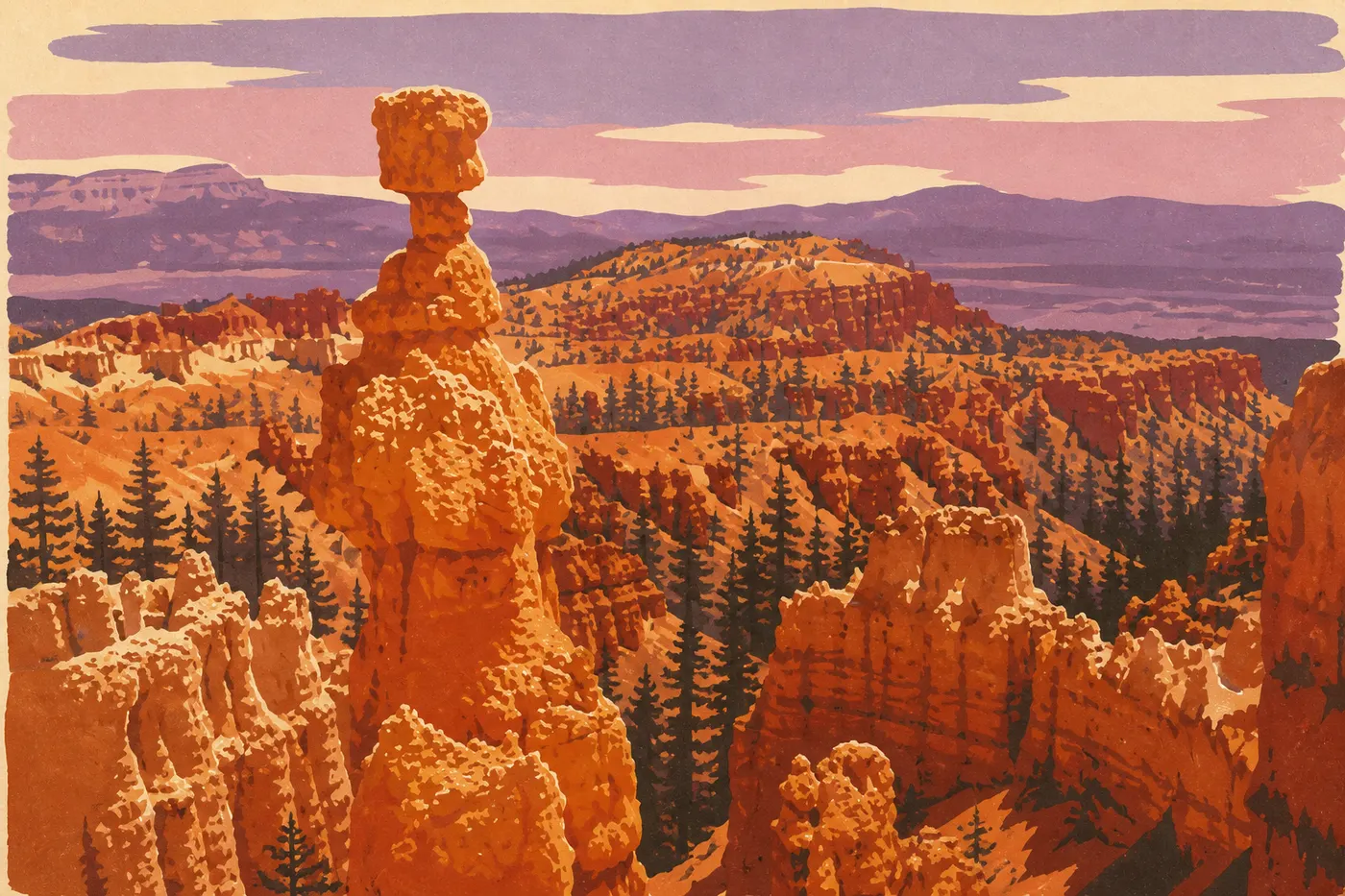
The next day, we leave Zion through the east side on the Zion-Mount Carmel Highway, a road cut through sandstone that dives into an old-fashioned tunnel before emerging onto a higher, cooler plateau. It takes an hour and a half to reach Bryce Canyon, and the contrast is total. This isn't a river-carved canyon, but a cliff edge nibbled by frost into an army of hoodoos, those orange limestone spires that sunrise sets ablaze. We make the rounds of Sunrise, Sunset, and Inspiration Points, then descend into the amphitheater via the Navajo Loop and Queen's Garden. Walking among the spires with your head tilted back is worth every overlook above.
Scenic Byway 12 and Capitol Reef: The Climb Toward Moab
Between Bryce and Moab, we could have taken the shortest route. Instead, we take Scenic Byway 12, one of the country's finest roads and a designated All-American Road. It cuts into Grand Staircase-Escalante, crosses wooded passes, then narrows along the Hogback, a strip of pavement barely wider than the road itself, with empty space on both sides. The stop at Calf Creek, a waterfall at the end of a sandstone canyon, breaks up the drive halfway through. At the end, Byway 12 climbs the slopes of Boulder Mountain and drops into Torrey, the gateway to Capitol Reef.
Capitol Reef is the quiet park on this route, and often the favorite of people who discover it. It protects the Waterpocket Fold, a 100-mile wrinkle in the Earth's crust, a folded wall of rock that the road crosses through a gap. In the heart of the park, the Fruita settlement preserves orchards planted by Mormon settlers. In season, you can pick your own apples and apricots, and Gifford House sells pies worth stopping for. The Scenic Drive then runs beneath the cliffs to Fremont culture petroglyphs. We head east late in the day. Via State Route 24 and Interstate 70, Moab is two and a half hours away.
Moab: Arches and Canyonlands
Moab is the only real town on the route, tucked into a bend of the Colorado River and surrounded by red rock on every side. We base ourselves here for two neighboring parks that couldn't be more different. We start early in the morning. The light is better and the heat is easier.
Arches lives up to its name. The park catalogs more than 2,000 sandstone arches, and the most famous, Delicate Arch, is earned after about an hour of climbing over bare rock. At the top, the arch stands alone, with the La Sal Mountains, still snowcapped, framing it. The Windows, Balanced Rock, and Landscape Arch, the park's longest, are easier to reach and line up one striking shape after another. In peak season, you need to reserve a timed entry slot in advance. Check before you go.
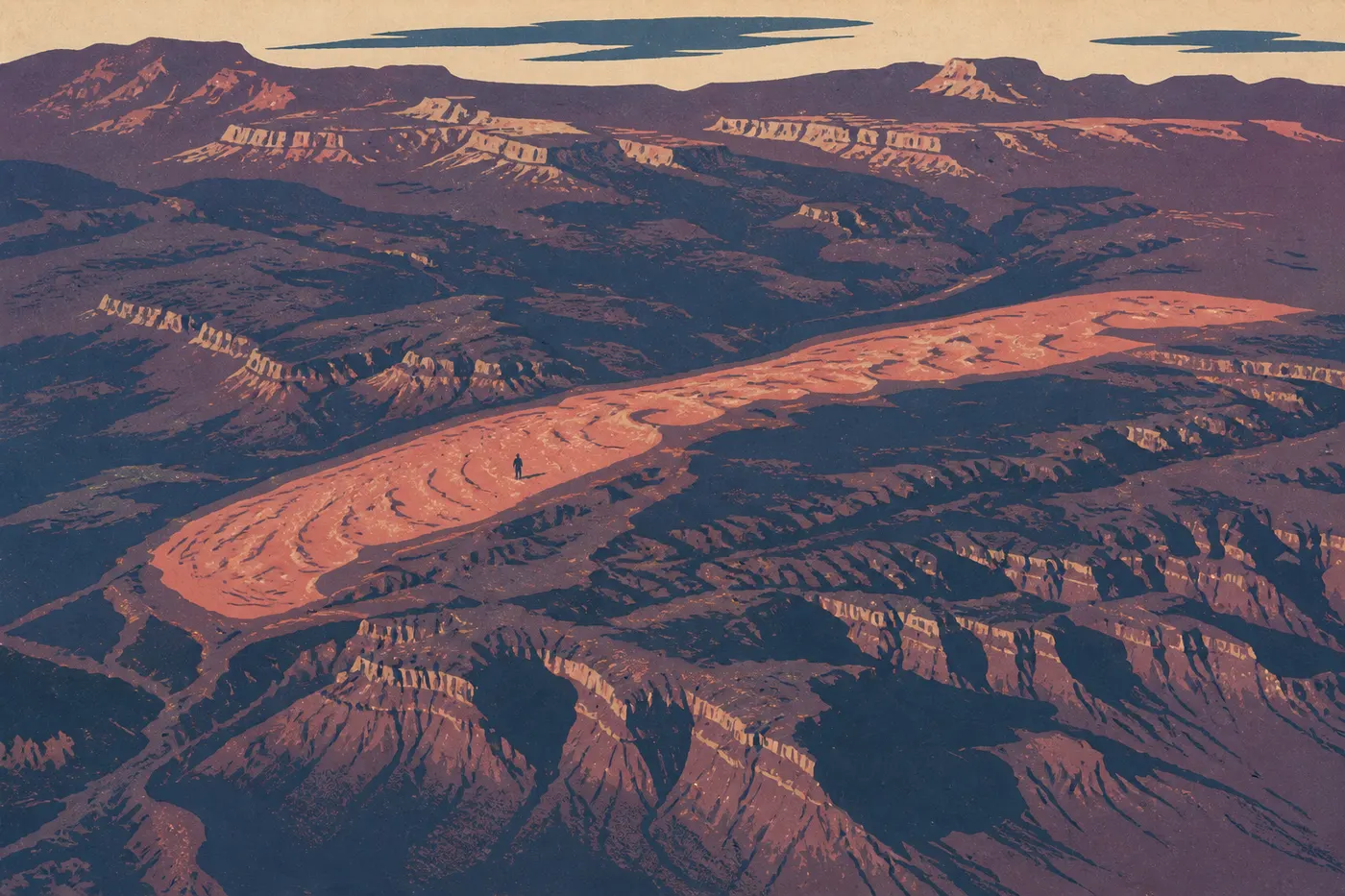
Canyonlands plays a different tune, one of immense space. The Island in the Sky district, closest to Moab, is a mesa suspended above the confluence of the Colorado and Green Rivers. At first light, we hurry to Mesa Arch. The low sun passes beneath the arch and sets its underside glowing, a minute of magic every photographer waits for. At the end of the mesa, Grand View Point opens onto layered canyons stretching to the horizon. The Needles and Maze districts, farther away and wilder, can wait for another trip.
Monument Valley: Navajo Country's Big Stage
From Moab, we head straight south into the Navajo Nation. U.S. 191 and then U.S. 163 cross an increasingly mineral desert, and we reach Monument Valley along the famous straightaway: Forrest Gump Point, where the pavement runs toward the mesas like a runway. This isn't a national park but a Navajo tribal park managed by the Nation, with its own entrance fee. The distinction matters for time zones, too. The Navajo Nation observes daylight saving time, unlike the rest of Arizona, a classic trap for sunrise visitors.
The heart of the site is reached via Valley Drive, a 17-mile dirt road winding between the buttes: West Mitten, East Mitten, and Merrick Butte, those sandstone hands with raised fingers that John Ford filmed in his westerns. You can drive it at your own pace in your own car if the road is dry, or go with a Navajo guide, the only people authorized to lead visitors into areas closed to the public. Sunset over the mittens from The View's terrace closes the day in one of the West's finest settings.
The Grand Canyon and the Return Along Route 66
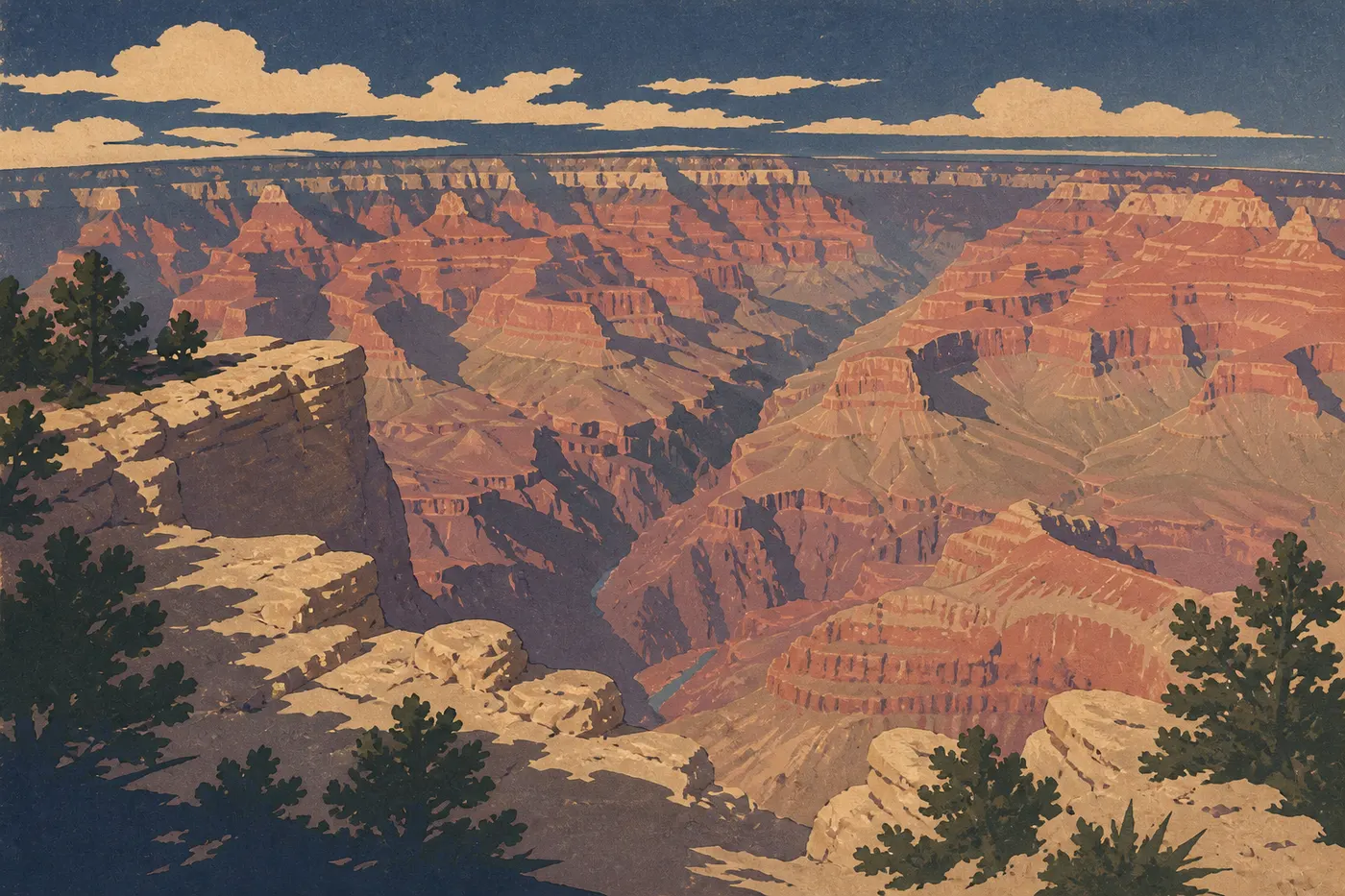
You reach the final major act through the most beautiful entrance. From Monument Valley, we head west through Kayenta, Tuba City, and Cameron, then enter the Grand Canyon from the east at Desert View. The watchtower designed by Mary Colter in 1932 presides over your first view into the chasm, and the rim road then follows the edge from overlook to overlook to the village. Nothing really prepares you for the scale: 3,280 feet deep, nearly 280 miles long, with the Colorado River reduced to a green thread far below.
We spend a full day on the South Rim. The free shuttle serves viewpoints closed to private cars, the Rim Trail follows the edge on nearly level ground, and stronger hikers can descend partway down the South Kaibab or Bright Angel trails, remembering that the climb back up costs twice as much. Sunset from Mather Point or Hopi Point closes the trip with its broadest view.
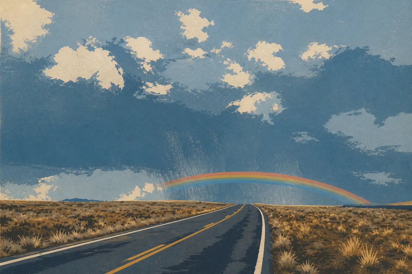
Then we head home, and Route 66 provides the perfect decompression. We reach Williams, the last stretch of the Mother Road bypassed by the interstate, then Seligman, the town that revived the legend. This is where barber Angel Delgadillo brought Historic Route 66 back to life in the 1980s, and the Snow Cap Drive-In still serves ice cream beneath its vintage signs. From Seligman, Interstate 40 and U.S. 93 bring us back to Las Vegas through Kingman and across the bridge over the Colorado River above Hoover Dam. The loop is complete.
The 15-Day Itinerary, Day by Day
Here's how the 15 days fit together without ever feeling rushed, act by act. Driving times are rough estimates, so adjust them using current maps.
When to Visit the Southwest
You can visit the Colorado Plateau year-round, but two windows stand out: late spring, from mid-April to early June, and early fall, from mid-September to late October. The light is crisp, crowds are thinner than in midsummer, and temperatures are manageable in lower-elevation canyons such as Arches and Canyonlands.
Summer brings the biggest crowds and intense heat. In Moab and deep in the canyons, temperatures can easily top 104°F, so hikes happen at dawn or not at all. Winter closes few roads here, but Bryce and the Grand Canyon, both at elevation, get snow and cold. The scenery is beautiful, the days are short, and ice is possible. Whatever the season, the temperature difference between Las Vegas and the Bryce rim can reach dozens of degrees, so pack layers.
The Cost of a 15-Day Road Trip
These are rough estimates in U.S. dollars, per person, for two travelers. Southwest prices change quickly, so build your budget from recent quotes.
If you're flying from abroad, international airfare to Las Vegas is the first major expense, and costs vary widely by season and how early you book. The car rental is the next big item for 15 days. Start with the daily rate and add insurance, but there should be no one-way fee since you return the car in Las Vegas. For the route's roughly 1,240 miles, allow for fuel costs based on your vehicle and current prices.
Lodging is the real variable. Gateway towns such as Springdale and Moab are expensive and fill up quickly in season, while an ordinary room elsewhere remains reasonable. Booking early is your best way to save. For the parks, one purchase makes a major difference: the America the Beautiful pass, around $80 for the year, covers admission to the route's six federal national parks for everyone in the vehicle. At about $30 per park, it pays for itself at the third park. Monument Valley isn't included. It's a Navajo tribal park with its own entrance fee, paid on site. Finally, check current rates. A surcharge for nonresident visitors has been discussed for 2026.
The national parks on this road trip
Route Variations
12-day version, without Monument Valley. Three fewer days? Cut the Monument Valley branch and head from Bryce down to the Grand Canyon through Kanab and Page. This shorter route passes Coral Pink Sand Dunes near Kanab and reaches the Page area around Lake Powell. The backbone of the trip remains intact: Zion, Bryce, the Grand Canyon, and Route 66 are still on the schedule.
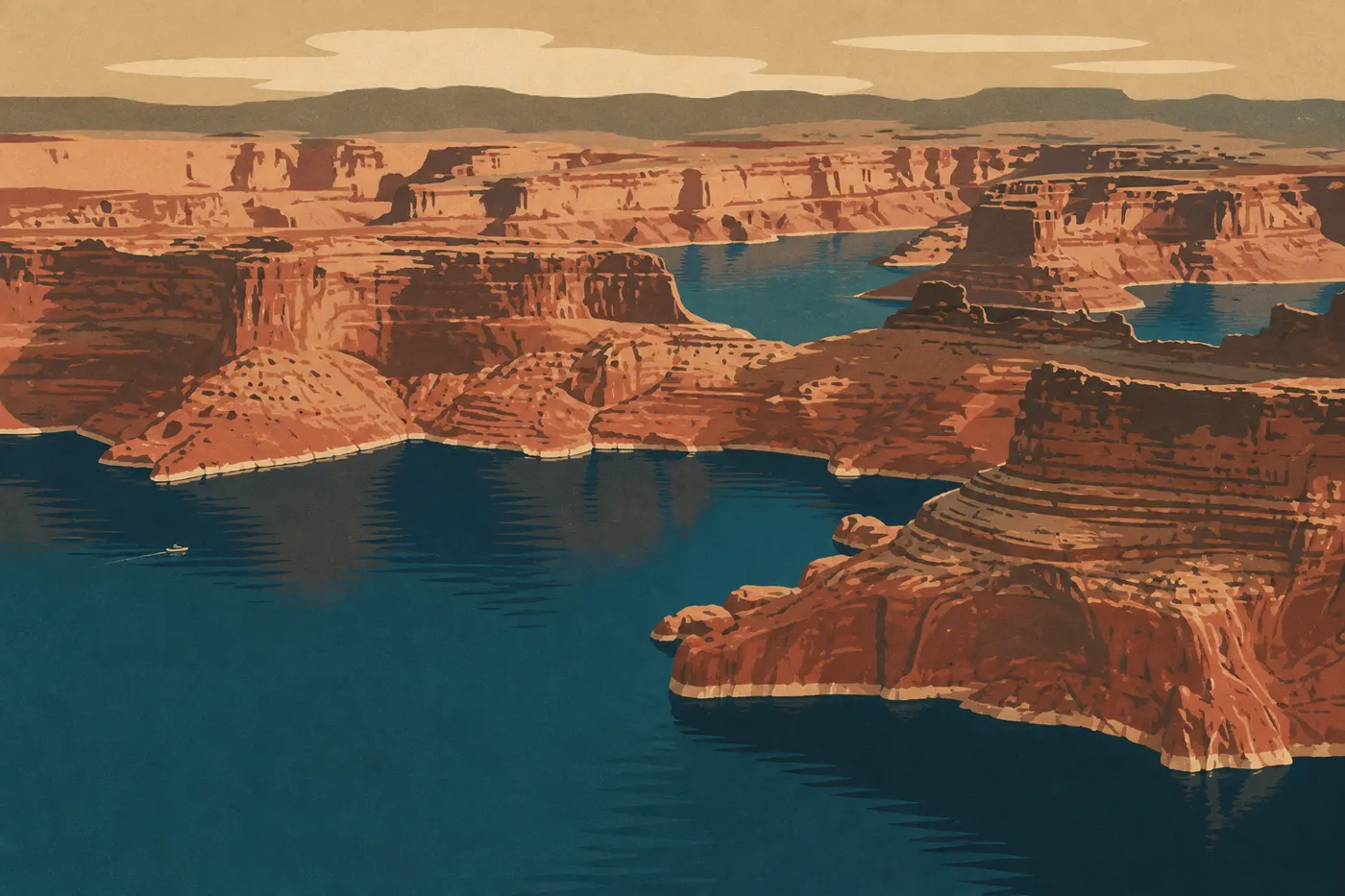
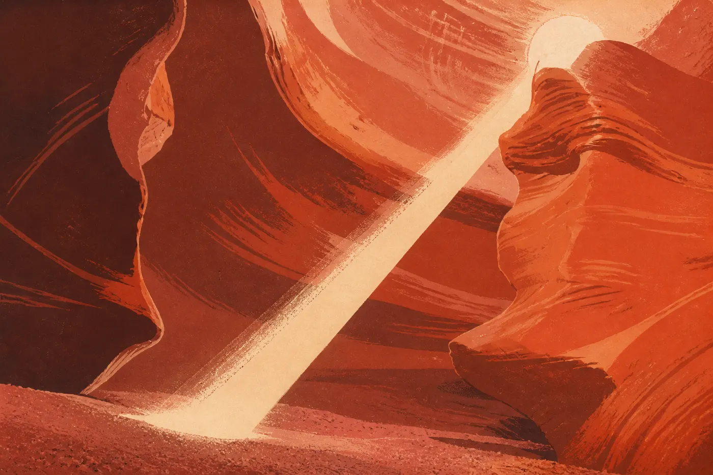
17- to 18-day version, through Page and Lake Powell. With three or four extra days, add a stop in Page between Monument Valley and the Grand Canyon. Page is the gateway to Lake Powell, a reservoir with turquoise arms tucked into red sandstone, and to two regional standouts: Antelope Canyon, the slot canyon known for its shafts of light, and Horseshoe Bend, the Colorado's horseshoe-shaped meander. We intentionally leave them out of this 15-day route, which goes through Moab. You'll find them on our Utah and Arizona itinerary and on the grand Southwest loop, where they have the time they deserve.
Frequently Asked Questions
Is 15 days enough for this Southwest road trip?
Yes, and it's actually the right length. Fifteen days let you see Zion, Bryce, Capitol Reef, Arches, Canyonlands, Monument Valley, and the Grand Canyon without rushing, with a full day for each highlight and a buffer day at the end. Below 12 days, you'll need to cut a stop.
Can you do this loop in two weeks from Las Vegas?
That's exactly the idea behind this route: a two-week loop that starts and ends in Las Vegas, with no one-way car fee. The total is about 1,240 miles, at a pace of one major leg every two or three days.
Which way should you drive the loop?
We head first toward Utah's canyons and save the Grand Canyon for last, then return via Route 66. The elevation rises gradually, the trip builds toward the Grand Canyon, and the return is easygoing. The opposite direction puts the climax on day two.
Why go through Moab instead of Page and Antelope Canyon?
Because you have to choose on a 15-day trip. This version favors Moab, its arches, and Canyonlands, leaving out Kanab and Page. Antelope Canyon, Horseshoe Bend, and Lake Powell are still spectacular, but we cover them on our Utah and Arizona itinerary and on the grand Southwest loop. The 17- to 18-day variation above adds them back in.
Do you need a pass for the parks?
The America the Beautiful pass, around $80 for the year, covers admission to the route's six federal national parks for everyone in the vehicle. It pays for itself at the third park. Monument Valley is a Navajo tribal park and has a separate entrance fee, paid on site.