
California National Parks Road Trip: Yosemite, the Deserts, and Highway 1
Seven in the morning on San Francisco's hills. The marine layer still swallows the Golden Gate, with only its orange cables cutting through the gray, then the sun burns it off within an hour. Two days later, we look up from the foot of El Capitan, 2,950 feet of unbroken granite, and the stiff neck comes before the vertigo. Farther south, we place a hand on the bark of General Sherman, the largest tree on earth by volume, while three hours away a white salt plain bakes 282 feet below sea level, the lowest point in North America. At the very end of the loop, a ferry leaves Ventura for a deserted archipelago known as the Galápagos of California. That's the range this state holds: glaciers, giant sequoias, salt desert, and ocean, all within a single road trip.
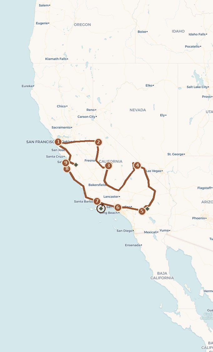
This road trip connects those images in a loop from San Francisco. We head inland first, into the high country and then the desert, before returning to the ocean and taking Highway 1 home. Plan on fifteen to eighteen days to complete California's national parks, with five parks along the route and a sixth, Channel Islands, saved for the end as the trip's best-kept secret. We set out in the fog, climb into the granite, cross the heat of the desert, and come home along the world's most beautiful coastal road. It's one state, and already several different planets.
 Base map © OpenStreetMap · © CARTO
 - 1. San Francisco
- 2. Yosemite Valley
- 3. Three Rivers : Sequoia et Kings Canyon
- 4. Furnace Creek, Death Valley
- 5. Palm Springs et Joshua Tree
- 6. Los Angeles
- 7. Ventura et Santa Barbara
- 8. Big Sur
- 9. Monterey et Carmel
- ↳ detour to Channel Islands
1 stop national park on the route detour
Which Way to Drive, and How Long to Stay
This is the first decision, and it shapes everything that follows. We drive the loop clockwise: inland first, Yosemite, Sequoia, then the deserts, with the coast at the end. There are two reasons. The first is dramatic pacing. We begin with the granite cathedral, build toward the desert's extreme contrast, then ease off on Highway 1, using the coast as a long decompression before returning the car. The second is practical. It's better to tackle the desert and high country with fresh legs and plenty of energy, then save the easy final stretch for when fatigue sets in.
On the coastal drive back, we head north, with the car on the landward side and the ocean across the road. That's the one compromise in the route. Highway 1 purists drive north to south so the overlooks stay on their side of the road. Outside the cities, traffic is rarely heavy enough for left turns to be an issue, and the loop from San Francisco dictates this direction anyway. If you're doing the coast on its own and continuing north, we have a dedicated guide: the Pacific Coast road trip.
As for timing, plan on fifteen full days, or eighteen if you want room to breathe. Beginners often think in miles, but distances inland are long and slow here, so we plan in days. Yosemite deserves three days, the desert isn't something to cross casually, and Big Sur is best taken at a crawl.
Act I. San Francisco, Setting Out in the Fog
We pick up the car in San Francisco and resist the urge to leave right away. The city deserves two nights, if only to watch the fog swallow the Golden Gate and then give it back, orange against gray. San Franciscans gave this coastal fog a first name, Karl, because it's so much a part of the scenery. Alcatraz sitting in the bay, streets plunging toward the water, cable cars groaning up the hills: we settle into the trip's rhythm before taking on the wide-open spaces.
This is also the right time to get organized. Desert lodging and park lodges book months ahead, and there are no grocery stores between inland stops. We stock up, check the America the Beautiful pass, and leave the city eastbound. The fog stays behind, the Central Valley opens up, and the Sierra Nevada rises on the horizon.
Act II. Yosemite, the Valley That Invented the National Parks
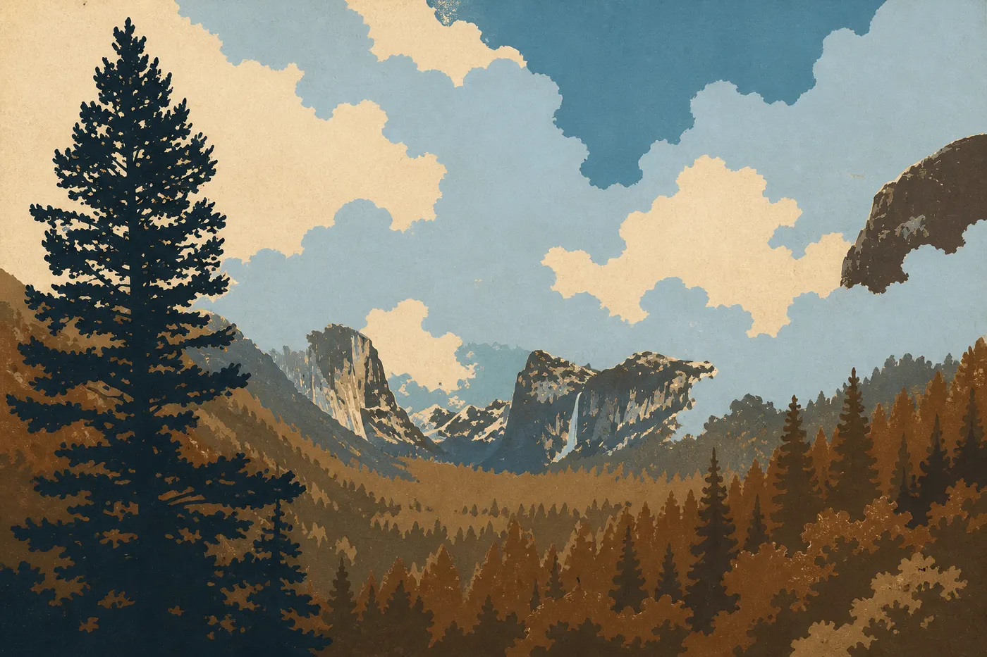
The road climbs, crosses a pass, and the valley suddenly opens before you at Tunnel View: El Capitan on the left, Half Dome in the distance, and Bridalveil Fall streaming down on the right. It's the classic view, and it doesn't disappoint. Yosemite isn't just beautiful, it's foundational. In 1864, in the middle of the Civil War, Lincoln signed an act protecting the valley, an unprecedented move that planted the very idea of a national park. John Muir would make it his life's cause. We walk here on the land that invented the concept.
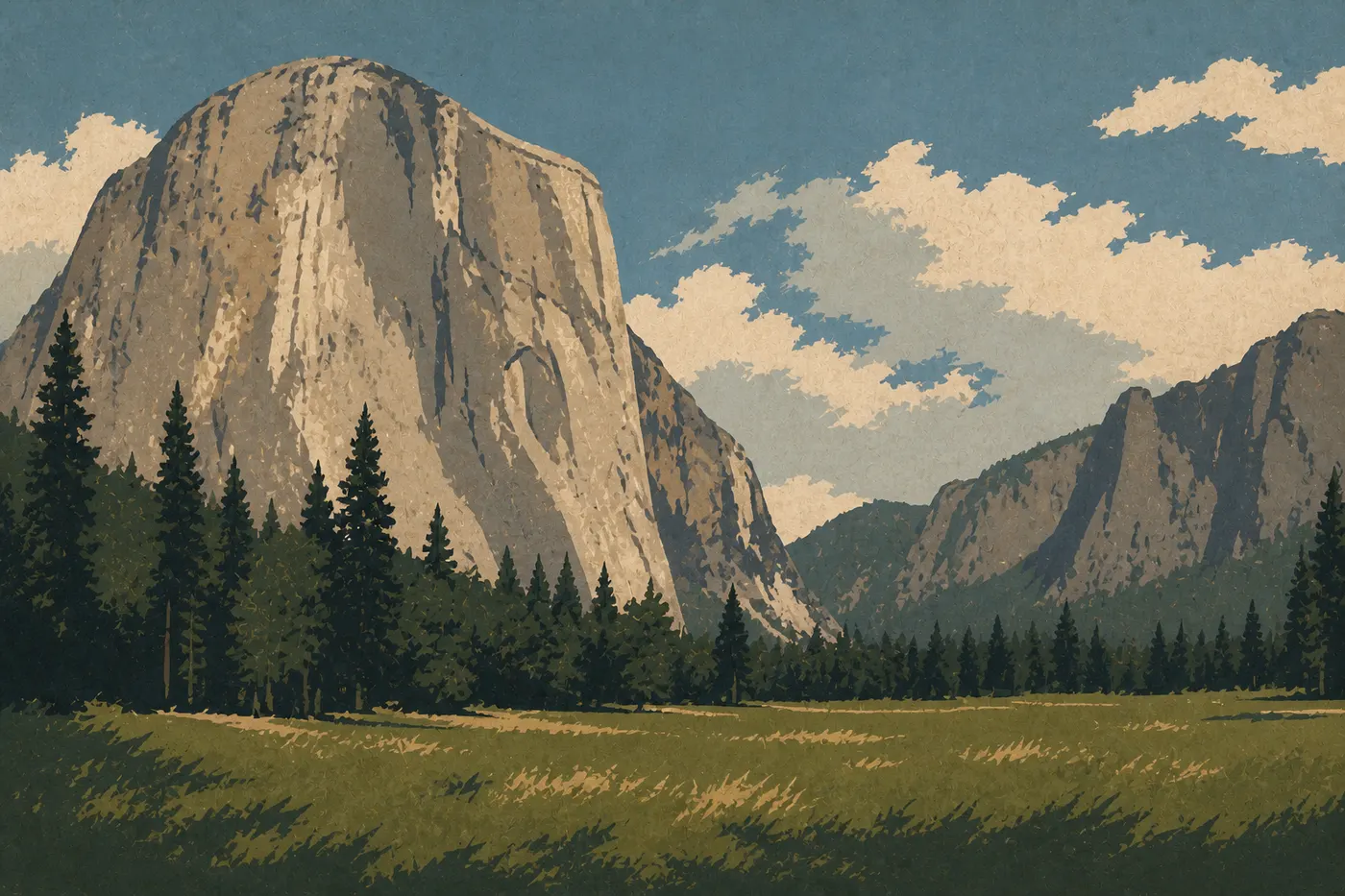
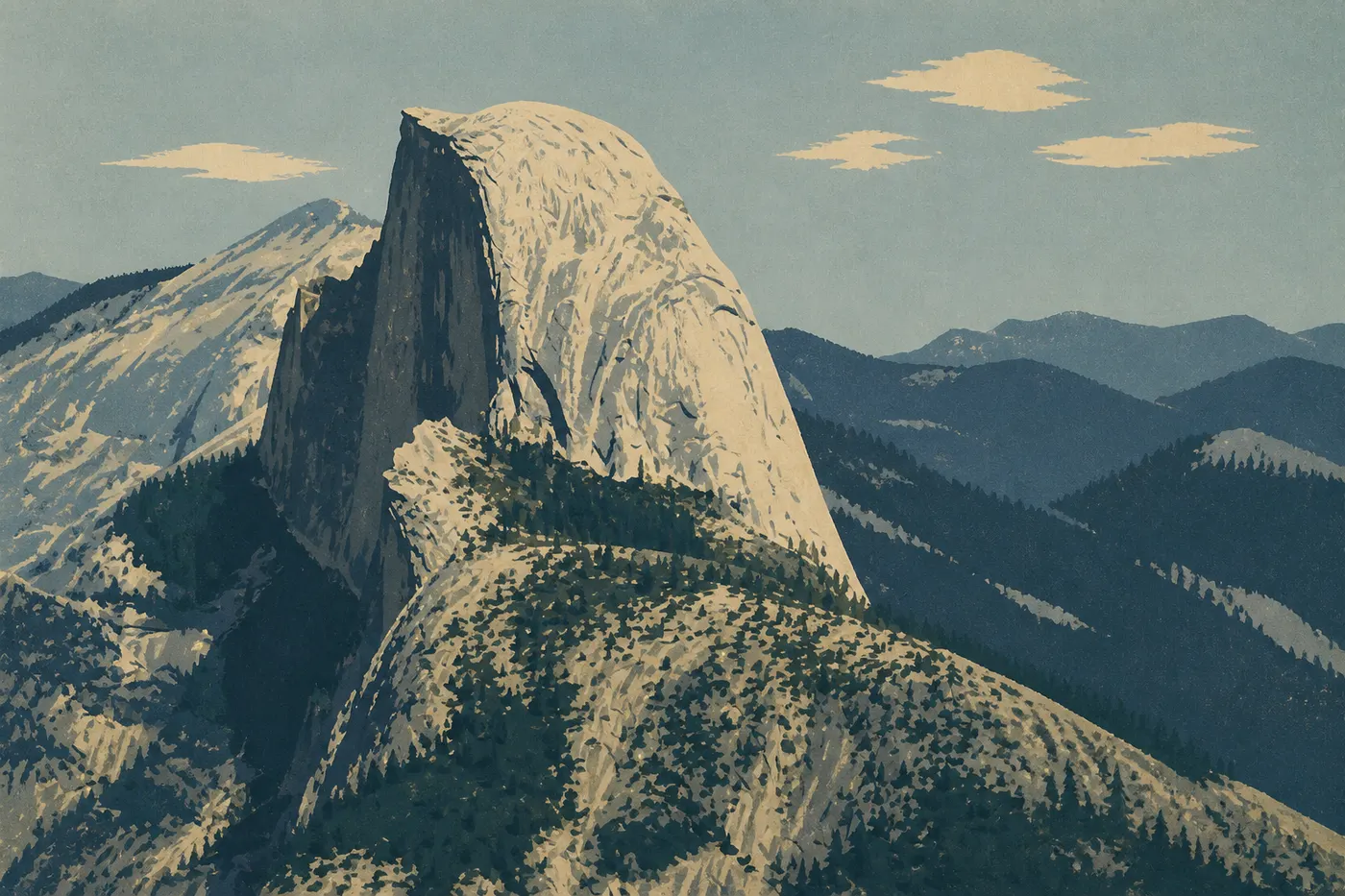
Explore the valley on foot and by bike, looking up as you go. El Capitan raises 2,950 feet of smooth granite, a legendary wall for climbers around the world. With binoculars, you can spot their hanging bivouacs. In spring, the waterfalls are full. Yosemite Falls drops in three stages for nearly 2,300 feet. To gain some elevation, Glacier Point Road leads to a balcony overlooking Half Dome and the entire high Sierra. Set aside half a day for Tioga Road and the Tuolumne Meadows if the season has opened them.
Act III. Sequoia and Kings Canyon, Among the Giants
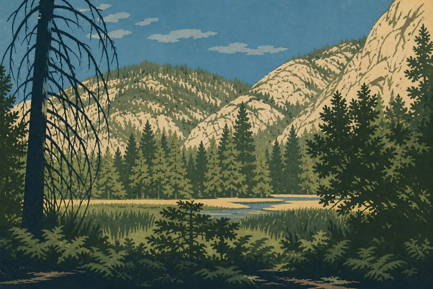
We drop out of the Sierra, then climb back into it from the south. From the small town of Three Rivers, Generals Highway winds uphill toward the twin parks of Sequoia and Kings Canyon. The scale changes abruptly. In an hour of driving, we go from golden foothills to high-elevation forests where the largest living things on the planet grow.
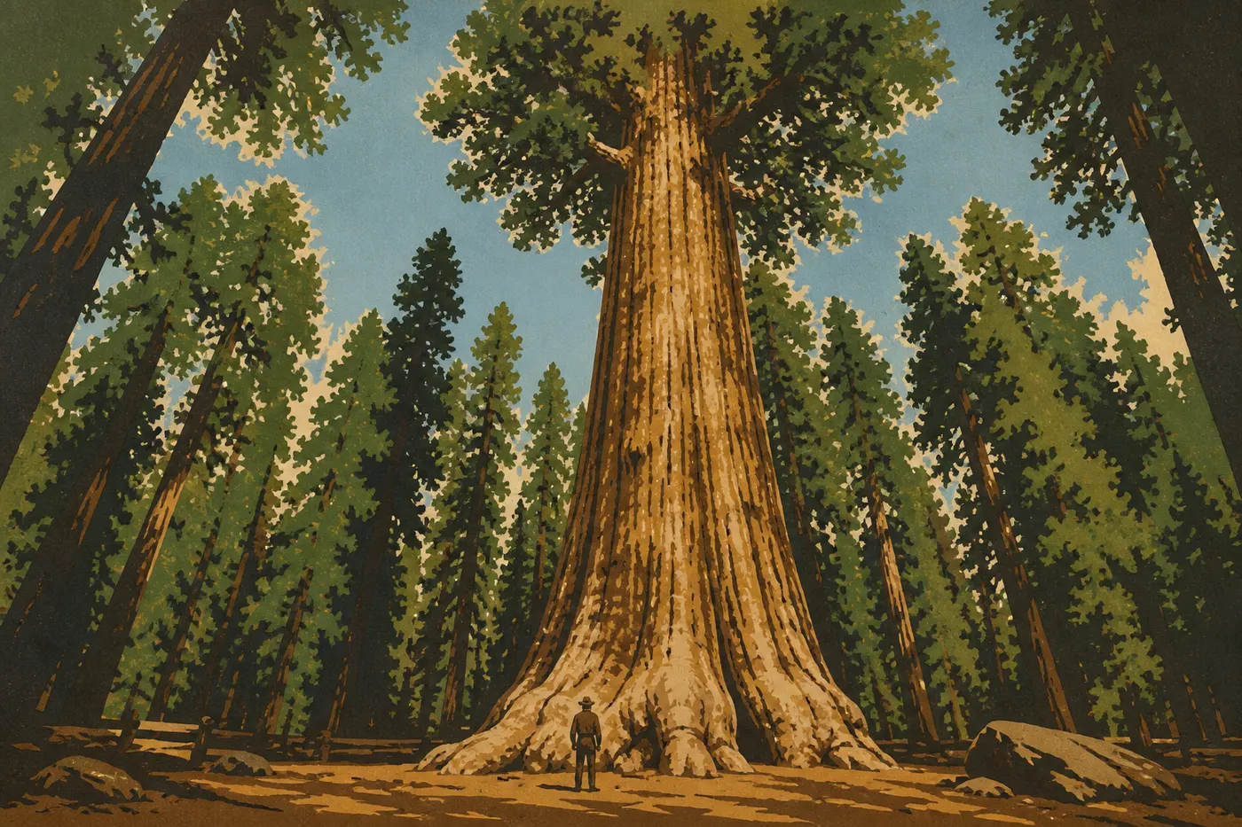
General Sherman completes the picture. At 276 feet tall, 36 feet across at the base, and more than 2,000 years old, it isn't the world's tallest tree, but it is the largest by volume. Standing at its foot puts our place in the living world into perspective. Nearby, Congress Trail winds silently from one giant to the next. Farther north, Kings Canyon cuts one of North America's deepest canyons, dropping more than 6,600 feet from rim to floor. Zumwalt Meadow occupies the bottom, ringed by granite walls. This is the wild, empty side of the two parks, the one the crowds forget.
Act IV. Death Valley, Then Joshua Tree, the Desert's Great Contrast
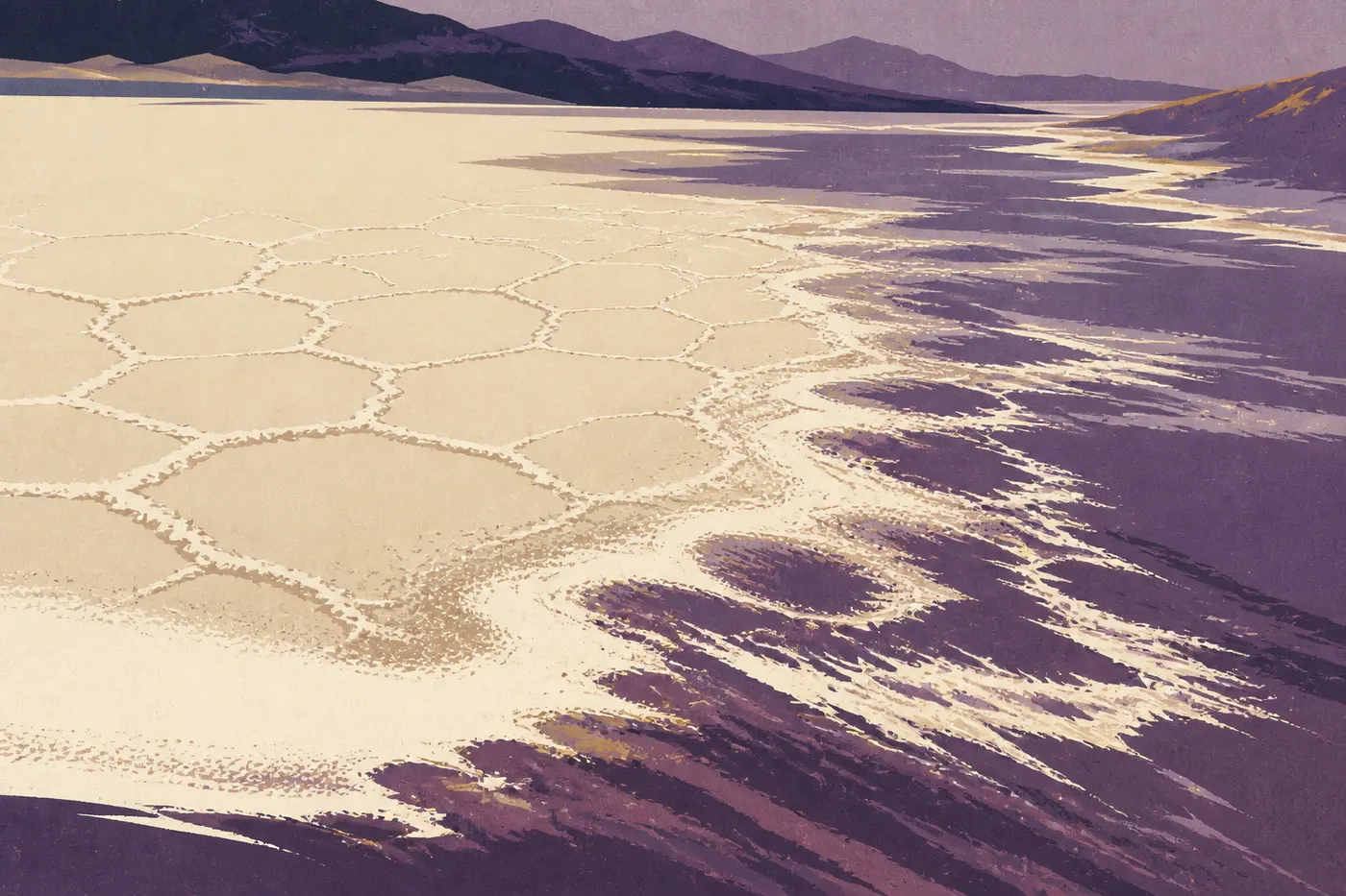
This is the intense heart of the trip. We leave the high-elevation forests, cross the mountains to the east, and the landscape empties out completely. Death Valley is the largest national park in the United States outside Alaska, and the most extreme. At Badwater Basin, a hexagonal salt crust stretches to the horizon, 282 feet below sea level, the lowest point on the continent. The heat has set world records here, with temperatures near 135°F recorded at Furnace Creek. We drive from one setting to the next: Mesquite Flat Sand Dunes at sunrise, the mineral colors of Artists Palette, and Zabriskie Point overlooking the folded badlands. Everything is oversized, and nothing is hostile if you follow the rule: carry water, fill the tank, and never hike in the heat of the day.
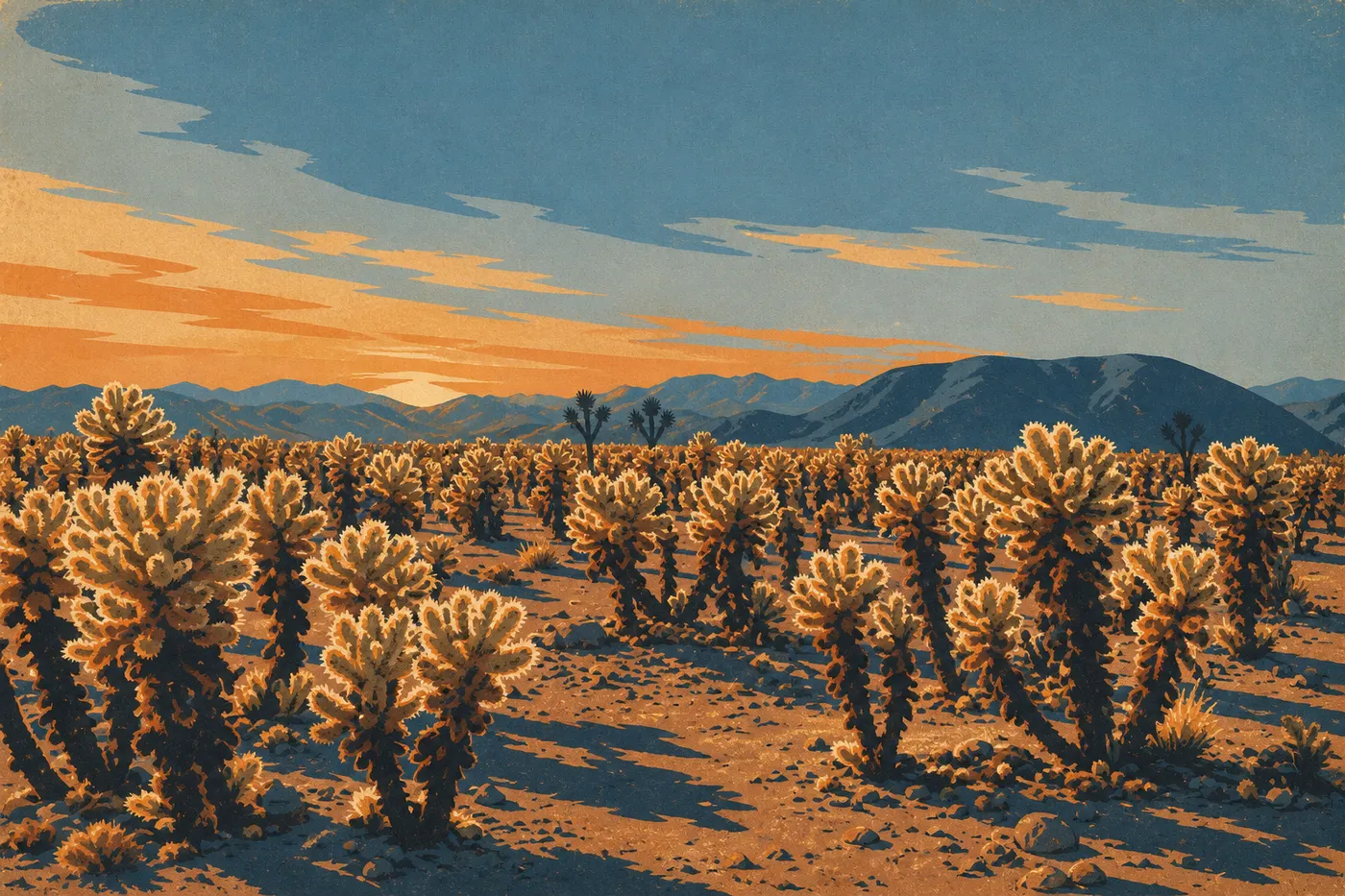
Then we turn south toward another, gentler desert. Palm Springs makes an easy oasis stop, with its palm trees and aerial tramway climbing into cool mountain air. Right next door, Joshua Tree marks the meeting point of two deserts, the Mojave and the Colorado. Joshua trees raise their bristling silhouettes, half plant and half character, while Cholla Cactus Garden lights up with thousands of golden cacti at sunset. Rounded granite boulders make it a climber's playground, and the night sky, one of California's most star-filled, brings the day to a close.
Act V. Los Angeles, Southern California's Softer Side, and the Secret of Channel Islands
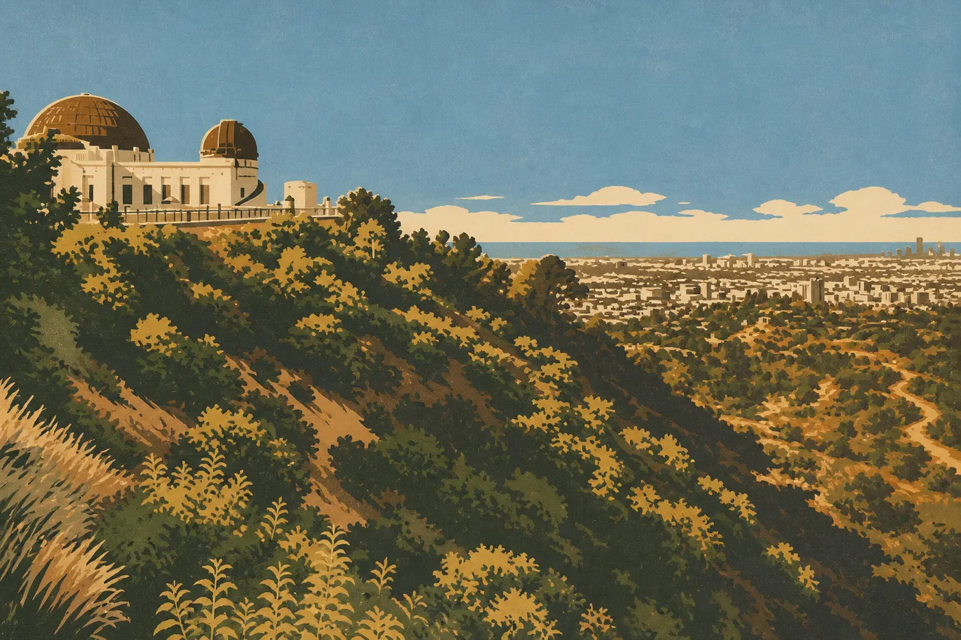
After the desert heat, the coast feels like a warm bath. We head down to Los Angeles, sprawling and sunlit, taking in its scale from Griffith Observatory: the city all the way to the ocean, the Hollywood sign on the opposite hill, and the smog turning pink at sunset. We stop as long as needed, for Santa Monica's beaches or the museums, then continue north into the quieter California of the Spanish missions.
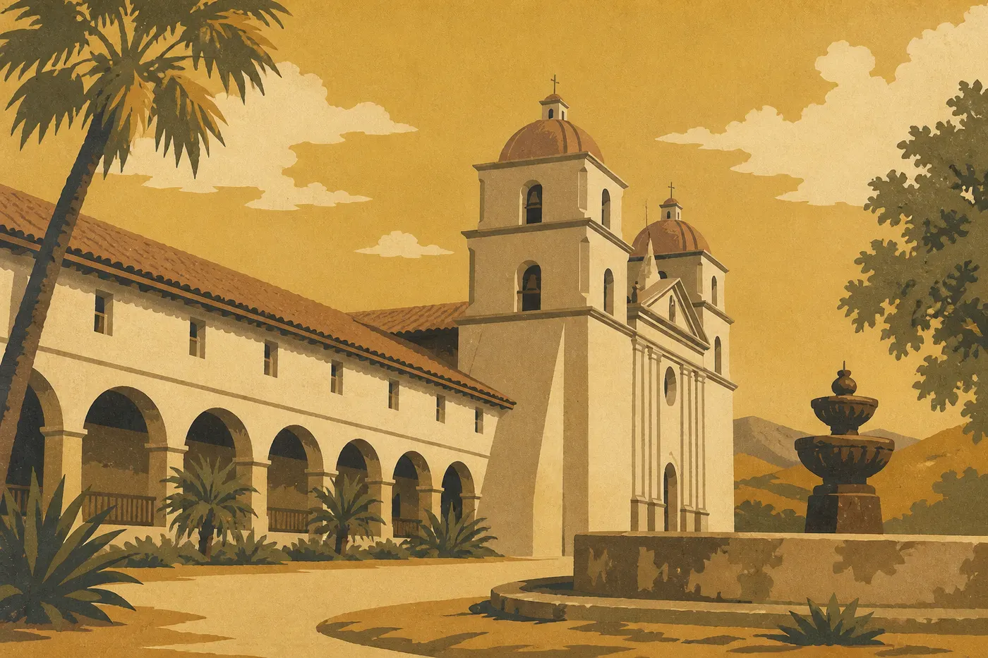
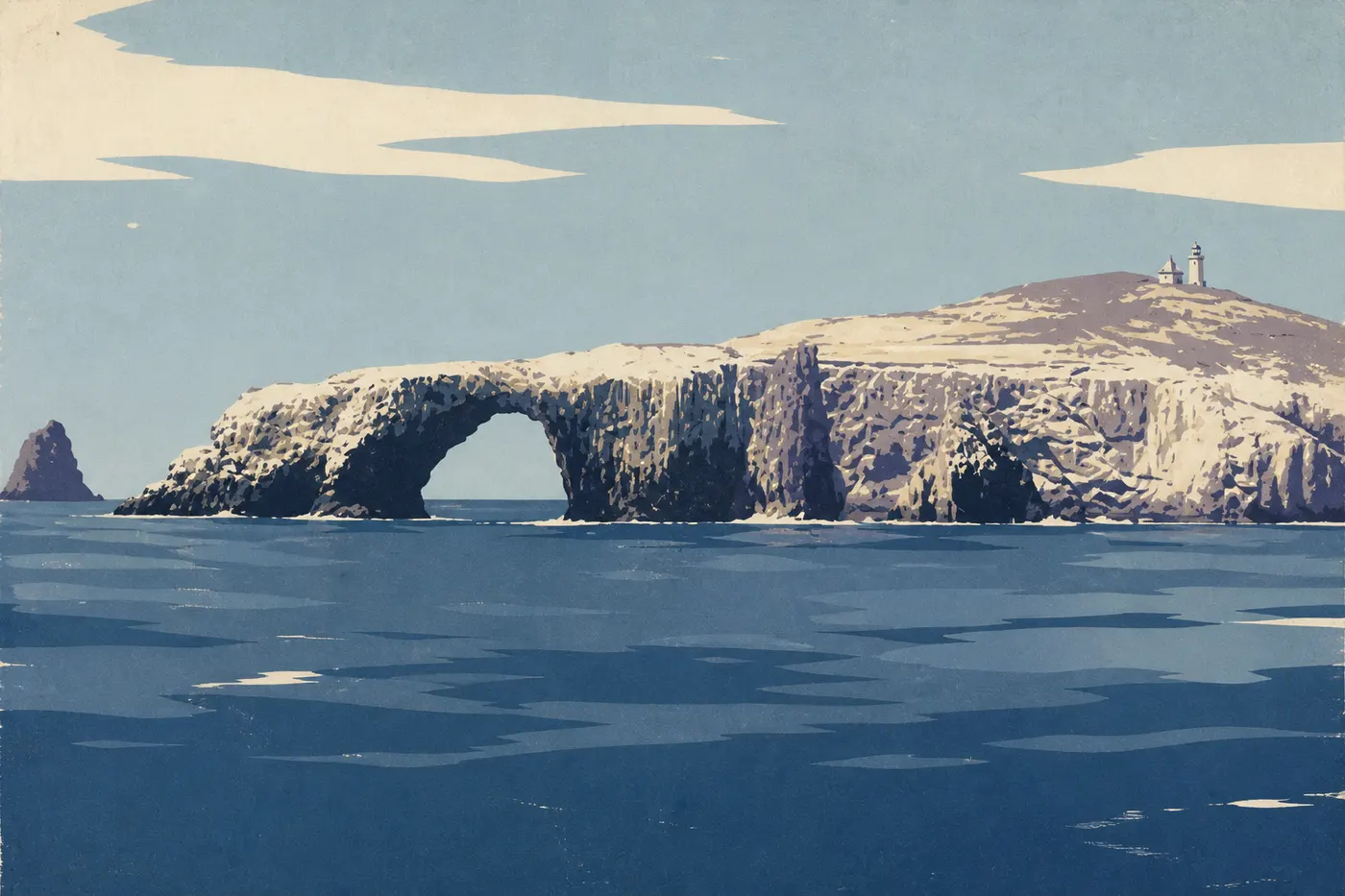
Santa Barbara unfurls its tile roofs and its white 1786 mission, known as the queen of the missions, beneath the palm trees. But the real treasure of this stop takes a boat to reach. From Ventura, a ferry crosses in an hour to Channel Islands, an archipelago set apart from the mainland and one of the country's least visited national parks. On Anacapa, a stone arch rising from the surf guards the entrance. On Santa Cruz, the largest island, sea caves are explored by kayak, and a small fox found nowhere else trots between the bushes. People call the islands the Galápagos of California because of their endemic species, and the comparison holds up. Reserve the boat and plan on a full day. This is the trip's understated climax, the place nobody talks about.
Act VI. Back Up Highway 1: Big Sur, Monterey, and Pinnacles
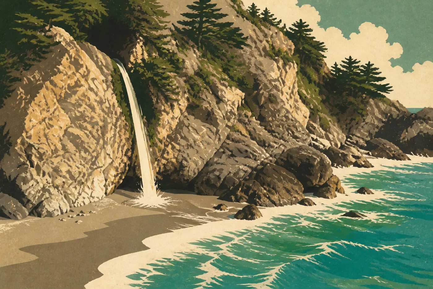
This is the trip's long exhale, and one of the world's most beautiful drives. From Santa Barbara, Highway 1 follows the coast north and, past San Simeon, enters Big Sur. The road hugs the cliffs, the ocean rumbles below, and every bend reveals a new scene. Bixby Creek Bridge, a concrete arch thrown across the void, is the postcard view. A few miles farther, McWay Falls drops straight onto an inaccessible beach in a cove of unreal green. Drive slowly, stop often, and spend the night if the budget allows.
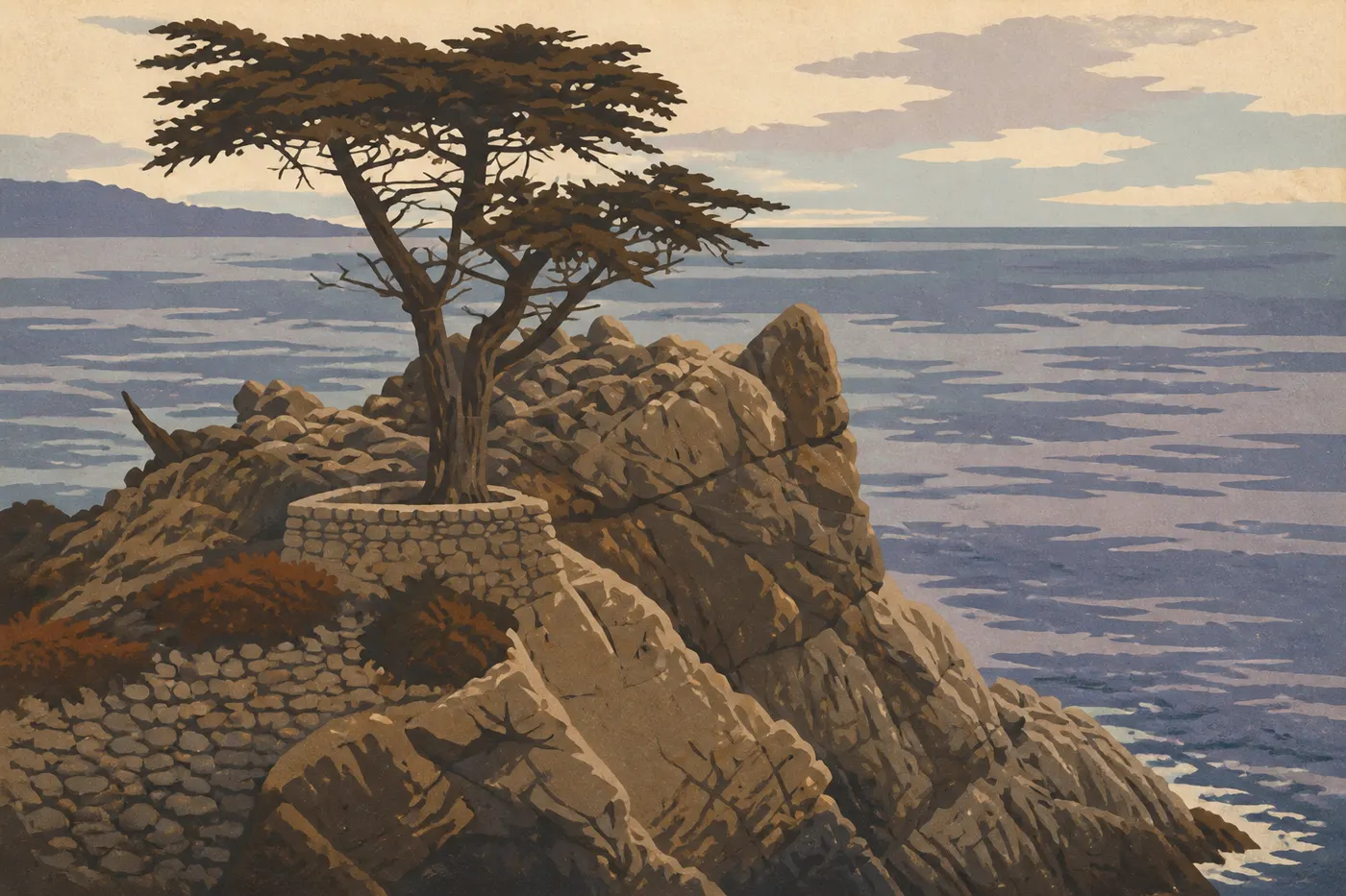
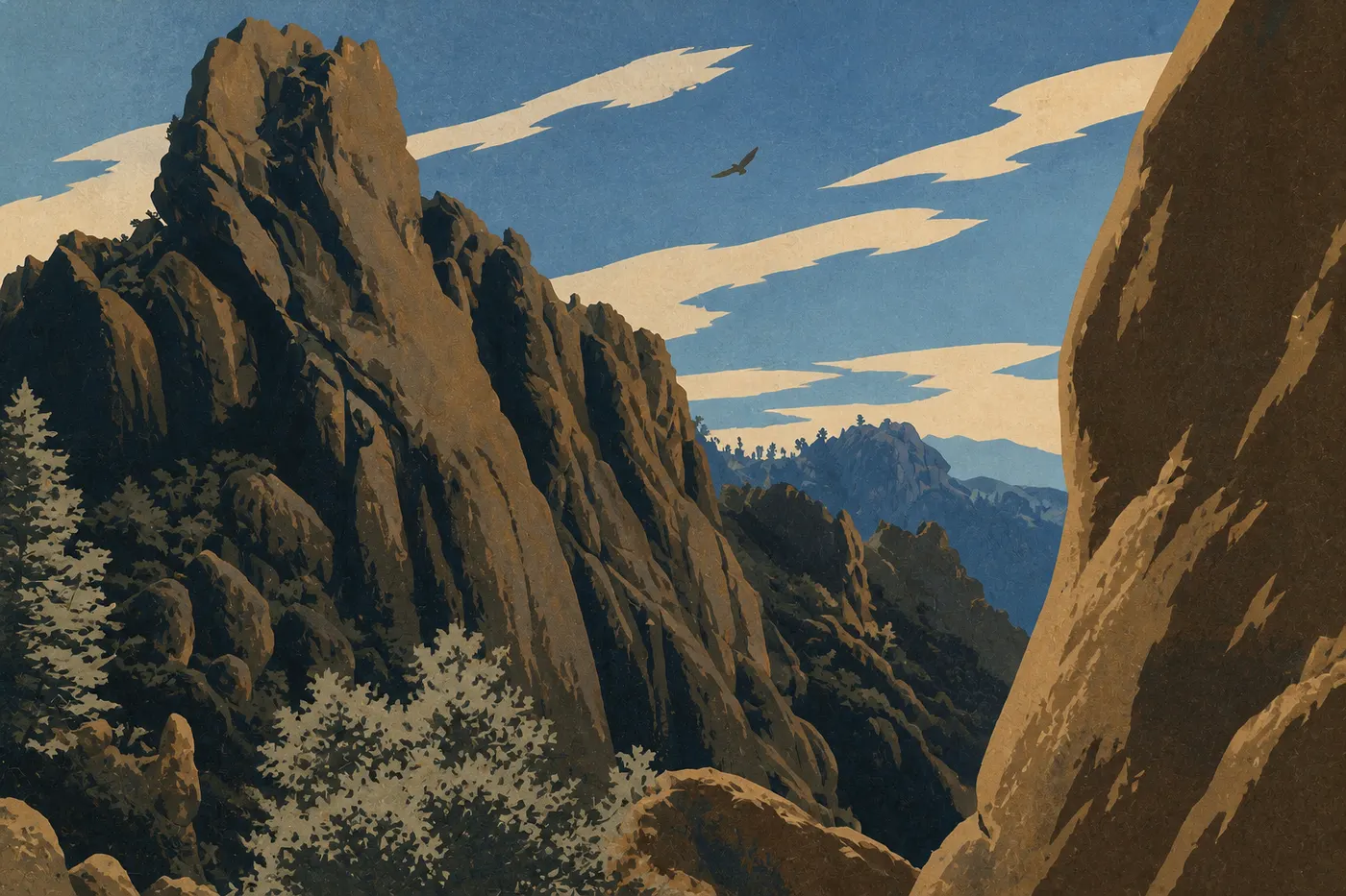
The sequence winds down gently in Carmel-by-the-Sea and Monterey, home to one of the country's finest aquariums. Between them, 17-Mile Drive snakes past villas and twisted cypress trees to the Lone Cypress, a solitary tree clinging to its rock, an emblem of the entire coast. Want one last detour away from the crowds before heading home? From Soledad, an hour inland leads to the rock spires of Pinnacles, the remains of a volcano split and shifted by the San Andreas Fault, and a quiet stronghold for California condors. Then the road runs north, fog returns to the bay, and we hand the wheel back in San Francisco. The loop is complete, and we've crossed several worlds without leaving one state.
When to Do the Whole Route
This is the real challenge of the trip, and there's no perfect solution. California's parks squeeze you between the mountains and the desert, and they don't favor the same seasons. In winter, the deserts are ideal, mild and bright, but the high country sleeps under snow. Glacier Point Road and Tioga Road in Yosemite are closed, Generals Highway in Sequoia may require chains, and half the high-elevation overlooks are out of reach. In summer, the reverse is true. All the mountain roads are open, but Death Valley turns into an oven above 122°F and Joshua Tree swelters. You can't have everything at once.
The right window comes in two short stretches. Late spring, from May through June, is our favorite. Tioga Road has just reopened, Yosemite's waterfalls are full from the snowmelt, and the desert is still manageable. Early fall, from September through October, offers the other good window. The desert cools down, mountain roads remain open before the first snow, and low-angle light flatters everything. Avoid midsummer for the desert and midwinter for the mountains, and you'll complete the whole route without unpleasant surprises.
The biggest budget item is still the car, including rental and fuel over long inland distances. Lodging adds up in the park lodges, in Yosemite, at Furnace Creek, and along the Big Sur coast. Booking early is the best way to save. Pay park entrance fees at once with the America the Beautiful pass, and the Channel Islands ferry remains modest compared with what it offers. These are rough estimates. Build your exact budget from recent quotes because California prices change quickly.
The national parks on this road trip
The Day-by-Day Itinerary
Here's a framework for fifteen to eighteen days, which you can stretch to match your pace. Each block corresponds to an act in the story.
Days 1 and 2, San Francisco. Pick up the car, spend two nights in town, stock up, and finish your reservations before heading east.
Days 3 through 5, Yosemite. About four hours of driving from San Francisco. Three full days for the valley, Glacier Point, one hike, and Tioga Road if it's open.
Days 6 and 7, Sequoia and Kings Canyon. A long half-day drive around the southern Sierra. Giant sequoias on the first day, the bottom of Kings Canyon on the second.
Days 8 through 10, Death Valley and Joshua Tree. Make the long desert transfer in the cool of the morning. Two days in Death Valley, a stop in Palm Springs, then Joshua Tree.
Days 11 through 13, Los Angeles, Santa Barbara, and Channel Islands. Down to Los Angeles, back up to Santa Barbara, then a ferry day to Channel Islands from Ventura.
Days 14 through 18, Highway 1 and the return. Follow the coast north: take Big Sur slowly, visit Monterey and Carmel, detour to Pinnacles, then return to San Francisco. This is where you use up or preserve your three-day cushion.
Route Variations
A 12-day version without the desert. Don't have eighteen days, or are you visiting in midsummer? Cut the desert branch. From Sequoia, head straight to the coast and drive down to Santa Barbara, then Los Angeles and Channel Islands, before going back up Highway 1. You keep the mountains, the giants, and the coast, save the hardest transfers, and avoid Death Valley's furnace. The story still works beautifully. The contrast between granite and ocean carries the trip on its own.
Continue north along the coast. Did Channel Islands and Big Sur leave you wanting more ocean? Instead of closing the loop in San Francisco, keep going north. Our Pacific Coast road trip picks up from the Bay Area and follows the coastline all the way to Washington State. The two guides connect neatly in San Francisco.
Frequently Asked Questions
How long do you need for a California national parks road trip?
Plan on fifteen days for the essentials, or eighteen if you want room to breathe. The route connects five parks plus the Channel Islands detour, with long inland distances. It's the compact version of a three-week California road trip, with no dead time.
What's the best season to do the whole route?
Late spring, from May through June, or early fall, from September through October. That's the only time when Yosemite's high country is clear of snow and the desert remains manageable. Midsummer scorches Death Valley, while midwinter closes the high-elevation roads.
Can you make this a loop from San Francisco?
Yes, and that's the whole point. You start and return the car in the same place, with no one-way fee. Head inland first to Yosemite and the deserts, then return via Highway 1 and Big Sur.
Is Channel Islands really worth the trip?
If you have the time, absolutely. An hour-long ferry ride from Ventura separates the mainland from one of the country's least visited national parks, with its sea arches and endemic species. It's the understated climax of the trip, the part you'll remember.
Can you drive directly from Yosemite to Sequoia?
Not in a straight line. No road crosses the high Sierra between them. You have to drop into the foothills and come back up from the south, a long half-day drive to include in your itinerary.