
Alaska Road Trip: Our 12- to 15-Day Loop from Anchorage to the Arctic Circle
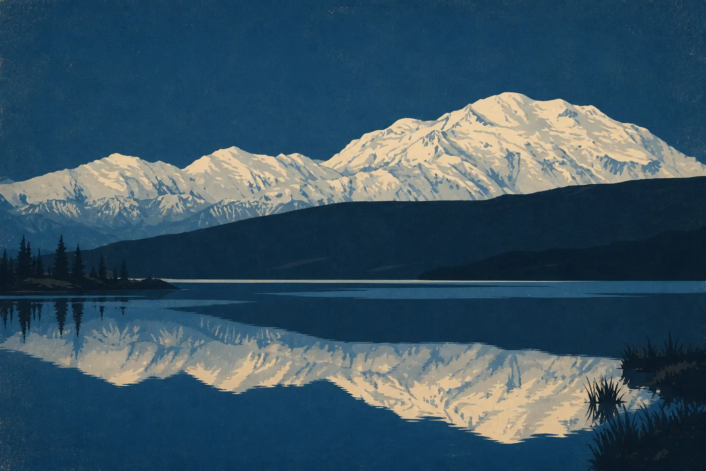
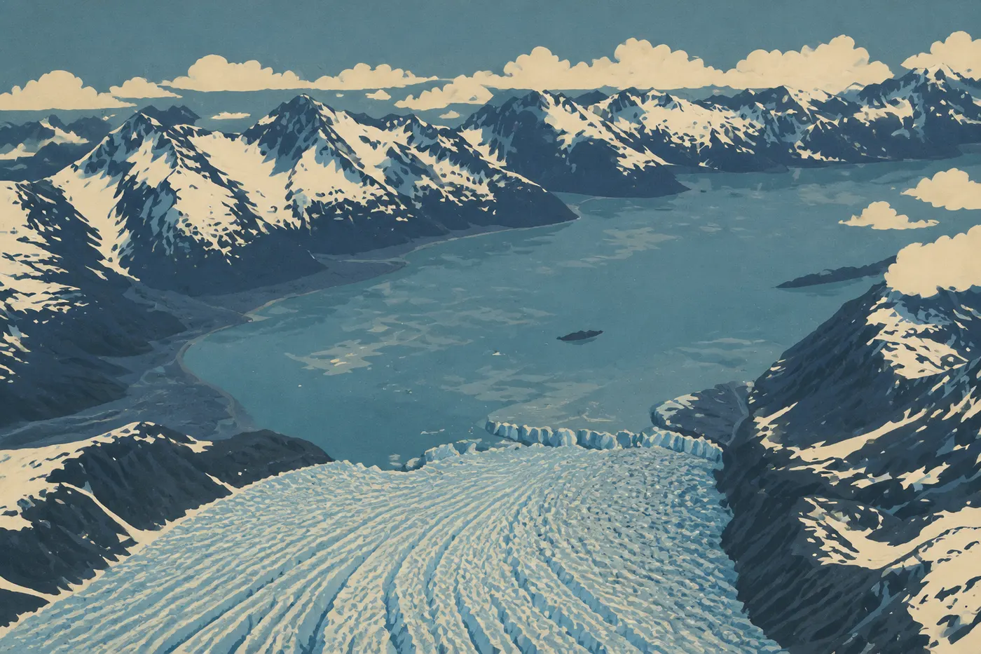
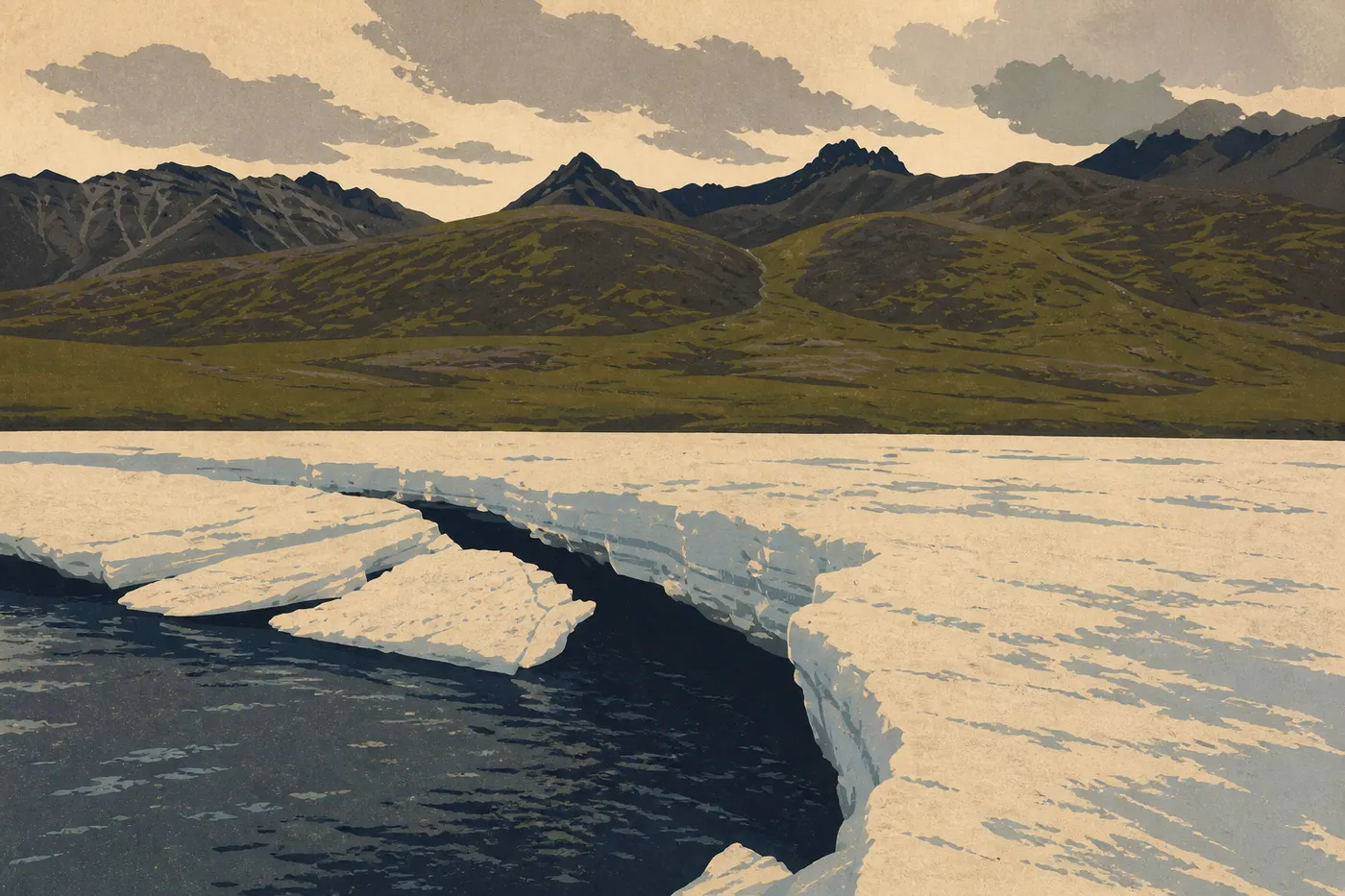
The boat cuts its engines 650 feet from a wall of ice as tall as a ten-story building. We wait. Then a section of the glacier breaks loose with a thunderous crack and crashes into Aialik Bay, sending a swell beneath the hull as seals drift on blue blocks of ice. It's the first morning of the trip, and Alaska has set the tone. Four hundred miles north, at 2:30 in the morning, Denali is reflected perfectly in Wonder Lake beneath a sun that never sets. Farther still, a gravel road runs straight toward the Arctic Circle alongside a silver pipeline, with no gas station for hundreds of miles. And at the end of a battered road, a red wooden mining town sleeps at the foot of a glacier, abandoned since 1938. This is the Alaska we came looking for: too vast to fit into a single image.
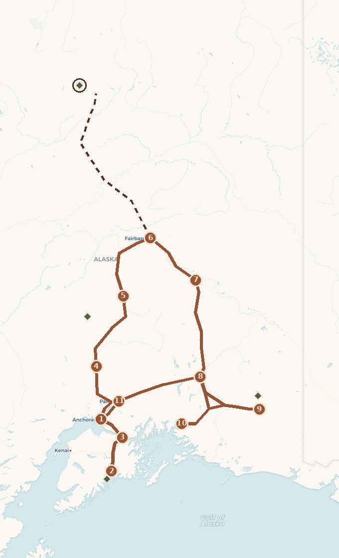
This road trip links those scenes in a loop from Anchorage. We first head south to Kenai Fjords and a day on the water that changes your sense of scale. Then we drive north on the Parks Highway, facing Denali, all the way to Fairbanks and the Arctic gateway. From there, we make an optional run along the Dalton Highway, the oil-truck road, to the edge of the wildest national park in the country. We head back down the Richardson Highway, follow the McCarthy Road into the country's largest preserve, reach Valdez over a pass known for record snowfall, and close the loop on the Glenn Highway and its glaciers. Plan on 12 to 15 days, during the short window when all of this is possible: from late May to early September.
 Base map © OpenStreetMap · © CARTO
 - 1. Anchorage
- 2. Seward et les fjords de Kenai
- 3. Portage, Girdwood et le bras de Turnagain
- 4. Talkeetna, face au Denali
- 5. L'entrée du parc Denali
- 6. Fairbanks
- 7. Delta Junction, bout de l'Alaska Highway
- 8. Glennallen, carrefour des Wrangell
- 9. McCarthy et la mine de Kennecott
- 10. Valdez, par le col de Thompson
- 11. Palmer et la vallée de la Matanuska
- ↳ detour to Gates of the Arctic
1 stop national park on the route detour
Which Way to Drive, and How Many Days to Allow
The first decision on this loop is which direction to take, and it matters. We drive counterclockwise: Anchorage, then south to Kenai, then the far north, followed by the return route through the east. This direction builds toward a climax. The day on the water from Seward is the first jolt. It resets your sense of scale right away, and everything that follows is measured against it. The trip then climbs toward its high point, the Arctic run on the Dalton, where the road ends and the wilderness takes over. The return isn't a flat comedown. It brings the human story, the ghost town of Kennecott, and the ice of Wrangell and Matanuska before gently closing the loop near Anchorage.
Driving the other way would save the Arctic for the end, when fatigue is heaviest and the return could feel anticlimactic. Our direction ends with the accessible glaciers along the Glenn Highway, an hour from returning the car. There's also a practical reason: the loop avoids driving the same roads twice, and we can time Denali for the shuttle reservations, which are hard to get in summer.
For the overall duration, allow 12 to 15 days. Beginners often think in miles. Here, think in hours. The roads are two-lane, often slow, sometimes gravel, and the distances are deceptive. One optional detour changes everything: the Dalton and the Arctic add two or three days by themselves.
Act I. Anchorage and Turnagain Arm
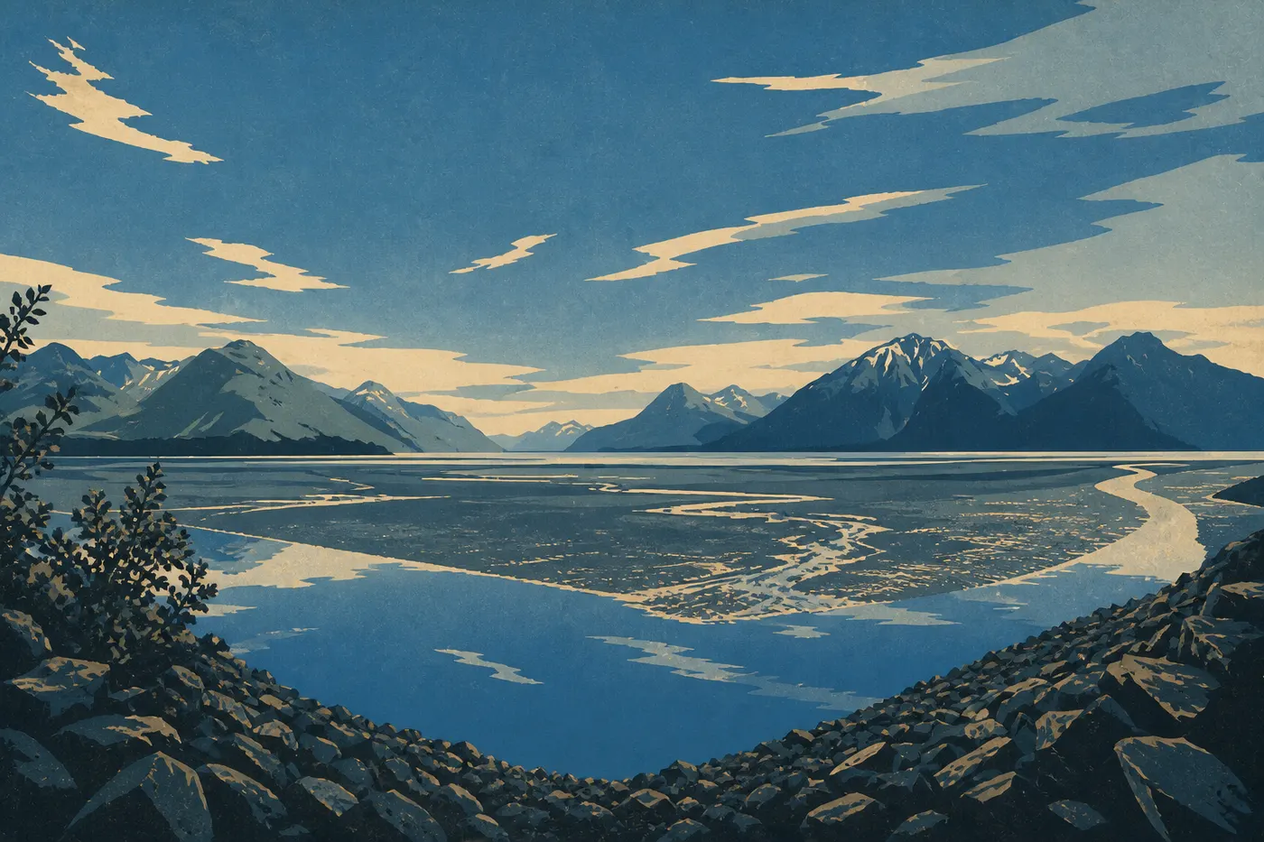
We pick up the car in Anchorage, the state's only real city, set on Cook Inlet and ringed by the Chugach Mountains. We don't linger. The road begins as soon as we take the Seward Highway south. Within a few miles, it slips between cliff and water along Turnagain Arm. The name comes from Cook's crew, who in 1778 had to "turn again" here after failing to find the Northwest Passage.
This arm has one of the largest tidal ranges in North America. As the tide comes in, the water sometimes returns as a single wave moving up the channel, a bore tide you can watch from the road. At Beluga Point, white belugas chase salmon just yards offshore. On the bluffs above the roadway at Windy Corner, Dall sheep graze at windshield height. There's one rule, and it's absolute: never walk onto the mudflats at low tide. This glacial mud can trap you like quicksand. We make a short detour to Girdwood, where a tram rises above the northern rainforest, then continue to Portage Valley and its glacier before heading on to Seward. This is the opening act. We take in the scale of the scenery without confronting it yet.
Act II. Seward, Kenai Fjords, and a Day on the Water
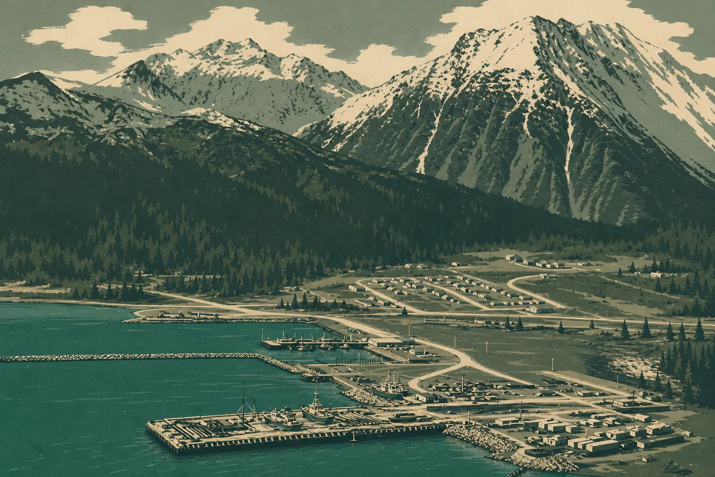
Seward sits at the head of Resurrection Bay, a fishing port backed by mountains. This is where the day that changes everything begins: boarding a cruise into Kenai Fjords. The boat heads down the bay, crosses the open-water swell, then enters a fjord closed off by a glacier dropping straight into the sea. We cut the engines, wait, and watch a section of ice break free and crash into the water with a thunderous boom. Life is everywhere around the boat: humpback whales spouting, orcas on the hunt, sea otters on their backs, Steller sea lions sprawled across the rocks, and puffins skimming the surface as they take off. In a single outing, you understand Alaska's scale, and you never lose sight of it again.
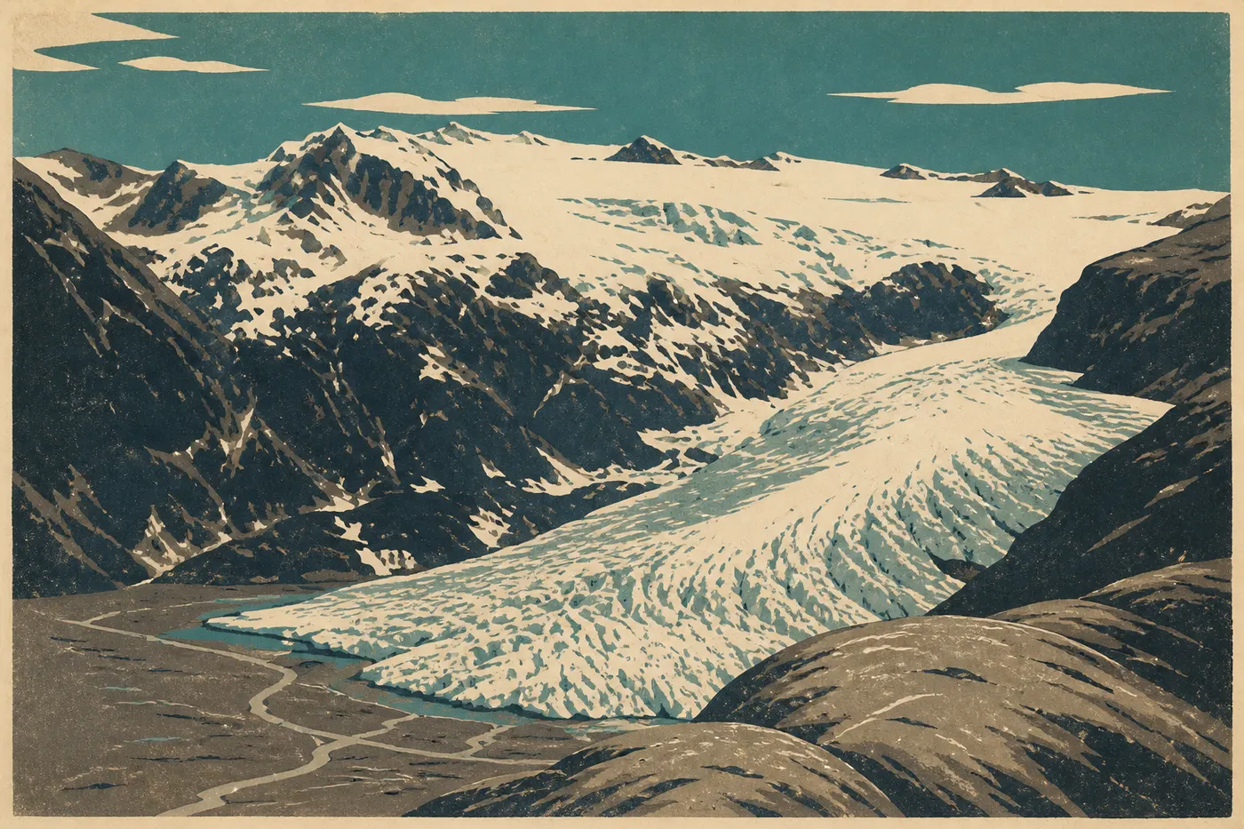
The next day takes us onto land, to Exit Glacier, the only part of the park reached by road. We walk to the ice front. Along the way, signs marked with dates from recent decades show where the glacier ended each year. We follow its retreat backward through time, year by year, to today's ice. The strongest hikers climb the Harding Icefield Trail, a strenuous full-day hike above the icefield that feeds every fjord from one vast reservoir of ice.
Act III. The Parks Highway, Talkeetna, and Denali
We head north on the Parks Highway, the route running into Alaska's interior. Our first stop is Talkeetna, a small outpost where Denali climbers begin their journeys. Their ski planes take off here and land on the mountain's glaciers. On a clear day, the village riverfront frames Denali, standing about 60 miles to the north. We spend a morning there, between the old roadhouse and the wooden cafés.
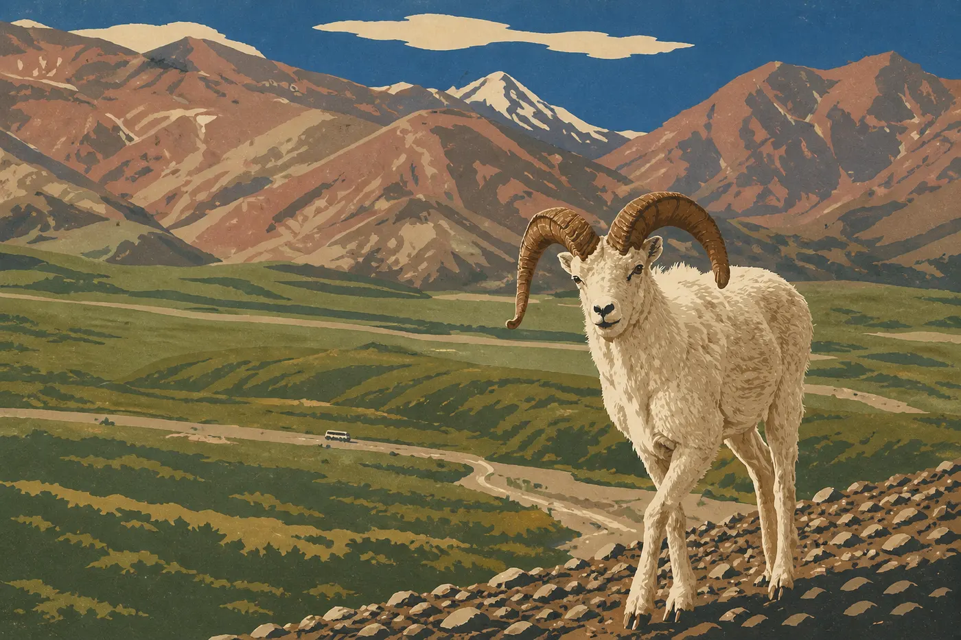
Then comes Denali, North America's highest peak at 20,310 feet, renamed with its Indigenous name in 2015. The park has one road, more than 87 miles long. Private vehicles can go only as far as Mile 15, at the Savage River, and we continue beyond it by shuttle. In recent years, a landslide has cut off the road at Mile 43, so check access and shuttle operations before leaving. Even the front country teems with life: grizzlies on the tundra, caribou, moose, Dall sheep, and sometimes a wolf. The question everyone carries is whether we'll see the mountain. Only one visitor in three catches a glimpse, since clouds so often hide it. When it emerges, it fills a third of the sky, and you understand its nickname, "the high one."
Act IV. Fairbanks and the Arctic Gateway
Fairbanks, the state's second city, marks the heart of the interior, a land of extreme weather. In June, the sun never sets. Since 1906, the city has played a midnight baseball game without lights. By late August, darkness returns enough for the aurora to appear. But Fairbanks is mainly our springboard to the trip's northernmost point.
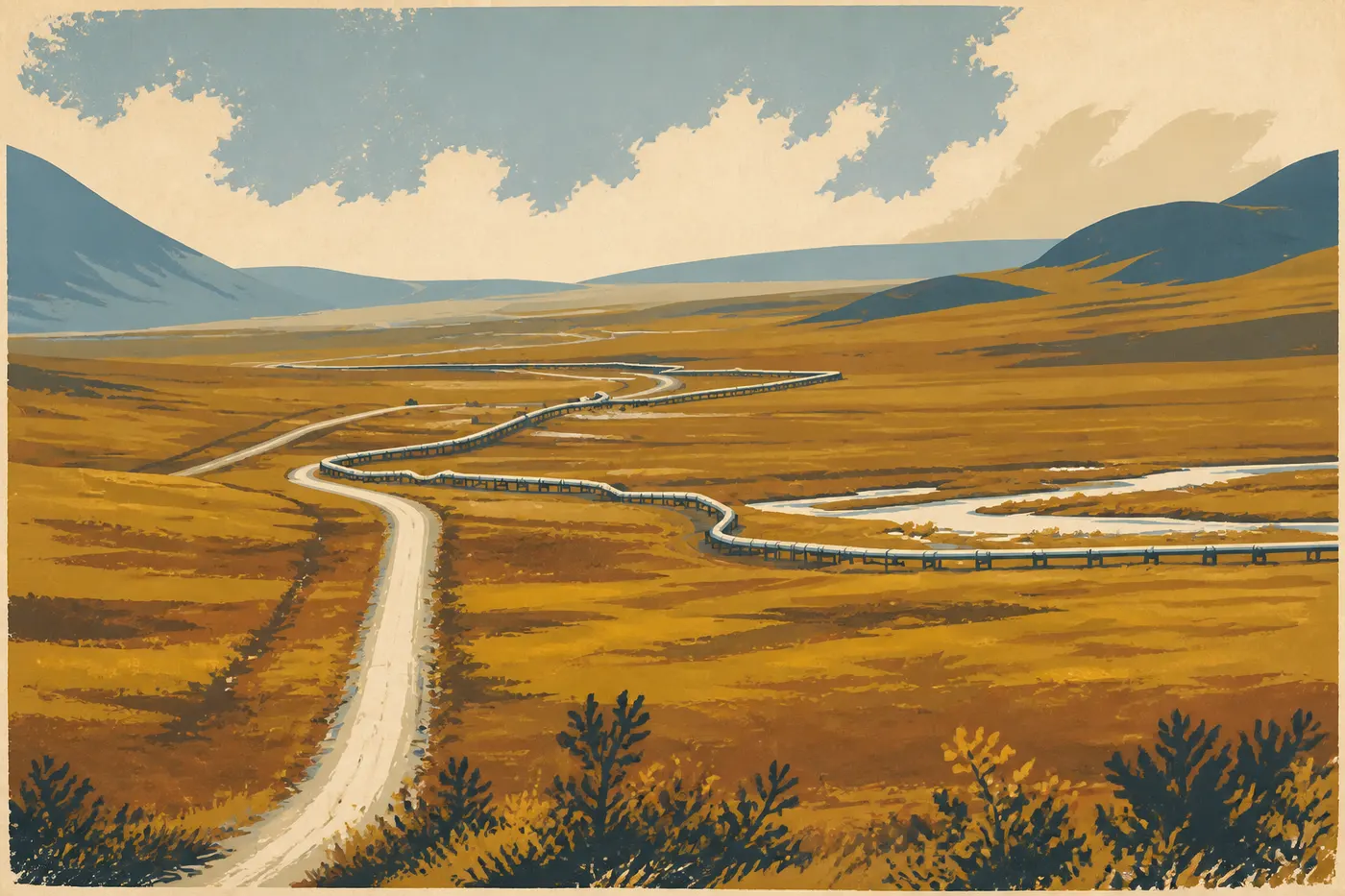
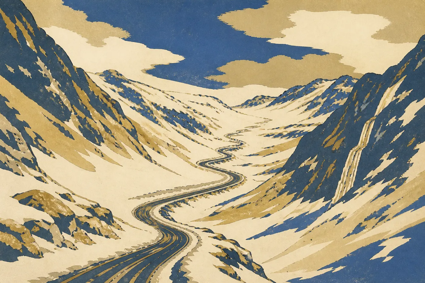
This is the marquee detour, an expedition within the expedition: the Dalton Highway. It runs 414 miles, much of it unpaved, and opened in 1974 as a service road for the Trans-Alaska Pipeline, which it follows like a silver shadow. It crosses the Yukon River on a wooden-deck bridge, reaches the Arctic Circle around Mile 115, then crosses the Brooks Range at Atigun Pass, 4,738 feet high, the highest maintained road pass in the state. Services are almost nonexistent: Coldfoot at Mile 175, the hamlet of Wiseman, and nothing else. Trucks rule this road. A CB radio is strongly recommended so you can hear them on blind uphill stretches. Most important, regular rental companies prohibit the Dalton. You'll need a vehicle from a specialty rental company, two spare tires, and gravel coverage.
At the end, or rather along its eastern flank, Gates of the Arctic opens up, the least-visited national park in the country. It has no roads and no trails. We leave the vehicle and walk into raw wilderness, or hop on a small plane from Bettles to land on a gravel bar. Most drivers go as far as the Arctic Circle sign or Coldfoot, then turn around. That's already an expedition. The road takes you to the exact edge of a roadless world, and there it ends.
Act V. The Richardson, McCarthy Road, and Wrangell
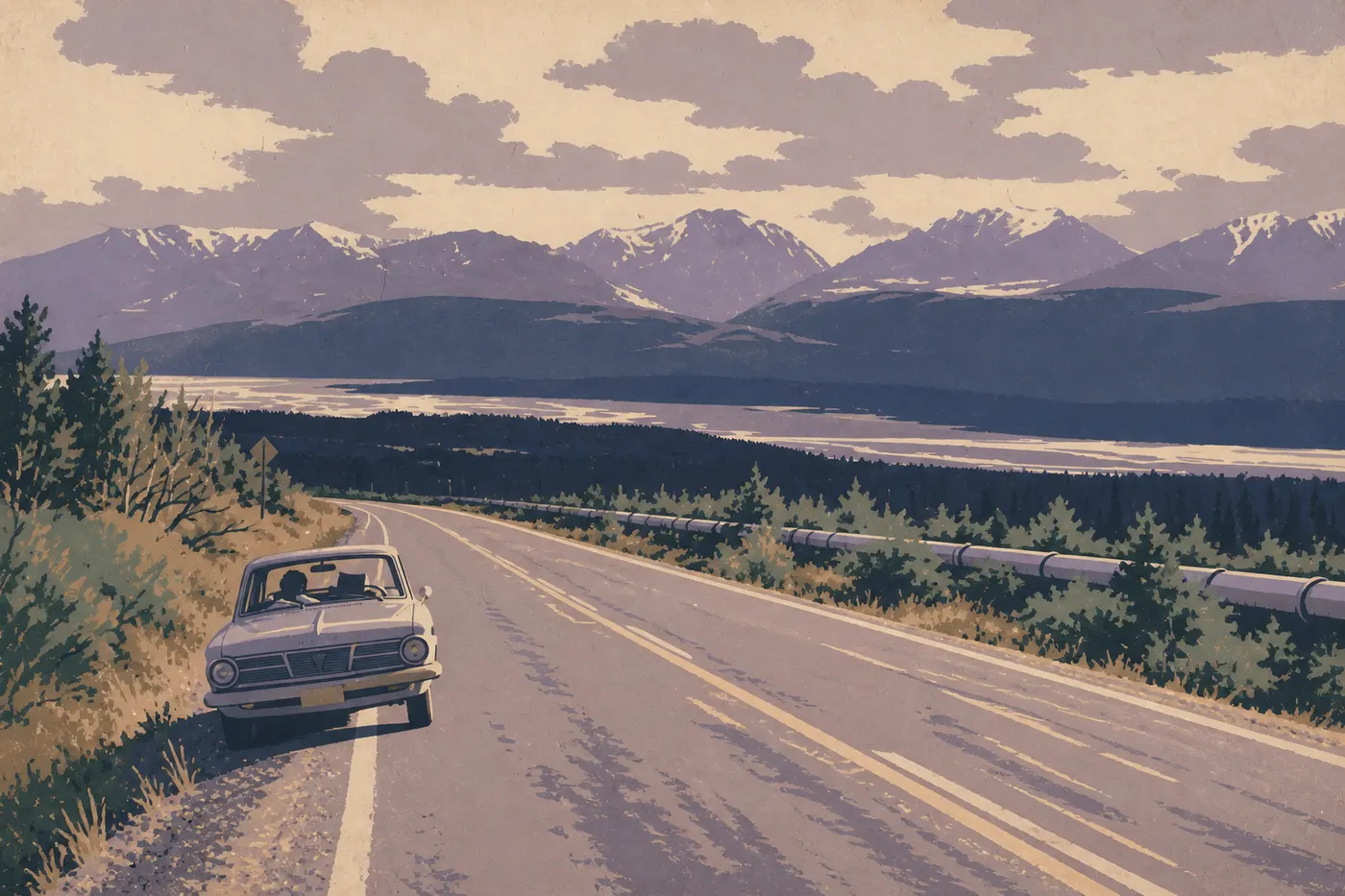
We head back down from the interior on the Richardson Highway, Alaska's first road, built from a Gold Rush trail between Valdez and Fairbanks. It follows the pipeline in turn. Along the way, Delta Junction marks the official end of the Alaska Highway at Mile 1,422. Then comes Glennallen, the crossroads and gateway to Wrangell.
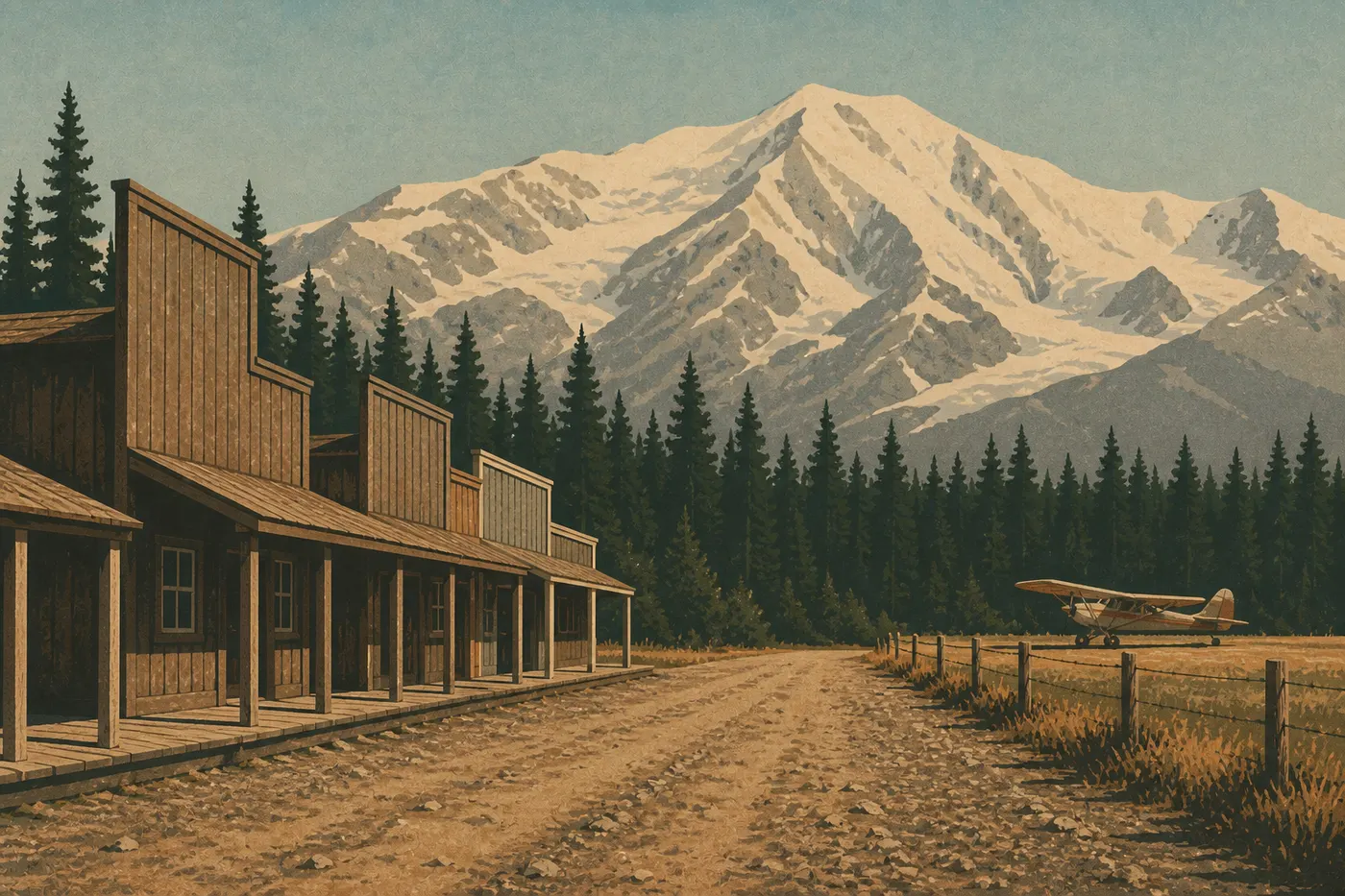
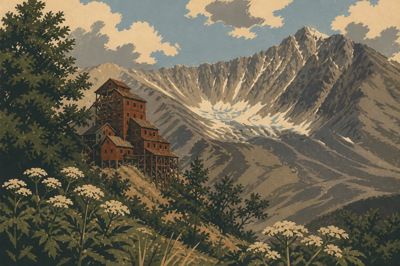
Wrangell-St. Elias is the largest national park in the United States, covering 20,500 square miles, an area larger than Switzerland. It's a wall of volcanoes, including Mount Wrangell, which still smokes, and Mount St. Elias, the country's second-highest peak at 18,009 feet. Only two gravel roads enter the park. We take McCarthy Road, a 60-mile route laid over an old railroad where a track spike still turns up now and then. It ends at a footbridge over the Kennicott River. We leave the car, cross on foot, and take a shuttle for the last few miles to McCarthy and Kennecott. There, a ghost town built around copper rises from the valley, its 14-story red wooden mill clinging to the slope. It operated from 1911 to 1938, then was abandoned overnight when the ore ran out. Above it, Root Glacier makes for a full day on blue ice with crampons. This is the trip's second high point, the one built around human history.
Act VI. Valdez, Thompson Pass, and the Return on the Glenn Highway
From Glennallen, the Richardson Highway drops south to Valdez. It crosses Thompson Pass at 2,677 feet, one of the snowiest places in Alaska, with winters bringing more than 65 feet of snow. Just beyond it, Keystone Canyon sends two waterfalls, Bridal Veil and Horsetail, down its walls. Valdez appears at the head of its bay, the country's northernmost ice-free port and the pipeline's terminus, surrounded by mountains and glaciers. We board a boat to get close to Columbia Glacier. The town was rebuilt after the 1964 earthquake liquefied its original site.
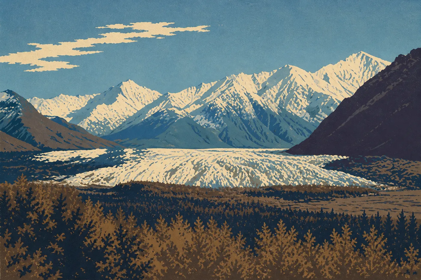
Then we close the loop. We drive back to Glennallen, take the Glenn Highway west, and pass Matanuska Glacier, one of the few glaciers you can reach by car. Its tongue of ice runs almost to the road, and we walk onto it through a private access point. Farther on, Palmer and the Matanuska Valley recall a farming colony from the 1930s, known for its giant vegetables at the state fair. We return to Anchorage with the loop complete, having circled a country the size of a continent. We return the keys where we picked them up, but nothing looks the same size anymore.
Les trois parcs nationaux que cette route traverse
Alaska's Short Window: When to Go
This trip has one constraint that dictates everything else: it works only within a short window. The roads and services on this loop generally open from late May through mid-September. Outside that window, Alaska becomes a winter country again, and most of this loop simply shuts down.
In June, the midnight sun rules. Fairbanks gets nearly 24 hours of daylight around June 21. It's magical, but mosquitoes are at their worst, and Denali's high tundra still holds patches of snow early in the month. July and August are the warmest and greenest months, with every service open, but they're also the busiest and most expensive. Boats and shuttles fill up. Late August is our favorite window. The nights grow dark enough for the first auroras, the days stay mild, and fireweed turns the tundra red. In September, fall colors flare briefly, but everything starts closing. Denali shuttles stop, the Dalton becomes unpredictable, and snow returns to the passes. One detail determines many dates: auroras require darkness, which is impossible beneath June's midnight sun.
Driving in Alaska: Distances, Gas, and Gravel
Distances are deceptive. Think in hours, not miles. The roads are two-lane, slowed by gravel and RVs, and the rough travel times in this account reflect that. Watch your fuel like a resource. Fill up in every village because the empty stretches are long. The Dalton is the most demanding, with Coldfoot as the only gas station for hundreds of miles. McCarthy Road and Denali Highway have none.
Gravel deserves its own paragraph. McCarthy Road, Denali Highway, and especially the Dalton are unpaved, with sharp rocks, dust, and sometimes a track spike on the old McCarthy railroad. The difficult part is the rental. Standard contracts prohibit gravel and specifically ban the Dalton and McCarthy Road. You need a specialty rental company that allows them, ideally with two spare tires and gravel coverage, or a second four-wheel-drive vehicle for the Arctic detour alone. Add wildlife on the road, especially moose at dusk, which pose a real collision risk. On remote stretches, there's no cell service. Download your maps for offline use, and carry water, food, and warm layers.
The Parks You Can Reach Only by Air
This loop covers only the Alaska you can drive to, and that's already a lot. But the state has eight national parks, and most have no roads. Road-accessible Alaska is just the beginning, with the other parks still waiting to be connected on a future trip. We brushed past the first one on the Dalton: Gates of the Arctic, whose threshold you truly cross only by small plane from Bettles, with no road or trail inside. The others are reached the same way, by seaplane.
Lake Clark is reached by seaplane from Anchorage, among volcanoes, turquoise lakes, and coastal brown bears. Katmai is home to the famous salmon-fishing bears of Brooks Falls. Reach it by seaplane via King Salmon, then continue to its Valley of Ten Thousand Smokes. Glacier Bay opens from Gustavus, by plane or boat, onto tidewater glaciers and whales in the Inside Passage. Four parks, four takeoffs. That's enough for a second trip, once this one has given you a taste for the rest.
Les parcs alaskiens qu’on gagne en avion
Variations on the Loop
Ten-day version, without McCarthy. Don't have two weeks? Cut the slowest, toughest stretch, McCarthy Road and the run into Wrangell. The loop keeps its backbone: Anchorage, Kenai, Denali, Fairbanks, then the return through the Richardson and Glenn. You save two or three days without breaking the story.
The return by ferry. Instead of driving back from Valdez, you can load the car onto an Alaska Marine Highway ferry and glide through Prince William Sound, between glaciers, to Whittier near Anchorage. It's another way to close the loop, but book well ahead.
All the way to the Arctic Ocean. For experienced drivers, the Dalton continues beyond the Arctic Circle to Deadhorse and Prudhoe Bay on the Beaufort Sea. It's a several-day round trip over gravel, for well-prepared crews only, but it takes you to the edge of the continent.
Frequently Asked Questions
How long does an Alaska road trip take?
For this loop from Anchorage, allow 12 to 15 days: Kenai, Denali, the Arctic detour on the Dalton, then McCarthy and Valdez. In the shorter version, 10 days is enough if you skip McCarthy Road.
When should you take this Alaska road trip?
From late May through mid-September, the only window when the roads and services are open. June brings the midnight sun, late August brings the first auroras and fall colors, and by September everything starts closing.
Do you need a 4x4 for this road trip?
Not for the paved backbone of the route. The Dalton and McCarthy Road, however, are gravel and off-limits to standard rental cars. You'll need a vehicle from a specialty rental company, with spare tires and gravel coverage.
Can you visit Alaska without flying?
This entire loop can be done by road, without a single flight. But seeing all of Alaska means flying. Five of the state's eight national parks, including Katmai and Glacier Bay, can be reached only by seaplane or boat.
Are the Dalton Highway and Gates of the Arctic worth the detour?
Yes, if you're properly equipped. It's the high point of the trip, the road that drops you at the edge of the country's wildest national park. Without the right vehicle, a one-day guided tour from Fairbanks to the Arctic Circle gives you an honest preview.