
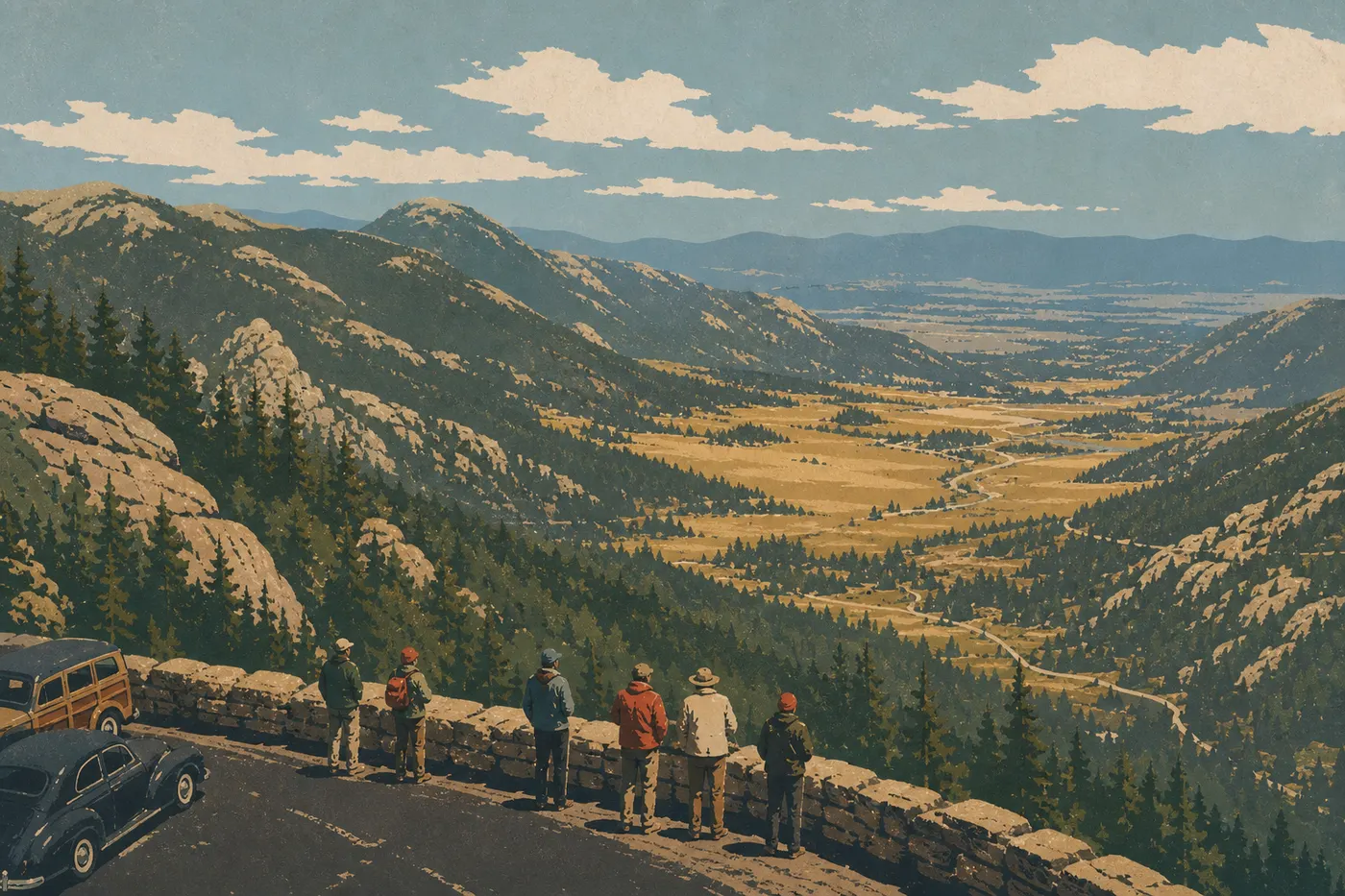
Rocky Mountain Itinerary: What to See in 1, 2, or 3 Days
Rocky Mountain National Park packs 72 peaks over 11,500 feet into a compact area in northern Colorado. The basic route is simple: enter from the east at Estes Park, cross the park on Trail Ridge Road, and exit on the west side at Grand Lake. For two days, this is the route we recommend first. With one day, Bear Lake Road gives you a solid overview. With three days, add Kawuneeche Valley and some high-elevation hikes. For an overview before you start planning, see our complete Rocky Mountain guide.
How Long Do You Need to Visit Rocky Mountain?
Plan on at least two days to cover the highlights: one day for the east side and Bear Lake Road, and another for Trail Ridge Road and the park's highest point accessible by road (12,182 feet). With one day, you can still see plenty, but pick one route instead of trying to do everything. With three days or more, you can explore Kawuneeche Valley, take on Longs Peak (14,259 feet, a full-day hike), and watch wildlife at dawn in Moraine Park.
One important note: Trail Ridge Road crosses the park for about 48 miles and closes in winter, usually from mid-October through late May depending on snowfall. If you're visiting in the off-season, your itinerary will look quite different.
Before You Go: Permits and Park Entrances
Rocky Mountain National Park is in northern Colorado, about 62 miles from Denver. Estes Park (on the east side, 1.5 to 2 hours from Denver) is the recommended starting point for this itinerary. Grand Lake (on the west side, about 2 hours away) is the natural exit. Our Getting There guide covers every route option and park entrance in detail.
Inside the park, free shuttles serve Bear Lake and several other areas. They're useful for avoiding full parking lots during the busy season. Find routes and schedules on the Getting Around Rocky Mountain page.
Timed entry reservation: During the busy season, from late May through mid-October, some areas require a timed entry reservation, including the Bear Lake Road Corridor. Book ahead on the NPS website. The vehicle fee is $30, and the pedestrian or bicycle fee is $15 per person. Our Fees & Passes page explains the annual pass options and their benefits.
Rocky Mountain National Park Areas
The park naturally divides into three areas, organized around the Continental Divide, which runs north to south through the park.
The East Side: Estes Park and Bear Lake Road
This is the park's busiest area. Bear Lake Road serves a string of glacial lakes, including Bear Lake, Nymph Lake, Dream Lake, and Emerald Lake, connected by trails suitable for almost every ability level. Moraine Park, the broad open meadow just past Beaver Meadows Entrance, is a well-known place to watch elk, especially at sunrise in September during the rut. Beaver Meadows Visitor Center, the park's main visitor center, sits at the east entrance.
Trail Ridge Road and the Alpine Zone
Trail Ridge Road connects Estes Park and Grand Lake across the alpine tundra. It reaches its highest point at Alpine Ridge, accessible from Alpine Visitor Center at Fall River Pass (11,795 feet). Above 11,000 feet, the trees disappear and the road skirts windblown tundra. The scenery is spectacular, and it can be cold even in July, so bring an extra layer and high-SPF sunscreen. UV exposure increases quickly at this elevation.
The West Side: Kawuneeche Valley and Grand Lake
Kawuneeche Valley follows the Colorado River through its first few miles. Yes, the river that carved the Grand Canyon starts here. The atmosphere is quieter than on the east side, with marshy meadows where moose are often seen along the forest edge. Grand Lake, the small town at the west exit, is more laid-back than Estes Park. Kawuneeche Visitor Center welcomes visitors at the west entrance.
Day-by-Day Itinerary
Day 1: Bear Lake Road and the Glacial Lakes
Leave Estes Park early to avoid a full Bear Lake parking lot, or take the shuttle from Park & Ride. Start with the Dream Lake trail (2.1 miles round-trip, 325 feet of elevation gain). It's easy to reach and offers views of Hallett Peak reflected in the water. Continue to Emerald Lake (3.6 miles round-trip total) if you still have the energy.
In the afternoon, head down to Moraine Park for an easy walk along the Big Thompson River. If you're visiting in September, golden hour from 5 to 7 p.m. is ideal for photographing elk during the rut. End the day in Estes Park.
Day 2: Trail Ridge Road, Alpine Tundra, and the West Side
Set out early toward Trail Ridge Road from Fall River Entrance (US-34). Stop at Many Parks Curve Overlook (10,433 feet) for your first view of the valleys below. Continue to Alpine Visitor Center at Fall River Pass (11,795 feet). The trail to Alpine Ridge Summit (12,182 feet) takes 30 minutes and puts you right in the alpine tundra. Expect cool temperatures even in the middle of July.
Continue down to Grand Lake. Have lunch in town, built along the shore of Colorado's largest natural lake. In the afternoon, explore Kawuneeche Valley on foot or by car, keeping an eye on the forest edges. Return to the east side for the night, or stay in Grand Lake.
Day 3: Longs Peak or More Exploring
The third day gives you two distinctly different options.
Option A (challenging): Take on the Keyhole Route on Longs Peak (14,259 feet). Leave before 5 a.m. from Longs Peak Trailhead. Plan on 8.7 to 9.9 miles round-trip and 5,250 feet of elevation gain. Thunderstorms frequently develop above 11,500 feet in the early afternoon, so be on your way down before 1 p.m. Check the Rocky Mountain weather forecast the night before and the morning you leave.
Option B (scenic and relaxed): Return to Bear Lake Road for trails you skipped on day one, especially toward Glacier Gorge and Mills Lake (5 miles round-trip, with moderate elevation gain). You can also continue to Wild Basin in the southern part of the park, a quieter area with pleasant waterfalls early in the season, including Calypso Cascades and Ouzel Falls.
Options for Different Trip Lengths
One-day express trip: Focus on Bear Lake Road in the morning and Moraine Park in the afternoon. Skipping Trail Ridge Road is frustrating, but it's the honest choice. If crossing the park is your only goal, drive the entire road and stop at the main overlooks. That's a completely different kind of trip.
Classic two- to three-day trip: The day-by-day itinerary above is designed for you. Two days cover the highlights. The third gives you more depth and flexibility.
Regional road trip: Rocky Mountain National Park fits naturally into a Colorado road trip. Grand Junction (3 hours west) opens the way to Utah's canyons, including Arches and Canyonlands. Denver, 1.5 hours to the southeast, makes it easy to combine the park with Mesa Verde or Black Canyon of the Gunnison. Our Road Trip and Region sections cover these multi-park extensions.
Itinerary Map
The NPS publishes an official Unigrid map. You can pick one up for free at the entrance stations or download it from the NPS website. It shows both sides of the park, the main roads, trailheads, and visitor centers.
Useful landmarks to keep in mind:
- Trail Ridge Road (US-34 in the park): 48 miles east to west, open only during the season.
- Bear Lake Road: a secondary road starting at Moraine Park and ending at the Bear Lake parking lot.
- Approximate distances: Bear Lake is about 9 miles from Beaver Meadows Entrance. Alpine Visitor Center is about 19 additional miles from Bear Lake.
Our annotated Rocky Mountain map uses the Unigrid PDF and adds the stops on this itinerary.
Where to Stay Along the Route
Estes Park has most of the lodging on the east side, including motels, B&Bs, and riverfront lodges. Grand Lake is smaller on the west side, but it's a pleasant choice if you prefer peace and quiet. Inside the park, five campgrounds are available. Moraine Park and Glacier Basin are the most sought-after and require booking well in advance. Our Where to Stay guide covers every option, including hotels, camping, and RV sites.
Extend Your Trip: What to See Around Rocky Mountain
Big Thompson Canyon: The road to Denver follows this narrow, impressive canyon, with several trout-fishing spots along the way.
Denver (1.5 hours southeast): RiNo, craft breweries, and the Denver Art Museum. It's a good place for an overnight stop.
Ski country in winter: Vail, Breckenridge, and Steamboat Springs are 2 to 3 hours away by car. In summer, their bike parks and mountain biking trails are worth the detour.
Our Road Trip and Region sections cover these regional and multi-park extensions.
The Ideal Itinerary for Your Schedule
With 1 day: Bear Lake Road in the morning and Moraine Park in the afternoon. Aim for sunrise at Dream Lake if you're staying in Estes Park.
With 2 days: Add the full Trail Ridge Road drive on day two and continue down to Grand Lake. In our view, this is the most satisfying plan for a first visit.
With 3 days: Choose between climbing Longs Peak, which is challenging and memorable, and exploring Wild Basin, which is scenic and relaxed. Both are worth the trip.
Frequently Asked Questions
What is there to do in Rocky Mountain National Park?
Rocky Mountain National Park offers more than 400 miles of marked trails, a drive across Trail Ridge Road, elk and moose watching, and visits to glacial lakes such as Dream Lake and Emerald Lake. Find the full list of activities in the Rocky Mountain things to do guide.
Where are the Rocky Mountains?
The Rocky Mountains stretch for more than 3,000 miles from New Mexico to Canada. Rocky Mountain National Park is in northern Colorado, about 62 miles northwest of Denver.
What is the highest point in Rocky Mountain National Park?
Longs Peak reaches 14,259 feet. It's the park's highest point and its only 14er, meaning a peak over 14,000 feet, accessible by an officially marked trail from Longs Peak Trailhead without mountaineering equipment.
Can you drive across Rocky Mountain National Park?
Yes. Trail Ridge Road (US-34) crosses the park from east to west for about 48 miles, from Estes Park to Grand Lake. Depending on snowfall, it opens from late May through mid-October. It's one of the highest paved roads in the United States, reaching 12,182 feet at its highest point.
How much does it cost to enter Rocky Mountain?
The vehicle entrance fee is $30, with the peak-season rate sometimes increased to $35. The fee for pedestrians and bicyclists is $15 per person. A park-specific annual pass is available for $70. The America the Beautiful pass ($80 per year) covers admission to all national parks. Our Fees & Passes page compares every option.
When is the best time to visit Rocky Mountain?
July and August are the busiest months, with every road open. September offers an excellent balance of wildlife activity and smaller crowds, with the elk rut, early fall color, and crowds beginning to thin. Find month-by-month details in the best time to visit Rocky Mountain guide.
Do you need to reserve ahead of time to enter the park?
During the busy season, from late May through mid-October, a timed entry reservation is required for the Bear Lake Road Corridor on high-traffic days. Campgrounds inside the park book up months in advance. Outside the busy season, you don't need a reservation to enter.
Is Rocky Mountain National Park worth visiting?
Rocky Mountain is worth the trip if you're looking for high country that's accessible by car and a range of hikes in one visit. It's one of the most visited national parks in the United States, and that popularity reflects the remarkable concentration of sites within a manageable area. Elevation is the one factor you need to plan for. Give yourself a day to acclimate if you're arriving from sea level.