
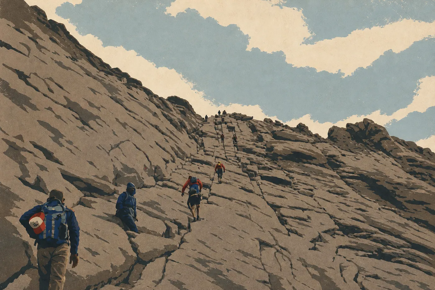
Rocky Mountain Hiking: The Best Trails for Every Ability
Rocky Mountain National Park covers more than 400 square miles in northern Colorado, with elevations ranging from 7,808 feet to more than 14,000 feet depending on the peak. More than 300 miles of trails cross the park, from lakeside walks suitable for everyone to climbs of the 14ers, peaks above 14,000 feet. That variety is real, as long as you know what to choose for your ability and available time.
The quick answer: if you only do one hike, make it Emerald Lake in the Bear Lake area. It links three alpine lakes over 3.6 miles round-trip, with 600 feet of elevation gain, and is accessible in late spring. For beginners or families, choose Alberta Falls (1.6 miles round-trip). For a demanding day with a 360-degree panorama, take on Flattop Mountain (8.8 miles round-trip, 2,850 feet of elevation gain).
How to Prepare for a Hike in Rocky Mountain
Permits and Entry
Entry to the park isn't free. Plan on $35 per vehicle, valid for 7 days. The park also offers an annual pass for frequent visitors. Day hikes don't require an additional trail permit; your entrance fee is enough. During the busy season, from late May through mid-October, a Timed Entry Permit is required to enter the park between 5 a.m. and 6 p.m. You can reserve one online through recreation.gov, often several weeks in advance. For entrance fees and annual passes, the National Parks Fees & Passes page explains the main admission options and passes.
Altitude and Acclimatization
Most popular trailheads sit between 9,200 and 10,800 feet. Visitors most often underestimate this risk factor. If you're coming from Denver or a coastal city, spend at least one night in Estes Park at 6,900 feet before starting a long hike. Headaches, nausea, and unusual shortness of breath are signs of early altitude sickness. The only answer is to lose elevation, not to push through it.
Afternoon Thunderstorms
Lightning storms hit the peaks in the early afternoon almost every summer day. On Trail Ridge Road or at the top of Flattop Mountain, a storm can appear in less than 20 minutes. The golden rule is to get below treeline, around 11,200 feet, by 1 p.m. For long outings, an early start before 7 a.m. is essential.
Wildlife
Elk, moose, black bears, mountain lions, bighorn sheep, and marmots live throughout the park. The required minimum distance is 100 feet from large mammals. Never feed an animal, even a cute pika. The Rocky Mountain wildlife guide explains how to identify the species and how to behave around them.
Water and Dogs
The park's streams may carry Giardia. Bring your own water or a filter, and plan on 0.5 to 1 liter per hour of exertion. Dogs aren't allowed on unpaved trails. They're permitted on a leash in parking lots, campgrounds, and along paved roads, but that's it. Check the Rocky Mountain lodging guide if you're traveling with a pet and looking for options outside the park.
The Best Hikes, Area by Area
Bear Lake Area
The Bear Lake area has the park's most accessible trailheads, served by a free shuttle from a transit center at 9,450 feet. It's the obvious starting point for a first day of hiking, and by far the busiest.
Alberta Falls 1.6 miles round-trip · 130 feet of elevation gain · 1 hour · Easy · Out-and-back The trail follows Glacier Creek along a wide, well-maintained path to a waterfall framed by granite. It's ideal for kids and for warming up at the start of your trip. Start at Glacier Gorge Trailhead. The parking lot fills by 8 a.m. in summer, so take the shuttle from Park & Ride.
Emerald Lake (via Nymph Lake and Dream Lake) 3.6 miles round-trip · 600 feet of elevation gain · 2 to 2.5 hours · Easy to moderate · Out-and-back Three alpine lakes line up over less than 2 miles, with Hallett Peak, at 13,002 feet, in the background. Nymph Lake is 0.6 miles in, Dream Lake is 1.4 miles in, and Emerald Lake is 1.8 miles in. In June, the final 550 yards may still be snow-covered, so light traction is useful. This is the park's busiest trail, and arriving at the parking lot before 7 a.m. is strongly recommended. Start at Bear Lake Trailhead.
Flattop Mountain 8.8 miles round-trip · 2,850 feet of elevation gain · 5 to 6 hours · Difficult · Out-and-back The trail climbs steadily from Bear Lake to alpine tundra at 12,762 feet. From the summit, you'll have a full panorama: the Front Range to the east and the Grand Lake valley to the west. Strong hikers can continue to Hallett Peak, at 13,002 feet, adding 1 mile round-trip. The plateau is completely exposed to thunderstorms, so follow the 1 p.m. rule without exception. Start at Bear Lake Trailhead.
Wild Basin (Southeast Area)
Wild Basin is the least crowded area on the east side. Trails follow streams and pass through pine forests, well away from the bustle around Bear Lake. Two destinations are worth the trip.
Calypso Cascades and Ouzel Falls 3.5 miles round-trip to Calypso Cascades · 4.9 miles round-trip to Ouzel Falls · 700 to 950 feet of elevation gain · Moderate · Out-and-back Both waterfalls are on the same trail, which you can shorten or combine depending on your energy. Calypso Cascades already makes a nice halfway rest stop. Ouzel Falls is more impressive. Start at Wild Basin Trailhead on U.S. Highway 7, south of Estes Park. The parking lot has only about 30 spaces, so arrive before 8 a.m. in summer.
Thunder Lake 16.2 miles round-trip · 2,100 feet of elevation gain · Full day · Difficult · Out-and-back (or overnight) A glacial cirque lake at 10,760 feet, surrounded by cliffs. The distance keeps the crowds away, and the setting fully deserves its solitude. To spend the night, you need a wilderness camping permit, reserved through recreation.gov. Start at Wild Basin Trailhead.
Longs Peak
Longs Peak, at 14,259 feet, is the park's only 14er and Colorado's most iconic summit. It has its own trailhead, 8 miles south of Estes Park along U.S. Highway 7. Two distinct goals are available depending on your ability.
Chasm Lake 8.4 miles round-trip · 2,500 feet of elevation gain · 4 to 5 hours · Difficult · Out-and-back The lake sits in a glacial cirque beneath the Diamond, Longs Peak's sheer east face. The view is striking without committing to the summit climb. The trailhead elevation, 10,860 feet, requires good acclimatization beforehand. Start at Longs Peak Trailhead.
Longs Peak Summit (Keyhole Route) 14.5 miles round-trip · 4,855 feet of elevation gain · 10 to 15 hours · Very difficult · Out-and-back The standard route goes through the Keyhole, a rocky notch at 13,090 feet, followed by exposed sections over granite. You don't need a rope, but you do need to be comfortable on exposed rocky terrain. You must start before 3 a.m. to avoid afternoon thunderstorms. Snowfall is possible through August. The route is generally in condition from July through September. It's for experienced hikers with the right gear.
Trail Ridge Road and Alpine Tundra
Trail Ridge Road crosses the park at elevations above 12,000 feet for several miles. Parking areas line the road and provide access to the tundra without a significant climb.
Tundra Communities Trail 1.6 miles round-trip · 100 feet of elevation gain · 45 minutes · Easy (in appearance) · Out-and-back Perched at 11,780 feet above Rock Cut Parking Area, this short trail immerses you in alpine tundra, with moss cushions, July wildflowers, and pikas calling from between the rocks. The physical effort is minimal, but the altitude weighs on visitors who aren't acclimatized. The trail is accessible only when Trail Ridge Road is open, generally from late May through mid-October. Start at Rock Cut Parking Area.
West Side (Grand Lake)
The west side sees far fewer visitors than the Estes Park side. The atmosphere is quieter, the forests are denser, and Grand Lake makes a pleasant base.
Adams Falls 0.5 miles round-trip · 50 feet of elevation gain · 20 minutes · Very easy · Out-and-back A short walk through the forest leads to a beautiful waterfall. It's perfect with young children or as a warm-up. Start at East Inlet Trailhead, east of Grand Lake village.
Easy Hikes That Are Great for Families
Three trails work well for children ages 6 and up without special physical preparation.
Alberta Falls (Bear Lake) has a wide path, very little elevation gain, and a waterfall at the end. It's the go-to first hike in the park, and you can even do it with 4-year-olds.
Tundra Communities Trail (Trail Ridge Road) is short but spectacular, thanks to its otherworldly setting. Bring a windbreaker even in midsummer, and tell kids to stay on the marked trail. Tundra vegetation can take centuries to recover from a single misstep.
Adams Falls (Grand Lake) is less than 0.6 miles round-trip and the first section is partly stroller-friendly. It's ideal for a stop while visiting the west side.
For a visit planned around younger children, the Rocky Mountain family guide lists picnic areas, interactive visitor centers, and ranger programs for kids.
More Demanding Hikes for Going Farther
Flattop Mountain from Bear Lake is the most straightforward climb for reaching alpine tundra and taking in a complete panorama of both sides of the park. You can add Hallett Peak if conditions are good.
Chasm Lake from Longs Peak Trailhead takes you to a glacial cirque beneath the Diamond for a powerful visual experience without committing to the full summit climb. It's physically demanding and visually striking.
Ouzel Falls via Wild Basin is a long forest hike with two waterfalls in an area that's much less crowded than Bear Lake. It's the best choice if you want to get away from the crowds.
If you'd like to link several days with nights at altitude, backcountry camping is possible with a permit. The Rocky Mountain camping page explains which areas are allowed and how to reserve in advance or at the last minute.
Access, Trailheads, and Parking
The park has two main access corridors. The east side, through the Beaver Meadows and Fall River entrances toward Estes Park, serves most trails. The west side, through the Grand Lake entrance, serves the western slope.
Free Shuttles (Bear Lake Road Corridor Shuttle) During the busy season, the NPS runs free shuttles from the Park & Ride Visitor Center to the Bear Lake, Glacier Gorge, and Alberta Falls trailheads. It's the most reliable way to reach the park's most popular area. Bear Lake and Glacier Gorge parking lots fill between 7 and 8 a.m. in summer.
Longs Peak Trailhead The parking lot is larger, but it fills on July and August weekends by 4 a.m. Hikers aiming for the summit start in the dark.
Wild Basin Trailhead There are only about 30 spaces. Arrive before 8 a.m., and carpooling is strongly encouraged.
East Inlet Trailhead (Grand Lake) This quieter parking area is accessible from the park's west entrance and works well for families.
Road closures and Timed Entry Permit availability are updated daily on the official NPS website. Our Access & Transportation page and Getting Around page cover shuttles, parking lots, and approach routes.
When to Hike in Rocky Mountain
In short, July and August offer the most reliable conditions, with nearly all trails clear of snow. June opens lower-elevation trailheads but leaves snow at higher elevations. September brings golden light and far fewer people, along with a risk that Trail Ridge Road will close early after the first snowfalls. Winter hiking requires snowshoes, and high-elevation trails are inaccessible.
For month-by-month details, typical weather conditions, and seasonal closures, see the When to Go page.
Which Hike Fits Your Profile?
| Profile | Trail | Round-trip distance | Difficulty |
|---|---|---|---|
| Family, kids | Alberta Falls · Adams Falls | 1.6 miles / 0.5 miles | Easy |
| First visit | Emerald Lake | 3.6 miles | Easy to moderate |
| Panoramic view | Flattop Mountain | 8.8 miles | Difficult |
| Waterfalls | Ouzel Falls (Wild Basin) | 4.9 miles | Moderate |
| Photography / glacial cirque | Chasm Lake | 8.4 miles | Difficult |
| Alpine tundra | Tundra Communities Trail | 1.6 miles | Easy |
| Extreme challenge | Longs Peak Summit | 14.5 miles | Very difficult |
Before you head out, the complete Rocky Mountain guide brings all the practical information together in one place, including activities, access, lodging, and visitor tips.
Frequently Asked Questions
What is the best hike in Rocky Mountain?
Emerald Lake, 3.6 miles round-trip with 600 feet of elevation gain, is the park's signature hike. It links three alpine lakes beneath Hallett Peak with an effort that's manageable for most visitors.
Is hiking in Rocky Mountain difficult?
Difficulty varies widely by trail. Alberta Falls and Adams Falls work for all ability levels. Flattop Mountain and Chasm Lake require good physical conditioning. Longs Peak is for experienced hikers who are comfortable on exposed rocky terrain.
Is it safe to hike in Rocky Mountain?
Yes, as long as you prepare carefully. Start early, carry enough water, bring warm layers even in summer, keep your distance from wildlife, and acclimatize to the altitude before any long hike. Afternoon thunderstorms and altitude sickness are the two main risks.
Do you need a permit to hike in Rocky Mountain?
Not for day hikes. The park entrance fee is enough. During the busy season, from late May through mid-October, a Timed Entry Permit is required to enter the park between 5 a.m. and 6 p.m. Backcountry camping requires a wilderness permit.
Are there easy or family-friendly hikes in Rocky Mountain?
Yes. Alberta Falls, at 1.6 miles round-trip, Adams Falls, at 0.5 miles round-trip, and Tundra Communities Trail, at 1.6 miles round-trip and short but high in elevation, work well for families with children ages 6 and up. The Family page covers activities for younger children.
Can you hike with your dog in Rocky Mountain?
Not on unpaved trails. Dogs are allowed on a leash in parking lots, campgrounds, and along paved roads, but they can't access the trails. Arrange pet care if you're hiking in the park for several days.
When is the best time to hike in Rocky Mountain?
July and August offer the best conditions on nearly all trails. The When to Go page provides month-by-month conditions for each area.
Are there loop hikes in Rocky Mountain?
Yes. Several loops are possible around the Bear Lake area by combining Alberta Falls, Glacier Gorge, and various connecting trails. Most of the hikes featured here are described as out-and-backs, which is a safer format if you don't know the terrain yet.
How do you reach the trailheads and parking lots?
The NPS free shuttle system serves the main Bear Lake area trailheads from the Park & Ride Visitor Center. You'll need a personal vehicle for Wild Basin, Longs Peak, and the west side around Grand Lake. Full details are on the Getting Around page and the Access & Transportation page.