
Great Smoky Mountains Hiking: The Best Trails for Every Level
With more than 930 miles of marked trails, elevations ranging from 876 feet to 6,644 feet, and one of the richest temperate forests in North America, Great Smoky Mountains can keep you hiking for a full week without ever feeling repetitive. It can be hard to know where to start without a plan.
Our clear top pick: Alum Cave Trail is the best all-around introduction, with old-growth forest, dramatic geological formations, and a manageable elevation gain. For a quick outing with a big payoff, Laurel Falls (2.6 miles round-trip on a paved trail) is a natural choice for families. For wide-open views without spending the night, Charlies Bunion from Newfound Gap offers the park's best panorama with a sustained but manageable day-hike effort.
How to Prepare for a Great Smoky Mountains Hike
Day-hike permits: You don't need a permit for a day hike in the park. Any overnight stay in the backcountry or in a shelter along the Appalachian Trail, however, requires a backcountry permit reservation through the NPS online system.
Wildlife comes down to black bears first. Great Smoky Mountains is home to about 1,500 black bears, one of the highest densities in North America. Make noise regularly on the trail so you don't surprise an animal, and carry your food in suspended bags or in the bear boxes available at campgrounds. If you encounter a bear directly, stay together, speak in a loud, firm voice, and never run. The elk in Cataloochee Valley are imposing and fully capable of charging, so stay at least 75 feet away at all times. The Great Smoky Mountains wildlife guide explains how to respond to each species.
Dogs: Dogs are allowed only on two trails, Gatlinburg Trail and Oconaluftee River Trail, as well as in campgrounds and on paved surfaces. Dogs are strictly prohibited on every other trail in the park, regardless of size.
Water: The park's streams may look crystal clear, but any surface water can contain pathogens. Always filter or treat it. Plan on at least 500 mL per hour of hiking under normal conditions.
Weather and elevation: The park ranges from 876 feet to 6,644 feet. The temperature difference between the valley floor and the ridges can reach 18 to 22°F. Clear skies in the valley don't guarantee good weather at higher elevations. Afternoon thunderstorms develop quickly in the Smokies, especially in summer. Always bring a waterproof windbreaker, whatever the season. For month-by-month conditions, see the Great Smoky Mountains weather guide.
Trail safety: The areas immediately around waterfalls are among the most dangerous places in the park. Moss-covered rocks are slick even in dry weather. Grippy footwear and trekking poles reduce most fall risks. Tell someone your planned route before you leave. For the park's complete rules, see our Great Smoky Mountains guide.
The Best Hikes, Area by Area
Newfound Gap and the Ridges: Elevation and Panoramas
Newfound Gap Road (US-441) crosses the park from Gatlinburg, Tennessee, to Cherokee, North Carolina, and provides access to the high-elevation trailheads. This is the go-to area for breathtaking views.
Charlies Bunion: 8.0 miles round-trip · 1,640 feet of elevation gain · 4 to 5 hours · difficult · out-and-back. Start at the Newfound Gap parking area, at 5,050 feet, and follow the Appalachian Trail east. The trail follows the ridgeline between Tennessee and North Carolina before reaching a shale outcrop overlooking the valley. On a clear day, the views stretch for dozens of miles. Start: Newfound Gap parking area. Tip: hit the trail before 8 a.m. to avoid summer afternoon thunderstorms.
Andrews Bald: 3.6 miles round-trip · 490 feet of net elevation gain (but a starting elevation of 6,400 feet) · 2.5 hours · moderate · out-and-back. From the Clingmans Dome parking area, the trail descends through a forest of spruce and Fraser fir before reaching a bald, a natural grassy clearing typical of the southern Appalachians where azaleas bloom in June. The clearing offers 360-degree views of the Smokies. Note that the Clingmans Dome parking area is generally closed from November through early April, so check NPS alerts before setting out.
Clingmans Dome: 1.0 mile round-trip · 330 feet of elevation gain · 45 minutes · short but very steep · out-and-back. A climb on a concrete trail leads to the observation tower at the park's highest point, 6,644 feet. When the clouds cooperate, you can see as far as South Carolina. The first half of the trail is partially accessible to visitors using an assisted wheelchair.
Roaring Fork: Waterfalls and Old-Growth Forest
The Roaring Fork Motor Nature Trail, which closes in winter, passes historic settlers' cabins and provides access to several waterfall hikes. The area is close to Gatlinburg, making it one of the park's busiest.
Rainbow Falls Trail: 5.4 miles round-trip · 1,686 feet of elevation gain · 3.5 to 4 hours · moderate to strenuous · out-and-back. The trail climbs steadily through oak and maple forest to Rainbow Falls. At 79 feet, it is the park's highest permanent waterfall. In sunny early-afternoon light, the curtain of water creates a natural rainbow at the base. Start: the trailhead on Cherokee Orchard Road, a few minutes from Gatlinburg. Waterproof shoes are recommended for the final stretch.
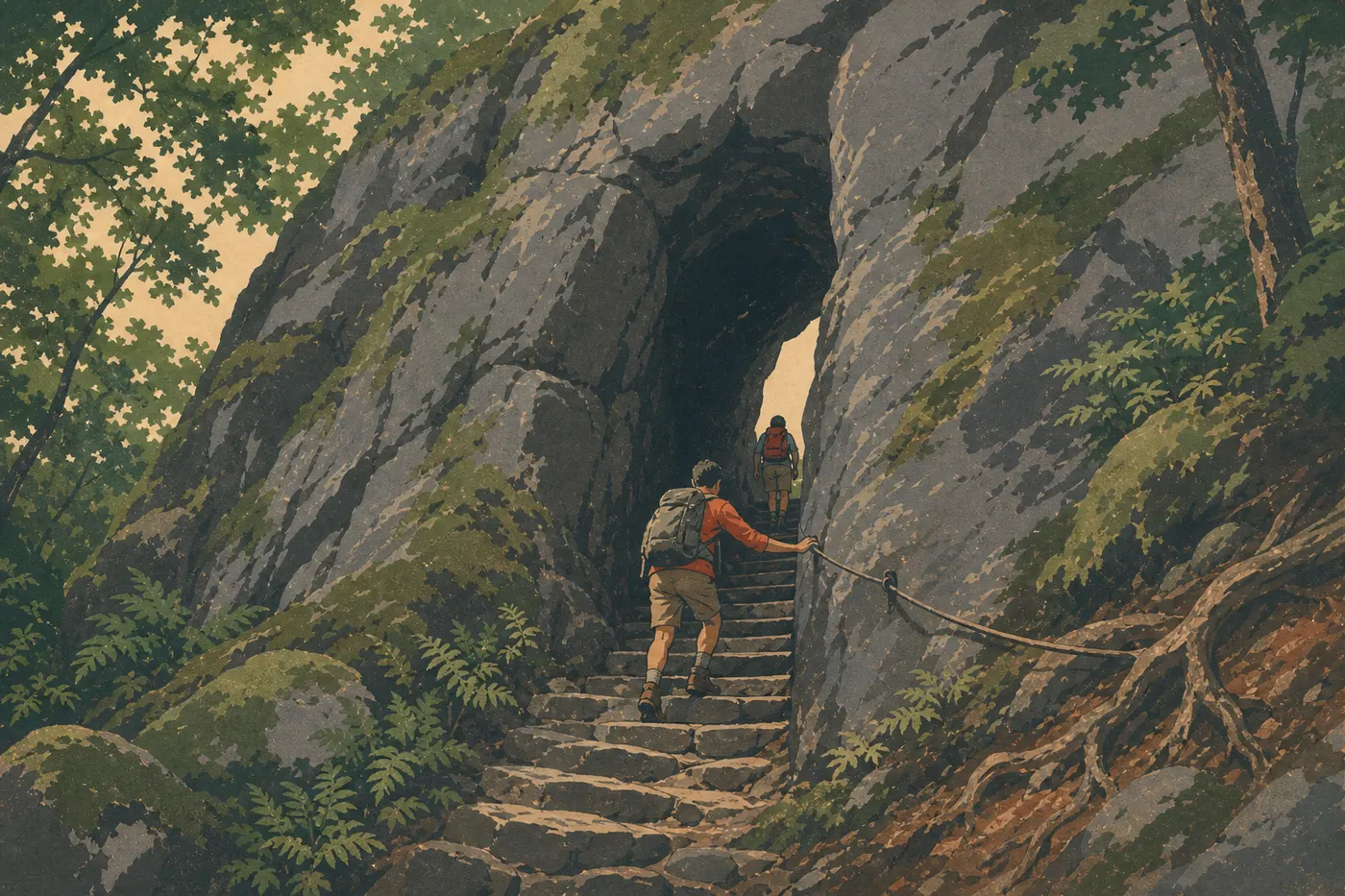
Alum Cave Trail (to Alum Cave Bluffs): 4.4 miles round-trip · 1,410 feet of elevation gain · 2.5 to 3 hours · moderate · out-and-back. This is our favorite introduction to the Smokies. The trail follows Alum Cave Creek and passes two carved rock formations, Arch Rock and then the Eye of the Needle, before reaching Alum Cave Bluffs, a 49-foot-high overhang of dark rock covered in mineral deposits. The valley view from the bluffs is worth the trip on its own. Start: Alum Cave parking area on US-441, about 8 miles south of Gatlinburg. Arrive before 9 a.m. during the busy season. The lot is often full by 10 a.m. You can continue to Mount Le Conte: 11.0 miles round-trip · 2,790 feet of elevation gain · 7 to 9 hours · difficult. See “Challenging and Full-Day Hikes” below.
Cades Cove: Meadow, Wildlife, and Settler History
On the western Tennessee side, Cades Cove is a secluded valley where the 10.6-mile scenic loop passes preserved settlers' cabins. The hikes here are less lofty, but wildlife is abundant, including deer, turkeys, and black bears along the edges in the morning.
Abrams Falls: 5.0 miles round-trip · 720 feet of elevation gain · 2.5 to 3 hours · moderate · out-and-back. The waterfall is only 20 feet high, but its pool is one of the most dramatic in the park. The trail winds through the woods before descending along the river. Start: the Abrams Falls parking area, signed from the Cades Cove Loop Road. A clear warning is warranted: several fatal drowning accidents are reported here every year. The rocks beside the falls are extremely slippery. Stay out of the water.
Rich Mountain Loop: 8.1-mile loop · 1,800 feet of elevation gain · 4 to 5 hours · moderate to strenuous · loop. This loop starts at the Cades Cove Visitor Center and climbs Rich Mountain's ridges for views over the valley. Less crowded than Abrams Falls, it is ideal for watching wildlife at sunrise in a quieter setting.
Greenbrier and Cataloochee: Solitude and Giant Waterfalls
Greenbrier is reached via Route 321 on the Tennessee side. Cataloochee, on the eastern North Carolina side, is the park's most secluded area. A mountain road with an unpaved section naturally filters out visitors in a hurry. Elk reintroduced in the 2000s regularly graze here at dusk.
Ramsey Cascades: 8.0 miles round-trip · 2,375 feet of elevation gain · 4 to 5 hours · difficult · out-and-back. At 98 feet, Ramsey Cascades is the park's highest waterfall. The second half of the trail passes through old-growth forest with century-old tulip trees more than 6.5 feet in diameter, some of the oldest trees in the park. The final section is strenuous. Start: the Ramsey Cascades parking area via Greenbrier Road, which is unpaved for the last few miles.
Porters Creek Trail: 4.0 miles round-trip · 660 feet of elevation gain · 2 hours · easy to moderate · out-and-back. This trail is especially beautiful in spring, from mid-April to early May, when trilliums, phlox, and wild violets carpet the understory. It follows old dry-stone walls and the ruins of a settlers' farm. Perfect for a quiet, uncrowded morning. Start: Greenbrier.
Easy, Family-Friendly Hikes
Laurel Falls Trail: 2.6 miles round-trip · nearly flat · 1 to 1.5 hours · easy · paved trail · out-and-back. The park's busiest paved trail leads to a two-tiered waterfall surrounded by mountain laurel. It works for kids as young as 4 or 5. Start: Little River Road, 3.1 miles west of Sugarlands Visitor Center. The parking area is often full after 10 a.m. in summer. Arrive early or go in the late afternoon.
Gatlinburg Trail: 2.5 miles round-trip · flat · 1 hour · easy · out-and-back. One of only two trails where dogs are allowed on a leash. It follows the West Prong Little Pigeon River from Sugarlands Visitor Center to the edge of Gatlinburg.
Oconaluftee River Trail: 3.1 miles round-trip · flat · 1 hour 15 minutes · easy · partially paved · out-and-back. The other dog-friendly trail, on the North Carolina side. Start at Oconaluftee Visitor Center. The trail overlooks the historic pioneer village, and you may spot elk in the river meadows in the morning and evening.
Noah “Bud” Ogle Nature Trail: 1.0-mile loop · flat · 30 minutes · very easy · loop. A short loop around a reconstructed 19th-century settlers' farm, ideal for families with young children or a quick break. Start on Cherokee Orchard Road.
For detailed advice on planning a trip with kids, see our guide to visiting the park as a family.
Challenging and Full-Day Hikes
Alum Cave Trail to Mount Le Conte: 11.0 miles round-trip · 2,790 feet of elevation gain · 7 to 9 hours · difficult · out-and-back. The full climb to the summit of Mount Le Conte, at 6,417 feet and the park's third-highest peak, is the most demanding day hike in the Roaring Fork area. The forest changes dramatically as you climb, from low-elevation oaks to dense spruce near the summit. Choose a spring or fall day rather than summer, when afternoon thunderstorms regularly trap hikers on the summit plateau.
Appalachian Trail from Newfound Gap: The AT crosses the park for 71 miles, with multiple access points. From Newfound Gap, you can head north to Icewater Spring Shelter (4.0 miles round-trip, moderate), or continue toward Charlies Bunion (see the Newfound Gap area) and beyond for one- or several-day point-to-point routes.
Ramsey Cascades: Already covered in the Greenbrier section, this trail clearly belongs in the “full-day strenuous” category with its 2,375 feet of elevation gain.
To combine several days on the trail and plan point-to-point routes on the Appalachian Trail, see our Great Smoky Mountains itinerary guide.
Access, Trailheads, and Parking
Great Smoky Mountains has three main entrances: Gatlinburg, Tennessee, to the northwest; Townsend, Tennessee, to the west; and Cherokee, North Carolina, to the south. Newfound Gap Road (US-441) connects Gatlinburg and Cherokee and stays open 24 hours a day, 7 days a week, year-round, weather permitting. It is the only road crossing the park from one side to the other, and it provides access to the busiest trailheads.
Parking: The lots at the most popular trailheads, including Laurel Falls, Alum Cave, Clingmans Dome, and Abrams Falls at Cades Cove, fill up between 9 and 10 a.m. during the peak season from June through October. Practical strategies:
- Arrive before 8 a.m. or after 3 p.m. to find a spot.
- From Gatlinburg, seasonal trolleys serve several park entrances on the Tennessee side. Find schedules and stops on the park shuttles and traffic page.
- The 10.6-mile, one-way Cades Cove Loop is reserved for pedestrians and cyclists on Wednesday and Saturday mornings during the summer season. It is a good time to hike without cars.
Great Smoky Mountains is one of the few U.S. national parks with no entrance fee. Driving into the park is completely free.
To plan your arrival at the park, including approach roads, regional transportation, and shuttles, see our guide to getting to Great Smoky Mountains.
When to Hike in Great Smoky Mountains
In short, spring, from mid-April through late May, is best for wildflowers and still-open forest; fall, from mid-October through early November, brings peak color; summer offers lush greenery in exchange for crowds; and winter brings solitude and frosted ridge landscapes, provided you have the right gear. Ice on high-elevation trails can be serious.
The park's high elevations get a later spring and an earlier fall than the valleys. Keep that shift in mind when planning a ridge climb. For complete month-by-month details on temperatures, precipitation, and crowds, see our When to Visit page.
Which Hike Fits Your Profile?
You're traveling with kids: Laurel Falls or Oconaluftee River Trail. They're short, have no dangerous elevation gain, and are accessible and well marked.
You want to see wildlife, including bears, elk, and turkeys: Take the Cades Cove Loop early in the morning for bears and wild turkeys, or Cataloochee Road at dusk for elk. Abrams Falls combines a hike with a high chance of wildlife sightings.
You're looking for waterfalls: Laurel Falls is easy and short, Rainbow Falls is moderate and the highest waterfall, and Ramsey Cascades is difficult and the most spectacular. They're listed in order of increasing elevation gain.
You want open horizons: Charlies Bunion, Andrews Bald, or Clingmans Dome. All three are in the Newfound Gap area and can be combined into a full day.
You're an experienced hiker looking for a full day: Alum Cave Trail to Mount Le Conte or Charlies Bunion with an extension along the Appalachian Trail.
You're traveling with a dog: Only Gatlinburg Trail and Oconaluftee River Trail are allowed.
For lodging options near trailheads, including trailside campgrounds and lodges on LeConte that require reservations well in advance, see our Camping guide and Where to Stay page. To place these hikes within the park's full range of activities, our Great Smoky Mountains guide covers the essential highlights.
Frequently Asked Questions
What's the best hike in Great Smoky Mountains?
For an intermediate hiker, the best choice is Alum Cave Trail to Alum Cave Bluffs (4.4 miles round-trip), with remarkable forest, unique geological formations, and open valley views for a reasonable effort. For an easy family outing, Laurel Falls remains the standard choice.
Is hiking in Great Smoky Mountains difficult?
Difficulty varies widely by trail. Some are paved and nearly flat, such as Laurel Falls, while others climb 2,790 feet in a single day, such as Mount Le Conte. The park has options for every level, from toddlers to experienced hikers.
Is it safe to hike in Great Smoky Mountains?
Yes, if you follow a few practical rules: make noise so you don't surprise black bears, never approach wildlife closer than 75 feet, filter surface water, and get back down before summer afternoon thunderstorms. Serious accidents most often involve falls on slippery rocks near waterfalls.
Do you need a permit for a day hike in Great Smoky Mountains?
No. Day hikes in the park don't require a permit. Only overnight backcountry or shelter stays require a paid backcountry permit, available online through the NPS website.
Are there easy, family-friendly hikes in Great Smoky Mountains?
Yes. Laurel Falls (2.6 miles, fully paved), Gatlinburg Trail (2.5 miles along the river, dogs allowed), and Noah Bud Ogle Nature Trail (a 1.0-mile loop) work for kids as young as 4 or 5.
Can you hike with a dog in Great Smoky Mountains?
No, except on two trails: Gatlinburg Trail and Oconaluftee River Trail. Dogs are prohibited on every other trail in the park, regardless of size.
What's the best time to hike in Great Smoky Mountains?
Spring, from mid-April through late May, is best for wildflowers, while fall, from mid-October through early November, is best for color. For complete month-by-month data, see our When to Visit page.
Are there loop hikes in Great Smoky Mountains?
Yes. Rich Mountain Loop (8.1 miles) in the Cades Cove area is one of the most enjoyable. Noah Bud Ogle Nature Trail offers a short family loop of 1.0 mile. Many point-to-point routes can be turned into partial loops by connecting several intersecting trails.
How do you reach the trailheads and parking areas?
The lots at the busiest trailheads fill before 10 a.m. during peak season. Arrive before 8 a.m. or in the late afternoon, or use the seasonal shuttles from Gatlinburg. All the practical details are on our Access & Transportation page.
Which trails are best for wildlife, waterfalls, or views?
For wildlife, try the Cades Cove Loop in the morning for bears, deer, and turkeys, and Cataloochee at dusk for elk. For waterfalls, choose Laurel Falls (easy), Rainbow Falls (moderate), or Ramsey Cascades (difficult). For views, Charlies Bunion, Andrews Bald, and Clingmans Dome are all in the Newfound Gap area.