
What to Do in Great Smoky Mountains: Top Sights and Activities
Great Smoky Mountains is the most visited national park in the United States, and for good reason. The park straddles the Tennessee-North Carolina border across a landscape of old-growth forests, misty ridges, and valleys inhabited until the last century. Admission is free, scenic roads cross the range from end to end, and wildlife appears with a regularity that still surprises first-time visitors.
The five sights you shouldn't miss: Newfound Gap Road and its overlooks across the Appalachian ridges, the Cades Cove loop for wildlife and 19th-century historic cabins, Clingmans Dome at 6,644 feet, Cataloochee Valley for elk at dusk, and at least one hike to a waterfall.
Great Smoky Mountains at a Glance: Areas, Access, and Getting Around
The park revolves around one central route, Newfound Gap Road (US-441), which crosses the range from north to south between Gatlinburg, Tennessee, and Cherokee, North Carolina, for about 31 miles. Everything else is organized on either side of this route.
Three main entrances:
- Gatlinburg, Tennessee: the northern entrance and the busiest. It provides direct access to Sugarlands Visitor Center, the starting point for many hikes and the Roaring Fork Motor Nature Trail.
- Townsend, Tennessee: the western entrance, noticeably quieter. It's the best way to reach Cades Cove without driving through Gatlinburg.
- Cherokee, North Carolina: the southern entrance, 1.9 miles from Oconaluftee Visitor Center and the Cherokee area.
The park is free to enter, making it one of the few U.S. national parks with no entrance fee. Newfound Gap Road, Little River Road, and Laurel Creek Road stay open 24/7 year-round, weather permitting. Secondary roads close seasonally, including the Roaring Fork Motor Nature Trail from November through March.
You'll get around mostly by car. The scenic road network is the backbone of a visit. Parking lots fill quickly in summer and fall, especially at Laurel Falls and Clingmans Dome. Arriving before 9 a.m. or after 5 p.m. isn't just a comfort tip. It's a practical necessity during peak season. The Great Smoky Mountains access guide has details on the free shuttles available from Gatlinburg during some seasons.
Elevation plays a central role in planning. The park rises from 876 feet in the valleys to 6,644 feet at Clingmans Dome. A 9 to 20°F difference between the valley and the summit is common, and clear skies below don't guarantee the same conditions above. Dress in layers, even in midsummer. The Great Smoky Mountains weather guide describes expected conditions at different elevations month by month.
How Much Time Do You Need to Visit Great Smoky Mountains?
Two days let you cover the park's two main areas, Cades Cove on the first day and Newfound Gap Road and Clingmans Dome on the second, without rushing. Three days give you room to add Cataloochee, a strenuous hike, and a foray into North Carolina.
A weekend is enough for a first overview of the park. A week gives you the luxury of waiting for ideal weather at Clingmans Dome, exploring more challenging trails, and taking day trips toward Asheville or the Blue Ridge Parkway.
The Great Smoky Mountains itinerary guide offers three detailed plans, for 2, 3, and 5 days, with stops in the right order and drive times between areas.
Top Sights by Area
Newfound Gap Road: The Central Route and Its Overlooks
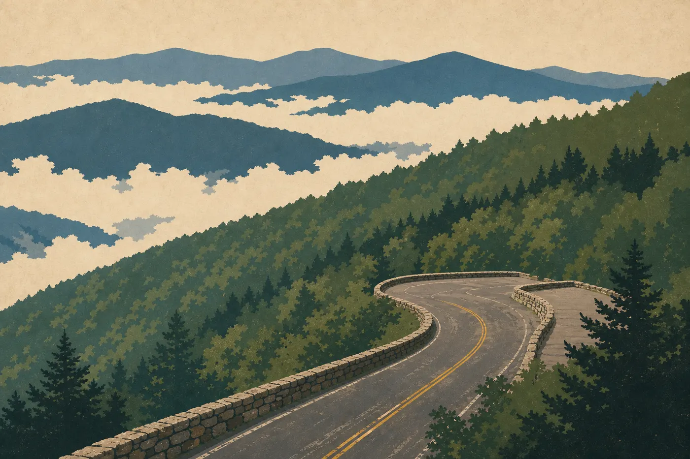
Newfound Gap Road is the only road that crosses the park from one side to the other. Its 31 miles between Gatlinburg and Cherokee make up the basic tour we recommend to everyone, even if you're driving without stopping to hike. The forest changes character with elevation, and views of the Appalachian ridges gradually open up as you climb.
The road's highest point is Newfound Gap, at 5,046 feet. A large parking area and a terrace let you stop on the ridgeline, at the exact point where Tennessee meets North Carolina. A monument marks the state line. This is also where the Appalachian Trail crosses the road, making it a good place to encounter long-distance hikers passing through.
Eight miles west, a turnoff leads to Clingmans Dome. The road is open from April through November. The 6,644-foot summit is topped by a spiral concrete observation tower built in the 1950s. On a clear day, the view stretches more than 100 miles across the Appalachians. Fog is common, sometimes lasting into early afternoon. If you have a choice, go early in the morning after a clear night. The parking area is about 0.5 miles from the summit on foot, along a paved trail with 500 feet of elevation gain.
Several overlooks line the road as you descend toward Cherokee. Oconaluftee Valley Overlook offers a panorama of the North Carolina valley. Waterrock Knob, just outside the park on the Blue Ridge Parkway, is one of the local photographers' most popular sunrise photo spots.
Cades Cove: A Valley of Deer, Bears, and Cabins
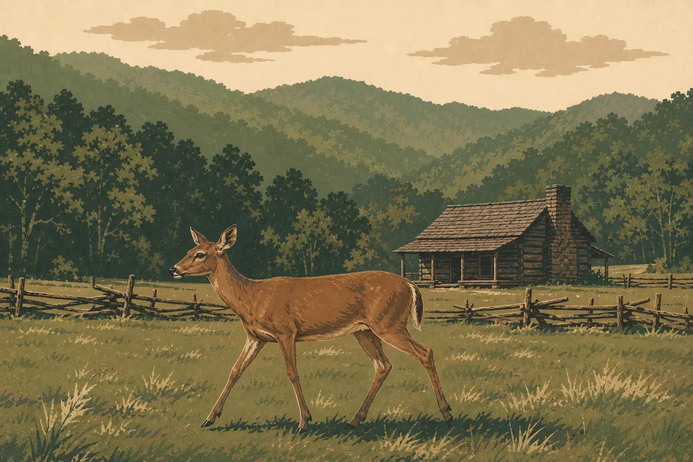
Cades Cove is a bowl of meadows surrounded by forest in the park's western section. An 11-mile, one-way loop road circles it. It's consistently one of the park's most reliable wildlife-viewing areas, and one of the few places where wildlife and historic sites share the same field of view.
White-tailed deer appear on nearly every visit, especially early in the morning and late in the afternoon in the open meadows. Black bears are regularly spotted in the fields, particularly in spring and fall. The rule is strict: stay in your car, keep your distance, and never feed the animals. A bear that becomes accustomed to human food eventually has to be euthanized. That's the reminder rangers give whenever a crowd gathers.
The valley also holds an exceptional concentration of well-preserved 19th-century buildings in their original locations, including water mills, log cabins, chapels, and barns. Cable Mill is a working mill, with its millstones and water-powered machinery on display. Guides in period clothing take turns there in summer.
Allow 2 to 4 hours for the full loop, depending on how many stops you make and how busy it is. Traffic can slow dramatically when a bear is along the road. On Wednesday and Saturday mornings from May through September, the road closes to cars until 10 a.m. Bicycles and pedestrians get it to themselves, which completely changes the atmosphere.
Roaring Fork: A Wild Loop with Waterfalls
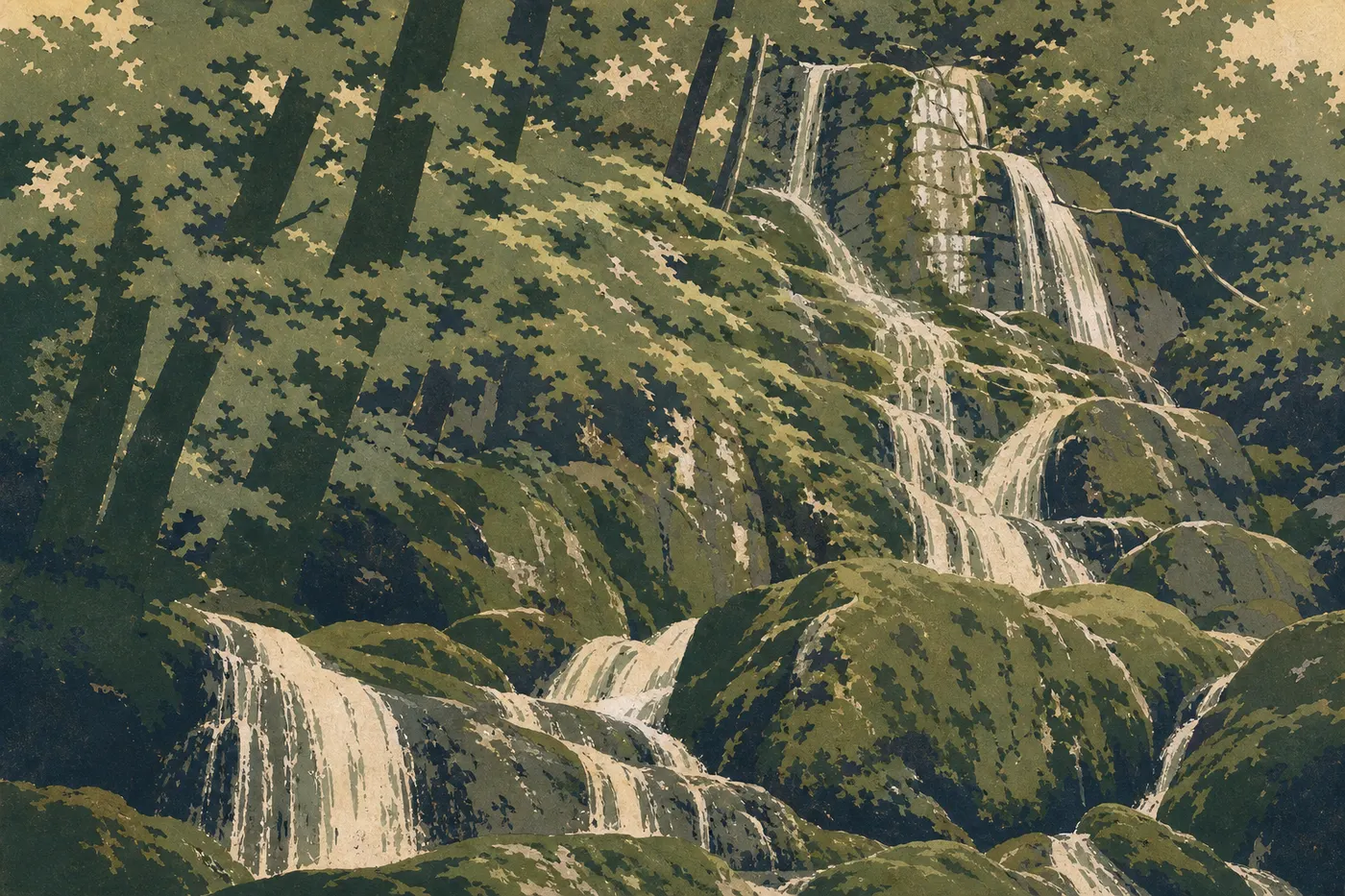
The Roaring Fork Motor Nature Trail is a 5.6-mile, one-way road that leaves Gatlinburg to the northeast. It follows a mountain stream through a forest of red spruce and rhododendrons. The vegetation is so dense in places that light has trouble getting through, even in summer.
Several short trails begin right from the roadside. Place of a Thousand Drips is a five-minute walk from its parking area. The reconstructed 18th- and 19th-century settler cabins along the road recall that this valley was densely settled before the park was created in the 1930s. Some families were forcibly relocated, a history the park now tells without avoiding it.
Rainbow Falls (see the hiking section) starts in this area and makes for a more demanding 3-hour round-trip outing.
The road is closed from November through March, and during rainy weather because the pavement becomes very slippery in shaded sections.
Cataloochee: Elk Valley
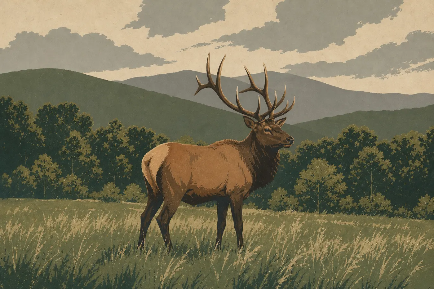
Cataloochee is the park's most remote and quietest area, in the northeastern corner of North Carolina. Access involves 12 miles of mountain road, partly unpaved at the end, from I-40. Allow 45 minutes from the interstate and bring a vehicle in good condition.
The valley's main draw is elk viewing. A reintroduction program launched in 2001 by the NPS and the Cherokee Nation rebuilt a herd of about 200 animals. Dawn and dusk are the best times, in the meadows at the bottom of the valley. On a visit in October, I counted six bulls in velvet in less than an hour. There was no staging and no engine noise, just fog and russet-colored woods.
The area also has some of the park's best-preserved historic buildings, including a school, a Methodist church, and several 19th-century farms. Two campgrounds let you spend the night here, which changes how you experience the place.
Deep Creek and Fontana Dam: The Southern Park
Deep Creek, a short distance from Bryson City, North Carolina, is known for its three waterfalls, all accessible on foot from the main parking area. Juney Whank Falls (10-minute round trip), Tom Branch Falls (15 minutes), and Indian Creek Falls (50 minutes) are easy to visit in sequence, with no particular difficulty.
Locals also come here for tubing in summer, meaning they float down the stream seated in an inflatable inner tube. You can rent the equipment for the day in Bryson City, a few miles from the entrance. It's family-friendly, a little wet, and a world away from the atmosphere of the big trails.
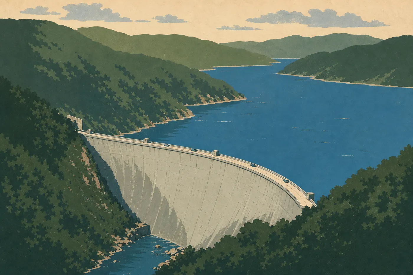
Fontana Dam, on the park's southwestern boundary, is one of the tallest dams in the Tennessee Valley Authority system, rising 479 feet. The dam supplies a lake along the park's southern edge. An overlook at the top offers views of the lake and the ridges to the north.
Foothills Parkway: The Ridge Road
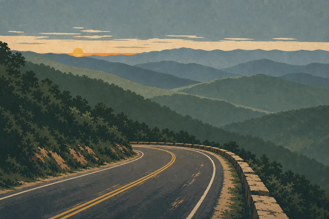
Foothills Parkway follows the park's northwestern boundary, outside its strict limits but within its immediate viewshed. The western section, from Walland to Chilhowee, is the oldest and easiest to drive. Overlooks line the ridge, with broad views across Tennessee's rolling hills.
Its eastern section, between Cosby and Interstate 40, was completed after decades of work. It provides access to views of the park's wildest ridges, without the traffic on Newfound Gap Road.
Photographers working at sunrise and sunset consider this route the best in the area in fall, when the forests turn red and ocher across dozens of miles.
The Best Hikes in Great Smoky Mountains
Great Smoky Mountains has more than 930 miles of marked trails. Here's our selection, from easiest to most demanding.
Laurel Falls (2.5 miles round-trip, little elevation gain): the park's most accessible waterfall, on a paved trail suitable for families. The parking area fills by 8 a.m. during the season. Arrive early or after 4 p.m.
Alum Cave Trail (4.3 miles round-trip to the rock overhangs, 8.1 miles to LeConte Lodge): a steady climb with unusual geological formations, including clay arches and dripping alcoves, plus open views along the way. One of the park's best effort-to-reward hikes.
Rainbow Falls (6.2 miles round-trip): the park's highest free-falling waterfall, at 85 feet. The climb from Roaring Fork is sustained but well marked. Allow 3.5 to 4 hours total.
Ramsey Cascades (7.5 miles round-trip): the wildest hike on this list. The old-growth forest in Ramsey Valley is classified as old growth. The 98-foot cascades make the six hours of hiking worthwhile.
Andrews Bald (4.7 miles round-trip from Clingmans Dome): a grassy clearing above treeline, blooming with rhododendrons in June. The only trail accessible from the summit.
Technical details for each trail, including exact elevation gain, trail conditions, access conditions, and parking, are in the Great Smoky Mountains hiking guide.
Other Activities by Interest
Wildlife Viewing
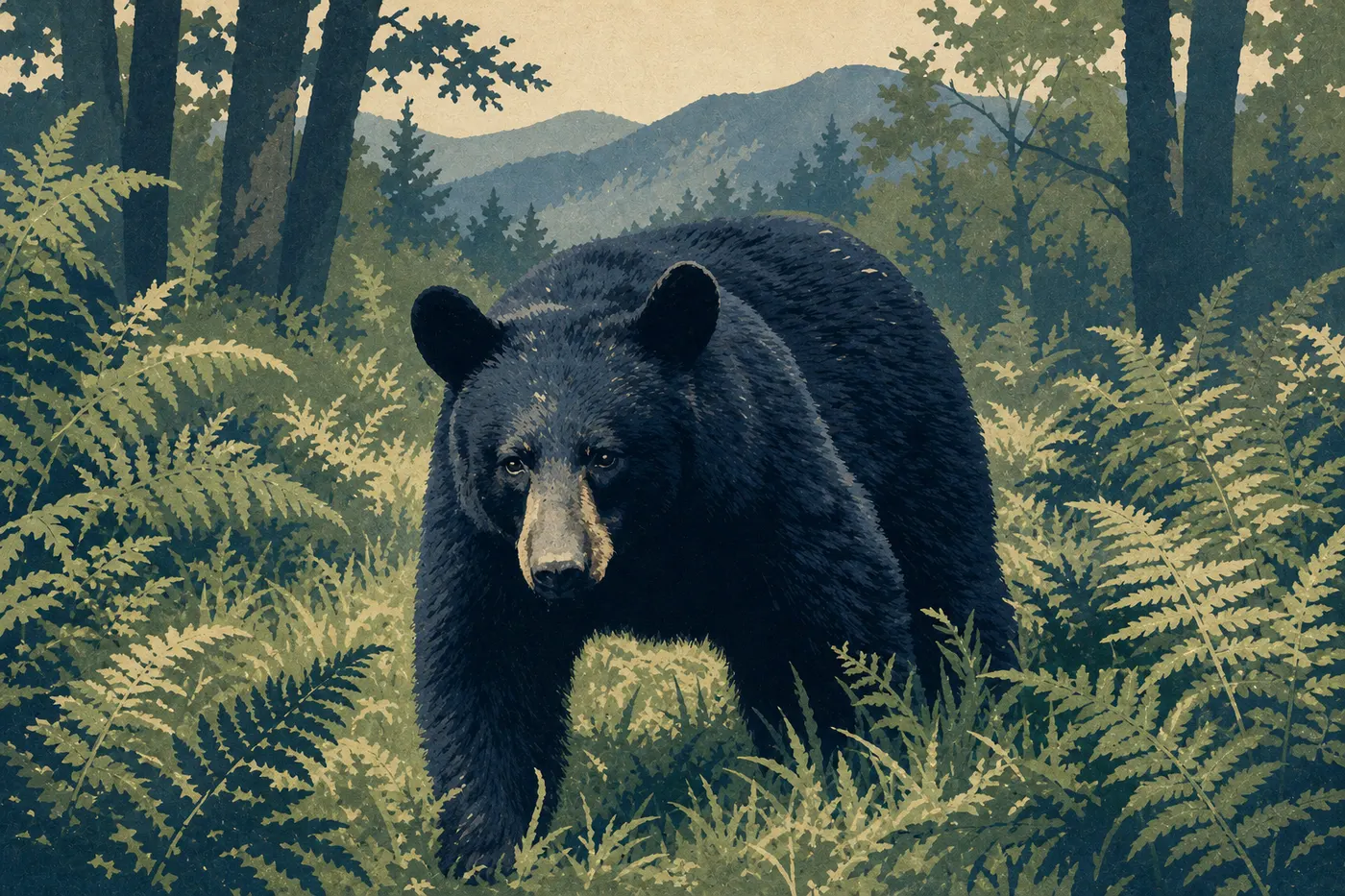
Great Smoky Mountains is home to more than 65 mammal species and 240 bird species. Black bears are the stars. The park has about 1,500 of them, one of the highest densities in the Appalachians. Cades Cove and Cataloochee are the two areas with the most reliable chances of seeing them.
Every year in May and June, a rare phenomenon draws visitors from around the world: synchronous fireflies (Photinus carolinus). The insects flash in unison for two to three weeks in the forest around Elkmont. Access is by lottery through recreation.gov, with registration opening in March. Entry is free if you have a shuttle ticket. The Great Smoky Mountains wildlife guide covers the viewing calendar and species to look for in detail.
Biking
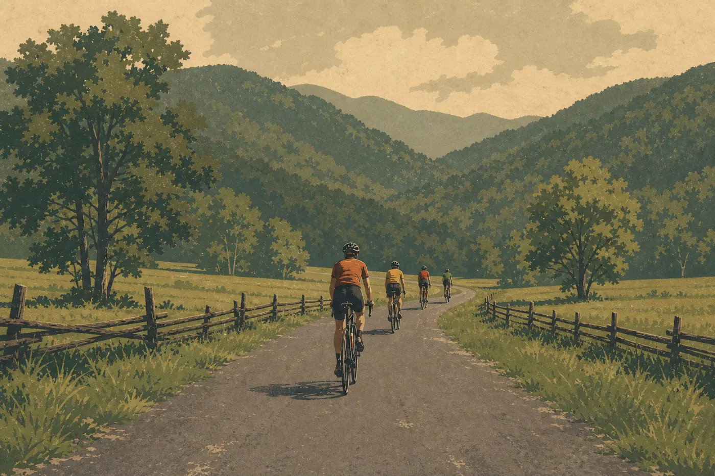
The Cades Cove loop is reserved for bicycles and pedestrians on Wednesday and Saturday mornings from May through September, until 10 a.m. The flat road and bucolic setting make it a perfect family outing. Bikes are available to rent at the entrance to the loop, so you don't need to bring your own.
Fly Fishing
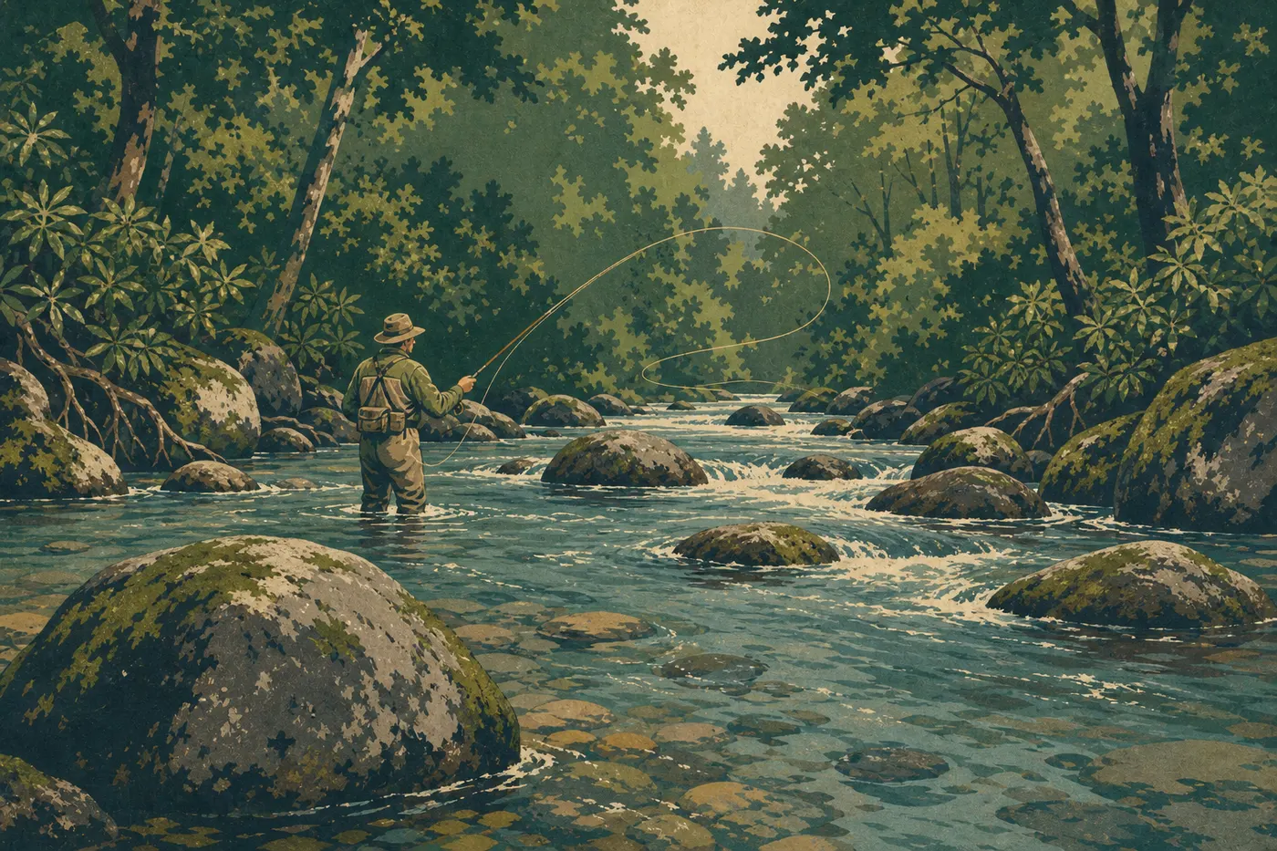
Great Smoky Mountains has one of the best trout-fishing networks on the East Coast. Little River, Abrams Creek, and Deep Creek are the most popular streams. A state fishing license, from Tennessee or North Carolina depending on your area, is required. The park doesn't require an additional permit, but some areas are catch-and-release only.
Swimming

Several natural swimming holes are accessible on foot, particularly around Deep Creek and along Little River Road. The water is cold even in August, around 59 to 64°F depending on the stream. The park has no officially developed swimming areas. People swim in the pools between the rocks, with all the unpredictability that entails, including currents and changing flows after rain.
Photography and Stargazing
The night sky is remarkably dark in areas far from the entrances. The ridges along Foothills Parkway and the clearings of Cataloochee are favorite spots for local astrophotographers. For daytime photography, the forests of Roaring Fork and the Cades Cove meadows in the morning golden hour are unbeatable in fall.
Visiting with Kids
The park works for kids of all ages. The Junior Ranger program, with a booklet to complete and have checked at visitor centers, is designed for ages 5 to 12 and covers wildlife, plants, and Appalachian history. The short waterfall hikes, including Laurel Falls, Tom Branch Falls, and Juney Whank Falls, are achievable goals for young children without special equipment. The Great Smoky Mountains family guide collects ideas organized by age and hiking time.
Things to Do Around Great Smoky Mountains
Gatlinburg and Pigeon Forge
Gatlinburg is the park's northern gateway town. Its main street, known as The Strip, mixes souvenir shops, moonshine distilleries that have been legal for a few decades, and tourist arcades. The vibe is unapologetically kitschy, and the town makes no apologies for it. That's often exactly what you need after two days on forest trails.
Pigeon Forge, 9 miles north, is home to Dollywood, the amusement park founded by Dolly Parton. If you're traveling with kids ages 6 to 14, pairing the national park in the morning with an amusement park in the afternoon works perfectly well in a single day.
Asheville, North Carolina
Asheville is about 90 minutes from Cherokee via US-74. The city is known for its music scene, including bluegrass, folk, and indie, craft breweries, and Biltmore Estate, the largest privately owned house in the United States, built by the Vanderbilt family in the late 19th century. A half-day on the estate is a full outing in its own right.
Blue Ridge Parkway
The Blue Ridge Parkway starts in Cherokee, north of town, and follows the Appalachian ridges north for 466 miles to Shenandoah in Virginia. You can drive it in separate sections. Our Appalachian Road Trip guides provide the landmarks for an itinerary linking the two parks.
Cherokee, North Carolina
Cherokee, at the park's southern entrance, is the seat of the Eastern Band of Cherokee Indians. The Museum of the Cherokee People, in its current form since 2021, is one of the most thoroughly documented Native American museums on the East Coast. A half-day is enough to get the essentials. The history of removal, including the Trail of Tears, is presented with a rigor that makes the museum worth the trip on its own.
The Essentials: What to See First in Great Smoky Mountains
Three well-planned days give you a solid overview of the park. Start at Cades Cove at dawn for wildlife, history, and a quiet loop. Then cross the park via Newfound Gap Road to Clingmans Dome, and set aside a morning for elk in Cataloochee. Add a hike suited to your fitness level, such as Alum Cave Trail for a moderate effort or Ramsey Cascades for a full day in the forest, and you'll have covered the essentials.
Is the park worth the trip? Yes, and not only if you're a hiker. The scenic roads alone offer a powerful experience. Old-growth forests, fog on the ridges that gave the range its name, and free-roaming wildlife in Cades Cove don't require trail shoes. Free admission and no reservation requirement, except for campgrounds and synchronous fireflies, also make it one of the national park system's most accessible parks.
To plan your stay, our complete Great Smoky Mountains guide brings together all the practical information, rules to know, and useful contacts.
Frequently Asked Questions
What should you see in the Smoky Mountains?
The must-see sights in the Smoky Mountains are Newfound Gap Road and Clingmans Dome, whose summit reaches 6,644 feet, the Cades Cove loop for wildlife and historic buildings, and Cataloochee Valley for elk. Laurel Falls and Rainbow Falls round out a basic list accessible to everyone.
How many days do you need to visit Great Smoky Mountains?
Two days let you cover the main areas, Cades Cove and Newfound Gap Road. Three days are needed to add Cataloochee and a strenuous hike. Our Itinerary & Length page offers complete 2-, 3-, and 5-day plans with the stops in order.
Is Great Smoky Mountains worth visiting?
Great Smoky Mountains is absolutely worth visiting. Admission is free, biodiversity is exceptional, with more than 19,000 documented species, more than in all of Northern Europe, and the scenic roads offer a powerful experience even without hiking. It's the most visited national park in the United States, with more than 12 million visitors a year.
What are the essential things to do in Great Smoky Mountains?
The essential things to do in Great Smoky Mountains are watching wildlife at Cades Cove at dawn, crossing the park via Newfound Gap Road, going up to Clingmans Dome in clear weather, hiking to Laurel Falls or Alum Cave, and visiting Cataloochee for elk.
Which hike should you do in Great Smoky Mountains?
The right hike depends on your fitness level. Choose Laurel Falls for an easy family outing, 2.5 miles with little elevation gain, Alum Cave Trail for a good effort-to-view ratio, 4.3 to 8.1 miles depending on how far you go, or Rainbow Falls for a spectacular waterfall, 6.2 miles with a sustained climb. Full trail details are on our Hiking page.
Can you swim in Great Smoky Mountains?
You can swim in Great Smoky Mountains in the natural swimming holes along the streams, particularly at Deep Creek and on Little River. The water stays cold even in midsummer, around 59 to 64°F. The park has no officially developed swimming areas. Check flow conditions before entering the water, especially after rain.