
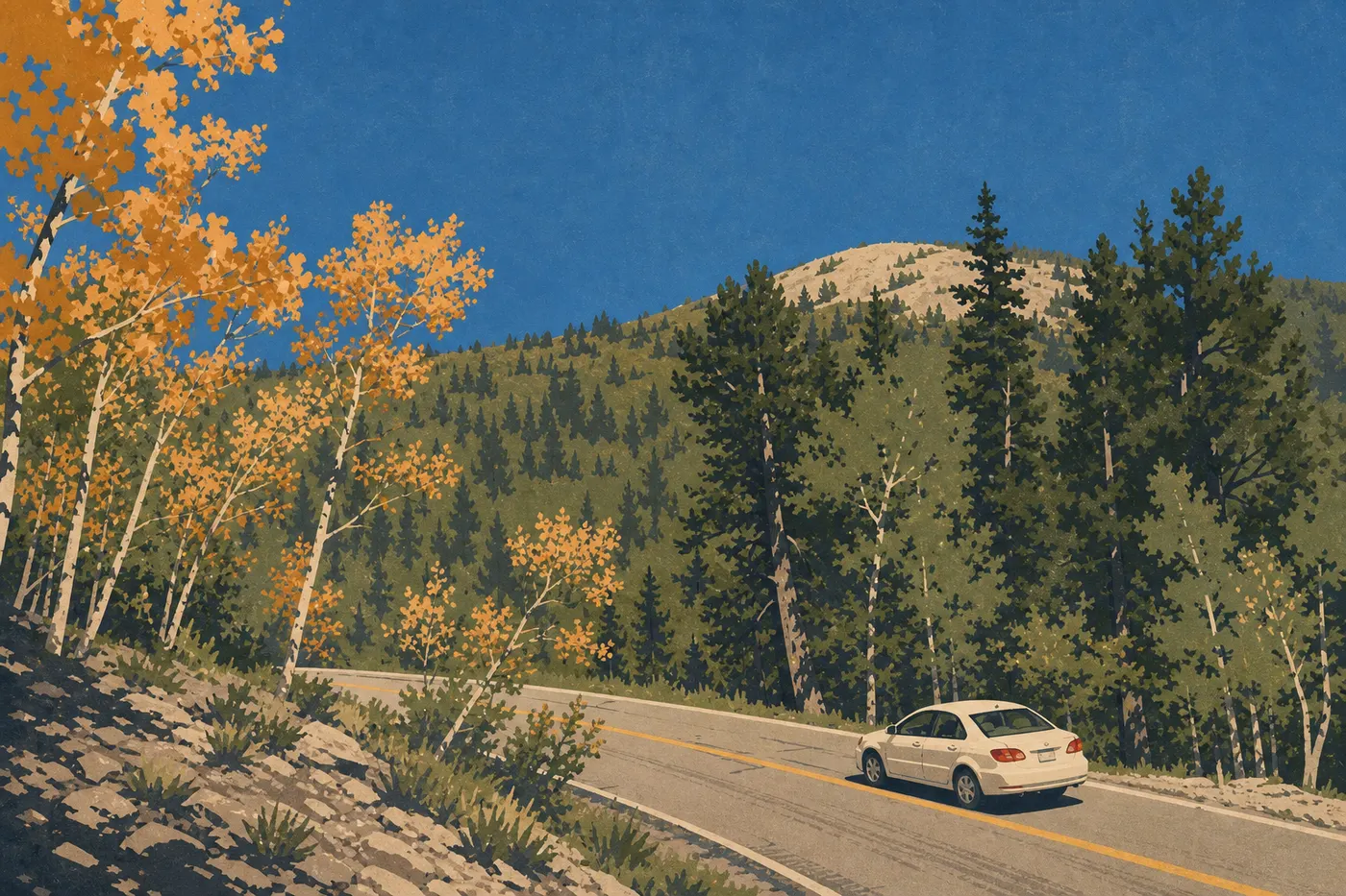
Getting Around Great Basin National Park: Access, Roads, and Parking
The short answer: at Great Basin, you'll need your own car. There are no shuttles, buses, or public transportation anywhere in or around the park. You set your own pace on roads that cross one of the quietest landscapes in the NPS system.
To reach Great Basin by car from Salt Lake City, Las Vegas, or Reno, see the distances, airports, and driving routes in the guide to getting to Great Basin.
One entrance to the park
Great Basin has one main entrance, through Baker via Nevada State Route 488. There is no toll booth in the usual sense, since the park doesn't charge a vehicle entrance fee. For tour prices at Lehman Caves, the National Parks Fees and Passes page explains entrance fees and pass options.
Lehman Caves Visitor Center, about 3.1 miles from the entrance, is the logical starting point. You'll find paper maps, road-condition updates, the cave tour schedule, and restrooms. It's open during the day year-round, with reduced hours in the off-season.
Getting around the park
By car
Your own car is the only practical way to explore Great Basin. Two main roads organize traffic through the park.
Wheeler Peak Scenic Drive: this paved road forms the park's backbone, climbing 12 miles from the visitor center area to about 10,170 feet, with 360-degree views of the Great Basin Desert and the surrounding ranges. It generally opens in late spring after the snow melts and closes after the first major snowfalls in fall. Conditions change from year to year, so check road conditions on the NPS website the day before you head out.
The speed limit is 35 mph on most of the park's road system. Use extra caution on the high-elevation switchbacks, well before you reach the legal limit.
Baker Creek Road: an unpaved road south of Nevada State Route 488. Standard vehicles can use it in dry weather, but it gets muddy quickly after rain. RVs and trailers are not recommended.
Snake Creek Road: an even more isolated secondary access road south of the park. It's suitable for ordinary vehicles in dry conditions. Call the visitor center before heading out if you don't have four-wheel drive.
By bike
Bikes are allowed on roads open to traffic but not on trails. Wheeler Peak Scenic Drive is technically rideable, but the climb is demanding, with more than 1,970 feet of elevation gain over 12 miles, and cars share the road. It's best left to experienced cyclists in calm weather, early in the morning before traffic picks up.
Where to park
Great Basin is one of the least-visited national parks in the United States. Parking is rarely an issue except during summer astronomy programs.
Lehman Caves Visitor Center: a large paved lot and the starting point for cave tours and lower-elevation trails. During the busy season, arrive before 10 a.m. on stargazing nights so you don't miss a spot.
Wheeler Peak Campground / Summit Trailhead: parking at the end of Wheeler Peak Scenic Drive, at about 9,840 feet. Spaces are limited. On summer weekends, the lot often fills by midmorning. Leave early. It's that simple.
Intermediate trailheads: small parking areas are spaced along Wheeler Peak Scenic Drive, including Bristlecone Pine Trailhead and Alpine Lakes Loop. On weekdays, you'll almost always find an open space.
Distances and drive times between areas
The park is compact compared with Yellowstone or the Grand Canyon. You can get anywhere in less than 30 minutes from the visitor center.
| Route | Distance | Estimated time |
|---|---|---|
| Visitor Center → Wheeler Peak Summit Trailhead | 12 miles | ~30 min |
| Visitor Center → Baker Creek Trailhead | ~3.1 miles | ~8 min |
| Visitor Center → Snake Creek Road | ~6.2 miles | ~15 min |
| Baker (town) → Visitor Center | 5 miles | ~10 min |
To plan your day and decide which areas to visit first, see our Itinerary and Timing page and our complete guide to Great Basin.
Special cases: RVs, vans, accessibility, and pets
RVs and trailers: Wheeler Peak Scenic Drive is closed to large vehicles, including long RVs and trailer combinations. Vehicles over a certain total length may not go beyond Lehman Creek Campground. Be sure to check the maximum permitted length on the NPS website before leaving the valley. Avoid Baker Creek Road and Snake Creek Road with any trailer. To plan a trip in a converted van or other camper, our RV page covers designated areas and specific restrictions.
Accessibility: Lehman Caves Visitor Center has reserved parking spaces and an accessible entrance. The trail to the cave entrance isn't completely level. Call the visitor center before your visit to ask about current accessibility features. Conditions vary by season.
Pets: Dogs are allowed in the park on a leash no longer than 6 feet, on roads and around parking areas. They aren't allowed in Lehman Caves or on most marked trails. Check with the visitor center for any seasonal restrictions.
Practical transportation information: fuel, cell service, and weather
Fuel: there is no gas station in the park. Baker has a small grocery store, but fuel availability varies by season. Fill up in Ely, 62 miles west on U.S. Highway 50, or near the Nevada State Route 93 entrance from Las Vegas. Don't count on Baker to top off your tank.
Cell service: it's virtually nonexistent in the park and very limited in Baker. On the Loneliest Road, you can go for dozens of miles without a single bar of service. Download offline maps from Gaia GPS, Maps.me, or the official NPS Unigrid PDF before leaving the coverage area.
NPS app: the official National Park Service app lets you download maps and trails for Great Basin. It works offline once the data has loaded.
Elevation and weather: the park ranges from 4,920 feet in the valley to 13,064 feet at Wheeler Peak. Weather changes quickly with elevation. In summer, severe thunderstorms break out almost every afternoon, so plan to get off high-elevation trails before 2 p.m. Snow can fall at any time of year above 9,840 feet. Check our Weather page before every outing.
Frequently asked questions
How do you get around Great Basin National Park?
You'll get around Great Basin exclusively by private car. Wheeler Peak Scenic Drive, with 12 paved miles, and a few unpaved roads make up most of the network. There are no shuttles or public transportation.
Can you visit Great Basin by car?
Yes. It's the only practical option. The park was designed around car travel, and the lack of a shuttle is a permanent feature, not a temporary shortcoming.
Where can you park in Great Basin National Park?
The main parking area is at Lehman Caves Visitor Center. Trailhead parking areas line Wheeler Peak Scenic Drive. Since visitation is light, lots rarely fill except at the end of Wheeler Peak Scenic Drive on summer weekends.
What's the best entrance to Great Basin?
There is only one: through Baker, Nevada, via Nevada State Route 487 and then Nevada State Route 488. No secondary road provides direct access to the park's interior.
Is there cell service in Great Basin National Park?
Cell service is virtually nonexistent in the park and very limited in Baker. Download your maps and offline information before you arrive in the area.