
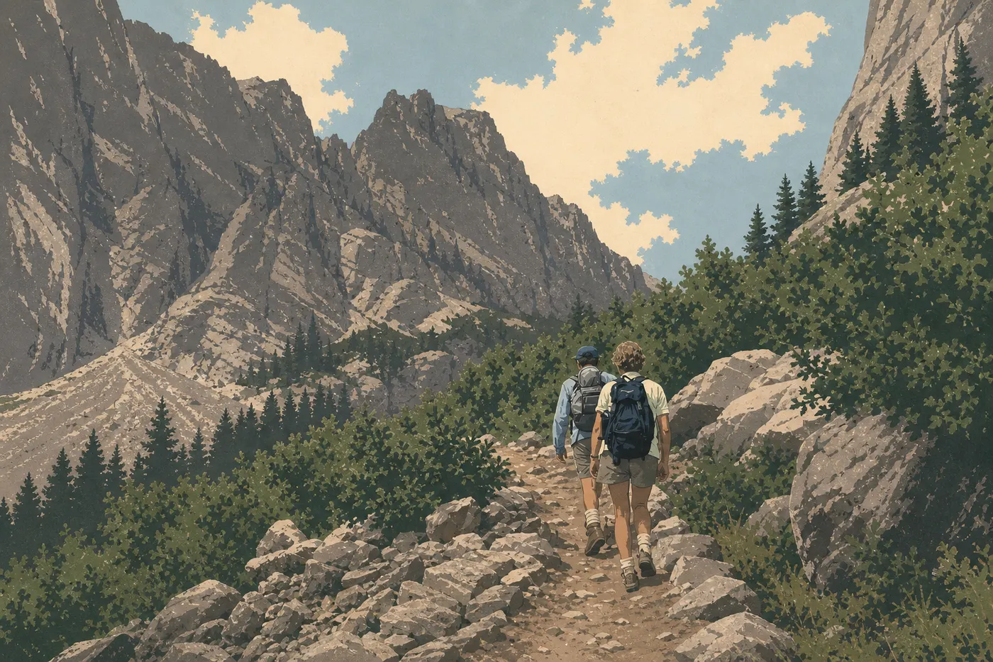
Grand Teton Hiking: The Best Trails for Every Skill Level
The Teton Range has no foothills. It rises sharply from the floor of Jackson Hole Valley, at about 6,600 feet, and the peaks climb as high as 13,775 feet at Grand Teton. This dramatic terrain has a direct consequence for hikers: the elevation gain starts immediately, and so do the views.
If you only do one hike, make it Hidden Falls and Inspiration Point from Jenny Lake: about 6.2 miles round-trip, or 1.9 miles if you take the boat shuttle both ways, with 660 feet of elevation gain, a waterfall, and views across the entire range. For an easier alternative, try the Taggart Lake and Bradley Lake Loop (6.2 miles, moderate elevation gain, frequent wildlife). For a challenging full-day option, follow Cascade Canyon to Fork Junction, where a glacial corridor opens between 2,000-foot walls.
Preparing for Your Grand Teton Hike
Permits and entrance fees. You don't need a permit for day hikes. The park entrance fee ($35 per vehicle) is enough. The America the Beautiful pass ($80 per year) pays for itself once you visit a second federal recreation site that year. Overnight backcountry trips require a wilderness permit, which you reserve through Recreation.gov. Popular routes such as Cascade Canyon and Paintbrush fill up quickly.
Dogs. Dogs aren't allowed on the park's trails. They are allowed in parking areas, campgrounds, and within 100 feet of paved roads. This is a firm NPS rule, not a recommendation.
Bears and wildlife. Grand Teton is home to grizzlies, black bears, elk, bison, and mountain lions. Always carry bear spray and keep it accessible on your belt, not buried in your pack. Regulations require a minimum distance of 300 feet from bears and wolves, and 75 feet from all other wildlife. Our Grand Teton wildlife guide explains how to respond to each species.
Thunderstorms and altitude. Afternoon thunderstorms are nearly daily in July and August. Start before 7 a.m. on challenging routes, and get off exposed ridges before 2 p.m. The valley is already at about 6,600 feet, and high-elevation trails rise above 9,800 feet. Bring extra layers even in summer.
Water. Filter or treat all water from springs and streams before drinking it. Plan on at least 0.5 liters per hour of exertion in exposed terrain.
Footwear. Waterproof shoes are recommended. Spring trails and the frequent stream crossings in Cascade Canyon can soak sneakers in minutes.
The Best Hikes, Area by Area
The park revolves around two main roads: Teton Park Road on the west side, providing access to Jenny Lake and the mountains, and US-89/191/26 on the east side, along the Snake River and near Mormon Row. The most spectacular trails all head west.
Jenny Lake Area
- Distance
- ~6.2 miles
- Elevation gain
- ~660 feet of elevation gain
- Duration
- 3 to 5 hours
- Difficulty
- Moderate
- Type
- Round-trip
From South Jenny Lake Trailhead, the trail follows the lake's eastern shore to the West Dock, climbs to Hidden Falls, a waterfall about 130 feet high, and continues to Inspiration Point at 7,136 feet. The view takes in Jenny Lake and the entire range. With the boat shuttle, which costs about $18 round-trip for adults, you skip 4.3 miles of flat trail and focus your effort on the climb. Trailhead: South Jenny Lake Trailhead. The parking lot fills by 7:30 a.m. in July and August. Arrive earlier, no exceptions.
- Distance
- ~12.4 miles round-trip without the shuttle, or ~7.5 miles with it
- Elevation gain
- ~985 feet of elevation gain
- Duration
- 6 to 8 hours
- Difficulty
- Moderate
- Type
- Round-trip to Fork Junction.
Beyond Inspiration Point, Cascade Canyon opens into a glacial corridor flanked by 2,000-foot walls. The trail follows a stream, crosses talus fields, and offers direct views of Grand Teton. Most hikers stop at Fork Junction, about 3.7 miles from the West Dock. That's already a full, rewarding day. I hiked this section in September with few other people around and the first fall colors appearing. It's one of the most striking canyons I've ever crossed in an American park. Bears are common, so bear spray is essential.
Taggart and Bradley Lakes Area
- Distance
- ~6.2 miles
- Elevation gain
- ~540 feet of elevation gain
- Duration
- 3 to 4 hours
- Difficulty
- Easy to moderate
- Type
- Loop
Two glacial lakes at the foot of the Tetons are connected by a trail that passes through areas burned in the 1985 fire. Regrowing vegetation creates an interesting contrast with the dense forest around it, and views of Nez Perce and Grand Teton remain open throughout the hike. Popular with families. Trailhead: Taggart Lake Trailhead, with free parking along Moose-Wilson Road.
Moose and Death Canyon Area
Phelps Lake + Death Canyon Overlook
~6.8 miles · ~490 feet of elevation gain, plus ~660 additional feet to the Overlook · 3 to 5 hours · Moderate
The route descends from Death Canyon Trailhead to Phelps Lake, a large, wild lake that sees far fewer visitors than Jenny Lake. A climb toward the Overlook then provides a bird's-eye view of the V-shaped canyon. If you continue into the canyon itself, the elevation gain increases quickly and the difficulty rises to strenuous for a full-day outing. Trailhead: Death Canyon Trailhead, reached via Moose-Wilson Road. Parking is limited, the road is partly unpaved, and RVs are not recommended.
Northern Area: Two Ocean Lake and Emma Matilda Lake
- Distance
- ~6.2 miles
- Elevation gain
- ~440 feet of elevation gain
- Duration
- 3 hours
- Difficulty
- Easy to moderate
- Type
- Loop
A quiet forest lake with very few visitors, ideal for watching birds and elk early in the morning. The atmosphere is completely different from the mountain areas: mixed forest, with no peak immediately filling the background. Trailhead: Two Ocean Lake Trailhead on US-89, north of Moran Junction.
- Distance
- ~9.9 miles
- Elevation gain
- ~985 feet of elevation gain
- Duration
- 5 to 6 hours
- Difficulty
- Moderate
- Type
- Loop
The full loop strings together views of Jackson Lake and the Tetons from wooded ridges. Grizzlies are regularly reported in this area, so don't hike here alone. Trailhead: the same parking lot as Two Ocean Lake, or Colter Bay Village.
Easy, Family-Friendly Hikes
Grand Teton isn't just for experienced hikers. Several trails work well for kids as young as 6 or 7, as long as you start early and adjust the distance to your group.
Taggart Lake (simple round-trip) · ~3.1 miles · ~330 feet of elevation gain · Easy · 1.5 to 2 hours. A shortened version of the Taggart Lake and Bradley Lake Loop, this route goes to the first lake and back, with direct views of the Tetons. It's a great way to introduce kids to the park.
String Lake Loop · ~4.3 miles · ~150 feet of elevation gain · Easy · 2 hours. A nearly flat trail around a clear-water lake, with a pebble beach for a swimming break. The water is cold, around 57 to 59°F in July. Views of Mount Moran. It works for young children as long as they can handle two hours of walking.
Menors Ferry Trail · ~0.9 miles · Flat · Very easy · 30 to 45 minutes. A historic trail along the Snake River around the old cable ferry. There's no climb, and you'll find historic features and frequent wildlife along the river, including beavers and waterfowl. Accessible to all-terrain strollers.
Our Grand Teton family guide covers all the kid-friendly activities in the park, including overlooks accessible by car.
Challenging Hikes and Big Views
These routes require good physical conditioning, appropriate gear, and an early start. Expect high elevation, exposed terrain, and afternoon thunderstorm risk.
Amphitheater Lake
~9.9 miles · ~2,985 feet of elevation gain · 7 to 9 hours · Difficult
A sustained climb from Lupine Meadows at 6,725 feet to the lake at 9,698 feet, with direct views of Grand Teton in the background. The final 1.2 miles cross a talus field. You must leave before 6:30 a.m. in July and August to avoid thunderstorms on the exposed plateau. Trailhead: Lupine Meadows Trailhead, where the parking lot also fills very quickly.
Paintbrush Canyon to Cascade Canyon Loop (great loop)
~19.3 miles · ~3,940 feet of elevation gain · 11 to 14 hours or 2 days · Difficult.
The park's classic traverse climbs through Paintbrush Canyon, crosses Paintbrush Divide at 10,718 feet, and descends through Cascade Canyon. Snow is possible on the pass into July. Some hikers do it in one very long day; others take two days with an overnight stay, which requires a wilderness permit. From the Divide, the view across both valleys and the lakes below is one of the broadest in the park.
Static Peak Divide
~13.7 miles round-trip · ~3,940 feet of elevation gain · 8 to 10 hours · Difficult.
From Death Canyon, the trail climbs to a pass at 10,800 feet, with 360-degree views of the Tetons, Yellowstone to the north, and the Snake River Valley to the east. Few people continue beyond the canyon. It's ideal if you're looking for solitude and high elevations without the crowds at Jenny Lake.
Access, Trailheads, and Parking
Parking is Grand Teton's main logistical challenge in peak season. Parking lots at the most popular sites fill before 8 a.m. in July, and often before 7 a.m. on weekends.
Jenny Lake: two parking lots, north and south. Arrive before 7:30 a.m. or after 5 p.m. If the lot is full, park at Signal Mountain or String Lake Trailhead, adding 10 to 15 minutes on foot, and walk to the trailhead.
Lupine Meadows Trailhead (Amphitheater Lake, Garnet Canyon): small parking lot that fills very quickly. Arrive before 6 a.m. for challenging routes.
Taggart and Bradley Lakes Trailhead: larger parking lot, generally available until 9 a.m.
Death Canyon Trailhead: access via Moose-Wilson Road, which is partly unpaved. RVs and trailers are not recommended. Parking is extremely limited, with about 20 spaces.
Park shuttle (GPNTC): a free shuttle connects the main sites from June through September, but it doesn't serve every trailhead. The paid boat shuttle on Jenny Lake, about $18 round-trip for adults, is a real time-saver for trails on the west side. It eliminates 4.3 miles of flat trail round-trip. The Getting Around Grand Teton and Getting to the Park guides have the schedules and all the shuttle routes.
When to Hike in Grand Teton
The best window runs from mid-June to mid-September. Before then, snow lingers on high-elevation trails and passes may be impassable. Afterward, access roads close and nights drop below freezing starting in October.
July and August offer the most access, but they're also the busiest months. Afternoon thunderstorms are nearly daily, so start early and be descending before 2 p.m. on exposed terrain. September brings fall colors, fewer crowds, and pleasant days, but nights turn chilly, falling below 41°F. The best times to visit Grand Teton guide covers conditions month by month, including snow forecasts by area.
Which Hike Should You Choose?
| Hiker profile | Recommended trail | Typical duration |
|---|---|---|
| Beginner or family | Taggart Lake (simple) · String Lake Loop | 1.5 to 3 hours |
| Intermediate | Hidden Falls + Inspiration Point | 3 to 5 hours |
| Challenging day hike | Cascade Canyon to Fork Junction | 6 to 8 hours |
| Wildlife enthusiast | Two Ocean Lake · Emma Matilda Lake | 3 to 6 hours |
| Experienced hiker | Amphitheater Lake | 7 to 9 hours |
| Multiple days or endurance | Paintbrush-Cascade Loop | 11 to 14 hours or 2 days |
| Solitude and big views | Static Peak Divide | 8 to 10 hours |
For activities beyond hiking and an overview of the park, see our complete Grand Teton guide.
Frequently Asked Questions
What's the most beautiful hike in Grand Teton?
The Hidden Falls and Inspiration Point hike is both accessible and spectacular: about 6.2 miles round-trip without the shuttle, less than 660 feet of elevation gain, and direct views across the range from 7,136 feet.
Is hiking in Grand Teton difficult?
Difficulty depends on the trail. Grand Teton offers easy routes such as Taggart Lake and String Lake for beginners, as well as demanding trails such as Amphitheater Lake and Paintbrush Divide that require good physical conditioning and experience at altitude.
Is it safe to hike in Grand Teton?
Yes, as long as you prepare carefully. Carry bear spray, start early to avoid afternoon thunderstorms, stay hydrated, and don't push beyond your abilities at altitude. The park's trails are well marked, but mountain conditions can change quickly.
Do I need a permit to day hike in Grand Teton?
No. The park entrance fee ($35 per vehicle) covers all day hikes. Only backcountry camping requires a specific wilderness permit, available through Recreation.gov.
Are there easy, family-friendly hikes in Grand Teton?
Yes. String Lake Loop (4.3 miles, nearly flat), the simple round-trip to Taggart Lake (3.1 miles), and Menors Ferry Trail (0.9 miles, flat) work well for kids. Our Family page lists all the options.
Can I hike with my dog in Grand Teton?
No. Dogs aren't allowed on the park's trails. They are allowed in parking areas, campgrounds, and within 100 feet of paved roads.
When is the best time to hike in Grand Teton?
The ideal window runs from mid-June to mid-September. July and August provide access to nearly all trails; September is quieter and brings beautiful fall colors. Our When to Go page details conditions month by month.
Are there loop hikes in Grand Teton?
Yes, several: String Lake Loop (4.3 miles), Taggart Lake and Bradley Lake Loop (6.2 miles), Two Ocean Lake Loop (6.2 miles), and the great Paintbrush-Cascade Loop (19.3 miles) for highly experienced hikers.
How do I get to the trailheads?
The main parking lots at Jenny Lake and Lupine Meadows fill before 8 a.m. in July and August. Arrive early or use alternative lots within walking distance. Our Getting Around page and Access and Transportation page explain the shuttle options.
Which trails are best for seeing wildlife?
The northern area, especially Two Ocean Lake and Emma Matilda Lake, is known for elk and grizzlies early in the morning. Taggart Lake and the areas around Cascade Canyon also offer frequent wildlife sightings. Always maintain the required 300-foot distance from bears.