
Pacific Coast Road Trip: Los Angeles to Olympic on Highway 1
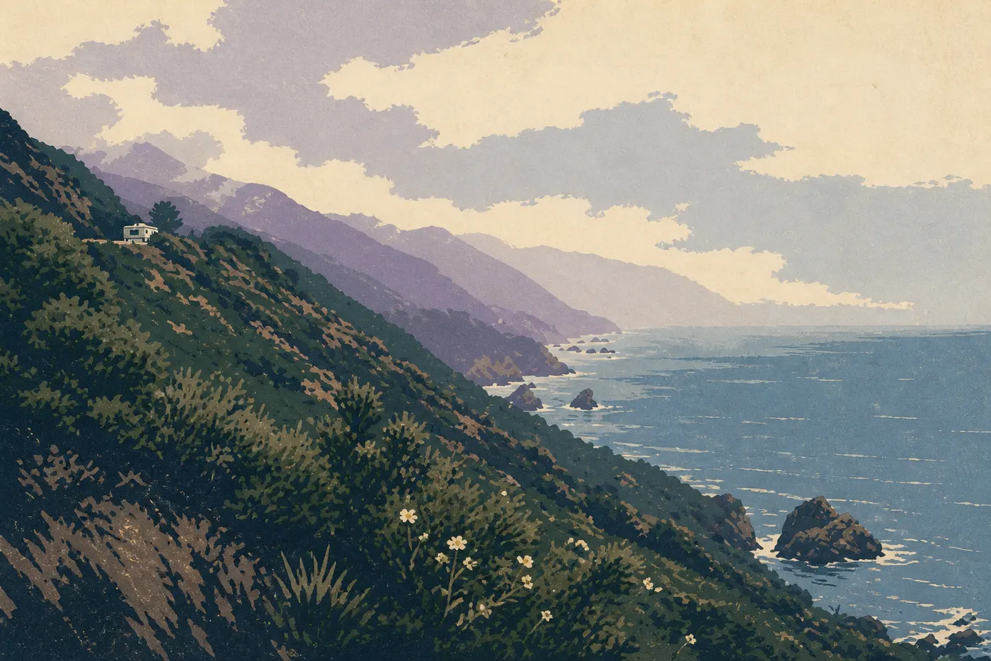
Six in the morning on a bridge in Big Sur. Marine fog rises from the canyon, clings to the cables of Bixby Creek Bridge, then suddenly tears open onto the blue Pacific. 125 miles farther south, a colony of elephant seals bellows on the sand at Piedras Blancas, sprawled a few yards from the railing. 620 miles north, Highway 101 disappears beneath 330-foot redwoods, and the light falls in columns. Farther on, a 5.6-mile-wide crater holds water so blue you'd think it had been retouched, in a silence nothing disturbs. And at the far end of the map, a forest takes in more than 10 feet of rain a year while wild beaches collect bleached driftwood: the Olympic Peninsula, the final act of the trip.
This road trip connects those five images. It starts in Los Angeles, follows the entire California coast on legendary Highway 1, crosses Oregon, takes a deliberate detour to Crater Lake's caldera, then returns to the shore and ends in Washington State, in the heart of the Olympic Peninsula. We drive with the ocean on our left for three weeks, the coast growing wilder as we head north, and the journey closes with a ferry gliding toward Seattle. This is the entire Pacific Coast, from one end to the other.
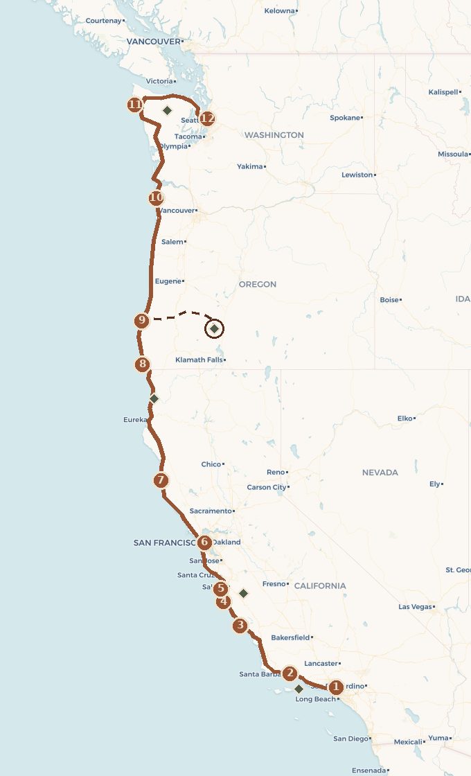 Base map © OpenStreetMap · © CARTO
 - 1. Los Angeles
- 2. Santa Barbara
- 3. San Simeon et Piedras Blancas
- 4. Big Sur
- 5. Monterey et Carmel
- 6. San Francisco
- 7. Côte de Mendocino
- 8. Samuel H. Boardman
- 9. Bandon
- 10. Cannon Beach et Astoria
- 11. Forks, la Hoh et les plages sauvages
- 12. Port Angeles, le ferry et Seattle
- ↳ detour to Crater Lake
1 stop national park on the route detour
Which direction should you drive, and how long will it take?
This is the first real debate on this route, and there's no neutral answer. Driving north to south puts the car on the ocean side. In the United States, we drive on the right, and heading south, the viewpoints fall into your lane without having to cross Highway 1. That's the purists' argument, and it's a good one.
We drive south to north anyway, and we stand by it. This route has a destination, the wild Northwest, and a story that builds toward it: Crater Lake's caldera as the inland high point, the Olympic Peninsula as the final act. Start beneath Los Angeles's palms, find something wilder at every stop, and finish in a rainforest. The drama is on this side. The ocean stays on our left the whole way, giving us the best view. Stops on the ocean side mean making a few left turns across the highway, but outside the cities, Highway 1 is never busy enough for that to be a problem.
As for timing, plan on three full weeks. In two weeks, you'll need to cut stops or end the trip after Crater Lake (see the alternatives). The coastal distance is about 1,550 miles, plus the drives inland and back. The beginner's mistake is to think in miles. Here, think in stops. Big Sur alone deserves a full day of slow driving.
Act I. Los Angeles to Big Sur
We pick up the car in Los Angeles, cross the city without lingering, and the Mediterranean California begins in Santa Barbara: red tile roofs, palms, and a white mission above the rooftops. It's a good first night for settling into the pace before the cliffs begin. From Ventura, just to the south, we take a boat to Channel Islands, the wild archipelago sometimes called California's Galápagos. You'll need to reserve the boat and set aside the day, but the isolation makes the effort worthwhile.
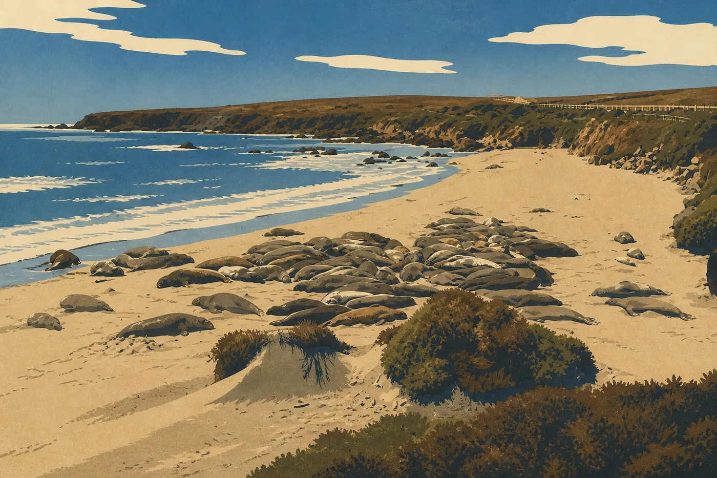
The road turns north again and the surf grows larger. Near San Simeon, the Piedras Blancas stop brings hundreds of elephant seals into view, including three-ton males, from a simple wooden boardwalk. The spectacle is free and ongoing, and so is the smell. A little farther on, Morro Bay sets its volcanic rock in a quiet bay, with otters in the channel, making it a good place for a seafood lunch.
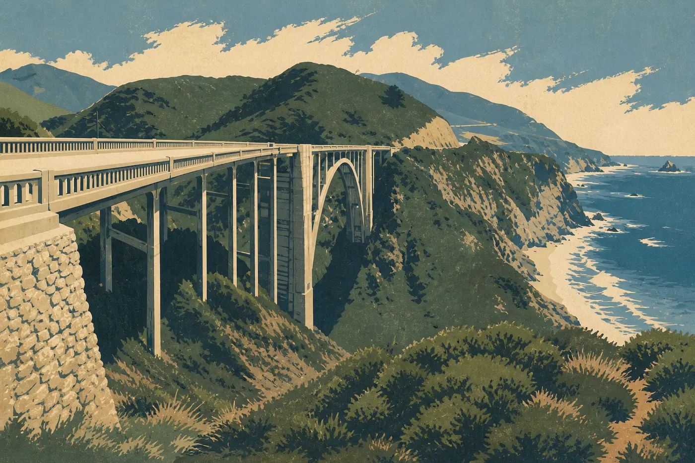
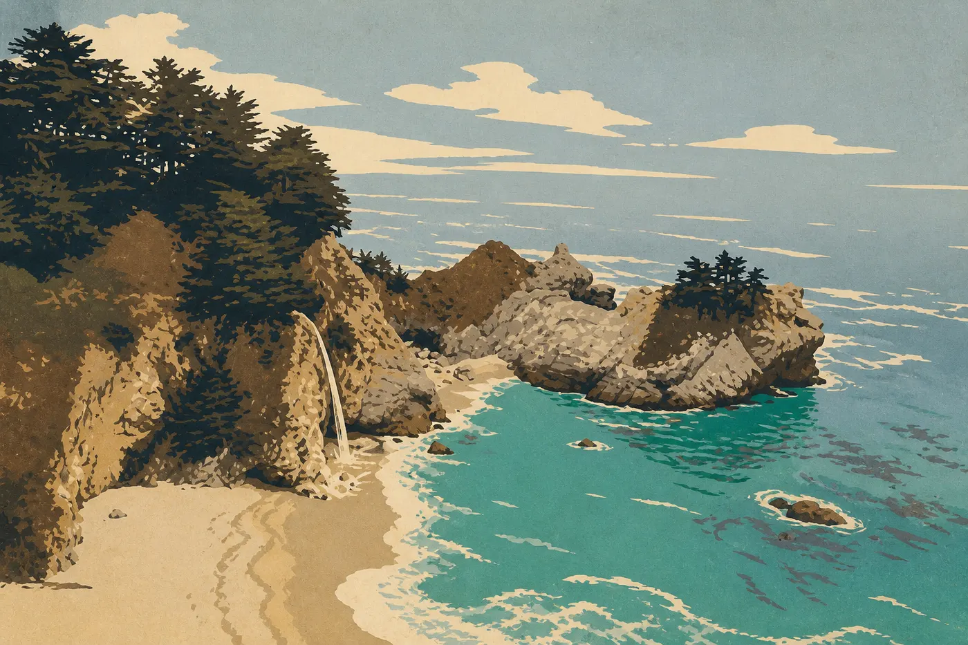
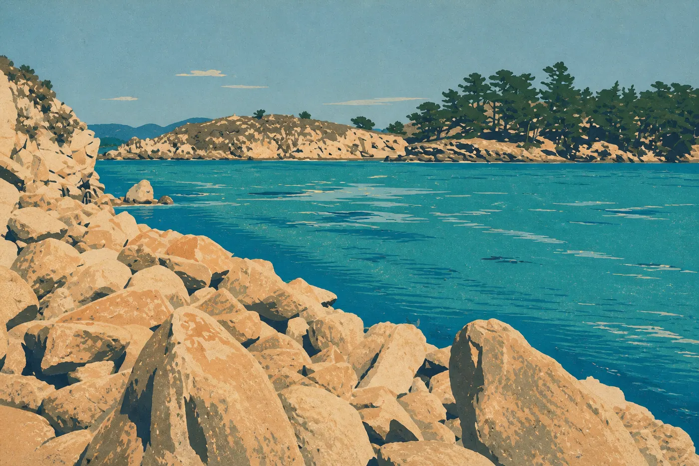
Then comes Big Sur, the stretch that made Highway 1 legendary. Bixby Creek Bridge, a concrete arch thrown across the void, is the postcard view. A few turns later, McWay Falls drops straight onto an inaccessible beach in an impossibly green cove. Drive slowly, stop often, and stay overnight if the budget allows. The stretch winds down gently in Carmel-by-the-Sea and Monterey, whose aquarium is among the finest in the country. Between them, 17-Mile Drive winds through twisted cypresses and villas, while Point Lobos lines up coves of turquoise water. Want to get away from the crowds? From Soledad, an hour inland leads to the rock formations of Pinnacles, a quiet stronghold for California condors.
Act II. San Francisco and the coast growing wild
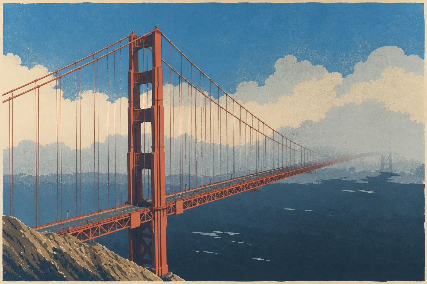
San Francisco deserves two nights, if only to watch the fog swallow the Golden Gate and give it back, orange against gray. Alcatraz, the steep streets, the neighborhoods along the bay: the city sets the tone for a cooler, windier California. We leave north, and everything shifts.
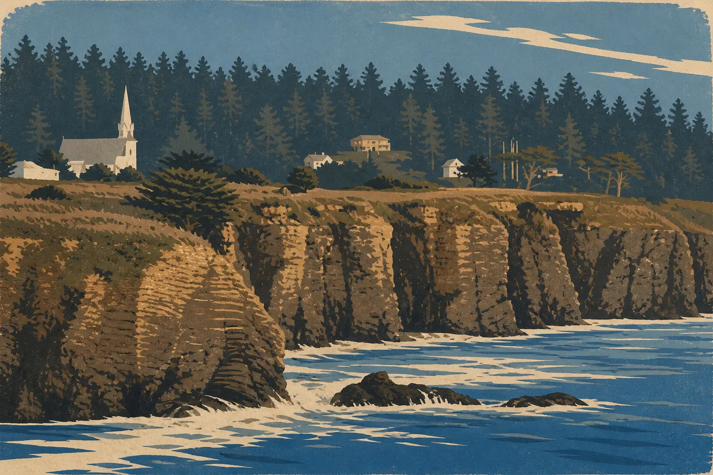
Beyond the bridge, the coast changes character. The beach resorts are gone. Highway 1 climbs the Mendocino cliffs, wind in your hair, without guardrails in places. Weathered wooden villages replace polished waterfronts, the viewpoints have to be earned, and we pass more herds than tourists. This is where the trip shifts from postcard scenery to the open ocean.
Act III. Beneath the Redwoods at Redwood
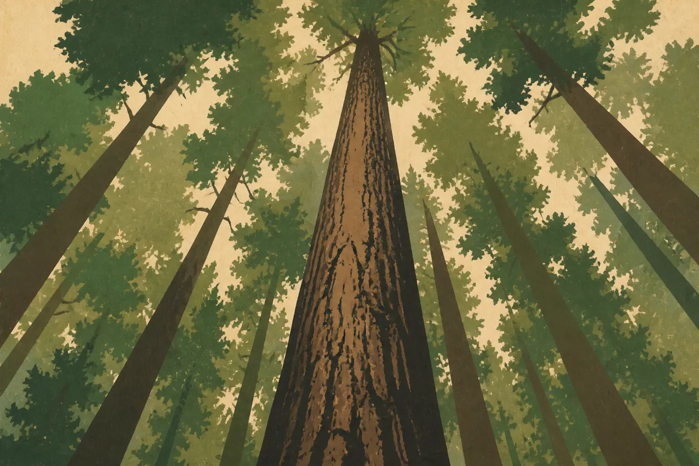
Farther north, Highway 101 takes over again and plunges into Redwood, home to the tallest trees in the world. We leave the main road for a while to drive the Avenue of the Giants, a loop threading between trunks more than 330 feet tall. Filtered light falls through the canopy, the air smells of damp resin, and the silence has a weight you don't forget. It's the perfect counterpoint to the cliffs: after the wind off the ocean, the nave of a forest.
Take time for a walk, even a short one. You don't grasp the size of these trees until you're standing at their feet, head tipped back, unable to see the tops.
Act IV. Oregon and the detour to Crater Lake
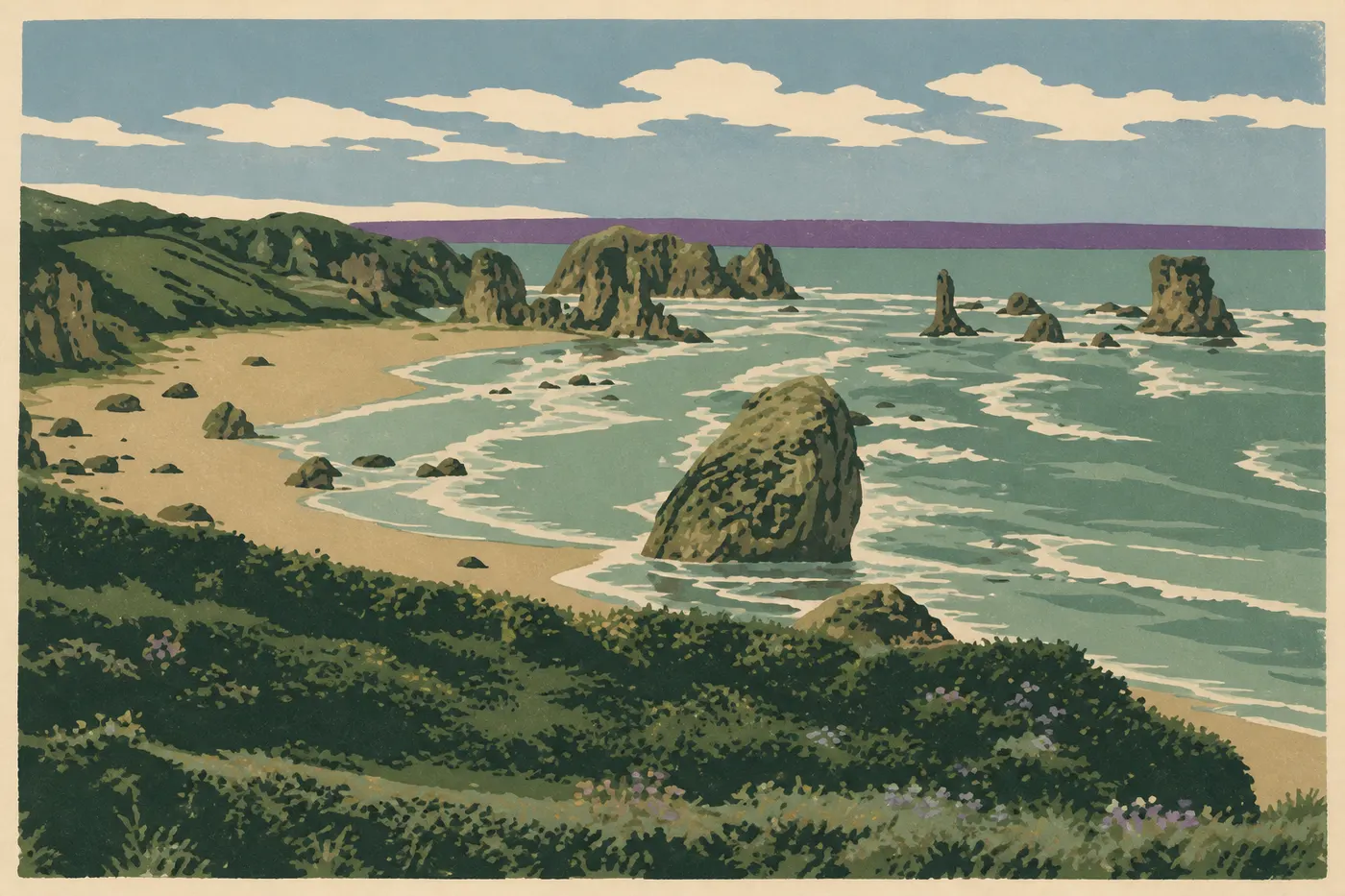
The Oregon border comes without a memorable sign, but the coast steps up its game. Samuel H. Boardman unfolds a dozen miles of viaducts, stone arches, and natural bridges above a sea scattered with black rocks. We stop at every viewpoint, climb back down to hidden coves, and set off again. A little farther on, Bandon lines up its sea stacks in front of Face Rock, those monoliths planted in the surf and set ablaze by the sunset. This is where the route takes its big turn.
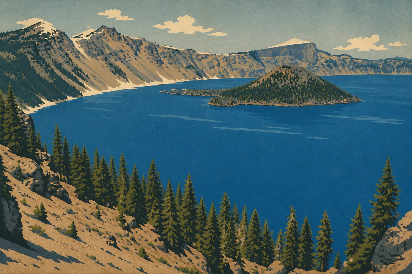
We turn our backs on the ocean. Two and a half hours inland, the road climbs through the forest, crosses a pass, and opens without warning onto the void: Crater Lake. 7,700 years ago, Mount Mazama collapsed in on itself and left a 5.6-mile caldera, which rain and snow filled to a depth of 1,949 feet, making it the deepest lake in the United States. No river flows in or out, which explains the improbable blue. Wizard Island, a volcanic cone set in the middle, completes the picture. We circle the lake on Rim Drive, fall quiet, and understand why we left the coast. It feels like the end of the trip, but it's only the inland high point. The next day, we descend toward the ocean, and the north takes over again.
Act V. Washington and the finale at Olympic
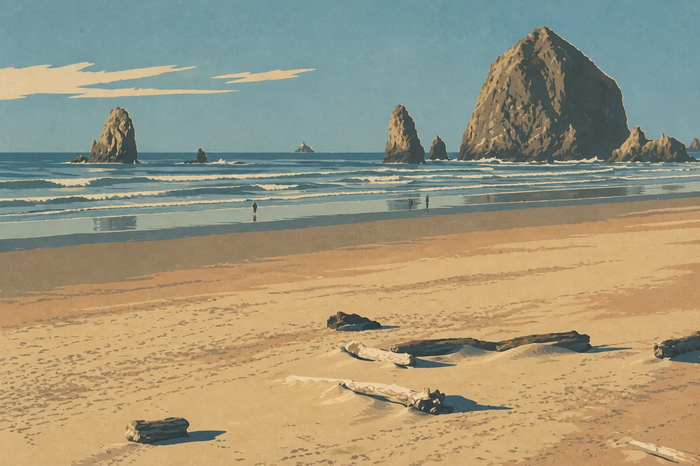
Back on 101, the Oregon coast saves its best for the final stretch north. Cannon Beach spreads miles of hard-packed sand around Haystack Rock, a 236-foot monolith in the surf. At low tide, we walk out to its pools of anemones and sea stars, and in the warmer months tufted puffins nest on its ledges. In Astoria, the Astoria-Megler Bridge spans the Columbia estuary for more than 3.7 miles. Washington State begins on the other side, and the scenery changes one last time.
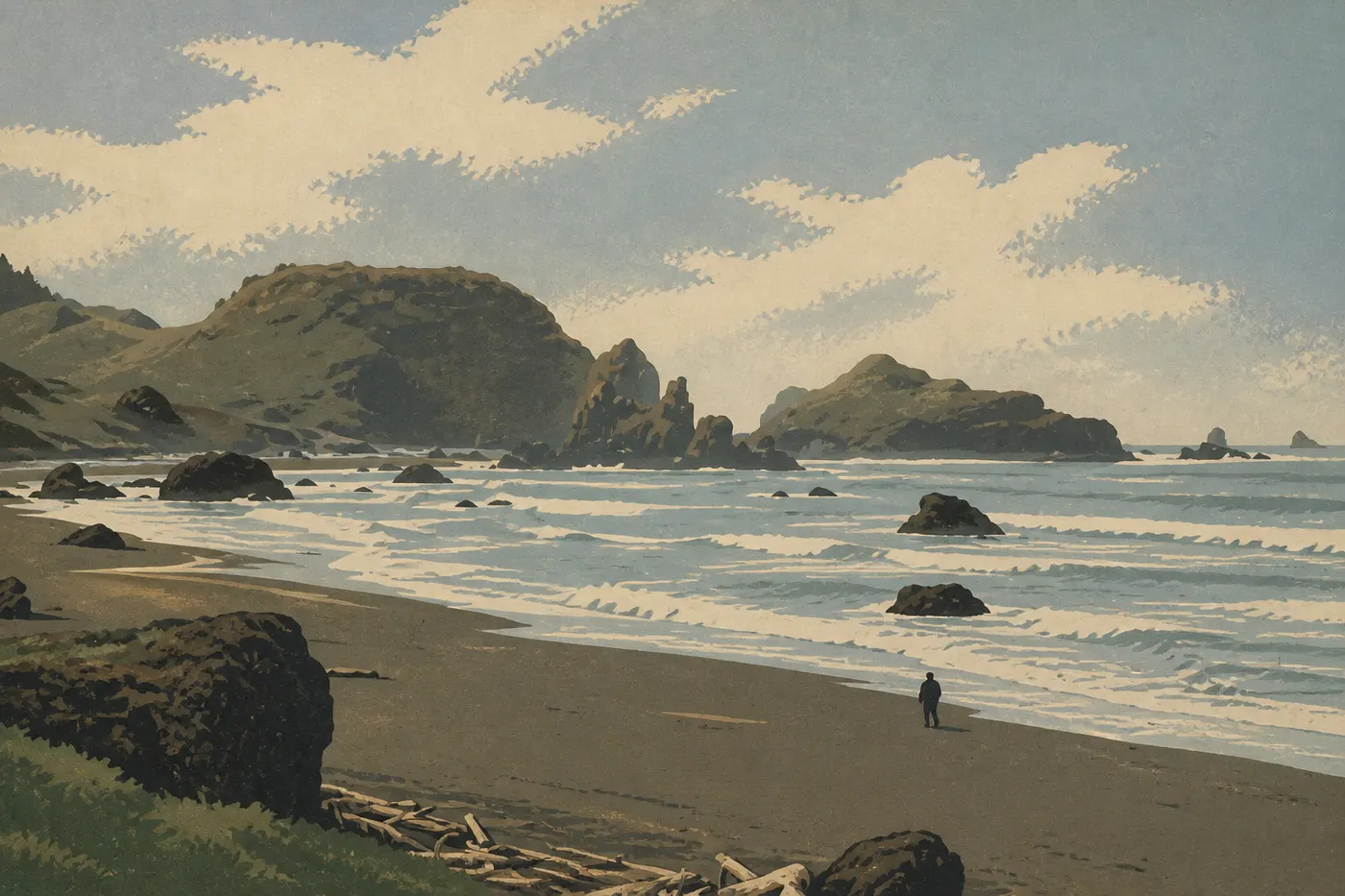
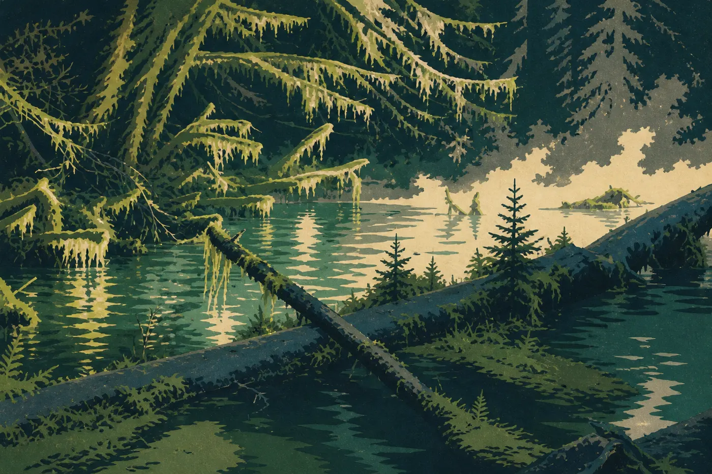
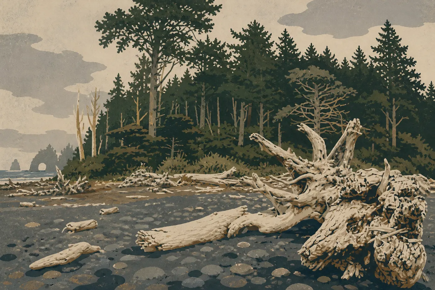
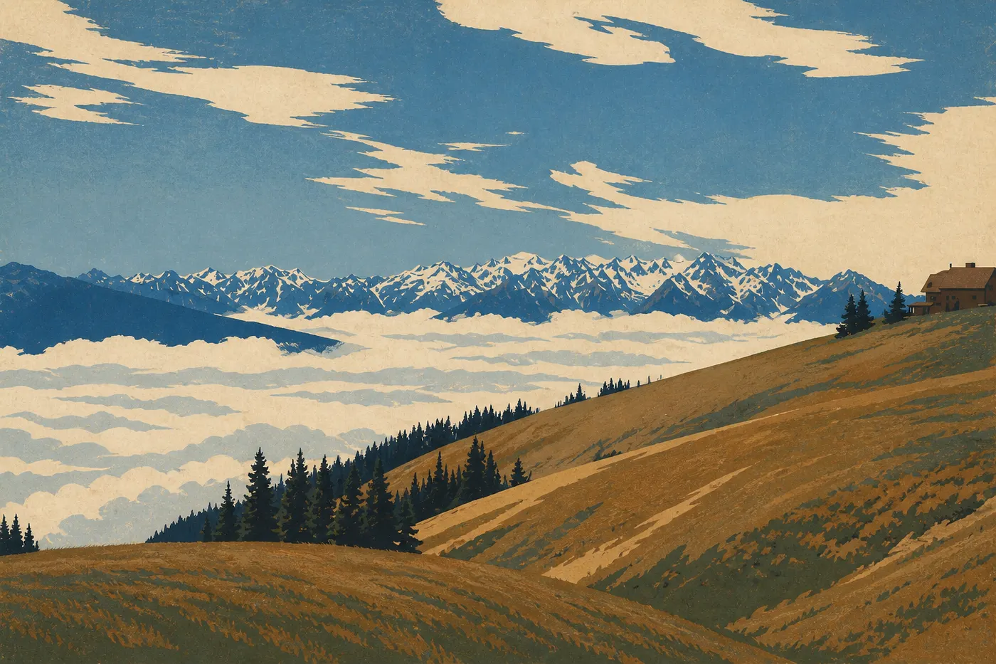
The Olympic Peninsula is a world unto itself, protected by Olympic, and we give it the last full days of the trip. In the Hoh Valley, the temperate rainforest gets more than 10 feet of rain a year. Spruce trees wear sleeves of moss, the light is green, and the Hall of Mosses Trail is best walked quietly. Along the coast, Ruby Beach and Rialto Beach collect the bleached logs carried in by the rivers, lying across the sand in front of the sea stacks. At Rialto, low tide opens the way to Hole-in-the-Wall, an arch cut through the cliff. For a higher view, Hurricane Ridge Road climbs above Port Angeles to a ridge looking toward Mount Olympus's glaciers on one side, the Strait of Juan de Fuca on the other, and Canada on clear days.
We save the drop for the very end. From the peninsula, we reach Seattle by ferry across Puget Sound, the car in the hold and the skyline growing across the water. Three weeks after leaving the palms of Los Angeles, we return the wheel at the foot of the Space Needle, feeling as if we've crossed several countries without ever leaving the same ocean.
When to go and what to budget
You can drive the coast almost year-round, but this route has one constraint that controls everything else: Crater Lake sleeps under several feet of snow for much of the year. To find both a clear Highway 1 and an open Rim Drive, aim for mid-July through mid-October. The shoulder season, in September and early October, brings warm light, thinner crowds, and a park that's still accessible. It's our favorite window. On the Olympic Peninsula, July through September is the driest stretch in a place that's never truly dry. The Hoh gets most of its rain from fall through spring, and Hurricane Ridge Road is cleared in summer.
Summer mornings often bring the famous coastal fog, which lifts around midday. In winter, Big Sur regularly closes after storms and landslides, Crater Lake is reduced to its southern half under the snow, and the Olympic Peninsula shifts into storm mode. The beautiful loop is no longer possible.
As for the budget, the biggest expense is still the car, rental plus gas over a long distance, along with the one-way fee between Los Angeles and Seattle. Lodging is expensive on this popular coastline, especially in Big Sur, San Francisco, and the park lodges. Booking early is the best way to save. Paid admissions, including the Monterey aquarium, the Channel Islands boat, national parks, and the Puget Sound ferry, remain modest by comparison. These are rough estimates. Build your exact budget from recent quotes, since West Coast prices change quickly.
The national parks on this road trip
Variations on the route
Short version, San Francisco to Los Angeles. Don't have three weeks? Highway 1 between San Francisco and Los Angeles takes a week, and it's already a major trip. On this stretch alone, drive north to south to keep the car on the ocean side. This is the classic San Francisco to Los Angeles road trip, with Big Sur as its centerpiece.
Two-week version, ending at Crater Lake. Keep all of California, the southern Oregon coast, and the detour to the caldera, then return the car in Medford instead of going all the way to Seattle. The story still works beautifully. Crater Lake makes a first-rate finale, while Olympic can wait for the next trip.
Inland detour, Lassen Volcanic. Between the San Francisco Bay Area and the north, a detour east leads to Lassen Volcanic, with its fumaroles and mud pots. It's a preview of the volcanic landscapes to come before Crater Lake.
Frequently asked questions
Which direction should you drive on Highway 1?
For Highway 1 alone, north to south keeps the car on the ocean side, with the viewpoints in your lane. For this larger route to Crater Lake and Olympic, we drive south to north so the trip builds toward its wild finale.
How long does it take to drive the entire Pacific Coast?
From Los Angeles to Seattle along the coast, allow three comfortable weeks: about 1,550 miles of coastline, the detour to Crater Lake, and two full days in Olympic. In two weeks, stop after Crater Lake and return the car in Medford.
How long does it take to drive between San Francisco and Los Angeles?
Six to seven hours straight along the freeway. But the point of this drive is not to rush it. On Highway 1, allow five to seven days to enjoy it, with Big Sur leading the way.
Is the detour to Crater Lake really worth it?
Yes, and it's a deliberate editorial choice. The coast is two and a half hours from the only caldera of its kind in the United States. The contrast between the ocean and this still mountain lake is the inland high point of the trip.
Can you take this road trip in winter?
Only in part. Big Sur often closes after storms, Crater Lake becomes inaccessible on its northern half, and the Olympic Peninsula shifts into storm conditions, spectacular but tough. For the full loop, midsummer through the shoulder season is the only real window.