
Best Hikes in Sequoia & Kings Canyon: Trails for Every Skill Level
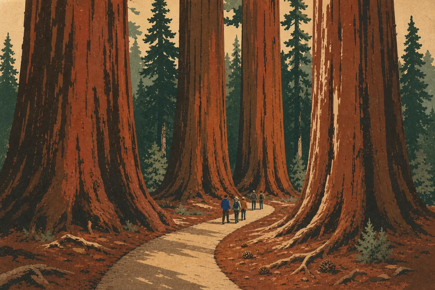
Here's the short answer. If you only do one hike, make it the Congress Trail in Giant Forest (2 miles, easy loop, and guaranteed giant sequoias). For a full day in Sequoia, add the climb to Moro Rock and Tokopah Falls from Lodgepole. And if you make it as far as Kings Canyon, Mist Falls is the clear choice.
Together, the two adjoining parks cover a striking range of elevations, from the hot foothills at 1,300 feet to the giant sequoia forests around 6,600 feet and glacial passes above 11,500 feet. That variety gives you everything from a 45-minute stroll to a several-day trek. Trailheads are concentrated in four areas: Giant Forest and Lodgepole in Sequoia, and Grant Grove and Cedar Grove in Kings Canyon.
How to Prepare for a Hike in Sequoia & Kings Canyon
Permits and Reservations
Day hikes don't require a permit in either park. You only need a wilderness permit for overnight trips in the backcountry. You can reserve one in advance, or enter a lottery for the most sought-after summer dates. If you're planning a backcountry trip from July through September, apply for your permit between March and May.
Safety: Elevation, Bears, and Water
Elevation is the first risk to plan for. Trailheads in Giant Forest already sit at 6,600 feet, and high-elevation lakes rise above 9,200 feet. Gain elevation gradually, drink more water than usual, and turn around without hesitation if you develop a headache.
Black bears live throughout the park. Don't leave any food visible in your car, not even an empty wrapper. A bear can tear open a car door to get at the smell. On the trail, keep food and trash in your pack, and keep your pack in sight whenever you stop. In exposed rocky areas during the summer, watch for rattlesnakes, which are most active during the hottest part of the day.
You must filter or treat water from streams and lakes before drinking it, even at high elevation. Bring a filter or purification tablets.
Dogs on the Trails
Dogs aren't allowed on the trails in Sequoia & Kings Canyon. They are allowed in campgrounds and on paved roads. For family-friendly alternatives where pets are welcome, see our family guide to Sequoia & Kings Canyon.
Weather and Gear
Even in July, afternoon thunderstorms can move in quickly at high elevation. Set out before 8 a.m., pack a lightweight rain jacket, and head back down before noon if clouds start building. Outside the July-through-September season, high-elevation trails remain snow-covered. Check road and trail conditions on the NPS website before you go.
The Best Hikes, Area by Area
Giant Forest: Giant Sequoias Up Close
Giant Forest is the heart of Sequoia National Park and its busiest hiking area. Four trails here cover every type of hiker.
Congress Trail (2 miles · loop · minimal elevation gain · 1.5 hours · easy)
The loop starts at the General Sherman Tree, the world's largest tree by volume, with about 53,000 cubic feet of wood. It winds through the park's densest stand of giant sequoias. There isn't much of a view, but the quiet forest and the sheer size of the trees make a powerful impression that's hard to describe. The loop passes several named groups, including the "Senate" and the "House," with trees more than 200 feet tall. Start at the Wolverton parking lot or take the shuttle to the General Sherman Tree stop. Hiking shoes are all you need.
Big Trees Trail (1.2 miles · loop · flat · 45 minutes · very easy)
This paved, fully accessible trail follows Round Meadow, an open grassland ringed by sequoias. It's ideal for families with young children and visitors with limited mobility. Start at Giant Forest Museum.
Moro Rock (0.5 miles · 300 feet of elevation gain · 30 to 40 minutes · moderate)
Moro Rock is a granite dome rising from the forest at 6,700 feet. The route climbs a stone staircase carved into the rock. It's short but strenuous, with a few exposed sections. From the top, the view stretches to the Great Western Divide and, on a clear day, to peaks above 13,000 feet. Start at the Moro Rock parking lot on Moro Rock/Crescent Meadow Road, a seasonal road that's generally open from May through November. Arrive early. The lot fills by 9 a.m. during peak season.
Crescent Meadow Loop (2 miles · loop · flat · 1 hour · easy)
At the end of the same seasonal road, this trail circles a large meadow edged by sequoias and follows Log Meadow, home to Tharp's Log. The fallen sequoia was turned into a shelter in the 19th century. It's a pleasant spot at dusk for watching deer. Start at the Crescent Meadow parking lot, at the end of the seasonal road.
Lodgepole and the Lakes: Waterfalls and High-Country Meadows
At 6,600 feet, Lodgepole is Sequoia's second main activity hub. It provides access to both an easy-to-reach waterfall and a network of high-mountain lakes.
Tokopah Falls (4.2 miles round-trip · 550 feet of elevation gain · 2 to 2.5 hours · easy to moderate)
From the Lodgepole Campground, the trail follows the Marble Fork of the Kaweah River through a narrow glacial valley hemmed in by granite cliffs. It eventually opens into an amphitheater where Tokopah Falls pours over a tall rock face. In May or early June, expect patches of snow near the end. Start at the bridge north of Lodgepole Campground.
Lakes Trail (to Heather Lake) (about 9.3 miles round-trip · 2,500 feet of elevation gain · 5 to 6 hours · moderate to strenuous)
This trail starts at Wolverton and climbs past four high-elevation lakes in succession: Heather Lake, the favorite day-hike destination, followed by Aster, Emerald, and Pear Lake for hikers who want more. The terrain varies from dense forest to bare granite and high-country meadows, with reflections shimmering on lakes tucked into the rock. The section between Heather and Pear Lake often remains snow-covered through July. Start at the Wolverton parking lot, about 2 miles north of Lodgepole.
Grant Grove: Another Kingdom of Giants (Kings Canyon)
General Grant Tree Trail (1 mile · loop · flat · 45 minutes · very easy)
Grant Grove is the gateway area to Kings Canyon National Park, about 19 miles from Giant Forest via Generals Highway. The General Grant Tree, the world's second-largest tree by volume, stands at the center of a short, well-maintained loop. You can continue on the Panoramic Point Trail, a 2-mile round-trip hike from Grant Grove Village, for an open view of the Sierra Nevada. Start at the General Grant Tree parking lot in Grant Grove Village.
Cedar Grove: Deep in Kings Canyon (Kings Canyon)
At 4,600 feet, Cedar Grove lies at the end of Highway 180 and is one of the wildest areas in both parks. The canyon walls rise nearly 5,000 feet above the river, and the trails that start here rank among the most impressive in the Sierra Nevada.
Zumwalt Meadow Trail (1.7 miles · loop · flat · 1 hour · easy)
A quiet loop follows the Kings River between sheer cliffs and a wet meadow. It's perfect for families or for unwinding after the long drive from Fresno. Wildlife, including deer, Steller's jays, and even river otters, is especially active early in the morning. Start at the Zumwalt Meadow parking lot on Cedar Grove Road, about 3 miles east of the village.
Mist Falls (7.5 miles round-trip · about 600 feet of elevation gain · 4 to 5 hours · moderate)
Mist Falls is the area's signature hike. From Roads End, the terminus of Highway 180, the trail follows the Kings River past glacier-polished granite boulders, enters an increasingly narrow canyon, and reaches a broad, powerful waterfall plunging into a pool of turquoise water. In May and June, snowmelt makes the flow especially impressive. Beyond Mist Falls, the trail continues into Paradise Valley for hikers with a wilderness permit. Start at the Roads End parking lot, which is included with park admission. Arrive before 9 a.m. during peak season to find a spot.
Easy, Family-Friendly Hikes
Four trails stand out for families with children and beginning hikers:
- Big Trees Trail (Giant Forest): flat, paved, 1.2 miles, stroller-accessible.
- Crescent Meadow Loop (Giant Forest): shady, 2 miles, gentle natural surface.
- General Grant Tree Trail (Grant Grove): 1 mile, loop, very little elevation gain.
- Zumwalt Meadow Trail (Cedar Grove): 1.7 miles, flat, along the river, with wildlife viewing.
For more practical information about family-friendly lodging and rules for children in the parks, see our Family page.
Strenuous Hikes: Elevation Gain and Big Views
If you want to work up a sweat and take in the best viewpoints:
- Alta Peak (about 15.5 miles round-trip · about 4,600 feet of elevation gain · full day · difficult): From Wolverton, the climb to the 11,200-foot summit offers the park's most open view of the High Sierras. It's for experienced, acclimated hikers only. Check snow conditions before setting out. The trail often remains closed until July.
- Don Cecil Trail to Lookout Peak (Kings Canyon, about 7.5 miles round-trip · about 3,000 feet of elevation gain · 5 hours · strenuous): A steep climb from Cedar Grove Village leads to a 7,200-foot viewpoint overlooking all of Kings Canyon.
- Mist Falls and Paradise Valley (a 15-mile round-trip extension, or an overnight backcountry trip): This is the natural continuation of Mist Falls for self-sufficient hikers with a wilderness permit.
To combine these trails over several days, see the sample Sequoia & Kings Canyon itineraries. You'll find the park's other activities in the guide to things to do in Sequoia & Kings Canyon.
Access, Trailheads, and Parking
You can reach the two parks by two main roads. Highway 198 from Visalia enters Sequoia through Three Rivers and serves Giant Forest and Lodgepole. Highway 180 from Fresno reaches Kings Canyon through Grant Grove and then Cedar Grove. The road is closed beyond Grant Grove in winter.
Main parking areas:
- Wolverton (Giant Forest, Lakes Trail): large, free lot with plenty of space outside July and August.
- General Sherman Tree trailhead: the lot fills by 9 a.m. during peak season. Take the shuttle from Lodgepole or Wolverton instead.
- Moro Rock / Crescent Meadow: seasonal road, open May through November, with limited parking.
- Roads End, Cedar Grove (Mist Falls): arriving early is essential in summer.
- Grant Grove Village: general parking for Grant Grove and Panoramic Point.
Summer shuttles in Sequoia: In July and August, free shuttles connect Lodgepole, Wuksachi Lodge, Giant Forest Museum, Moro Rock, and the General Sherman Tree trailhead. It's the best way to avoid parking hassles in Giant Forest. Shuttle schedules and stops are detailed in the guide to getting to Sequoia & Kings Canyon.
Admission fees: $35 per vehicle, valid for 7 days in both parks; $20 per person arriving on foot or by bicycle; and $30 per motorcycle. The park's annual pass costs $70.
For a geolocated map of the trailheads, see the Sequoia & Kings Canyon trail map.
When to Hike in Sequoia & Kings Canyon
In short, choose July through September for high-elevation trails, lakes, Alta Peak, and the summits. Choose May and June or October for the sequoia forests and Cedar Grove, when crowds are smaller and temperatures are milder. In winter, the foothills at 1,300 to 2,600 feet and Grant Grove open up for snowshoeing.
Before you plan, note that the seasonal roads in Giant Forest close in winter and Cedar Grove Road is accessible only in summer. For month-by-month details on temperatures, snowfall, and road closures, see the guide to the best times to visit Sequoia & Kings Canyon and our Weather page.
Which Hike Is Right for You?
| Hiker profile | Our pick |
|---|---|
| First visit, 2 hours | Congress Trail (Giant Forest) |
| Family with young children | Big Trees Trail + Crescent Meadow |
| Waterfall fan | Tokopah Falls (Sequoia) or Mist Falls (Kings Canyon) |
| High-elevation lakes | Lakes Trail from Wolverton |
| Quick big viewpoint | Moro Rock (Giant Forest, 40 minutes) |
| Full-day big viewpoint | Alta Peak or Don Cecil / Lookout Peak |
| Wildlife viewing | Zumwalt Meadow at dawn |
| Overnight backpacking | Mist Falls and Paradise Valley (wilderness permit required) |
To combine several trails into a coherent trip, our complete guide to Sequoia & Kings Canyon and our Itineraries & Trip Length page offer sample plans for 2, 3, or 4 days.
Frequently Asked Questions
What's the best hike in Sequoia & Kings Canyon?
For a first visit, the best hike is Congress Trail in Giant Forest. It's a 2-mile easy loop around the General Sherman Tree, suitable for every skill level and home to the park's highest concentration of giant sequoias.
Is hiking in Sequoia & Kings Canyon difficult?
Difficulty varies widely by trail. Congress Trail, Big Trees Trail, and the Zumwalt Meadow loop are flat and easy. Trails to the high-elevation lakes, such as Lakes Trail, and to summits, such as Alta Peak, are demanding and require fitness, appropriate gear, and time to acclimate.
Is it safe to hike in Sequoia & Kings Canyon?
Yes, as long as you follow a few simple rules. Start early to avoid afternoon thunderstorms, never leave food in your vehicle because black bears are active throughout the park, treat water before drinking it, and acclimate gradually if you're coming from sea level.
Do you need a permit to hike in Sequoia & Kings Canyon?
You don't need a permit for day hikes. A wilderness permit is required for overnight trips in the backcountry. Reserve one in advance or enter the lottery for the most sought-after dates from July through September.
Can you hike with your dog in Sequoia & Kings Canyon?
No. Dogs aren't allowed on the trails in either park. They are allowed in campgrounds and on paved roads.
Are there easy, family-friendly hikes in Sequoia & Kings Canyon?
Yes. Big Trees Trail (1.2 miles, paved, and flat) and General Grant Tree Trail (1 mile, loop) are excellent choices with children. The Zumwalt Meadow loop in Cedar Grove (1.7 miles along the river) also works well for younger kids.
When is the best time to hike in Sequoia & Kings Canyon?
The best time to hike in Sequoia & Kings Canyon is July through September for high-elevation trails, and May through June or October for the forests and the canyon floor. For month-by-month conditions, see our When to Visit page.
Are there loop hikes in Sequoia & Kings Canyon?
Yes. Several trails are loops, including Congress Trail (2 miles), Big Trees Trail (1.2 miles), Crescent Meadow Loop (2 miles), General Grant Tree Trail (1 mile), and Zumwalt Meadow Trail (1.7 miles). The major trails to the lakes, waterfalls, and summits are out-and-back hikes.
How do you get to the trailheads?
In summer, free shuttles serve the main Giant Forest trailheads from Lodgepole and Wolverton. You can reach Cedar Grove and Grant Grove only by car. See our Access & Transportation page for current schedules and stops.
Which trails are best for wildlife, waterfalls, or views?
For waterfalls, Tokopah Falls in Sequoia and Mist Falls in Kings Canyon are the two standouts. For wildlife, Zumwalt Meadow, where you may see otters and deer in the morning, and Crescent Meadow, where deer are often visible at dusk, offer the best chances. For views, choose Moro Rock for a quick overlook, or Alta Peak or Don Cecil/Lookout Peak for a full view of Kings Canyon.