
Getting Around Sequoia & Kings Canyon: Access, Entrances, Shuttles, and Parking
Sequoia and Kings Canyon are two parks managed together, covered by a single America the Beautiful pass, yet reached through two separate entrances on different roads. The short answer is that you'll get around mainly by car. The free shuttle only runs in summer in the Giant Forest area. Plan your logistics before you arrive, because once you're in the Sierra Nevada, backup options are limited.
How to Get to Sequoia & Kings Canyon
You can reach Sequoia & Kings Canyon mainly via Highway 198 from Visalia (Ash Mountain Entrance on the Sequoia side) or Highway 180 from Fresno (Big Stump Entrance on the Kings Canyon side). Distances, nearby airports, and transportation options are covered in the guide to getting to Sequoia & Kings Canyon.
Park Entrances and Which One to Choose
Ash Mountain Entrance (Highway 198) leads to Sequoia's Giant Forest area, while Big Stump Entrance (Highway 180) opens onto Kings Canyon's Grant Grove. Mineral King Road, a narrow, winding 25-mile road, is seasonal and not recommended for vehicles longer than 22 feet. The entrance fee is $35 per vehicle in 2025. For annual passes and current fee details, see our Fees & Passes page.
Getting Around the Park
By Car
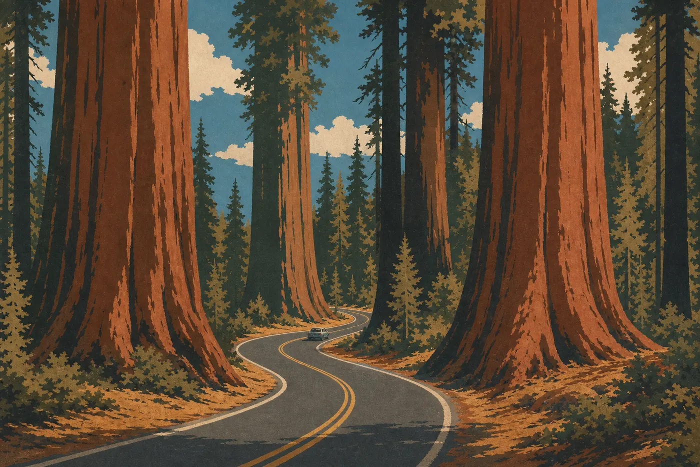
The car remains the main way to get around Sequoia & Kings Canyon. Generals Highway, formerly Highway 198 within the park, forms Sequoia's backbone. It connects Ash Mountain Entrance to Giant Forest, then continues north to Grant Grove in Kings Canyon, making the drive between the two main areas about 43 miles.
Keep a few things in mind. The road is narrow, winding, and has steep drop-offs along some sections. The speed limit is generally 35 mph, and sometimes lower. You won't be driving fast here, so stay alert. GPS apps often suggest shortcuts on unpaved roads, so ignore them every time.
The Kings Canyon Scenic Byway (Highway 180) continues toward Cedar Grove, at the bottom of the canyon, for another 30 miles from Grant Grove. It's closed in winter.
By Shuttle
In summer, generally from mid-June to early September depending on snow conditions, a free shuttle network serves the main sites in the Giant Forest area: Giant Forest Museum, Moro Rock/Crescent Meadow, General Sherman Trailhead, and Lodgepole. It's the easiest way to visit this area without competing for a parking spot.
The Sequoia Shuttle is a separate, paid service, costing about $15 round-trip, that connects Visalia and Three Rivers with Lodgepole. It's useful if you want to avoid driving up from the valley on a busy morning.
Outside the summer season, the shuttles don't run. You'll need a car again.
By Bicycle
Road biking is technically possible, but Generals Highway is narrow, busy, and includes steep climbs above 6,600 feet in elevation. We don't recommend it as your main way of getting around the park. If you'd like to ride, ask at the visitor center which sections are safe to cycle.
Where to Park: Parking Lots, Availability, and Parking Tags
Parking is one of the main pressure points in Sequoia & Kings Canyon during peak season. Parking lots are free but limited, and the most popular ones fill up before 9 a.m.
Giant Forest Museum: The area's main parking lot, with plenty of space. Arrive before 8:30 a.m. in July and August if you want a spot without waiting.
Moro Rock / Crescent Meadow: A smaller lot that fills as soon as the area opens. Take the free shuttle from Giant Forest Museum instead.
General Sherman Tree: Two parking lots, north and south, served by the shuttle in summer. Outside shuttle hours, you can park directly at the site, but once again, arrive early.
Grant Grove (Kings Canyon): Less busy than Giant Forest, with significantly easier parking even during peak season.
Sequoia & Kings Canyon currently has no parking reservations, unlike Yosemite. For strategies to manage seasonal crowds, our guide to when to visit Sequoia & Kings Canyon explains which periods to avoid.
Distances and Drive Times Between Areas
Sequoia & Kings Canyon covers a considerable area, and the distances between sections translate into real travel time on mountain roads.
| Route | Distance | Estimated time |
|---|---|---|
| Ash Mountain → Giant Forest Museum | 17 miles | 45 min |
| Giant Forest Museum → Grant Grove (Kings Canyon) | 27 miles | 1 hour |
| Grant Grove → Cedar Grove | 30 miles | 1 hr 10 min |
| Ash Mountain → Mineral King | 25 miles | 1.5 hours |
These times apply outside of traffic. In July and August, allow an additional 15 to 30 minutes near the main parking lots. To plan a multiday itinerary, our Itinerary & Length page can help.
Special Cases: RVs, Vans, Accessibility, and Pets
RVs and camper vans: Generals Highway has a challenging section between Potwisha Campground and Giant Forest Museum, with tight turns that aren't recommended for vehicles longer than 22 feet. If your vehicle is longer, use Big Stump Entrance via Highway 180 to reach Kings Canyon, where the road is less restrictive. Mineral King Road is inaccessible to all long vehicles. Our RV guide to Sequoia & Kings Canyon covers accessible campgrounds and vehicle-size restrictions in detail.
Accessibility: General Sherman Tree is accessible to visitors with mobility impairments via the summer shuttle and an accessible trail from the north parking lot. Big Trees Trail, a loop around the giant sequoias near Giant Forest Museum, is also wheelchair accessible. Check current conditions with the visitor center, since they can change with the season.
Pets: Dogs are allowed in the park on a leash no longer than 6 feet. They're not allowed on unpaved trails, inside buildings, or in wilderness areas. In practice, that rules out most hikes. Provide shade and water if you leave them at a campground or in a vehicle.
Practical Transportation Info: Fuel, Cell Service, and Apps
Fuel: There are no gas stations inside Sequoia & Kings Canyon. Fill up before entering. On the Highway 198 side, the last gas station is in Three Rivers. On the Highway 180 side, refuel in Fresno or Clovis before heading into the mountains.
Cell service: It's nearly nonexistent across most of both parks. You may get a few bars near some visitor centers and around Wuksachi Lodge, but you can't rely on it for navigation. Download offline maps in Apple Maps, Google Maps, or the NPS app before leaving the coverage area.
NPS app: It includes offline maps, shuttle schedules, and road-closure alerts. Install it before you leave.
Tire chains: From November through April, and sometimes earlier or later depending on snow conditions, chains may be required on Generals Highway at any time. Keep a set in your trunk if you're visiting outside the summer season.
Frequently Asked Questions
How do you get around Sequoia & Kings Canyon?
You mainly get around by car on Generals Highway and Highway 180. In summer, free shuttles serve the main sites in the Giant Forest area, including Giant Forest Museum, Moro Rock, and General Sherman Tree, so you can avoid parking problems in this area.
Can you visit Sequoia & Kings Canyon by car?
Yes, a car is the main way to get around these parks. Generals Highway connects the two parks over about 43 miles. Some sections are narrow and winding, but any standard vehicle shorter than 22 feet can navigate them.
Where can you park in Sequoia & Kings Canyon?
The main parking lots are at Giant Forest Museum, Moro Rock/Crescent Meadow, and General Sherman Tree in Sequoia, and at Grant Grove Village in Kings Canyon. In July and August, the most popular lots fill up before 9 a.m. Arrive early or take the free summer shuttles from Giant Forest Museum.
Which entrance is best for Sequoia & Kings Canyon?
To visit Sequoia, including Giant Forest and General Sherman Tree, Ash Mountain Entrance via Highway 198 from Visalia is the most direct. For Kings Canyon, including Grant Grove and Cedar Grove, Big Stump Entrance via Highway 180 from Fresno is preferable. If you only have one day and want to see both areas, enter through Ash Mountain and head north on Generals Highway.
Is there cell service in Sequoia & Kings Canyon?
Cell service is very limited in both parks. You may find signal near visitor centers and Wuksachi Lodge, but you can't count on it for navigation. Download your offline maps and the NPS app before entering the park.