
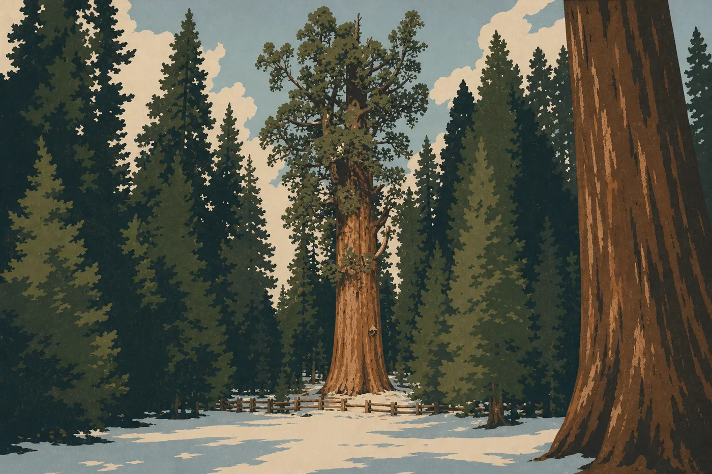
Sequoia & Kings Canyon Weather: Forecasts, Climate, and Current Conditions
Sequoia & Kings Canyon spans one of the Sierra Nevada's most extreme elevation gradients: less than 1,600 feet in the foothills and more than 14,400 feet at the summit of Mount Whitney. That elevation change makes all the difference. While the foothills bake in 100°F heat in July, the giant sequoias enjoy pleasantly cool temperatures, and the high-mountain passes stay snow-covered through June and sometimes July. The golden rule is to always pack two more layers than you would wear at lower elevations.
Current readings are unavailable. See the seasonal averages farther down this page.
Open-Meteo readings · updating… · park time zone
Sequoia & Kings Canyon Climate Month by Month
The table below shows climate normals for the sequoia zone, between 6,600 and 8,200 feet in elevation. The foothills are consistently 14 to 22°F warmer, while ridges above 11,500 feet are 11 to 18°F colder.
| Month | Avg. low | Avg. high | Precipitation | Snow |
|---|---|---|---|---|
| January | 19°F | 37°F | High | Frequent |
| February | 19°F | 39°F | High | Frequent |
| March | 23°F | 45°F | High | Possible |
| April | 28°F | 52°F | Moderate | Possible at higher elevations |
| May | 36°F | 59°F | Moderate | Lingering at higher elevations |
| June | 43°F | 68°F | Low | Rare |
| July | 48°F | 77°F | Very low | None |
| August | 48°F | 77°F | Very low | None |
| September | 41°F | 70°F | Low | None |
| October | 32°F | 57°F | Moderate | Possible |
| November | 25°F | 45°F | High | Frequent |
| December | 21°F | 37°F | High | Frequent |
July and August bring very little rain, but convective thunderstorms develop in the afternoon, especially at higher elevations. Keep an eye on the sky starting at 1 p.m.
Does It Get Cold in Sequoia & Kings Canyon? Records and Extremes
Yes, and sometimes brutally so. The sequoia zone regularly drops below 14°F in winter, and all-time records in the high Sierra fall below -13°F. In summer, nights remain cool even in the forests, at 41 to 50°F, which surprises visitors from California's lowlands.
As for heat, the foothills between Ash Mountain and Three Rivers can exceed 104°F in July. A day hike that starts among the sequoias at 68°F can end in the foothills at 95°F, so bring water for both settings.
Wind is an underestimated factor on ridges above 9,800 feet. It can make temperatures feel 18 to 27°F colder within minutes.
What to Wear by Season
Winter. Layering is essential: thermal base layer, fleece, and a warm, waterproof windbreaker. Waterproof hiking shoes with merino wool socks. Gloves, a beanie, and a neck gaiter. Keep snow chains in the trunk. Some road sections require them.
Spring. Use a layering system with a base layer, light fleece, and waterproof shell. Days can start at 41°F and end at 64°F. Wear waterproof shoes if you're hiking on trails that are still wet.
Summer at higher elevations. Wear a technical T-shirt in the morning and carry a lightweight rain shell for afternoon thunderstorms. Choose lightweight trail or hiking shoes. Use sunscreen rated SPF 50 or higher. Elevation intensifies UV exposure.
Summer in the foothills. Wear lightweight, breathable clothing, a wide-brimmed hat, and carry 2 to 3 liters of water per person for a half-day. Avoid dark synthetic fabrics.
Fall. Bring gear similar to spring, with an extra warm layer for outings after mid-October.
Alerts and Conditions to Watch
Road closures. Heavy snowfall can close Generals Highway (Highway 198) without warning. Roads to Cedar Grove (Highway 180) generally close from November through May. Check real-time conditions on the NPS website before you leave.
Snow chains. The park may require chains throughout the internal road network as soon as the first snow falls. An AWD vehicle does not exempt you from this legal requirement in California when signs indicate that chains are required.
Convective thunderstorms. From June through August, severe thunderstorms can develop quickly at higher elevations starting at 1 p.m. Get off ridges and exposed areas before noon if the sky starts building. Lightning frequently strikes isolated trees and pass summits.
Fire danger. Fire danger is high in late summer, from August through October. Areas may close at any time. Sign up for NPS alerts or check the conditions page before every outing.
Hypothermia. Even in July, a high-elevation hike with a sudden weather change can put you at risk of hypothermia. A lightweight rain shell and a warm layer in your backpack are always worth carrying.
Before you plan your days, also check our complete Sequoia & Kings Canyon guide to coordinate weather, lodging, and your itinerary. Climate conditions directly affect whether you choose a campground, lodge, or RV.
Frequently Asked Questions
Does Sequoia National Park get cold?
Yes. The sequoia zone regularly drops below 14°F in winter, with cool nights, from 41 to 50°F, even in summer. The foothills are much warmer. Always bring a warm layer if you're heading above 4,900 feet, no matter the season.
What's the best season to visit California?
California is a huge state with highly varied microclimates. For Sequoia & Kings Canyon specifically, May and June and September are often the best windows, with moderate crowds, open roads, and pleasant temperatures. See our When to Go page for a detailed analysis.
Which is better, Kings Canyon or Sequoia?
The two parks share management and complement each other. Sequoia is home to the giant sequoias, including General Sherman, the world's largest tree by volume. Kings Canyon offers a spectacular glacial valley around Cedar Grove. Weather conditions are similar at the same elevation.