
Hiking in Mammoth Cave: the Best Trails for Every Skill Level
Mammoth Cave is first and foremost 420 miles of underground passages, making it the world's longest mapped cave system. Once you're back above ground, though, the park offers more than 81 miles of surface trails through Kentucky's wooded hills. It's a karst landscape that most visitors don't take the time to explore.
The quick answer. If you only do one surface hike, make it the Cedar Sink Trail (about 1.9 miles round-trip, moderate). It drops into a dramatic, enclosed karst sinkhole and takes less than 1.5 hours. For a half-day with the family, the Heritage Trail (1.4 miles, easy, paved) connects the Visitor Center with the Historic Entrance and makes a perfect introduction to the site. For a full day in the backcountry, the Good Spring Loop (about 9.3 miles) winds through oak and tulip poplar forests far from the crowds.
Getting Ready for a Hike in Mammoth Cave
Permits and Access Rules
Day hikes on surface trails don't require any permit. The park is open 24 hours a day, with no entrance gate or fee. If you're planning to camp in the backcountry, however, a backcountry camping reservation is required. Check with the Visitor Center when you arrive.
Cave tours are separate from the surface trails. You book them separately, they cost extra, and they fill up quickly during peak season. See our complete Mammoth Cave guide to combine a cave tour and a hike on the same day.
Staying Safe on the Trails
Kentucky's karst terrain comes with a few special considerations. After rain, trails that descend into sinkholes or run along the Green River can be slippery and even muddy. Hiking shoes with good traction are recommended as soon as you leave the paved paths.
The main risk during the wet season is flooding. Low-lying areas, including sinkhole bottoms, the banks of the Green River, and backcountry crossings, can flood after heavy rain, especially in spring. Check NPS alerts on the official website before heading into the backcountry.
As for wildlife, the park has no large predators, but Kentucky is home to copperhead snakes, which are venomous. On marked trails, watch where you put your hands and feet in rocky areas or piles of fallen leaves. With a little awareness, the risk remains low. Our Mammoth Cave wildlife guide covers the precautions to take.
Dogs
Dogs are allowed on all surface trails and must be kept on a leash no longer than 8 feet. They are strictly prohibited inside the cave and in the Visitor Center. Kennels are available nearby for families who want to add a cave tour to their day.
Water and Supplies
Outside the Visitor Center, there are no drinking-water sources along the trails. Bring at least 0.5 liters per hour of hiking per person, and more in hot, humid weather. Don't drink from the park's springs or streams without treating the water first.
The Best Hikes, Area by Area
The park's surface trails naturally fall into two hubs: the Visitor Center area, which is easy to access and works well for half-days, and the backcountry to the north, for full-day outings and overnight camping.
Visitor Center and Historic Entrance
This is where you'll find most of the visitors. The trails are short, often paved, and easy to combine with a cave tour on the same day.
- Distance
- 1.4 miles
- Elevation gain
- little elevation gain
- Duration
- 30 to 45 min
- Difficulty
- easy
- Type
- round-trip (a partial loop is possible)
This paved trail connects the Visitor Center with the Historic Entrance, the cave's original natural entrance. A few signs along the way explain karst formation and the site's history. It's the park's busiest trail, with direct access from the main parking lot and a natural connection to a cave tour. Strollers designed for off-road use can manage most of the route. Start: the Visitor Center's main parking lot.
- Distance
- 0.5 miles
- Elevation gain
- no elevation gain
- Duration
- 15 to 20 min
- Difficulty
- very easy
- Type
- loop
A paved loop around a small pond, designed for accessibility. It's simple but pleasant, and a good spot for watching frogs and waterfowl in spring. Ideal for families with strollers or a short break between activities.
- Distance
- 1.0 mile
- Elevation gain
- little elevation gain
- Duration
- 30 to 40 min
- Difficulty
- easy
- Type
- round-trip
This trail leads to Sand Cave, made famous by the 1925 tragedy of Floyd Collins. The local caver was trapped there for several days while the national press followed the story. The entrance is now fenced for safety, but what happened here remains one of the park's most memorable stories. Combine it with the Heritage Trail for an easy full morning. Start: Sand Cave Trailhead, about 1.9 miles southeast of the Visitor Center by car.
Green River and Cedar Sink
About a 10-minute drive from the Visitor Center, this area has the most interesting scenery. This is where the park's karst landscape really comes to the surface.
- Distance
- About 1.9 miles
- Elevation gain
- about 200 feet downhill
- Duration
- 1 to 1.5 hours
- Difficulty
- moderate
- Type
- round-trip
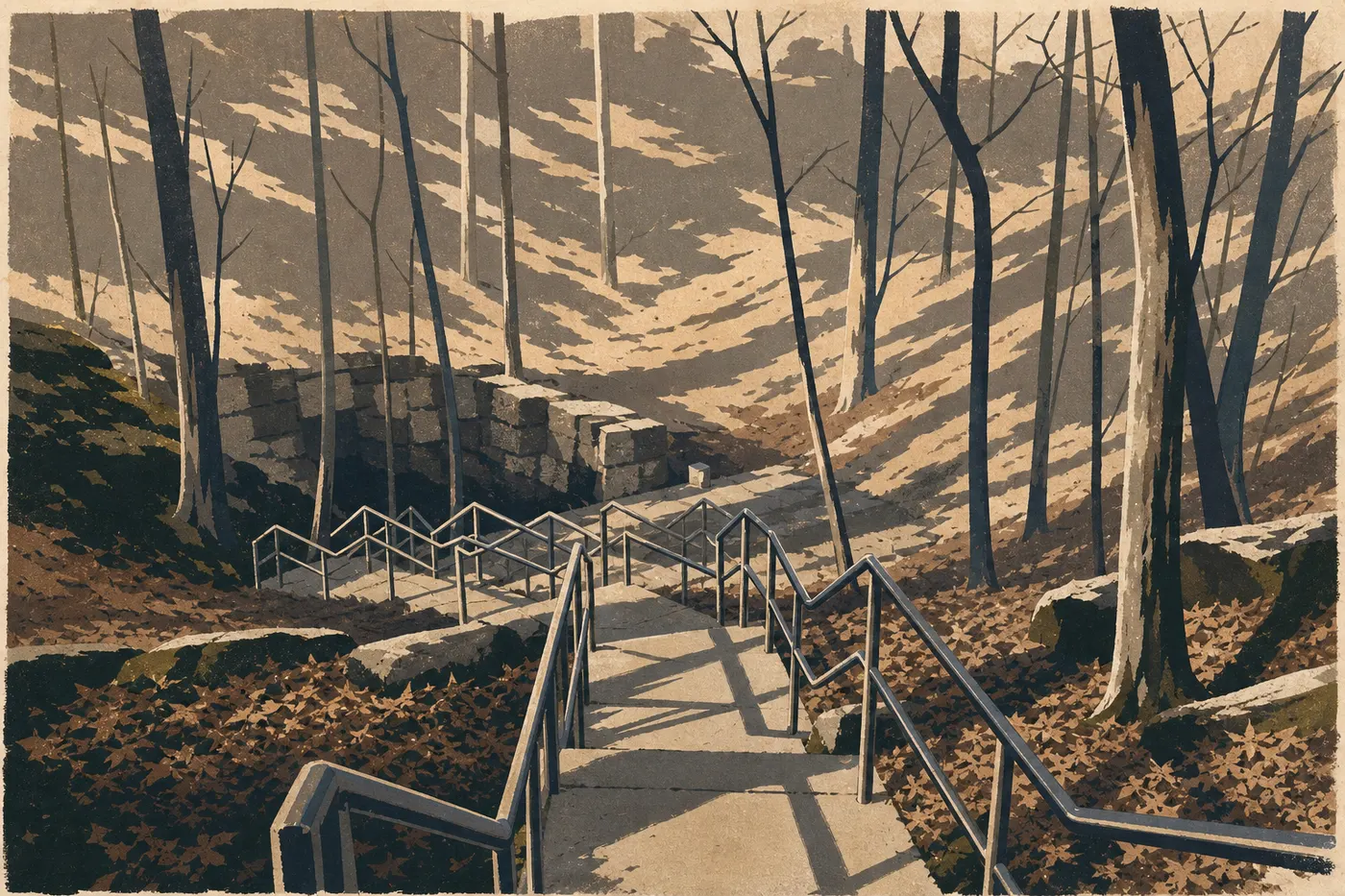
Mammoth Cave's signature surface hike. The trail gradually descends into a large, enclosed karst sinkhole. At the bottom, water disappears into the limestone with no visible outlet, making the basic principle of karst tangible beneath your feet. The oak and tulip poplar canopy keeps things genuinely cool in summer. Watch your step near the bottom, where a few yards of uneven rock can be especially slippery after rain. Start: Cedar Sink Trailhead, accessible from Mammoth Cave Parkway.
- Distance
- About 1.5 miles
- Elevation gain
- moderate elevation gain
- Duration
- 45 min to 1 hour
- Difficulty
- easy to moderate
- Type
- round-trip
This trail follows the banks of the Green River to Echo River Spring, one of the natural outlets of the underground system. The water that emerges here has traveled through Mammoth Cave's passages. Seeing the spring in action changes how you view the cave. There are good spots along the river for watching herons and kingfishers. Start: the Historic Entrance area.
- Distance
- About 5 miles
- Elevation gain
- moderate elevation gain
- Duration
- 2 to 3 hours
- Difficulty
- moderate
- Type
- round-trip
This trail follows the Green River for several miles along its bends. It's lightly used during the week and offers a striking contrast to the activity around the Visitor Center. It's also the best choice for wildlife viewing. White-tailed deer, wild turkeys, and raccoons are regularly reported here. Start: Turnhole Bend Trailhead, accessible by car from Mammoth Cave Parkway.
The Backcountry
The northern part of the park, accessible via the free Green River Ferry, opens onto a much quieter trail network for hikers looking for a true backcountry experience.
- Distance
- About 9.3 miles
- Elevation gain
- moderate cumulative elevation gain, with a few climbs
- Duration
- 4 to 5 hours
- Difficulty
- difficult (distance and navigation through dense forest)
- Type
- loop
The park's go-to loop for a full day in the backcountry. It passes through oak and tulip poplar forests, follows wetlands, and offers good chances to see deer and wild turkeys without encountering many people. Navigation takes attention because dense vegetation can hide signs at intersections. Bring a paper map or download the route for offline use. A camping permit is required if you want to spend the night. Start: Maple Springs Trailhead. Crossing the Green River by ferry is required.
- Distance
- About 8.7 miles one-way
- Elevation gain
- almost no elevation gain
- Duration
- 3 to 4 hours on foot
- Difficulty
- easy
- Type
- one-way with a shuttle or a partial round-trip
This former railroad line is now a multi-use trail for hiking and biking. The route stays almost completely flat from end to end, making it the go-to option for covering miles without dealing with elevation gain. Without a shuttle arranged at both ends, stick to the first half and turn back. Start: Green River Ferry Trailhead or Maple Springs Trailhead, depending on your direction of travel.
Easy, Family-Friendly Hikes
Mammoth Cave isn't a high-mountain park, which is good news for families. The trails near the Visitor Center are short, not very technical, and suitable for all ages.
For a first day with young children, combine Sloan's Crossing Pond Walk (0.5 miles, accessible) and Heritage Trail (1.4 miles, paved) in the morning, then schedule a cave tour for the afternoon. Plan on about 1.9 miles of walking on flat or gently sloping ground.
For kids ages 7 or 8 and up, the Cedar Sink Trail (about 1.9 miles, moderate) is a great fit as long as you choose a day without recent rain and bring a snack for a break at the bottom of the sinkhole. Arriving in the karst basin is a memorable moment, even for kids who aren't usually excited about “rocks.”
For specific advice about cave tours with children, some tours aren't recommended for kids under 4, see our Mammoth Cave family guide.
Challenging Hikes and Full-Day Outings
If you're coming to Mammoth Cave mainly to hike above ground, two options deserve a full day.
Cedar Sink and Turnhole Bend combined. Start with Cedar Sink Trail in the morning, with the trailhead 10 minutes from the Visitor Center, then head to Turnhole Bend Trailhead in the afternoon. These are two distinct areas with radically different settings, a karst sinkhole versus the banks of the Green River, for about 6.8 miles total. It's manageable as a comfortable day out with a picnic break between the two.
The full Good Spring Loop, 9.3 miles. Plan on a full day. An early start is recommended in summer because temperatures in Kentucky regularly climb above 86°F in July and August. Bring at least 2 liters of water per person. You need to cross the Green River by ferry to reach Maple Springs Trailhead. See the Mammoth Cave access guide for the schedule and service availability.
Railroad Trail on foot or by bike. For a long, flat outing without elevation gain, this one-way 8.7-mile trail crosses the park in a unique way. Arrange a car shuttle or limit yourself to an out-and-back on the first half.
Access, Trailheads, and Parking
Watch out for GPS: the NPS explicitly advises against using navigation apps to reach the park. From the north, take Interstate 65 to Exit 53, the Cave City Exit, then follow KY-70, which becomes Mammoth Cave Parkway inside the park. From the south, follow the same advice. Ignore shortcuts suggested by your GPS and follow the official brown signs.
Main parking lot: free, at the Visitor Center. During peak season, June through August, it fills up by 9:30 a.m. Arrive before 9 a.m. or after 3 p.m. to find a space easily.
Secondary trailheads: Cedar Sink Trailhead and Turnhole Bend Trailhead are accessible by car from Mammoth Cave Parkway. Sand Cave Trailhead is about 1.9 miles southeast of the Visitor Center.
Green River Ferry: you need to cross the Green River by ferry to reach the northern backcountry, including Maple Springs Trailhead, Good Spring Loop, and Railroad Trail. The service is free, but it runs on a schedule and depends on river conditions. It closes during floods. Check its availability before planning a backcountry outing. Ferry schedules and navigation conditions are available on the official NPS website.
When to Hike in Mammoth Cave
Kentucky has a humid, temperate climate. Summers are hot, 86 to 90°F, and muggy. Winters are mild, 39 to 45°F, with occasional but infrequent snow. Southern Kentucky, where Mammoth Cave is located, gets about 49 inches of rain a year, most of it in spring.
Fall, September through November: our favorite season for the surface trails. Temperatures are mild, the tulip poplar and oak forests turn colorful in October, and crowds thin out considerably. Good Spring Loop is especially beautiful at this time of year.
Spring, March through May: vegetation is at its best, and migratory birds pass through. This is also the wettest season, so expect muddy trails and possible flooding in low-lying areas.
Summer, June through August: start early, before 9 a.m., to avoid the heat and humidity. Cave tours fill up quickly, so book ahead. If the heat above ground gets to you, the cave stays at 54°F year-round.
Winter, December through February: the surface trails remain open. Snow is rare but possible. Cave tours continue year-round. In the off-season, you'll have plenty of peace and quiet.
For a complete month-by-month temperature calendar, see our guide to the best times to visit Mammoth Cave.
Which Hike Is Right for You
| Hiker profile | Our recommendation |
|---|---|
| First visit, limited time | Heritage Trail (1.4 miles), followed by a cave tour |
| Family with toddlers | Sloan's Crossing Pond Walk (0.5 miles, accessible) |
| Family with kids, age 7+ | Cedar Sink Trail (1.9 miles, moderate, karst sinkhole) |
| Experienced hikers | Good Spring Loop (9.3 miles, backcountry loop) |
| Riverbank enthusiasts | Turnhole Bend Trail (5 miles round-trip, Green River) |
| Wildlife viewing | Turnhole Bend or Good Spring Loop (deer, turkeys) |
| Long distance, flat terrain | Railroad Trail (8.7 miles one-way) |
| Unique karst landscape photography | Cedar Sink Trail (enclosed sinkhole, rare open-air feature) |
For an overview of all the park's activities, see our complete Mammoth Cave guide and the top things to do in Mammoth Cave.
Frequently Asked Questions
Can you hike in Mammoth Cave National Park?
Yes. Beyond the famous cave tours, Mammoth Cave offers more than 81 miles of free-to-access surface trails, from 20-minute family walks to 9.3-mile backcountry loops.
Is hiking in Mammoth Cave difficult?
Hiking in Mammoth Cave is mostly easy to moderate on the trails near the Visitor Center. Cedar Sink Trail, about 1.9 miles, is the only short trail with uneven ground in the last few yards of the descent. Good Spring Loop, 9.3 miles, is rated difficult because of its distance and demanding navigation through dense forest.
What is the most popular trail in Mammoth Cave?
The busiest trail is Heritage Trail, 1.4 miles and easy, because it directly connects the Visitor Center with the Historic Entrance. For a natural landscape unlike any other in the park, Cedar Sink Trail is the standout.
Do you need a permit to hike in Mammoth Cave?
No permit is required for day hikes on the surface trails. A camping permit is required, however, to spend the night in the backcountry.
Are there easy, family-friendly hikes in Mammoth Cave?
Yes. Sloan's Crossing Pond Walk, 0.5 miles, a paved accessible loop; Heritage Trail, 1.4 miles, paved and easy; and Sand Cave Trail, 1 mile and easy, are all suitable for families with young children.
Can you hike with your dog in Mammoth Cave?
Dogs are allowed on the surface trails and must be kept on a leash no longer than 8 feet. They are strictly prohibited inside the cave and in the Visitor Center.
What is the best time to hike in Mammoth Cave?
Fall, from September through November, is the best time for surface hiking in Mammoth Cave. Temperatures are mild, the forests are colorful, and crowds are smaller. The park's When to Go section has more month-by-month detail.
Are there loop hikes in Mammoth Cave?
Yes. Good Spring Loop, about 9.3 miles, is the park's main backcountry loop. Near the Visitor Center, Sloan's Crossing Pond Walk is a small loop accessible to everyone.
How do you reach the trailheads at Mammoth Cave?
The main trailhead is at the Visitor Center, where parking is free. The secondary trailheads, Cedar Sink, Turnhole Bend, and Sand Cave, are accessible by car from Mammoth Cave Parkway. To reach the northern backcountry, including Good Spring Loop and Railroad Trail, you need to cross the Green River by ferry. The access guide to the park has details on driving from Interstate 65 and the ferry schedule.
What is the difference between Mammoth Cave and Mammoth Lakes?
Mammoth Cave National Park is in Kentucky, in the south-central United States. Mammoth Lakes is a California mountain town in the Sierra Nevada. They're two destinations with no geographic or thematic connection. If you're looking for high-altitude hikes and volcanic scenery, you're looking for a different destination.