
What to Do in Bryce Canyon: The Must-See Sights
Bryce Canyon isn't a canyon (the joke is unavoidable). It's a natural amphitheater carved into the Paunsaugunt Plateau, more than 7,900 feet above sea level in southwestern Utah. What sets it apart from every other park in the American West? Its hoodoos, those red, orange, and cream-colored rock columns sculpted by erosion, numbering in the thousands. Your first view from the plateau rim literally takes your breath away.
The three must-sees: explore the amphitheater viewpoints (Sunrise Point, Sunset Point, Inspiration Point, and Bryce Point); descend among the hoodoos on the Navajo Loop and Queen's Garden combination; and drive the Scenic Drive to Rainbow Point. Everything else is a bonus if you've got time.
Bryce Canyon at a Glance: Areas, Access, and Getting Around
The park stretches about 19 miles from north to south along one main road, UT-63. To the west, the plateau overlooks the valleys from a series of rocky rims. To the east, it drops into a maze of hoodoos and canyons accessible only on foot. There are no rivers, no lakes, and no canyon floor you can reach by car. Here, you explore from the plateau rim, looking out over the drop-off, or on foot down in the depths.
The main areas:
- The amphitheater, around Bryce Canyon Village (the main entrance): the four signature viewpoints, most of the short trails, and shuttle access.
- The Scenic Drive, running south to Rainbow Point: a series of less crowded viewpoints with increasingly expansive panoramas.
- Fairyland Point, north of the entrance booth: often left off itineraries and almost always quiet.
- Mossy Cave, reached from UT-12 (outside the main loop): an easy mini-trail with a character all its own.
Getting around the park: drive to the Scenic Drive and Mossy Cave, and use the free NPS shuttle for the amphitheater viewpoints during the busy season. You'll find schedules, stops, and practical advice for each season in our guide to getting around Bryce Canyon.
To choose when to visit (the elevation calls for extra care in winter, and thunderstorms are common in July and August), check out our guide to the best seasons for Bryce Canyon.
How Much Time Do You Need to Visit Bryce Canyon?
A half day is enough to see the amphitheater viewpoints from the rim, but it'll be a quick and incomplete visit. A full day lets you hike down into the hoodoos and drive the Scenic Drive to Rainbow Point. Two days give you a comfortable pace. You'll have time to explore Fairyland, take a longer hike, and catch a sunrise.
After two days, you've covered the park itself. Use any extra days for nearby sites (Red Canyon, Kodachrome Basin, and Grand Staircase-Escalante) or more challenging trails. Our Bryce Canyon itineraries break down trips day by day, whether you've got 24 hours, two full days, or a week in the area.
Bryce Canyon's Must-See Sights, Area by Area
The Amphitheater and the Rim: The Heart of the Park
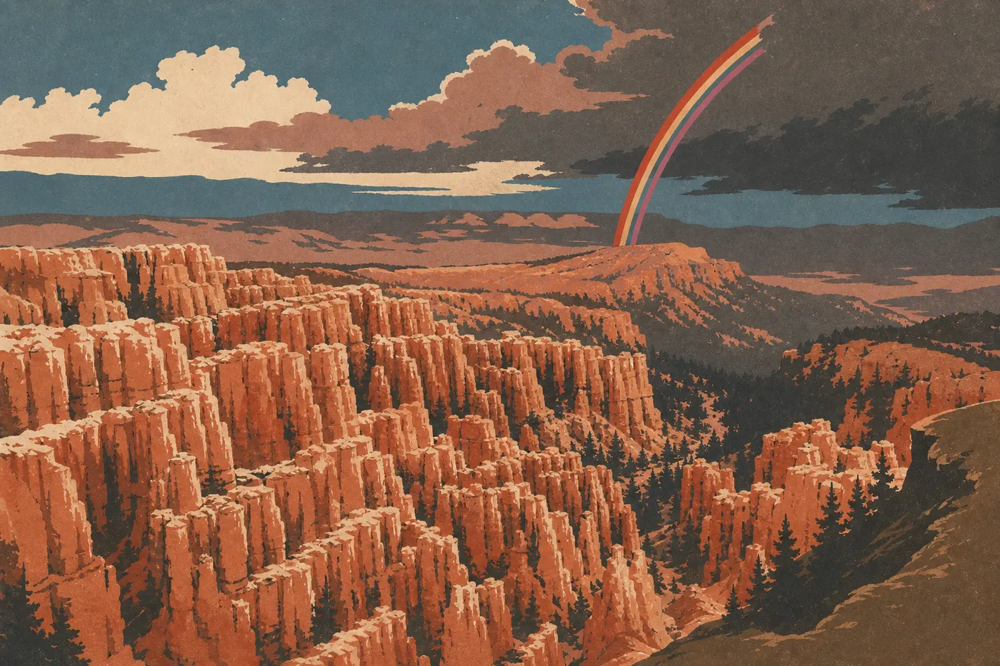
This is where everything starts and, for many visitors, where it ends. Bryce's amphitheater is a natural excavation about 1.9 miles wide and 650 feet deep, carpeted with ochre, orange, and off-white hoodoos. Four viewpoints line its rim. Some of the most photographed hoodoos, including Thor's Hammer and Wall Street, can only be seen by hiking down the trails below.
Sunrise Point: Facing due east, it catches the soft morning light and sets the hoodoos ablaze. It's the park's most popular sunrise spot. Arrive at least 20 minutes before sunrise to find a place along the rim.
Sunset Point: Facing southwest, it gets warm late-afternoon light and looks straight at Thor's Hammer. It's also the starting point for the Navajo Loop, the quintessential short hike. The parking lot fills up starting at 9 a.m. in summer, so take the shuttle.
Inspiration Point: A 0.5-mile walk from Sunset Point along the Rim Trail leads to three stacked overlooks with a panoramic view of the entire amphitheater. The second overlook is the most photographed, but the third, Upper Inspiration Point, gives you the broadest perspective. The climb is moderate, and the payoff is a sure thing.
Bryce Point: At the southern end of the amphitheater, at 8,300 feet, it looks down over the Peek-a-Boo Valley and a section of the park hidden from the other viewpoints. You can also see hikers on the Peek-a-Boo Loop, tiny among the orange twists and turns. It puts the scale into perspective.
The Rim Trail connects the four viewpoints over 5.4 miles one way. It follows the plateau edge and stays exposed to the wind, with short but repeated elevation changes. The Sunrise to Sunset section, 1.1 miles, is almost flat and accessible to all ability levels.
The Scenic Drive: From Natural Bridge to Rainbow Point
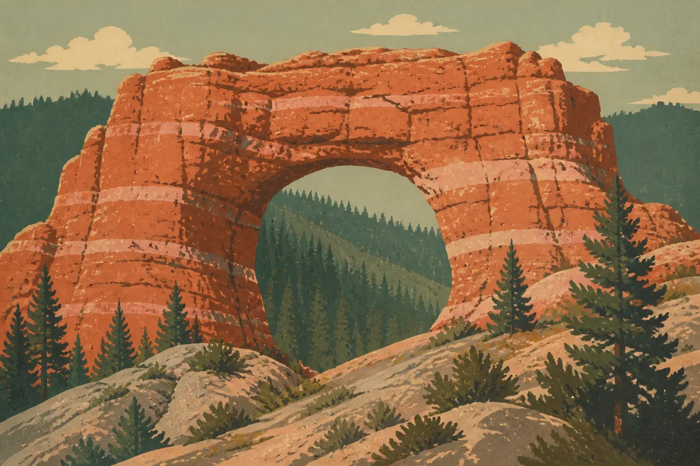
UT-63 crosses the park from north to south. Past the amphitheater, it enters a ponderosa pine forest dotted with rock outcrops and increasingly lofty viewpoints.
Paria View (reached from the Bryce Point junction): looks southeast toward Grand Staircase-Escalante, offering a completely different angle from the amphitheater viewpoints. It's always quiet and often left off itineraries.
Fairview Point (about 12 miles from the entrance): one of the park's broadest panoramas. On a clear day, you can make out the "steps" of the Grand Staircase, a series of geological formations descending toward the Grand Canyon. The interpretive sign is worth a two-minute read.
Natural Bridge: Despite its name, this is an arch, not a bridge. In geology, a bridge spans a waterway, while an arch is carved by erosion. The arch stands about 85 feet high and is visible right from the parking lot, with no walking required. It's especially photogenic in midmorning, when the shadows pull back.
Agua Canyon: Two imposing hoodoos dominate the view from the overlook. It's less crowded than the previous stops, and the late-afternoon light is particularly beautiful here.
Rainbow Point and Yovimpa Point (at the southern end, 9,114 feet): the highest point you can reach by car. Rainbow Point looks northeast; Yovimpa Point, 500 feet away, faces south toward the Kaiparowits Plateau. On a clear day, visibility extends beyond 93 miles. Come in the late afternoon for the slanting light, and stay if you're hoping to stargaze.
Fairyland Point: A Detour Worth Taking
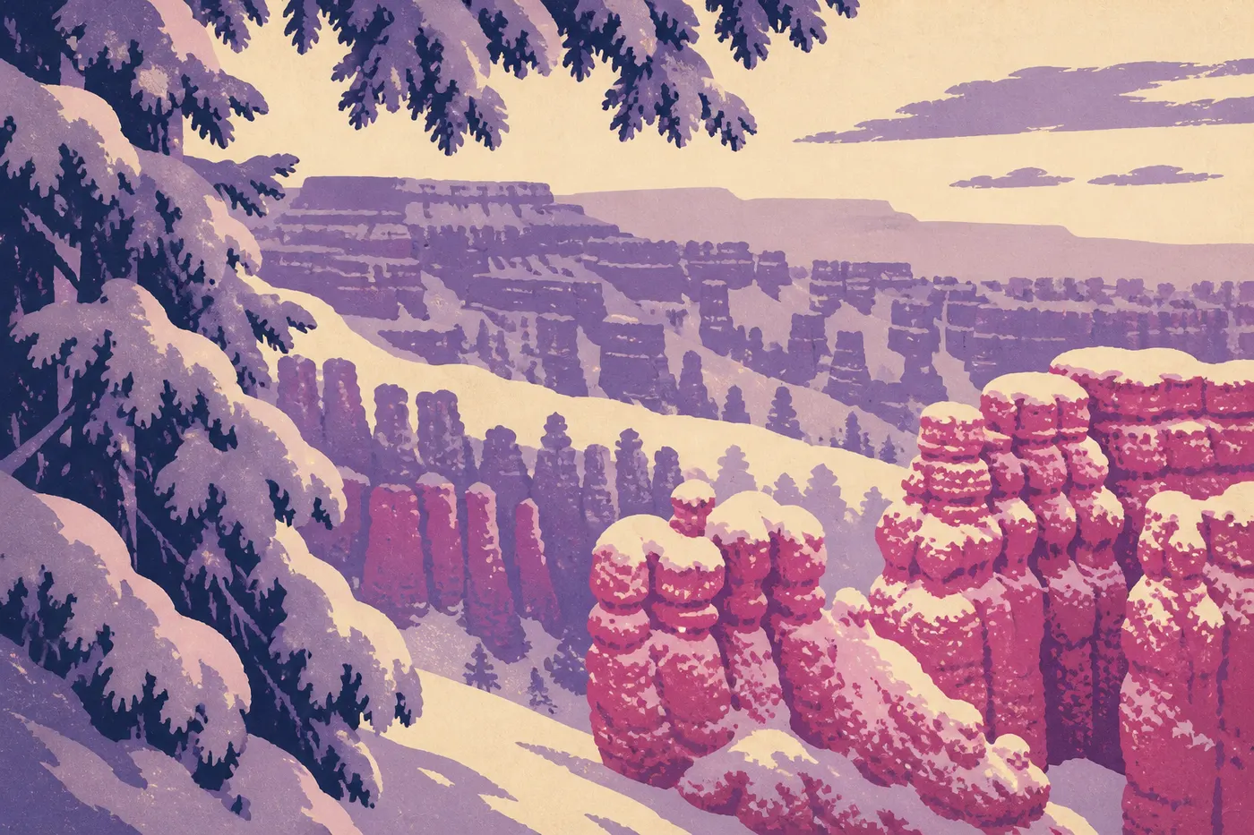
Located before the entrance booth (so you can reach it without paying the entrance fee, which is handy in the evening), Fairyland Point has a structure similar to the amphitheater but softer colors and far fewer people.
It's also the starting point for Fairyland Loop, the area's longest and least crowded trail along the park's front country. The loop covers 9 miles and gains about 2,000 feet. Save it for a second day, or for hikers looking for solitude.
Mossy Cave: The Side Trip You Shouldn't Miss
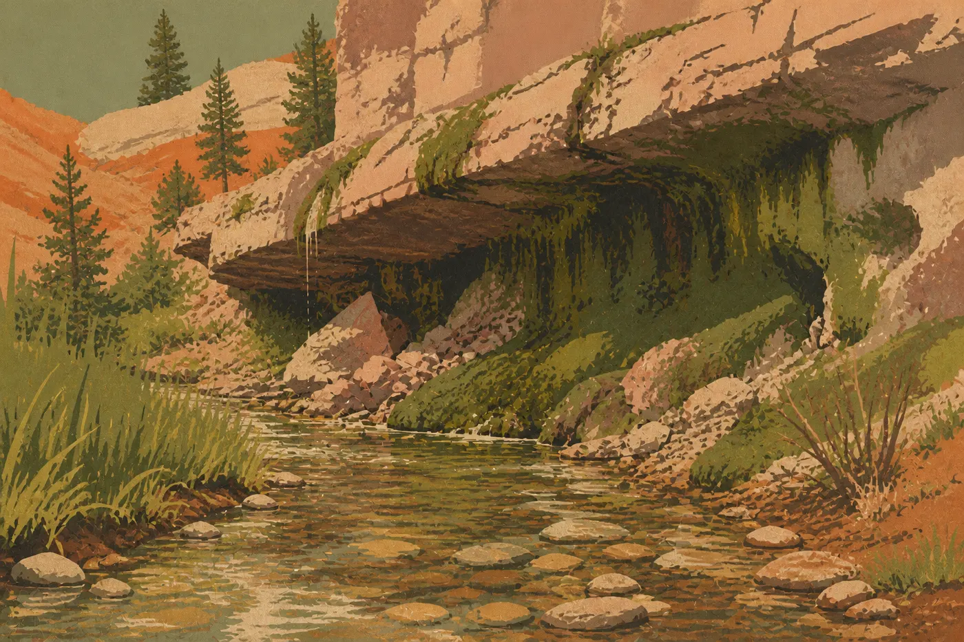
Mossy Cave isn't in the park's main area. You reach it from UT-12, about 4 miles east of the UT-12/UT-63 intersection. The 1-mile round-trip trail is nearly flat and follows an irrigation ditch built in the 19th century to supply the farms around Tropic. It leads to a moss-covered grotto and, in spring and early summer, a small waterfall.
The scenery is a sharp contrast with the rest of the park: dense vegetation, moisture, and filtered light. It's one of the few walks where you'll see water. Add it as a stop if you're arriving from or heading toward Escalante or Capitol Reef on UT-12.
The Best Hikes in Bryce Canyon
Hiking down into the hoodoo maze is an experience in itself. From the plateau rim, you suddenly find yourself level with the columns, winding through narrow corridors between 30- to 65-foot orange walls. The effect is striking, especially the first time.
Navajo Loop + Queen's Garden (3.4-mile loop from Sunset Point): the favorite combination among regular visitors. Descend through Wall Street on the Navajo Loop, climb back out through Queen's Garden and its mushroom-shaped formations, then return to Sunrise Point along the Rim Trail. The elevation gain is about 560 feet. Allow 2 to 3 hours.
Peek-a-Boo Loop (5 miles from the bottom of the Navajo Loop or from Bryce Point): the area's most varied trail, winding among hoodoos with shapes unlike those in the amphitheater. You'll share it with horses from authorized outfitters, so keep to the side of the trail when they pass.
Fairyland Loop (9 miles, for experienced hikers): the choice for anyone seeking solitude. Fewer people, more forest mixed in with the hoodoos, and a completely different atmosphere.
Our Bryce Canyon hiking guide covers every trail, its actual elevation gain (not just the official rating, which often underestimates the impact of the elevation), water sources, and precautions to take above 7,900 feet.
Other Activities for Every Kind of Visitor
Stargazing
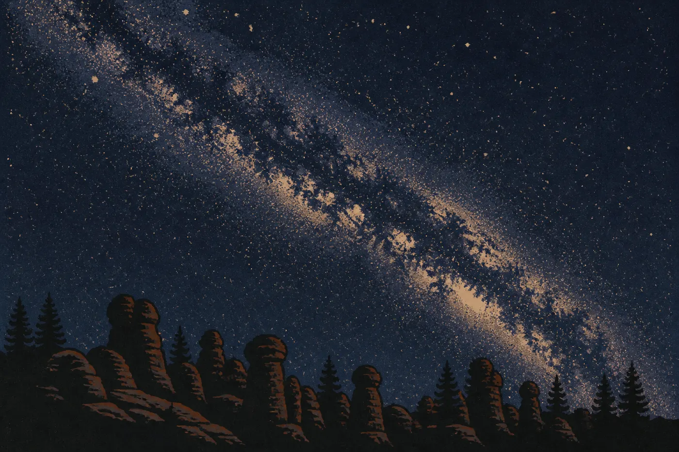
The International Dark-Sky Association has certified Bryce Canyon as an International Dark Sky Park. At 8,200 feet, far from any major settlement, you can see the Milky Way with the naked eye on most summer nights. The park hosts astronomy evenings and star parties with amateur astronomers, usually in June and July. Ask at the Visitor Center for dates.
Here's a bonus: seeing the hoodoos in the light of a full moon is something few visitors plan for, but no one forgets. The Rim Trail between Sunrise and Sunset Point becomes an almost surreal walk.
Wildlife Watching
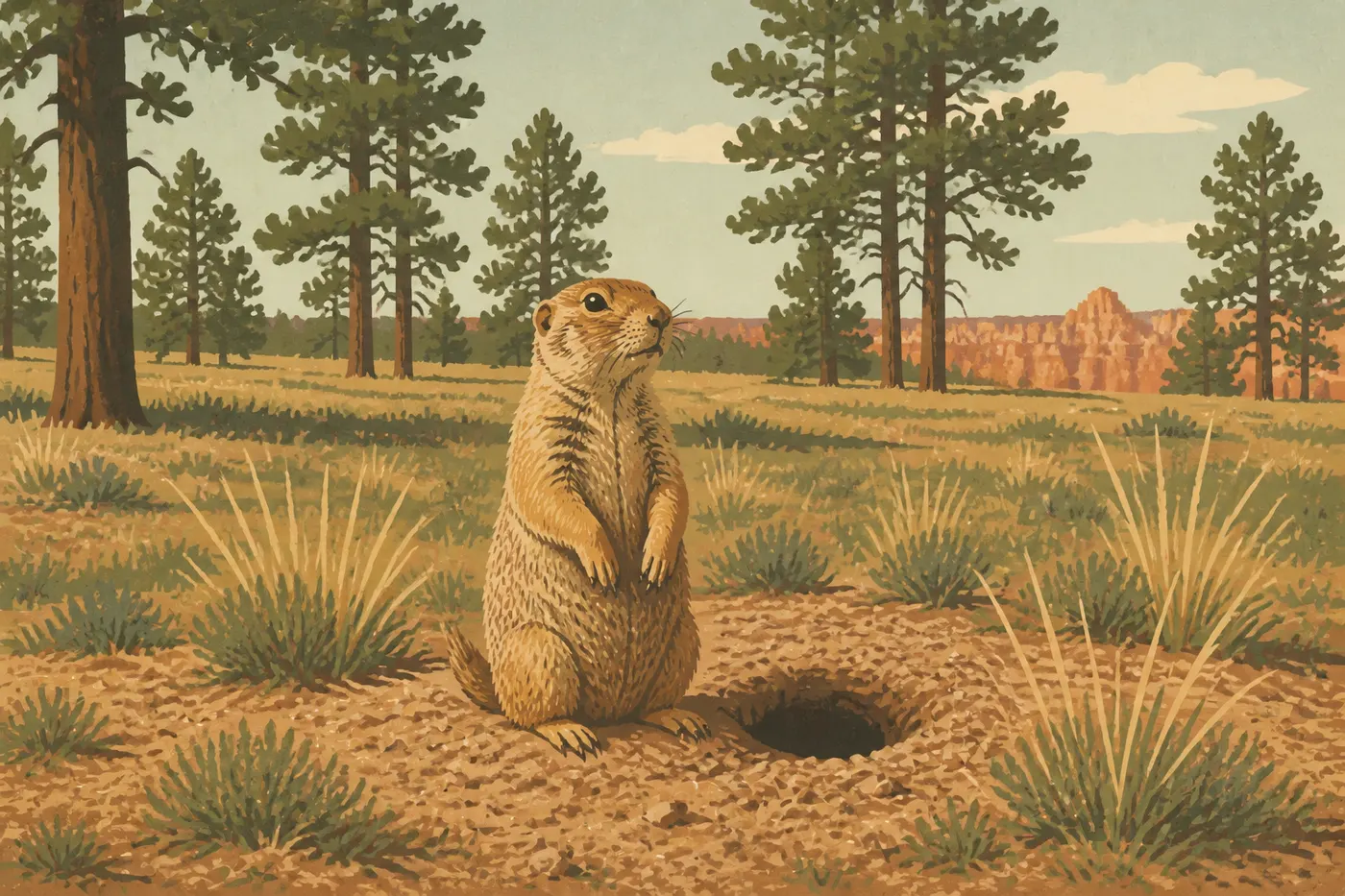
Prairie dogs colonize the meadows at the park entrance. You can see their burrows and comings and goings from the road without making any effort. Bryce is also home to mule deer, pronghorn (often mistaken for gazelles because of their slender build), red foxes, and California condors since their reintroduction. With wingspans of nearly 10 feet, the condors regularly soar above the amphitheater viewpoints. Our Bryce Canyon wildlife guide lists the species and the best viewing areas by season.
Horseback Riding
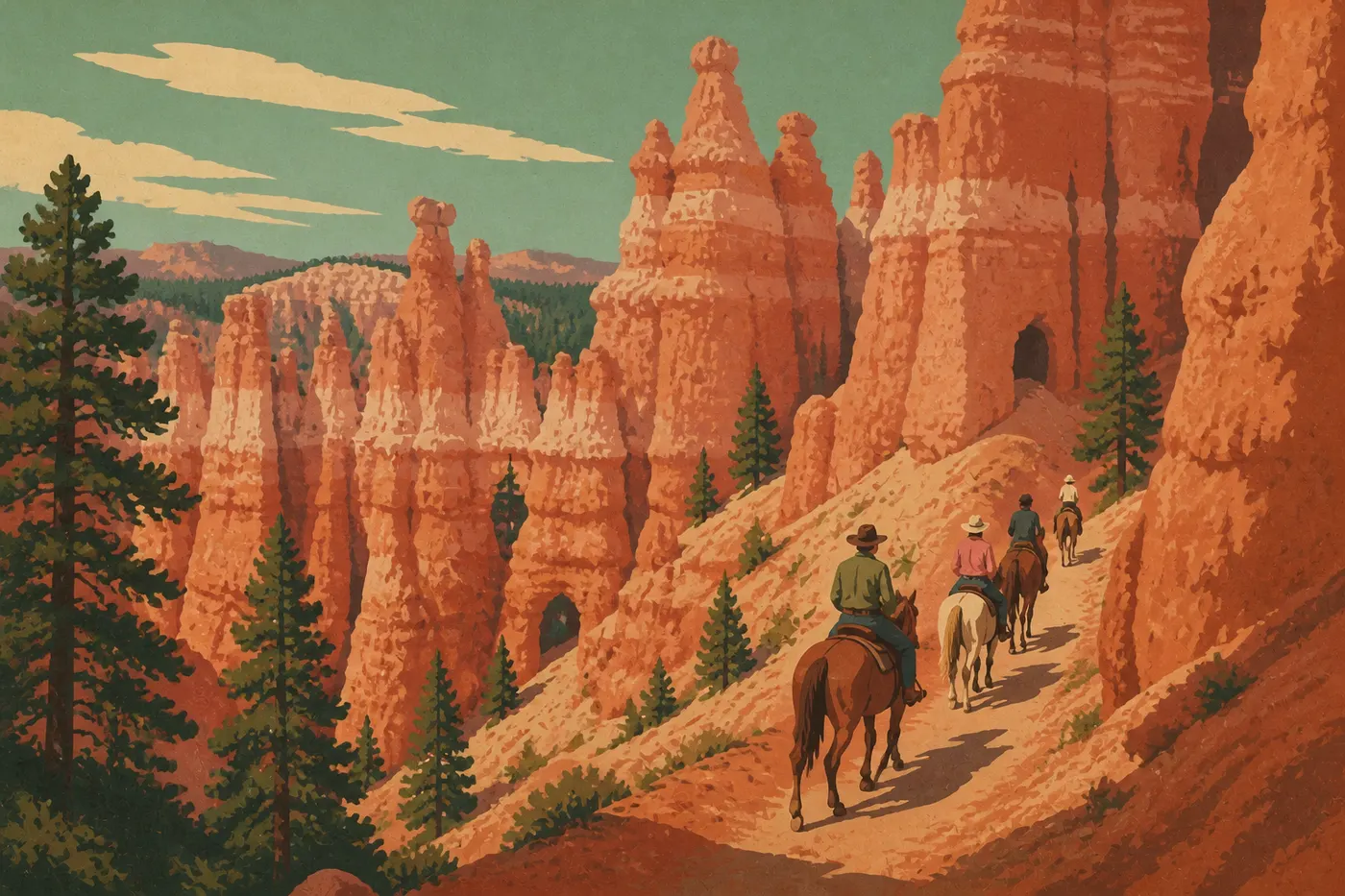
Canyon Trail Rides is the only authorized outfitter operating in the park. It offers two rides: a two-hour loop in the amphitheater area and a half-day trip on Peek-a-Boo Loop. Booking is recommended as soon as you start planning a peak-season trip.
Winter Activities
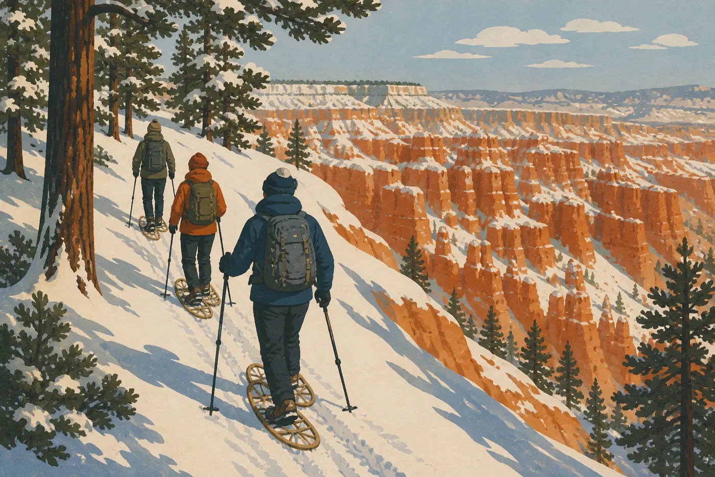
Bryce regularly gets snow between November and April, sometimes into May. Hoodoos capped with snow beneath an intensely blue sky are among the park's most spectacular sights, and among the least seen. Several trails in the amphitheater area are suitable for snowshoeing. The park lends snowshoes free of charge at the Visitor Center, subject to availability. Cross-country skiing is possible on some sections of the Scenic Drive when snow cover allows.
Photography
There are two can’t-miss windows: sunrise at Sunrise Point, with front light on the orange hoodoos, and the late-afternoon slanting light at Sunset Point and Bryce Point, which creates long shadows and maximum contrast. In winter, snow on the hoodoos adds a palette of colors you won't find anywhere else in Utah.
What to Do Around Bryce Canyon
The park sits amid a concentration of exceptional sites. Here are a few stops to add if you've got time.
Red Canyon (15 minutes west on UT-12): red hoodoos nearly identical to Bryce's, managed by the Dixie National Forest and with no national park entrance fee. There are several trails, a bike path, and far fewer people. It's the perfect stop if you're arriving from I-15.
Kodachrome Basin State Park (30 minutes southeast): a different kind of geological formation, with gray and beige sandstone "chimneys" in an enclosed basin. The National Geographic Society named it in 1948. Its atmosphere is very different from Bryce, making it a useful way to vary the textures and colors of your trip.
Grand Staircase-Escalante National Monument: A nearly 2 million-acre national monument that starts almost at Bryce's doorstep. You can reach it via UT-12, Utah's most spectacular scenic road, or from Kanab. It's best suited to self-sufficient hikers with a vehicle equipped for rough roads.
Zion National Park: About 1.5 hours southwest. The setting is completely different, with a narrow canyon, a year-round river, and lush vegetation. If you're combining Bryce and Zion on the same trip, the logical route runs through US-89 and Mount Carmel Junction.
Capitol Reef National Park: About two hours east via UT-12, a road worth the trip on its own, with Calf Creek Overlook and the Head of the Rocks mesas along the way. It's less crowded than Bryce or Zion and ideal if you're looking for solitude.
Our Utah Road Trips guide and our Regional guides provide ideas for logical routes and intermediate stops as you build your itinerary.
The Essentials: What to See First in Bryce Canyon
If you've only got one day, start with the amphitheater viewpoints early in the morning (Sunrise, Sunset, Inspiration, and Bryce Point). Hike down into the hoodoos via the Navajo Loop or the Navajo Loop and Queen's Garden combination in the late morning, then drive the Scenic Drive to Rainbow Point in the afternoon. This is the trio we recommend to anyone visiting Bryce for the first time.
With two days, add Fairyland Point, Fairyland Loop, or Peek-a-Boo Loop, and plan an evening under the stars. Few parks in the United States offer skies like these.
Bryce is remarkably compact. You can cover the park's entire heart in one full day, and the hoodoos' uniqueness makes it one of the best parks for the effort-to-wonder ratio. For everything related to lodging in or near the park, our Bryce Canyon lodging guide lists every option, from campgrounds to lodges.
Frequently Asked Questions
How much time do you need to visit Bryce Canyon?
Plan on a full day to cover the essentials: the amphitheater viewpoints, one hike among the hoodoos, and the Scenic Drive to Rainbow Point. Two days let you explore Fairyland and Mossy Cave and enjoy the night sky. Our Itinerary & Timing page lays out plans based on how much time you have.
What activities can you do in Bryce Canyon?
Things to do in Bryce Canyon include hiking among the hoodoos (Navajo Loop, Queen's Garden, and Fairyland Loop), stargazing in the evening (the park is an IDA Dark Sky Park), horseback riding with an authorized outfitter, snowshoeing in winter, and wildlife watching (California condors, prairie dogs, and pronghorn).
What are the best viewpoints in Bryce Canyon?
The best viewpoints are Sunrise Point (sunrise and front light on the hoodoos), Sunset Point (golden afternoon light and a view of Thor's Hammer), Inspiration Point (a panorama of the entire amphitheater), and Rainbow Point (at 9,114 feet, with views extending more than 93 miles on a clear day). Bryce Point offers the most dramatic downward view of the Peek-a-Boo area.
What are the must-see sights in the American West that include Bryce Canyon?
Bryce Canyon is one of Utah's "Mighty Five," along with Zion, Arches, Canyonlands, and Capitol Reef. The five national parks sit within a few hours of one another. On a broader American West road trip, Bryce pairs naturally with the Grand Canyon in Arizona and Monument Valley to create the classic Colorado Plateau loop.