
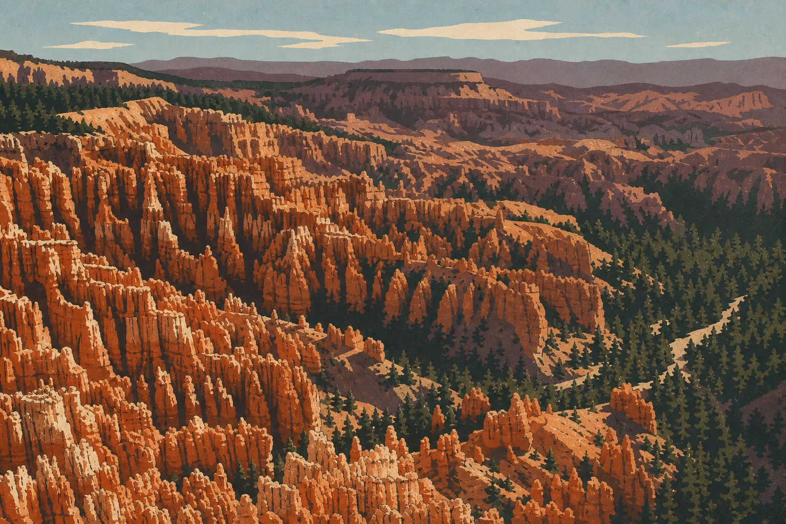
Bryce Canyon Map, Districts, and the Official Downloadable Map
Bryce Canyon National Park lies in southwestern Utah, about 168 miles northeast of Las Vegas and 267 miles south of Salt Lake City. The park spreads across a limestone plateau more than 7,900 feet above sea level, with rust-colored hoodoos sculpting its eastern slopes. You can download the official NPS map for free at nps.gov/brca. Staff will also give you a paper copy at the park entrance when you pay your fee.
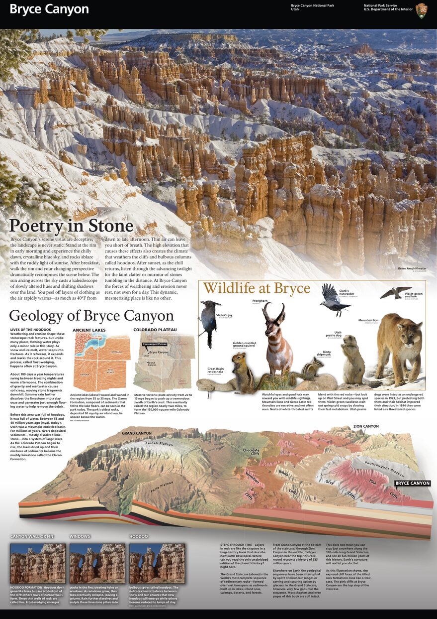
The official park map handed out at entrance stations, with roads, areas, visitor centers and services. View it here or download it for offline use.
Download the map (PDF) Public domain · National Park ServiceWhere Is Bryce Canyon?
Bryce Canyon National Park occupies the eastern edge of the Paunsaugunt Plateau in Garfield County, Utah. On a map of the United States, it sits in the state's southwestern corner, at the heart of what travelers call the "Grand Circle." Grand Canyon, Zion, Arches, Canyonlands, and Capitol Reef are all less than five hours from the park entrance by car.
The main entrance is reached via UT-63, which branches off UT-12, one of Utah's most spectacular scenic highways. For an overview of the region and possible combinations with other parks, our Grand Circle region guide covers routes and nearby parks. If you're still working on your overall plans, the complete Bryce Canyon guide is the best place to start.
Download the Official Bryce Canyon Map (NPS Unigrid)
The NPS publishes an Unigrid map for every park in a folded brochure format. You can download it as a free PDF at nps.gov/brca. The Bryce Canyon map includes:
- the Scenic Drive and the park's internal roads
- trail, viewpoint, and picnic-area locations
- campgrounds and key services, including the Visitor Center, restrooms, and a grocery store
- insets about hoodoo geology and local wildlife
In the park, this map is still the most useful reference. Its colors are calibrated for reading in direct sunlight, when a phone screen becomes hard to read after a few hours at 8,200 feet.
Bryce Canyon Districts
The park follows a single north-south route, the Scenic Drive, along the edge of the plateau for 18 miles. You can divide it into three distinct geographic areas.
Bryce Amphitheater (northern area, from mile 0 to about mile 5)
This is where you'll find most of the park's main sights. The Visitor Center, the four major viewpoints, Sunrise Point, Sunset Point, Inspiration Point, and Bryce Point, as well as the starting points for the signature trails, the Navajo Loop and Queen's Garden, are all concentrated here. One winter sunrise, I watched the hoodoos turn an almost fluorescent orange against the snow. It's an image you don't forget. This area is also the busiest in summer, so arrive early or take the free shuttle from the main parking lot to avoid the traffic.
The Central Area (from about mile 5 to mile 11)
It's less crowded, but worth the detour. Farview Point offers a 360-degree panorama of the surrounding plateaus. You can see Natural Bridge, a red sandstone arch, from the road without any serious walking. It's a good place to catch your breath after the crowds at Bryce Amphitheater.
The Southern End (from about mile 11 to mile 18)
Rainbow Point, the park's highest point at about 9,100 feet, marks the end of the Scenic Drive. Nearby Yovimpa Point offers clear-day views all the way to the plateaus of Arizona. Bristlecone pines, some more than 1,500 years old, gradually replace the hoodoos. Few visitors make the effort to come this far, which is exactly the best reason to go.
Park Entrances and Driving Through the Park
Bryce Canyon has just one road entrance, on UT-63. Once inside, the road becomes the Scenic Drive and ends at Rainbow Point. There is no through road. You enter and leave through the same point, with no way to drive out the southern end.
Entrance fees in 2026 are $35 per private vehicle, $30 per motorcycle, and $20 per person entering on foot or by bicycle. The park is open 24 hours a day, 365 days a year, but winter conditions can limit access to some areas after a snowfall. You can find details about annual pass options on our editorial National Park Fees & Passes page. For driving routes, travel times, and parking advice, see the Bryce Canyon access guide.
Points of Interest and Viewpoints on the Map
Viewpoints line the Scenic Drive and are marked with brown signs. These are the locations to mark on your map first:
- Sunrise Point and Sunset Point are the two easiest viewpoints to reach from the Visitor Center, making them ideal for a first look at Bryce Amphitheater.
- Inspiration Point sits slightly higher and looks down more steeply into the maze of hoodoos. Go early in the morning, before the tour buses arrive.
- Bryce Point is the southernmost viewpoint in the northern area and a favorite at sunrise.
- Natural Bridge is a natural arch visible from the road, with no walk required.
- Rainbow Point is the highest viewpoint, at the end of the Scenic Drive, with open views to the south.
The Bryce Canyon things to do guide covers each site, including visit times and advice on when to go.
Nearest Towns and Airports
The closest town to Bryce Canyon is Panguitch, about 15 miles northwest of the entrance. This small town of roughly 1,500 residents has gas stations, grocery stores, and reasonably priced motels. Bryce Canyon City, formerly Ruby's Inn, sits almost next to the park entrance and is even closer, though prices there are understandably higher.
The main airports are listed below.
- Cedar City (CDC) is about 56 miles southwest. It has domestic flights from Salt Lake City and a few regional connections.
- Salt Lake City (SLC) is about 267 miles north. It's a major hub with direct transatlantic connections.
- Las Vegas (LAS) is about 249 miles south. For a Utah road trip, it can be a cost-effective starting point, depending on where you're flying from.
Our Access & Transportation page compares these options, estimated driving times, and car-rental advice.
Hiking Maps and Trail Guidebooks (Print)
For the marked trails in Bryce Amphitheater, the NPS Unigrid map is more than enough. If you're planning longer trails, such as the Under-the-Rim Trail or Riggs Spring Loop, or heading into the backcountry, a dedicated topographic map becomes an important safety tool.
Here are a few options available from specialty bookstores or online:
- Trails Illustrated (National Geographic) is a dedicated Bryce Canyon map with waterproof paper and detailed contour lines. It's the standard choice for serious hikers.
- ITM maps (International Travel Maps) are less detailed but useful alongside a regional guide.
- Cartovia makes large, laminated maps that are easy to pin up in an RV.
The Bryce Canyon hiking guide breaks down the trails by difficulty, with maps and elevation profiles for each one.
Frequently Asked Questions
How much time do you need to visit Bryce Canyon?
How long you need depends on what you want to do. Allow half a day for the main Bryce Amphitheater viewpoints, a full day to drive the Scenic Drive to Rainbow Point, and two days if you want to hike down into the canyon. The Bryce Canyon itinerary guide offers several plans based on how much time you have.
What is the closest town to Bryce Canyon?
The closest town to Bryce Canyon is Panguitch, about 15 miles northwest of the park entrance. Bryce Canyon City, right at the entrance, is even closer, but its services are limited. The Bryce Canyon lodging guide lists nearby options and typical price ranges.
What is the best viewpoint in Bryce Canyon?
The best viewpoint depends on the light and time of day. Inspiration Point offers the most dramatic downward view over the hoodoo field, Bryce Point is ideal at sunrise, and Rainbow Point rewards visitors who make the drive to the end of the Scenic Drive. Our Things to Do page compares each viewpoint and recommends the best times to visit.
What is the route through Bryce Canyon?
The standard route in Bryce Canyon is the Scenic Drive, an 18-mile one-way drive along the edge of the plateau from the entrance to Rainbow Point. For hikers, the Navajo Loop and Queen's Garden combination, about 3.1 miles with roughly 560 feet of elevation gain, is the most complete route through Bryce Amphitheater. Our Hiking page covers every trail, with difficulty levels and route maps.