
What to Do in Zion: The Must-See Highlights
Zion National Park packs scenery you won't find anywhere else into a canyon carved by the Virgin River in the heart of Utah: red sandstone cliffs rising 2,460 feet above you, canyons so narrow that you walk through them in the water, and viewpoints that make you feel like you're floating above the world. On a first visit, make time for five essentials: The Narrows, Angels Landing and its vertigo-inducing views, Emerald Pools, the panorama from Court of the Patriarchs, and the wild Kolob Canyons area. Here's what else you need to know, area by area.
Zion at a Glance: Areas, Access, and Getting Around
Zion sits in southwestern Utah, a few miles from the small town of Springdale. The main entrance, by far the busiest, is the south entrance, just steps from the Visitor Center. A second entrance, reached from I-15 at the park's northwestern end, leads to Kolob Canyons. It's a separate area in its own right, often left off classic itineraries, and that's a mistake.
The park is open 365 days a year. Admission is $35 per vehicle (valid for 7 days). If you enter on foot or by bike, it costs $20 per person. If you're visiting several national parks on the same trip, the America the Beautiful pass ($80) pays for itself starting with the second park.
Zion's great distinction is its free shuttle system, which replaces private cars on Zion Canyon Scenic Drive during the busy season. Shuttles leave from the Visitor Center, stop at nine stations as they travel up the canyon, and return from Temple of Sinawava. Riding a packed shuttle in 100°F heat can be inconvenient, but the system is also what keeps the canyon accessible in the most literal sense. Shuttle schedules, parking, and park entrances are covered in our guide to getting around Zion.
Here are the four main areas to know before you arrive:
- Zion Canyon: the heart of the park, the main valley served by shuttle
- UT-9 / Zion-Mount Carmel Highway: the east-west route through the park, including its historic tunnel
- Kolob Canyons: the northwestern area, more isolated and much less crowded
- Kolob Terrace Road: the secondary road climbing toward the plateau, little-known and often closed in winter
How Long Do You Need to Visit Zion?
At least two days will let you see the highlights of Zion Canyon and tackle the signature hikes without feeling rushed. Three days give you time to add Kolob Canyons and take on more demanding trails. Four days is the ideal pace if you want to include The Subway or Observation Point along with the classic sights.
The shuttle logistics make trips around the park take longer. Think in terms of waiting and travel time between stops, not miles covered. Our Zion itinerary guide includes 2-, 3-, and 4-day plans with the shuttle sequence built in.
The Must-See Highlights, Area by Area
Zion Canyon
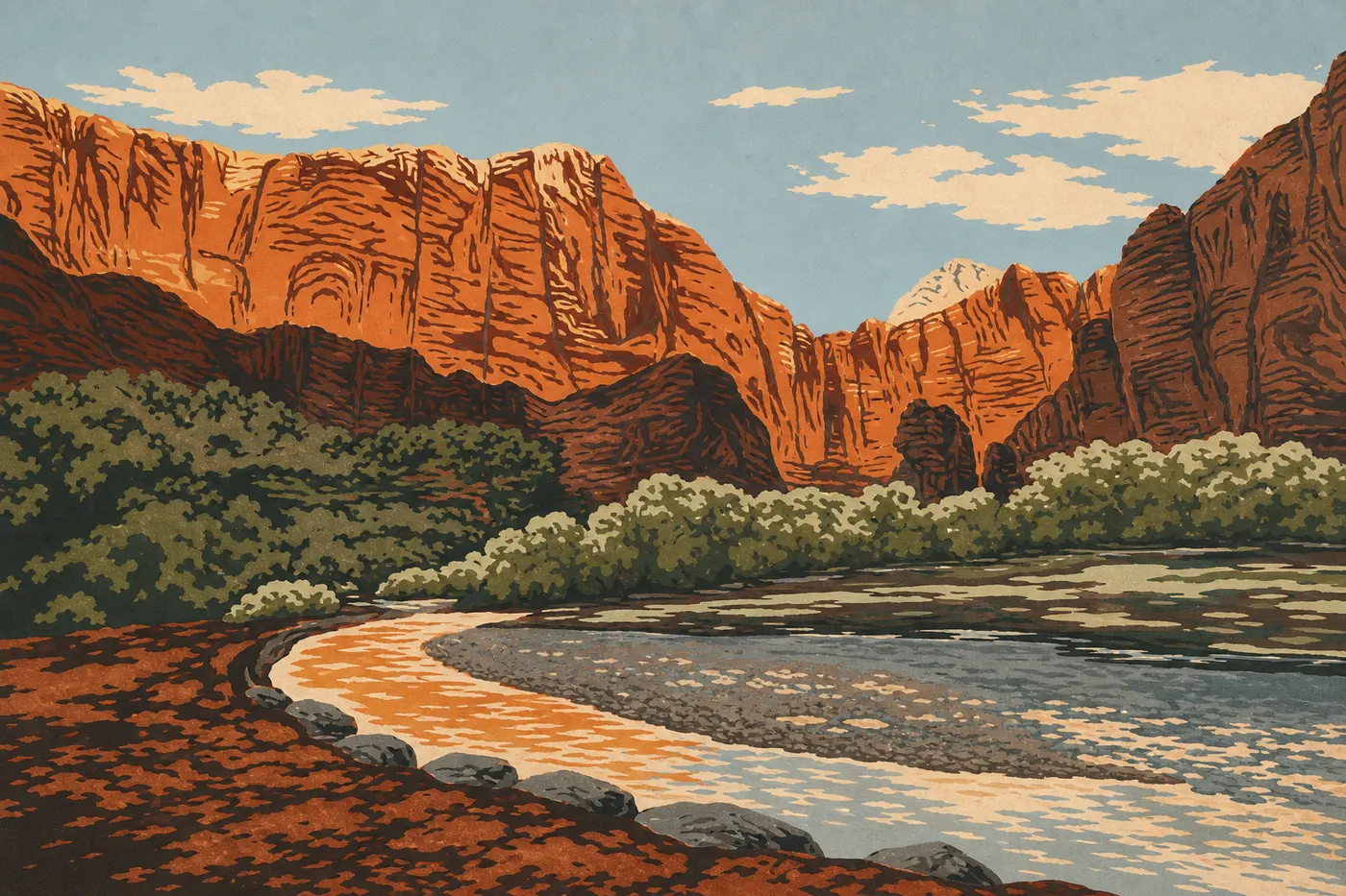
This is where everyone arrives, and there's a reason. Zion Canyon is genuinely breathtaking. The Virgin River carved a deep valley between Navajo sandstone walls that change color with the light, orange at midday and almost purple at sunset. The shuttles drop you at the key stops. Here's what deserves your time at each one.
Court of the Patriarchs (stop 4). Three sandstone monoliths named Abraham, Isaac, and Jacob tower over the valley floor. The stop takes only five minutes, but the composition is perfect for photos, especially late in the morning when the cliffs light up.
Zion Lodge and Grotto (stops 5-6). Zion Lodge is the only lodging in the canyon, and reservations fill months in advance (see our Zion lodging guide if that's your goal). Grotto, directly across the way, is the trailhead for the climb to Angels Landing. The riverside meadow, shaded by cottonwoods, is also one of the best places in the canyon to sit and watch the cliffs without doing anything at all.
Weeping Rock (stop 7). A cliff that constantly seeps spring water, creating a hanging garden of ferns and wildflowers. The trail is 0.5 miles round-trip. It's the easiest way in the canyon to get a guaranteed panorama without much effort.
Temple of Sinawava (stop 8, the terminus). This is where the line ends, at the point where the canyon narrows into a slim corridor with the Virgin River running through it. From here, the Riverside Walk follows a paved trail for 1.9 miles round-trip along the river to the natural entrance to The Narrows. It's beautiful even if you don't go any farther, and the crowds thin out quickly after the first mile.
Angels Landing. Zion's ultimate icon. The trail climbs 1,500 feet to a rocky ridge suspended above the drop, with fixed chains on the final section. The view of the canyon from the summit is among the most spectacular on the Colorado Plateau. Here's the key point: since 2022, you need a permit obtained through a lottery to access the chain section beyond Scout Lookout. Without a permit, you can hike to Scout Lookout, which is remarkable in its own right, then turn around. It's an experience all by itself.
Observation Point. If you want a panorama even higher than Angels Landing, Observation Point is the answer, with an additional 985 feet of elevation gain. The East Mesa Trail, reached from outside the park via UT-9, is now the most direct access since the partial closure of the interior trail.
Emerald Pools. Three pools fed by seasonal waterfalls, connected by a network of trails climbing from Zion Lodge. Lower Emerald Pool, accessible to everyone, including visitors with strollers, is enough to understand the appeal. Middle and Upper Pool require a little more effort, but the crowds are much thinner, which is a good reason to keep going.
UT-9: The Tunnel and the East Side of the Park
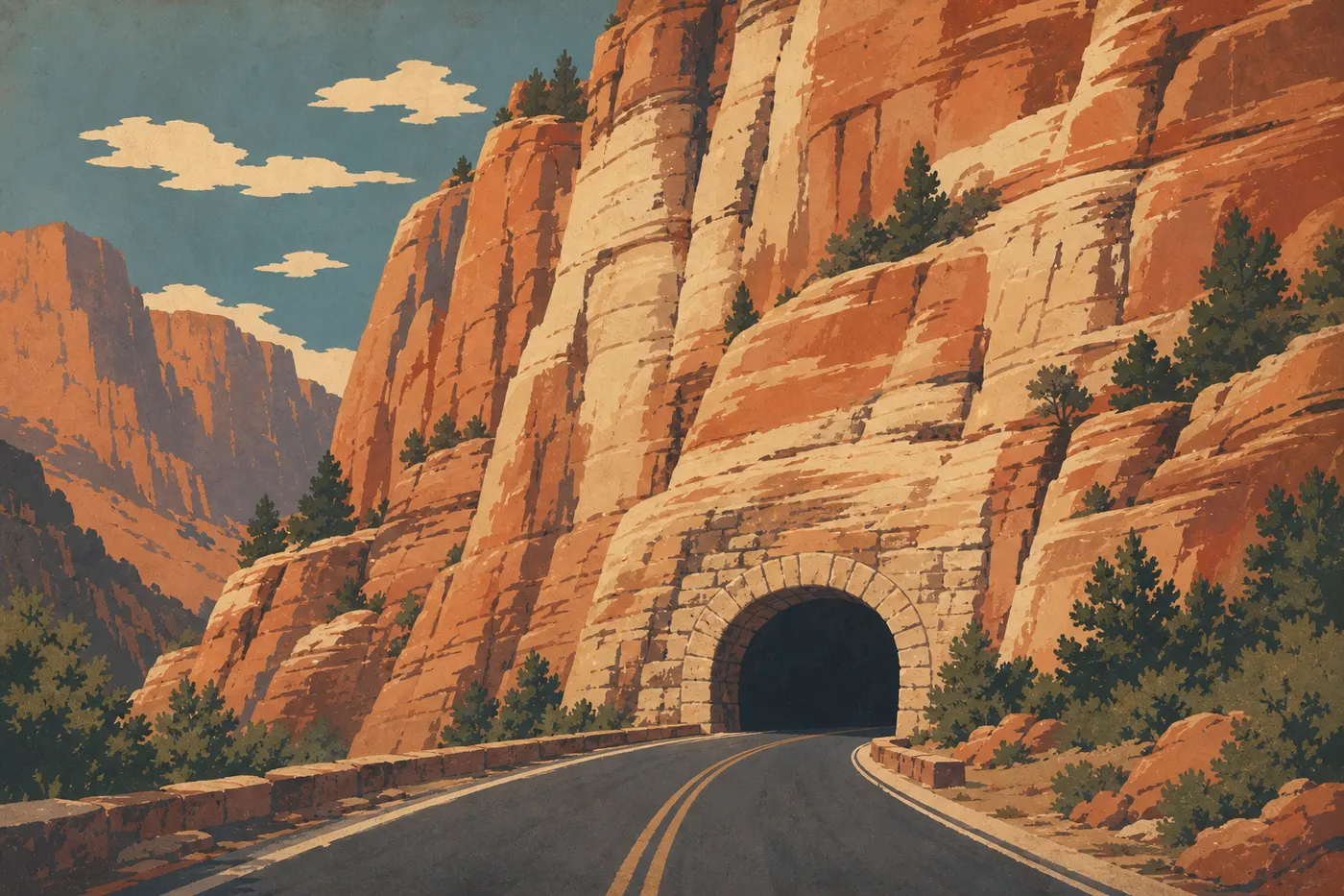
Zion-Mount Carmel Highway crosses the park from west to east and is open to private vehicles, unlike the Scenic Drive. There are two highlights you shouldn't miss.
Zion-Mount Carmel Tunnel. Built in the 1920s, it is 1.1 miles long and was one of the longest road tunnels in the United States when it was constructed. Motorhomes and RVs above certain dimensions must pay an additional fee at the entrance to use alternating traffic control. From the tunnel's projecting windows, known as the galleries, you can look down into the canyon from an unexpected angle. Many visitors miss it because they're looking at their phones.
Canyon Overlook Trail. This 1 mile round-trip trail starts just beyond the tunnel's east exit. The climb is short but steep, taking about twenty minutes, and the final view from the cliff edge is one of the most photographed in the park. If you've only got an hour, don't want to deal with the Zion Canyon shuttles, and want a memorable view without complicated logistics, this is the place.
Checkerboard Mesa. Near the east entrance, sandstone domes display a natural grid formed by cross erosion. It's a ten-minute photo stop, but hard to miss because the pattern is so startling. For a moment, you might wonder whether someone drew it with a stencil.
Kolob Canyons
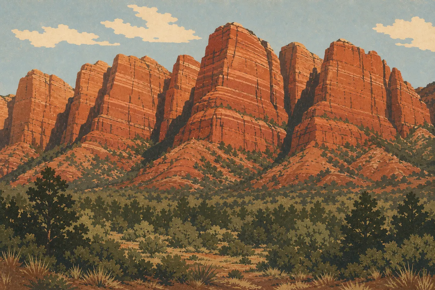
You enter this area from a separate exit off I-15 (exit 40), about a 45-minute drive from Zion Canyon. This is the park's great forgotten corner, which is exactly why we encourage you to go. Kolob's canyons are parallel cuts carved into a red mesa, made of the same Navajo sandstone as Zion Canyon, but with a radically different profile: more austere, more peaceful, and with far fewer people on the trails.
Kolob Canyons Road (5 miles one way, a scenic drive) ends at Timber Creek Overlook, a short 0.5-mile round-trip trail with a 180-degree view of the Kolob fingers. We hiked it one evening in May, with orange light on the blood-red walls and nothing but the wind breaking the silence. It was one of the unexpected highlights of the visit.
Farther into the area, accessible only on foot, Kolob Arch is one of the largest natural arches in the world, with a span of about 300 feet. Reaching it requires an 8.7-mile round-trip hike on the Kolob Canyons Trail. Our Zion hiking guide covers the access and the level of difficulty.
Kolob Terrace Road
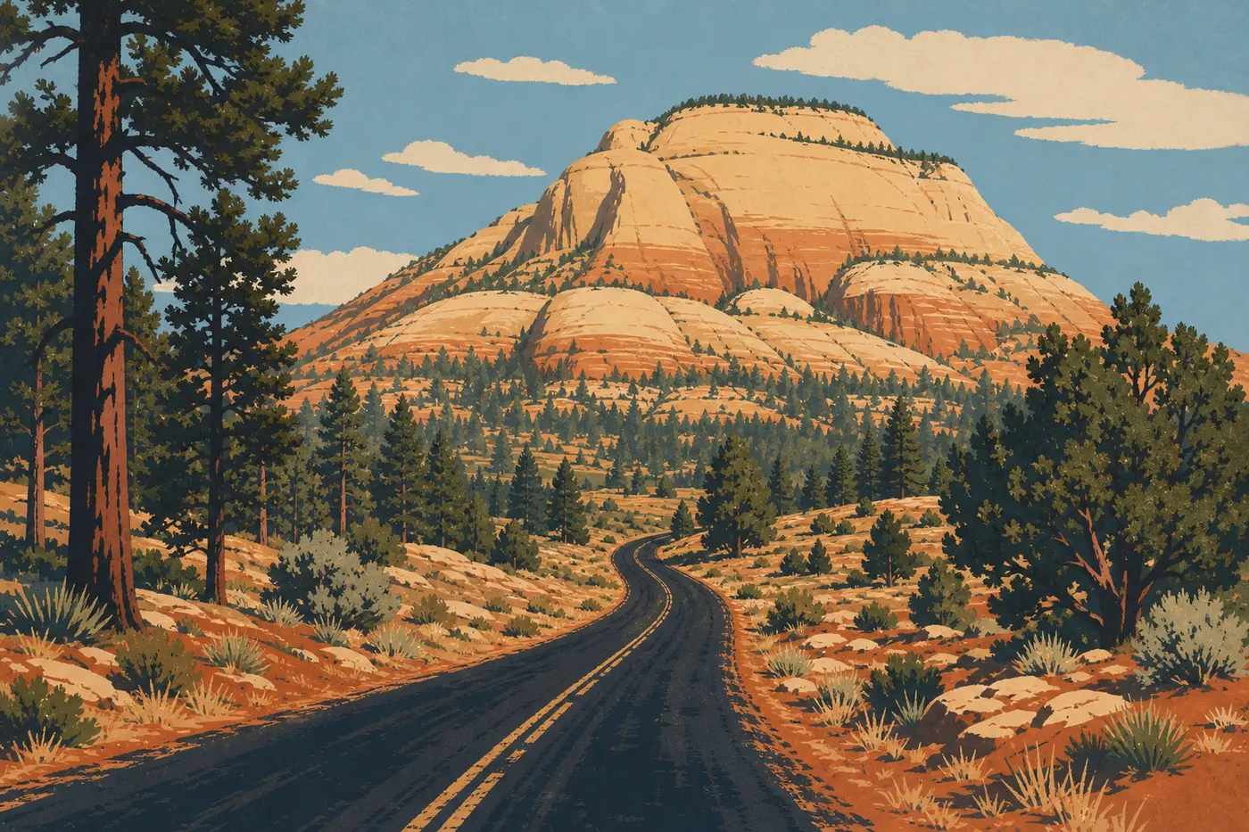
This little-known secondary road starts in the town of Virgin, west of the park, and climbs toward the plateau through the northern part of the park. It opens access to areas that almost none of the visitors ever see. Check conditions before you leave. The road may be partially closed in winter or after heavy rain.
Its main attraction is The Subway, a water-polished tubular canyon forming an almost perfect corridor, with translucent pools at the bottom. It's one of Zion's most widely reproduced photographs. To reach it, you need a permit, obtained either through the lottery or by same-day assignment at the Visitor Center, as well as rope work and rappelling for the technical version. The nontechnical, out-and-back version is more accessible but still long. It's a second-visit goal, once you've got the park logistics down.
Zion's Best Hikes
Zion is first and foremost a hiker's park, and its trails cover the full range, from a 30-minute paved family walk on Riverside Walk to the multi-day traverse through The Narrows from Chamberlain's Ranch. The classics to remember are Angels Landing (chains, with a permit required for the final section), The Narrows upstream from Temple of Sinawava (walking in the water, with waterproof gear recommended), Emerald Pools (three levels, family-friendly), Canyon Overlook Trail (short and scenic, ideal if you want to avoid the shuttle), Observation Point (the highest day-hike panorama), and The Subway (permit required, technical).
Our Zion hiking guide covers every trail, including elevation gain, duration, difficulty, required permits, and the best season to go.
Other Activities by Traveler Type
Wildlife watching. Zion is home to the California condor, reintroduced to the region after nearly going extinct in the 1980s. With a little patience, you may see them gliding above the cliffs, with wingspans of more than 8.9 feet. Mule deer frequent the canyon early and late in the day. You don't need to go far; you'll regularly see them near the Lodge. Collared lizards, small reptiles with brilliantly colored markings, show up on the warm rocks near the east entrance. Slow down as you pass Temple of Sinawava at dawn.
Biking. Pa'rus Trail is the park's only official bike path. It runs 3.1 miles one way on asphalt and gravel along the Virgin River from the Visitor Center to Canyon Junction. Bikes are allowed on roads open to general traffic, including UT-9 and Kolob Canyons Road, but not on the Scenic Drive. Mountain biking is not allowed on hiking trails.
Photography and stargazing. Zion has Dark Sky certification, recognizing its protected night sky. Away from major cities, moonless nights are spectacular. The best spot is near the east entrance, with your back to the tunnel, where the Milky Way rises over the Checkerboard Mesa domes in summer. For daytime photography, the canyon looks its best in the late afternoon, when low-angle light brings out the red in the sandstone.
Technical canyoneering. Zion's canyons, including Mystery Canyon, Pine Creek Canyon, and Imlay Canyon, rank among the most renowned in the United States for rope-based canyoneering. They require equipment such as a rope, a wetsuit depending on the season, and a rappel system. Some also require a permit. Local guides offer guided trips from Springdale for beginners.
For families. Riverside Walk, Lower Emerald Pool, and Canyon Overlook Trail work for kids who are old enough to walk. The shuttles are a hit with little ones, and the Junior Ranger Program, with a free booklet at the Visitor Center, keeps kids ages 6 to 12 busy. Our Zion family guide covers the options by age.
Swimming. Swimming in the Virgin River isn't formally prohibited, but it's discouraged in most areas of the park because of unpredictable currents, flash floods, especially during the July-to-September monsoon storms, and slippery rocky bottoms. In The Narrows, you move through water that may reach your knees or thighs depending on the river level, but you don't swim. Always check the river level and flash-flood alerts before entering the river, whatever the season.
What to Do Around Zion
Zion sits at the center of one of the densest road-trip routes in the United States. Within a 3- to 4-hour drive, you'll find an unmatched concentration of national parks.
- Bryce Canyon National Park (about 1.5 hours northeast): orange hoodoos and a moonlit-cathedral atmosphere, radically different from Zion
- Grand Canyon, North Rim (about 2.5 hours south): much less crowded than the South Rim, open only from mid-May to mid-October
- Capitol Reef National Park (about 3 hours northeast via Bryce): the Waterpocket Fold and sandstone cathedrals in a park that still feels under the radar
- Las Vegas (about 2.5 hours southwest): the classic logistics hub for flying to Zion without making the trip from Salt Lake City
Their proximity makes this a natural road-trip destination in the American Southwest.
The Bottom Line: What Should You See First in Zion?
If you've only got one day, focus on Zion Canyon by shuttle. Ride to Temple of Sinawava for Riverside Walk, stop at Weeping Rock, and finish with Court of the Patriarchs. That's already a lot.
With two days, add Angels Landing early in the morning, or plan your permit ahead of time, and explore UT-9 with Canyon Overlook Trail in the late afternoon.
Three days or more? Kolob Canyons deserves a full half-day, and hiking upstream through The Narrows from Temple of Sinawava ranks among the most memorable experiences we've had in an American national park.
Is Zion worth it? Honestly, yes. It may be the park that wins you over fastest, within your first hour in the canyon. The vertical scale is immediate, physical, and almost intimidating. You don't need to hike 6 miles to understand why this is one of the most visited national parks in the country.
Frequently Asked Questions
How long do you need to visit Zion?
Visiting Zion takes at least two days to cover the highlights of Zion Canyon. Three days let you add Kolob Canyons and hike without rushing. Four days open up more demanding trails such as The Subway or the full descent through The Narrows.
What should you do in Zion?
Zion's must-do activities include hiking up The Narrows with your feet in the Virgin River, hiking to Angels Landing with a permit for the chain section, visiting Emerald Pools, taking Canyon Overlook Trail from UT-9, and exploring Kolob Canyons. Don't miss California condor watching, technical canyoneering, and nighttime photography under a certified Dark Sky.
Can you swim in Zion National Park?
Swimming in Zion National Park is discouraged outside of water-hiking situations. The Virgin River is subject to flash floods, especially during the mid-July-to-September monsoon season. In The Narrows, the water may reach your knees or thighs, but this isn't a swimming area. Always check NPS alerts about river levels before entering.
Which hike should you do in Zion?
The best Zion hike depends on your fitness level. Beginners and families can choose Riverside Walk, a flat 1.9-mile round trip, or Lower Emerald Pool. Those looking for a real challenge and the best views can choose Angels Landing, with a permit for the chain section, or Observation Point. For an unusual experience in the river, hike upstream through The Narrows from Temple of Sinawava. Our Zion hiking guide covers every option, including elevation gain, duration, and required permits.