
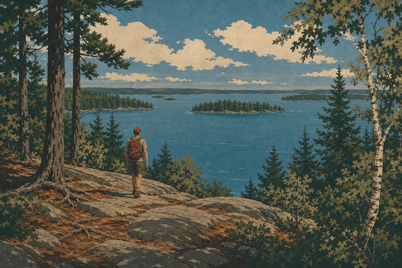
Hiking in Voyageurs: Best Trails by Difficulty and Access
Voyageurs is a water-based park first and foremost. With more than 407 miles of shoreline, around 900 islands, and a large roadless interior peninsula, this setting completely changes how you approach hiking. The land trail network is intentionally modest, but what it offers is cohesive and almost crowd-free: birch and spruce forests, lakes tucked into the interior, and northern light unlike anything else.
If you only do one hike in Voyageurs, make it the Cruiser Lake Trail on the Kabetogama Peninsula. It crosses the wild heart of the park for more than 9 miles and is accessible only after a boat ride from the visitor centers. If you want to hike without taking a boat first, the Oberholtzer Trail in the Rainy Lake area is the straightforward choice. It is short, starts right at the visitor center parking lot, and immediately immerses you in the boreal forests of northern Minnesota. For a moderate alternative, the Blind Ash Bay Trail in the Ash River area is about 3.1 miles round-trip and offers a rewarding sense of distance without the boating logistics.
How to Prepare for a Hike in Voyageurs
Day permits: You don't need a permit for day hikes in the park. Backcountry camping on the Kabetogama Peninsula does require a free permit, which you should reserve in advance on Recreation.gov during the busy season.
Wildlife: Voyageurs is home to black bears, moose, wolves, and lynx. Stay at least 100 feet from deer and other large ungulates, and 300 feet from bears. On wooded trails, talk out loud to let bears know you're there. A moose with a calf poses a serious risk. Go around them without approaching, even if it adds distance to your route.
Dogs: Dogs are allowed on land trails when leashed, with a maximum leash length of 6 feet. Some boats and areas of the park are off-limits to them. Check the current rules at the visitor center before setting out.
Water and supplies: There are no potable water sources on the trails. Bring your own water or a filter. Lake water isn't safe to drink without treatment.
Insects: From May through early August, mosquitoes and blackflies can be intense. Bring DEET-based repellent and a wide-brimmed hat.
Ice and off-season safety: The lakes usually break up around May 3. In early spring and late fall, ice near the shoreline can be dangerously thin. The park is open 24 hours a day year-round, but services are limited outside the main season. Always leave your itinerary before heading out.
For complete rules covering fires, trash, and camping, check with the visitor centers or visit the official NPS website before your trip.
The Best Hikes, Area by Area
Rainy Lake Area: Trails on the Northwest Shore
Oberholtzer Trail Distance: about 1.8 miles · Elevation gain: minimal · Difficulty: easy · Type: out-and-back
This trail starts right at the Rainy Lake Visitor Center and follows the shoreline before heading into a mixed boreal forest. It ends at a view of Rainy Lake, whose opposite shore is already in Canada. When we hiked it one July morning, we heard common loons calling from the trail. It's the kind of detail that sets the scene in the North Woods. Trailhead: Rainy Lake Visitor Center parking lot, off County Road 11 in International Falls. Tip: aim for midmorning in July, when mosquitoes are less active.
Trails Around Black Bay Distance: about 2.5 miles · Elevation gain: virtually none · Difficulty: easy · Type: loop
This area winds around beaver ponds along Rainy Lake. You can see the dams and lodges easily, and the animals are often active in the evening. It's a good choice for a first wildlife outing with kids. Trailhead: from the Rainy Lake Visitor Center parking lot, follow the marked trails toward Black Bay.
Kabetogama Lake Area: Overlook and Central Forests
Kabetogama Lake Overlook Trail Distance: about 0.3 miles · Elevation gain: minimal · Difficulty: very easy · Type: out-and-back
This very short trail runs from the Kabetogama Visitor Center to an overlook above the lake. It's ideal for a break during a day on the water or for families with very young children. Trailhead: Kabetogama Visitor Center parking lot, off County Road 122.
Ash River Area: Forests and Remote Bays
Blind Ash Bay Trail Distance: about 3.2 miles · Elevation gain: minimal · Difficulty: moderate · Type: out-and-back
This is one of the most interesting trails accessible by road from the park's southern side. It crosses a dense forest of pine and spruce before emerging at a secluded bay on Kabetogama Lake. The terrain is gently rolling, with roots and a few wet spots after rain. You'll regularly see signs of wildlife, including moose tracks in the mud and otters along the shore. Trailhead: parking area on Ash River Trail Road, near the Ash River Visitor Center. Tip: waterproof shoes help, especially in June and September.
Kabetogama Peninsula: Remote Backcountry by Boat Only
The Kabetogama Peninsula is the heart of the park: a vast roadless peninsula dotted with interior lakes and home to wolves, bald eagles, and river otters. To hike there, you'll need to reach the trailheads by boat from a visitor center. Seasonal paid shuttles are available, or you can rent a boat from local marinas.
Cruiser Lake Trail Distance: about 9.3 miles · Elevation gain: low to moderate, on Canadian Shield bedrock that is mostly flat with a few exposed ridges · Difficulty: moderate to strenuous · Type: one-way
Voyageurs' signature trail runs the length of the peninsula, passing several interior lakes, including Cruiser Lake. Precambrian bedrock is often exposed, so watch for wet surfaces that can be slick even with shoes that have good tread. You can combine this trail with a night of backcountry camping for two days in a nearly visitor-free landscape. Trailheads are accessible only by boat from the Kabetogama Lake and Rainy Lake areas.
Locator Lake Trail Distance: about 3.1 to 3.7 miles from shore · Difficulty: moderate · Type: out-and-back
This spur leaves the Cruiser Lake Trail and is ideal for a half-day on the peninsula without committing to the entire route. Quiet and secluded Locator Lake offers good chances to see common loons on the water in the evening.
Easy Hikes That Are Great for Families
The trails you can reach on foot from the visitor centers work best for families with young children and for anyone seeing the park for the first time:
- Oberholtzer Trail (Rainy Lake, 1.9 miles round-trip): flat, starts at the visitor center, and rewards you with a lake view.
- Trails Around Black Bay (Rainy Lake, about 2.5 miles): flat terrain and beaver dams that make the hike especially tangible for kids.
- Kabetogama Lake Overlook Trail (0.3 miles round-trip): an easy stop when you're visiting the Kabetogama Visitor Center.
For families with kids 8 and older, Blind Ash Bay Trail in the Ash River area is a rewarding, accessible half-day hike. One useful detail: no trail in Voyageurs is designed for strollers or wheelchairs. The surfaces are natural, including dirt, rock, and roots.
The Family Guide to Voyageurs covers kid-friendly activities in the park beyond hiking.
Strenuous Hikes: A Day on the Peninsula
If you're willing to combine a boat ride with a hike, the Kabetogama Peninsula opens up a landscape unlike any other in the park. The full Cruiser Lake Trail, about 9.3 miles one way, makes for a demanding day on ancient bedrock.
For a shorter day, lasting about 6 hours, take a shuttle to the trailhead, hike the first half of Cruiser Lake Trail to Cruiser Lake, have a picnic on the shore, and catch the shuttle back in the late afternoon. This outing works for a fit hiker without specific backcountry experience.
Keep three things in mind for this outing:
- The park has no shelters or rapid emergency response service on the peninsula. Bring a first-aid kit, extra food, and a satellite or radio communication device.
- Wet Canadian Shield rock is slippery. High-top hiking shoes are recommended.
- Leave your itinerary with the visitor center before you go. Include your expected return time and drop-off location.
For the views, the exposed bedrock ridges along Cruiser Lake Trail look out over the interior lakes and make the effort worthwhile. For wildlife, the area around Locator Lake in the late afternoon is one of the best spots along the route.
To learn more about watching moose, bears, and bald eagles, the Voyageurs Wildlife Guide explains how to behave around them and where to look in the park.
Trailhead Access and Parking
Each of the park's three road-accessible areas has a visitor center with free parking:
| Area | Road access | Trails accessible on foot |
|---|---|---|
| Rainy Lake | County Road 11 from International Falls | Oberholtzer, Black Bay |
| Kabetogama Lake | County Road 122 | Overlook Trail |
| Ash River | Ash River Trail Road | Blind Ash Bay Trail |
The visitor centers operate on seasonal schedules, generally with extended hours from May through September. Check current hours on the NPS website before your visit.
For trails on the peninsula, the park offers boat shuttles from the Kabetogama Visitor Center and Rainy Lake Visitor Center during the busy season. Prices and schedules are available on site. Private marinas around the park also rent motorboats and kayaks.
The Voyageurs Access Guide covers driving routes and transportation options from major cities in Minnesota.
When to Hike in Voyageurs
The ideal window runs from mid-June through early September: an average of 120 frost-free days, long daylight hours at this latitude, and dry trails.
July and August bring the most stable weather and the best conditions for combining hiking and boating. Daytime temperatures hover around 72 to 77°F. The first snow usually arrives in late October, and the last snow falls in April or early May.
September deserves special mention. The insects disappear, the foliage starts turning red and gold, and the low-angle light is excellent for photography.
For precipitation, month-by-month temperatures, and conditions in every season at Voyageurs, see the details in the When to Visit Voyageurs Guide.
Which Hike Is Right for You?
| Hiker profile | Recommended trail | Area |
|---|---|---|
| Beginner or family with children | Oberholtzer Trail (1.9 miles round-trip) | Rainy Lake |
| Family with experienced young hikers | Blind Ash Bay Trail (3.1 miles round-trip) | Ash River |
| Demanding day without a boat | Blind Ash Bay Trail + Black Bay trails | Ash River + Rainy Lake |
| Half-day in the backcountry | Cruiser Lake Trail (partial out-and-back, boat shuttle) | Peninsula |
| Two days in the backcountry | Cruiser Lake + Locator Lake + camping | Peninsula |
| Wildlife and photography | Black Bay area in the evening or Locator Lake | Rainy Lake / Peninsula |
For lodging before or after your hike, the Complete Voyageurs Guide and the Voyageurs Lodging Guide cover the options in the area.
Frequently Asked Questions
What's the best hike in Voyageurs?
The best hike in Voyageurs depends on how you plan to get there. Without a boat, Oberholtzer Trail from the Rainy Lake Visitor Center is the straightforward choice. With a boat ride, Cruiser Lake Trail on the Kabetogama Peninsula offers the park's wildest and most immersive experience.
Is hiking in Voyageurs difficult?
Hiking in Voyageurs isn't technically difficult. Elevation gains are low and the trails are well marked. The main challenge is logistics. The best trails on the peninsula require a boat ride first, and ancient bedrock can be slippery in wet weather. High-top shoes are still recommended.
Is it safe to hike in Voyageurs?
Hiking in Voyageurs is safe as long as you prepare properly. The main risks are wildlife, including black bears, moose, and wolves, heavy insect activity from May through July, and the remoteness of the peninsula, where help may take time to arrive. Always leave your itinerary with the visitor center and carry a communication device.
Do you need a permit to hike in Voyageurs?
You don't need a permit for day hikes in Voyageurs. A free permit is required for backcountry camping on the peninsula, and you must reserve it in advance on Recreation.gov.
Are there easy or family-friendly hikes in Voyageurs?
Yes. Oberholtzer Trail, the trails around Black Bay, and Kabetogama Lake Overlook Trail are Voyageurs' easy trails. You can reach them on foot from the visitor centers, and they're suitable for kids around age 5 and older.
Can you hike with your dog in Voyageurs?
You can hike with your dog on Voyageurs' land trails as long as it's leashed, with a maximum leash length of 6 feet. Some areas and boats remain off-limits to pets. Ask at the visitor center about current restrictions before you leave.
When is the best time to hike in Voyageurs?
The best time to hike in Voyageurs is from mid-June through early September. July and August offer the most stable weather and the longest days. September is ideal for fall color and fewer insects. See our When to Visit page for more details.
Are there loop hikes in Voyageurs?
Yes. The trails around Black Bay in the Rainy Lake area form the most accessible road-accessible loop, about 2.5 miles long. On the peninsula, some trail combinations can create loops, but you'll need a boat to reach the trailheads.
How do you reach Voyageurs trailheads?
You can reach Voyageurs trailheads by road via County Roads 11 for Rainy Lake and 122 for Kabetogama Lake, as well as Ash River Trail Road for Ash River. Parking is free at all three visitor centers. For the peninsula, the park runs seasonal boat shuttles. Our Access and Transportation page brings together all the practical information.
Which trails are best for wildlife or views in Voyageurs?
For wildlife, the trails around Black Bay are best in the evening for beavers, otters, and birds. Around Locator Lake on the peninsula, you may see common loons and bald eagles. For views, the exposed bedrock ridges along Cruiser Lake Trail look out over the peninsula's interior lakes and are unlike anything else in the park.