
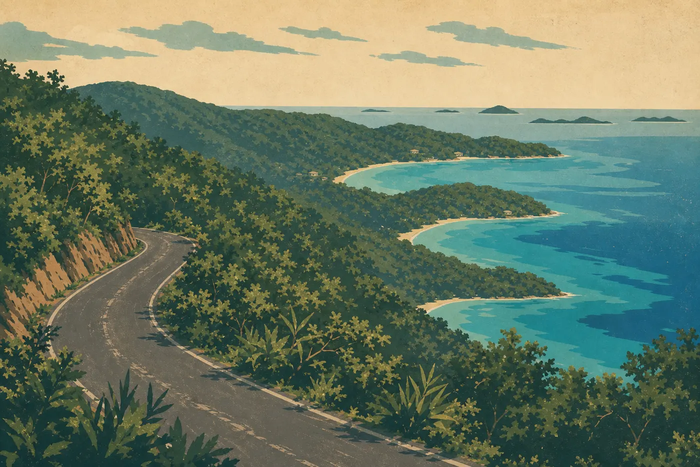
Virgin Islands Itinerary: What to See in 1, 2, or 3 Days
Virgin Islands National Park covers about 60% of St. John, in the U.S. Virgin Islands. It's a compact park with no airport on the island and no north-south crossing road. You get there by ferry from St. Thomas, get around by rental car or safari taxi, and balance beaches, hikes, and snorkeling. The logistics are simple once you understand them. The time-consuming part is choosing between the coves.
In a nutshell: two full days are enough to see the highlights, including the north and south coasts. Three days let you add Coral Bay, secondary hikes, and less crowded snorkeling spots. A full week works well if you want to cover the trails and dive beneath every cove.
How Much Time Do You Need for Virgin Islands National Park?
The park is small. You can drive across St. John from east to west in barely an hour. But the length of your stay isn't dictated by the park's size. It's dictated by the Caribbean pace and the sheer number of places worth taking your time to enjoy.
One day: doable as a day trip from St. Thomas. You'll see Trunk Bay and Cruz Bay. You'll leave having only skimmed the surface, quite literally.
Two days: the best compromise. Spend the first day on the north shore, with Trunk Bay, Cinnamon Bay, and Francis Bay, then head south for a hike on day two, including the Reef Bay Trail and Salt Pond Bay. You'll cover the highlights without rushing.
Three days: the ideal pace for adding Coral Bay, the wild beaches on the east side, and serious snorkeling on the reefs of Lameshur Bay.
Our complete guide to Virgin Islands gives you the big picture of what the park has to offer. To choose the right season, our Virgin Islands guide to when to go and park weather guide cover the trade winds, rainy season, and hurricane season, which runs from June through November.
Getting There, Park Entrances, and Getting Around
Reaching St. John
St. John has no airport. You land in St. Thomas at Cyril E. King Airport, then take a ferry from Red Hook to Cruz Bay in about 20 minutes. Our Virgin Islands access guide covers the ferry companies, schedules, and current fares.
Getting Around the Island
You drive on the left in St. John. A 4WD vehicle is recommended for the roads leading to Lameshur Bay during the rainy season. Safari taxis serve the north-shore beaches from Cruz Bay. Our guide to getting around St. John compares all the options and their fares.
Cruz Bay Visitor Center
This is the natural starting point for any visit. You can pick up the park's paper map, check trail conditions, and find out about any temporary closures.
Hours are Monday through Thursday, 8:15 a.m. to 4 p.m., and Friday, 8:15 a.m. to 1:30 p.m. It's closed on weekends, July 4, Thanksgiving, and Christmas. If you arrive on a Saturday morning, you can pick up a free paper leaflet at the entrance.
The Areas of Virgin Islands National Park
The park breaks down into three areas, each with its own way of exploring it.
The North Shore: Beach After Beach
This is the most visited, accessible, and photogenic area. North Shore Road follows a string of coves from Cruz Bay to Francis Bay, in order from west to east:
- Hawksnest Bay: less well known than its neighbors, making it ideal for uncrowded morning snorkeling.
- Trunk Bay: the park's iconic beach, with its marked underwater snorkeling trail. Signs beneath the water identify corals and fish. Arrive before 10 a.m. to avoid the tour groups.
- Cinnamon Bay: the park's largest beach, with a campground and a few facilities. It's a good base if you're staying in the park.
- Maho Bay: small and shallow, and frequented by green turtles grazing on seagrass.
- Francis Bay: at the end of the road, quiet and bordered by a lagoon that attracts birds, including herons, pelicans, and frigatebirds.
The South Shore: The Wild Side of the Park
It's less crowded than the north and harder to reach. Reef Bay Road and the side roads lead to beaches that are nearly deserted.
- Salt Pond Bay: accessible by car, with parking at the end of a decent road. The coral is in good condition. Bring water, since there are no facilities.
- Lameshur Bay: the most isolated beach. The final stretch of road is rough, but the reward is an almost untouched cove with some of the park's best-preserved reefs.
- Ram Head: a limestone promontory at the island's southern tip. The 1.9-mile round-trip hike from Salt Pond Bay offers 360-degree views of the British Virgin Islands and Puerto Rico on clear days.
Coral Bay and the East Side of the Island
Coral Bay is St. John's second village. It's a former fishing village that became a haven for sailors and long-term travelers. You'll find a few restaurants, a grocery store, and a laid-back feel that Cruz Bay has largely lost. The surrounding hills are covered in tropical forest, with lightly marked secondary trails.
The Marine Area
One-third of the park lies underwater. Coral reefs, seagrass beds, and underwater caves make snorkeling accessible from the beach at nearly every cove on the north shore. Our Virgin Islands wildlife guide lists the species found here and the best conditions for spotting them, including green turtles, rays, barracuda, and parrotfish.
Day-by-Day Itinerary
Day 1: Cruz Bay and the North Shore
Morning. Start at the Cruz Bay Visitor Center to pick up a map and check trail conditions. Take North Shore Road east. First stop: Hawksnest Bay, for snorkeling in calm, clear water before the groups arrive.
Continue to Trunk Bay. The marked underwater trail works for all skill levels. If you don't have your own gear, you can rent it there, but supplies are limited. Check ahead before counting on it.
Lunch. Have a picnic at Cinnamon Bay, with tables near the campground, or make a quick trip back to Cruz Bay for lunch in town. Our Virgin Islands restaurant guide lists the local spots worth checking out.
Afternoon. Head to Maho Bay to watch the turtles. Afternoon is often a good time, once the morning groups have left. Finish at Francis Bay in the late afternoon for birds and evening light. Return to Cruz Bay via Centerline Road, which crosses the island's interior. At this time of day, we've spotted St. John deer along the road several times.
Day 2: The Reef Bay Trail and the South Shore
Morning. Set out early for the Reef Bay Trail. The trailhead is at a parking area on Centerline Road, halfway up the island. The trail descends through wet forest toward the south shore, with two notable stops: the ruins of an 18th-century sugar mill and petroglyphs carved into the rock by pre-Columbian peoples. Allow 3 hours round-trip, including breaks. Our Hiking page covers the descent profile, trail markers, and water sources.
Afternoon. Drive to Salt Pond Bay, about 15 minutes away. Snorkel the reefs, then optionally climb Ram Head for the views. The neighboring islands are worth seeing in the late afternoon, when the low sun colors the limestone cliffs.
Have dinner in Coral Bay, a 20-minute drive east. The atmosphere is more local than Cruz Bay, and prices are often more reasonable.
Day 3: Coral Bay, Lameshur Bay, and Open-Ended Snorkeling
Morning. Take a slow morning in Coral Bay. Grab coffee, check out the local market if you happen to be there on the right day, or rent a sea kayak to explore the bay. That's Coral Bay's pace: there's no need to hurry.
Afternoon. Head to Lameshur Bay via the south road. It's bumpy and requires your full attention, but the cove is almost always empty. The Lameshur reefs are known for their healthy coral and regular green turtle sightings. Bring water, a snack, and everything else you'll need. There's nothing on site.
Return to Cruz Bay in the late afternoon. If you're flying out of St. Thomas that evening, plan to reach the ferry at least an hour before the last departure.
Options Based on Your Time
Express, 1 day. Take North Shore Road from end to end. Visit Trunk Bay in the morning, before 9:30 a.m., Cinnamon Bay for lunch, and Francis Bay in the late afternoon. It's a condensed version with no hike or south-shore stop, but it covers the iconic beaches.
Classic, 2–3 days. Follow the day-by-day itinerary above. It's the best formula for a first visit.
Extended stay, 4 days or more. Add a boat trip to nearby cays, such as Buck Island or the uninhabited cays in the bay. You might also spend half a day in Charlotte Amalie for a change of scene. The capital of the U.S. Virgin Islands is worth visiting for its colonial fort and duty-free shopping.
To combine St. John with other American Caribbean destinations, our Road Trips and Regions guides will suggest multi-island itineraries.
Itinerary Map
The NPS provides an official Unigrid map, available free at the Cruz Bay Visitor Center and for download from the park's website. It covers St. John, land trails, accessible beaches, and mooring areas. Our Map page offers an annotated version with trailheads and parking areas.
Tip: download the map ahead of time. Cell service is unreliable in the park's remote areas, especially at Lameshur Bay and on the Ram Head Trail.
Where to Stay Along the Itinerary
Cruz Bay has most of the accommodations, including rental villas, small hotels, and guesthouses. Coral Bay offers a few more budget-friendly options in a more local setting. The park's only campground is Cinnamon Bay Campground on the north shore. Our Where to Stay page compares all the options, and our Camping page covers reservations, which you should make several months ahead during the high season.
Extending Your Trip: What to See Around the Park
St. Thomas and Charlotte Amalie
Just 20 minutes by ferry, Charlotte Amalie is the capital of the U.S. Virgin Islands. See Fort Christian, built in the 17th century, take in the view from Paradise Point, and browse the duty-free shops in the historic center. Half a day is enough for a stopover.
Nearby Cays and Marine Areas
Boat trips from Cruz Bay or Coral Bay let you explore undeveloped cays and offshore dive sites. Local operators offer guided snorkeling and scuba-diving trips.
Expanding Into the Region
The U.S. Virgin Islands form an archipelago with St. Croix, about 40 miles south, and St. Thomas. Adding the British Virgin Islands, less than an hour away by ferry, requires another level of planning. Our Regions guides will cover these multi-island combinations.
The Ideal Itinerary for Your Time
| Length | What you'll see | What you'll miss |
|---|---|---|
| 1 day | Trunk Bay, Cinnamon Bay, Francis Bay | South shore, hikes, Coral Bay |
| 2 days | + Reef Bay Trail, Salt Pond Bay, Ram Head | Lameshur Bay, Coral Bay |
| 3 days | + Coral Bay, Lameshur Bay, open-ended snorkeling | Boat trips, cays |
Whatever your schedule, plan your mornings around the beaches, when the light is best and crowds are thinner, and your late afternoons around coastal hikes or overlooks. The park is compact, but it rewards anyone who takes the time to settle into it.
Frequently Asked Questions
How many days do you need to visit the U.S. Virgin Islands?
For Virgin Islands National Park alone, two full days cover the highlights. Three days let you explore at your own pace. To include St. Thomas and St. Croix, plan on at least a week.
How do you get to Virgin Islands National Park?
Fly to St. Thomas at Cyril E. King Airport, then take the ferry from Red Hook to Cruz Bay on St. John. The crossing takes about 20 minutes. Our Access & Transportation page covers the options and schedules.
Is it difficult to get to the U.S. Virgin Islands?
No. Many airlines serve St. Thomas from the U.S. East Coast. The main challenge is arranging the ferry connection after you land, especially with bulky luggage or a late flight.
What is the best month to visit the Virgin Islands?
The peak tourist season runs from December through April, with less rain, steady trade winds, and calm seas. The rainy season, from June through November, overlaps with hurricane season. Prices are lower and beaches are less crowded, but the weather risks are real. Our When to Go page compares the months in detail.
Can you drive across Virgin Islands National Park?
Not directly from one coast to the other. Centerline Road crosses the island from west to east, but it runs through the hills without direct access to the south-shore beaches. Side roads descend to Lameshur Bay and Salt Pond Bay from this main road.
Is Virgin Islands National Park worth the trip?
If you're looking for a national park with beaches, snorkeling, and tropical hikes, absolutely. It's one of the few parks in the NPS system where the sea is an integral part of the experience. It's not Yellowstone or the Grand Canyon. It's something else, and that's exactly the appeal.