
Theodore Roosevelt Map: Units, Roads, and the Official Park Map
Theodore Roosevelt National Park lies in the Badlands of western North Dakota and is divided into three distinct units spread along a roughly 68-mile north-south axis. Before you arrive, the official NPS PDF map is still the best way to get oriented. It's free to download from nps.gov, and we'll show you where to find it below after taking a full look at the park's different areas.
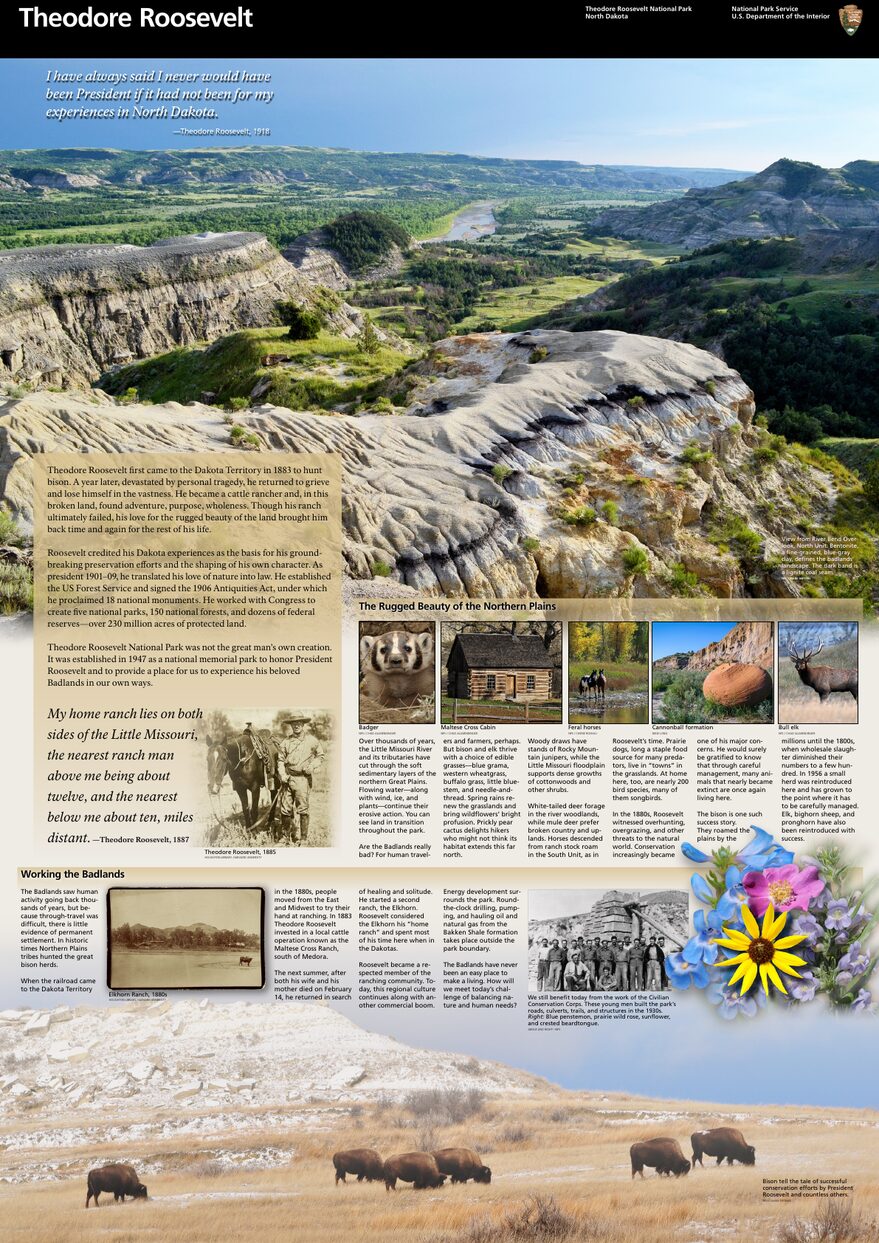
The official park map handed out at entrance stations, with roads, areas, visitor centers and services. View it here or download it for offline use.
Download the map (PDF) Public domain · National Park ServiceWhere Is Theodore Roosevelt National Park?
Theodore Roosevelt National Park is in North Dakota (ND), in the Badlands region along the Little Missouri River. On a map of the United States, it's at the far western edge of the state, about 56 miles west of Dickinson and roughly 140 miles west of Bismarck, the state capital.
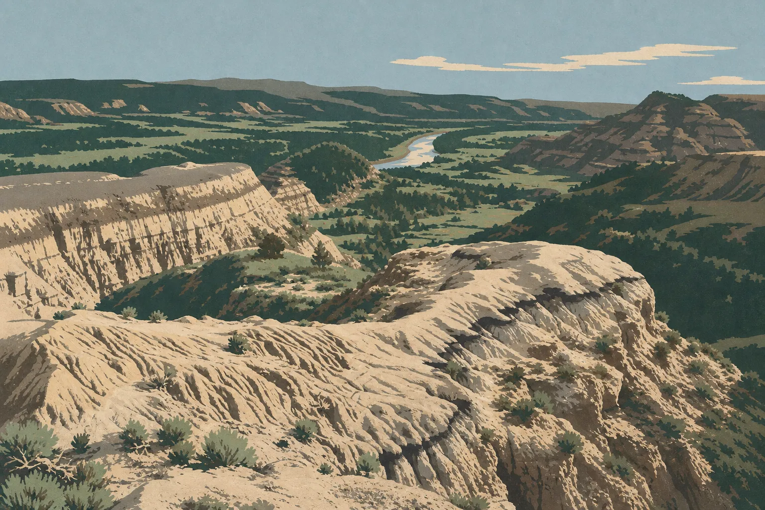
Millions of years of erosion shaped this landscape. Ochre and red buttes, striped mesas, and grasslands cut by steep valleys create the setting where Theodore Roosevelt, the 26th president of the United States, ranched in the late 19th century. The park honors him for his foundational role in American conservation policy.
To put the park in its broader geographic context, our complete Theodore Roosevelt guide provides the big picture.
Download the Official Theodore Roosevelt Map (NPS Unigrid)
The NPS publishes a free official PDF map known as the Unigrid map. It covers all three units and shows the roads, main trails, visitor centers, and campgrounds. To download it, go to the park's page on nps.gov and look for the “Maps” section.
One practical tip is to print it before you leave. Cell service is very spotty in the Badlands, and the map works without a connection.
The Park's Units
Theodore Roosevelt National Park is divided into three geographically distinct units. Here's how to read them on the map.
South Unit (southern unit)
This is the largest and most visited unit. The entrance is in the town of Medora, with direct access from Interstate 94 (exits 24 and 27). You'll find the main visitor center, Scenic Loop Drive, a roughly 28-mile scenic loop, several prairie dog towns, and the park's most photographed viewpoints.
There's a bonus before you even enter the park. Painted Canyon Overlook is accessible from I-94 (exit 32) without paying the entrance fee. It's often the first highlight for visitors arriving from the east.
For activities in this unit, see the Theodore Roosevelt activities guide.
North Unit (northern unit)
About 68 miles north of the South Unit, the North Unit is wilder and less crowded. You reach it via Highway 85. Its scenic road, about 24 miles round-trip, follows deeper canyons with colors that differ from those in the South Unit. They're darker and more contrasting.
Oxbow Overlook, at the end of the road, offers a sweeping view down to the river below. You'll encounter more hikers than drivers here, which gives the area a character of its own.
Elkhorn Ranch Unit
This is the least-known unit and, by far, the hardest to reach. No paved road leads there. You'll need to take dirt roads that are suitable only in dry weather. Rain turns Badlands clay into an uncontrollable slip-and-slide. The unit preserves Roosevelt's original ranch site on the Little Missouri River, with no facilities on site.
Park Entrances and Driving Between Units
Theodore Roosevelt National Park isn't designed to be driven from one end to the other. Its three units are separate, with no road connecting them inside the park.
South Unit: Enter from Medora via exits 24 or 27 off I-94. Scenic Loop Drive, about 28 miles long and partly one-way, passes the main points of interest.
North Unit: Enter from Highway 85, south of Watford City. The main road runs about 24 miles round-trip to Oxbow Overlook.
In winter, some roads may close because of snow. The park as a whole nevertheless stays open 24 hours a day, 365 days a year, even when entrance stations are closed.
For distances from major cities and driving times, the Theodore Roosevelt access guide has all the logistical details.
Map Highlights and Viewpoints
Before you leave, make a point of locating these features on your map:
South Unit: Painted Canyon Overlook (before the fee entrance, exit 32 off I-94), Buck Hill (the highest point, with a 360-degree panorama), Wind Canyon Trail, and Boicourt Overlook.
North Unit: Oxbow Overlook (at the end of the road, with a river view), Cannonball Concretions (unusual geological formations worth seeing), and Prairie Dog Town (at the unit entrance).
To see which ones to prioritize based on your interests, whether wildlife, photography, or hiking, our Things to Do page and the Theodore Roosevelt hiking guide describe each site, including trail distances and profiles.
Nearest Towns and Airports
For the South Unit: Medora (ND) is right at the park entrance. Dickinson, about 56 miles east on I-94, is the nearest town for services, with chain hotels and supermarkets. The most convenient airport is Dickinson Theodore Roosevelt Regional Airport (DIK), about 56 miles away, with flights from Denver and Minneapolis.
For the North Unit: Watford City, about 16 miles north on Highway 85, is the natural base for supplies and services. Williston, about 56 miles west, offers more services. The recommended airport is Williston Basin International Airport (XWA).
For lodging options near each unit, see the Theodore Roosevelt lodging guide and the park campground guide.
Paper Hiking Maps and Topographic Guides
The NPS Unigrid map covers the essentials for roads and overlooks. For backcountry trails, especially in the North Unit or toward the Elkhorn Ranch Unit, a 1:24,000 USGS topographic map is recommended. You can find these maps at bookstores specializing in travel cartography. The park's visitor centers also sell guides and maps.
Frequently Asked Questions
Where is Theodore Roosevelt National Park?
Theodore Roosevelt National Park lies in the Badlands of western North Dakota, about 56 miles west of Dickinson and roughly 140 miles west of Bismarck.
Can you download a map of Theodore Roosevelt National Park?
Yes. The official PDF map, the NPS Unigrid map, is available free on nps.gov in the “Maps” section of the park page. It covers all three units.
Can you drive through Theodore Roosevelt National Park?
The park isn't a through-route. Its three units are separate, with no road connecting them. Each unit has its own loop or scenic road, accessible from a separate entrance.
What's the best viewpoint in Theodore Roosevelt National Park?
Several sites stand out on the map: Buck Hill in the South Unit for a 360-degree panorama, Oxbow Overlook in the North Unit for a sweeping view down to the river, and Painted Canyon Overlook, accessible from I-94 without paying an entrance fee, for a dramatic first look.
What's the closest town to Theodore Roosevelt National Park?
The closest town is Medora (ND), right at the South Unit entrance. For the North Unit, Watford City, about 16 miles north, is the most convenient base.
How long does it take to visit Theodore Roosevelt National Park?
A single day is enough to drive the South Unit's scenic loop. Allow at least two days for the two main units. Our Theodore Roosevelt itinerary guide offers plans for different amounts of time.