
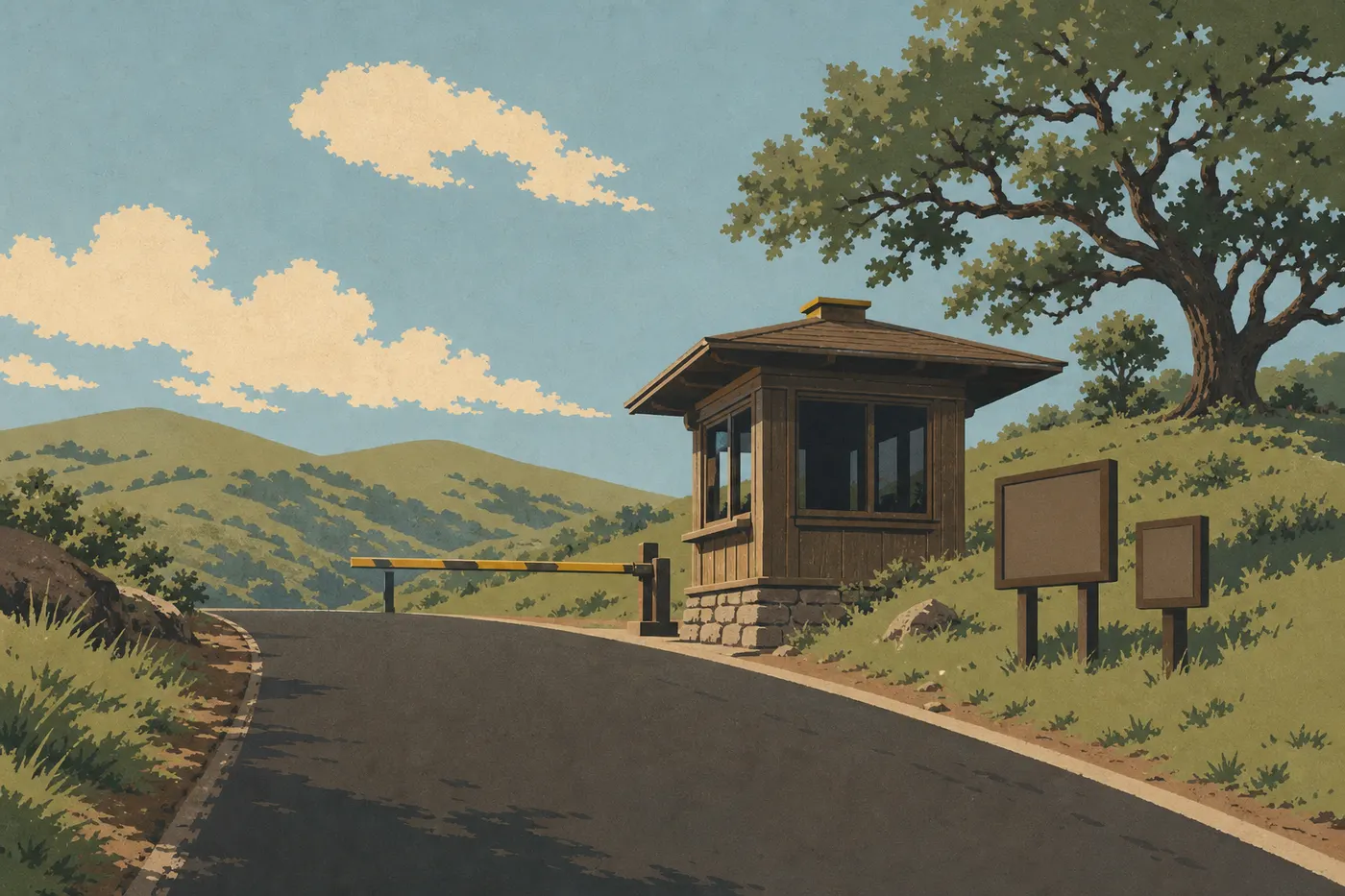
Getting to Pinnacles: Airports, Entrances, and Transportation
Pinnacles National Park sits in the Gabilan Mountains in central California, about 137 miles south of San Francisco. There's one logistical detail you need to know from the start: the park has two separate entrances, east and west, and no road connects them inside the park. Choosing the right entrance for your starting point can save you an hour or more of driving.
The short version: the nearest regional airport is Monterey (MRY), about 56 miles from the West Entrance. For most travelers coming through the West Coast, Pinnacles is a two- to four-hour drive, depending on where you land. You'll need a car because no public transportation serves the park.
Airports around the park (5)
- Airport Monterey Regional Airport MRY · 37 miles from the park · regional Directions ↗
- Airport Merced Regional Macready Field MCE · 66 miles from the park · regional Directions ↗
- Airport Norman Y. Mineta San Jose International Airport SJC · 73 miles from the park · international Directions ↗
- Airport Fresno Yosemite International Airport FAT · 83 miles from the park · international Directions ↗
- Airport San Luis County Regional Airport SBP · 92 miles from the park · regional Directions ↗
 Base map © OpenStreetMap · © CARTO
 Where to Fly: Which Airport for Pinnacles
The Nearest Regional Airport
Monterey Regional Airport (MRY) is the closest option to the West Entrance, about 56 miles via Highway 101 to Soledad, then Highway 146 east. The drive takes about 1 hour 15 minutes. MRY offers domestic flights from Los Angeles, San Francisco, and Phoenix. It's especially useful if you're combining Pinnacles with Big Sur or the Carmel area.
San Jose Mineta International Airport (SJC) is still the best all-around alternative. Domestic airlines serve it well, and it's 87 miles from the West Entrance and 93 miles from the East Entrance. Expect a 1 hour 45 minute to 2 hour drive, depending on which side you choose.
The International Hub
San Francisco International Airport (SFO) is one possible gateway for international visitors. Flight options depend on your departure point. From there, allow 2.5 hours to drive to the park, about 137 miles.
Oakland International Airport (OAK) is a slightly closer option with less congestion when leaving the airport. It's about 130 miles away, or a 2 hour 15 minute to 2.5 hour drive.
Los Angeles International Airport (LAX) works well if you're planning a road trip north from Southern California. It's 224 miles from the East Entrance, a 3 hour 45 minute to 4 hour drive.
Getting to Pinnacles for International Visitors
Depending on your departure airport, a connection may be needed to reach Monterey or San Jose. One option is to fly to San Francisco (SFO), then rent a car at the airport. Depending on where you're starting, you may connect through a major hub before continuing to SFO or LAX.
Some travelers fly into Los Angeles to start a road trip in Southern California, then head north to Pinnacles. This works well if you're combining the park with other Southern California parks.
You'll need to rent a car. For entrance fees and annual passes, the National Parks Fees & Passes page has the key details on admission and passes.
Driving Distances and Times from Gateway Cities
| Starting city | To the West Entrance (Soledad) | To the East Entrance (Highway 25) |
|---|---|---|
| San Francisco | ~137 miles / 2.5 hours | ~149 miles / 2 hours 45 minutes |
| San Jose | ~87 miles / 1 hour 45 minutes | ~93 miles / 2 hours |
| Monterey | ~56 miles / 1 hour 15 minutes | ~96 miles / 2 hours |
| Salinas | ~34 miles / 50 minutes | ~71 miles / 1.5 hours |
| Los Angeles | ~236 miles / 4 hours | ~224 miles / 3 hours 45 minutes |
| Fresno | ~140 miles / 2.5 hours | ~118 miles / 2 hours 15 minutes |
Estimates exclude traffic. Around San Jose and San Francisco, allow an additional 30 to 60 minutes during rush hour.
Pinnacles Entrances
West Entrance
You reach the West Entrance from Highway 101 at the Soledad exit, then follow Highway 146 east for about 8.7 miles.
One important warning: the western section of Highway 146 is narrow and winding, with some single-lane sections. Oversized vehicles, including RVs and trailers, and any other large vehicle should not use it. The NPS is clear about this: large vehicles must use the East Entrance. If you take the road anyway, you could get stuck with no way to turn around.
The West Entrance provides access to the Prewett Point, Balconies Cave, and Juniper Canyon trails.
East Entrance
You reach the East Entrance from Highway 25, between Hollister to the north and King City to the south. It's open 24 hours a day, 7 days a week, including holidays. This is the recommended entrance for all large vehicles.
On the east side, you'll find the main visitor center, the park campground, and trailheads for Bear Gulch Cave, High Peaks Trail, and Condor Gulch.
Keep this in mind: no road crosses the park from east to west. To explore both sides in one day, you'll have to leave the park and drive around on outside roads, adding 1 to 1.5 hours of driving. Plan around that, or stick to one side per day. Our Itinerary & Length guide can help you organize your trip.
Entrance Fee
Admission costs $30 per private vehicle, $25 for a motorcycle, and $15 per person arriving on foot or by bicycle. The America the Beautiful pass costs $80 per year and pays for itself after visiting two parks in a year. The National Parks Fees & Passes page has the key details on admission and passes.
Getting Around the Park
There is no internal shuttle connecting the two sides of the park. Once you've arrived on one side, you'll walk from the parking areas to the trailheads. Our Getting Around Pinnacles guide covers parking by area, peak hours, and practical tips for getting around.
Other Options: Guided Tour or Rideshare
Some operators offer day trips from San Jose, San Francisco, or Monterey. For people who don't drive or would rather not handle the trip themselves, this is the only practical alternative to renting a car. Check local tour platforms for available departures.
There is no regular bus service from Salinas, Hollister, or any other nearby city. Public transportation to the park is nonexistent.
From the Monterey Peninsula, Pinnacles fits easily into a day trip that combines other natural sites in central California.
In Summary: The Best Way to Reach Pinnacles from Your Starting Point
From San Francisco or San Jose, use the East Entrance via Highway 25. It's a direct route with no vehicle-size restrictions. From Monterey or Santa Cruz, the West Entrance via Soledad is shorter, as long as you're driving a compact vehicle. In an RV, use the East Entrance, no exceptions.
Whatever your plans, book your lodging ahead of time. Options immediately around the park are limited. Our Where to Stay guide lists options in the park, including the campground on the east side, and in the surrounding gateway cities.
Frequently Asked Questions
How do you enter Pinnacles National Park?
Pinnacles has two separate entrances, and no road connects them inside the park. You reach the West Entrance from Soledad via Highway 146. It's narrow and winding, and is intended for compact vehicles. You reach the East Entrance from Highway 25. It's open 24 hours a day, every day, for vehicles of all sizes.
Which airport should you use to visit Pinnacles?
The closest airport is Monterey (MRY), about 56 miles from the West Entrance, a 1 hour 15 minute drive. For international visitors, San Francisco (SFO) is one possible gateway. Allow about 2.5 hours to drive to the park.
How do you get to Pinnacles from abroad?
One option is to fly to San Francisco (SFO), then rent a car for the 2.5-hour drive. No public transportation connects California's cities with the park.
Is Pinnacles worth the detour?
It's one of California's least-visited national parks, which gives it a rare sense of quiet. Its lava caves, at Balconies and Bear Gulch, volcanic rock formations, and California condors make it a distinctive stop. Our complete Pinnacles guide gives you an overview before you go.
How much time do you need to visit Pinnacles?
One day is enough to explore one side of the park. To see both sides, plan on two days with a night nearby. Our Itinerary & Length page details the options for different schedules.
What's the best time to visit Pinnacles?
Spring, from March through May, is the ideal window, with mild temperatures, blooming vegetation, and active condors. Summer is very hot, with temperatures above 100°F. Fall remains pleasant but dry. Our When to Visit page compares the seasons month by month.