
Things to Do in Chiricahua: The Must-See Sights
In the southeast corner of Arizona, a forested mountain range rises out of the desert plains. Its slopes bristle with rock columns, spires and balanced boulders. Once a national monument, Chiricahua became the country's 64th national park and Arizona's fourth. Its boundaries haven't changed. The park is still compact, served by a single road, and best seen on foot.
The short version. Drive up to Massai Point to get a sense of scale, then walk Echo Canyon to move among the columns. Head back down to Bonita Creek and Faraway Ranch for the park's other side, greener and more lived-in. Sugarloaf Mountain offers a summit, and Heart of Rocks takes a full day of hiking.
Chiricahua at a Glance: Getting There and Getting Around
Everything in the park revolves around Bonita Canyon Drive. This paved road climbs about 8 miles from the entrance to Massai Point and then ends. It's a dead end, so you come back down the same way. Elevation rises from about 5,125 feet at the entrance to 7,310 feet at the summit of Sugarloaf Mountain. The upper park is often 5 to 10°F cooler and windier than the visitor center, so bring layers, even in good weather.
You'll need a car. No taxis or ride-hailing services serve the park, and the shuttle that used to drop hikers at the trailheads is no longer running. Cell service is spotty, so download maps and routes before you go. The park map helps you place each stop. Approach roads are covered in the Chiricahua access guide, and parking in the guide to getting around the park.
Entry is free and no pass is required. The campground charges a fee and takes reservations only (Chiricahua campground). Watch your vehicle size. The upper road is limited to vehicles up to 24 feet and closed to trailers, while some campsites accept up to 29 feet. Don't mix up those two numbers. The RV guide for Chiricahua sorts it out.
How Much Time to Plan for Chiricahua
A full day is enough to see the highlights. Two days let you add a long hike and an evening under the stars.
With half a day, stick to the road. Drive up to Massai Point, take a short walk to the Grottoes in Echo Canyon, then stop at Bonita Creek on the way down. With a full day, add the full Echo Canyon Loop and a stop at Faraway Ranch. Heart of Rocks is a day all its own, with 4 to 6 hours of hiking not counting breaks.
Factor in the drive too. From Willcox, a convenient base, it's about 45 minutes. The Chiricahua itineraries lay out each day.
What You'll See, From the Lower Park to the High Country
We follow the order of the terrain here. First comes the lower park around the visitor center, then the road that climbs, then the overlook, then the places you can only reach on foot.
The Lower Park: Visitor Center, Bonita Creek and Faraway Ranch
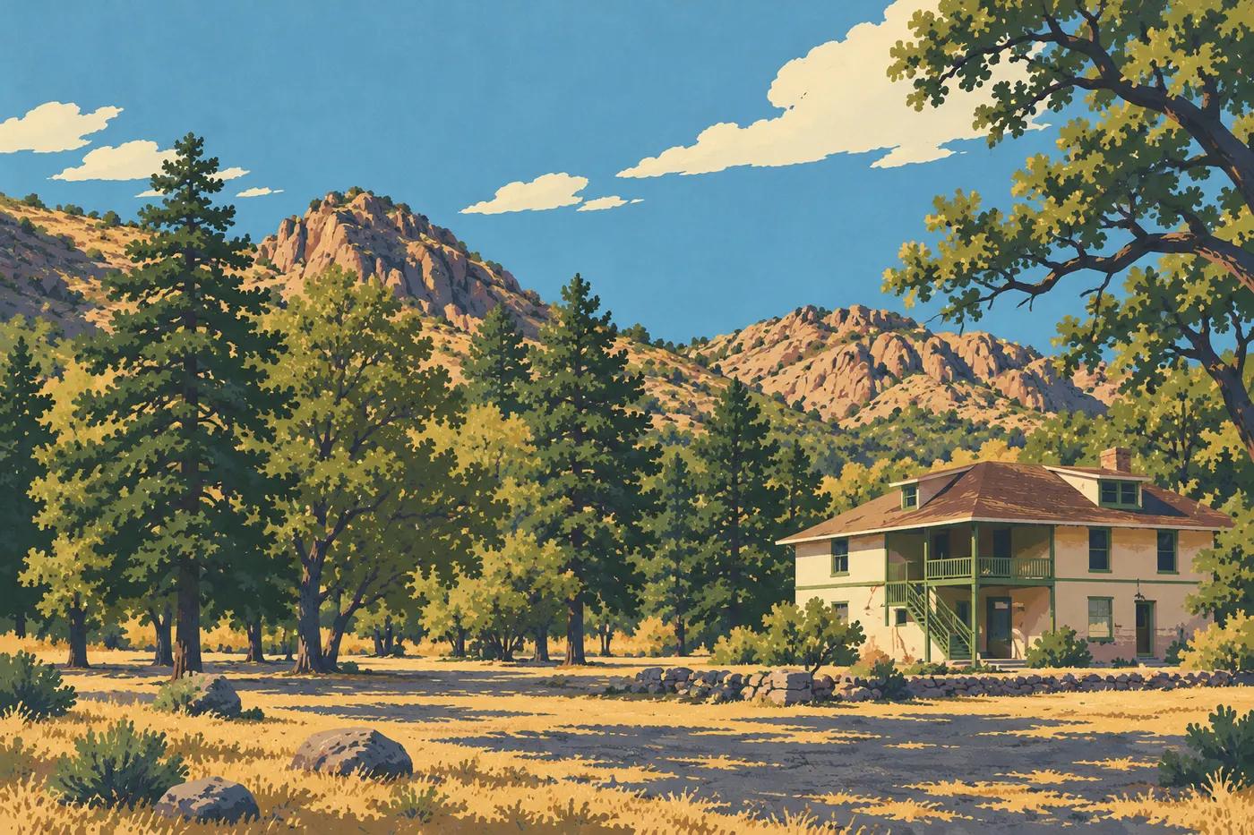
The visitor center is the logical first stop. The small museum covers the range's geology, wildlife and history, a film rounds out the visit, and kids can pick up the Junior Ranger booklet. Hours are usually 8:30 a.m. to 4:30 p.m., with exceptions on holidays. Fill your water bottles here, since there's no water at the Echo Canyon parking area.
Bonita Creek Loop is a 1,050-foot paved loop along the creek, with picnic tables nearby. It works for wheelchairs and strollers. The trees on the valley floor attract birds, but no species is guaranteed. The birds haven't read the brochure.
Faraway Ranch tells the story of the settlers who lived in the canyon. The Erickson family settled there, and their daughter Lillian and her husband Ed Riggs later turned the place into a guest ranch. Ed Riggs also laid out several of the park's trails, and one of them bears his name. A self-guided walk with signs circles the buildings. Don't count on an interior or guided tour.
Bonita Canyon Drive: Geology Along the Road
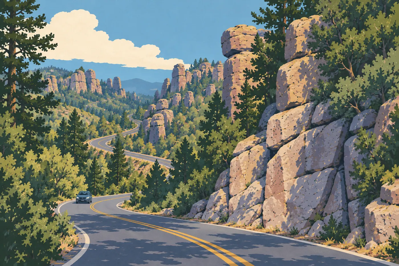
The columns you're looking at aren't basalt. They're rhyolite tuff, rock born from a violent volcanic eruption about 27 million years ago. The ash welded together, the rock fractured, and erosion then carved the cracks into pillars and balanced blocks.
The road has several stops with interpretive signs. The park recommends doing them on the way down, since they're easier to approach in that direction and you'll already have seen the view from the top. The road gives you views, but it's no substitute for walking among the towers. Think of it as an appetizer.
Massai Point: The Big Panorama
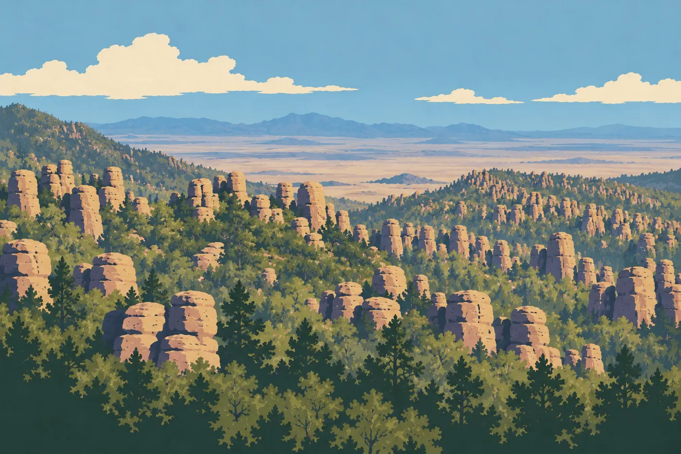
At the end of the road, Massai Point shows you the scale of the place. Your eye takes in the surrounding valleys and whole walls of columns, and there's a small exhibit and a few tables where you can catch your breath. The Massai Point Nature Trail, a loop of about half a mile, adds viewpoints and signs. Allow about half an hour. Only a stretch of about 525 feet may work for someone in a wheelchair with powered assistance, and the full loop isn't accessible to wheelchairs or strollers.
The spot is exposed to wind and sun, and several high trails start here. A jacket and water are well worth carrying.
Echo Canyon: Walking Among the Columns
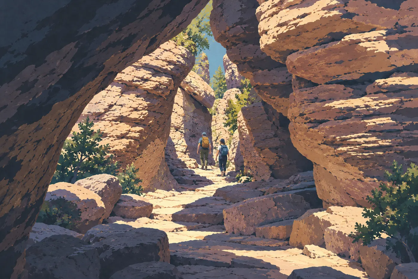
If you only hike once at Chiricahua, make it this one. Echo Canyon takes you between the formations instead of past them, with balanced boulders and narrow corridors. On the Hailstone Trail you'll also find spherulites, small concretions typical of this rock. The parking area is on the upper road, just before Massai Point.
Here are three options, depending on your time:
- The Grottoes, about half a mile from the parking area, give you a quick look at the passages between the rocks. Allow about an hour round-trip, photo stops included.
- The extension past the Grottoes, about 1.2 miles round-trip, takes you deeper in without committing you to the full loop.
- The full Echo Canyon Loop (Echo Canyon, Hailstone, Ed Riggs) takes 2 to 4 hours depending on your pace. The park recommends going counterclockwise for the best views of the rocks.
The terrain is rocky, with steps, so leave the stroller behind. The park advises against the Hailstone Trail if you're prone to vertigo.
Sugarloaf Mountain: The Park's Summit
You won't hike among the rock towers on Sugarloaf Mountain. This hike is about reaching the summit, with a fire lookout tower and 360° views from 7,310 feet. The climb is short but steep, so allow 1 to 2 hours. The dark rock capping the summit is dacite, unlike the tuff of the columns. Not everything in this range is cut from the same stone, so to speak.
Skip the summit when thunderstorms threaten. It's the highest and most exposed point in the park.
Heart of Rocks: On Foot Only
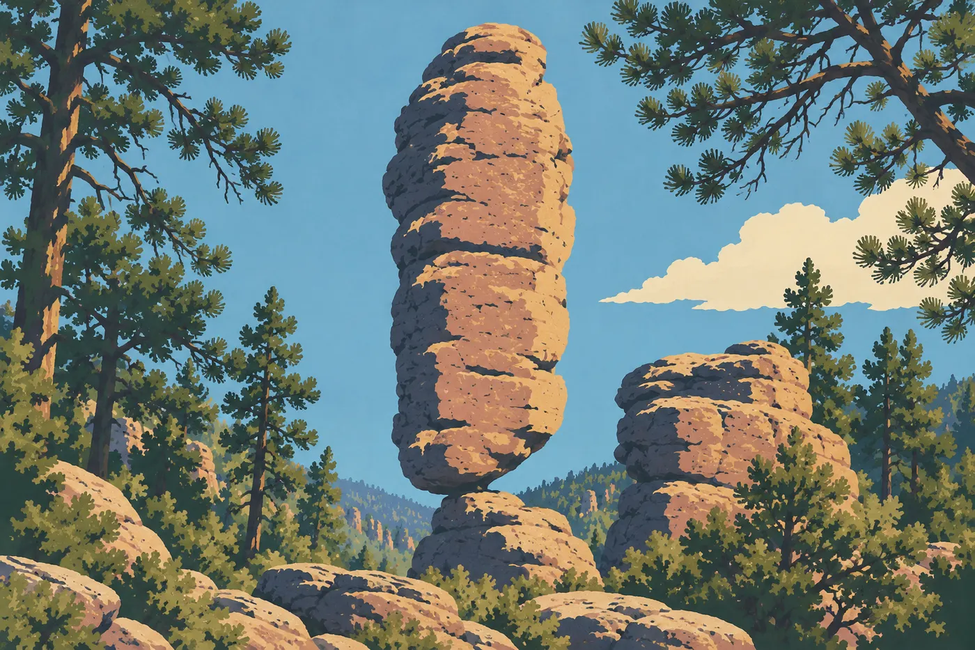
Heart of Rocks gathers the most photographed formations in the park, including spectacular balanced boulders. No road leads there, and it's not a short loop from the parking area. From Echo Canyon, via the Ed Riggs, Mushroom Rock and Big Balanced Rock trails, plan on 4 to 6 hours of hiking, with breaks on top of that. It's a full day on its own. The park advises against setting out after 1 p.m.
Starting from the visitor center is possible, but the effort moves into another category, with more elevation change and 4 to 8 hours quoted. With no shuttle, a one-way traverse requires a second vehicle, so stick to out-and-backs. For distances, elevation gain and the direction of the final loop, see the selection of Chiricahua hikes.
Natural Bridge: For Motivated Hikers
The name draws you in, but you see this natural bridge from a distance, across a canyon, and you don't walk under it. The hike, about 3 to 4 hours, crosses areas marked by past fires, with open views. The trailhead is a small three-space parking area along the road. It's a good forest walk if you're after quiet, but not a top pick for families.
Choose a Hike That Fits Your Fitness Level
The trail network is the real reason to come, but the altitude, sun and uneven terrain make every outing harder than it looks. Durations are guidelines, not stopwatch times. Carry at least 1 liter of water per hour of hiking, and more in strong heat.
From mid-June through September, the monsoon brings afternoon thunderstorms. Start early and get off the ridges as soon as the sky darkens. In winter, snow and ice can make trails and the upper road slippery, even when access looks clear down low. To pick your season, see when to visit Chiricahua.
Other Activities by Interest
Wildlife and Birdwatching

From the creek to the high-elevation forests, habitats change quickly. The area around Bonita Creek and the lower park are natural starting points, with binoculars and a little quiet. Keep your distance from all animals and never feed them. The guide to Chiricahua wildlife covers the species and good habits.
Stargazing and Photography
Chiricahua has been an International Dark Sky Park since 2021. Open parking areas like Faraway Ranch or Bonita Creek work for stargazing, and the first stars appear on the horizon from Echo Canyon or Massai Point. Check the moon phase and cloud cover. The designation doesn't guarantee the Milky Way every night.
You can come for the evening and leave afterward, with no campground reservation or evening permit. Only an overnight stay requires a campsite. Sleeping anywhere else in the park, including in a parking area or a vehicle, is prohibited. Wildlife is especially active at night, so drive and walk carefully.
For photography, the columns show the most relief in low-angle light, early in the morning and late in the day.
Traveling With Kids
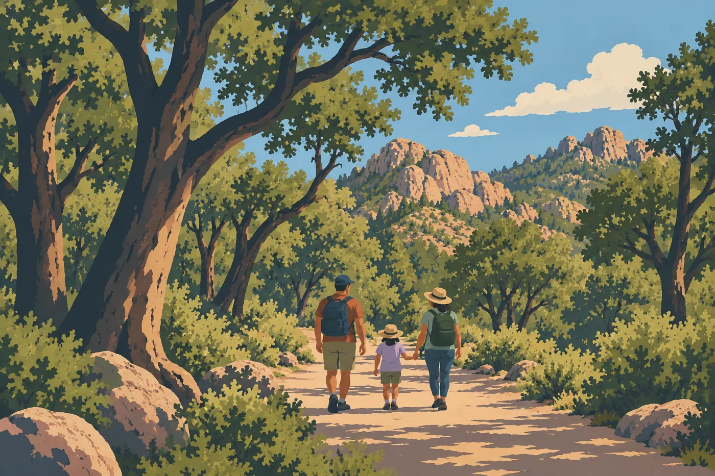
Kids take quickly to the balanced rocks and the Junior Ranger booklet. Bonita Creek Loop, the Faraway Ranch walk and the Massai Point Nature Trail make an easygoing program you can adjust to everyone's energy. The Grottoes are a first on-foot adventure, with no stroller. The guide to Chiricahua with kids explains how to organize a day with children.
Accessibility
Paved Bonita Creek Loop is the best option for wheelchairs. At Massai Point, only the stretch of about 525 feet on the Nature Trail may work, with powered assistance. The other trails are rocky and steep.
Bikes and Dogs
Bikes and e-bikes are prohibited on trails. Leashed dogs are allowed on a few lower trails (Bonita Creek, Silver Spur Meadow) and in parking areas, but not on the upper trails, even if you carry them.
Apache History and Culture
The park takes its name from the Chiricahua Apache, whose ancestral homeland this range is. Their history didn't begin with the arrival of settlers. After being deported, the Chiricahua were held as prisoners of war until 1913. Today the park consults with tribal nations and respects their traditional access. Stay on marked trails and don't move anything.
Things to Do Around Chiricahua
Willcox is a convenient base, about 45 minutes from the park, with services and lodging. The overview of where to stay near Chiricahua compares the options.
The mountain range extends well beyond the park boundaries. On the east side, Portal and Cave Creek Canyon offer a very different setting. That area is outside the park, with no direct paved road, so allow more than an hour and plan a separate day.
Farther west, around Tucson, Saguaro National Park is another regional stop for a southern Arizona road trip, best planned as its own stop. The Chiricahua overview guide presents the park in its regional setting, meals and picnics included.
Frequently Asked Questions
What is there to see at Chiricahua?
Columns and balanced rocks carved from volcanic tuff, which you can view from Massai Point and explore on foot in Echo Canyon or at Heart of Rocks. The lower park adds Bonita Creek, the historic Faraway Ranch and the visitor center museum.
How much time do you need to visit Chiricahua?
One day is enough to see the highlights, including the scenic road, Massai Point and the Echo Canyon Loop. Half a day covers the road and a short walk, and two days leave room for Heart of Rocks or an evening of stargazing.
Is Chiricahua worth visiting?
Yes, if you like hiking and geological landscapes. Free entry, compact size and dark night skies make it a solid stop on a southern Arizona road trip. If you don't leave your car, the appeal is more limited, since you need to hike to experience the rock columns up close.
Can you do Heart of Rocks in a morning?
No. From Echo Canyon, plan on 4 to 6 hours of hiking, with breaks on top of that, and the park advises against starting after 1 p.m. Set aside a free day for it rather than stringing it together with Sugarloaf Mountain.
Can you go stargazing at Chiricahua and then leave?
Yes. No campground reservation or permit is needed for an evening visit. Only an overnight stay at the campground is allowed, though, and sleeping in a parking area or a vehicle outside the campground is prohibited.
Is there a shuttle at Chiricahua?
No, the hiker shuttle is no longer running. You'll need a car, and loops or out-and-back hikes spare you from arranging a second vehicle.
Is there an entrance fee for the park?
No, entry is free and no pass is required. The campground still charges a fee and must be reserved in advance.
What should you bring for hiking at Chiricahua?
At least 1 liter of water per hour of hiking, warm layers, a windbreaker, sturdy shoes and a downloaded map. There's no water at the Echo Canyon parking area, and cell service is spotty.