
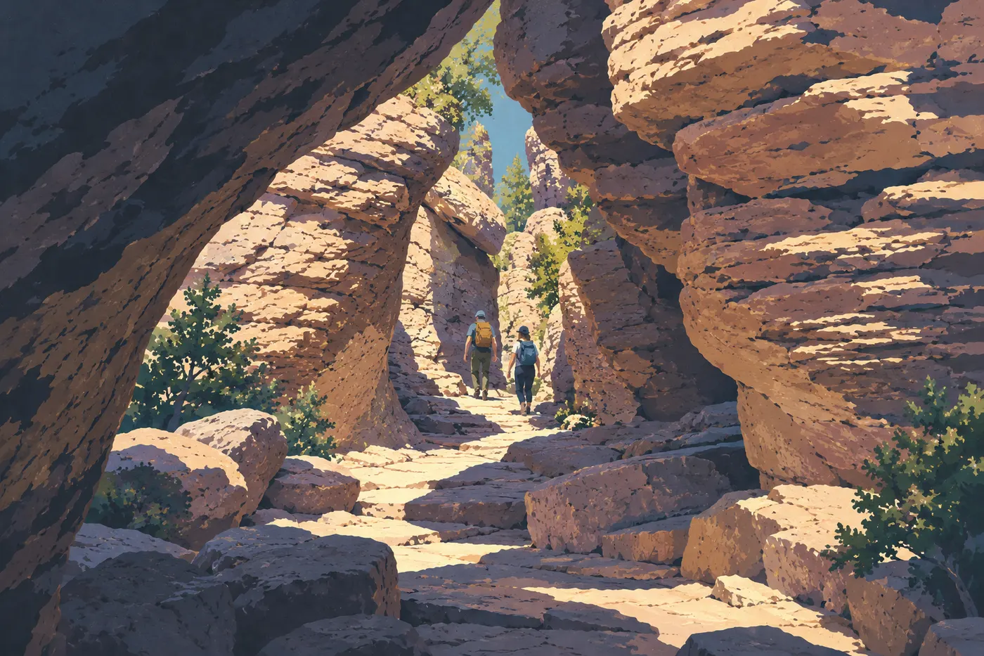
Chiricahua Hikes: The Best Trails by Difficulty and Access
Chiricahua is best seen on foot, among columns and balanced rocks carved from rhyolitic tuff. The trail network runs from 5,125 feet at the entrance to 7,310 feet at the top of Sugarloaf Mountain, so elevation matters as much as distance. One more thing to know up front. Most trailheads sit at the top of the park, which means the return trip is often uphill. To see how these hikes fit into your visit, start with the complete Chiricahua guide.
If you only do one hike, make it the Echo Canyon Loop. This 3.3-mile loop (about 560 feet of listed elevation gain, 2 to 4 hours) drops between the columns, then climbs back out on the Ed Riggs Trail. With a full day and strong legs, go for Heart of Rocks from Echo Canyon instead. For a big view in little time, pick Sugarloaf Mountain. For a very short outing, the Massai Point Nature Trail or the Bonita Creek Loop will do.
| Trail | Distance | Listed elevation gain | Estimated time | Type |
|---|---|---|---|---|
| Bonita Creek Loop | 1,050 feet | flat | 15 to 30 min | loop |
| Massai Point Nature Trail | 2,625 feet | slight | 30 min | loop |
| Echo Canyon (past the Grottoes) | 1.2 miles | moderate | 1 hr | out and back |
| Sugarloaf Mountain | 1.8 miles | about 490 feet | 1 to 2 hrs | out and back |
| Echo Canyon Loop | 3.3 miles | about 560 feet | 2 to 4 hrs | loop |
| Natural Bridge | 4.8 miles | about 980 feet | 3 to 4 hrs | out and back |
| Heart of Rocks (from Echo Canyon) | 7.4 miles | more than 980 feet | 4 to 6 hrs | out and back with a final loop |
Times are estimated walking times, and rest stops, heat or slick footing will stretch them. Elevation gain figures are the ones the park lists, not a total measured from a GPS track.
Preparing for Your Chiricahua Hike
Entry, Rules and Hours
Entry to the park is free and requires no pass. The trails covered here are day hikes on marked routes. On every trail, overnight stays, climbing, flying drones, biking and feeding animals are prohibited. The visitor center is open from 8:30 a.m. to 4:30 p.m., with exceptions on some holidays. It's where you'll get trail conditions and the day's advisories.
The trails stay open for sunrise, sunset and stargazing. You'll want a headlamp for those outings.
Water, Heat and Thunderstorms
Plan on at least 1 liter of water per hour of hiking, and more in serious heat or on a long outing. The Echo Canyon parking lot has no water, so fill your bottles before you head up. The top of the park can run 5 to 11°F cooler than the entrance, but it's also windier and more exposed to the sun. Dress in layers year-round.
The monsoon runs from June 15 to September 30. Thunderstorms tend to hit in the afternoon, with lightning and flash floods in the gullies. In summer, start early and get off the ridges before the sky builds up. In winter, overnight lows often drop to around 32°F or below, and ice can make trails and the road tricky even when access looks clear. We compare the seasons in our guide to the best time to visit Chiricahua.
Terrain, Dogs and Wildlife
The ground alternates between gravel, rock and sand, with uneven steps, narrow passages between boulders, roots and drainage channels. Hiking shoes with grippy soles make a real difference, and trekking poles are recommended. Heights can get to you. The park advises people who are very sensitive to exposure to skip certain trails, Hailstone first among them. Don't climb on the rocks, and stay on the marked trails.
Cell service is spotty, so download your route and check the Chiricahua map before you go.
Dogs aren't allowed on the trails in the upper park, even if you carry them. On a leash, they're permitted on the Bonita Creek Loop (partly paved), on the Silver Spur Meadow trail and on the connector between the campground and the visitor center.
Watch wildlife from a distance and never feed it, and look before you put your hands and feet down. Species and best practices are covered in the Chiricahua wildlife guide.
The Best Hikes, Area by Area
Everything is organized around Bonita Canyon Drive, which climbs 8.1 miles from the entrance to Massai Point and then returns the same way. The trailheads are spread out along this road. Every trail below starts from inside the park. Portal and the rest of the Chiricahua Mountains don't connect to it by a paved road.
Lower Park: Bonita Canyon
Bonita Creek Loop
1,050 feet · flat and paved · 15 to 30 min · very easy · loop
The loop starts at the Bonita Creek parking area (9 spaces), on the canyon floor. It runs through the lowland vegetation, where birds are plentiful, and it makes a good warm-up or an easy break. Its paved section is the only trail in the park suited to all mobility devices.
Along the Road: Natural Bridge
Natural Bridge Trail
4.8 miles · about 980 feet of listed elevation gain · 3 to 4 hrs · moderate · out and back
The trail begins at its own trailhead on the scenic road, which has only 3 parking spaces. Arrive early, or plan a different outing if they're taken, and don't park on the shoulder. The path rises and falls through areas marked by fire, with open views. It leads to a viewpoint over a natural rock bridge, which you see from a distance. The trail doesn't go underneath it. It's a quieter option than the Echo Canyon area.
The Upper Viewpoints: Massai Point and Sugarloaf
Massai Point Nature Trail
2,625 feet · slight elevation gain · about 30 min · easy · loop
The loop starts at the Massai Point parking area (25 spaces), at the end of the road. It offers a panorama over the columns and valleys, with interpretive signs on how the rocks formed. Only about 525 feet of it suits some mobility needs, and only with powered assistance. The full loop isn't accessible to everyone.
Sugarloaf Mountain Trail
1.8 miles · about 490 feet of listed elevation gain · 1 to 2 hrs · moderate · out and back
Sugarloaf has its own parking lot (17 spaces) near the top of the park. The climb is short and steady to the park's high point at 7,310 feet, crowned by a fire lookout tower. The view is open for a full 360°. The wind is often strong at the summit, so keep a windbreaker in your pack.
Echo Canyon: The Rocky Heart of the Park
The trails in this area start from the Echo Canyon parking lot (19 spaces), which has no water. It fills up easily from February through April and on holiday weekends.
Echo Canyon Past the Grottoes
1.2 miles · moderate elevation gain · about 1 hr · easy to moderate · out and back
This short version winds between the boulders of the Grottoes, with tunnel passages and balanced rocks. You turn around when you reach a rock window and some switchbacks. The return climbs back to the parking lot. It's a good way to test how comfortable you are on this terrain before a longer outing.
Echo Canyon Loop
3.3 miles · about 560 feet of listed elevation gain · 2 to 4 hrs · moderate · loop
The loop strings together the Echo Canyon, Hailstone and Ed Riggs trails. Hike it counterclockwise. You first descend Echo Canyon between the columns, the Grottoes and narrow canyons, then turn left onto Hailstone to skirt the Wonderland of Rocks and its spherulites. The return climbs back up the Ed Riggs Trail, named for one of the owners of Faraway Ranch, so save some energy for that last stretch. Hailstone is the section to avoid if you're afraid of heights. If the Echo Canyon lot is full, Massai Point is another possible starting point, but changing trailheads changes the route, the length and the effort. The listed 3.3 miles applies to the loop starting from the Echo Canyon parking lot. In summer, finish before the afternoon thunderstorms.
Heart of Rocks from Echo Canyon
7.4 miles · more than 980 feet of listed elevation gain · 4 to 6 hrs · difficult · out and back with a final loop
This is the signature outing for a full day. From the Echo Canyon parking lot, you follow the Ed Riggs Trail to Mushroom Rock and Big Balanced Rock, an enormous boulder perched in balance, then drop into Heart of Rocks. Walk through the trees to a sign on the left. From there you continue on the marked trail over big rock steps to begin the final loop. Hike this loop clockwise, because it's too hard to follow in reverse. The loop is only part of the hike, since the 7.4 miles include the approach and the return, which climbs back up toward Echo Canyon. The park recommends not starting after 1 p.m.
Demanding Day Hikes
Heart of Rocks is still the best-balanced choice for a big day. You can also start from the visitor center, in the lower park. The route climbs the Lower Rhyolite trail, then the steep Sarah Deming climb, before dropping into Heart of Rocks. It's considerably more demanding (about 1,600 feet of listed elevation gain, 4 to 8 hrs) and a bit shadier.
The Big Loop isn't a single trail but an assembly of upper-park segments, and its length ranges from about 8.7 to 11.8 miles depending on the combination. If you're aiming for that scale, build your loop on a map from segments you know (Echo Canyon, Hailstone, Ed Riggs, Heart of Rocks) and confirm it at the visitor center.
Getting There, Getting Back and Parking
You'll need a car. There are no taxis, ride-hailing services or public transit. Drive times from Willcox and the choice of approach route are in our guide to getting to Chiricahua. Once you're here, parking, overnight parking and traffic are covered in the guide to getting around Chiricahua.
No shuttle brings hikers back to their starting point, so stick to loops and out-and-back routes. A one-way traverse only works with a private drop-off arranged in advance, and never by counting on hitchhiking.
Beyond the campground, the road to the upper park is limited to vehicles up to 24 feet and closed to trailers. Longer rigs need another plan for reaching the trailheads, and the RV guide for Chiricahua covers the options. Sleeping in your vehicle or parking overnight outside the campground (23 sites, all by reservation) is prohibited.
Which Hike to Choose for Your Group
- Under an hour: Massai Point Nature Trail or Bonita Creek Loop.
- Young kids: Bonita Creek Loop, then an out-and-back to the Grottoes. Keep the little ones close, because there are drop-offs even on the short routes. The guide to visiting Chiricahua with kids details outings by how independent your children are.
- Big view, fast: Sugarloaf Mountain.
- Half day: Echo Canyon Loop.
- Quieter feel: Natural Bridge.
- Full day and good fitness: Heart of Rocks from Echo Canyon.
- Photography: Echo Canyon in the morning light, Massai Point late in the day.
To fit these hikes in with the park's other stops, see the must-sees and activities in Chiricahua and the 1 or 2 day itineraries.
Frequently Asked Questions
What is the best hike in Chiricahua?
The Echo Canyon Loop is our pick for a first visit. This 3.3-mile loop packs the park's most spectacular columns into 2 to 4 hours. For a full day, Heart of Rocks from Echo Canyon takes over.
Is hiking in Chiricahua hard?
It ranges from very easy to difficult. The Bonita Creek Loop is flat and paved, while Heart of Rocks runs past 7 miles with more than 980 feet of listed elevation gain. The real challenge comes from the elevation, the uneven rocky terrain and the uphill returns.
What are the risks of hiking in Chiricahua?
The main ones are heat, monsoon thunderstorms and flash floods, winter ice, exposed rocky sections and wildlife. Carry water (at least 1 liter per hour of hiking), start early in summer and check conditions at the visitor center.
Do you need a permit for day hikes?
No. Park entry is free with no pass required, and the trails are day hikes on marked routes. Staying overnight on a trail is prohibited.
Can you hike with a dog in Chiricahua?
Not on the upper-park trails, even if you carry your dog. On a leash, dogs are allowed on the Bonita Creek Loop, the Silver Spur Meadow trail and the connector between the campground and the visitor center.
Can you do Heart of Rocks in half a day?
You're better off giving it the whole day. Plan on 4 to 6 hours of walking, not counting breaks. The park recommends not setting out after 1 p.m.